Leaderboard
Popular Content
Showing content with the highest reputation on 07/01/19 in all areas
-
Trip: Mt. Hood - Infinity Loop Trip Date: 06/21/2019 Trip Report: After a hard day and a half in the mountains, I'm stoked to report the Mt. Hood infinity loop goes! The past few weeks I was busy with graduation stuff and couldn't get on the mountain. Finally, on the 20th, the weather looked alright and I decided to head up to attempt the loop. My plan was to climb up Cooper Spur, run half of the Timberline trail, climb Cooper Spur again, and then run the other half of the Timberline trail. Knowing how much gear I needed, I cached some food, water, and clothes by Timberline Lodge before I started up. The rest of the supplies I would hike up with and stash at Cloud Cap Campground. At around 4 or so I arrived at the trail head to go to Cloud Cap Campground. The gate was still closed so I hiked up the trail to camp in about an hour and half. The weather was pretty nice despite some wind and clouds surrounding the summit of the mountain. I was all alone at camp which is always welcome. After eating some dehydrated pad thai, I was asleep before the sun set. The beautiful approach hike 4 am rolls around and my alarm goes off. I throw some food in my small pack and head up trail. Everything is going pretty good until I start the switchbacking up to the route. Visibility could have been better, the wind was howling, and I was pretty cold. The tee shirt plus R1 was probably not the best clothing choice for the conditions that day. When I got to tie in rock, I hid behind it and warmed up for a few minutes. Having never been on Cooper Spur before, I was surprised at the type of climbing. The first few thousand feet were basically a moderately steep snow slope, however, the last 600 or so involved thin ice climbing, mixed moves, and lots of exposed rock. I was glad I decided to bring 2 tools. After about 3 and a half hours I was on the summit. There still wasn't any visibility but the wind was gone. I cruised down the old chute and was at Timberline by the early afternoon. Part of the trail up Summit selfie When I got to my cache, I put on running shorts, ditched the boots, crampons, and stocked up on more GU and water. I decided to take the west side of the Timberline Trail first, the west side was longer and would provide less down time before the second summit. The first few miles of the trail were pretty snowy but after Paradise Park it was largely dry. It was pretty wet and fog obscured any scenic view. I think I made it to camp around 7 pm that night, the first climb slowed down my pace on the trail significantly. At camp, I was no longer alone. Apparently the gate opened that day! I was stoked because I could hitch a ride down after my trip instead of hiking back out. After eating some apples and changing into climbing stuff again, I was off on the second lap. This time conditions were absolutely perfect. Clear skies and no wind allowed me to enjoy the stars and see the lights of the city. That view will never get old. This time it took me about 6 hours to reach the summit. I took liberal breaks because I didn't want to be tired for the mixed section. At 2:30, I was on the summit for the second time in 24 hours. It was quiet, clear, and very enjoyable. This time, the descent was harder. The hard snow put a number on my knees during the descent. At this point, the lack of sleep was catching up to me. Cool rock I saw The stunning, but haunted Ramona Falls Creek crossing with huge carin Enjoying better conditions later in the day When I made it back down to Timberline, I had 16 more miles to go. My legs felt surprisingly fresh when I headed out. The first 6 miles or so were cruiser, however, intermittent snow slowed me down on the last little bit. I made it back to the parking lot after 32 hours, 28 minutes, and 8 seconds. This trip was one of my favorites in recent memory. I hope the infinity loop catches on on Mt. Hood. I would love to see some hardmen knock down the time. In total it was 56.65 miles and 20,445 feet of elevation gain. Get after it Gear Notes: Tee shirt and R1 Approach Notes: Road to Cloud Cap is now open1 point
-
1 point
-
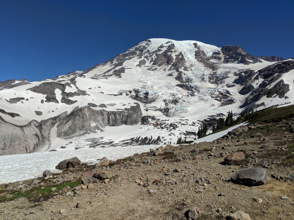
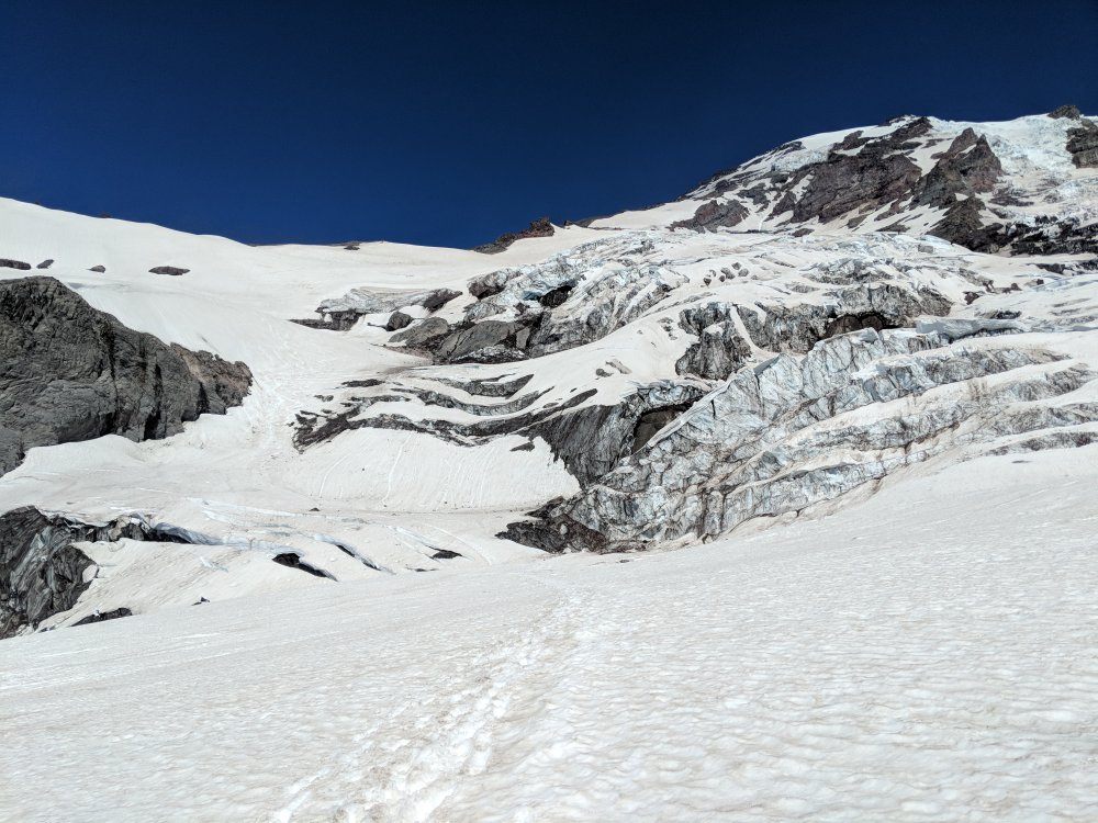
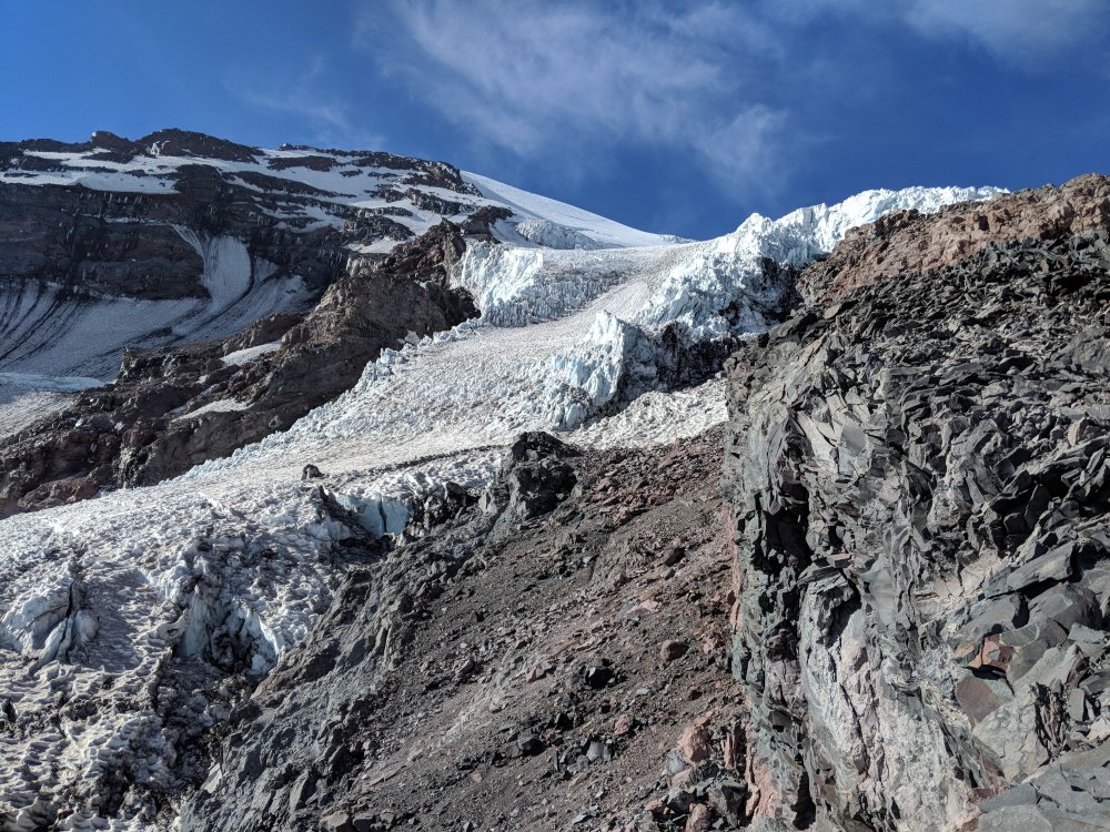
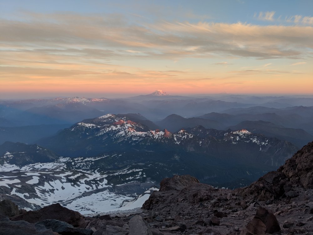
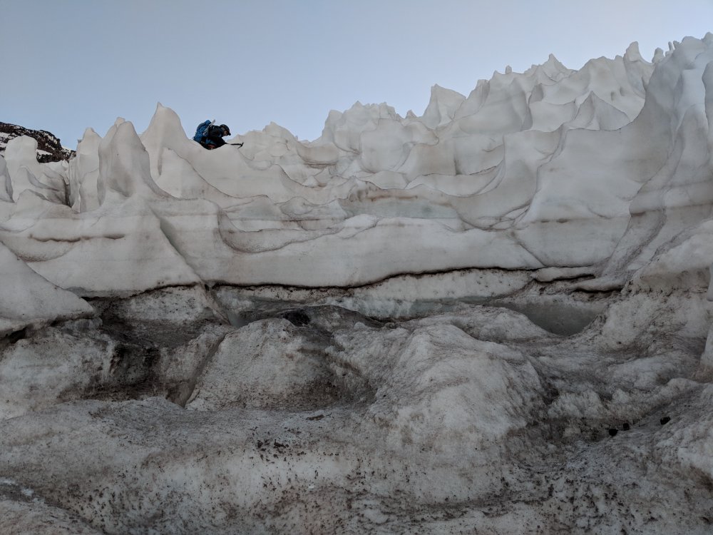
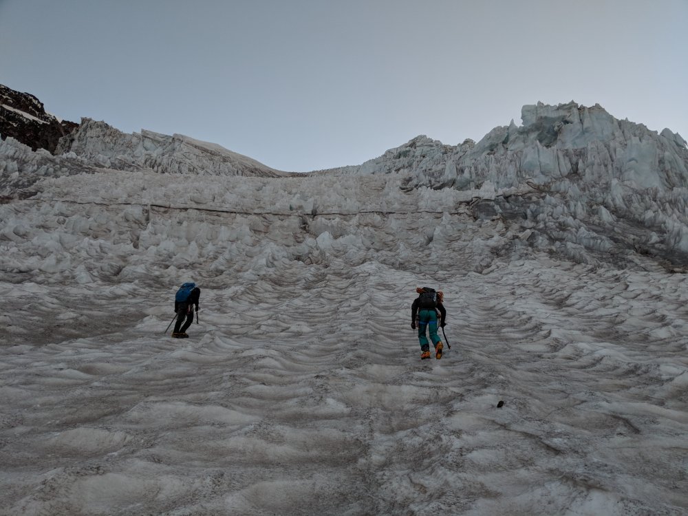
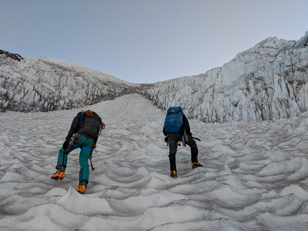
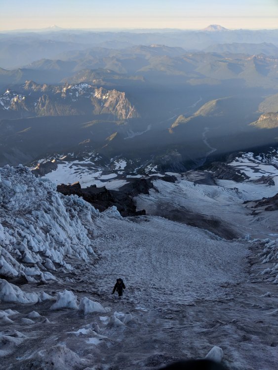
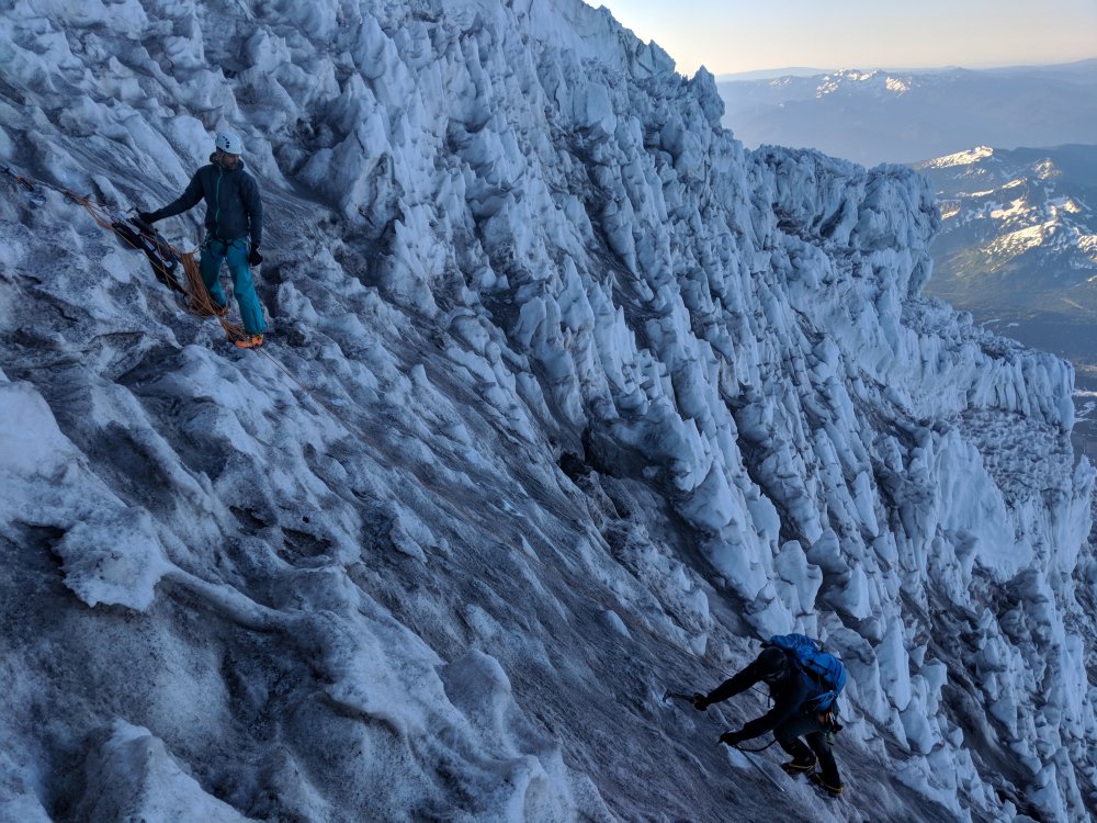
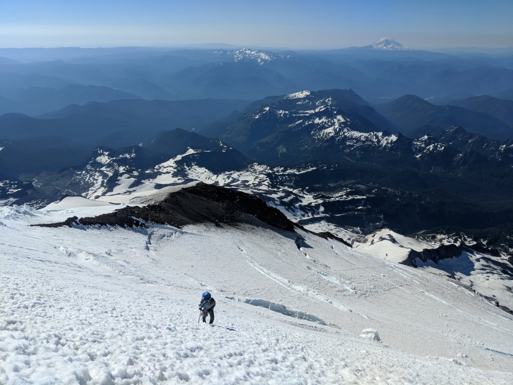
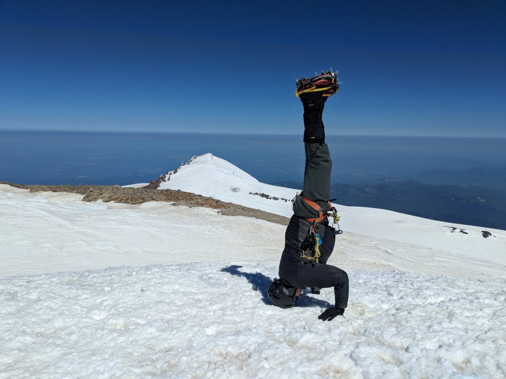
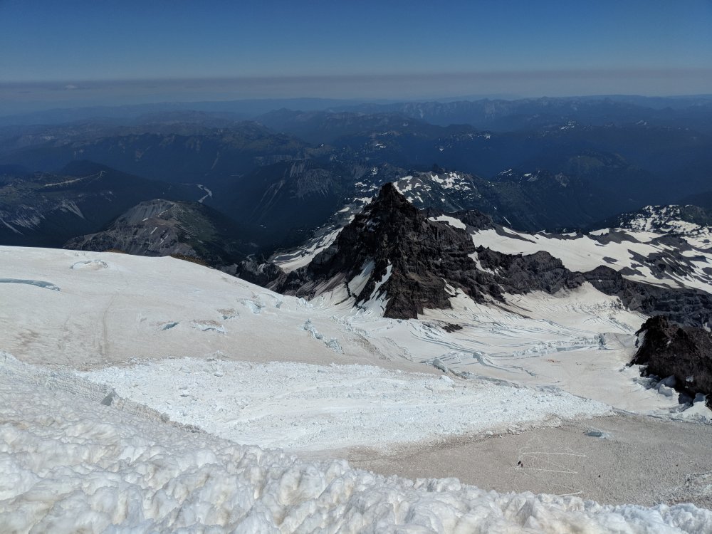
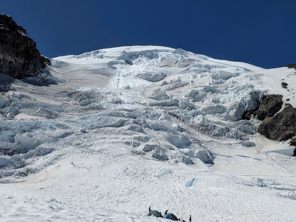
Trip: Mt. Rainier - Kautz Glacier Trip Date: 07/13/2018 Trip Report: I met up with two fellow CC'ers at Paradise on Friday morning for an attempt at the Kautz. It was going to be a busy weekend on the mountain which was evident by the line of climbers waiting for the guide house to open at 7am, but we would soon discover that we would have the route all to ourselves. After getting our permit we were back at the cars to gather gear and discuss whether or not we wanted to descend the Kautz or carryover and descend the DC. We eventually agreed on the carryover, and given the excellent weather forecast we left the tent at the car with plans of an open bivy either at High Castle or just below the rock step. We took the essentials and had our packs down around 35 lbs which was a nice change of pace. By 9:15am we were on the trail and heading towards Glacier Vista where we then dropped down onto the lower Nisqually. The Fan is melting out and showed plenty of signs of rock fall so we aimed for the Wilson gully which looked to be in much better shape. We roped up and it was an easy trek across the Niqually and up the gully. There were some cracks starting to open up in the gully but nothing major. From there it was a straight shot to the ridge where we then ascended to just below the Turtle snowfield (9400') where we found plenty of running water. It was around 3pm by this time so we took a good break to replenish our water, have a snack, and enjoy the views. We all felt good so we continued on up to Hazard. By 5:30pm, just over 8 hours from the parking lot, we arrived at 11,100' just below the rock step with a handful of bivy sites to choose from. There was a fair bit of wind but unfortunately none of the bivy sites offered much protection. We did find running water here as well (though it slowed to a trickle by morning). After taking a quick look at the ice chute we settled in for the evening. By this time we had not seen any other parties on the route and we were all alone at Hazard. We did find out after the climb that another party did start out later than us and was bivying at the Castle. I think I managed to get a few hours of sleep with the wind beating down on us all night. I've definitely slept better. We got a bit of a late start, but by 4:30a we were on the move and we were at the base of the ice chute at 5:15a with some good light on the route. We used our rope to rappel off the rock step. The anchor looked to be in good shape, but the fixed line has seen better days. The first ice step was full of penitentes which made for easy solo climbing. We each had an axe and a tool, though the tool wasn't really necessary on the first step. We continued above the first step on the lower angle snow towards the second ice step which looked to only have a short section of alpine ice toward the top. As the steepness began to increase we were still on dense sun cupped snow which made for fun climbing with a tool. This was my first time on steep terrain with a tool so it was a good introduction. I continued up to where the ice began and waited for my more experienced partners to solo the ice. I almost followed but with it being my first time on steep alpine ice had them build a quick anchor and belay me up through the short section of ice. With the ice chute out of the way we continued upwards toward the top of Wapowtey Cleaver, easily navigating the crevasses. We didn't quite touch Wapowtey Cleaver before turning NW toward the saddle between Point Success and the summit. By 10:30a we were on the summit! It was a bit breezy so we snapped some pictures and then retreated into the crater for a break at register rock. We were all alone on the summit as well which we expected since the DC climbers were probably on the summit closer to sunrise. At 11:45pm we started down the hot and slushy DC route. We made good time and got see the impressive icefall that happened earlier in the week. We hustled through this section and arrived at Muir just after 3pm. After a good break to grab a snack and pack some gear, we slogged down the Muir snowfield and were back to the cars by 5:30p. This route was new to all of us and we had a blast! Being away from the crowds and in a new area of the mountain was really great. And I think this was a perfect route for me to experience steeper, more technical terrain. I'm looking forward to getting on more steep ice in the future. Thanks Kevin and Phil for a awesome climb! Paradise to Hazard: 8 hrs Hazard to Summit: 6 hrs Summit to Muir: 4.5 hrs Muir to Paradise: 2.5 hrs Total Mileage: 14.1 miles according to the GPS Photos and GPS track courtesy of Kevin Wilson Gully: Ice Chute: Sunset: Approaching first step: In the first step: Approaching second step: Looking down the chute: Belay: Above the chute/Wapowety Cleaver: Summit headstand: Icefall from above: Icefall from below/Ingraham Flats: GPS Track: Gear Notes: Standard glacier rack. Ice axe + tool. 6 screws. Approach Notes: Wilson Gully. Running water at Upper Castle and at Hazard if it is warm enough.1 point


