Leaderboard
Popular Content
Showing content with the highest reputation on 06/19/19 in all areas
-
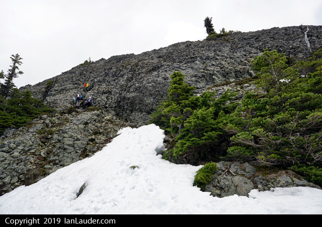
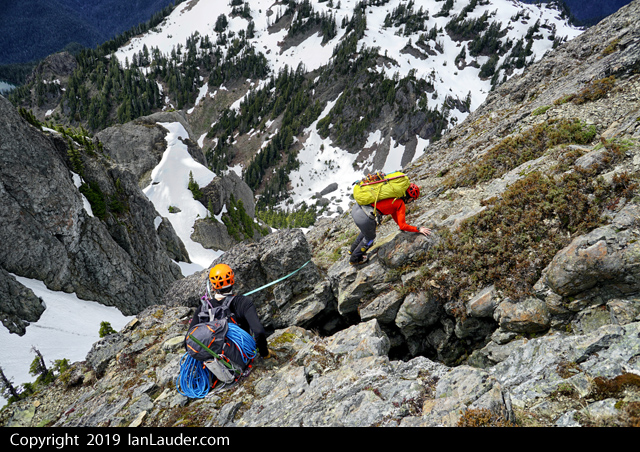
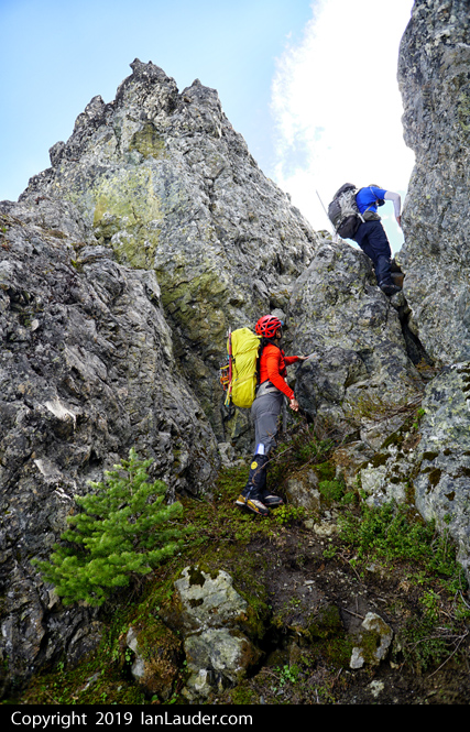
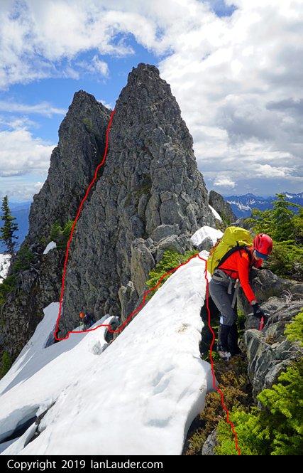
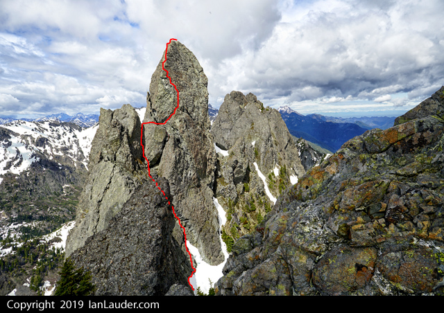
Trip: Eldorado Peak and Dorado Needle - E Ridge and NW Ridge Trip Date: 06/16/2019 Trip Report: Conditions are quite good in the Eldorado area right now. We made a casual ascent of Eldorado on our approach day and climbed the NW Ridge of Dorado Needle on Sunday. The climbing was easy but damn... that descent to the car was pretty punishing. Full trip report and photos: Spokalpine Gear Notes: Crampons/Axe for Eldorado. Light rock rack for Dorado Needle. Approach Notes: Wear a knee brace2 points
-
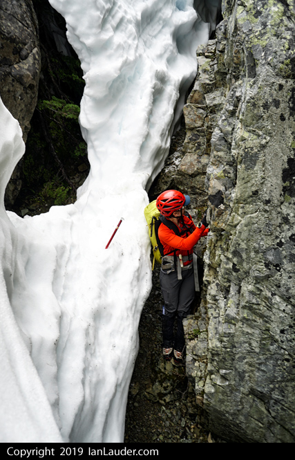
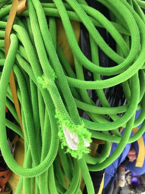
Trip: Mount Cruiser - Southwest Corner Trip Date: 05/26/2019 Trip Report: Note that the road was opened by the park service only for Memorial Day weekend and has otherwise been closed for construction. Check ahead of time with NPS about the road access to the trailhead. Mount Cruiser YouTube Video Also, some beta such as on Summit Post says NWFS pass is needed. If you park at the trailhead you need an Olympic Park pass (can pay cash or credit card in the envelopes) if the booth is closed. Could also park on the road outside the park booth and walk in. NFWS pass may be needed at that point? Weather was wonky everywhere this weekend. Olympics had a potential window for Sun/Mon so we changed our plans 4 times before deciding on a 2-day Cruiser trip. Plan was to hike in Sun and camp at Gladys Divide (note a camping permit is needed for either Flapjack Lake or Gladys Divide, they are in the same zone). So we got permit by phone from the Hoodsport WIC on Friday. (view from camp up the approach to Beta and the Needle) 5hrs from trailhead to Gladys Divide and pitched camp around 1pm. A couple guys came down from Beta right about then said the weather in all directions looked great. Originally there were slight chances of thunder starting around then. So since weather was shifting and Monday was looking potentially worse we geared up last minute and decided to make a run for the climb right then at 2pm figuring we would be coming back to camp around dark. (3rd class scramble up Beta from the Needle) Only took us 1:45 from camp to the base of the 4th class scramble up Cruiser. (2nd rap anchor, there's a tree anchor as well a bit further left, a 60m rap will get you to the snow from the tree, we didn't use this one). The 2 gullys were a mix of snow, rock and moats but were navigable. (the "4th class move", just a step down) There were a pair of minimalist climbers ahead of us. Picking out their footprints in the snow in a few places sped up our routefinding of the gullys. So, whoever you two were Thank You. First one with the "4th class move" was easy, finding the 2nd gully would take a bit of poking around if you didn't know where to look, we stayed high on the ridge where the snow topped out, then dropped down the ridge. From there it was a mix of rock scrambling, crossing the snow, and navigating moats to the base of the climb. (navigate down the 1st gully, skirted the moats and then find the next long gully, which was a mix of snow, rock and moat navigation) From there another 2 hours for the first of us to climb the 4th class pitch, up the 3rd class through the cannon hole and then climb the standard route to the summit. That put us there around 6pm. Probably around 8:00 to 8:30 before we had all 4 people back down at the base of the climb and ready to head back. (first view of Cuiser from the top of Beta before dropping down the 1st gully) Another 3 hours to get back to the camp at 11:30pm. With the sun going down we were going back up the 2nd gully in the dark then taking it much slower down the 3rd class scramble of Beta. Did a double rope rap from the tree anchor on Beta which got us a bit down the snow slope. Snow conditions were easy enough to run down the entire slope to camp. Around 19 hours actual moving time car-to-car for the climb with 4 people (with overnight packs). There is a mouse or snaffulhound at Gladys Divide sporting a new neon green nest. Woke up to a shredded rope the next morning. One of the minimalist climbers we met also had a chunk taken out of his climbing glove from a snaffulhound that bit his hand at the top of the 4th class gully scramble rap station. I saw a couple of them running around the climbing route. Gear Notes: ice axe, 60m rope, crampons (not really needed), light rack (.5, a couple microcams, #2 cam, a few slings, cordellete for belay anchor) - brought more pro but didn't use it. Approach Notes: 5hrs trailhead to Gladys Divide, bit of snow starting below the divide, snow covered approach to base of Beta, Beta is snow free, mixed snow/rocks/moats in the gullys but navigable. 4th class scramble and route are snow free. 1:45min from Gladys Divide to base of 4th class pitch.1 point
-
Trip: Mount Baker - North Ridge Trip Date: 06/15/2019 Trip Report: Climbed the North Ridge of Mount Baker on Saturday morning, awesome day. Hiking in we met a climber we knew who said the snow bridge across the Coleman/Deming had collapsed the night before and parties were turning around. But they saw someone who had rapped into the crevasse and walked out, so we figured one way or another we had a way down. Ran into some skiers on their way down who warned us very emphatically that the bridge was out. We were like, okay thanks. Then he repeated "its out, the bridge is OUT". Okay thanks, we got it. Got to the snowfield and found a large group of about 6 who were bailing out because they heard the Coleman was out. Okay, on we went. Got camp setup around the 6600ft football area and had the place to ourselves early afternoon. Not much in the way of tracks we could see so we hiked about another 1000ft up to the base of the ridge to log a track and make a bootpath to follow the next morning. We did start to pickup some previous bootprints around the base of the ridge. Started up around 3:30am on Saturday and got to the base of the climb around 7:30. Saw previous tracks that came up both the left and right sides of the ridge. Most went lower around the base so we took that path which worked out great. As I was leading up the ice pitch saw a pair coming up behind us. First people we saw that day. A guide and his client we leapfrogged the rest of the route with. As I was belaying up my wife another pair of climbers were getting to the base of the climb, but we never saw them again. We also saw 3 climbers much further down the ridge but never saw them again either rest of the day. Got to the summit around 10:30am. Steep in sections but there was a cruiser bootpath already there. We only had to kick back in part of the path traversing over toward the base of the climb that had melted out quite a bit. On the way back down the Coleman, as expected, people had figured out the end run and the Coleman/Deming route was just fine. Back at the trailhead ran into another group heading up for the North Ridge who had just left a car shuttle at the Easton trailhead to do a carryover because they heard the Coleman was out. Bummer they had to do that. Gear Notes: 60m rope, 3 pickets, 6 screws. Approach Notes: While the snowbridge at the end run was in (where I was standing in the pic above) and is the way across it does look like it could collapse further. And rangers are saying its the worst conditions they have seen in 25 years. Just an FYI to check your route options before you go.1 point
-
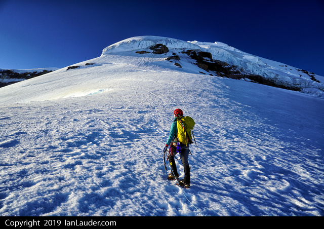
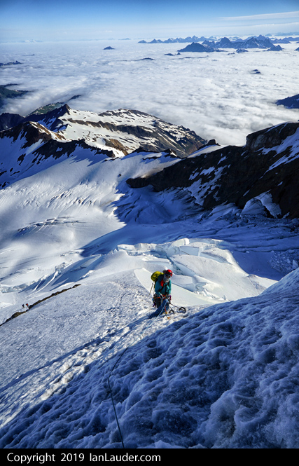
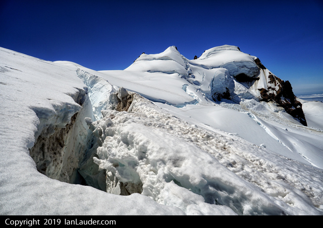
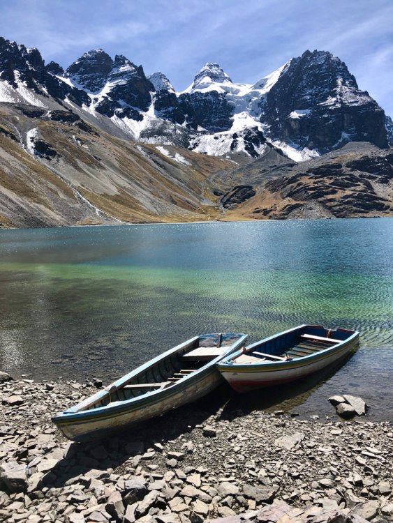
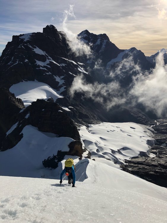
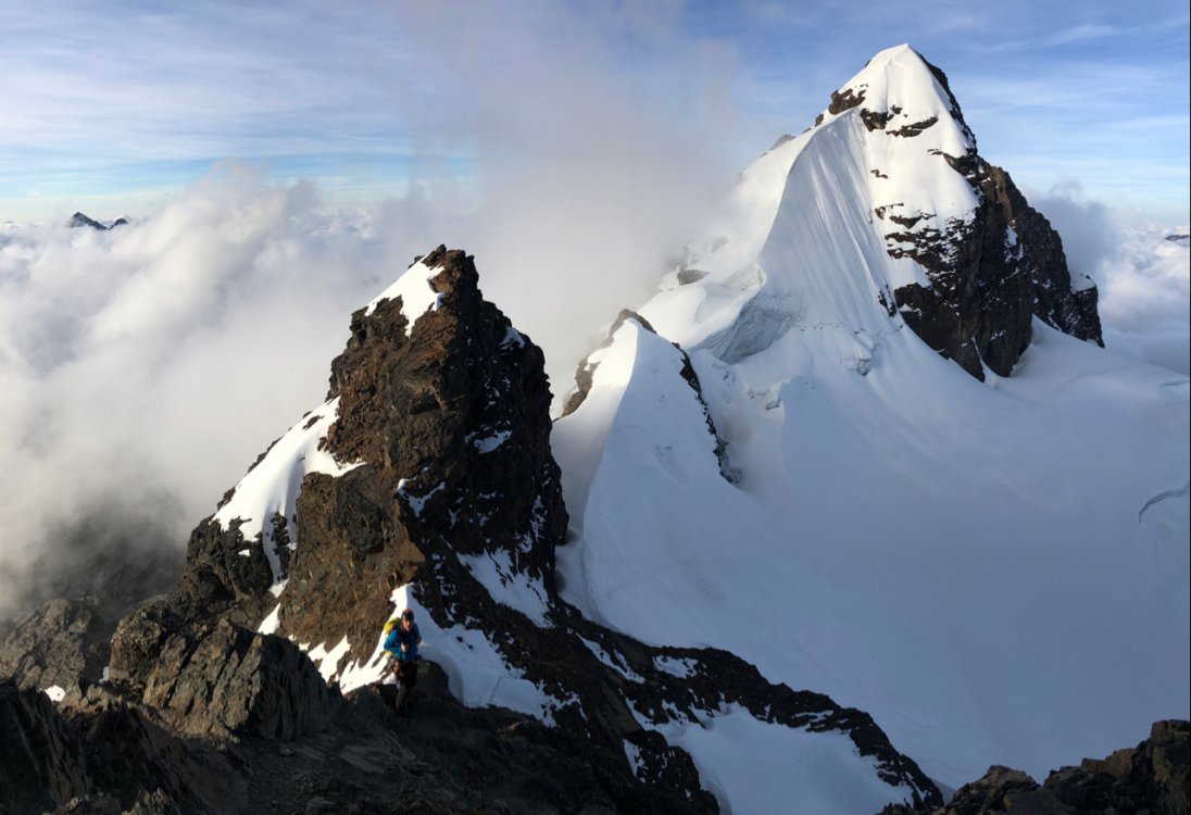
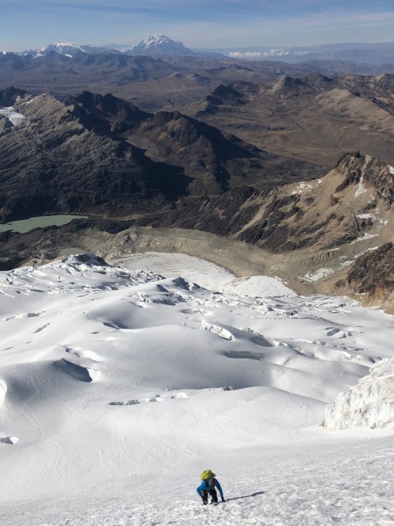
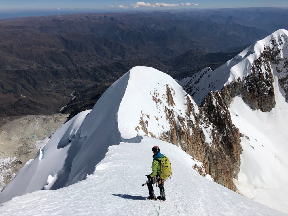
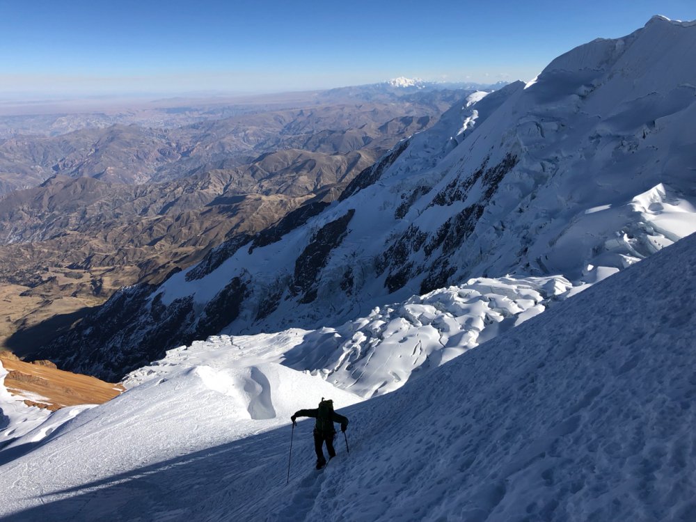
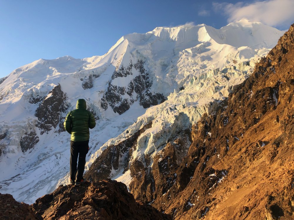
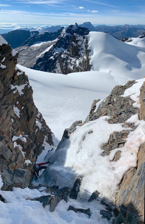
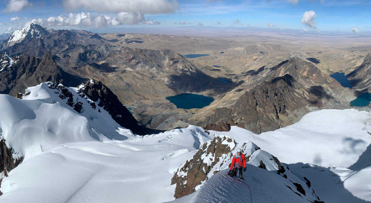
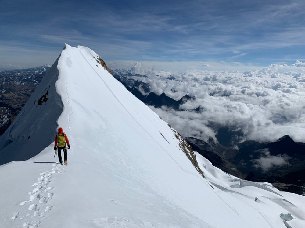
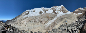
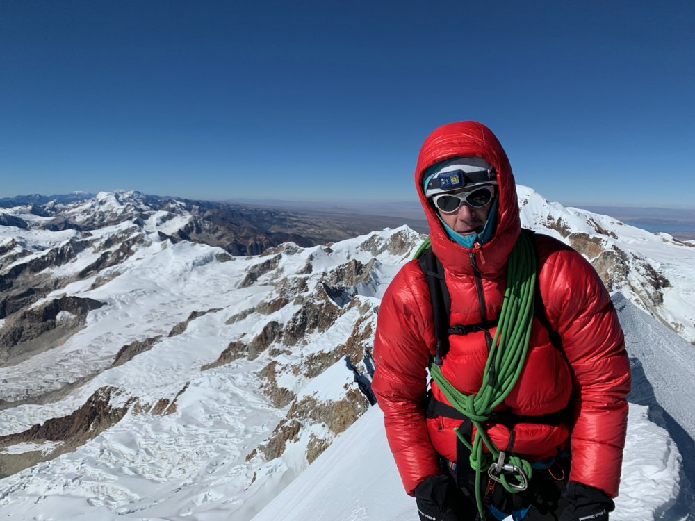
Trip: Bolivia - Cordillera Real - Pequeño Alpamayo, Cabeza de Condor, Huayna Potosí, Illampu, and Illimani Trip Date: 05/26/2019 Trip Report: I just returned from a 3-week climbing trip to Bolvia and figured some folks here would be interested in hearing about the climbing down there. We stayed mostly healthy, had perfect weather and conditions, and the logistics went smoothly, which made it possible to pack in a lot of climbs: May 26 - Arrive in La Paz May 28 - Pequeño Alpamayo (17,618') - West-Southwest Ridge (III, AD) May 30 - Cabeza de Condor (18,530') - Southwest Ridge (III, AD+) June 2 - Huayna Potosí (19,974') - French Direct Route (III, AD+) June 6 - Illampu (20,892') - Northwest Headwall to Southwest Ridge (III, AD/AD+) June 12 - Illimani (21,125') - West Spur / Normal Route (II, PD) June 15 - Depart La Paz My partner and I had previously done similar trips together to Patagonia and Peru, so we felt comfortable designing our own itinerary and climbing alone without guides. I'd recommend this for experienced climbers who appreciate a "faster and lighter" mentality (and only if you have at least one person who can speak enough Spanish to get by). We bought Yossi Brain's 1999 Bolivia Climbing Guide and found enough beta online as well. We did a healthy amount of Google Earth scanning to identify camps and approach trails too. In my trip reports linked above, I've included Strava links with our GPS tracks to save others some trouble (just ignore if you want more suspense : ). In terms of logistics, we flew into La Paz, which is crazy city of nearly a million people in a valley with another million or so on the sprawling altiplano called El Alto. The city is an interesting experience in contrasts, with everything from folks living in dirt-floored huts to a shiny cable car system. La Paz is about 12,000' depending on where you stay and El Alto is about 14,000'. We opted to rent an Airbnb in La Paz for the whole trip as a basecamp (at ~$30/night, this was pretty economical). We started in La Paz for 3 days / 2 nights to acclimate before our first objective, which we deliberately chose to be one of the shorter peaks (Pequeño Alpamayo at 17,618'). This worked well for us. We slowly ratcheted up the elevation over the course of the trip and never felt worse than headaches and throwing up breakfast once. You can hop into the links above to hear more about our experiences and the routes. I've put a few pictures in here to whet your appetite! - Jeff Gear Notes: We brought 5 pickets, 8 ice screws, some nuts, and some pins, just in case. We ended up placing pickets only once or twice on the trip and simul-climbed or simul-soloed almost all of the terrain. Approach Notes: See each trip report for some details on how we got there and a GPS track.1 point
-
Trip: Mount Constance - Finger Traverse Trip Date: 05/23/2019 Trip Report: This past Thursday, Zorina and I climbed Mount Constance via the Finger Traverse. I know there's a lot of route info out there, but this website needs trip reports and maybe someone wants a conditions update The trip was great: the route was interesting and in the conditions when we were there, a little taste of everything: talus, steep snow, scree-skiing, slab, class 3/4/5 scrambling, and sweet ridge-walking. And an improbable-looking giant summit block! Wednesday we made the approach to Lake Constance. We didn't want to mess around with bikes, but it wasn't a big deal. It's about 5 miles along the Dosewallips from where you can park to the turn-off for the unmaintained trail up to the lake. The trail is flagged/marked the entire way and easy to follow. Cool trail: burned out steep section, flatter middle section with crazy moss and enormous boulders (glacial erratics?!), and then some root pulling up top. Lots of blowdowns the whole way. Saw lots of wildflowers and trees in bloom, including rhododendrons, lupine, indian paintbrush, and a dogwood. Lots of some big beetle and an interesting black and yellow millipede-like insect. At the lake, we did have to cross some sections of snow to get around to the north side where there are a few camp spots. Bear wire and toilet intact! TONS of fish, wish I had a fishing setup! (I think we saw a sign that said after June 1, fishing is allowed.) The snafflehounds were out in full force, and it appears that one gnawed a hole through Zorina's water bladder (of course, right at the bottom...) In the morning, we got going around 6 AM and were on talus then snow and a bit of scree gully up to the notch with a rainbow behind us. Descending traverse over to the next gully system, and then up scree or more solid rock scrambling. Not bad! At the next (E-W) notch, a rising traverse and some steep snow. Working our way over, finding a few cairns, we finally found the finger traverse, which is exposed but manageable; it was still under snow for probably half of it (I think?) so it might be harder once all that melts out. As it was, there was a nice moat for your feet for part of it. Then some more ridge walking, some steep snow traverses, then a descending traverse to the base of a gully in these crazy choss pinnacles. Ridge scrambling fun, then to the summit block -- spiral scramble staircase up the back, and then you're on top! I really should have brought my skis... Photo by Zorina A pair of bald eagles soared on thermals for a good 3 or 4 minutes while we were up there. Spectacular summit views including Puget Sound and islands, Mount Baker, Mount Rainier, The Brothers, Jupiter, and Olympus! Photo by Zorina Photo by Zorina The descent was uneventful, with some down climbing and plunge stepping and boot skiing (both on snow and scree) and some glissading. The steep descent after the lake was not for the weak-kneed. Owch. Luckily, no one had broken into Zorina's car! A great ending. Times: 6ish hours up from lake, 3.5ish hours back to lake. Gear Notes: Light axe, light pons, 30m rope and a few nuts if you want to protect the finger traverse Approach Notes: Dosewallips River Road to road end; walk/bike road to well-signed turnoff for Lake Constance1 point
-
DUDE, CAN'T YOU LISTEN? The entire Coleman glacier is OUT! Interesting that it is that close to being problematic this early in the year....1 point
-
This was one of the funnier TRs I've read recently. Your suffering is my entertainment, many thanks!1 point

