Leaderboard
Popular Content
Showing content with the highest reputation on 06/17/19 in all areas
-
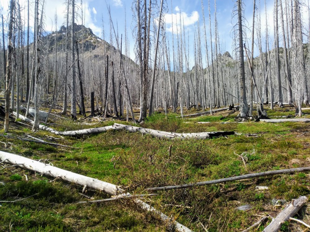
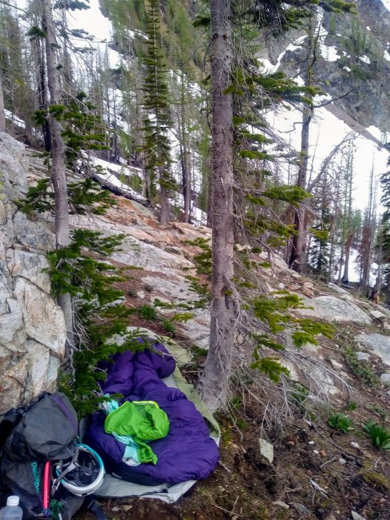
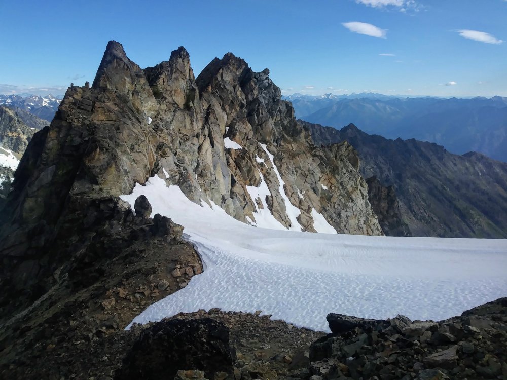
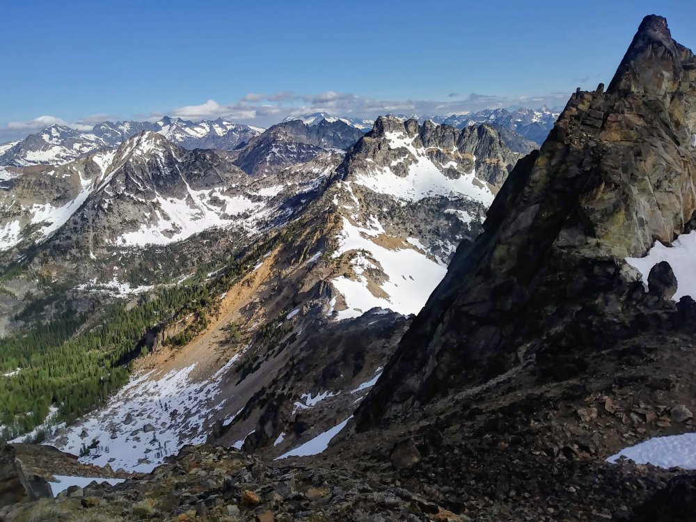
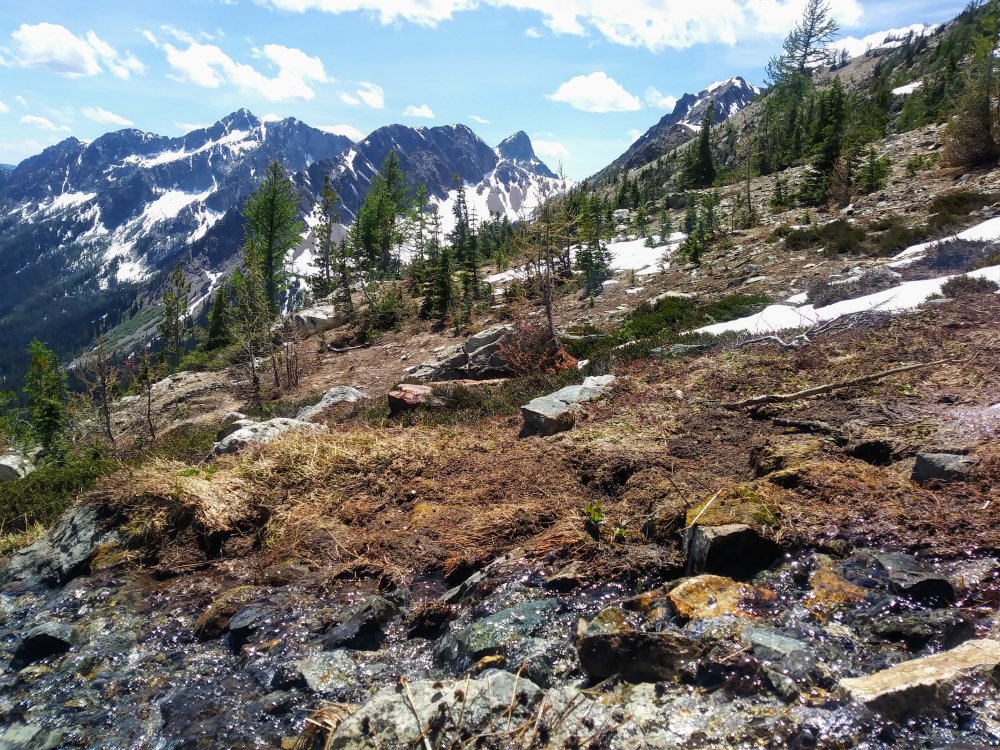
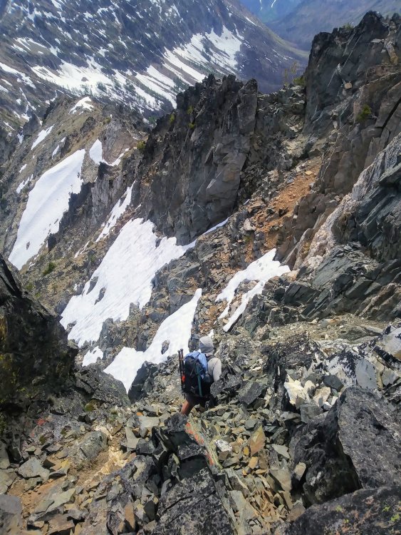
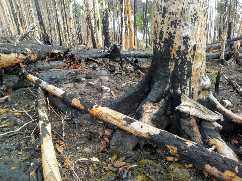
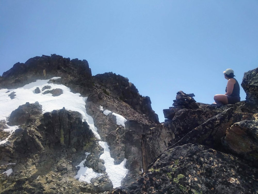
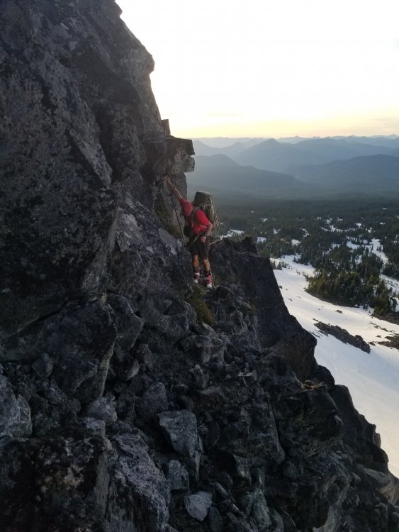
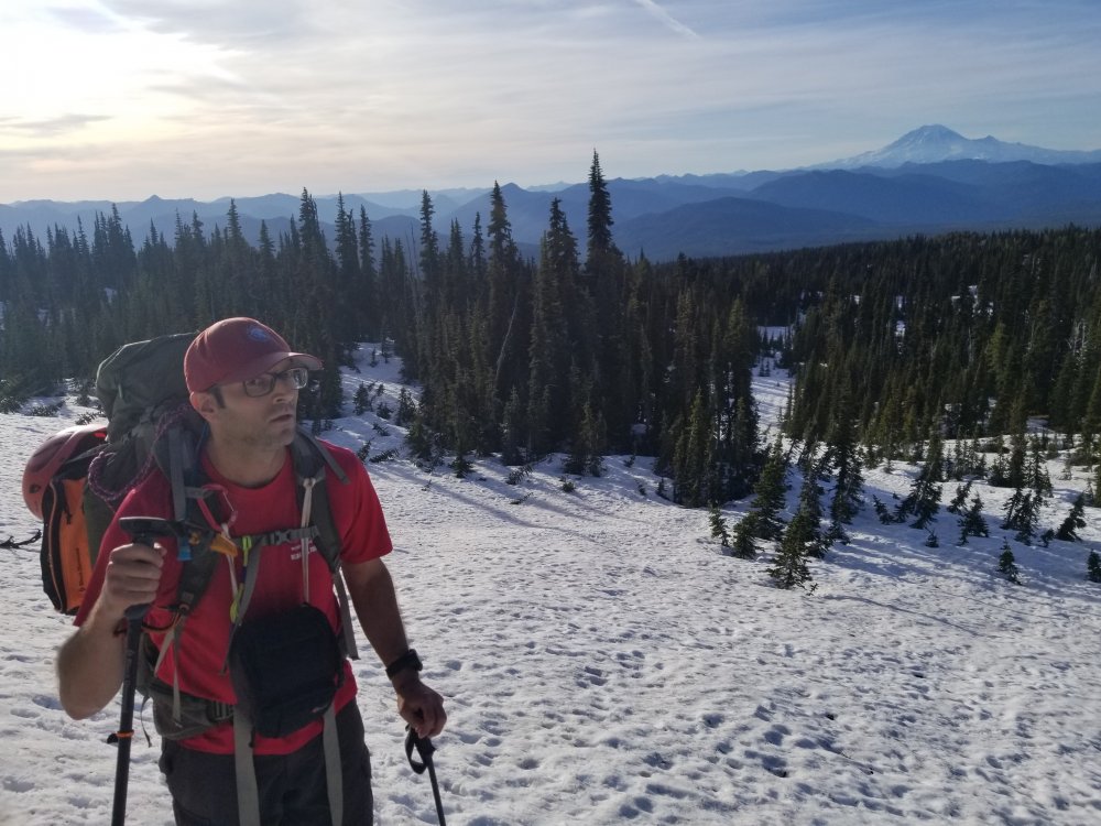
Trip: Chelan Mountains - Pinnacle, Cardinal, Emerald, Saska - 3rd class routes Trip Date: 06/13/2019 Trip Report: Tessa and I scrambled up the four tallest mountains in the Chelan Range on Wednesday and Thursday. I'm glad she's working on the Bulgers, otherwise these may not have been on my radar. The "Chelan Slam" was super fun: no rope or skis to carry, great weather, easy scrambling, snow still covering lots of the scree, lots of flowing water for drinking and shirt/hat dipping, good snow conditions for travel, amazing views, and a good amount of up and down. My summary: Pinnacle: 1 star Cardinal: 3 stars Emerald: 3 stars Saska: 0 stars We met up in Wenatchee at a park and ride a bit before 11 AM on Wednesday, and Tessa drove us up the Entiat River Road. We set off along the Entiat River and it felt like it was about a million degrees out. The turn off for Emerald Park Trail is marked by a burned up sign post. This area is neither brushy, snowy, nor emerald -- it is charred, ashy, and really frickin' hot in the sunshine. The trail is easy to follow though! We turned off this trail, away from Snowy Brushy Creek (flowing well), up toward Borealis Pass, before getting into the guts of Pinnacle. Looking up toward Borealis Pass A few marmots were spotted. I think Summit Post says it's 13 miles from the TH to Borealis Pass. We ended up going up a narrow talus/scree gully (not the beta, but it went OK other than the loose rocks...) to get up to the broad basin (snow here) on Pinnacle and then wrapped around the choss pile to get on top. Very sedimentary/slate-ish/exfoliating rock. Not much 3rd class at all. Great views of our other three objectives to the southeast. Panorama that Google Photos made me From there, we descended the proper way which was further west than where we came up, went back down over the pass, crossed the creek, then set out on the very charred/ashen landscape up toward Saska Pass. Luckily we found the somewhat difficult-to-follow burned out trail relatively quickly. The plan was to get up to the meadow camp described on Summit Post/Klenke for our bivy/setup for the next day, but daylight was going quickly and there weren't lots of great bivy spots (steepish terrain, dead but standing trees everywhere). We decided around 9:45 to stop at a slabby bench that had some tiny flat spots and was surrounded by some of the only green trees around (lots of larches in there!). I slept between a rock and a conifer, more comfortably than I expected! The moon, mostly full, was bright and the sky was full of stars.... Good enough The next morning we set off a bit before 6 AM up and over the pass (some snow, no crampons needed) to the side of the living, found the trail pretty quickly, and made quick work over to Cardinal. This North Fork basin was beautiful! Getting up to the sweet basin below Cardinal was quite straightforward, and then from the saddle over to Main Peak was easy, pretty solid rock, friction slabs, and a fun steep snow traverse with full-hilt axe plunges and solid feet. Minimal scrambling, great views everywhere! The descent included lots of fun snow running! From a bit above the saddle on Cardinal, can you spot Bonanza? We went back down to the trail, and next was Emerald. Emerald turned out to be a little more complicated (so many gullies, so many depressions between them, which one?!) but because of the minor shenanigans, we got a bonus summit (the north NORTH summit) and a few actual 4th class moves including an unexposed VB boulder problem up and out through a hole, which was fun. All that only cost us about a half hour total, and luckily it was very easy to get down and over to the correct gully and up the correct summit. Great views! Some peak identification: Bonanza, Maude, 7FJ, Goode. More fun snow running and boot skiing on the descent! Damn, that one is definitely taller.. Last was Saska, which sounded like the easiest of the group... but it also ended up being a choss pile of unimaginable proportions. UGH. Highly do not recommend. The best part of this one was that there was still a fair bit of snow on the lower third. This did not make up for the stress induced by the shitty, shitty rock everywhere on this thing. Interesting to notice about 5 different types of rock, 4 of which were really crumbly/peeling/disintegrating/etc. Pretty windy on top and we knew that we had a slow descent in front of us, so we didn't hang out long. I'm waiting for Tessa to get out of firing-line range Looking toward Saska Pass, I believe We headed back over the pass and picked up our sleeping bags/pads, I unloaded my last muffin onto Tessa, and we headed out in much cooler weather (thankfully). We played a few rounds of hanky panky, an interesting name for a pass-the-time word/rhyming game I learned going up to Bungundy Col in 2014. Tessa came up with a great one: her clue was waterfall, and the hanky panky was MOUNTAIN FOUNTAIN. Yesssss! So charred My feet were ready for the Chacos when we got back to the car at 9:45 PM. Great trip, thank you Tessa for this idea, and I highly recommend at least Cardinal at this time of year! Did you know?! You probably already did, but according to Wikipedia, the name Chelan derives from the traditional Wenatchi name Tsi-Laan meaning "deep water". Gear Notes: Brought light axes and crampons -- got out axes a couple times, never used pons. I was glad to have a helmet on Saska. Approach Notes: We took Entiat River -- you could also approach via the North Fork Entiat.2 points
-
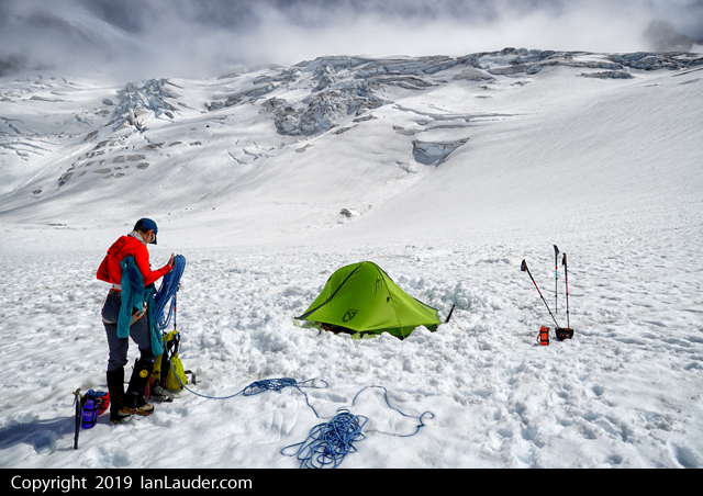
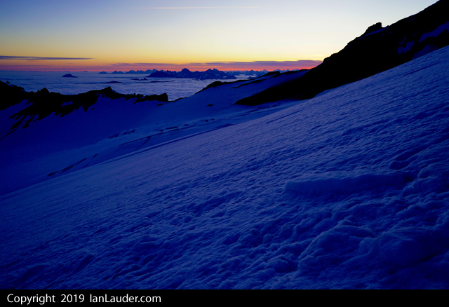
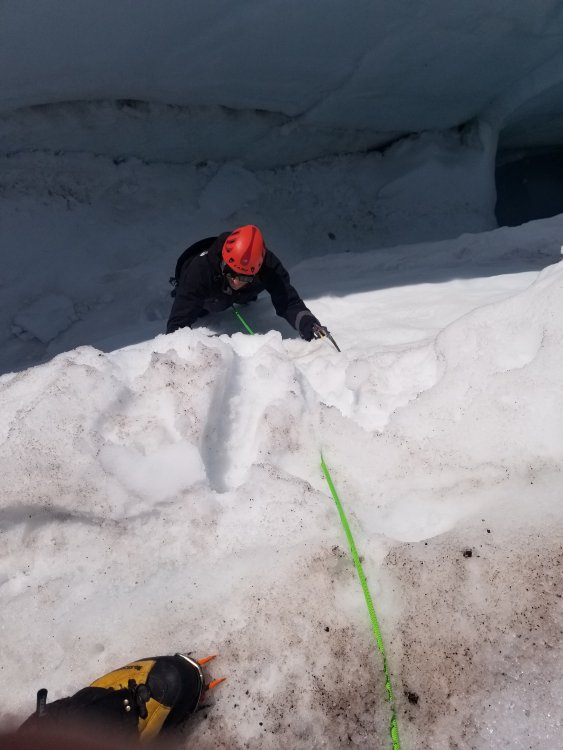
Trip: Mount Baker - North Ridge Trip Date: 06/15/2019 Trip Report: Climbed the North Ridge of Mount Baker on Saturday morning, awesome day. Hiking in we met a climber we knew who said the snow bridge across the Coleman/Deming had collapsed the night before and parties were turning around. But they saw someone who had rapped into the crevasse and walked out, so we figured one way or another we had a way down. Ran into some skiers on their way down who warned us very emphatically that the bridge was out. We were like, okay thanks. Then he repeated "its out, the bridge is OUT". Okay thanks, we got it. Got to the snowfield and found a large group of about 6 who were bailing out because they heard the Coleman was out. Okay, on we went. Got camp setup around the 6600ft football area and had the place to ourselves early afternoon. Not much in the way of tracks we could see so we hiked about another 1000ft up to the base of the ridge to log a track and make a bootpath to follow the next morning. We did start to pickup some previous bootprints around the base of the ridge. Started up around 3:30am on Saturday and got to the base of the climb around 7:30. Saw previous tracks that came up both the left and right sides of the ridge. Most went lower around the base so we took that path which worked out great. As I was leading up the ice pitch saw a pair coming up behind us. First people we saw that day. A guide and his client we leapfrogged the rest of the route with. As I was belaying up my wife another pair of climbers were getting to the base of the climb, but we never saw them again. We also saw 3 climbers much further down the ridge but never saw them again either rest of the day. Got to the summit around 10:30am. Steep in sections but there was a cruiser bootpath already there. We only had to kick back in part of the path traversing over toward the base of the climb that had melted out quite a bit. On the way back down the Coleman, as expected, people had figured out the end run and the Coleman/Deming route was just fine. Back at the trailhead ran into another group heading up for the North Ridge who had just left a car shuttle at the Easton trailhead to do a carryover because they heard the Coleman was out. Bummer they had to do that. Gear Notes: 60m rope, 3 pickets, 6 screws. Approach Notes: While the snowbridge at the end run was in (where I was standing in the pic above) and is the way across it does look like it could collapse further. And rangers are saying its the worst conditions they have seen in 25 years. Just an FYI to check your route options before you go.1 point
-
Trip: Colchuck Peak - North Butress Couloir Trip Date: 06/09/2019 Trip Report: The NBC is in fine shape right now, go get it! morning light on Colchuck Peak and Colchuck Lake: on the approach: looking up the couloir: there is one melted out rock band down low: enjoying the climb: on the upper face: summit city: goat-ville: Gear Notes: small rock rack; no ice screws necessary right now Approach Notes: trail is in good shape1 point
-
Everything is "inspired by" now. Needs more Jzaing. "Our five became six one morning when Herbert Stencil walked into camp. "I've been sleeping in ditches" he said apropos of nothing, and began eating my breakfast. Mr. Stencil is the world's oldest climber. He's been climbing so long, everyone he's ever climbed with is dead; his one claim to fame is that he once stepped in a pile of Fred Beckey's shit in an alder thicket in the Bugaboos." "1 point
-
1 point


