Leaderboard
Popular Content
Showing content with the highest reputation on 06/26/18 in all areas
-
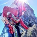
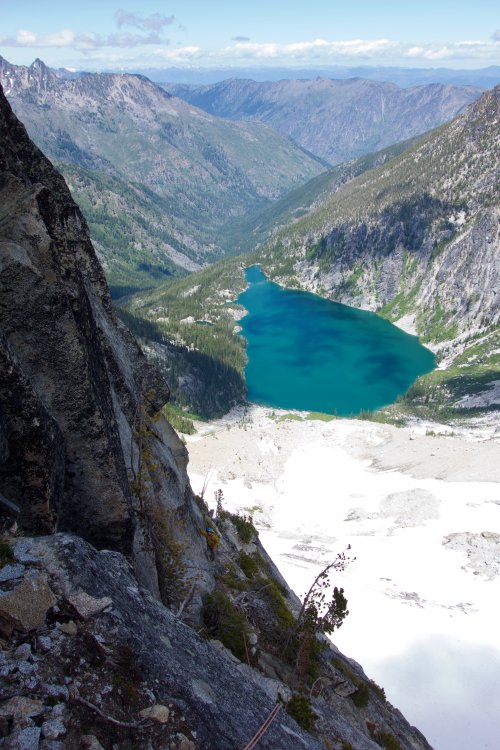
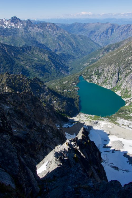
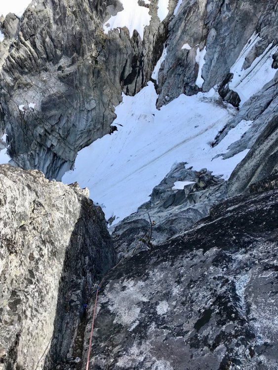
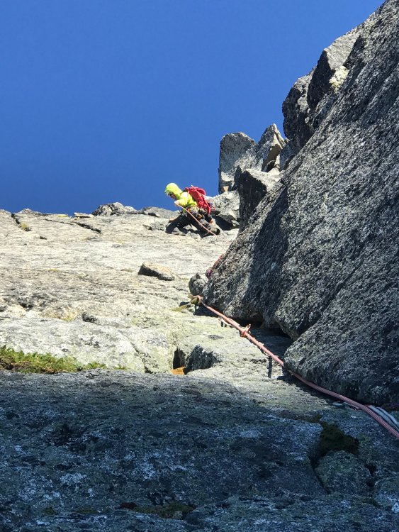
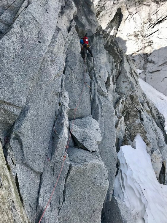
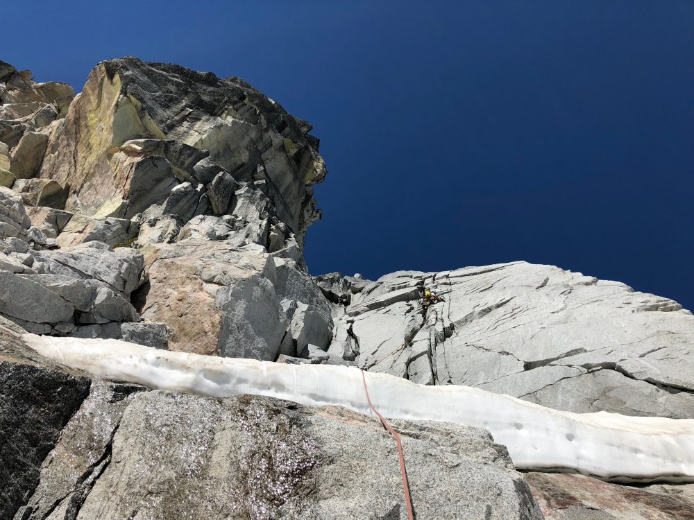
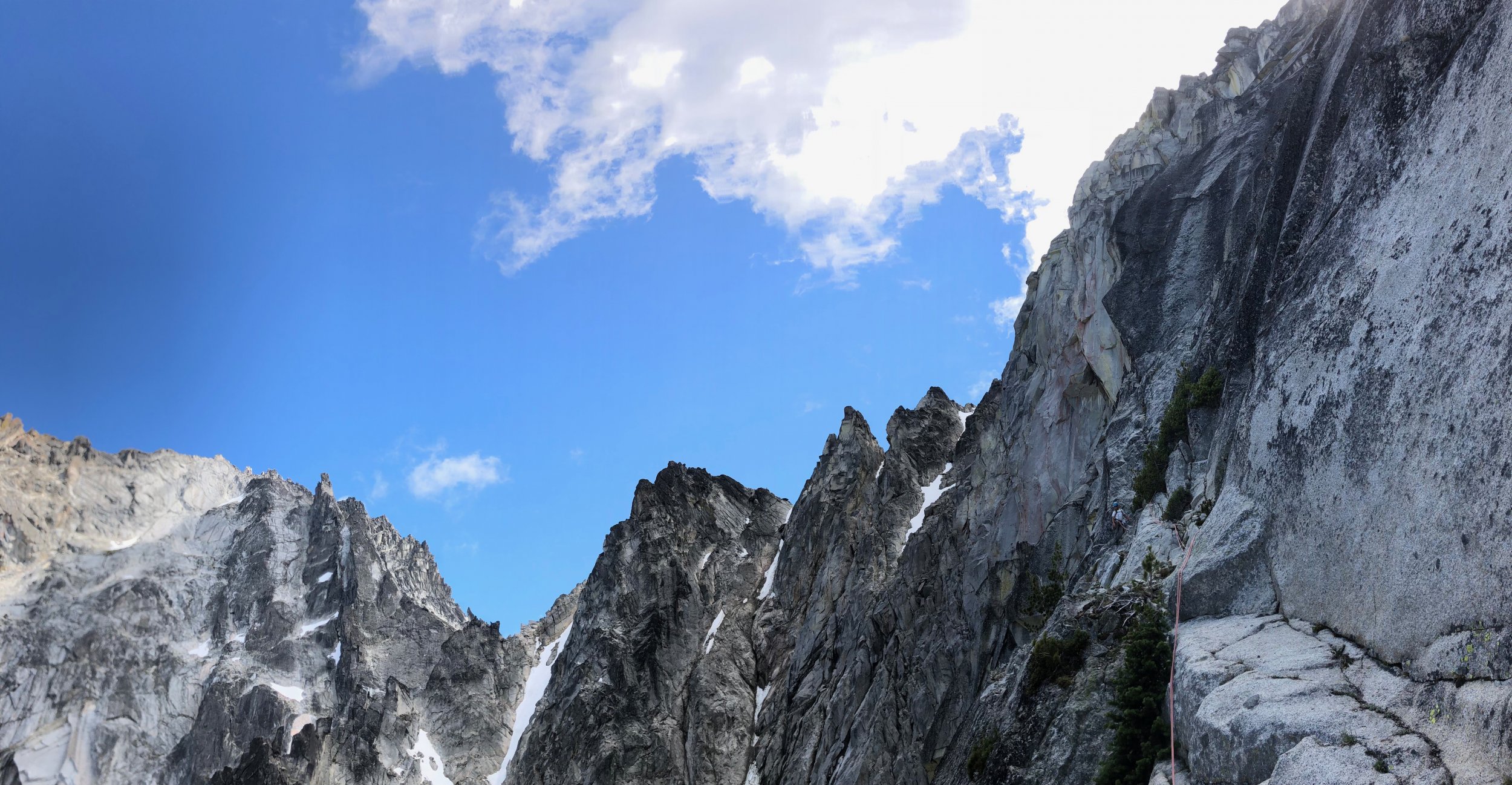
Trip: Enchantments Link-up Light - Acid Baby and Solid Gold Thru-Hike Trip Date: 06/23/2018 Trip Report: My last time up in the Enchantments I remember hiking out past Snow Creek Wall, feeling totally destroyed after climbing Der Sportsman car to car, and thinking how cool it was that the hard climbing locals can crank out big linkups in this alpine playground in a day. Inspired, my buddy Tim and I settled on a goal of getting as far as we could on a linkup we’d seen done by Jenny Abegg and Whitney Clark where they climbed Acid Baby, Solid Gold, and Iconoclast in a day. While we’re nowhere near the caliber of climbers they are, the linkup is so logical and laid out so cleanly along the thu-hike we just had to see how far we could get. The quick and dirty blow by blow: -Leave Portland after work and hit the trailhead by 11:30, alarms at 1:30 for a 2:00 start time. -Tim wakes to some unfortunate lower GI issues, no TP in the toilet, great start. -My first time on the approach from this side and in a hurry, we blast pass the turn for Colchuck Lake by almost a mile, adding nearly 2 miles to the day right off the bat. Awesome! -Arrive at the base of Acid Baby, stuff one pack into the other for the carry-over, rack up and get climbing by 5:30. - Climb Acid Baby. Great route, that’s highlighted by the spectacular and exposed position on the “summit” knife edge ridge traverse. Photos: The route, tiny me can be seen belaying P4 Dork starting Pitch 3 Tim following P3 P4 Long shot of P4. Thanks Adam for the photos! Knife edge traverse, Dragontail in the background Hero Shot -Finish around 10:30, not fast by any stretch of the imagination, but not super slow considering we were onsighting and not exactly sure what to expect. We’ll take it. -Hike up to the plateau in the Core Zone. Not sure where to go here, fearing getting cliffed out if we stay high and needing water, descend into the lake zone and what we hope is a straightforward way to Prusik Peak. It wasn’t. -Wander around the Core Zone as inefficiently as possible, down climbing slabby rock, hopping across waterfalls, and eventually hiking on snowy slopes around Perfection Lake, slogging our way up to Prusik Pass. In total this took about an hour and a half longer than what we were hoping for. (Anyone know the best way to do this!? Do we stay high? Just move better?) -Tim’s gut bug is catching up with him. He is less than psyched but marches on. -Start Solid Gold around 1:15, feels great to be climbing again! Solid Gold really is amazingly good climbing. We hit the West Ridge in 3 pitches and simul to our way to the summit by 4:00. Solid Gold P1. Linked this to just past the little boulder problem around the roof on P2 to make linking 2-3 easier. Top of Prusik, look how psyched! -Tim’s psyche returns, amazing what a little rock climbing can do, we may just be able to pull this off! We rap and rally for the long 8 mile haul to Snow Creek wall. -Fast forward 8 miles, we are hurting. I’m totally worked and Tim is stumbling and hallucinating by the time we hit Snow Creek Wall. Side note, if there is ever a true champion it’s Tim Bemrich, he pushed through some serious pain and discomfort to get us to this point and didn’t complain once. -Decide it would not be reasonably safe to try and descend off SCW in that state, so we make the prudent decision and bail on the last route. We had done what we came to do, get as far as we could. All in all a great and tiring learning experience with a great friend. We’re already excited to give something like this a go again! Thanks for reading! Gear Notes: Nuts, double rack tips to 3. Brought a 4 for P1 on Acid Baby but didn't place it all day, booo. Lots of slings. Approach Notes: Colchuck Lake2 points
-
Trip: Half Moon - North Ridge Trip Date: 06/23/2018 Trip Report: Me, Fred, and Dave climbed the north ridge of Half Moon (part of Kangaroo Ridge) on June 23. We went in knowing almost nothing: it is 5.7 and you climb up from the notch, that's it. There wasn't hardly even a reference to the route on the internet, a somewhat vague Summitpost page written about a climb many years ago (before I was born), and a short paragraph in Beckey. We made short work of the approach gully due to some steps kicked seemingly that morning... did someone else climb to the notch that day? Maybe they went down the other side to access the east side of Big Kangaroo? It was super cold and windy at the notch, I think we were all wearing pretty much everything we brought. Fred lead out on really roughly textured granite with lots of features... unfortunately most of the features turned out to be hollow flakes. Fred lead two pitches up a featured face to a large sandy bench passing two bolted rap stations (one was good, the other pretty old and manky with home made hangers). I took the next lead up what looked like a great lie back corner but turned out to be decomposed granite with crystals popping out and hollow flakes. I placed a few pieces for about 40' then the pro and rock quality deteriorated and it felt safer to just run it out. At the top was a large semi-detached flake/pinnacle about body sized or larger that I had to put my entire body on at one point... I was pretty glad it held, and a bit surprised honestly. I thought it was fun but I don't know that my partners shared my enthusiasm for this part. At least it got me warmed up after the cold belay at the notch! We walked left on a sandy bench for about a rope length then I lead up again basically straight up the arete. The rock was better here and the climbing easier. One lead got me on to walking terrain; I belayed my partners up and we scrambled another rope length to the summit. The summit was nice and flat, large, sunny, calm, warm. Beautiful. We laid around for about 45 min cloud-bathing and trying to identify peaks in the low ceiling to the west. Then we rapped and downclimbed the route. We had double ropes for climbing with three so we did a couple of double rope rappels. You could do the route with a single 60m but we wanted to avoid rapping off the crappy old bolts. We did remove and replace a lot of old webbing so aside from the old bolts the raps should be pretty good. This has become a bit of a thing for me lately, there is so much trash laying around the mountains in the form of rap tat. If you add a piece, please take one home with you as well. On the ascent in the valley: Easy snow travel: Looking back on descent, the route is more or less the skyline: Dave about to wipe out while boot skiing: Sorry I didn't get any pics while on route, I'm trying to get better about that. Gear Notes: single rack to 3" aluminum axe for the ascent, not really needed but habbit Approach Notes: Easy due to snow on the slope, will be crappier later as it melts and turns to loose scree.1 point
-
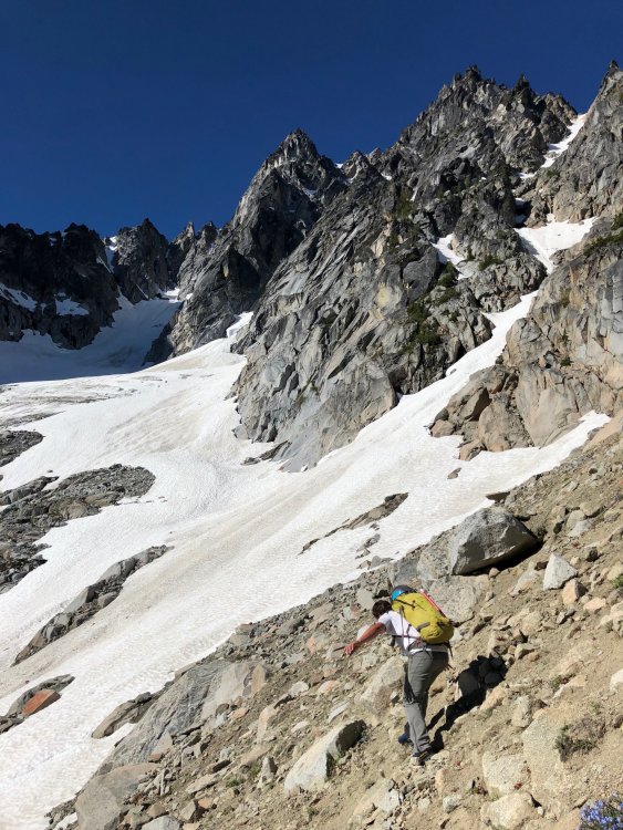
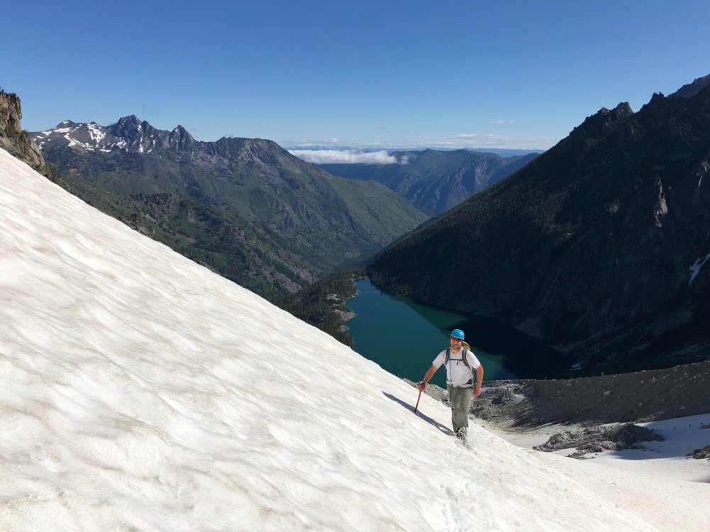
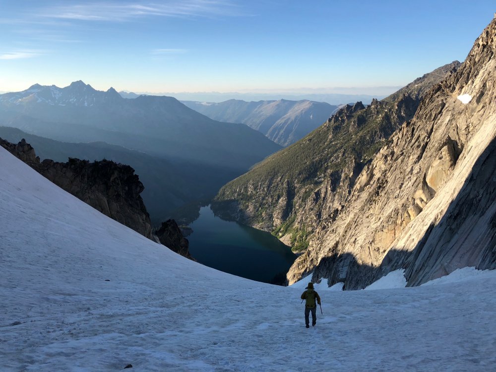
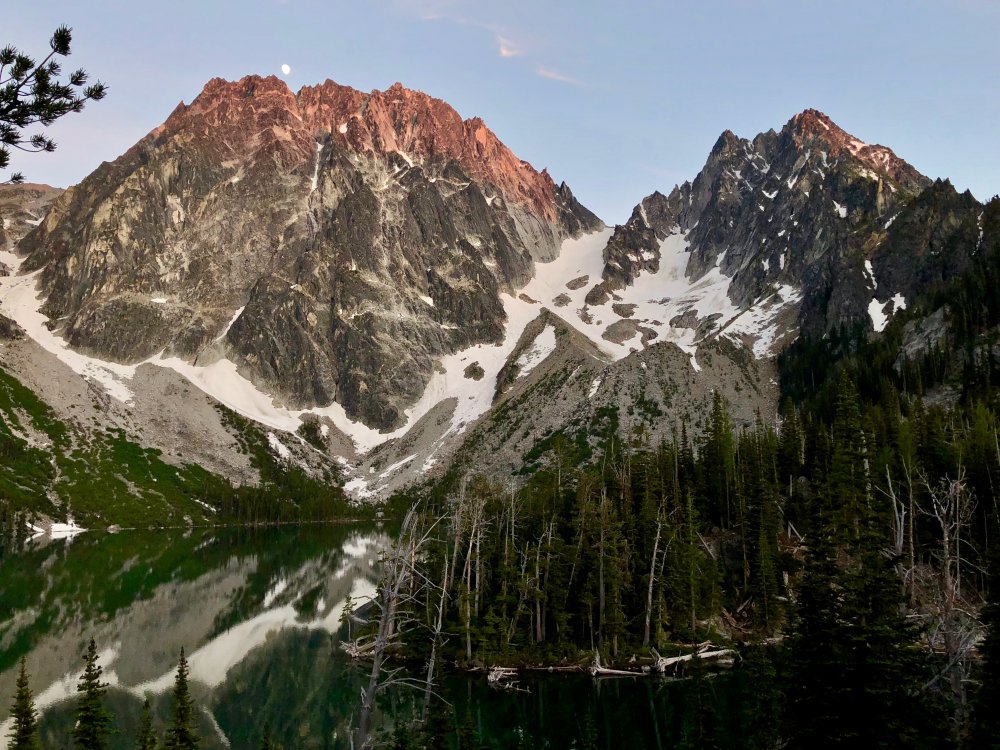
Trip: Colchuck Peak - NE Buttress (Kearney) Trip Date: 06/23/2018 Trip Report: A few years ago when I got Alan Kearney's Classic Climbs of the Northwest guidebook, I was a bit surprised to see an unfamiliar route on a familiar peak—the Northeast Buttress on Colchuck Peak made Kearney's short list of 51 routes, so it had to be good but I hadn't heard much about it. A bit of searching on Cascade Climbers yielded a mixed bag, especially when considering the original Beckey line. In either case, the route went onto my list. Adam and I had talked about climbing together many times before, but it hadn't yet come together. He reached out early this week and we hatched a plan to car-to-car the NE Buttress (Kearney version) on Saturday. We drove out to the Stuart Lake Trailhead late on Friday night and got a little sleep there with alarms set for 5am—we were guessing that we could do the route in about 14 hours, but also knew we had a lot of daylight in case things weren't so fast. We started the approach just before 6am and went pretty fast. 2 hours in, we were on the far side of the lake on our way up the moraine. A little shy of 3.5 hours at 9:15am had us at the base of the ridge after enjoying continuous snow from the moraine up. We each had strap-on crampons on our approach shoes and light axes. The approach After consulting the beta a little, we located the first pitch of Kearney's start and racked up below it at the toe of the buttress. We'd brought rock shoes and a rack to 3 with doubles of .5 through 2. Adam took the first pitch at 10am and had a great time on the wide, broken crack on solid rock after traversing around some snow on sandy terrain to get there. I then did a very short pitch to the top of the crest. From there, it looked like the line might go lower later in the season, but the couloir snow convinced me to stay on a ramp system just a bit higher. After down-climbing a little from the crest, I traversed over and made a fun, steep move to get onto more solid granite which I ran right, then up a seam, and then back left to a ledge for the belay. Pitch 1 and Pitch 3 Pitch 4 turned out to be a bit of a low point. Adam set off and quickly encountered some moss and dirt on his traverse to the main dihedral. Sections of the pitch were really fun while others had a bit too much dirt and loose gravel. We knew we were on the right track, though, due to a couple of fixed pins we passed along the way. It took quite a while for Adam to find the way and stay safe on this pitch and it was 1:30pm before both of us were on top. The ledges We switched to approach shoes and doubled our rope in half for the ledge systems. I headed across and found that the rock quality and number of trees in the way reduced after the first pitch or so. It was actually pretty fun to move fast and link 3-4 pitches in one block. On a nice ledge before the route turned up the wall, we put our rock shoes back on and tied into each end of the rope. Adam did a quick bump of our belay to the base of the crux pitch and then set off. With our 70m rope and about 15 feet of me simul-climbing at the end, he was able to reach the ridge crest, linking pitches 9 and 10. I followed the pitch and had a great time—the rock was solid and the movement was varied and interesting. It meandered left before traversing back right and then into a left-facing corner all the way to the ridge. We were both on top of the crest at 4:30pm. Looking down the crux pitches, the buttress crest, and the final pitch Back in approach shoes, I linked pitches 11 and 12, getting us up the buttress crest and onto some ledges below the headwall. Views back to the belay on the ridge crest and Colchuck Lake were stellar. Adam bumped us up to the headwall and, after a few minutes of searching, we found a rightward traverse under big blocks for 80 feet or so on ledges to the North-facing dihedral that would bring us to the top. I took this pitch, having a ton of fun in the early evening sun and finding edges and gear anywhere I wanted them. I ran out of rope and gear just below the top and Adam headed through and brought me up. One loose block that had seemed solid when I banged on it with my hand decided to go as I mantled to the top and I had to jump out of the way, spraining my ankle a little trying to land on a foothold—thankfully the rock sailed right by me. We topped out a little after 7pm for about 9 hours on the route—a bit longer than we'd expected, but we hadn't been rushing and instead had been feeling pretty casual throughout. We started down by 7:30pm on dirt and rock to the col and then continuous snow down the glacier (skier's right fork) until a few hundred feet from the trail. It was 8:45pm when we got to the corner of the lake at the end of the boulder field. We only stopped once on the way out to numb ourselves a bit with bourbon and take in the sunset hitting Dragontail and Colchuck. We were at the car a little after 10:30pm for a little less than 17 hours on the day. While there were a few moments on the route where dirt, moss, lichen, and loose rock detracted, so much of the route was good climbing on good rock with a great position and view. We agreed that it was more interesting and sustained than the Serpentine Arete on Dragontail (which did not make the Kearney guide...). This TR on my site: https://www.jeffreyjhebert.com/adventures/ne-buttress-on-colchuck-peak Gear Notes: Single rack to 3 with doubles .5 to 2 worked well for us to do link pitches and simul-climb Approach Notes: Approach shoes, strap-on crampons, and light axes were fine1 point
-
Trip: Mount Rainier - Kautz Trip Date: 06/24/2018 Trip Report: 2-day Carryover on the Kautz to the DC Cleaver. We started out gathering as much beta as possible but still had some gaps such as where exactly to find the fixed lines. Turns out one blog had it at the wrong elevation and no others described exactly where to find it. Some beta mentioned people retreating the ice steps because they found no viable way to the summit in the week before. Finally found someone who had a gps track from a guide who did it the week before so as long as weather cooperated we were good to go. The biggest planning challenge was getting our normal 45lb overnight glacier packs down to 35lbs. After buying new BD Speed 40 packs and our new hyperlight tarp shell, aluminum ice screws and a new light 60m rope, along with cutting all the creature comforts we got our pack weights where we wanted for a carryover. Drove to Longmire on Friday to pickup our permit early and stayed in Ashford. On Sat morning we were on the trail by 7am in overcast light drizzle which soon burned off. Weather showed we had a tight window between then and Sunday evening when a cold front and high winds were to move in. 7 hours later after crossing the Nisqually, going up the Fan arrived at 2pm at the lower Camp Hazard at 10,800 and found ourselves the only ones up there with the nice rock rings to ourselves. Soon after another pair, dad & daughter, joined us. Not bad only 5 people and 2 parties for the route the next morning. The Dad had tried it the same weekend before and recounted not getting any further than this point after having been blown out by 50mph winds. But at least he knew where to find the fixed lines. From the 10,800 rock rings just walk about 450ft up the scree where a climbers trail takes you right to them. He was an ice climber who lived in Ouray so we figured living at altitude and being a hard core ice climber with a party of 2 they would be fast. We discussed leaving times, we said we would be up at 1:30 and leaving hopefully by 2:30. They were planning on getting up at 3am, but they wanted to get through the climb first and asked if they could go ahead of us. No problem we said. Knowing the route was a wide chute and could accommodate multiple parties at the same time anyway. But he seemed to be thinking it was a standard ice route with only one way up. So we get up at 1:30 and are moving at 2:30 with Dad & Daughter not quite ready yet, but they catch up to us a few hundred feet later at the rock step and we let them go first since they wanted to downclimb it. Dad was making comments to himself and Daughter about how you don’t ice climb in the dark. Well, Dad, nobody made you getup early, you changed your start time to be in front of us And we had no plans to climb the ice in the dark either. Figured they would be a bit with him coaching his daughter down we just set up our rope to rap down as we padded our start time to accommodate taking time find and rapping the rock step in the dark. Which was a good idea since it wasn’t a rock scramble it was a big chuck of ice. And turns out one of the 2 handlines just drops into a free hanging drop down to a steep ice slope you have to climb back up. The rock step down, we climbed up and out to find the traverse. It was still pretty dark, just able to make out features in the distance by a hint of moonlight. But we could see Dad and Daughter who had charged straight up into a rock band with a seracs above them. All we could see was Dads headlamp flashing all over the place, as Daughters headlamp looked at him, back at us, back to him, back to us, back to him, back to us. Well, guess Dad didn’t read the route description or he was looking to put up a new route. So we continued traversing far left around the seracs to the base of the first ice step. It was easy enough climbing we wound up just soloing through it. By now we were just getting enough light to turn off headlamps and had timed it just right. Apparently Dad finally downclimbed from the rock band and followed us around to the ice step. After we soloed the first step I look over and here comes Dad with an ice axe in one hand a ski pole in the other pulling Daughter up behind him. As Daughter passes with her hand wrapped around the base of her ski pole trying to get a good stick in the ice with the tip and her ice axe flopped sideways she yells “Dad – I’m not as comfortable on the technical stuff as you – slow down”. Dad yells back “This is not technical”. And off they went. Now that we had the route to ourselves we set up our plan which was to get Philip credit for an intermediate ice climb splitting it into a multi-pitch with a lead swap. So I setup a picket anchor, and with our single 60m rope split it in half. Philip lead up the 30m placing some pro and building an ice screw and picket anchor then belayed us up. From there we figured it would take at least 2 or maybe 3 more short pitches like that so we opted to switch to simul climbing for the rest of it. I took off with the rest of the pickets and ice screws and placed a couple pickets, then a few screws and finally topped out at the 12,000ft mark placing the final picket. From there we soon were in the sun and it wasn’t too difficult route finding working our way around crevasses. Up to Wapowety Cleaver at 13,100, then up to the left around the seracs which put us out on the side of the Saddle at 14,000 then to the summit rim at 14,400 about 11:30am. By now only skiers were hanging out on the crater rim waiting for snow to soften up on the Emmons. All the climbers had long left the summit to get down before things starting softening up and potential rockfall and slides. So we had the DC Cleaver route all to ourselves as well. Snow was getting soft on the way down and there were some rock fall areas that had a lot of recent slide and rock through them throughout the day that we moved through quickly. Made it back to Paradise just an hour and a half past our estimate (which was pretty much a wash because we had stopped to relax at Camp Muir for almost an hour). Kautz-6-24-2018.gpx Gear Notes: single 60m 7.5 rope, standard glacier gear, 1 technical tool (bd venom) and 1 ice tool each, 6 screws (only used 4), 4 pickets. Approach Notes: Easy crossing of the Nisqually, up the Fan, running water at the Upper Castle. Also found a trickle of running water a couple hundred feet up from 10,800 Camp Hazard. The Rock Step is covered in block of ice. 1st Ice Step is more of a walk up, 2nd Ice Step had a good pitch of ice that we used a few screws on.1 point
-
Trip: Wine Spires - Silver Star and Chablis Spire Trip Date: 06/23/2018 Trip Report: My roommate and I had been looking to get into the North Cascades for a while but hadn’t been able to put a trip together. We finally got the chance this last weekend and drove from Portland up to Mazama on Thursday night. We got warmed up on the Liberty Bell and Concord Tower on Friday and decided that we wanted to camp somewhere high and pretty Saturday night. After a lot of back and forth, we decided to camp up near the Wine Spires and climb Chablis Spire. We started around noon on Saturday and make the trek up to the Burgandy Col. It took about three hours from the car to the camp, so we dropped our stuff and went over to Silver Star Mountain. View of the Liberty Bell group Not a bad campsite. There was still snow up on the east side of Burgandy Col, but it was pretty soft and made for easy going over to the Silver Star glacier. We didn’t know too much about the glacier, so we decided to rope up, which probably wasn’t necessary. Made it up to the top of the glacier and had a nice view into the Cascades. Snagtooth Ridge from the Glacier We opted out of the scramble to the true summit and turned around and headed back towards camp. We made some dinner and enjoyed a beautiful sunset and the view. You can see Glacier Peak hanging out in the distance. A few goats also decided that they liked the col campsite, and kept us company throughout the night. Not too early of a start and we headed down to the base of the Chablis Spire. There were a few cracks open on the snowfield below the base, so we roped up again and headed up the snow to the base of the route. The detached block is center left of this photo. The snow was still fairly high, so the “handrail” at the base of the route was still covered, so we started at a hand ramp up to the detached block. After an airy step-around (very awkward) and a cool short finger crack we headed up three pitches of wandering easy climbing. There’s a short unprotectable slab in the middle of the second pitch, to which Carmen managed to find a 5.11 finger crack variation. The last pitch ends at the notch between the bunny ears summits, and we climbed up to the true summit still roped up. It turns out there’s some rap anchors right at the summit, so we were able to rap off the top, which was nice. Looking down from the last pitch. Obligatory awkward summit selfie. 5 wandery 60 m raps brought us back to the snow. We headed up to the col, grabbed our overnight gear, and suffered through the long descent back to the car. After a quick hop in the Methow River and a burger and a beer in town, we made the haul back to Portland. Gear Notes: Single rack to 4, 60m rope, glacier gear Approach Notes: Park at the mile marker 166, find a log to cross the river, and then hike the well worn path to Burgandy Col.1 point
-
Trip: Mount Baker - North Ridge Trip Date: 06/22/2018 Trip Report: We started off on a bad note with Robie arriving at the Park n Ride 45 minutes late. Sean had just returned from a leisurely trip to Italy the day before. I haven't slept for more than 4 hours since my baby was born 2 months ago. We were all exhausted, and we hadn't even started. And yet, spirits were high. It was both Robie and Sean's first time on Baker and I had only done the standard route. Quickly we ran into some hairy creek crossings in the dark. Water was running hard. It had been 90 degrees in Seattle this week so lot's of melt to be expected. With skis on our back, 45 lbs each, the approach was tough. I had worn ultralight running shoes, and only brought one pair of socks. Well, they were soaked. Robie reassured me our feet were going to be wet all day anyways. We quickly rose above treeline, above the Heliotrope campground where we saw maybe 10 tent groups, slowly waking up. As we got onto the Coleman Glacier we could spot a group of 2 above us traversing towards the same route. The North Ridge, looking rather mellow from this perspective. The sun was rising, the sky was turning colors, Mt Baker was showing her face, we were on route and feeling good. And then we were on route. We thought we were going to follow an older bootpack up left but as we neared it, it looked cumbersome and out of the way, so we opted for a more direct route towards the other 2 parties ahead of us. Collective exhaustion was super high as we were running on 36 hours of no sleep (expect Sean had a 3 hr nap). We took a break below the ice pitch and made Ramen. A bit of back and forth and Robie agreed to lead the ice pitch. It looked steeper than the photos we had seen. After some solid sticks, we realized it was Hero Ice! We had 7 screws, so Robie went for it in one pitch. Baller. Then it was Sean's turn. Then I snagged this photo, which I really like. It captures the moment. Sea of clouds, North Cascades poking in the distance, sunshine, glory, hero ice, stoke was very high. Above the ice pitch we got into some mixed conditions. It was my turn to lead and it felt like about a foot of wet snow ontop of a delaminating shield of ice. If I smacked hard enough I could get to the ice for a screw, or if I hammered the shit out of picket it would go in. 50 meters each, Robie and I swapping leads up the upper ridge. This upper ridge section was glorious, for a moment at least. Team exhaustion/fitness was waning and we were moving slower and slower with each passing step. The sun was raging, our skin was burning, wind was picking up, and the day was passing. Then the white out came. Heavy winds, colder temps, all of the layers on. I couldn't see Robie, one step at a time. Unsure what time it was, or how long we had been on route, and wondering how we were going to ski down and get back to Seattle. Occasionally the clouds would move and the glacier's would appear. Like monsters with no rhyme or reason they tower above the world. And then we summited. Pure alpine joy. Now an 8000 ft ski descent. The ski down was quick and efficient. We got back to the main trail and cruised out to the parking lot just by dark. 10pm. 20 hour go. What a fabulous day. Found pizza in Belligham, pulled off the highway for an hour nap on the drive home but made it back to Seattle at 3am. What an alpine adventure! Gear Notes: 7 screws, 3 pickets Approach Notes: Good shape1 point
-
1 point
-
Trip: Sherpa Peak - West Ridge Trip Date: 06/24/2018 Trip Report: Almost nine years ago I climbed this route. However I found it unsatisfying for a few reasons: we struggled with routefinding, I did not actually stand on the summit, forgoing the latter half of the final exposed scramble to the summit, and we got back to the car at midnight despite starting early in the morning. I had unfinished business here, and it's finally been attended. Moreover, two of three of my previous experience's downsides were remedied this time around. We started up the trail at 9 am on Saturday. There were no real difficulties in the approach, and we took 7 hours to get to the camp at 7400'. I was quite pleased with this time which was faster than before, and considering my advanced years and being at death's door. Here we ran into a party of two that I actually knew and we coordinated our start times. Later we observed a party of three coming down from the top of the Sherpa Glacier. One member of that party was clearly fatigued and not doing well on descent. They approached our camp near 8 pm and bivied close by. We chatted with them: they also planned to summit the W ridge of Sherpa. We told them our plans to head up around 4 am. I heard them leaving the next day at 3:15 am - and we never really overlapped or had trouble. Thanks to whomever that party was! We got up at 4 am and headed up. We managed to stay on route the whole way up and everything went smoothly. The coordination with the other party made us effectively 3 teams of 2, and we shared a fixed line on the top and rappels all the way down to camp. All in all it was an 11 hour day camp to summit to camp. Unfortunately one party member struggled on the offtrail parts of the descent and it took us 7 more hours to hike out, and we arrived at the cars (and beer) and midnight. Well 2/3 ain't bad, and I'm calling this MISSION ACCOMPLISHED. It is worth noting that while rappeling (around 2:30 pm or so in the afternoon) we noted a helicopter circling the false summit of Mount Stuart. Apparently there was a fatal accident there. That was a bit of a downer. Other than that the trip was quite enjoyable. Now, pics. Mount Stuart money shot from Longs Pass: Climber's trail turnoff at Beverly junction: Water break on the traverse into the lower basin at 5800': Sherpa from the lower basin: The prominent waterfall below the upper basin: Perspective on the sweat equity we built on this approach: Cozy campsite on the flat rock: Full front views of the false summit of Stuart were in our face all day: Sherpa's impressive SW face: Old Geezer on the summit: Gear Notes: Small alpine rack, ice axe, crampons Approach Notes: Standard Cascades Approach1 point


