danhelmstadter
-
Posts
404 -
Joined
-
Last visited
Everything posted by danhelmstadter
-
[TR] sews - sw rib - rope solo 8/12/2011
danhelmstadter replied to danhelmstadter's topic in Rock Climbing Forum
yeah, used mini-traxis for the top rope part. -
[TR] sews - sw rib - rope solo 8/12/2011
danhelmstadter replied to danhelmstadter's topic in Rock Climbing Forum
The way I did it was to build an anchor at the bottom of the first pitch, lead it, build anchor at the top, rap down on single strand, dissasemble bottom anchor, then climb up single strand on top rope, and repeat. I think there are other methods as you suggest. -
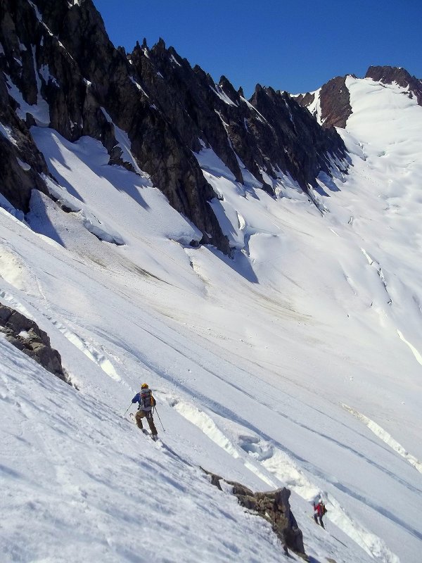
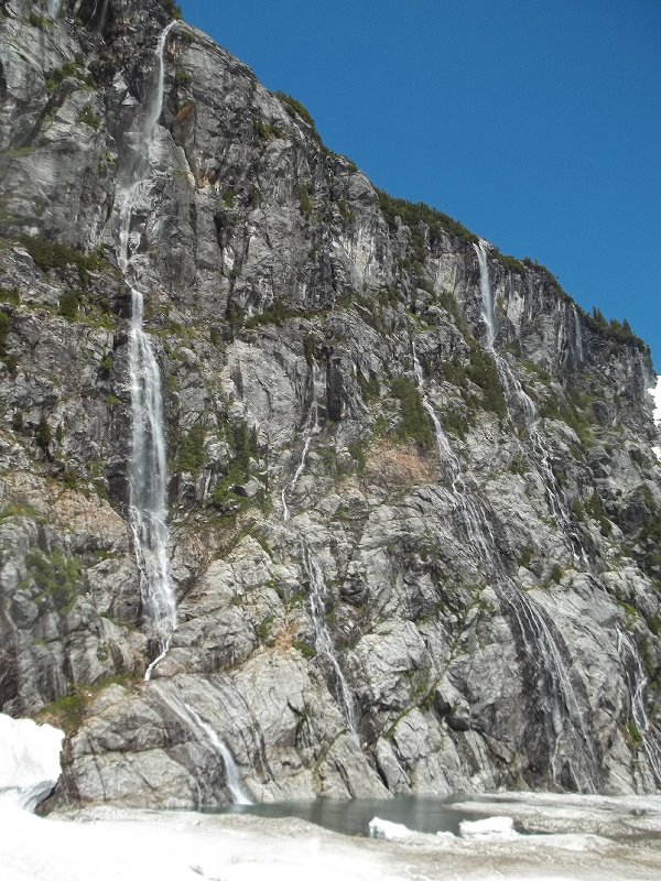
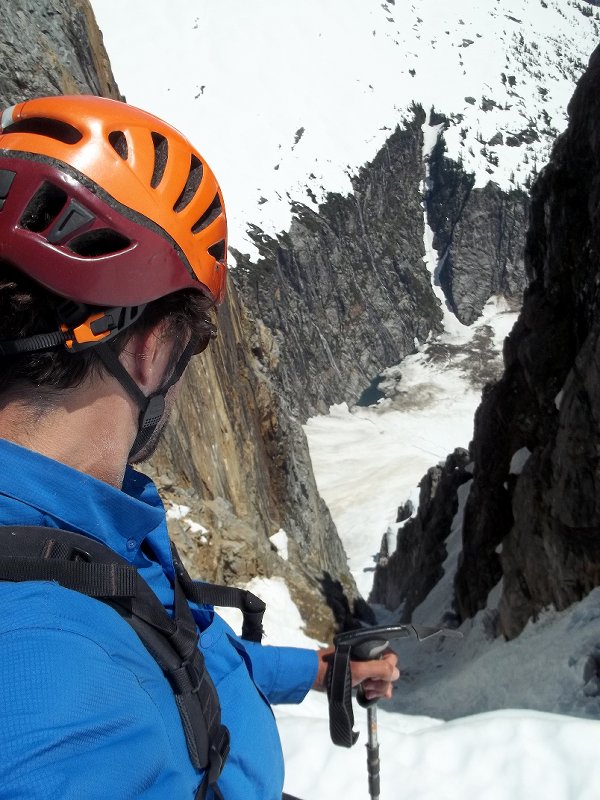
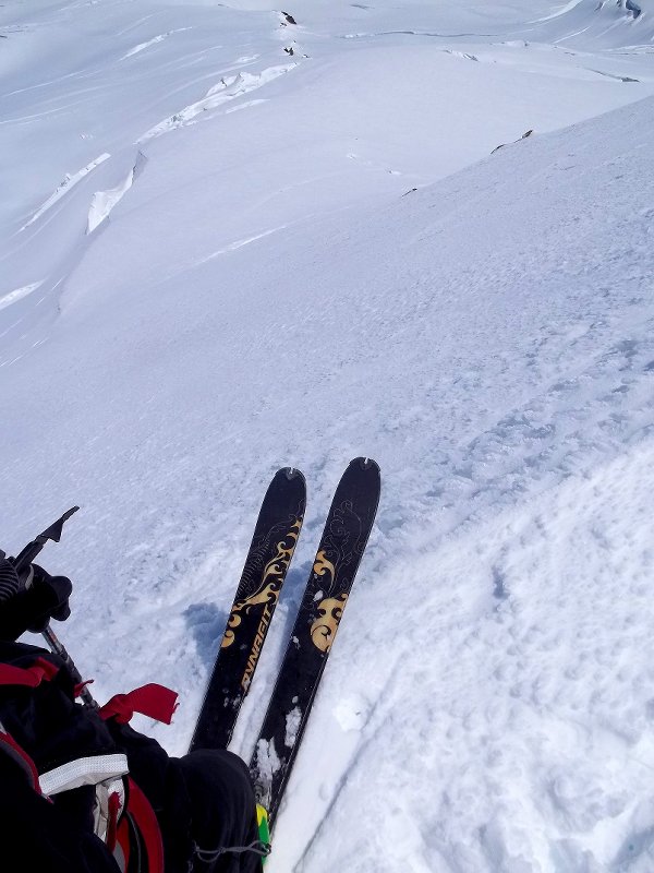
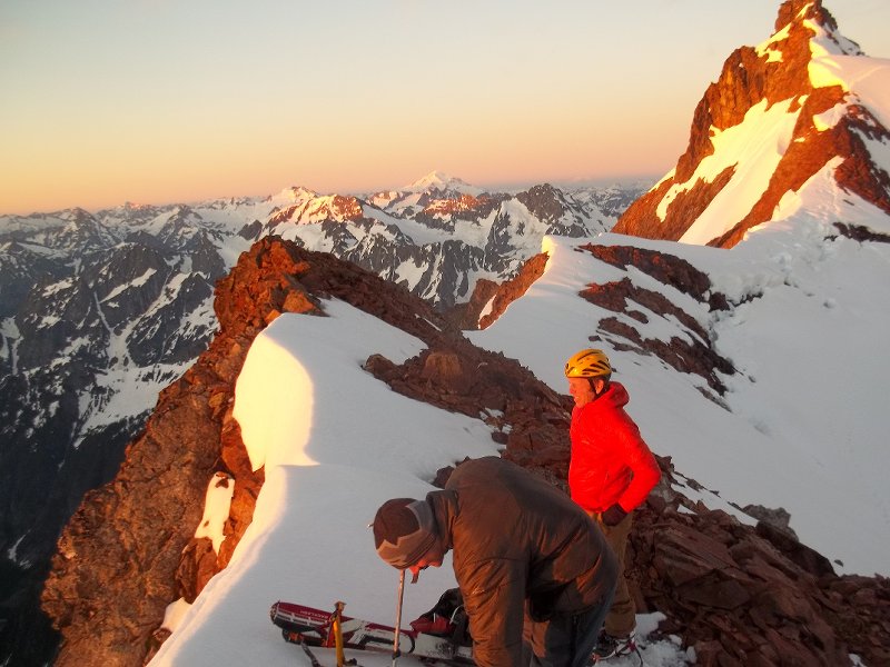
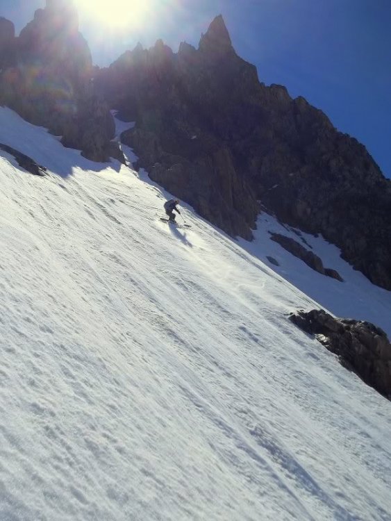
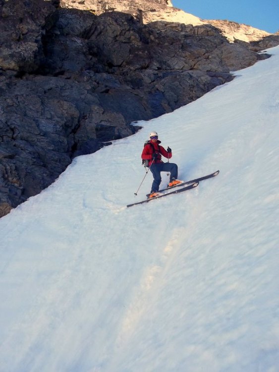
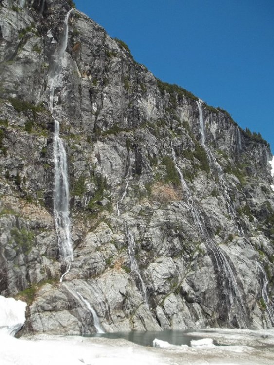
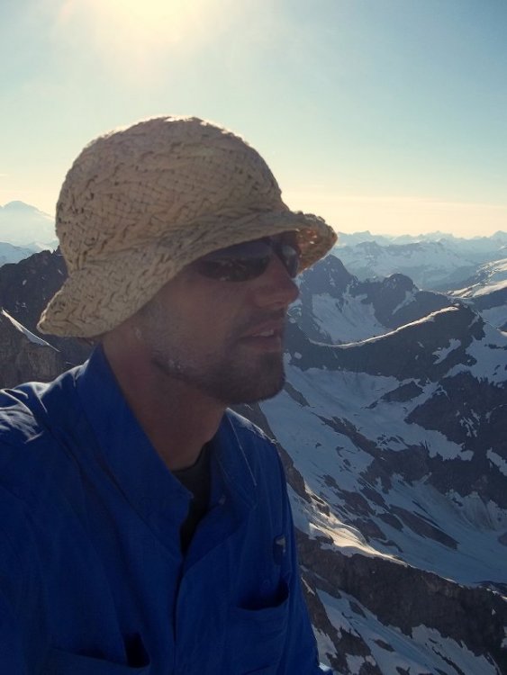
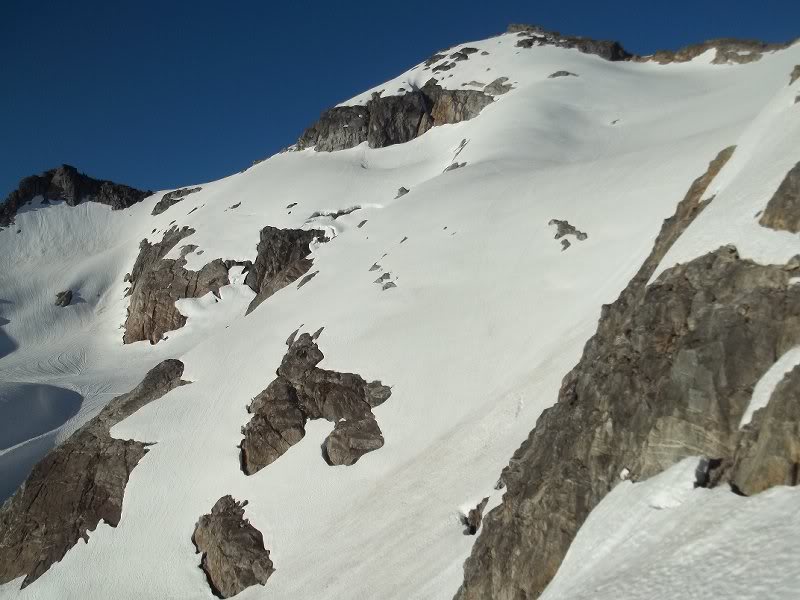
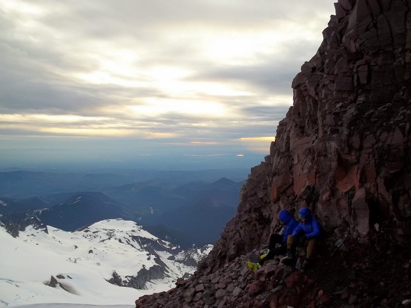
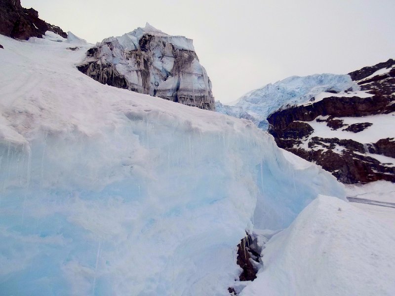
Trip: sews - sw rib - rope solo Date: 8/12/2011 Trip Report: I left the TH with a tinge of apprehension, since I hadn't taken my silent partner on a multi pitch or trad outing yet. I took the west face start, and linked the first two pitches - the silver lining of rope solo is that there is no rope drag issues. As I moved higher, I gained confidence in the system, difficult rope feed through the SP proved a nuisance only sometimes, mostly on lower angle terrain. The run out "bear hug" pitch that I had feared was easy, I did another pitch above that then climbed the final pitch unroped (the traverse around the block near the top was spicy). All and all I was able to do it in 5 roped pitches, each pitch I rapped once and climbed twice, a note to self for next time will be to bring more water and leave earlier. flowers at the base of "the bear hug"
-
[TR] Forbidden - W and NW ridges 8/9/2011
danhelmstadter replied to Val Zephyr's topic in North Cascades
awesome! amazing pictures. -
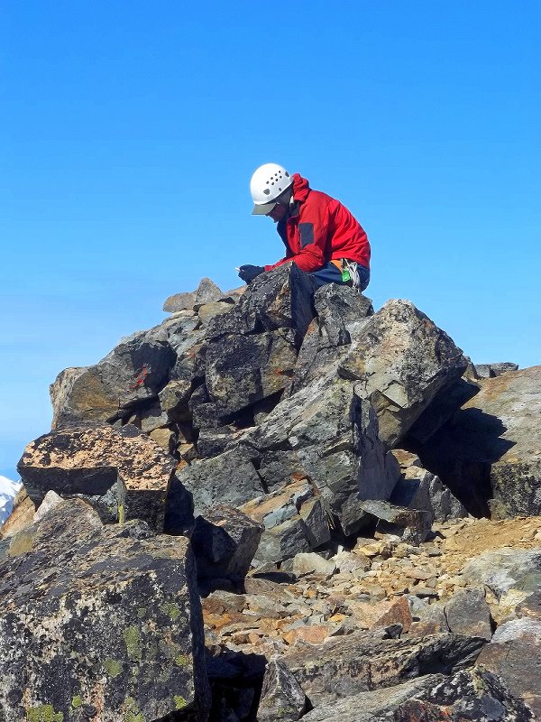
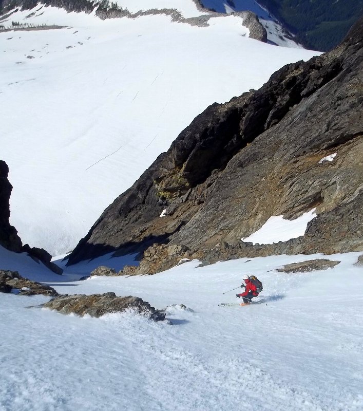
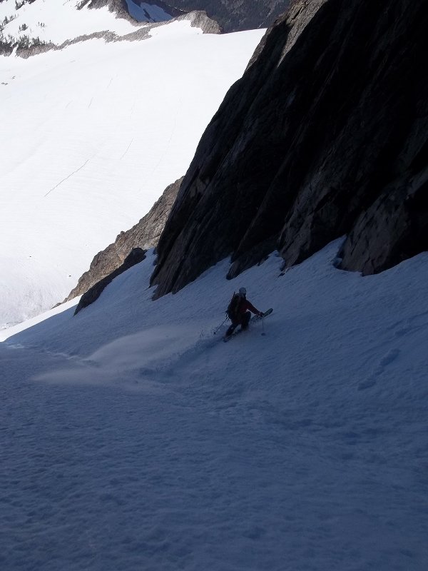
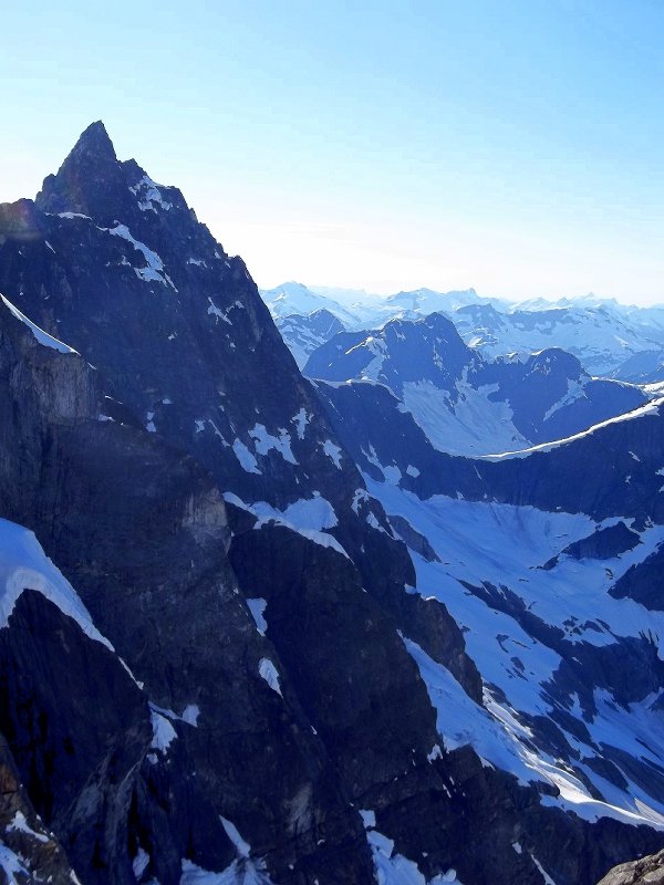
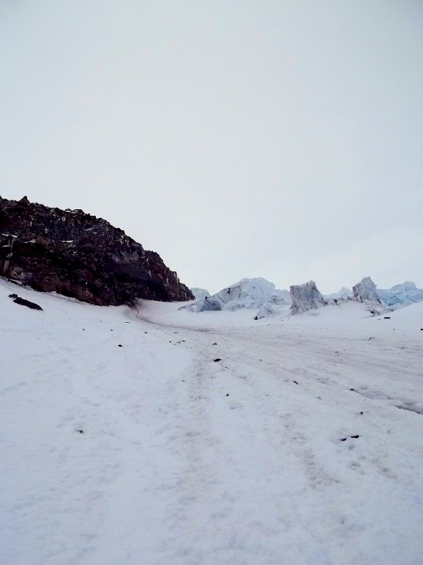
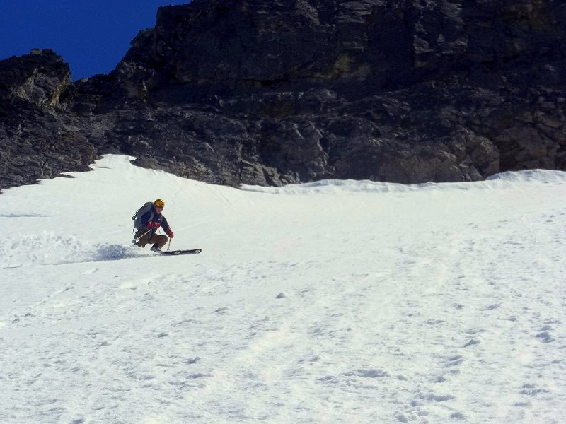
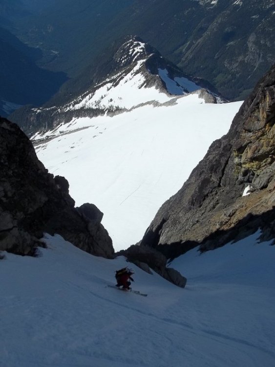
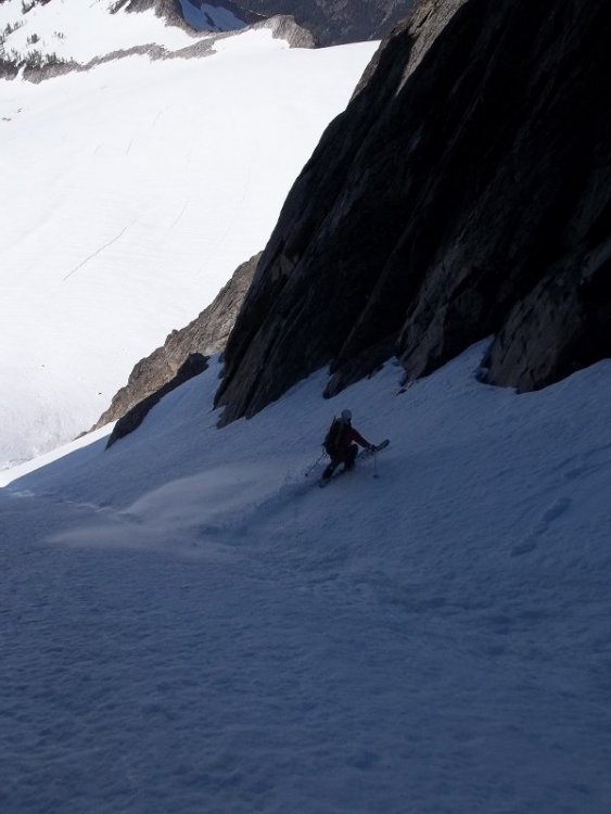
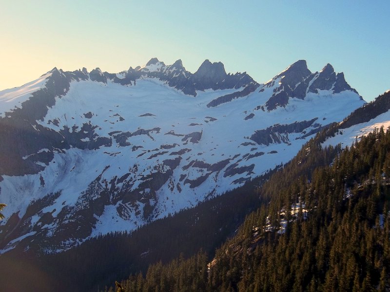
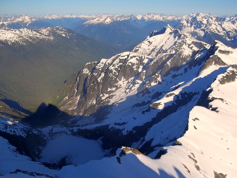
Trip: Mt. Buckner - trifecta Date: 7/24/2011 Trip Report: Ryan Lurie, Louie Dawson and I left the cascade pass th in late afternoon on the 23rd and bivied high on the arm, briefly enjoying Z's under the stars before a 2am alarm (we had ambitious plans that only partly came to fruition). We made it to the Boston Sahale col by sunrise, a doubtful appearing scramble traverse presented itself, but after some careful route finding (thanks Louie!) we found a feasible route across the exposed chossyness to the Boston glacier. The route across the BG was straightforward and non technical, as was the bergshrund crossing to gain the north face... We found firm conditions on the face, ideal for frenching it to the summit where we snoozed for a few, waiting for the face to catch some sun and soften. The skiing was excellent, a tad on the firm side, but very few runnels or other late season shenanigans. We then put some effort into our original ambitious plan only to decide against it after a couple ours of expended effort. We then climbed the north face again, and Louie and I dropped into the North Couloir, where we again found fantastic corn, and we skied down to the bergshrund, which is presently a 20' vertical obstacle. We crushed the climb back up and dropped into the sweet sunny slopes of the south face. We regained the arm at a high elevation, packed camp and skied red diatom snow down to the pass, where we tried and failed to ski all the way down to the car, the long trail out was our route in the end. Ryan and Louie enjoy the sunrise at the col Ryan and Louie traversing to the Boston Glacier from the Sahel col Louie and Ryan ski to the shrund Louie sighning the summit register on Buckner ski porn


-
Computer Monitor at Erie Lookout Wall
danhelmstadter replied to climberpage's topic in Access Issues
I don't remmember seeing a sign, there's a memorial to a fallen climber, and some other climber related stuff near the parking area. a "climbers may be below" sign near the lookout seems like a great way to help prevent an accident. -
Computer Monitor at Erie Lookout Wall
danhelmstadter replied to climberpage's topic in Access Issues
Grabbed the busted monitor/glass, and a motorcross tire out of there. I'd advise anyone climbing in that area to wear your hard hat, I saw two differant groups throw stuff off the overlook while I was climbing there today! I asked one of the groups if they had dropped somthing, they denied it, when they had clearly just launched a branch twenty feet to the side of me. -
Computer Monitor at Erie Lookout Wall
danhelmstadter replied to climberpage's topic in Access Issues
i'll be there today, and do what i can to clean it up. -
[TR] Yosylum - Da Kapitan - Seeing Dog on the Salathe 6/26/2011
danhelmstadter replied to ivan's topic in California
sounds pretty epic! being a former smoker, i understand the despair of getting the smokes wet far away from a store. thanks for the cool story. -
wow, great trip! love the lenticular picture.
-
Yeah that place is somthing else!
-
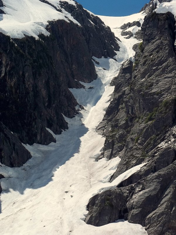
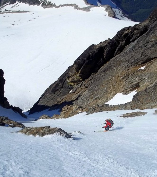
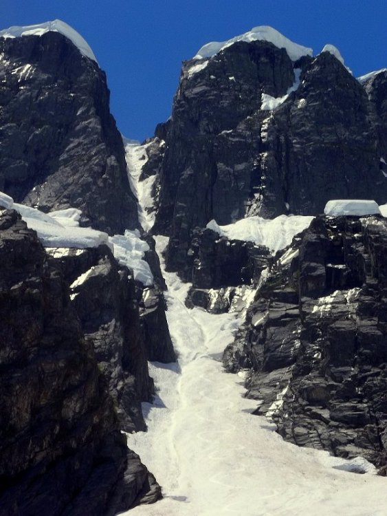
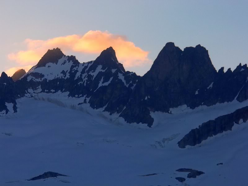
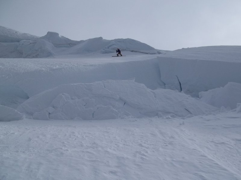
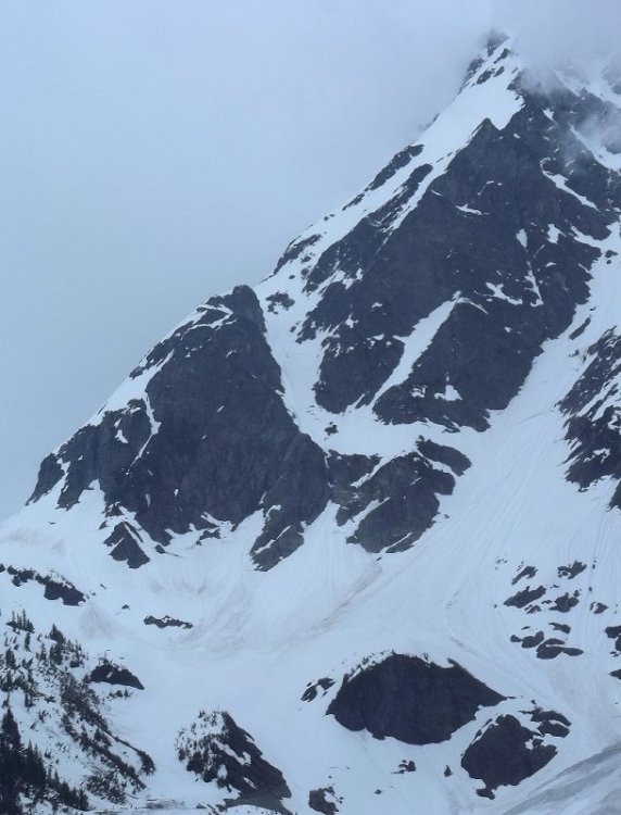
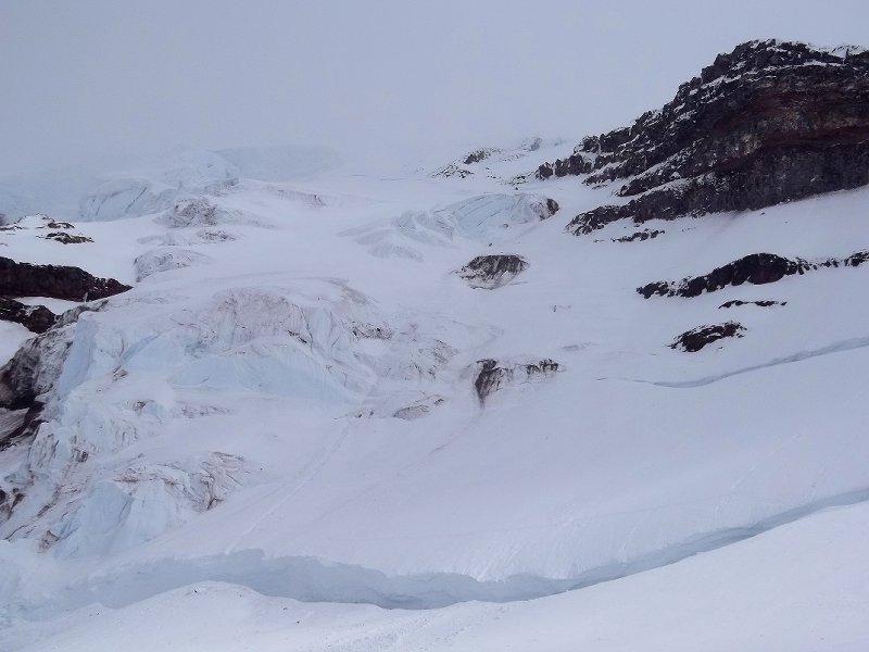
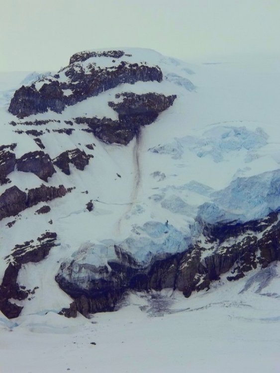
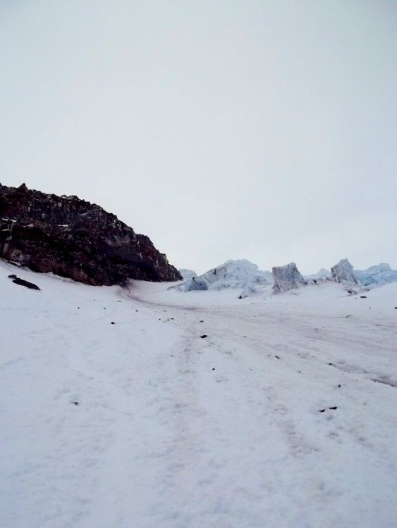
Trip: terror basin - azure lake couloirs & west mcmillan spire Date: 7/4-7/2011 Trip Report: I left around noon on the 4th from the upper Goodell c.g. and stumbled over bear scat brush and creek crossings up to the lower reaches of terror basin. The next morning I moved my bivy up to alpine zone, then set out to investigate some couloirs that descend into the mystical lake Azure basin from the upper rim of Terror basin, I had spotted these on google earth. After some scouting, I dropped into the prominent large couloir finding some runnels and sun cups up high transitioning to nice corn lower down, skiing all the way to the still frozen lake Azure, a 2600' descent. I climbed back up, returned to camp for some tea, then climbed and skied the west ridge of West McMillan Spire. The snow ended a hundred feet or so from the summit, so I left my skis there and scrambled up colorful rocks in golden late day sun to the fabulous summit. The ski down to camp was excellent. The next morning I dropped into a steep deeply in cut 2200' couloir down to lake Azure. There was some objective hazard for this route, and I had a moment of despair when a large crash rumbled above echoing throughout the couloir where I was negotiating a trick runnel sidewall section, the debris however did not enter the couloir... The upper portion of the route was technical skiing with a deep old runnel and icy snow to deal with. The lower portion and apron was ripper. I climbed back up the bigger couloir on the left to reach the rim of Terror Basin, where I continued up to peak 7200' and made effortless turns on perfect corn down its southwest shoulder back to camp. The next morning I headed back to civilization, and was at Upper Goodell c.g. around noon. I used to do a lot of backpacking excursions into the wilderness, I've forgotten how rewarding the experience can be, especially alone. I enjoyed the beautiful songs of the birds, the swaying white noise of waterfalls and wind. The sunsets, stars and moon. The steeper 2200' couloir 2600' Terror Basin Terror Inspiration turns on peak 7200'

-
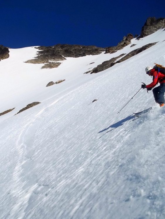
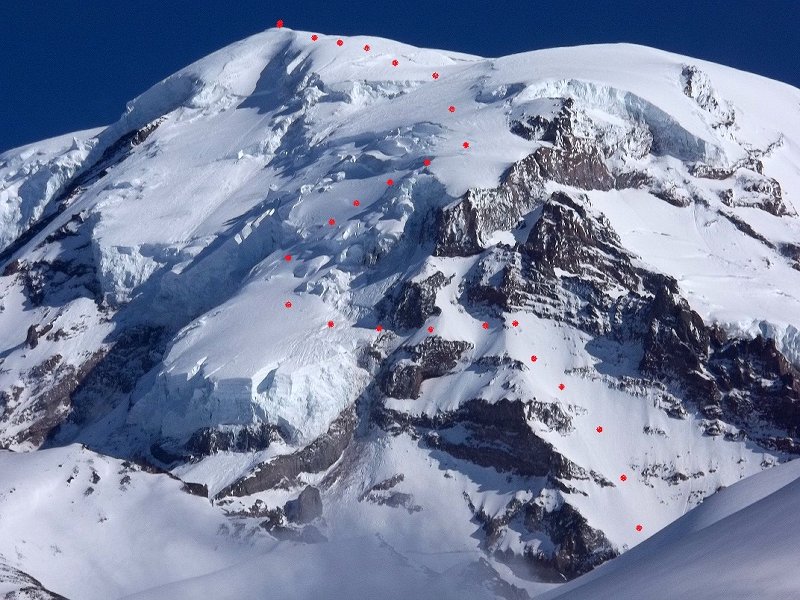
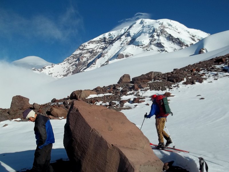
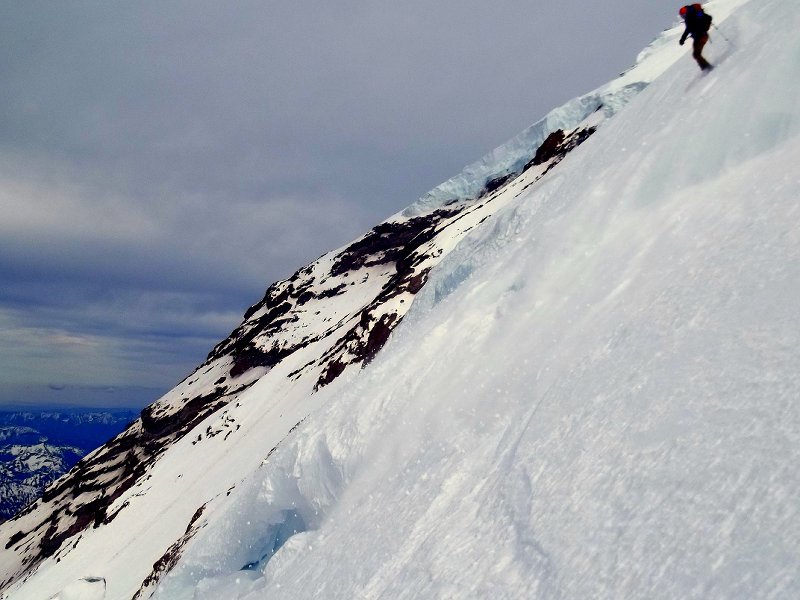
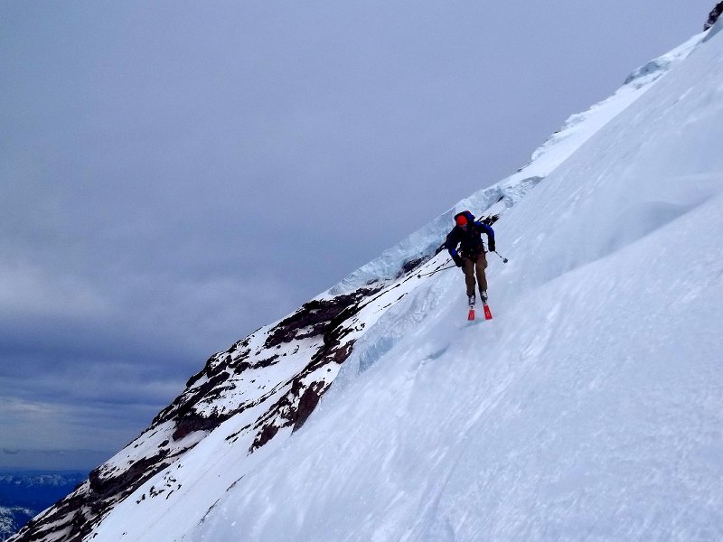
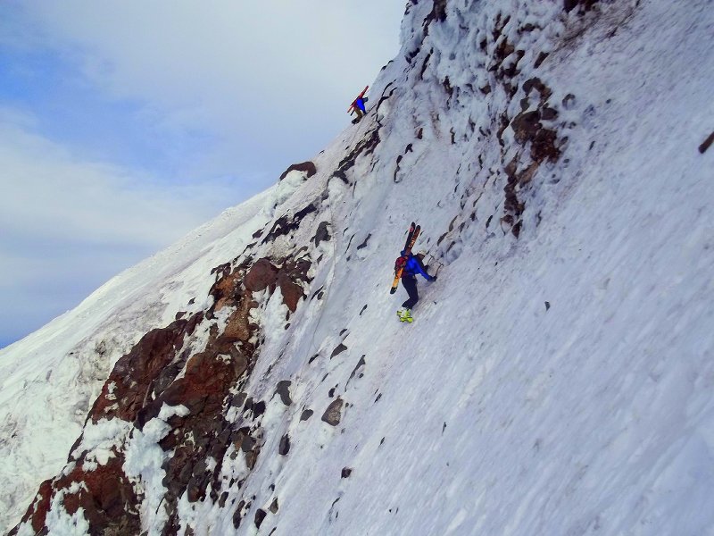
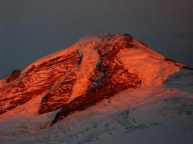
Trip: Mt. Rainier - Ptarmigan Ridge Date: 6/25-27/2011 Trip Report: On June 26, Pete Hirst, Eric Wehrly and I climbed and skied a variation of the Ptarmigan Ridge route on Mt. Rainier. We approached via the Mowich Lake road the day before, there were some navigation difficulties due to variable snow cover and thick marine clouds. The lower portion of the route held variable crusty snow and led to a traverse of a mixed ice/snow shelf. We traversed the shelf to an very exposed ice step, (Pete thought it was alpine ice 3+). We free soloed the step to gain Liberty Cap glacier, and made haste to clear a zone that posed a hazard of serac fall. We roped up and weaved our way up the heavily broken glacier, crossing several dicey snow bridges, one of which we belayed, protecting with a ski anchor. High and mid level clouds had rolled in and blocked the sun (the day had been forecasted to be sunny), we topped out on liberty cap chilled and worked. Ski conditions on the upper portion of the route were as to be expected for the raindawg -- variable ice/powder/crusts, the highlight being a section of steep powder midway down the tongue of the Liberty Cap glacier. On the way up Pete had installed a v-thread at the top of the ice step, and we backed it up with a screw then rapped the ice step. After traversing the mixed ice/snow shelf - we clicked into ski is. I had some doubt that the steep lower slope would not soften since the clouds had blocked the sun and FR levels were only forecasted to hover around 10k... But the lower slope was good enough, definitely on the firm side for the top half, then softening nicely lower down. We were stoked, but a little dehydrated, and drank like fish when we found a seep on our way back to camp. scouting bivy E MONEY back in the hood. money Emoney ready to rap, Pete starting traverse Pete thanks fellas
-
I grew up two miles from fenway park, it makes me sad to hear about the injured boston fans.
-
Nice!
-
Trip: nf shukshorn Date: 6/12/2011 Trip Report: My plans became obscured with the clouds that rolled in, so it was either descend the white salmon or the north face, I'll be damned if I ski the white salmon again. Gapers have opened up on the traverse over across the upper hanging, I stopped in my tracks several times to wait for the white out to blow over so I could navigate the crevasses. Thankfully I didn't have to wait at the entrance of the north face for a window of visibility. The steep upper skiers right entrance was soft -- It's always great come back in the spring and ski routes in easy soft snow conditions that have scared the hell out of me in icy midwinter conditions... My minor sluff from turns up high grew into a shit storm as it entrained soft snow lower down and raged off cliffs, spilling onto the frozen lake 4500 feet below. I had to hop a couple cracks and rally big runnels on the lower face. The White Salmon drainage had good corn conditions. Interesting to note evidence from a MASSIVE avalanche from the winter that apparently started in the NW Couloir, then took out a swath of forest as it went up a hill across the valley and banked -- then went all the way down to the big trees at the very bottom of the valley...knarly...I'll get pictures next time.
-
Trip: Kulshan - Park & Coleman Headwalls Date: 6/9/2011 Trip Report: Yesterday I skied the Park and Coleman headwalls. I ascended via the standard trail (grouse creek on the way down & it was much faster) I busted through a thick marine layer around 6k -- and took the CD to the summit - partially covered a with a variable orographic cloud as well as some mid level clouds rolling from the west. The Park Headwall was in decent soft if a bit crusty condition I set off a loose wet slide a few turns in that quickly ran the length of the face. By the time I climbed back up -- the summit region was completely obscured in clouds. It was cool to see Amar and company on the summit -- the third time I've randomly bumped into Amar on the summit of Baker. I found the entrance to the CHW with a gps, and waited a while for a window of visibility to present itself, which it did eventually. Turns on the steep upper portion were a little firm and visibility was so so, but conditions and visibility both improved dramatically lower down. Much of the route is moderate in angle, with only a couple steep sections -- crevasses, spotty ice and rockfall make this otherwise moderate route a little more dangerous. The ski down grouse creek is fun and quick. GO GET IT WHILE ITS GOOD! When I think about baker, I often get a mental picture of this photo I took of the CHW back in Oct. 09. Looking down the PHW yesterday, (the park headwall seems a few degrees mellower this year - probably beacuse it's so filled in) high on the coleman CHW from the glacier
-
knarly! glad you are safe and sound.
-
[TR] Mt. Rainya - nisqually ice cliff 6/5/2011
danhelmstadter replied to danhelmstadter's topic in the *freshiezone*
Thanks Jason, I remmember looking at it last year and thinking about skiing it, although i can't remmember if there was a rock step -- Amar was stoked to tell me about the coverage earlier this winter, and I trust his insight as to historical coverage as well as many other things. I don't care if it has or has not been skied before -- that is not a motivation for me to ski, I like the big and steep, if it happens to be a first - thats cool but beside the point. I think that with recent improvments of AT gear, and more TRs floating around out there - ski mountaineering will continue to grow, and descents that are impressive now will be standard routes in ten or twenty years. -
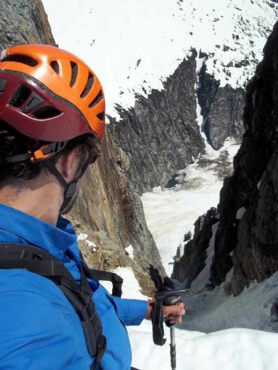
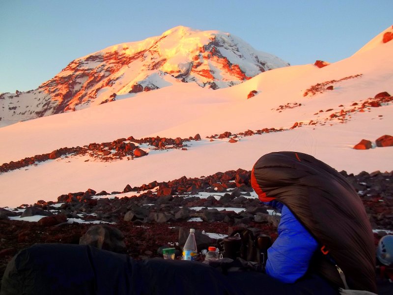
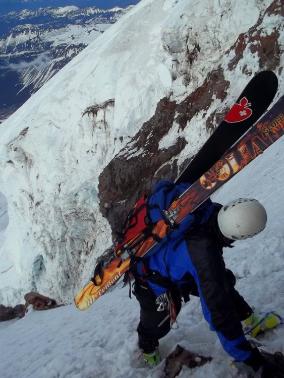
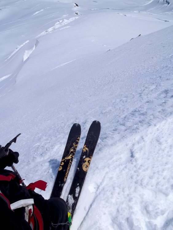
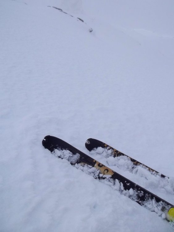
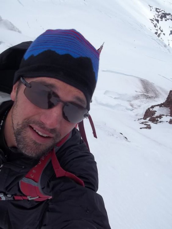
Trip: Mt. Rainya - nisqually ice cliff Date: 6/5/2011 Trip Report: With 2 hours of mediocre sleep, I left the paradise lot around 2am, and made good time up to Muir -- Where I ate some food - including some "mint chocolate" which I think was the culprit behind a wave of nausea.. Booting up the Beehive felt slow, and I took a couple hours at the top of it to watch threatening clouds move overhead and to wait and see if the clouds were all show with no bite. Feeling good about the weather, I continued up the ledges noticing that gib chute got skied out by at least a few, steps from previous ascenders made the going easier. I was surprised to see the glacier below the rim to be pretty broken. A band of clouds was headed my way, and had already obscured the crater, so I skied off the SE rim of the crater. view looking west across the crater There were a bunch of other skiers up there -- they looked to be heading towards the finger area. My original plan had been to ski the NIC but since the sun was blocked by clouds, I thought skiing gib chute would be softer since it has a slightly more sw aspect which meant it would have caught more of the latest sun breaks, but I decided to ski tha 'cliff once I got down to it's entrance -- crusty conditions gave way to soft snow with some packed rime/debris ice underneath. The angle was never very steep, but there were a few crevasse crossings that I had to think about, rockfall from the rotten buttress above was also a concern. i don't know why my expression was so goofy, maybe because i was really happy
-
didn't find the finger cracks but i had fun on a route next to the tracks that starts out with a handcrack with a small chockstone, then gets into laybacky kind of stuff, bueatiful red sunset over the islands/bay yesterday.
-
that place sounds really cool, herbs in the air, turquoise waters... the bike accident sounds scary!
-
sweet -- thanks guys!
-
sick! i may head down for a couple weeks in june, seems like a good year to shlarp ski routes.
-
sounds like there are couple short but sweet finger cracks on beach crack wall at larrabee, i went looking for them the other day but couldn't find them, are they accessed from the main LSP parking area where you walk under the tracks to get to the beach? thanks