
Leaderboard


Popular Content
Showing content with the highest reputation on 06/18/25 in all areas
-
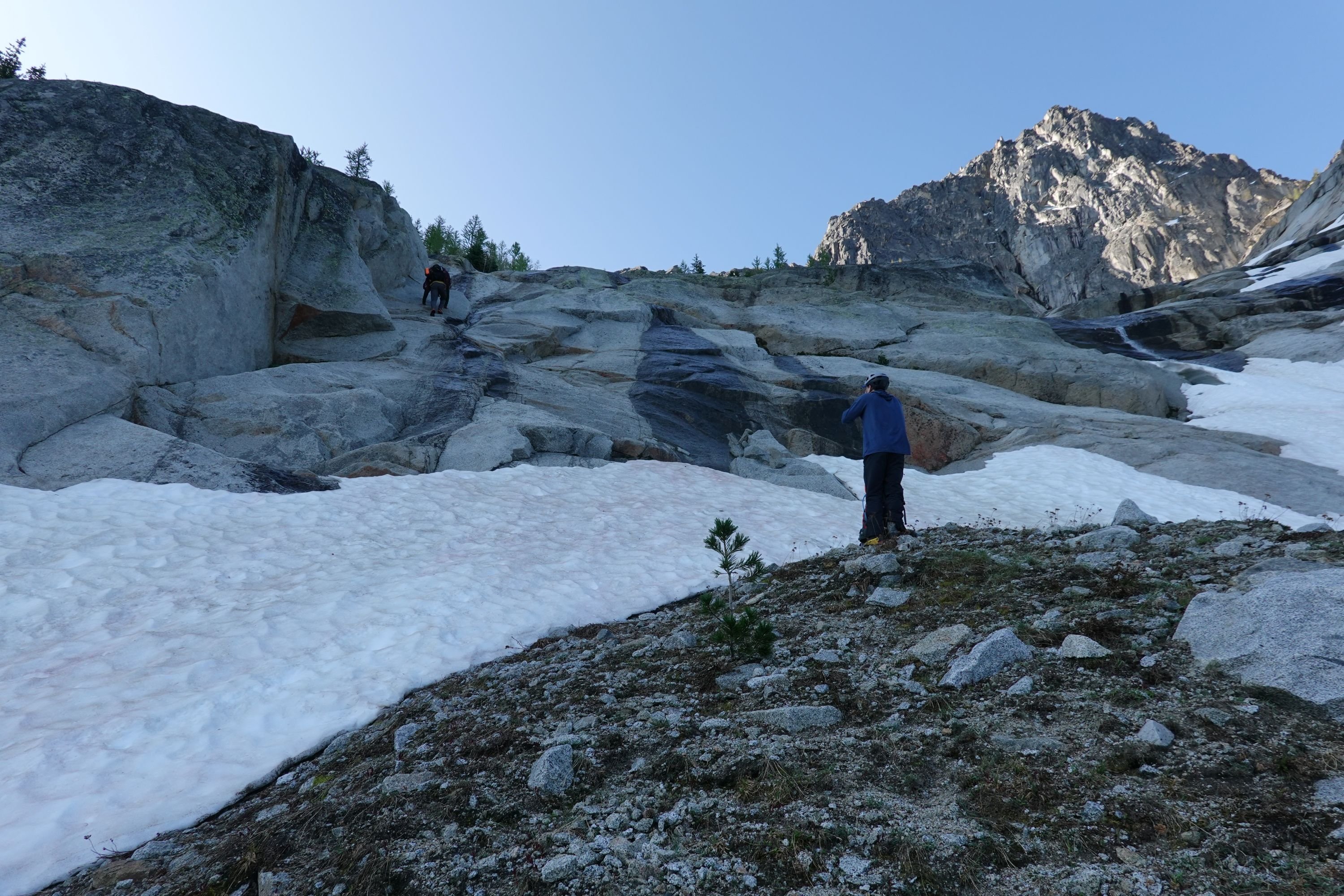
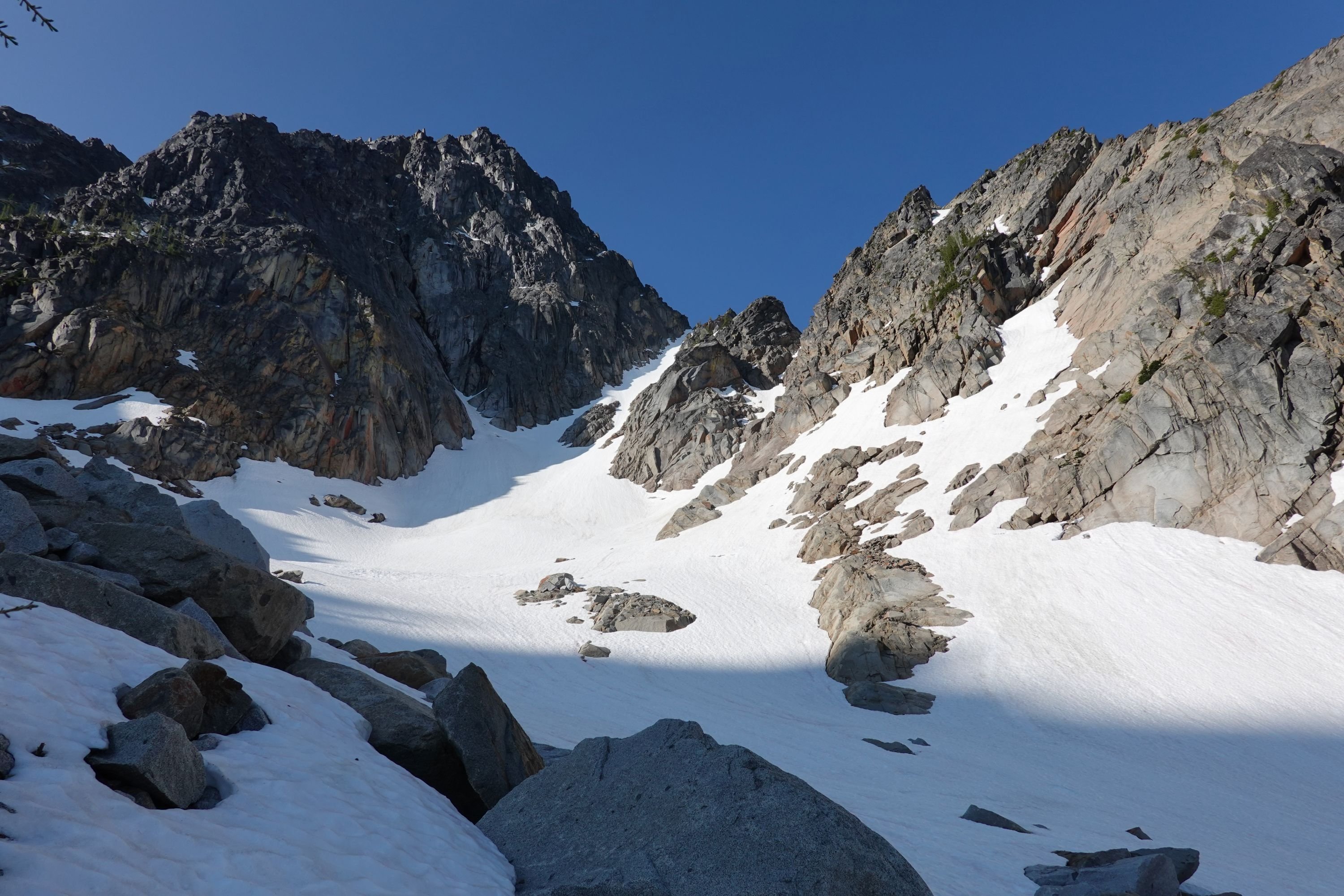
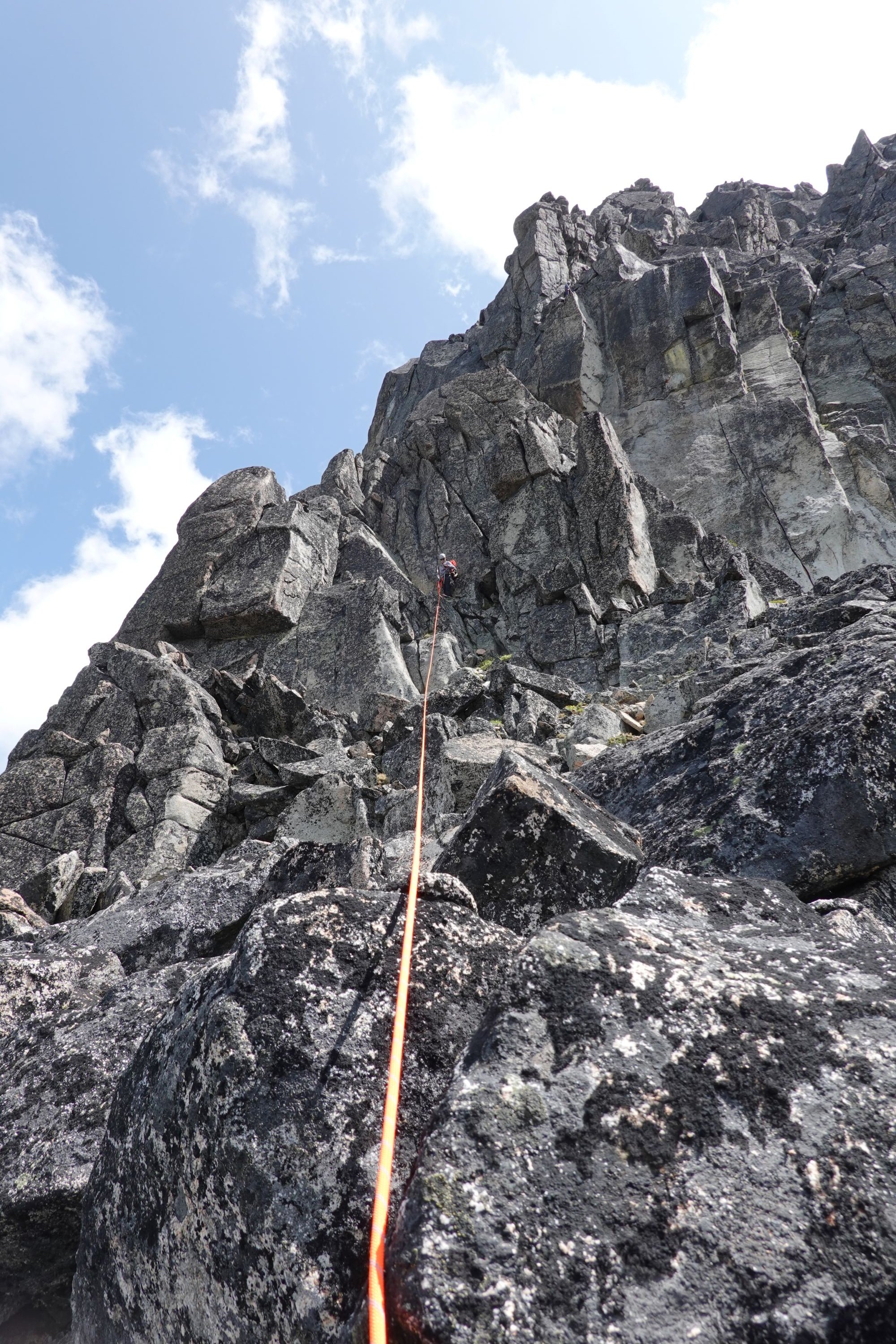
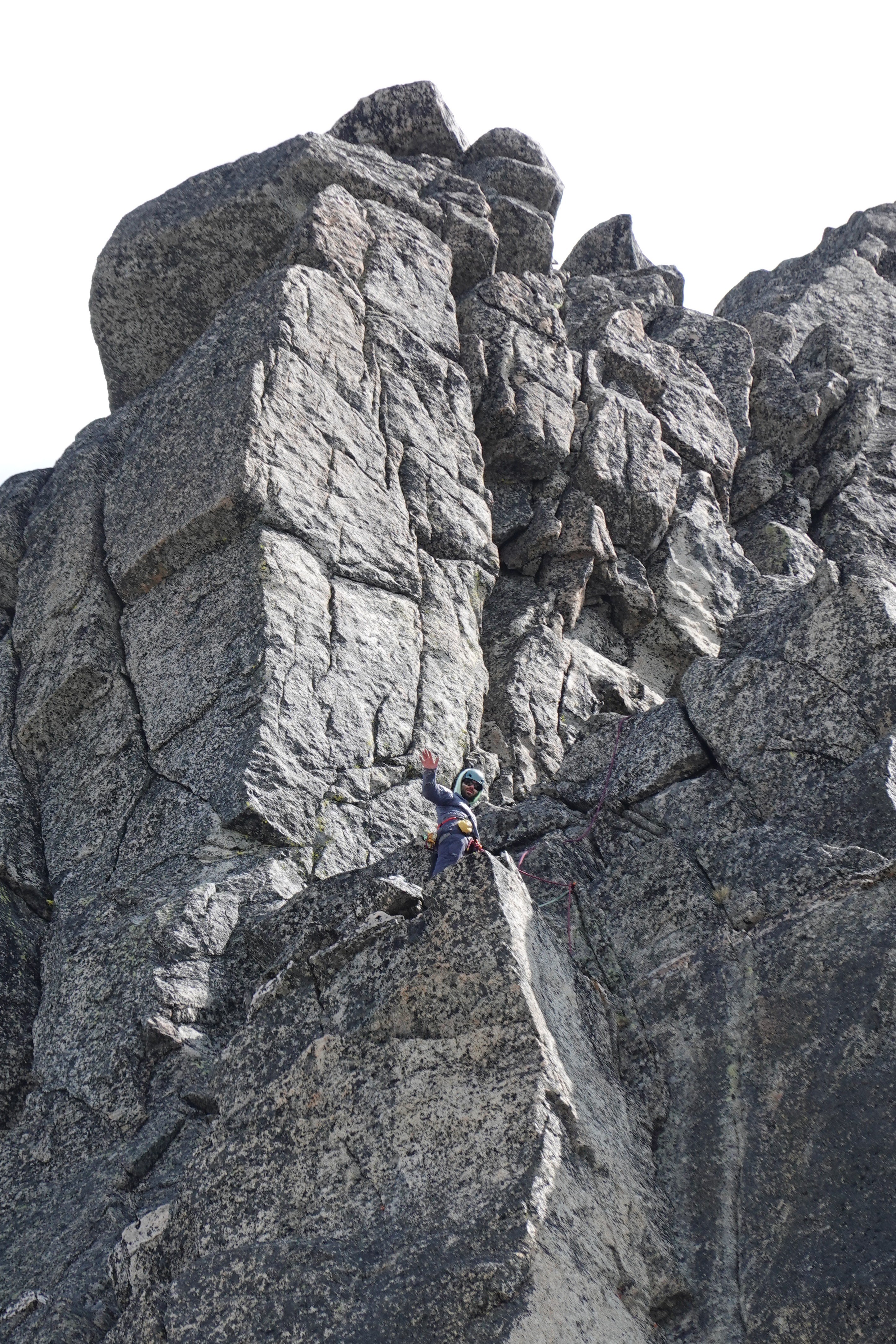
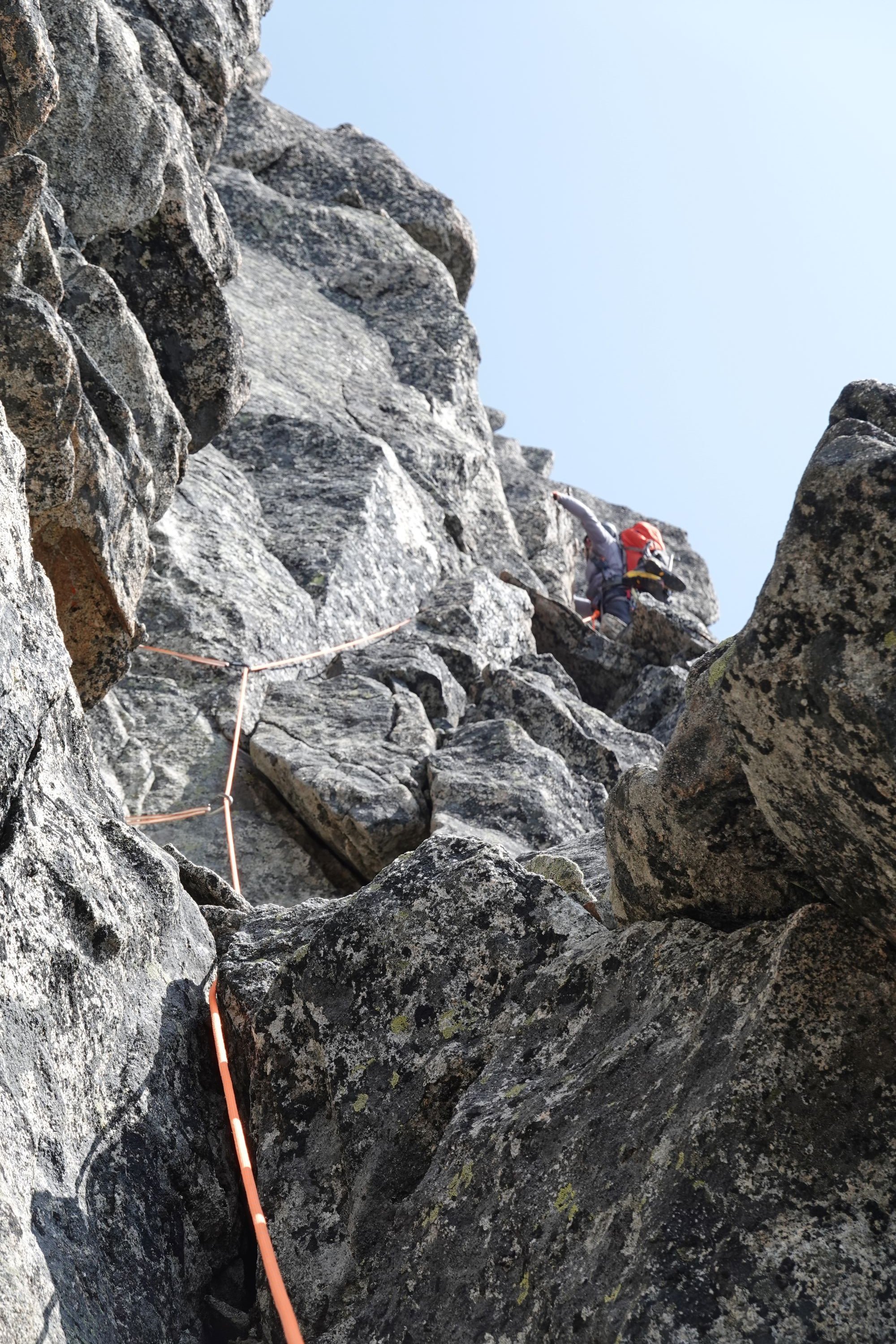
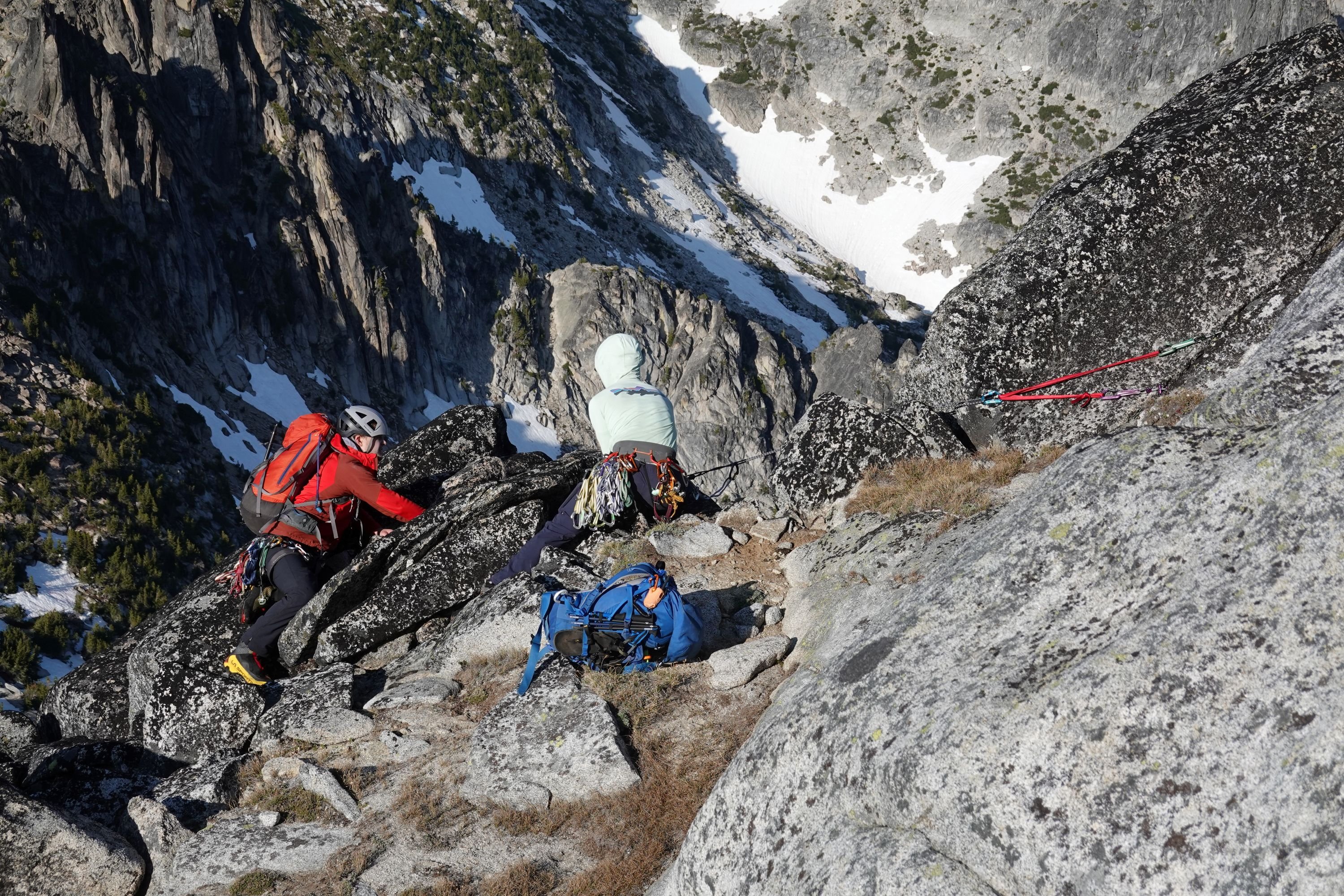
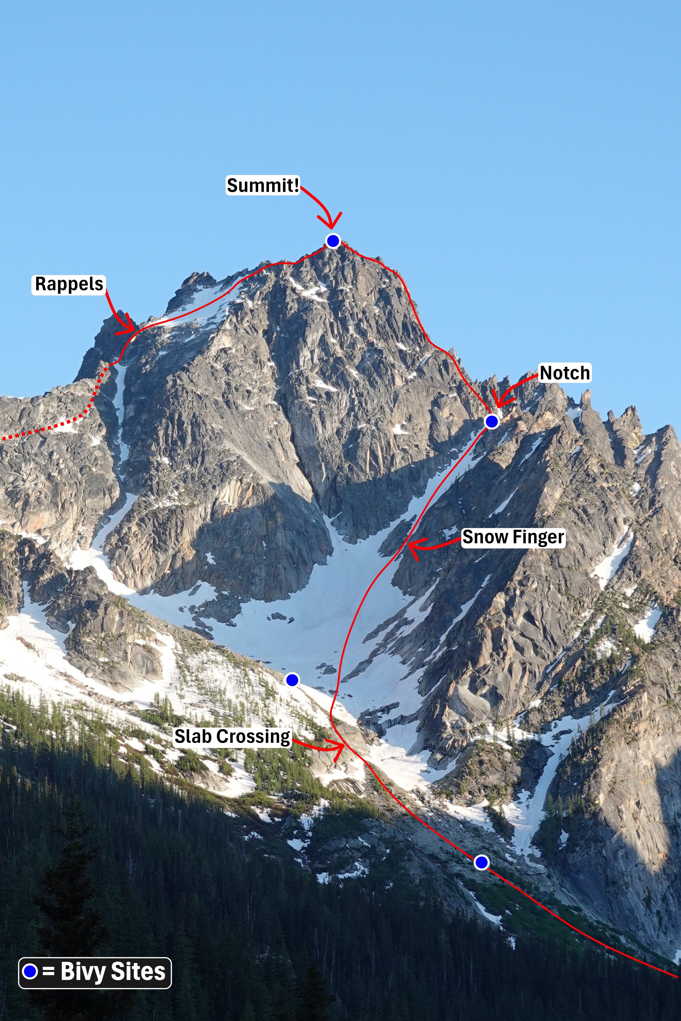
Trip: Argonaut Peak - NW Arete Trip Date: 06/14/2025 Trip Report: Climbed the NW Arete of Argonaut over the weekend with a party of 4! Haven’t seen any trip reports yet this year, so here is a relatively brief one outlining conditions. Our plan to split the climb into a Friday evening approach + Saturday climb did not quite go as planned, and ended up becoming my longest summit day yet at 21 hours… But we got the summit! Our timeline was roughly as follows Friday: 6:45 PM - Departure from trailhead 8:15 PM - Start of climbers trail 11:30 PM - Finally broke out of the treeline 12:30 PM - Bivy Saturday: 6:15 AM Start 7:20 AM - Slab crossing 9:40 AM - Top of notch 5:00 PM - Summit 8:50 PM - Bottom of rappels 11:50 PM - Back to main trail on Colchuck Lake 3:00 AM - Back to trailhead Notes on the route: -Navigating the off trail portion out of the treeline is nontrivial. We lost a lot of time trying to do this by headlamp, as we weren’t able to see the most efficient route out of the trees/slide alder. -For navigating the slab before the snow climb, we had one person solo it, then build an anchor and drop a rope for the rest of us. -I believe the snow finger going up to the notch where the climb starts usually defines if the route is still in. There was still a reasonable snow finger for us to climb up. -There’s a topo and route description floating around that describes the route in 5 long pitches, which we found generally as advertised. - We got off the summit in two double rope rappels. I hadn’t seen this mentioned in other trip reports, but the first rappel was the sketchiest rappel station I’ve ever used. It’s just a mid sized detached rock with webbing wrapped around its contact point with the ground. We backed this up with a gear anchor for everyone but the last to rappel. -Most of our trip after this was by headlamp. Thankfully I had been out there two weekends ago for Colchuck Peak, and was able to help plot a reasonably efficient path down Colchuck glacier and the boulder field in the dark. We dipped left into the moraine, then skirted the left side of the boulder field down until the lake. -The rest after this was an eventful if slow hike back to the trailhead due to navigating by headlamp + the fatigue starting to set in. Long day, but a fun climb! Has about all you can ask for in an alpine climb (could maybe do without the slide alder though lol) Route overview, including the bivy sites I saw on route Slab crossing Current snow finger conditions Top of pitch 3 Top of pitch 4/start of pitch 5. If using the topo map, I believe this station is actually ~10 meters earlier than recommended, and we needed to simul ~10 feet so that my partner could build an anchor at the actual end of pitch 5. Climber crossing the flakes on pitch 5 Backing up the sketchy first rappel station Gear Notes: Full rack. Not all was needed for the climb, but was helpful in completing the climb in 5 long pitches Approach Notes: see report above
 1 point
 -
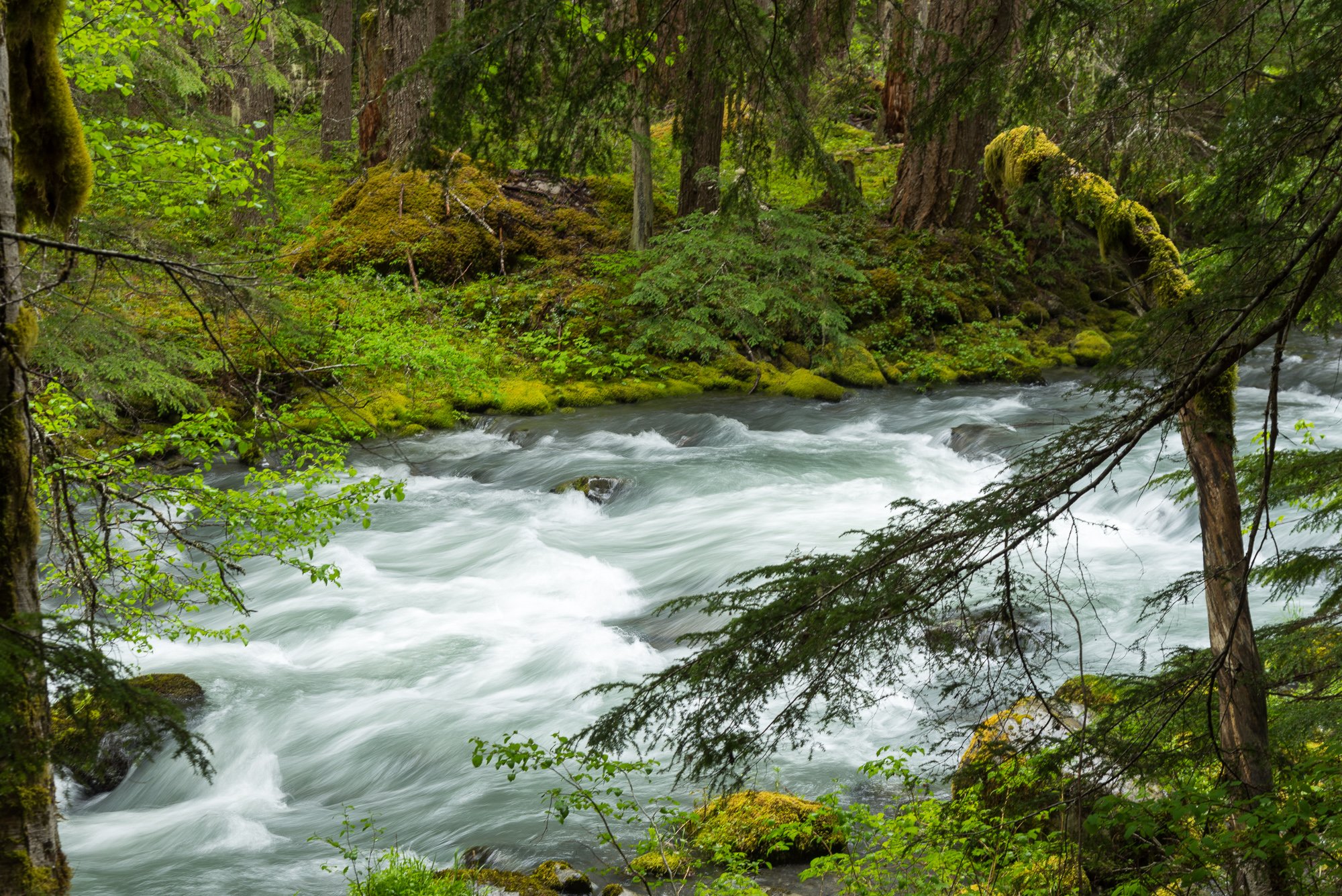
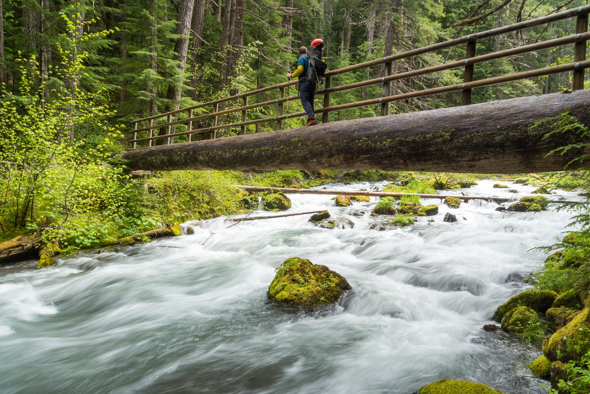
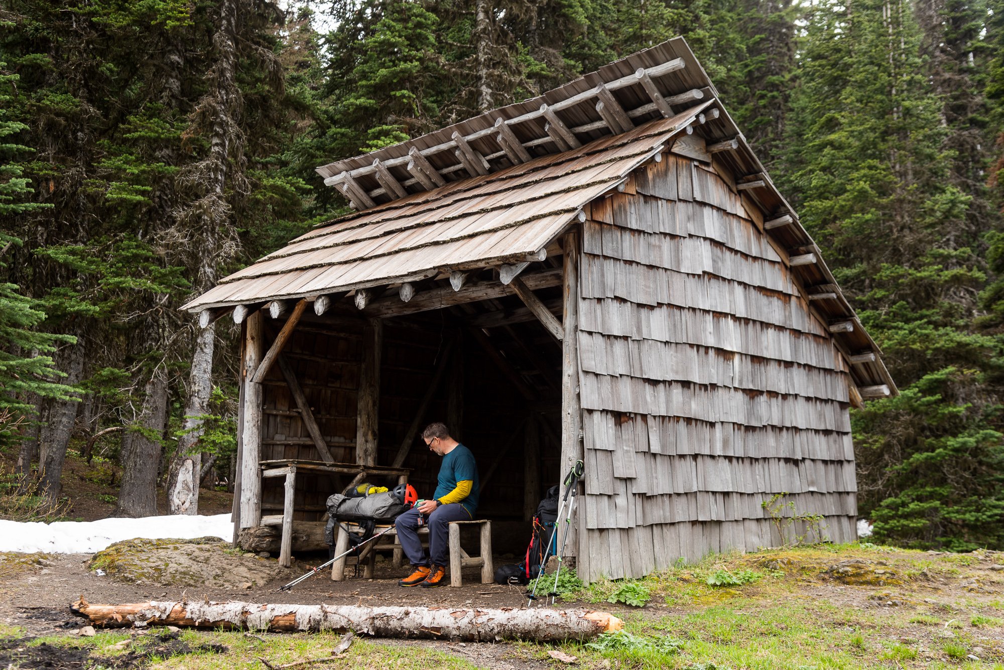
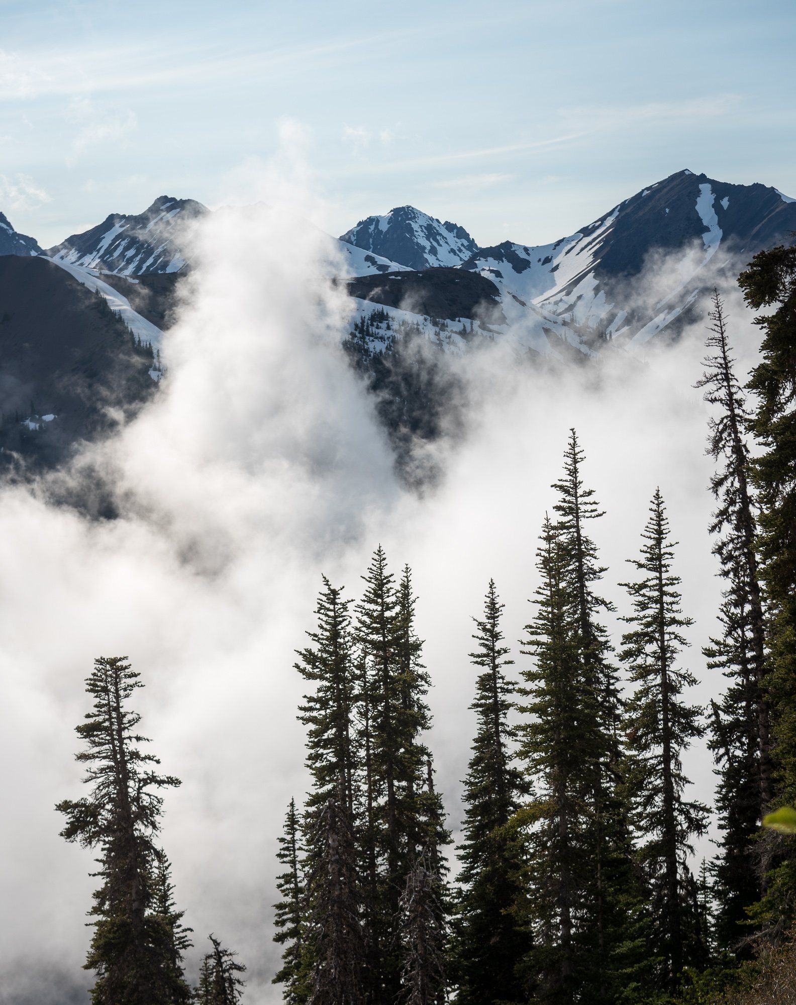
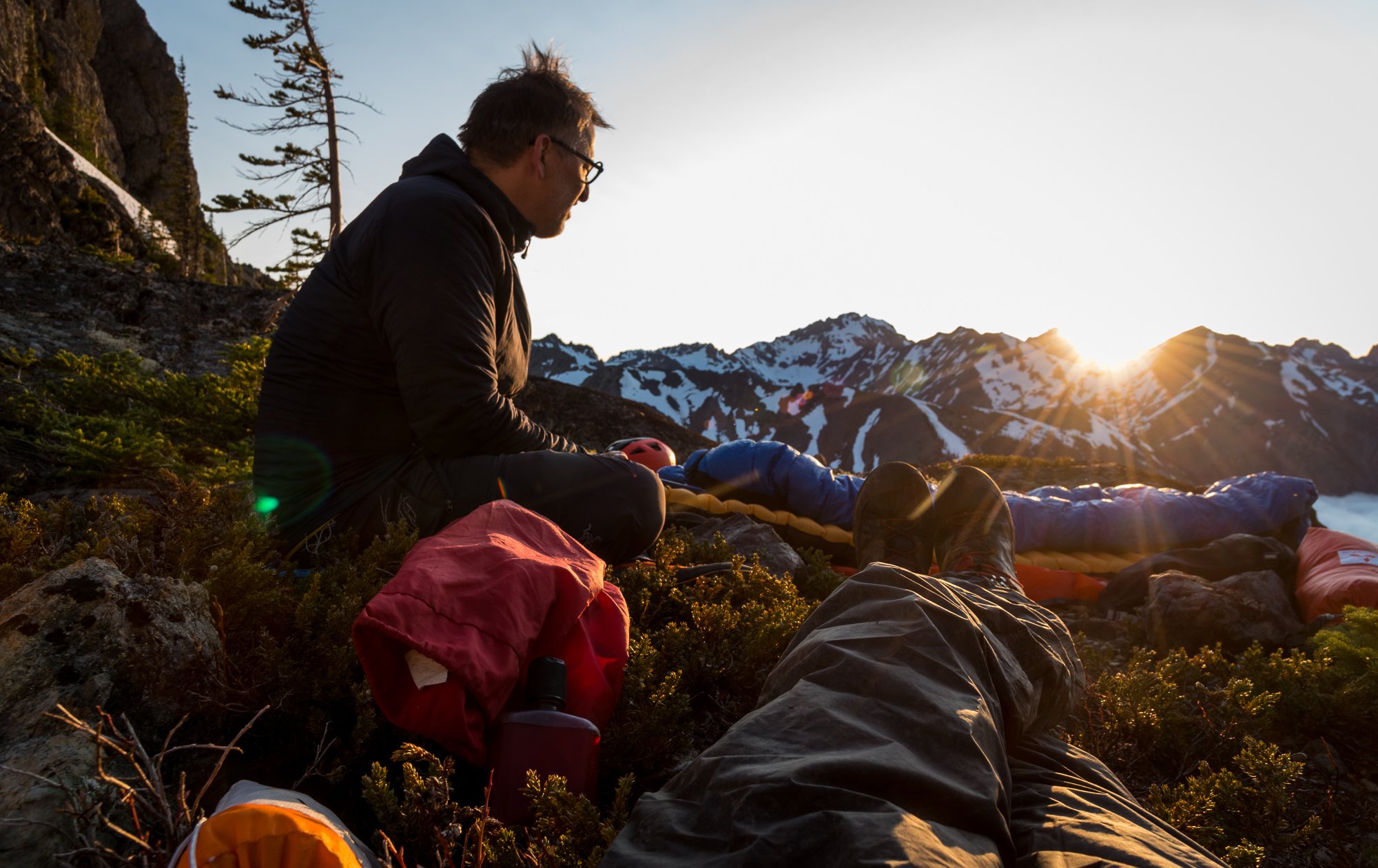
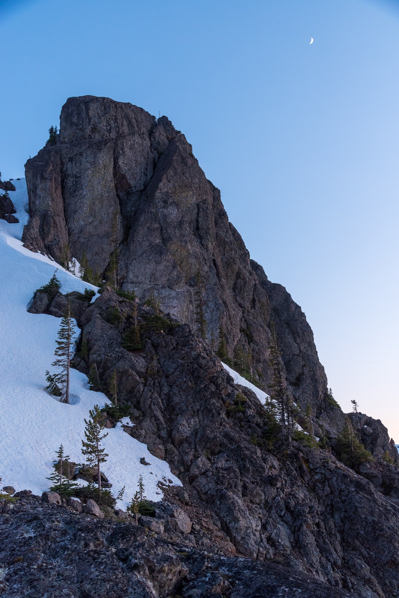
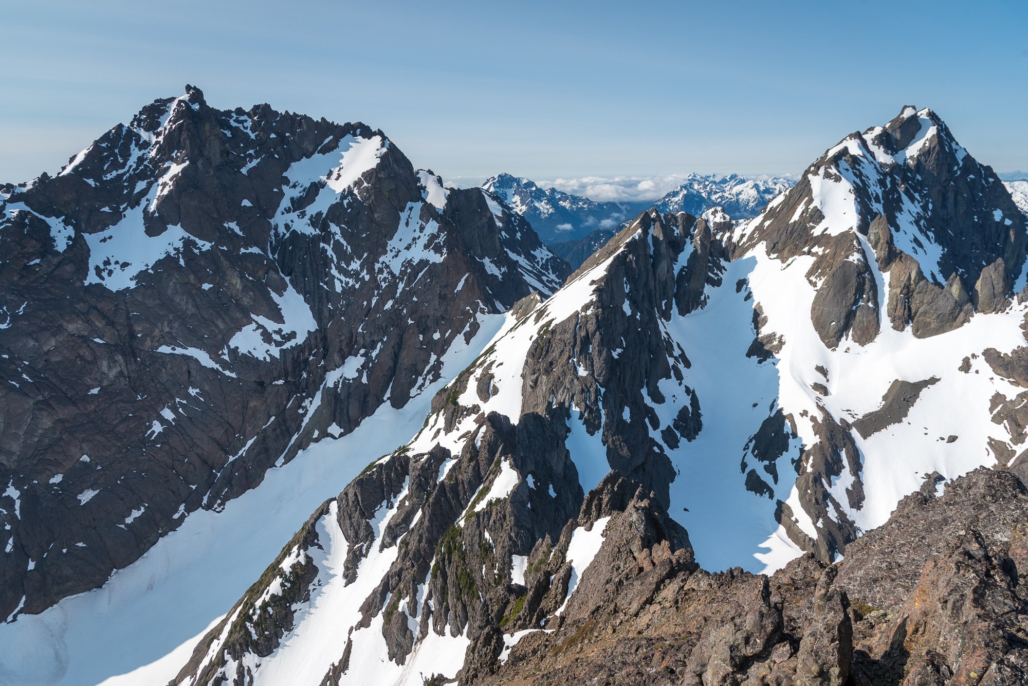
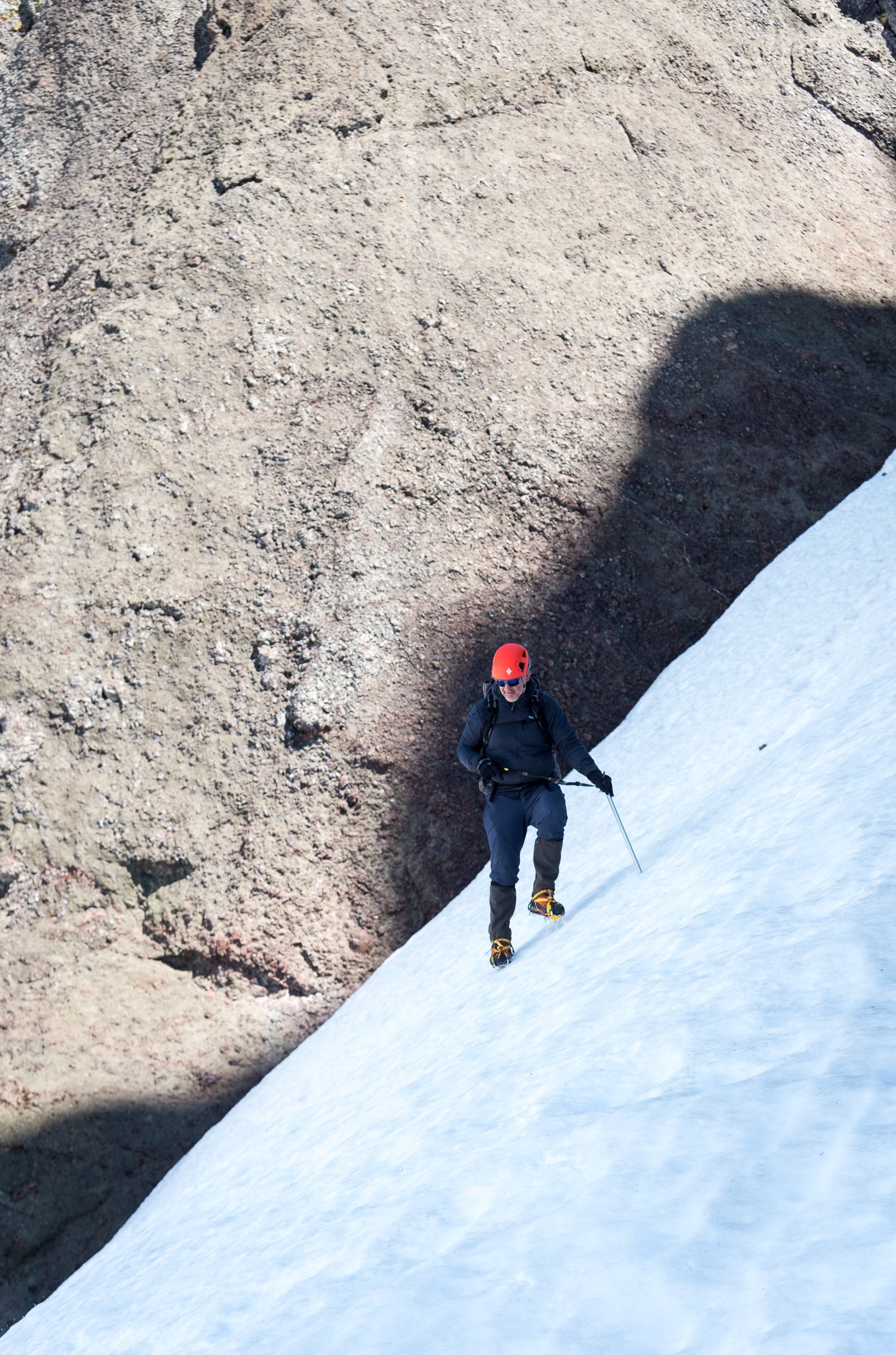
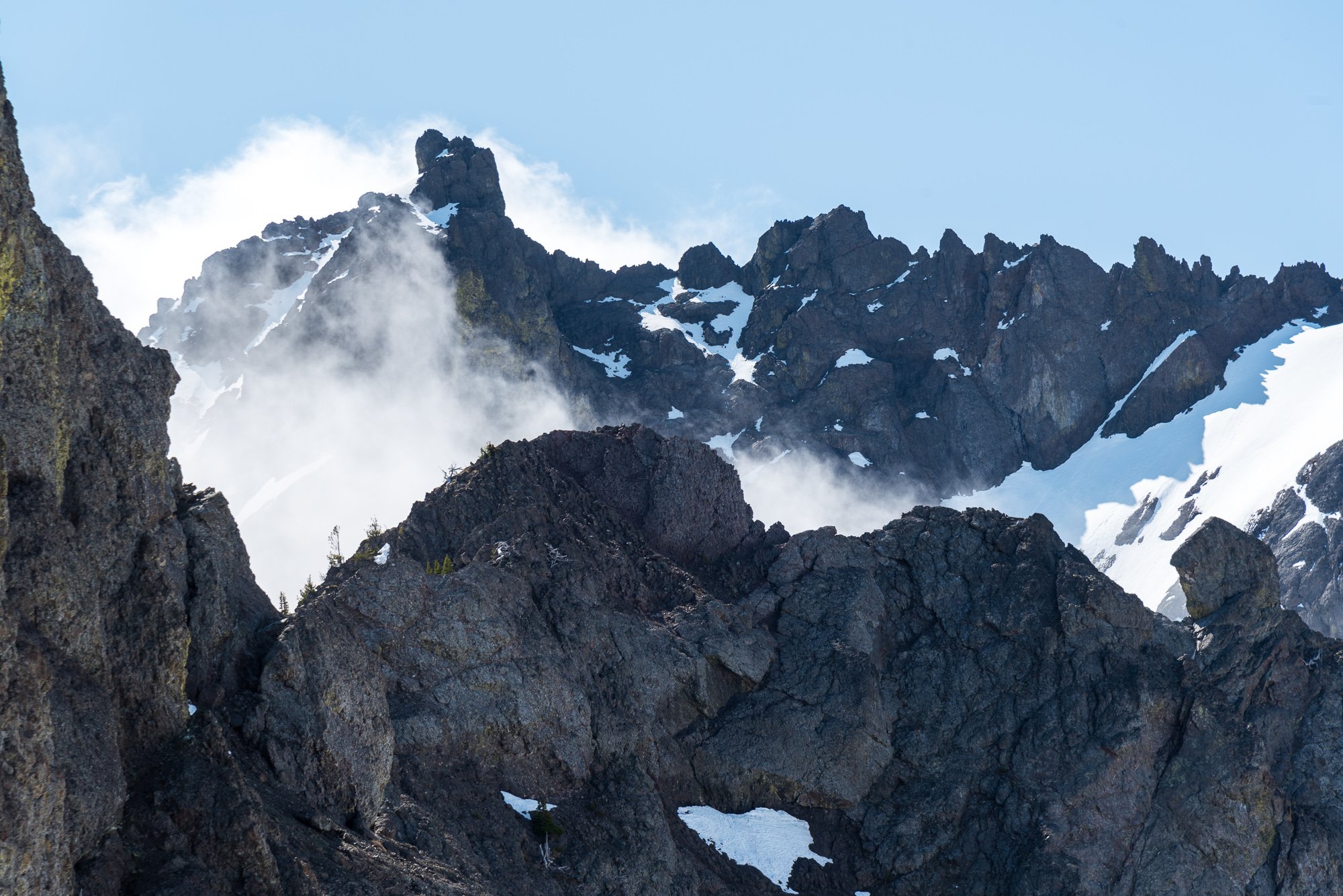
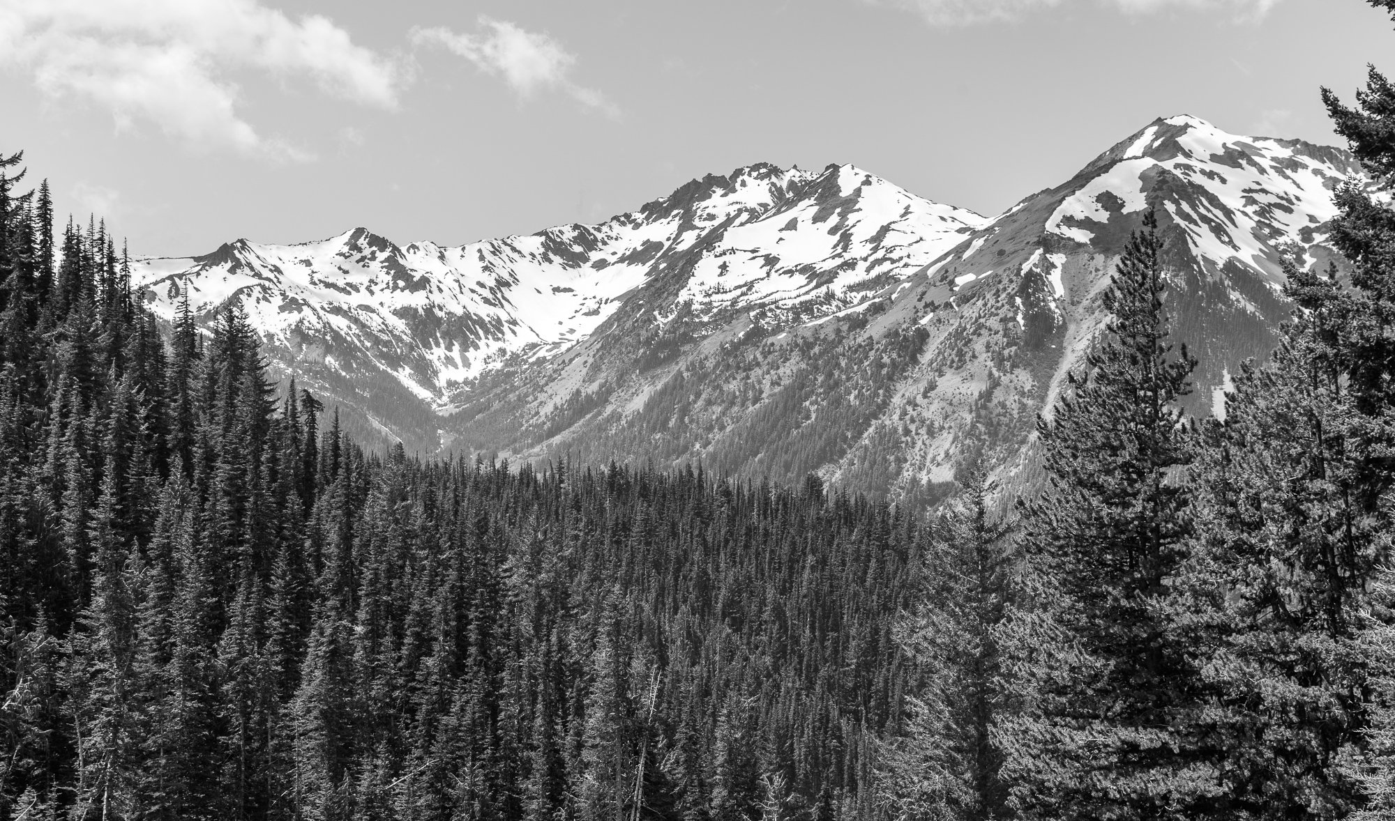
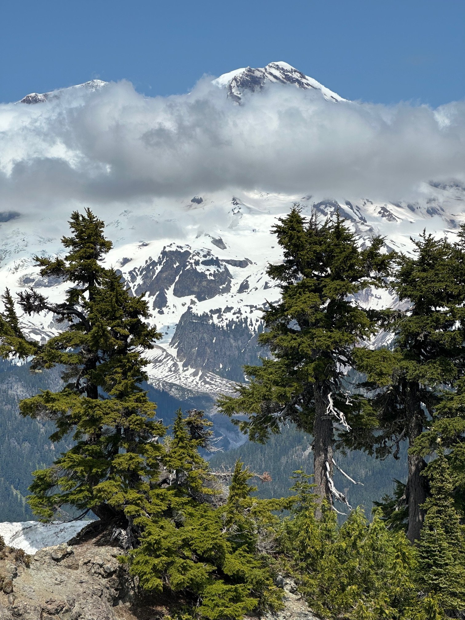
Trip: Warrior - NE ridge Trip Date: 06/01/2025 Trip Report: After talking about it for several years, @olyclimber and I finally got out in the hills together to climb Warrior. It started, like all good Olympics trips, in the rain, wondering if the forecast for fair weather was ever going to materialize. Thankfully it did and @olyclimber and I headed out into the dripping forest along the Dungeness, marveling at how green everything was and how beautiful the waters were. It was going to be a good trip! Boulder shelter: Within a few hours we were at Boulder Shelter, one of the CCC era structures still in use today in the Olympics. @olyclimber , as his name suggests, has a long history with the range and regaled me with stories of his youth, scouting trips, and other entertaining adventures and misadventures in the Olympics. Before I knew it, we were under the cirque on the west side of Warrior, ready to leave the trail and head upwards to a scenic camp perched next to a tarn still buried under winter's snows. It was clearing off nicely and we decided to sleep out in the chilly breeze to admire our surroundings. It got cold during the night and dawn brought a hard freeze to everything, but thankfully our water was only slightly iced. It would be a very firm ascent to the col separating the two summits of Warrior, but thankfully the day was clear without much wind. @olyclimber ascending to the col: Inner Constance and the Rotten Rockenspiel: At the col we started the traverse NE on steepening snow, barely getting the frontpoints of our aluminum crampons into the hard neve. I offered to head on up and "have a look" while @olyclimber hung back. It never got really very dad friendly and I contemplated turning around at nearly every weird snow/rock transition. The abundant snow/ice on the summit rocks made it much more challenging than expected, but for better or worse I continued upward. @olyclimber wisely stayed back and enjoyed the sun at the col while I hemmed and hawed my way to the top. Constance and Inner Constance from the summit: The view west to Mystery and Deception from the top: The summit rocks. The easiest route starts left of the photo and works up and right. The direct route is supposed to be low fifth? We had some miles to cover and driving to do and so I didn't linger on the summit long, and we carefully descended the still rock hard couloir back to camp: Admiring Constance along the way back to camp: along with Mount Mystery as we descended from the high country and out the Dungeness trail: Thanks to @olyclimber for keeping the dream of Warrior alive for me these past few years and making the trip happen! We are quite fortunate to have so many adventures waiting for us just a few hours away. Gear Notes: ice axe, crampons, helmet Approach Notes: Dungeness trail past Boulder Shelter then up into cirque by small tarn, west of the summit. Climb prominent couloir NE to saddle between Warrior summits and then traverse steep snow to the NE until you can ascend up and right to gain the NE ridge. Follow up and right via exposed and steep scrambling. Best if snow free, which is likely by late June.


 1 point
 -
Oh, duh! You meant THE mountain!?
 1 point