Leaderboard
Popular Content
Showing content with the highest reputation on 08/26/22 in all areas
-
Trip: Good and Storm King - NE Butt, SW Route Trip Date: 08/19/2022 Trip Report: Me, @MGraw and Dave did the NE buttress on Goode Mountain and the SW route on Storm King over four days from August 19 to 22. BTW, that’s “gud”, not “gu·dee”, I don’t know what mountain some of you are climbing. Its named for Richard U Goode of the USGS, and the mountain is pronounced like the name. I’m just writing a quick report to get the info out there. We used beta from Steph Abegg, Climber Kyle, and occasionally Fred Beckey and it went great, so I wont post too much of that. The route finding was generally very straight forward the whole trip. We started out at the permit line. It was waaaay better than in years past, but still long. Then we cheated and drove to the Bridge Creek Trailhead for the hike in. I used trail runners to the junction with North Fork Bridge Creek Trail to save my feet 20 mile of hiking in approach shoes… worth it! Trail after Grizzly Creek (short): The creek crossing of North Fork Bridge Creek was easy but cold, then straight up from there per Kyle worked amazing. Literally NO brush to get out of the valley bottom. Wow. Approach From North Fork, just go up: We took the wrong buttress up the last portion of the approach and missed the two established bivy spots. The “5400’” bivy at 5500’ or so was occupied, but I looked down and saw the 5700’ site from above. We made a new spot on a slab and gravel at 5970 on a different rib. For next time, you have to scramble up the obviously easiest rib two or three left of the prow that the path leads you up to. This was our only real route finding hiccup on the trip with somewhat minimal research. All of Goode is amazingly complicated sounding, but is really just follow your instinct from North Fork Bridge Creek to the summit. It took us 8.5 hours car to camp I think. Just up from camp: The next morning we walked like 100’ up to the glacier were we easily walked on on low angle firm snow. We had only snow the whole way, no proper ice. The glacier was pretty easy to navigate from there, one big zig zag to get above the cracks at 6700’. The feared moat was just a couple of steps down on blocks to 3rd class rock. We got lucky hear I guess. I think this wat at 6730’. On route: We scrambled a 3rd class ramp to near the crest, then started simul climbing. Mike lead out and lead a 1200’ simul pitch to a 5th class step where Dave took over. Dave missed a move to the right of the ridge and lead up a tough 5.7 spot with no pro (except our now fixed nut above the difficulty). Stout lead in hiking boots dude! Me and Mike followed in approach shoes, wondering the whole way why he didn’t move off the ridge crest, it was aesthetic though. As much as its tempting to lead the crest, any time it gets tough you can break off. The climbing was great the whole way, never hard (except that one spot) but interesting always, all the way to the summit. I clipped my last sling to the summit rap station to finish my simul block. It was hazy so we didn’t stay too long. 3 raps to some shenanigans to the notch (I’m not sure if there is a good way to do the last rap, but it involved a quick belay for us from the bottom of the rap). Then 2 more raps in the gulley. Skiers right side of the gulley was much better than down the gut, not bad at all. Soon we were in camp on an awesome slab amongst heather at 7600’ just left of the rib. I highly recommend this spot, the slab was perfect for victory lounging. 10ish hours this day. Camp: Brief shower in the evening: The next day we traversed to Storm King and followed the standard beta to the notch. Scree slog, up the gulley to the right of the one with the obvious horn. The one with the horn had a rope that appeared to be fixed for a rap. I’m not sure why you would do this unless you just didn’t want to carry it out. Please don’t do this, it’s just trash now that no one want to take out. Descend your ascent route and take everything home with you. I really hope there was some extenuating circumstance here, but I can’t think of what. We scramble traversed the obvious ledge from the notch for 200’ – 300’ horizontal then scrambled up 3rd -4th class to the summit. The beta here was complicated but the route very simple. Ledge: Reversing the traverse to Storm King, Goode behind: Then down, down, down. There is a path from the little 7440’ knob just SW of Goode leading down the rib to the valley bottom, it comes in and out, but just stick on the crest next to the creek. We hiked out to Park Creek Camp for about 9 hours on the move. Up very early the next morning to beat the heat for 6ish hours to cover the 15 miles to the car and beer that was still as cold as the Rockies! Wow! An amazing trip with way more down time than I am used to. Glad I had good friends to share it with! A classic for sure, though not enough brush for it to be truly a Cascade classic in my book. Nor enough loose rock. OK, so not so quick a report, but it was a really great trip. Gear Notes: 2 30m rope, aluminum snow gear, approach shoes, single rack 0 metolius to #2 C4, like 15 slings Approach Notes: Long but easy. The trail was brushed out except for a little bit after Grizzly Creek.3 points
-
Trip: Mt Stuart - West Ridge Trip Date: 08/20/2022 Trip Report: What a classic route, total type 1 fun climbing at its best. My wife and I climbed it over two relaxing days last weekend. Beta is plentiful, so here’s pics. Headlight basin, one of my favorite approaches in the Cascades. Ingalls Lake, last flowing water until the next day. We’re going here! Starting up the super fun 3rd/4th class Staircase. Looking across to Long John’s Tower. Intimidating to look at, easy to scramble up on the right. Settled in for a high bivy above LJT notch. The alpenglow from the setting sun was incredible. We stayed up late enjoying the ambiance and watched the stars and Milky Way come out. Then the weirdest thing, a long string of lights moving steadily across the night sky then disappearing made us question our reality. UFO? Turns out it was the same thing Oly saw over on the peninsula: https://westseattleblog.com/2022/08/heres-what-that-bright-streak-in-the-sky-was/ Lazy start in the morning. Snow available for water near the West Ridge Notch. Somewhere on the summit block, maybe pitch 3? It all seemed pretty mellow follow-your-nose easy 5th climbing. Summit! Saw several folks up top, one soloist who started from the car about the time we were waking up (an impressive 4 hours up the WR), two guys attempting the Stuart Range Traverse to Asguard in a day, and several scramblers up & down the Cascadian. The descent was less enjoyable, Katie's first time experiencing the Cascadian and she said she wants to downclimb the WR next time. Finally the slog up to Longs Pass gave us a parting view of Stuart and the route. Back at the truck, tired but mentally refreshed as always. Gear Notes: Rope and minimal rack. No axe or crampons necessary. Approach Notes: This field is required?2 points
-
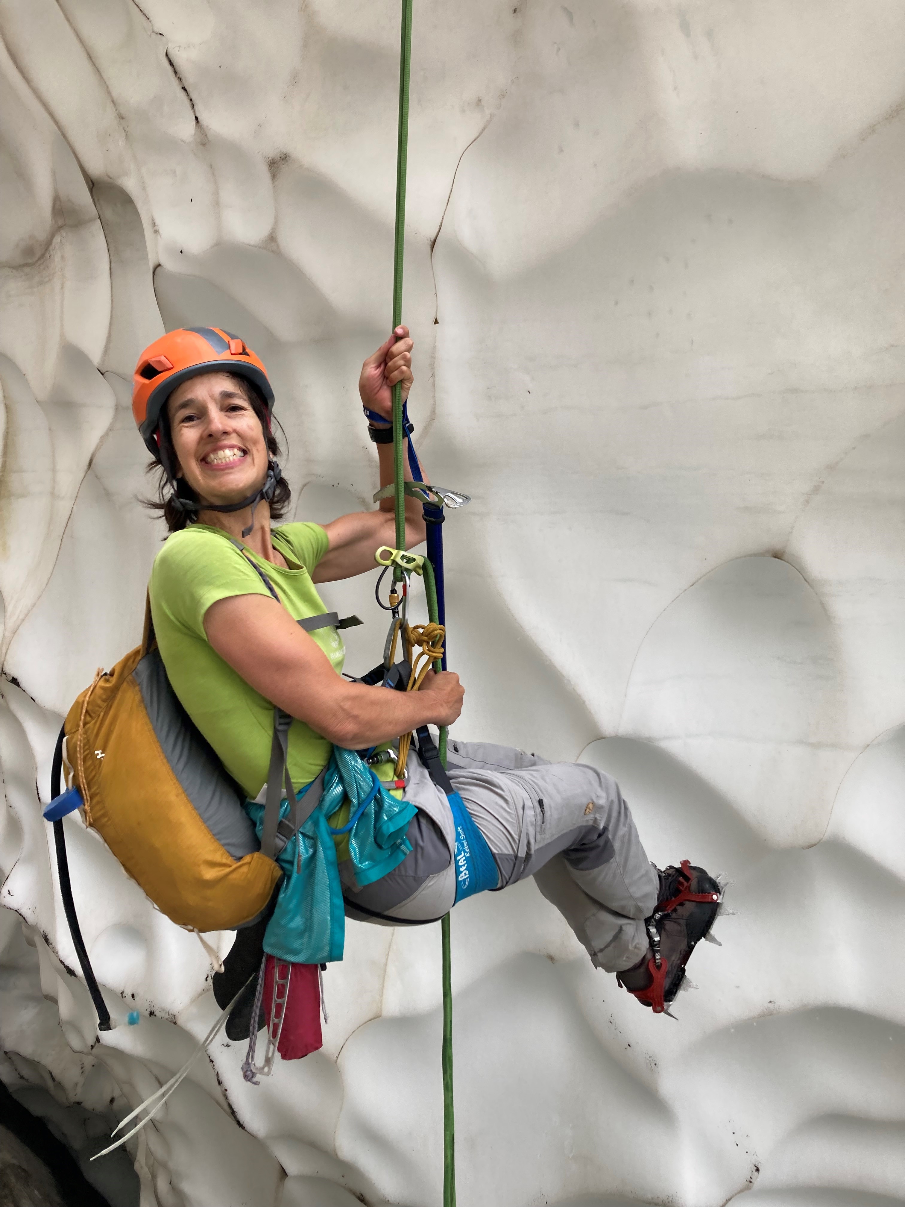
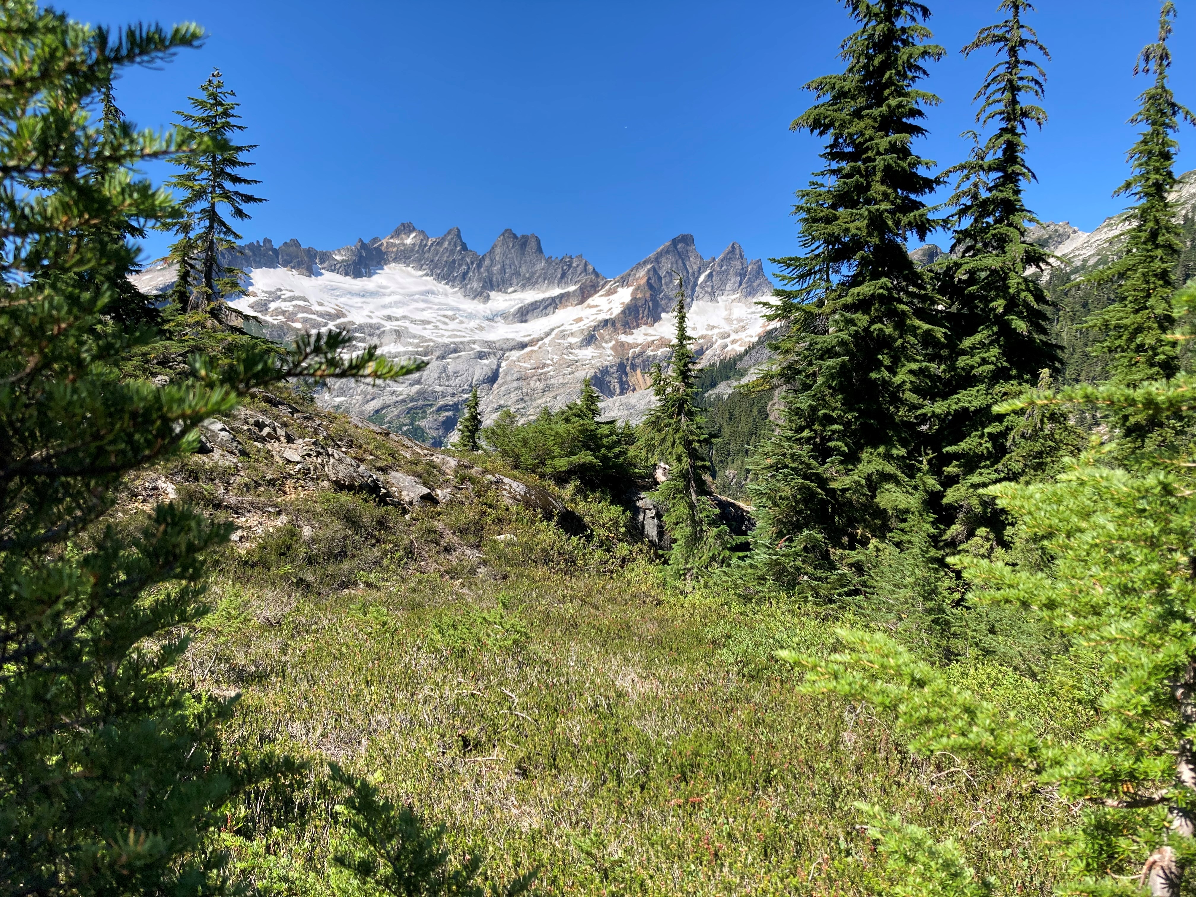
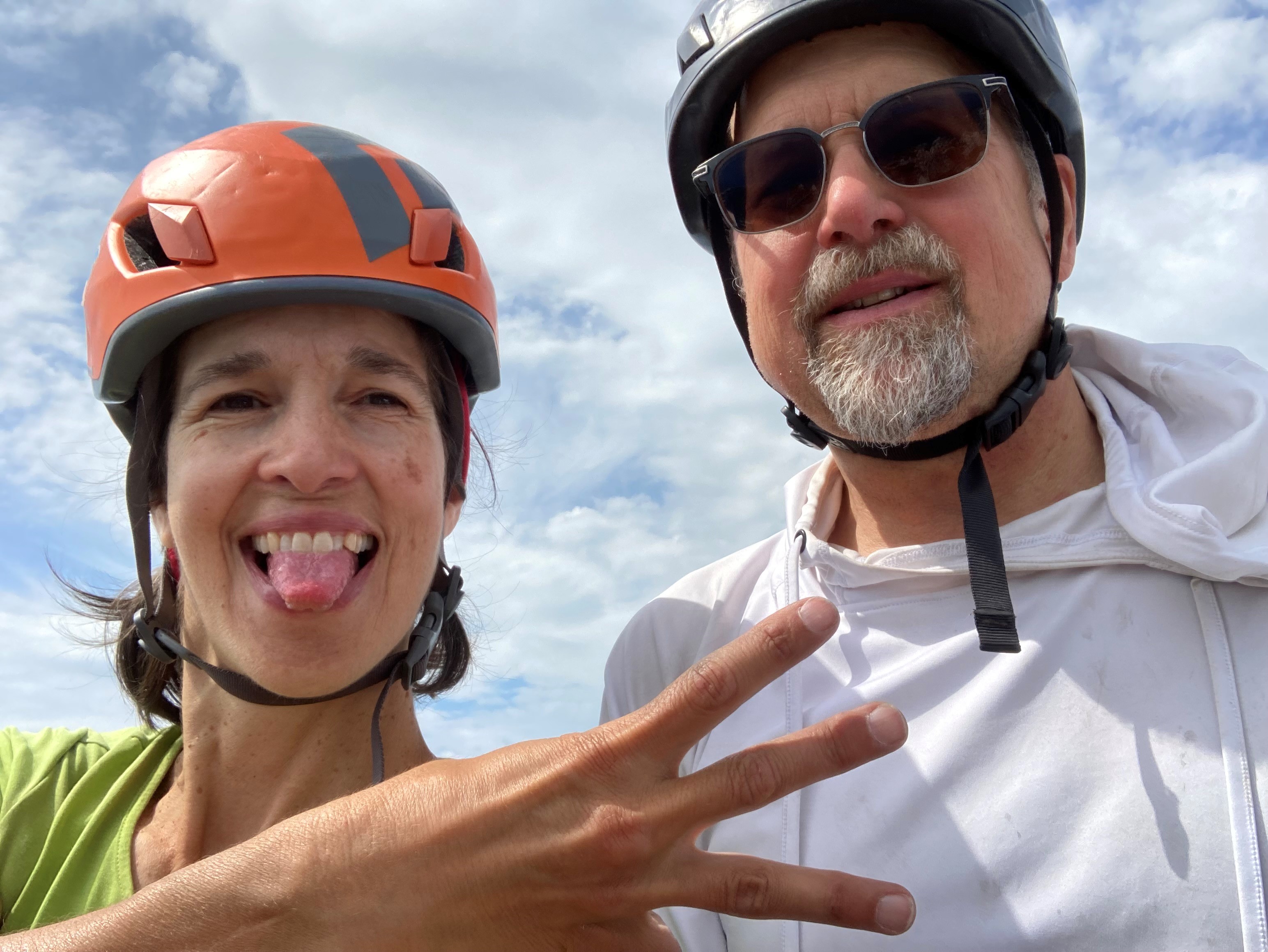
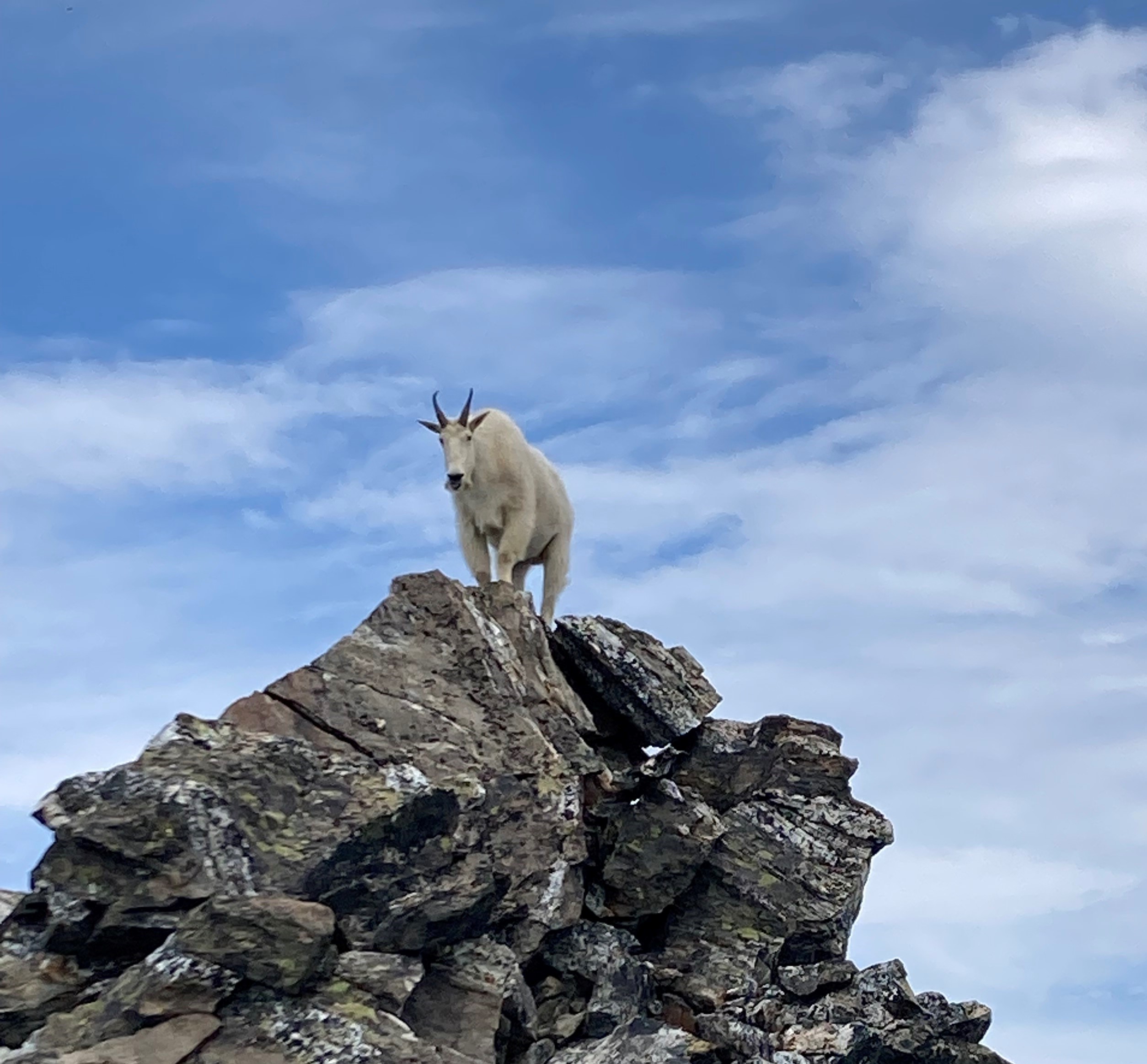
Trip: The Pickets for the Old and Slow - McMillan Spires Trip Date: 08/19/2022 Trip Report: Reading the internet makes it seem like everyone who goes into the Pickets is a total badass doing FAs or enchaining the whole damn range in record time, so here’s a TR for the AARP-eligible among us who perhaps were never all that fast or talented to begin with. Don't expect any useful information. I harangued my friend Gordy into committing to a Pickets trip this summer but he was too busy to go until late season, so mid-August it was. We made a leisurely approach on Wednesday, sweating buckets as we slogged up the hill in the high 80s. Terror Basin was gorgeous in the sunshine. (Note nearly all the photos in this are Gordy’s; he has an iPhone and I have a digital camera from 2009, so his pics are way better.) After a ridiculously civilized wake-up time of 6:30 the next day, we wandered up the slabs to start our day’s objective: East and West McMillan Spires by their SE Faces. This was made more interesting by the necessity of making a free hanging rappel off a snow bollard to access the rock on East Mac. Quoth Gordy, who has at least one FA in Alaska to his name: "I've rapped off a snow bollard twice in my life, and both were in the Pickets." The climbing went quickly as the majority of it was unroped fourth class, and soon we were snacking on the summit looking over at West Mac. We can’t climb enough peaks in a day to make it even remotely necessary to count our summits, so I held up fingers for letters instead. E is for East Mac. We saw a rap sling at the gendarme between East and West Mac, suggesting we should rap down the moat between the snow and gendarme and traverse low, but explored higher and it was easy climbing to get around the gendarme and arrive at Beckey’s “200 feet of fourth class” up the corner, then as I was pulling around the “5.7 bulge” up onto the ridge proper, I looked up and saw this gorgeous local denizen. I didn’t have my camera accessible but he was still hanging around when I brought Gordy up, who snapped this shot. Gordy made me pose for this shot: “Now turn your hips a little that way….” W is for West Mac. The next day we woke to intermittent light sprinkles, which turned to flat-out rain a little before noon. Before it started raining in earnest, we roamed around the basin a bit and spotted the elusive seal of the Pickets. The wildlife there is truly not to be believed. (My photo, you can tell by the crappy quality.) After all the rain on Friday, we decided to just go for Little Mac on our last day as neither of us had done it before and we already had the approach dialed. We made it more interesting by (1) not having any descent beta other than “rap to the col and continue traversing East McMillan spire” and (2) convincing ourselves that the lower vegetated ramp was probably just as good as the higher one and soloing increasing sketchy fourth class until a bit past the point where we should have roped up. I scored the money pitch, which was the nice crack straight up from the ramp. It even had a good spot for a rap anchor, which eased our minds a bit about how we were going to get back down. Gordy following the crack: Gordy led up the final pitch to the top, where we took our last summit shot. L is for Little Mac. At least in this case. We made our way down, adding two rap anchors in the process, packed up and got the crap gully up to the notch behind us before dark, in order to make the last day a tiny bit shorter and so we wouldn’t be above or below anyone else on Sunday when we assumed the other parties would be leaving. A nice camp by a waterfall up in the meadows gave us a stellar view of the Chopping Block in the sunset and rounded out the trip nicely. Gear Notes: Should have taken alcohol. Did take a book (a slender volume), which was nice for the rain day. Approach Notes: The trail to Terror Basin is a highway now, it would take serious effort to lose it.1 point
-
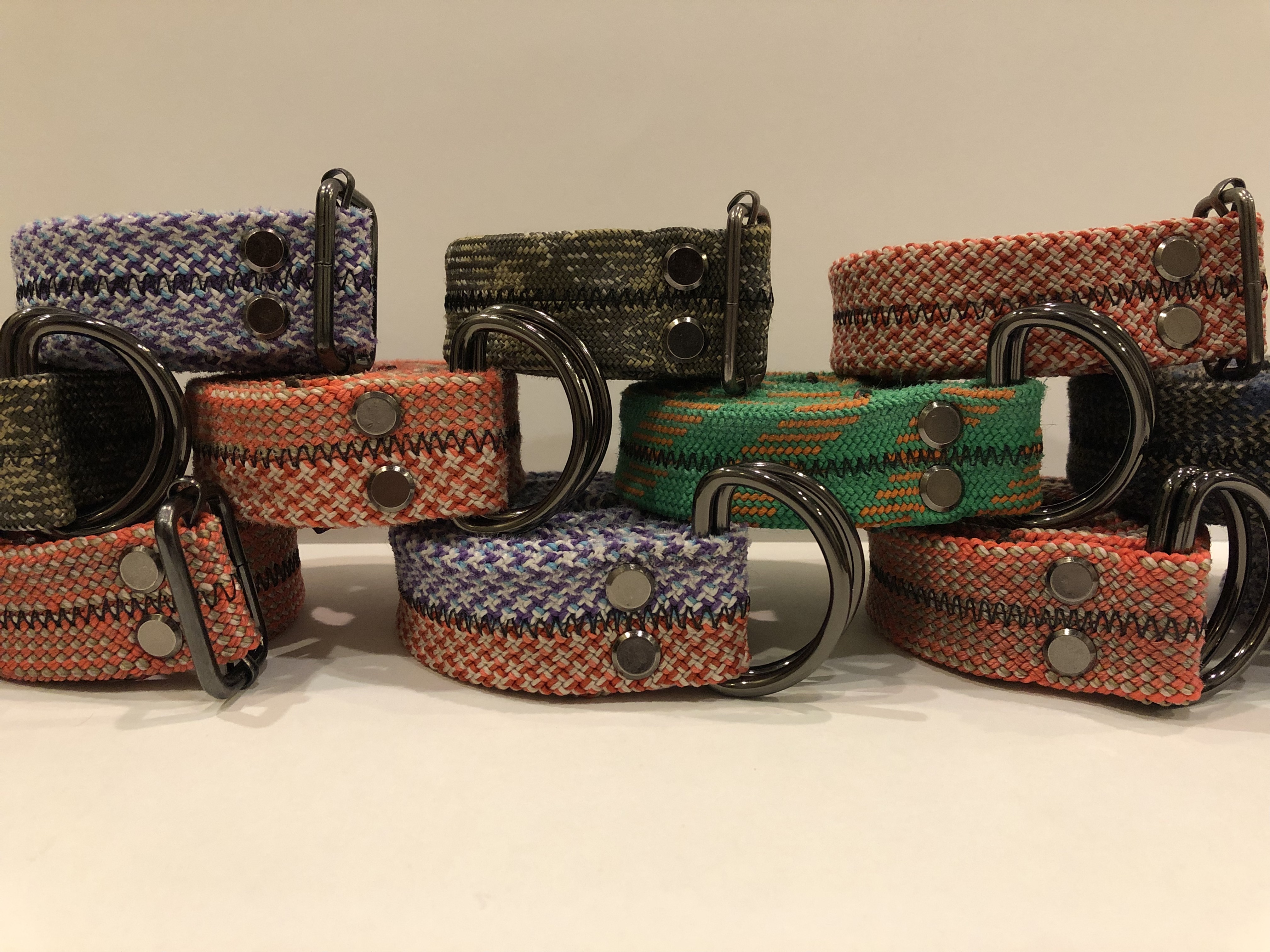
Climbing ropes are not biodegradable, so when they get thrown out, they end up sitting in a landfill for at least 30 years before they start to break down. One way to prevent this is by making them into another good, which they actually lend themselves to due to their strength. I am trying to do this by starting a business that turns them into belts that actually look really cool, so if anyone wants to support this effort, here is my website: https://fitzoutfitters.com/1 point


