Leaderboard
Popular Content
Showing content with the highest reputation on 10/28/21 in all areas
-
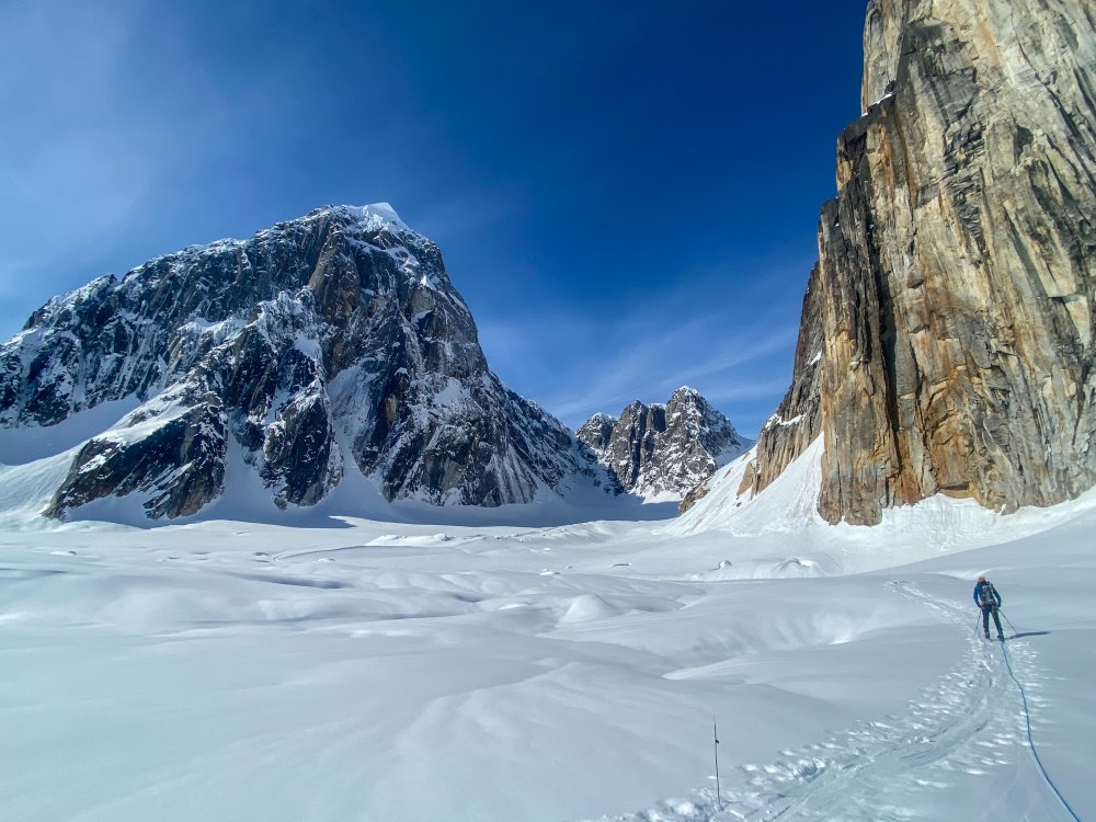
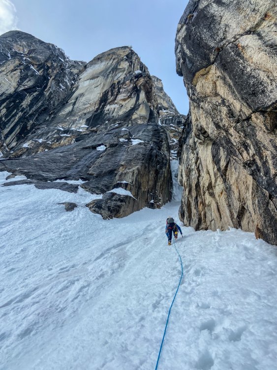
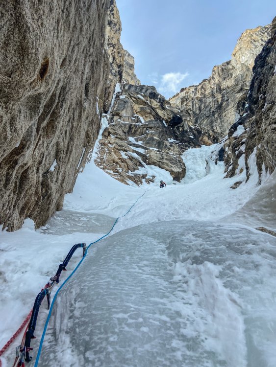
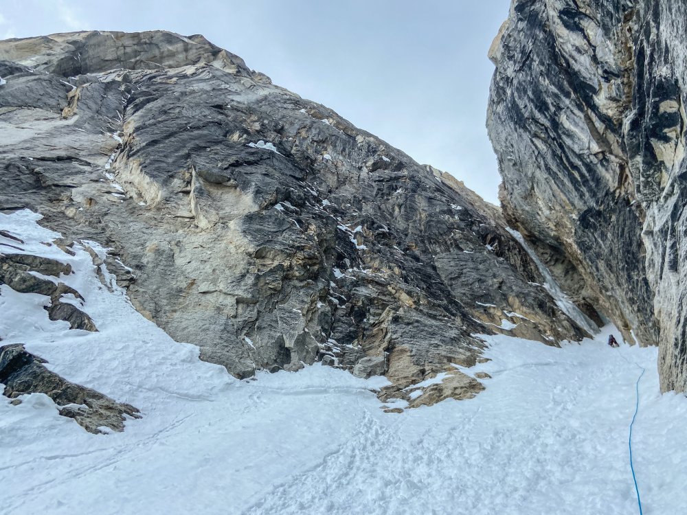
Trip: Mount Torment - North Ridge Trip Date: 08/09/2020 Trip Report: If anyone's noticed, I am not so regular at posting TRs any longer. New job, older kids, a lack of anything new to say.....the list of excuses is long. But, to be honest, this is still my favorite place in cyber-land to post vignettes of my life in the hills. So here I am, slowly plugging away at catching you all up on the riveting adventures of an aging alpine "lifer". In this installment, we pick back up in August of 2020 and on an adventure close to home for both @dberdinka and myself. Jokingly, we said that we would go on a trip wherever arcs drawn in a 60 mile radius from our homes converged. This was not absolutely true for Torment, but pretty darn close. We have an embarrassment of riches right in our own backyards! We typically only ski a few times a year together and had been talking of an alpine climb for far too long. This may have been our first time summer climbing together? But first we had to get a permit! We weren't worried about the Torment Basin zone being full, but we WERE worried about the line at the ranger station. As you all surely must know by now, a August Saturday morning at the ranger station is only slightly less crowded than Mecca during the Hajj. Since it was misting, and we only had to hike to camp, we didn't get there early, probably about 0830. We pulled number 114(??!!) and settled in for the wait. There really must be a better system than what is currently being used. I'll let you tell me exactly what in the comments below. Permit in hand we struck out in the increasingly heavy "mist" for the TH. This is the first hurdle. It isn't marked, and there isn't a lot of traffic up it to make where the trail leaves from the Cascade River Road obvious. Look for it on the left, just after the 2nd bridge over the Cascade River, past the Eldo TH. Space for one car on the right and the trail takes off steeply just across the road. It starts out vague and gets better as you get higher. Decades ago this sounds like it was a major thoroughfare, but it has fallen into obscurity. Yes, you heard me. This is a route in the Cascade River corridor where solitude on an August weekend is possible! I'll let you figure out where the trail is and where it goes, however. Good things come to those who investigate. So I'll skip ahead to arriving a few hours later in the basin. It had stopped raining but was still damp, cool, and cloudy. We wandered for a decent amount of time, looking for established camps. Finding none (obscurity!), we found a flatish slab of rock and cleared the loose stones for an OK night. It didn't help I forgot my pad at the car. D'oh! Nevermind that, I certainly couldn't complain. I was with the one and only @dberdinka on an honest to goodness climb! I was also nervous. You all know how fast, competent, and technically savvy Mr. Berdinka is- I had to buck up and look tough. The alarm went off quite early (did I expect anything else?) and @dberdinka was immediately ready, or so it seemed. I fumbled around the tent for a bit but eventually got it together and we set off in the dim mists for the col that would take us around to the North side of Torment. Be warned that you will need to do one 30m rap to get past an imposing gully of doom along the way. There is a horn for an anchor, but I'll let you find it. Obscurity! And then, you'll need to expeditiously move under and away from a non-daddy friendly ice cliff. Channel your inner Ueli: But don't worry, alpine glory aspirants, at this point you've reached the promised land! Firm rock (4th and easy 5th), outrageous position, and no other parties to ruin your wilderness experience. It really is worth the price of admission. It is an Ed Cooper climb, after all. The only downside to climbs like this, of course, is that they are over too soon. But, we have wives and kids that want us to come home at a reasonable hour, so all good things in moderation. @dberdinka looking fashionable on the summit: As with most North Cascadian summits, there was then the question of which way down? We hemmed and hawed, ultimately eschewing the standard SE face descent (how would the moat be? Would we end up like Craig Luebben?) for the wandering South Ridge (standard approach to TFT). While this isn't a terrible way up, it isn't a great way down. Lots of insecure scrambling between raps where a fall would most likely be fatal. Again, not exactly daddy friendly. But, we survived to reach our camp and the delightful meadows of Torment Basin a couple hours later. And you probably will too. So, next August, don't complain that there are crowds on "all" the classic climbs in NCNP. Go do some exploring! Gear Notes: 60m half rope, light rack, helmet, axe, crampons, etc. We used rock shoes, but you probably don't need them (we didn't know what to expect). The full alpine kit! Approach Notes: The "excellent" Torment Basin route. Green Fred details it nicely. It needs some traffic, however!2 points
-
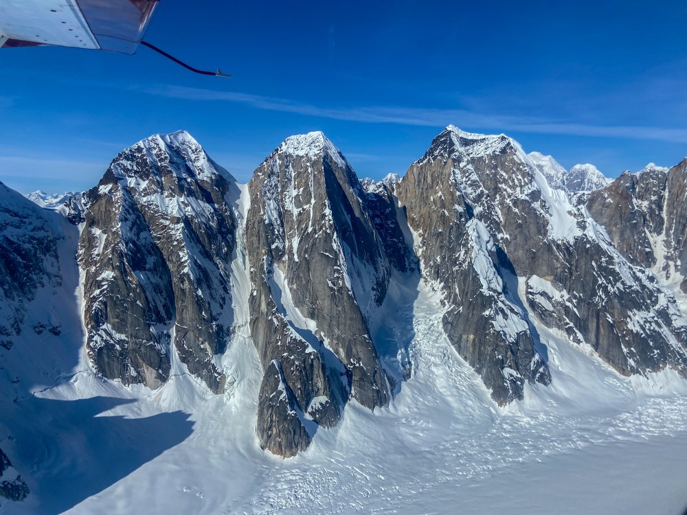
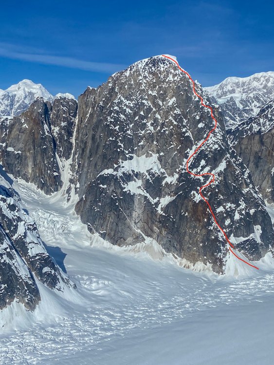
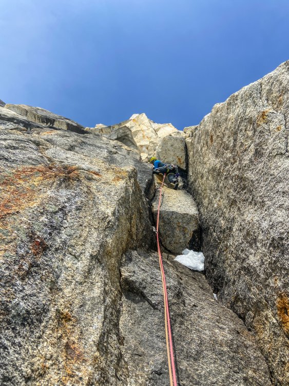
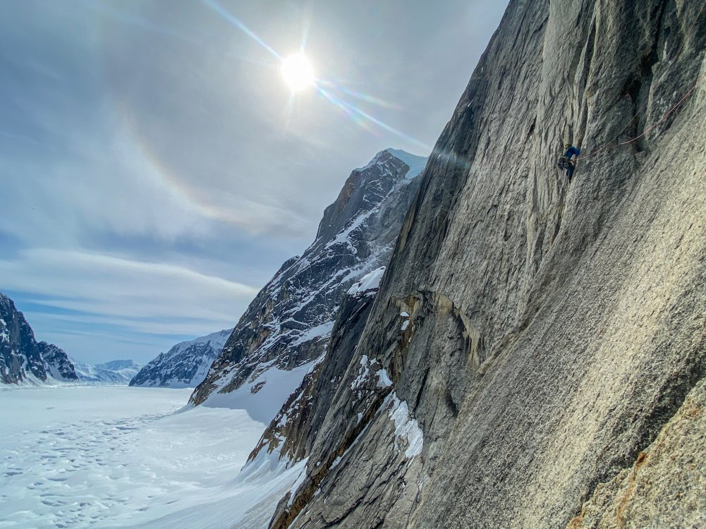
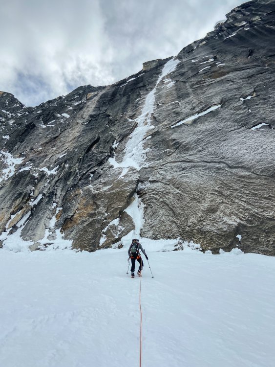
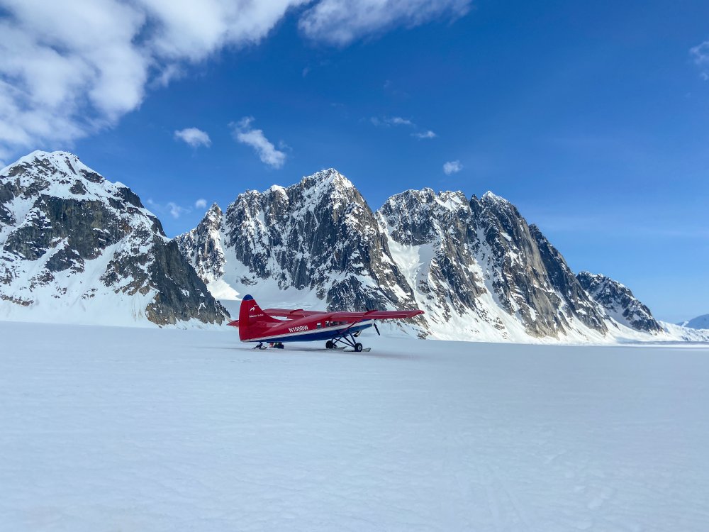
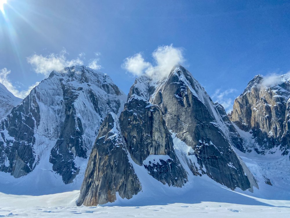
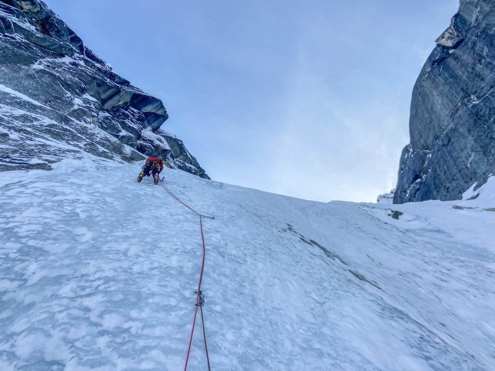
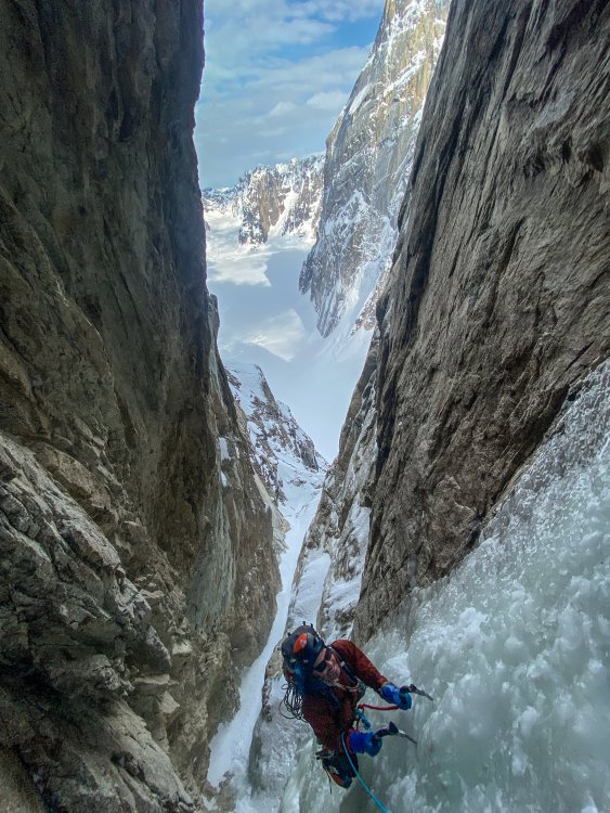
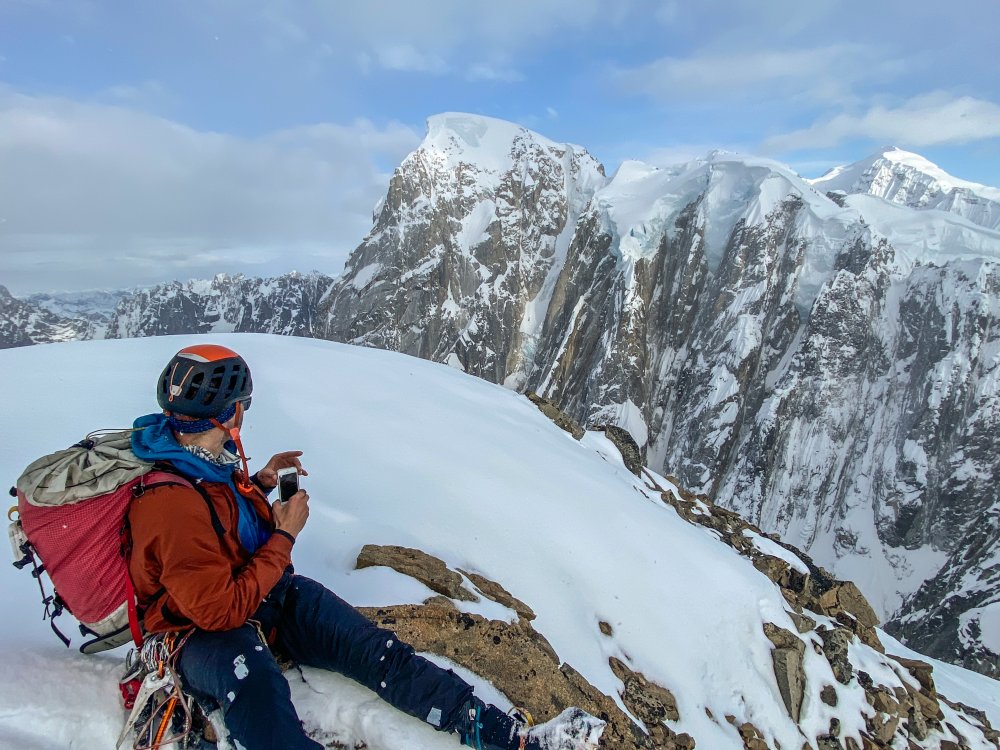
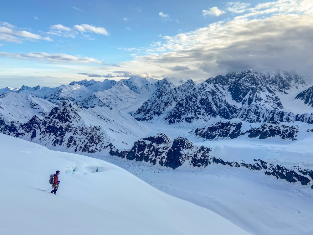
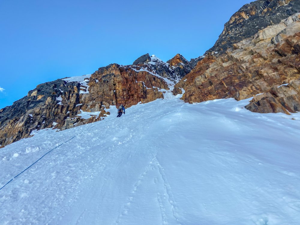
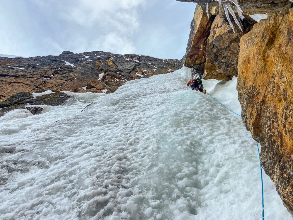
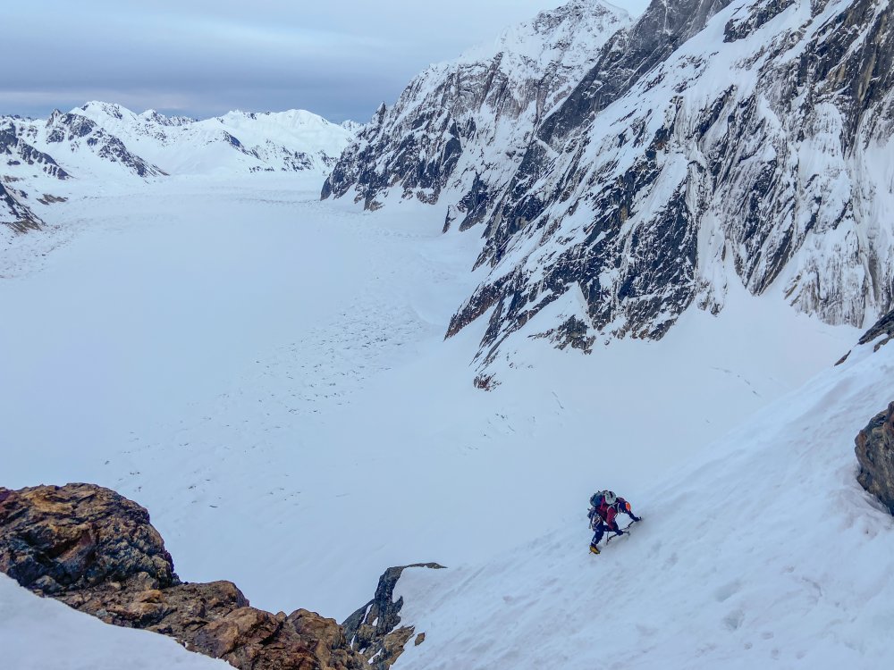
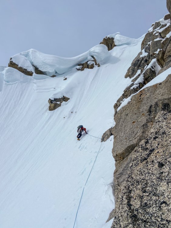
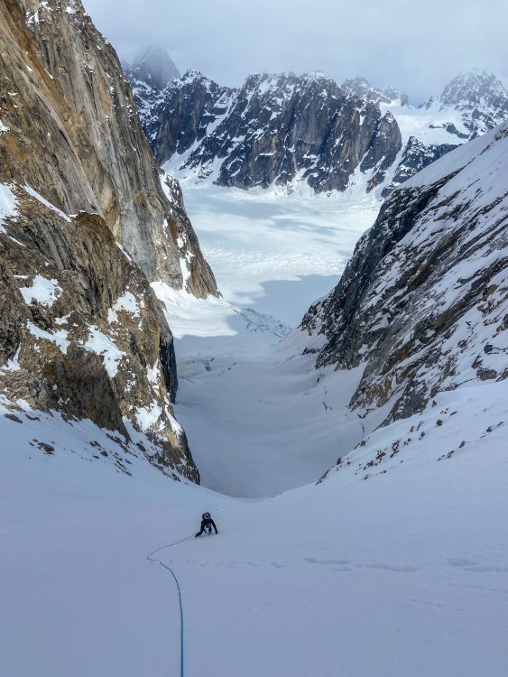
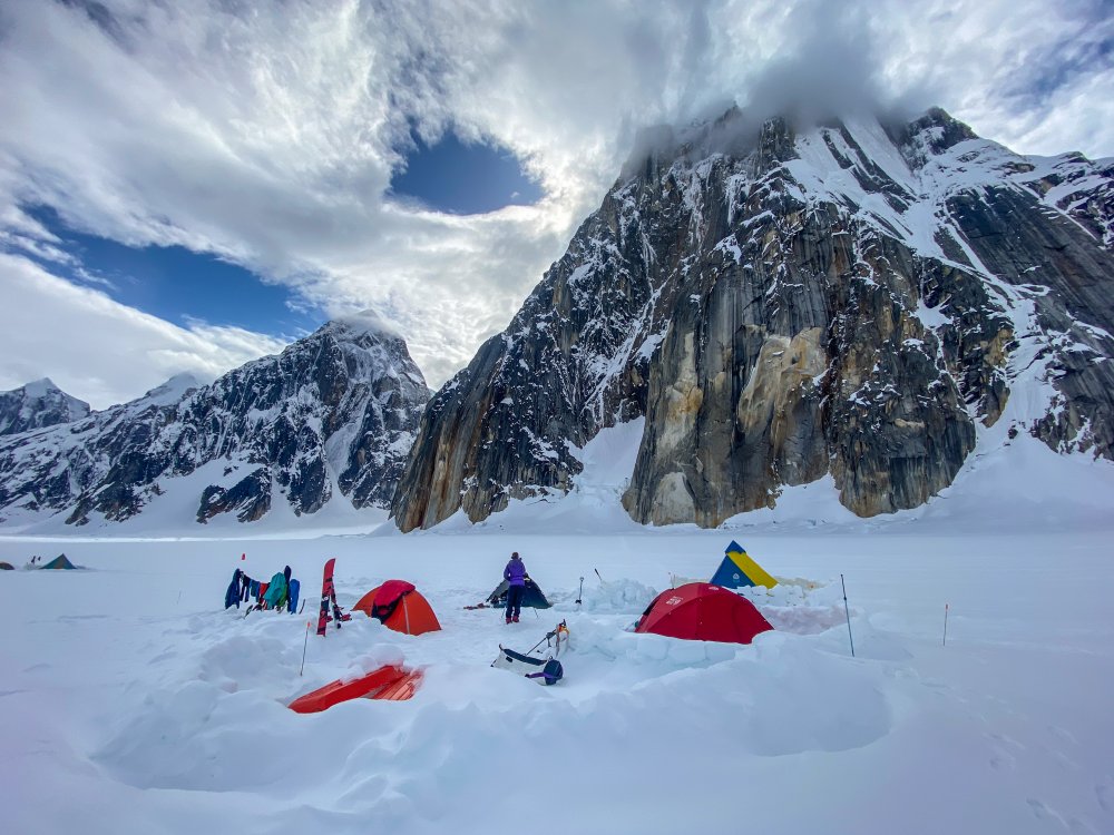
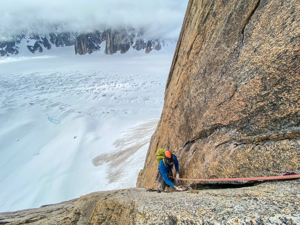
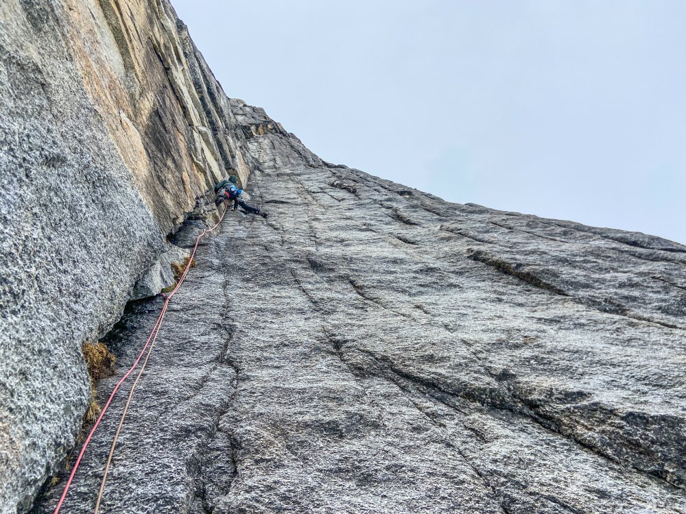
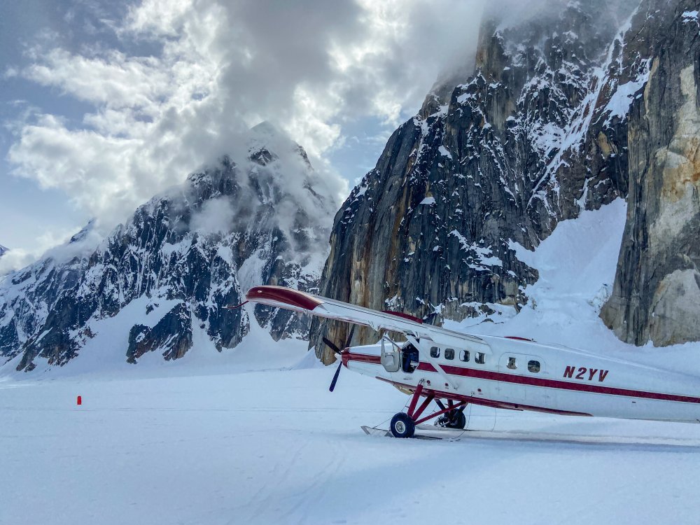
Trip: Ruth Gorge - Kuriositeten and Mount Bradley plus others Trip Date: 04/26/2021 Trip Report: I am a little late in posting this because I had a 3 week Denali expedition right after this trip. So I am just now getting back into the swing of regular life and unpacking. Anyway I figured I would post up a trip report from the Ruth Gorge. We flew in on April 26 to the Ruth Glacier just below the East Face of Dickey. Man that is a face to dream about!! We were a team of 4 that functioned as 2 teams of 2. We just changed up partners a few times based on people’s route choice. The Ruth Gorge was Plan B and we didn’t know we were going to the Ruth until about 4 days prior to flying in. So we were pretty ill prepared with route research and overall beta (with the exception of the classic lines). Grosvenor, Johnson, and Wake (left to right), from the flight in. Talkeetna Air Taxi on the Ruth Glacier with Peak 7400 and London Towers in the background. April 27 - Our first full day on the glacier. It was warm and sunny and I teamed up with Robbie to head for Cobra Pillar and just see how the climbing was. We got up to the top of pitch 5 when the sun disappeared behind the mountain and it started to get cold. We were also less than impressed by the first 5 pitches. When the guidebook says “C1+ rotten or 5.11” you should probably just avoid that pitch! I led it and was literally kicking new footholds into the large granite crystals and hoping they wouldn’t crumble under my bodyweight. Needless to say we had no desire to go back with so much other good looking rock. Robbie on the 2nd pitch of Cobra Pillar. Robbie just after the traverse on Cobra Pillar April 28 - We scoped several lines and tried to generally figure out what lines had been done. Thankfully we had used our phone to screen shot several AAJ articles so we were able to figure out some of it. Our efforts were mostly focused on Dickey and Peak 7400 since they were the closest to camp. Scoping a potential ice line. April 29-30 - weather days. Snowed about 18 inches. May 1 - We scoped lines going south on the Ruth Glacier. Looked at stuff on Bradley, Wake, Johnson, and London Towers. We were starting to get a good sense of snow conditions based on aspect and finally figuring out where everything is. We did climb the opening 2 pitches of The Escalator on Mt Johnson. It was really fun alpine ice and it gave us a good excuse to use the ice tools and screws. There were a couple of steeper smears to the left that we hoped to climb but the ice was only about 2-3 inches thick and there wasn’t any rock pro available. Scoping "The Escalator" on Mount Johnson. Climbing up the first couple ice pitches on The Escalator on Mount Johnson. Great alpine ice! May 2 - Based on the conditions we found yesterday we deemed it prudent to give the mountains one more day to shed snow and get some freeze/thaw going so it wouldn’t be a postholing nightmare. We had brought a telescope so we looked very closely at a couple of lines that interested us and talked about what line to do tomorrow. A couple people of our group went over to check out the first couple pitches of “The Wine Bottle” on Mt. Dickey. Man that is an inspiring looking line! We watched them through the telescope. May 3 - I teamed up with Duncan to climb Kuriositeten (AI5, M3+, 800m). It is a “smaller route” that was first put up in 2008 on peak just left of 747 Pass. At 2500ft it isn’t really a small route but when you see how it looks sitting between the giants of Dickey and Bradley it appears small. The route follows a couloir splitting the east face of the peak. It is a lot of snow climbing but also contains some mixed steps and 3 distinct ice steps ranging from 15m to 70m tall. Honestly it reminded me of some of the climbing in Cody, WY, where you follow a twisting canyon/couloir always excited about what might be around the next corner. The crux is the final step. It is about 70m+ and the first half is pretty dead vertical. Thankfully the ice quality was great and we throughly enjoyed the position deap inside the slot. We had very little beta about this route so had only brought 7 screws. We were able to find rock gear for the beginning belay and then I just ran it out as far as I dared between screws. We still had to break it into 2 pitches as I found myself with only 2 anchor screws left after 35m. Duncan took the upper half and soon we found ourselves on the snow slopes above. This is a fantastic route in the Ruth and should see more traffic! One of the reasons we wanted to climb this route was to recon the decent from Bradley. One of the reports we had regarding Bradley, was to descend the “standard west ridge” but that party bailed down a face after not being able to descend the west ridge. Another report talked about descending to the Backside Glacier and walking way back around through 747 pass. Another report talked about descending the Bradley/Wake Col. To complicate matters CalTopo and Gaia both showed some weird topography anomalies on their topo maps. In fact both showed a 800-1000ft cliff coming off the back side of Bradley that looked very complicated to navigate around. The problem was the topo lines didn’t seem to match what we had heard in reports. Needless to say we were very interested in looking at the descent from the top of Kuriositeten. In the end we discovered that both Gaia and CalTopo were very wrong in their topography. In places it was off by 1000ft. What appeared to be a huge cliff was just a small snow slope that was easily walkable. We couldn’t see the whole decent but we felt much better about things after this day. Skiing over to Kuriositeten. It climbs the big gash on the peak in the middle back. Even though the line is 2500ft tall it looks small in comparison to Bradley (left) and Dickey (right). Duncan starting up Kuriositeten. Looking up from the belay at the top of the first ice step. Approaching the 3rd ice step crux. It is the narrow looking ribbon of ice way up in the slot. Duncan climbing up through the crux pitch on Kuriositeten. A fantastic route in the Ruth. From the summit of Kuriositeten looking over towards Mount Bradley. Descending the back side of Kuriositeten in the late evening light. May 4 - Rest day. May 5 and 6 - For the big goal of the trip we picked Mount Bradley. A couple of our party had started up the East Ridge of Bradley the day I had climbed on Cobra Pillar. They found deep unconsolidated snow on all northern aspects. Even though it is called the East Ridge the first 1/3 of the route is mostly on the north side of the ridge. So with no desire to go up that unconsolidated snow we searched for a new route. While looking through all of our screenshots from the AAJ we found John Frieh’s report about a linkup on Mt. Bradley. He and Dylan Johnson had also found bad snow on the start of the regular East Buttress. So with high hopes we set our eyes on their Link of “Season of the Sun" and the “East Buttress”. They rated it M5/6 and the route is 4500 feet tall. It was warm so our plan was to leave camp in the late afternoon and start the route in the evening. We were hoping that by this time the snow might start freezing back up from the day and we could avoid some nasty postholing by climbing through the night. We left camp at 4pm and but 5:15pm we were in crampons working our way up the initial snow slopes. The Season of the Sun route climbs on the right side of the SE face of the mountain and was originally put up by the Giri-Giri Boys. We were a little concerned about the reported M6 offwidth crux but figured we would take it one step at a time. After about 1000 ft of snow with short steps of rock and ice we arrived at the “crux”. We were pleasantly to find it full of ice (AI3). So after a quick romp up great ice and another pitch of low angle rock we arrived at the 2nd couloir. From here route goes up right then back left across snow slopes and around the end of a big buttress. This leads you into the big central gully about mid height on the face. The original Seasons of the Sun route cuts up and back left to stay on the face while we followed Frieh/Johnson’s variation back towards the East Buttress proper. It was somewhere in here that it got dark. Not pitch black but dark enough to warrant a headlamp when technical climbing. Several mixed pitches in the dark brought us to the East Buttress proper. From here another 2 long fun mixed pitches deposited us underneath a huge boulder. By this time it was getting light again and we were out of water. So we spent an hour brewing up and resting. The rest of the east buttress went by in a blur of simul-climbing including one section where I ran out of carabiners and slings and literally clipped the carabiner with all my nuts to a piton just so I could clip the rope in. We topped out on the summit about 10am. The decent was pretty straight forward although with more uphill than we liked. We just followed the main ridge to the west and then cut down and south to follow a different ridge line back towards the Bradley/Wake Col. Unfortunately this led us to wallow up several northern aspects of unconsolidated powder snow. Nothing like trenching in the afternoon sun when you have been up all night! We finally reached the col and took a short break to drink the last of our water and finish up our food. Then it was 2000ft of easy walking down to the last obstacle…the icefall between Wake and Bradley. From the top of the col it appeared to be less broken up on skiers left. But when we arrived skiers left there was only sagging “snow bridges” and open crevasses. We were able to end run everything far left and then rappel over the last bergshrund by leaving a bomber fixed nut in the rock. Finally home free we trudged wearily back towards the base of the route. The snow was like a trap door. Most steps you were fine but every few steps the door would open and suddenly you would be postholing to your thigh. We were excited to be back to our skis were the going suddenly got easy! Rolled back into camp at 7:30pm for a 27.5hr RT time. Starting up Seasons of the Sun. The M6 offwidth crux....we got lucky with fat ice conditions and easy climbing. Typically route conditions...soloing steep snow. About 1/4 of the way up the route now. Nearing the top of the East Buttress proper......during one of the long simul-blocks. The route up Bradley's 4500ft face. This is a linkup of Seasons of the Sun and the East Buttress first done by John Frieh and Dylan Johnson. Descending back down from the Bradley/Wake Col after climbing Mt. Bradley. May 7 - Weather day. Snowed off and on all day. May 8 - Snowed a bit then cleared up in the afternoon but wasn’t enough time for much more than a casual ski. It was warm again. We watched several ice lines we had been looking at fall off the walls. Our camp below the east face of Mount Dickey. Mount Bradley is just to the left of center in behind. May 9 - With the warm weather we opted for rock climbing. But the sun didn’t burn the clouds off until noon so we got a late start. We decided on Goldfinger which is on the Stump. We started climbing and were happy to find good quality rock. The rock quality was WAY better than the first few pitches of Cobra Pillar. Unfortunately due to our late start we lost the sun and our warmth about the top of pitch 6. We contemplated going a few more pitches but opted to just call it since it was unlikely we would top out anyway with such a late start. The climbing was very good though and it would be a classic anywhere in the lower 48. Coming up to the belay at the top of Pitch 2 of Goldfinger. Climbing pitch 6 of Goldfinger. It is fantastic climbing on very good quality rock! May 10 - With bad weather in the forecast for the next several days we opted to fly out. Several of the team members had flights out of Anchorage on the 13th so we didn’t want to be stuck on the glacier and miss flights. TAT here to pick us up. The ever changing clouds giving Mt. Bradley a moody look as we departed. Gear Notes: Alpine rack, heavy on screws for ice routes, heavy on cams for rock routes. Approach Notes: Fly in with Talkeetna Air Taxi, then ski/hike to climbs.2 points


