Leaderboard
Popular Content
Showing content with the highest reputation on 09/16/21 in all areas
-
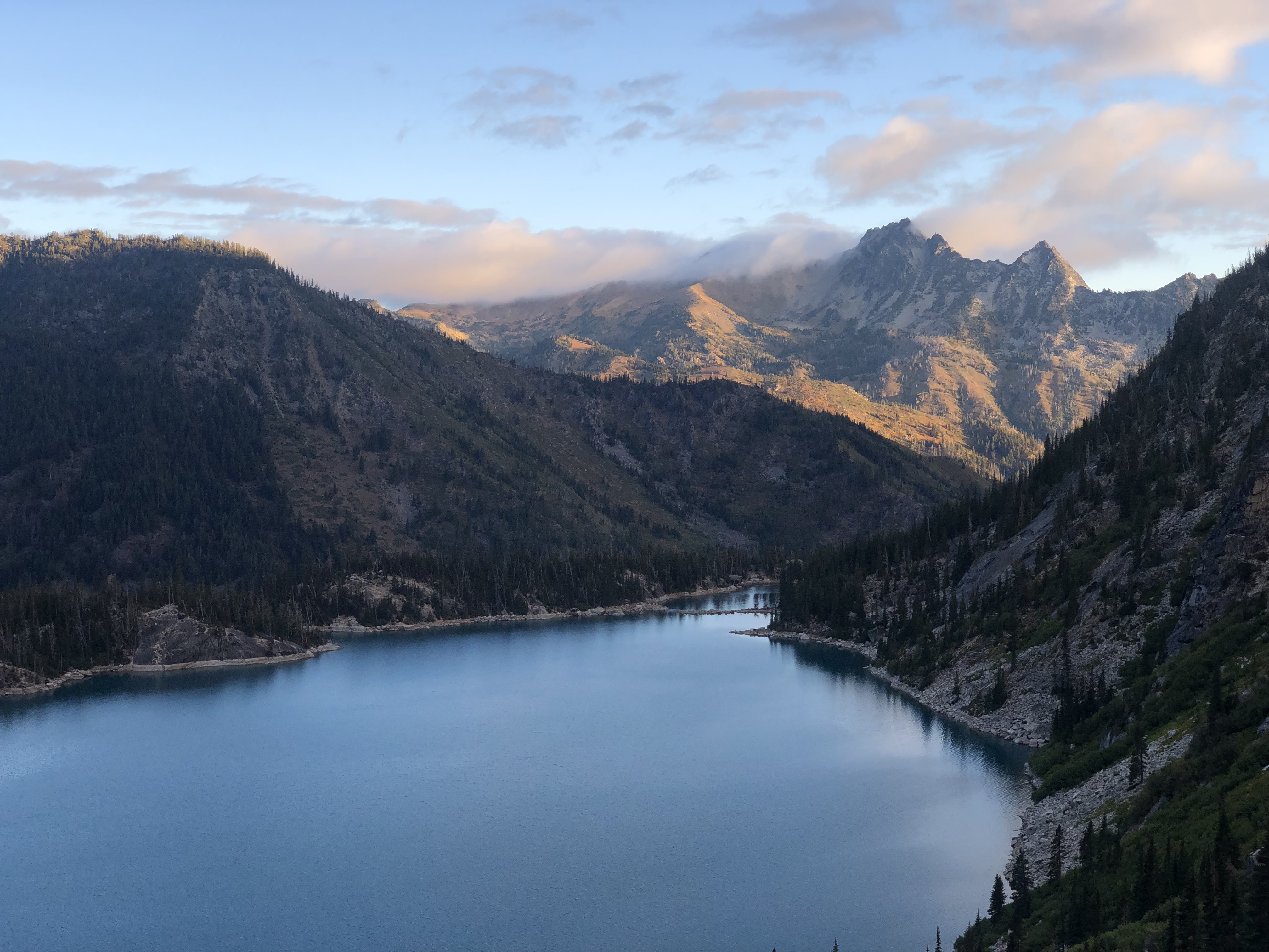
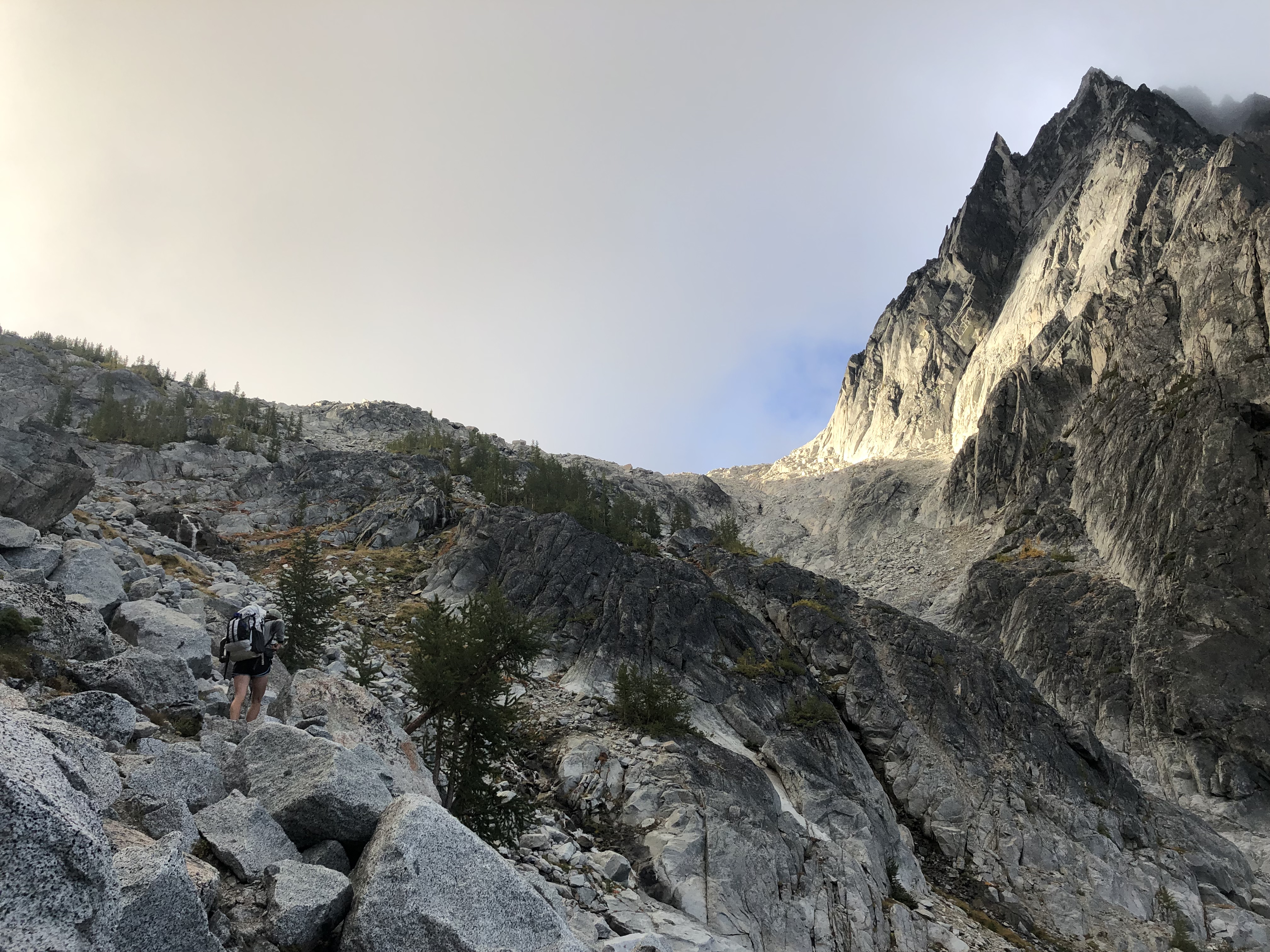
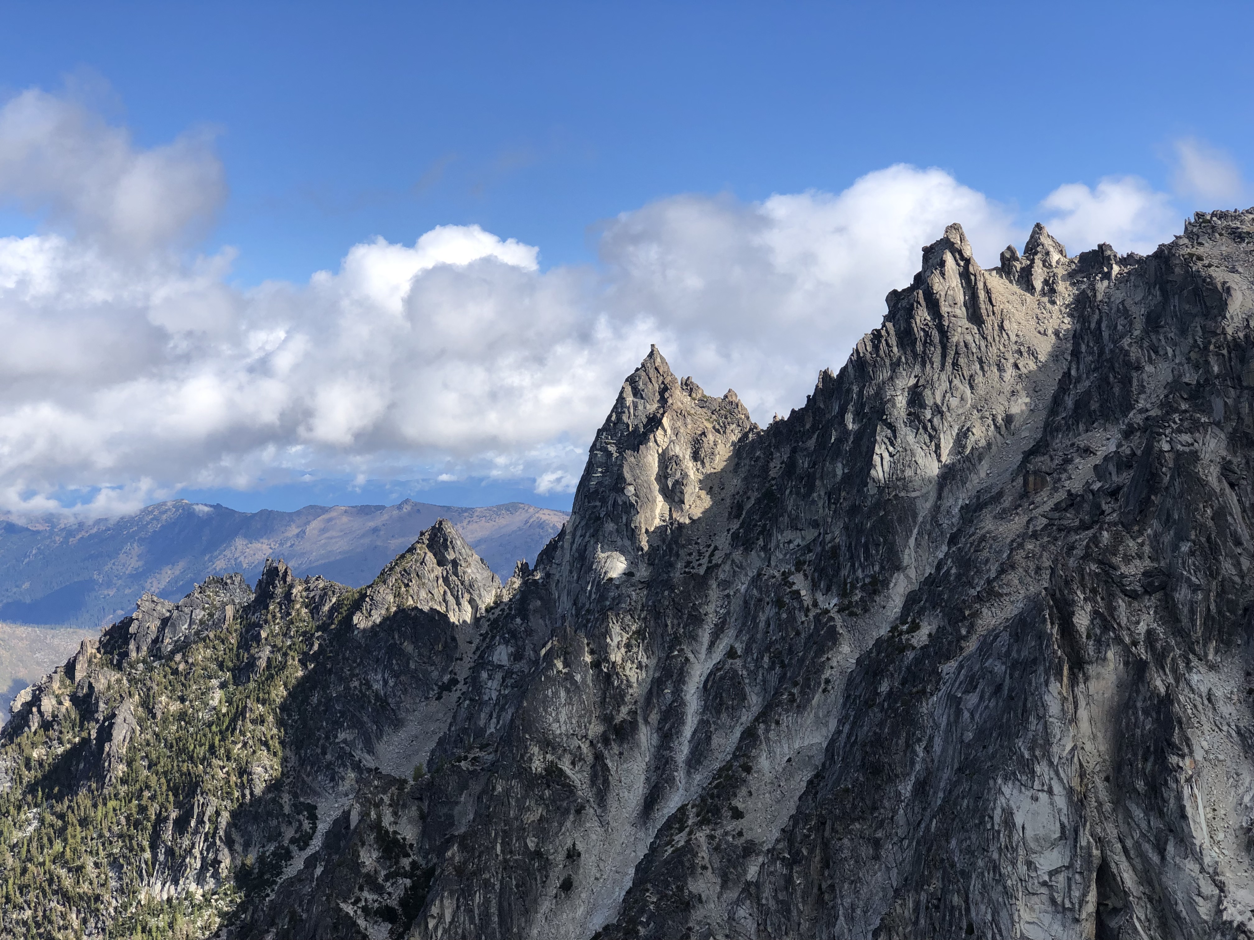
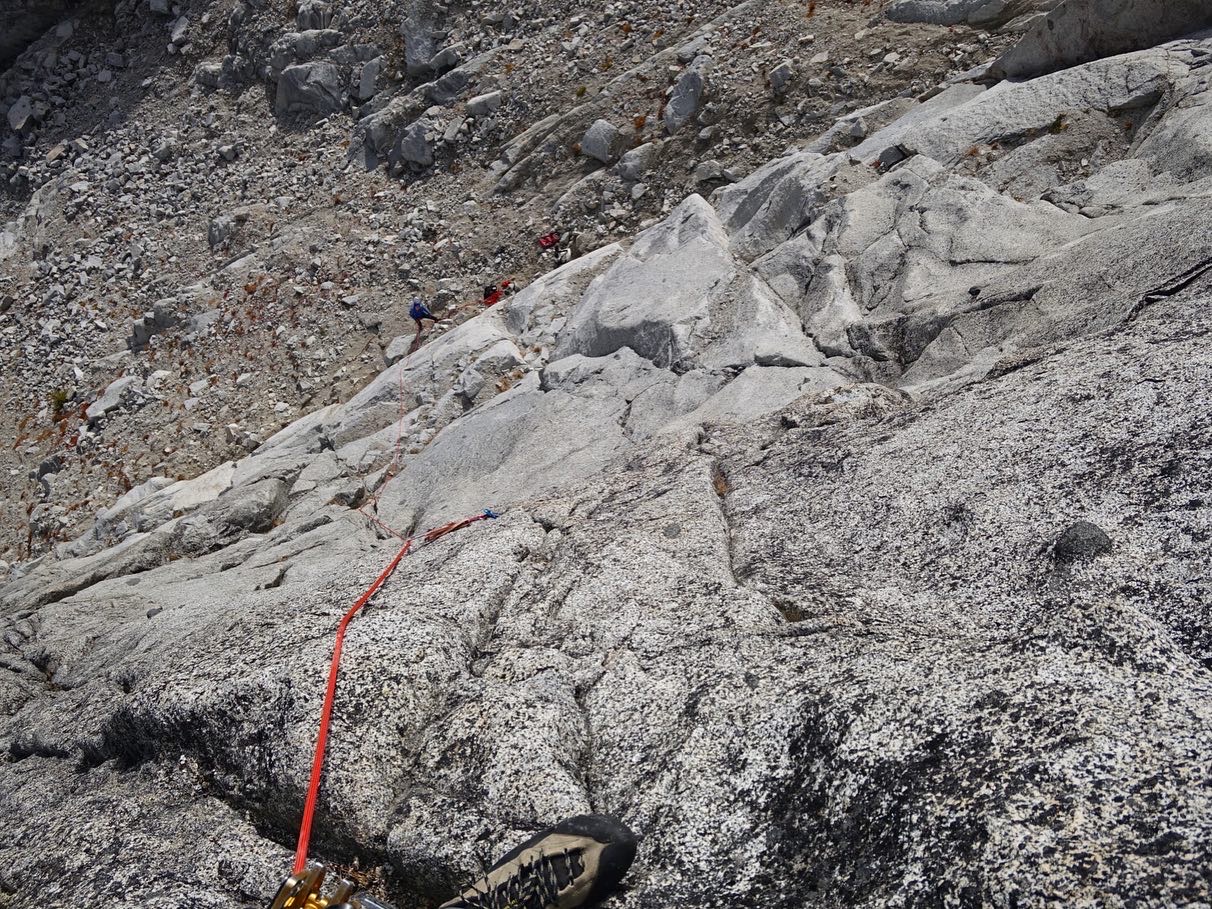
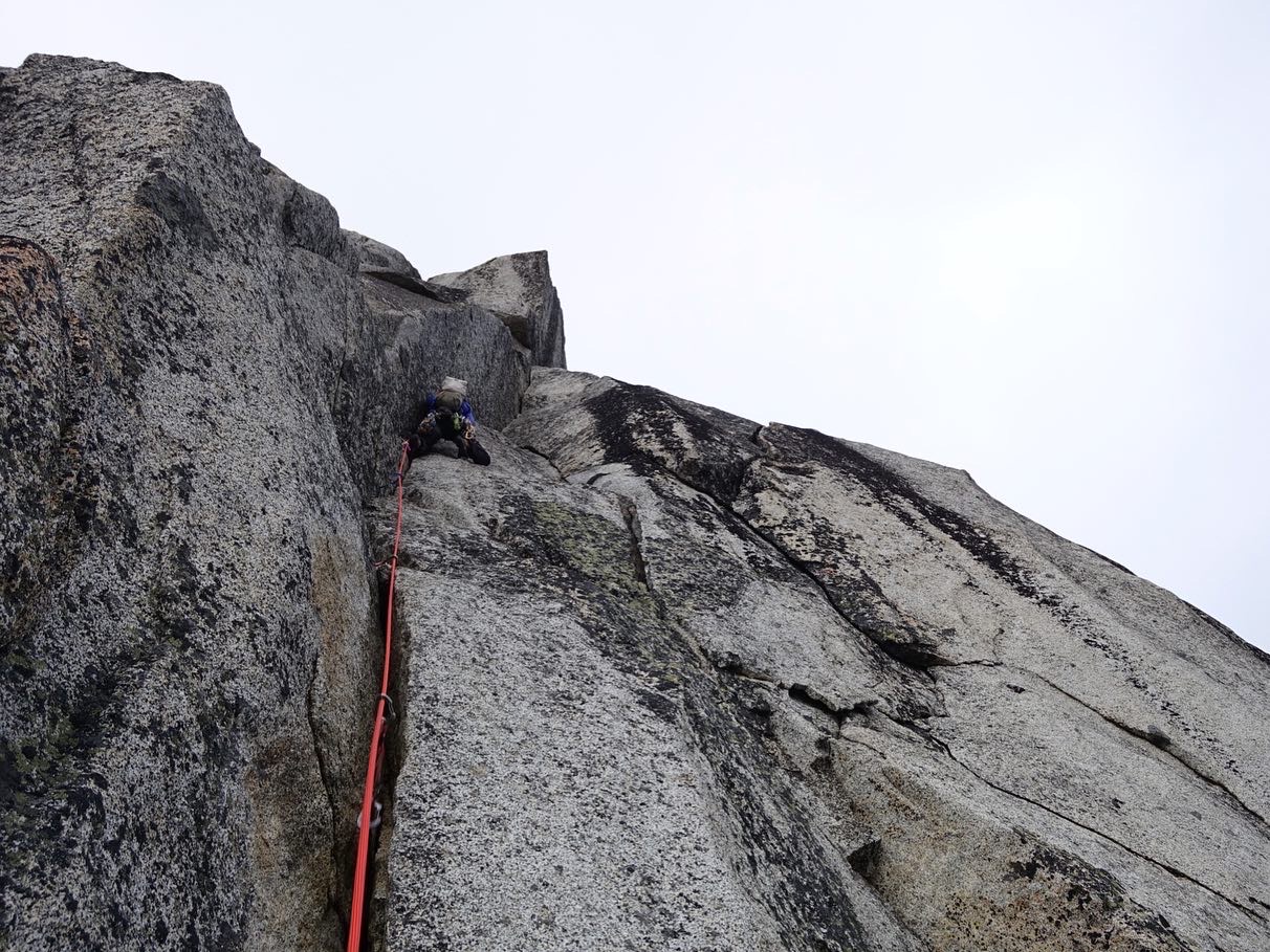
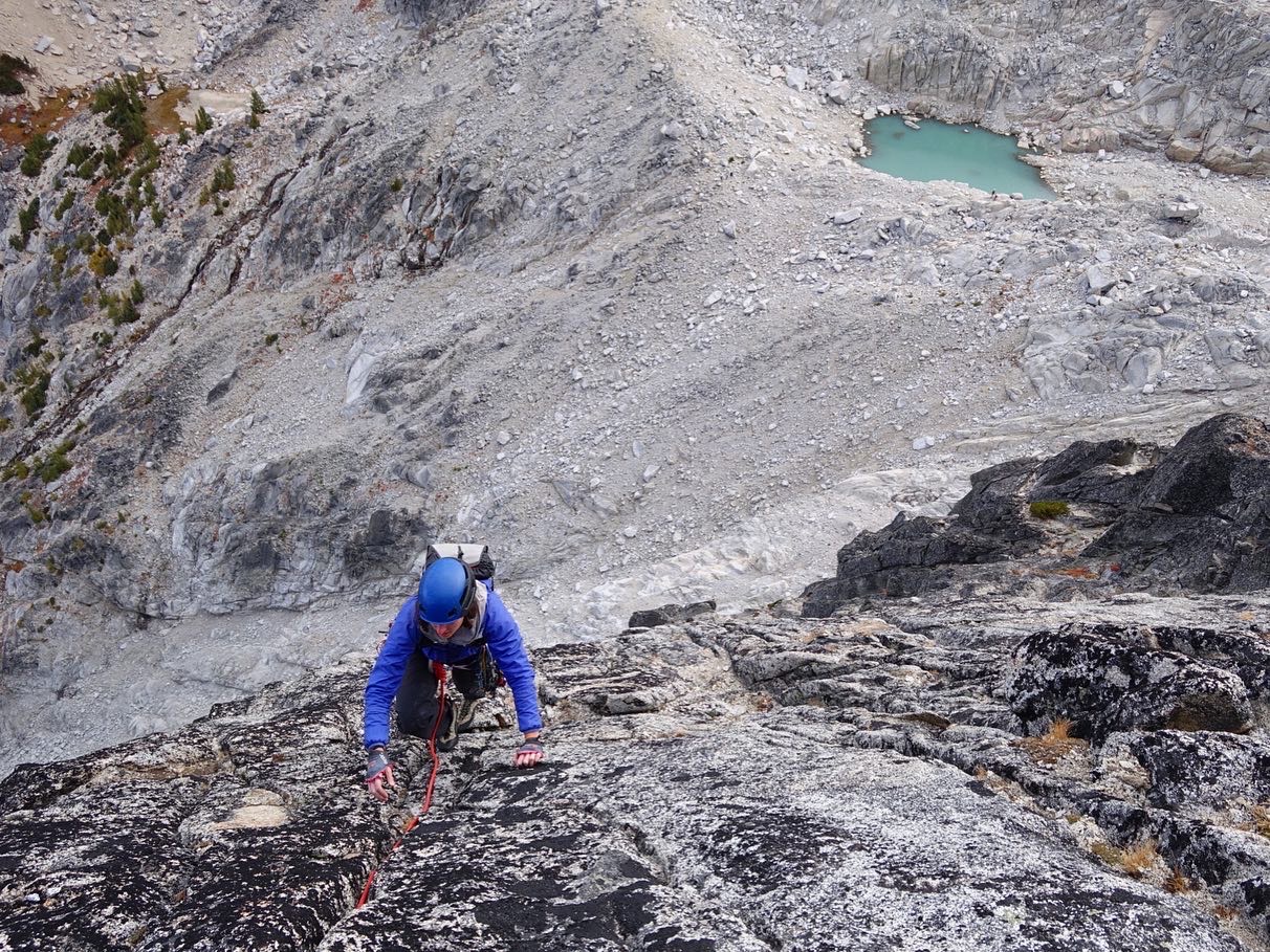
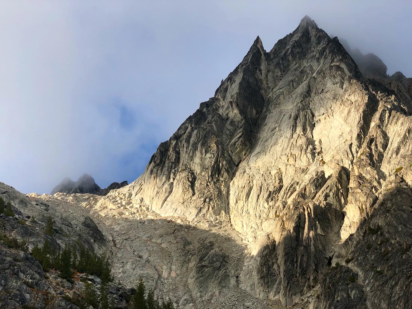
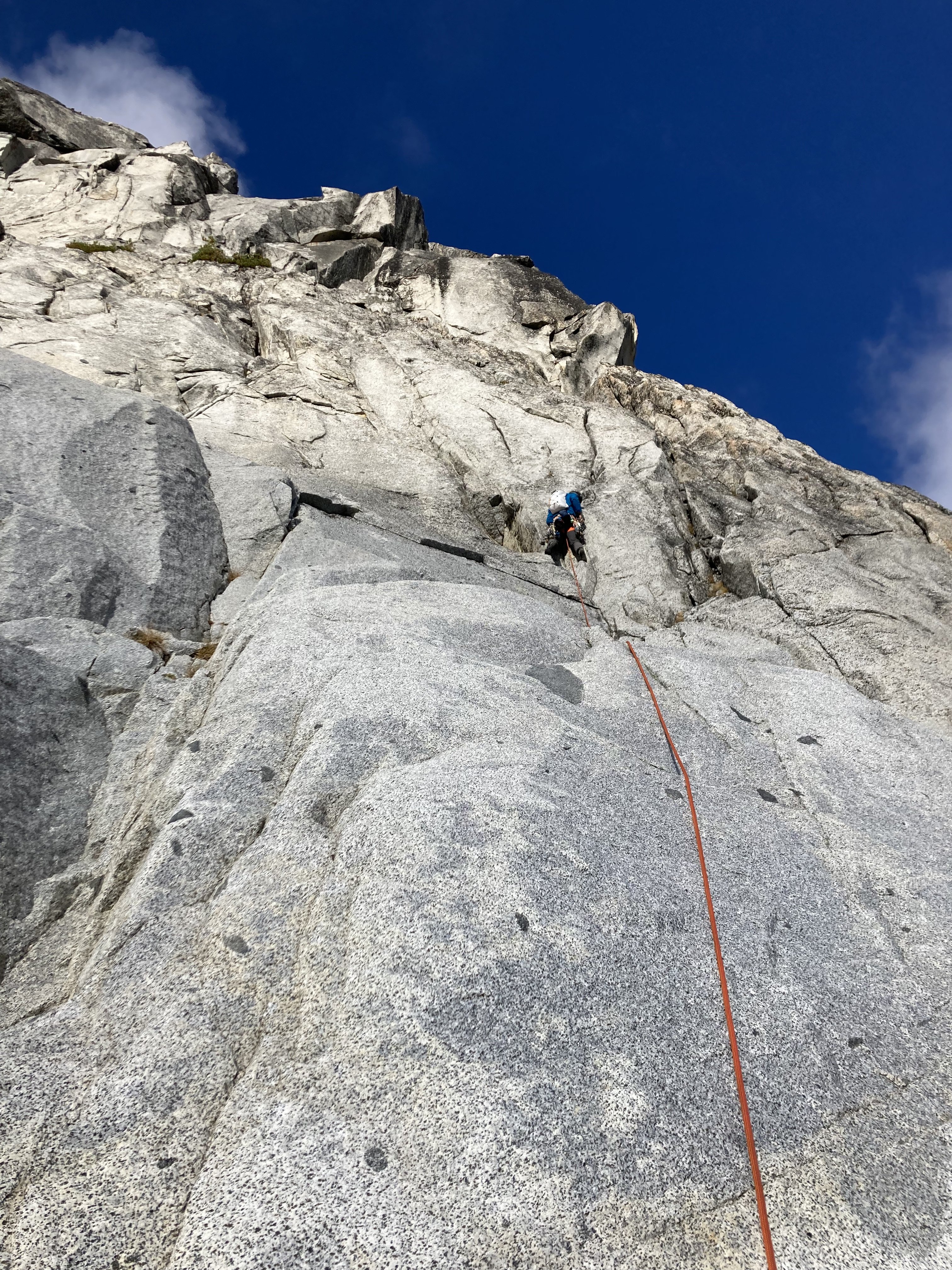
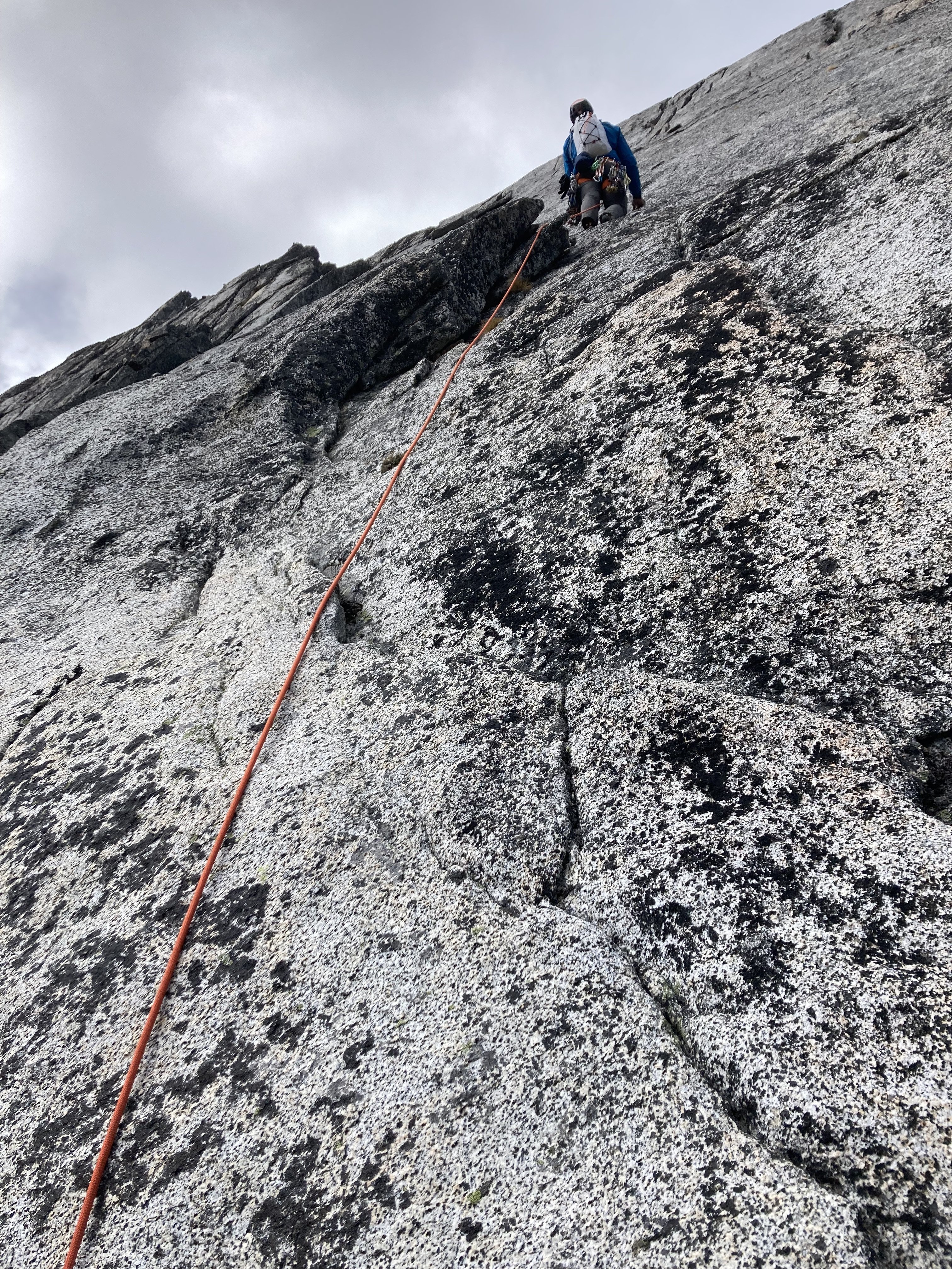
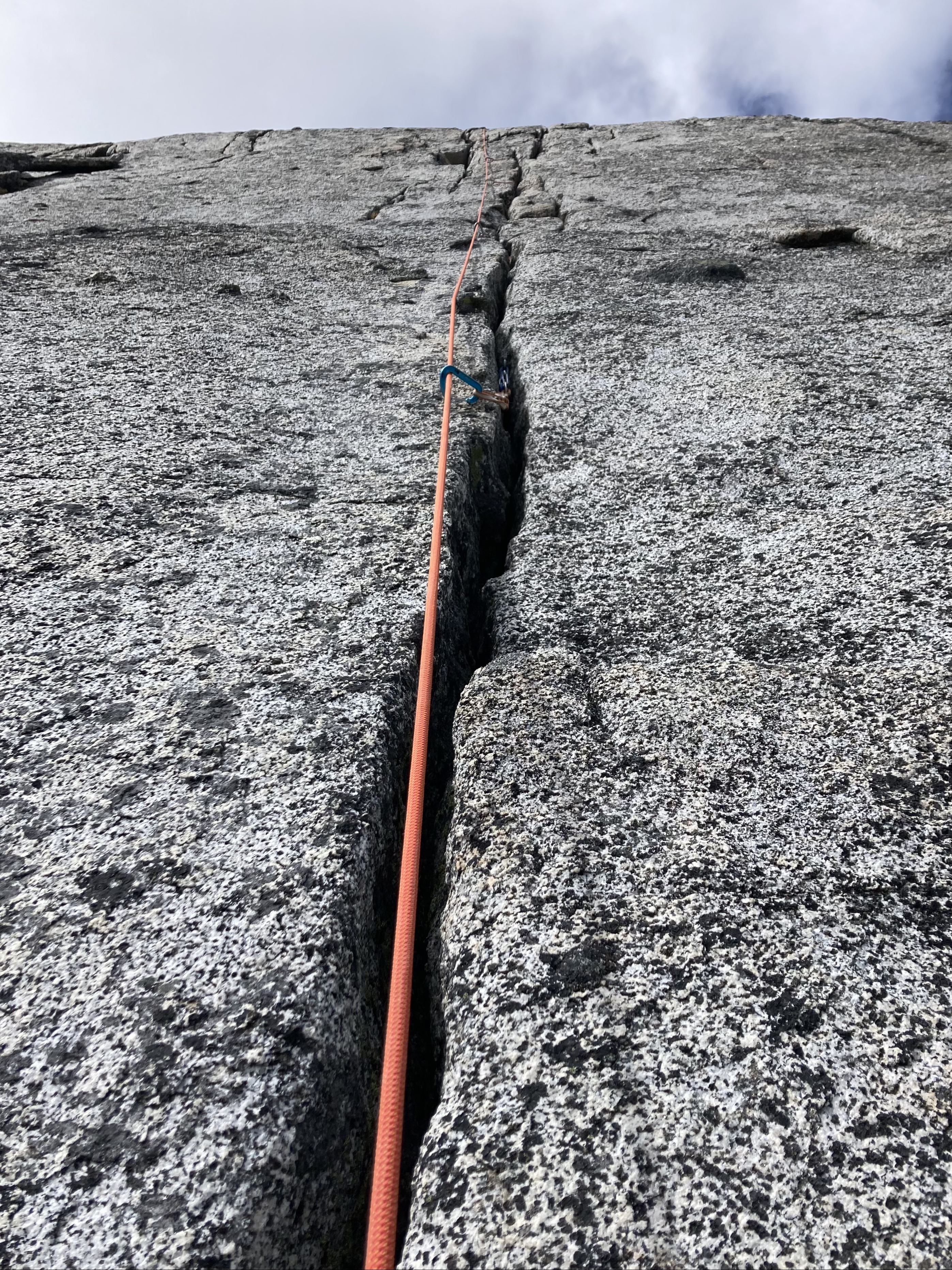
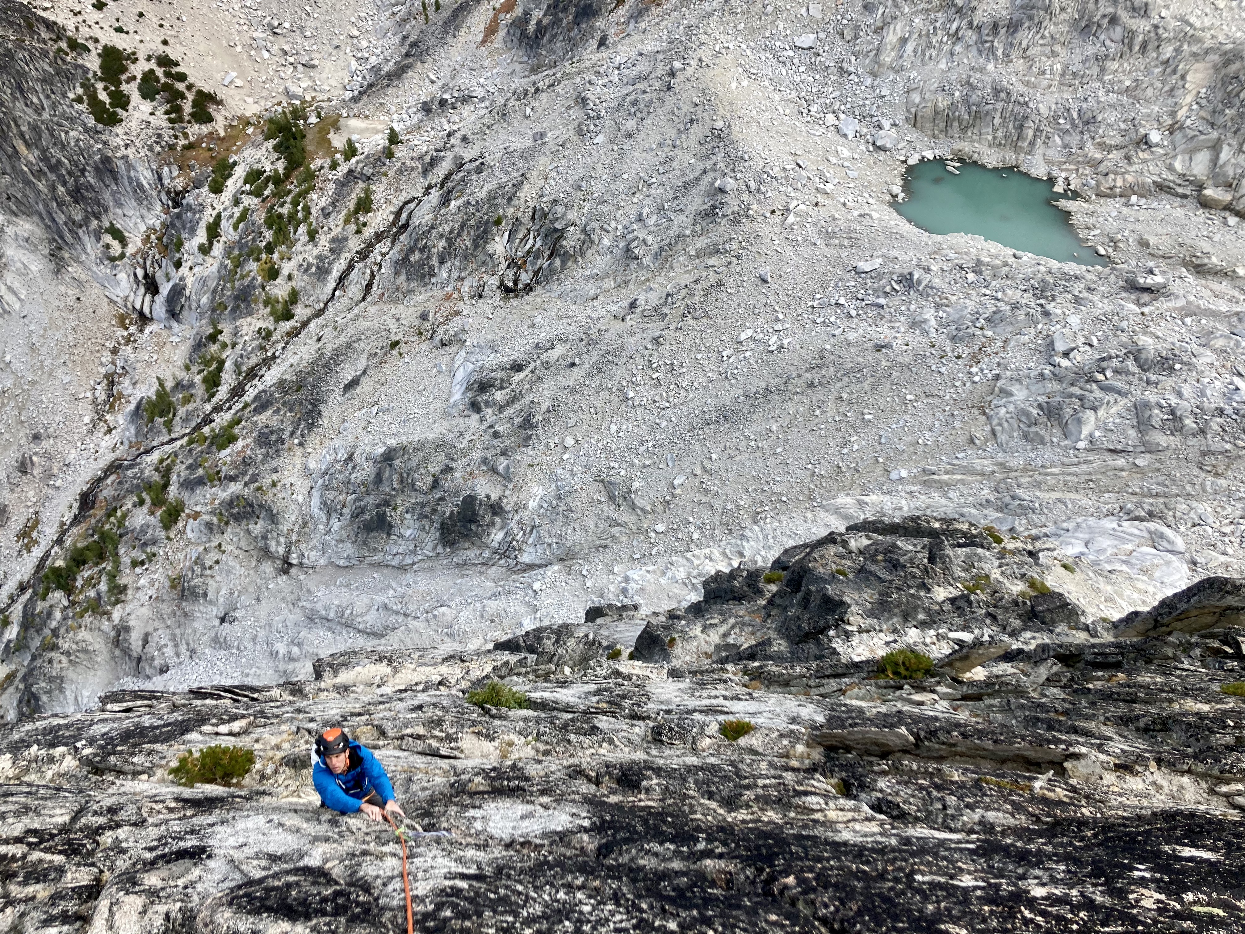
Trip: Dragontail Peak, NE Towers - This, My Friend Trip Date: 09/12/2021 Trip Report: Yesterday Kat and I climbed "This, My Friend" on the east aspect of Dragontail Peak. The route is only a year old at this point and is getting alot of attention, for good reason. Hats off to the FA party for the vision and the work cleaning this thing up. Its five pitches and all but a short connector pitch are 55m of clean, fun climbing. We got moving at the trailhead around 5am Sunday morning and reached the base of the route around 8am. I lead the first pitch which is also the crux of the route. The general consensus of this pitch so far is that its 5.10-. It starts with really easy climbing then heads straight up a shallow, flaring thin hands and ring lock crack followed by slightly easier terrain. Pro is tricky on this pitch, but I found three bomber #1 placements. From there Kat lead pitch 2, THE money pitch and an absolute gem. A full rope length of 5.9 awesome finger locks and perfect hands. Stupid good. After that, Kat lead the 5.meh connector pitch to the base of the headwall so I too could have a money pitch. Thanks again Kat. Pitch 4 goes up a clean headwall split by a 5.7 varying crack, mostly hands. Awesome jams peppered with knobs all around it. Pitch 5 is wandery 5.7 crack and face climbing to the summit of the East Pinnacle. From there we followed the descent description trending southwest down ramps and ledges to the Dragontail trail. We found a way that stayed in 3rd or 4th class terrain with only one spicy no falls allowed section. I built some cairns along the way. Its a quick hike back to the base following the Dragontail southside trail to Asgard. We got back to the base around 2pm. We both climbed with little packs to carry our shoes, puffies, and a little water. That all could fit on your harness if you want but I liked my harness being a bit less crowded. None of the climbing felt cumbersome with a small pack. The hike out went just fine and got back to the car around 5:30pm. This is an awesome route that will no doubt become a crowded classic due to the quality moderate climbing. Me starting the first pitch. it veers left from here: Part way through the first pitch: Kat on the 2nd pitch: Me starting up the pitch 4 headwall. Kat photo of the headwall cracks: Kat coming up the final moves of the Pitch 4 headwall: Last Pitch: Me coming up the last pitch: Coming down the steepest part of the descent: Gear Notes: 60m rope. At least a double rack of cams .2-2 and one #3. Metolius 00-1 proved quite useful too. With this route triples of certain sizes would not go unused. We had triples of .4-2, which we thought was just a bit overkill. If doing it again I'd bring triples of .75-2 instead. Selection of small to medium stoppers. 10 alpine draws and 2 double length slings. Seasonally dependent snow gear. Approach Notes: Colchuck Lake to Asgard pass. Cut over headed west on scree and talus at approximately 7300-7400'.1 point
-
Trip: Cashmere Peak (8501') - South Ridge Trip Date: 09/11/2021 Trip Report: Cashmere Peak (8501') – Eightmile Lake Trail Approach – Sept 11-12, 2021 (Sat, Sun). The weekend weather in the Leavenworth area was looking good. I texted DanO and he was game for a climb. We headed for the Alpine Lakes Area, why not, everyone else was. We climbed Cashmere Peak (8501') over the weekend. We started the climb from the Eightmile Lake Trailhead off Icicle Creek Rd. Saturday: We headed out from the trailhead (3280’) at 7:00am. The trail is in good condition, lots of traffic. We stopped at Little Eightmile Lake for water (4400’) since we had heard the next section up the burn area was dry. Turns out there were 2 water sources we passed going up the burn area. We were ready to cross a lot of downed trees on the way up the burn area as reported in a recent trip report. Turns out many of the trees have been cut out of the trail since the August trip report I had read. We crossed maybe a dozen downed trees the entire trip. 11:15am we reached Caroline Lake. We headed up toward Windy Pass. We came across water around 6500’ on the trail up. We reached Windy Pass and started looking for a suitable camp spot arriving at 2:00pm (7250’). We decided to go for the summit since we had the time and the weather was looking good. We followed the trail along the ridge through some boulders and up to the base of the South Ridge of Cashmere. DanO decided that was good enough for him and would wait for me to summit and come back. I climbed the South Ridge of Cashmere. The rock was pretty nice quality Class 3-4 with some exposure, much better than dealing with the loose rock below in the gullies. I summited at 4:30pm, great views of the surrounding peaks of the area. We made it back to camp on the ridge at 6:30pm and enjoyed the beautiful evening. Sunday: We left camp at 8:00am and made it back to the trailhead at 12:15pm. This is a nice climb with an easy uphill approach on good quality trail with some fun rock on the ridge to the summit. Some Tips and Notes: 1. There are a couple water sources on the way up the burn area. 2. There are some downed trees along the burn area, but not that bad and fairly easy to pass. 3. Last running water access was around 6500’ on the way up to Windy Pass. 4. There is no snow to cross on route. 5. There is not much in the way of route finding until you are at the base of the South Ridge of Cashmere, just follow the trail up the ridge. 6. The South Ridge of the summit has good quality rock, Class 3-4 with some exposure. 7. There are several bivy/camp options along the ridge above Windy Pass, bring enough water the ridge is dry. Travel Time for reference: Saturday: Trailhead to Windy Pass Ridge Camp to Summit & back to camp – 11.5 hours. Sunday: Camp to trailhead – 4.25 hours Total Mileage: about 19 miles Total Elevation Gain: around 5400’ Gear used: Trekking Pole, Helmet. Up the Ridge from Windy Pass. Rocky Spires along the Ridge. Crossing the boulder field. At the base of the South Ridge of Cashmere. South Ridge of Cashmere. View into the Enchantments area. Gear Notes: Trekking Pole, Helmet. Approach Notes: Eightmile Lake Trail to Windy Pass to South Ridge of Cashmere1 point
-
Nice report and pics! Your annotative efforts should ease some pilgrimages, but only so much ... that zone around Despair is quasi-Pickets. An interesting fact, as you likely know: the line you climbed (and peak) was Beckey's first, first ascent. Climbed that same route (or something like it) with snow on it earlier this year, also recommended. Whatever the season, it's a substantial journey with a payoff--such a beautiful area. @JonParker: After rat and I climbed N Despair via its eastern buttresses ("bipolar buttress", TR on this site), we descended to the notch between the two summits before dropping to the west and exiting via Triumph Pass etc. A continuation of the climb up the N ridge of the S summit looked feasible; it might require some roped climbing. Lacking time, we left that on our to-do list--would love to hear about someone sending it. Here's a pic of the N side of the south summit from near the notch: https://photos.app.goo.gl/cuomjfrLnMmgUCpY71 point


