Leaderboard
Popular Content
Showing content with the highest reputation on 06/04/19 in all areas
-
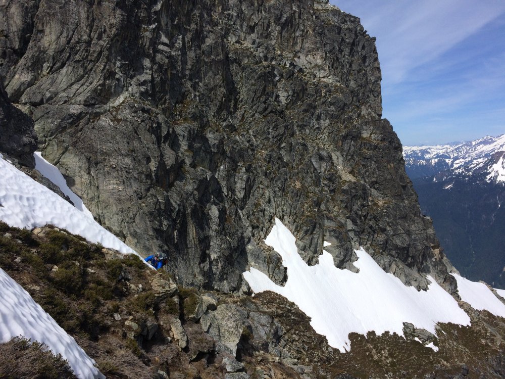
Trip: Mount Stuart - Direct North Ridge Trip Date: 06/01/2019 Trip Report: Disclaimer: in 2019 snow melted very fast. At least three parties made it to the summit last weekend. All crux pitches are dry. Some running water on easy pitches below the notch. The slab pitch is partially covered with snow. Need to cross patches of snow on the upper mountain from time to time. There are four scattered bivy spots on a ground after pitch five, a few spots higher up along the route that are not covered with snow but can fit one or two, a large snow ledge about 400 ft below the end of last pitch towards a false summit. Descended via Sherpa glacier. Left side (skiers) of it gets early sunshine and snow was soft to descent without crampons at 9am. Though my partners used them. Right side that stays in a shade was hard as rock. Gear Notes: BD .1, .2, .4 to 4.; Metolius 0&1; small nuts (placed one nut just because I can); 6 singles & 6 doubles, cordelette, ice axe, bivy, 1/2 crampons Approach Notes: ticks are swarming3 points
-
Trip: Prusik Peak - Stanley-Burgner + Solid gold Trip Date: 05/29/2019 Trip Report: AKA the "It could be worse" road trip When weather in The Valley, Red Rock, Moab, Tahoe, City of Rocks ect. looks heinous for the week you have off, what do you do? You stay close to home and go for some earlyish season ascents of some of the cascades best alpine rock routes! The original plan: Spend a few days in Trout creek waiting for weather to improve. Get a permit for the core, plan for 2 days up there climbing Solid gold and Stanley-Burgner one day, Valkyrie and Acid Baby the other. People said we need snow shoes, but we'll probably be fine. What we actually did: Hike up to Colchuck, hang out under your fly waiting for the thunder storm to pass. Talk to some guys who tried Valkyrie, turns out the route is wet. Rad. one route off the list. Post hole the shit out of Aasgard pass and keep post holing your way through the core in some of the worst spring snow conditions I have personally experienced. Wake up late the next morning to find splitter weather and already slushy snow. Post hole your way over to Prusik. Start up the first pitch of Solid Gold only to find the crux soaking wet, and water dripping down onto the belay. Lower off the spooky chock stone and move over to Stanley-Burgner. Post hole your way up to the base of the route in rock shoes. It seems like some fluffy clouds are starting to form. What did I read yesterday about the warning signs of t-storms? P1/2: Mostly dry except for the crux. Awesome. P3: Mostly dry except for the crux. Cool. P4: Mostly wet except when I try to climb around the wetness and get off route. The added lubricant probably made the squeeze a little easier. P5: Mostly dry except for a few wet jams. At the crux. P6: Pretty damn wet and now there is a full fledged thunder storm baring down on us. Layback around some sketchy new looking loose blocks as it starts to rain. Good thing the route is already wet. Pull up onto the normally awesome summit block only to have my ice axe and entire rack start to buzz. Flip my shit and throw my pack across the summit. Hop over the other side of the summit and start belaying my partner up in a full on vertical sprint and the longest six minutes of my life. There is now a BD .4 on that pitch if someone wants some easy booty. Get the hell off of the summit. Get our rope stuck. Clean it and continue to rap. Post hole our way through very wet waist deep slush over to the base of the west ridge. Run down to lower ground and laugh about how its already sunny again. Try to dry out our gear in camp and decide that this weather cycle is not worth climbing tomorrow. Hike out and get a burrito at South. Drive home and start repacking for WA-Pass. I still have three days off of work. Now for the photo dump. No more pictures till we were back to the base and the storm had passed. Gear Notes: Double rack .2-2 single 3 and 4. Hand full of nuts Approach Notes: Post hole your way up Aasgard pass and down through the upper core. Snow shoes probably aren't worth it.1 point
-
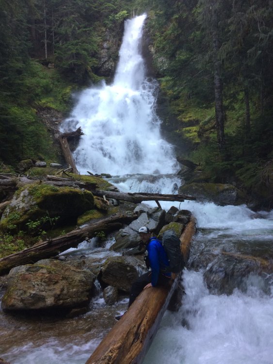
Trip: Sloan Peak - Corkscrew Trip Date: 06/01/2019 Trip Report: My partner Alex and I climbed Sloan Peak via the Corkscrew Route yesterday. We left the parking lot on the North Fork Sauk River Road at 8:30 am and with a fairly leisurely pace made it back by 9:00 pm. This is a great shorter alpine trip with all of the fun elements - wacky river crossings, a cushy footpath most of the way, some glacier walking, heather ledges, and a short scramble to a pointy summit with an amazing view. Highly recommended. The approach is fun this time of year! Plenty of slippery logs for the initial crossings over the Sauk River. We crossed 4 braids of the river by walking across the logs Man on Wire style! After this, the trail is in great shape and makes for easy walking. We stepped over a few patches of snow starting at 4500 ft and then put on our boots at 5000 ft. We booted through the soft but supportable snow up to the edge up the glacier and crossed fairly close under the east face. No issues with the glacier, few cracks are open at this time. I would not want to be there when the face is shedding much rock, but there was only a handful widowmakers embedded in the glacier when we passed through. The heather ledges have quite a bit of snow on them still but are passable. The gully next to the south rib is still entirely filled with snow so we went up and around a heather covered ramp with no-fall type exposure. Once there, it was a short 3rd class scramble on clean warm rock up to the summit. Glorious! The glissade down was a hoot! We hustled back down to the Sauk and managed to cross 7 braids of the stream?!? My partner gave up at some point and started marching directly through the river and soaked his pants and shoes. Ha ha. Then it was merely schwacking through devil's club, alder, and stinging nettle until we regained the hiking trail to the parking lot. Apparently we haven't yet honed our Cascades approach/deproach skills yet Gear Notes: boots, crampons, harness, ice axe Approach Notes: North Fork Sauk. River crossings were....1 point
-
Trip: Dome Peak - Dome Glacier - Main Summit Trip Date: 05/23/2019 Trip Report: Dome Peak, May 22-24 2019 A mid-week hint of a break in the weather tempted us to Dome Peak. We chose Dome from several alternatives since the UW’s GFS model consistently showed it staying dry, in what was otherwise forecast by NOAA as three rainy days in the Cascades. The gamble worked! The Downey Creek trail is just glorious to “6-mile” (seems closer to 7 mi) camp - easy-going, soft trail bed, old growth forest. From there, travel and route-finding up the Bachelor Creek trail was easy enough until the notorious slide alder section. There, Beckey vol. 2 describes crossing to the south side of Bachelor Creek at ~4000 ft (as do a report or two on this site) and Nelson / Potterfield vol 1 describes the crossing at ~3,750 ft. But some Mountaineers' trip reports describe an alternate approach that worked well for us. In short, still following the trail on the north side of Bachelor Creek at about 4,100’, cut uphill (north) into the slide alder. A straight-forward, low-grade bushwack takes you up to the timber. We did our part to improve it by sawing out a couple dozen 1- to 2-inch branches that made the trail difficult to spot or pass. Currently a pink ribbon marks where the slide alder bushwack gives way to timber, and from there the trail is but a whisper, but it doesn’t really matter because the way is easy going on an uphill traverse until about 4,500 where there is a log to cross to the south side of the creek. 4,500’ also marked the start of continuous snow. In the open valley bottom, the snow was soft, which made for very slow going (post-holing) and covered any signs of the trail. In the timber, the snow was firmer and easier going, so we headed uphill, gaining the ridge between Bachelor Creek and Itswoot Creek at a col at 5540’ that is just above the word “Skagit” on the USGS Dome Peak quad. Once on the ridge, we traversed to the col above Cub lake, with nearly continuous views of Dome Peak (see photo), and large bear tracks. The way was mostly snow on the ridge, interspersed with patches of steep heather and a third class move or two to round the high point on the ridge (on the south side). The descent to Cub lake was about half snow, half heather and rock. We camped in snow on a knob just beyond the lake (see photo). There were wolverine tracks nearby. The climbing route up Itswoot Ridge and over to Dome glacier was almost entirely snow, and straight-forward, but for bad post-holing at the lower elevations where the snow hadn't frozen overnight. Higher up, the crampon conditions were perfect. The summit ridge was mostly snow, and though we continued out on it with a couple pickets, a delicate cornice blocked the way at the true summit block (see photo, looking SW). With huge exposure on the right, 45-degree softening, wet snow on the left, building clouds and a thunderstorm in the forecast, we called the exposed snowy ridge 'good enough' and began descending. By now the snow had softened considerably, and postholing made the way fairly slow-going. But the clouds retreated (temporarily), and we were still all smiles. We returned to camp just before the rain started, and the lightning plus thunder. The next morning the rain eased at about 7 am, and we began our drizzly hike out. We liked the ridge traverse so much we repeated it on the way out, and the rest of the way as well. Gear Notes: Took two pickets (used both on summit ridge) and one purple link cam (didn't use, couldn't access rock) Approach Notes: Downey Creek trail glorious, Bachelor Creek route getting clearer with greater use1 point
-
Thanks for pointing this out @ivan. This is a known issue (some of my TRs also) that @jon is going to take a stab at when he can.1 point


