Leaderboard
Popular Content
Showing content with the highest reputation on 05/31/18 in all areas
-
Trip: Mt Rainier - Liberty Ridge Trip Date: 05/27/2018 Trip Report: Finally ticked off a climb that Peter and I had been eyeing all winter. On Thursday we were trying to decide between Liberty Ridge and the Tantalus traverse in BC. Given the good forecast and knowing the route was doable we opted for Rainier. After a late arrival Friday night, we leave the car around 4 in the morning from the White River Campground (4200ft). Three miles later we are post holing so we opt for skis and start skinning up toward St. Elmo Pass as the sun rises. We crest the pass (7,500ft) and can see the Winthrop Glacier below us. After a fun slide down with skins still on we rope up and skin across and down the glacier. Skinning downhill while tied together and surrounded by crevasses is very difficult... Eventually we get off the Winthrop and skin up Curtis ridge to where we can see the Carbon Glacier. It is brown cracked up mass, we also can see Liberty Ridge and it looks to have less snow that we hoped. The bergschrund on the west side of the ridge is also open meaning we will have to gain the ridge at its toe. We drop all the way down to the Carbon Glacier and began skinning toward the toe of the ridge. After some tense hops over open crevasses and nervous glances at the seracs above us we reach the place where it appears people have been gaining the ridge. The rock is a loose combination of glacial till and basalt blocks. As we debate where the best place to gain the ridge is, about 400lbs of rock pour off the ridge and on to the snow a ways up ridge from us. With the cliffs around us looking like jenga towers we decided it would be best to get on the ridge line asap. After 30ft of steep loose scrabbling we are on the ridge and relieved. We progress up hill through thousands of feet of loose rock, finally reaching thumb rock around 3pm (10,800ft). It feels like a longer day than it really was. We dig out a snow bivy pad and put down our pads and sleeping bags and crawl in. We sleep from about 4 till 7:30 before getting up, restless. We realize that the snow in the bottles in our sleeping bag are melting slower than we had hoped. We bum some water off the other group camped at thumb rock, which saves us from snuggling with quite so much snow (thanks!) After a spectacular avalanche rips down the Willis Headwall next to us we crawl into our sleeping bags with soft bottles full of snow to melt for the following day. We sleep soundly until at 12:40 I awake to crashing rocks. Moments later I hear a whirring of something flying through the air and a slam as something hits my sleeping pad, inches from my head. Peter and I are immediately awake and looking around. We find a baseball sized rock, wedged under Peters backpack, between our heads. Hearts pounding, sleep does not return. We lay there, tense, until 1:30 as we hear the other party starting to move. Already awake and knowing we move faster than them we pack up camp and head uphill by 2am. Cold temps brought solid snow and we move efficiently unroped through a firm bootpack on 45-55 degree snow. This continues through the hours of dawn and as the sun rises we pass under the black pyramid and find a spectacular sheet of ice ahead of us. We get the rope (30m) out for the first time of the day and tie into each end. My hand are cold and Peter takes the first block. As the rope runs out we start to simul climb. We simul for a few hundred feet before Peter uses his last two screws the belay me up. From there I lead out the next few hundred feet until I am down to 2 screws and belay him up. He leads from there to where the angle is so low we feel good soloing again(12,600ft). Rope back in the pack we start up toward Liberty Cap, thinking we still have as far to go as we have already gone. I still feel good but Peter, normally faster than me, is not moving like his normal self. We take a break at a safe spot and finish the last of our water, Peter is out of food so we share some gorp that was nibbled by a mouse at the trailhead and I was saving for last. He complains of some headache and nausea, I learn here that he hasn't been over 11,000ft. With no way down except up, we moved slowly upward. Over the top of Liberty Cap (14,100) we skin down to the col between Columbia Crest and Liberty Cap. Having no interest in more ascent we decide to boot across the Emmons to meet up with the standard route there. Once on the standard route, we unrope and switch back to skis to ski perfect corn down to Camp Schurman(9440ft). A little boot up to the top of the Inter Glacier and we ski through calf deep slush (ACL snow) to the bottom of Glacier Basin (6,000ft). Shoes back on our feet and Peter feeling better, we walk/jog the last 4mi to the car (4200ft). Together we consumed almost a gallon of water from the car, next time we know a stove is worth the weight. Route from Curtis Ridge Really fun volcanic junk... More fun low on the ridge Aesthetic bivy Some time between 2am and sunrise Sunrise a few hundred feet form the ice Perfect stairs as we approach the ice Easy, fun, solid ice Peter feeling like a champ on the descent Gear Notes: 6 Ice screws, 2 pickets, quick reaction time Approach Notes: Road open to White River CG, gained ridge near toe on the east side.2 points
-
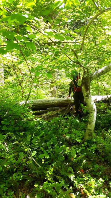
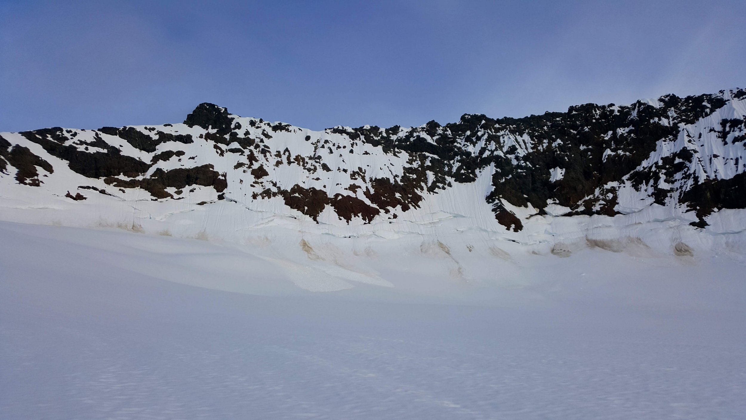
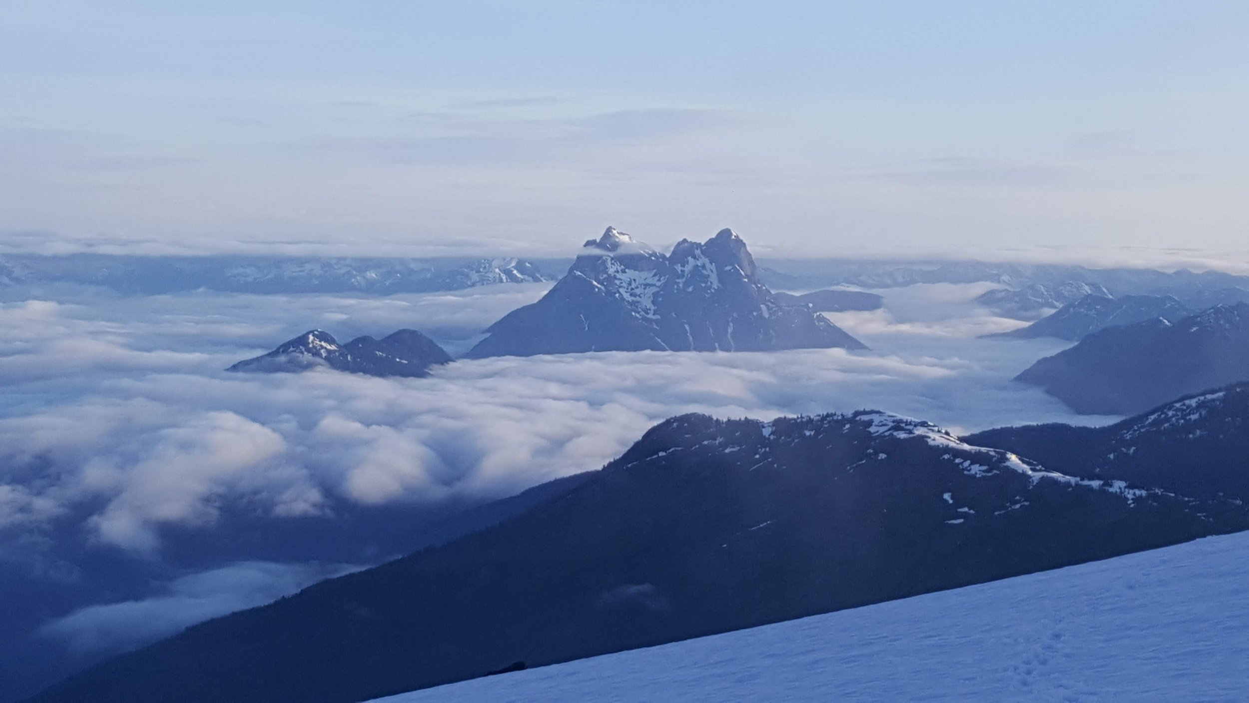
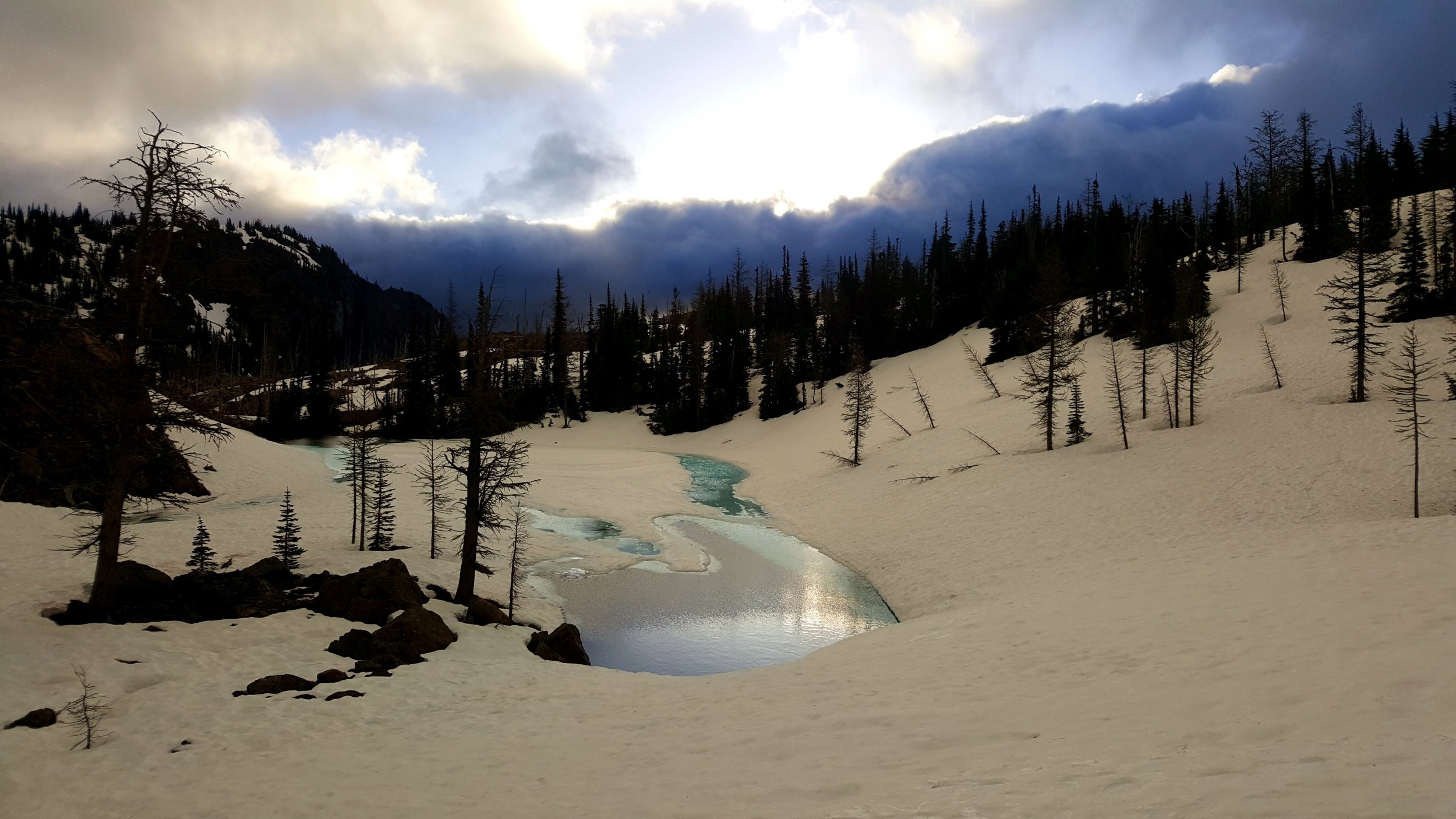
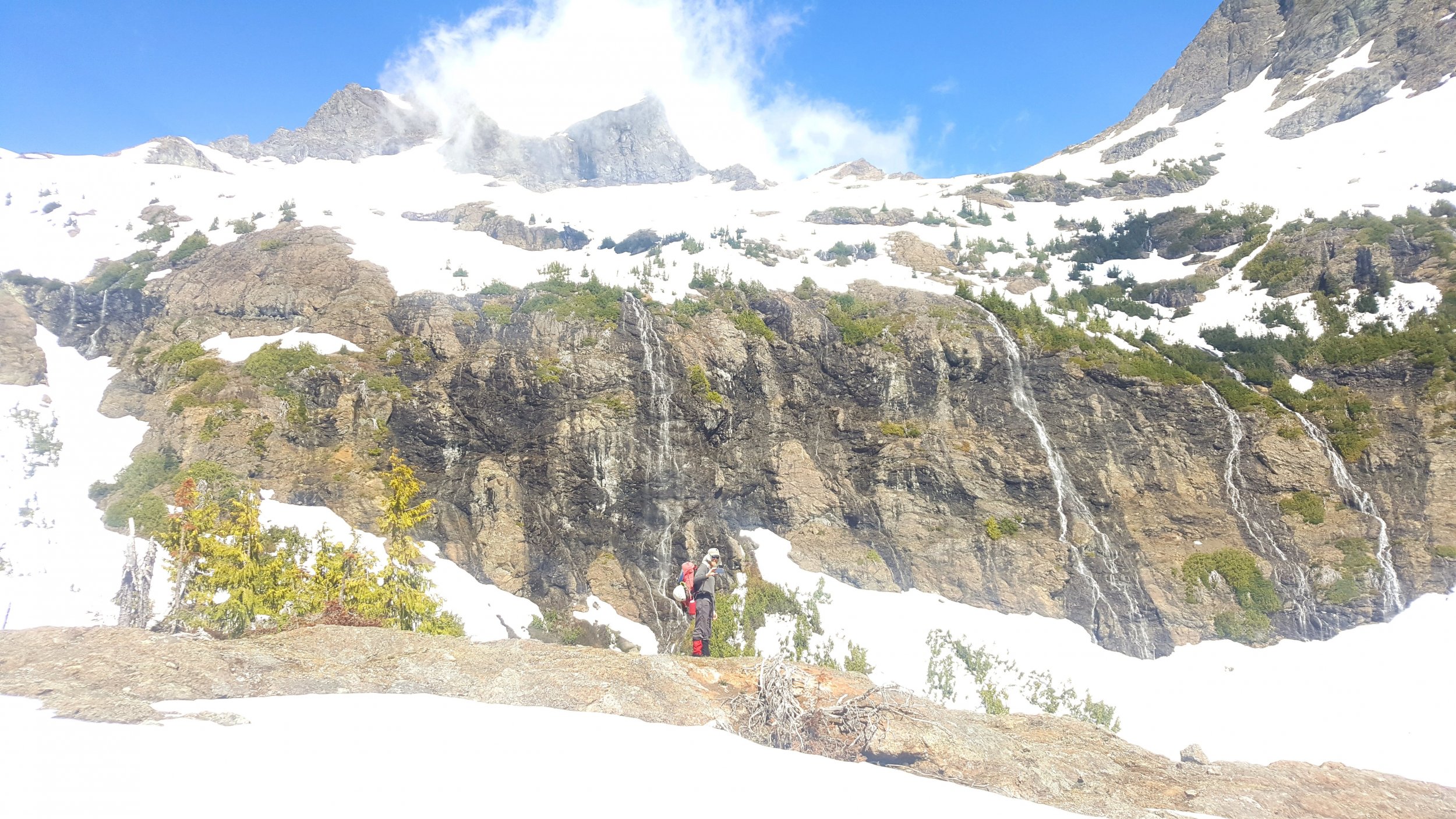
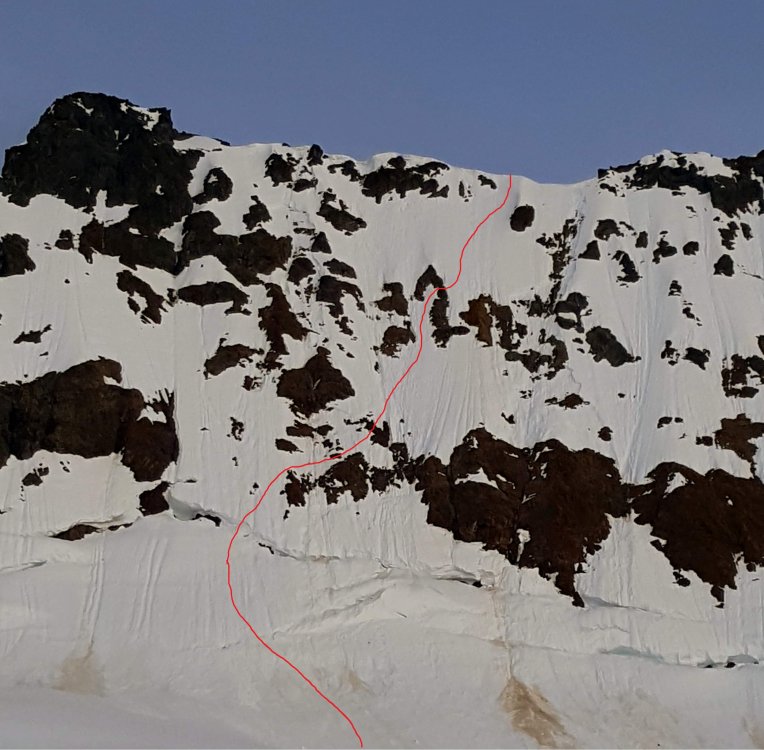
Trip: Jack Mountain & Crater Mountain - NohokOmeen Headwall & South Ridge Trip Date: 05/26/2018 Trip Report: Fred and I had amazing plans for a (for us) heroic trip... The Great Jack Off. Along the East Bank Trail, up the Nohokomeen Headwall of Jack, down the south face, with Crater to boot. The trip reports we read from the party on the Nohokomeen on the 12th helped with the scant beta a lot, thanks! This route isn't even in Beckey if you can believe it! For purity of the trip we hiked car-to-car the loop starting from the East Bank Trailhead at Panther Creek. Other reports have enough info on the approach I figure so I'll keep it to the basics. Not much brush - none really by Cascades standards; the hillside to gain the May Creek Basin was brutal though. We pushed on and camped at about 7600' on the Nohokomeen Glacier. This made it about 12 miles and 7100' vert of gain on day 1... whew! Forest uphill from the East Bank Trail: Our first view of the headwall from near the toe of the glacier was not encouraging, but we knew we had to take a look at least. Headwall from camp: Hozomeen from camp: It got cold that night, there was frost on the tent and the snow was very solid. We left camp at 0600 and had only a short walk to the base of the wall. We found a route up, over a bridge in the 'schrund and through the manky rocks. My calves were killing me so Fred led the whole wall both of us soloing. It felt steep! It's amazing how the slope changes when the snow is frozen and you can only get front points or an inch of boot at the most. It was definitely about 600' of "don't look down" terrain for me. Softer snow would have mage it a lot more secure and easier, but we made it. Approximate route, it looks like a lot more traversing than it felt like. Maybe it's just perspective: We were on the summit by 0800 I think. It was breezy but not bad. We were worried the downclimb on the south face would be too solid so we waited around for a while identifying peaks and enjoying being off our feet. Down climbing the much softer snow on the south face was a piece of cake after the Nohokomeen; until we got to the cliff band at about 8000'. We didn't know the route and had only a 30m rope so it took some looking but we nailed it. We did two 15m rappels off a crappy loose boulder with like 10 pieces of tat on it down onto snow again where we could traverse out to easy ground on the SE ridge. We took a loooong lunch break and rested our brains in the warm sun. Basically all the ground from there until 4800' on the Crater Mountain Trail was snow covered with the exception of the Crater scramble section. We camped at Jerry Lakes early on day two and had a leisurely afternoon. Day three was a tame snow walk and easy 3rd class scramble up Crater and a slog out down the trail and along Ruby Creek to the car. We could have hitchhiked the last 3 miles or so but we are purist and completed the loop - my shoulders were pissed. Tarn near Jerry Lakes camp: Lake and waterfalls below Crater Mountain. We gained the trail shortly after here: Maybe Fred will post some more photos, he was a lot better about taking them than I was. Gear Notes: 30m rope glacier gear 2 axes aluminum crampons trail shoes celebratory brandy Approach Notes: All the trails in the lowland were in good shape, a bit of blowdown on the Crater Mountain trail. Lots of creek crossings, all dry on the East Bank Trail, one ford on the Crater Mountain Trail. Crews were out working on the trail near Granite Creek.1 point
-
You guys hit it so perfectly it almost seemed casual. Almost. Way to up the style points as well!1 point


