Leaderboard
Popular Content
Showing content with the highest reputation on 05/21/18 in all areas
-
Trip: Moose's Tooth - Shaken, Not Stirred Trip Date: 04/15/2018 Summary: Ascent of Moose's Tooth to the summit via the route "Shaken, Not Stirred" 19 hours camp to camp with Doug Shepherd April 15th 2018. Details: Alaska. Finally. After multiple trips to Alaska every year since 2009 life priorities had forced me to take a "leave of absence" since my last trip in March of 2016. It was nice to finally return and with Doug Shepherd, someone who I've done numerous trips with including my very first trip to AK in 2009. Various existing commitments limited us to a 3 day trip but weather and temps the week leading up suggested we would likely find something we could climb during the short window. I grabbed Doug at ANC early Saturday morning and we blasted for Talkeetna. After the usual shenanigans (weight in, repack) Paul zipped us in. After looking at possible objectives on the flight in we settled on Shaken, Not Stirred on the Moose's Tooth. Though I had climbed the Moose's Tooth in 2010 it was via Ham and Eggs. I'd always wanted to climb Shaken but had never seen it in. A SLC team was coming out at the same time we were getting dropped off and had attempted it the day prior. They had bailed at the crux due to lack of ice but after quickly looking at their pictures we thought we should at least give it a try as it appeared like it would go with some mixed climbing. We departed camp later than normal on Sunday (~6 am) to allow temps to warm slightly; this allowed us to wear single boots. I took the first simul block to just below the narrows where Doug took over. Doug fired a few amazing pitches that took us to the crux which was ice free but Doug was able to safely protect and find a mixed way through the crux. Following the pitch I have to say it was a very impressive lead. Some more climbing took us to the Englishman’s Col where we enjoyed an extended hydrate + coffee break before heading to the true summit. I will say the terrain between the Englishman’s Col and the true summit is a lot of up and down with at least two rappels and nearly constant crevasse and cornice danger. "Enjoy" We tagged the summit sometime after sunset but before dark; Doug's first time and my second. We managed to start the rappels down Ham and Eggs before it got truly dark so at that point it was just hitting rap anchors and/or making naked threads as needed. We arrived back at camp ~19 hours later and flew out the following day, Monday, before heading back to the lower 48. Good times. Gear Notes: partial set of nuts, single set 00-2 c3, double set 0.4 -> 4 ultralights, 10 laser speed light ice screws, 3 micro trax, single + tag line Approach Notes: Talkeetna Air Taxi is the best2 points
-
Trip: Jack Mountain - Nohokomeen Headwall Trip Date: 05/12/2018 Trip Report: Well, I am back from 4 months in south america, and didn't waste any time starting my quest to finish the Bulgers this summer. After hearing Fletcher's report for Jack mountain via this route, Jake, Josh Lewis, Elaine, and Steven joined me to climb the Nohokomeen headwall knowing the conditions would be good. In short, we had a very successful, fast ascent of the route and topped out on number 79 for me. Now for the slightly longer version... I picked up Josh in Lynnwood in my van and met Steven and Jake at the Highway 20 closure late Thursday night May 10th. Elaine was with us as well. Around 630am we started biking the 4 miles up the road past the closure, passing by a line of cars waiting for the road to open for the summer at 10am. Too bad they couldn't open it 4 hours earlier! In the cold fog, we biked along, and after just 25 minutes or so we reached the east bench trail, locked up the bikes and began the 8 mile walk. After a few hours we reached the point to leave the trail and started up the steep slopes towards the upper Nohokomeen Creek basin. at 4500 feet we hit continuous snow, and everything below was not too bushy thankfully. We crested over the ridge at 5000 feet and put on our snowshoes here to finish the approach traversing into the basin, and making our way up to where Elaine, Josh and I decided to camp at about 6000 feet elevation in a small snow gully sheltered from the wind just above the base of the glacier. Jake and Steven, who would climb the route as a separate team of 2, decided to continue on all the way to 8000 feet to camp on the glacier...something I had no interest in doing haha. It was a beautiful afternoon with amazing lighting on the Pickets directly across from us. East Fury and Luna stole the show from our tent view! Elaine decided to skip the remainder of the climb, but Josh and I woke up at 3:30AM, ate a quick breakfast and by 4 we were off, following Jake and Stevens tracks 2000 feet up the glacier in the glow of twilight. At 6am, we reached their tent, and awaiting us was Jake and Steven, who were just about to begin up the route. At this point the sun was just rising and our eyes were glued to the red glow lighting up the landscape. Mount Baker was particulairly stunning along with the Hozomeen Spires and the Pickets. Jake and Steven decided to sleep in a little, which worked out great with timing as all 4 of us began climbing the route together. Unfortunately for Josh, one of his crampons broke at the beginning of the headwall, so he was forced to wait it out and return to our tent. Jake, Steven and I then all solod the route, alternating leads and kicking steps. It only took us an hour and a half to climb the headwall from their high camp at 8000 feet and we reached the summit at 7:30am. The snow conditions were nothing short of perfect as we easily kicked great steps the entire way up the headwall. Steepness averaged 50 degrees with a couple short spots at 60 degrees. Once on the ridge, it was a beautiful ridge run to the summit only 150 feet further. On the summit we ate our snacks and enjoyed the spectacular views for 30 minutes or so. There was a brisk wind but not quite enough to chase us down real quick. This was my 79th Bulger, and the first one in 2018 for me. I couldn't really do any while in South America lol. We made quick work of the descent and was back at the base of the headwall in an hour. We used our same steps on the descent which made it feel very secure. We packed up and were snowshoeing back down in no time. We reached the east bench trail around 2pm, at which point my feet were in serious pain from wearing the mountaineering boots so long, and I was glad to switch back into trail runners. The 8 mile hike back was uneventful, and Jake offered to run ahead and drive my van back so we could all get a ride back to the Ross Lake Trailhead saving us the bike back on the road, which now was full of cars. Once we were all back, Jake and Steven returned to Seattleland, while Josh, Elaine and I proceeded to Winthrop for Mexican food, and to prepare to climb Robinson Mountain the next day. More on that climb in just a bit... Gear Notes: Brought 30m rope and pickets but didnt need them. Crampons and one quark were all I needed. Approach Notes: East Bench Trail for 8 miles. Continuous snow began at about 4500 feet2 points
-
Trip: Mt. Rainier - Liberty Ridge Trip Date: 05/14/2018 Trip Report: Hello! The climbing rangers on Rainier wanted to know about conditions on LR, and since we did the route the long way we did a lot of movement on the mountain and the Carbon River Trail/Wonderland on the way. I had to work last night after pushing the last 14 miles out in the morning, and have to work again today so I am trying to crush this and I’ll addend it later to get all the pictures as I get them. Here we go! Valerie and I met on Monday early and discussed more in depth our gear selection, ended up being 4 pickets and 5 screws. Fortunately the 1000 ft of hero ice and my trips to the Canadian Rockies worked well as two screw belays and one screw for pro saved time, and the extra picket helped set up the tent quickly! Be aware that if you start from the Carbon River, you cannot purchase your Rainier Climbing Pass there, it must be done somewhere else or online first! I swear I’ll send in my money on Monday, thank you to the Park Service for accommodating us. We left the Carbon River TH at 11am, and made it to 6800 ft at Curtis Ridge camp. We camped on dirt and used rocks as anchors to set up the Betamid, which it the first time I have used one and it was AWESOME. This seemed to be fine for accessing the Carbon Glacier. There is a crossing on the trail to which we had to on the way up take our shoes off and wade a little as several of the log walks are washed out. It is kind of an adventurous approach as you can imagine this time of year, but as someone mentioned to us on the way out “They probably didn’t find the trail too difficult if they climbed LR” Haha! On the way back, we chose to leave our boots on at a crossing because the water was even higher. If this happens, I’d suggest one person using shoes to wade across and attach a rope and ferry dry packs across, there’s a hand line across the way. Day 2 we found the Carbon to only have a couple of bridges to navigate, and Valerie deftly led us safely across to the right side of the Ridge. At this point Valerie had reservations about leading the route, and I assured her I would lead all of it if I needed to. This is in no way a detriment to her contribution to completing the climb, I needed her to help in all the glacier travel and navigation, positivity, and her extra pizza. The woman brought in 2.5 fully cooked pizzas. She knows her stuff. It took us 3 or so hours to move across the Carbon to the right side base, probably because of the long approach and our increasing lack of sleep and long days. At 1030 or so I started up the third snow band and over a very easy covered shrund, and the snow to Thumb Rock was pretty shitty ranging from ok to plunge step to wallowing in crotch deep sugar. Our anticipation was that it was supposed to get colder the next evening and we would have good conditions to the summit. It took us a whopping 9-10 hours to get to thumb rock, as we had to pitch out some sections because of the warm snow and I started taking the rock bands to save energy. Occasionally I could protect the rock bits with a deadman picket, but all other anchors were quite marginal and I ended up using seated hip belays or terrain belays off of boulders. I assume if the snow is good this time could be halved and soloed. Start very early or when the snow freezes. We sat in the sun and tried to dry out as best we could at thumb rock and hydrate. We dug a platform with a shovel, it would likely fit a 2-3 person tent well and just out of way of the rock falling off Thumb Rock. There’s enough dry rock to sit on and relax up there. Day 3 The Business. We awoke to still and excellent conditions. I started up at 330am to the left as it looked more direct, the WI3 straight up is completely non-existent. We simuled in 800-900ft blocks with a picket every 190-230 ft, I have never mid-daggered so much in my life. Occasionally whenever we needed to simul solo to get to a good picket or resting spot, I would end up in a sugary 10 ft band of garbage. Vertical pickets were pretty good today. Somewhere after the second block to pass over to the left, we came over a lip of snow and built a belay with an axe while standing on dirt and rock. From this belay I did a traverse of rock for 30 ft or so with a marginal picket to get to the left. I believe we did a rising traverse lower than usual to the left to access a wide long gully with some rockfall when the sun came out. Miraculously, as I had to chose my path the clouds covered it just until we were both out of harm’s way and then the sun came out and the rocks started falling again. My suggestion is if you go this way that you go up and right a bit around a few small rock outcroppings then cut immediately left to avoid rockfall if the sun is out. Either way move fast. We pushed this simul up to the ice face, and I belayed off of two screws in the bottom of the ice. At this point Valerie had some issue with her toe, and she may have stubbed it hard somewhere, and was feeling a bit rough. Valerie is pretty dang tough, so it might have even been broken. We had not stopped and ate or hydrated much, as we kept having some serious routefinding and objective hazards and that distracted us. The ice looks shorter than it is! I led 3 200 ft pitches, at the first belay I hammered her adze in to the hilt and connected it to the anchor and left her with a one screw anchor. I didn’t know what the next pitch of ice would feel like, she trusted me but expressed some concern with this. My standard mountaineering crampons were great and single swing half or to the hilt swings had me moving very efficiently up the pitches, placing a screw half way and two for the anchor. After 3.5 full pitches of ice, I belayed Valerie up to a flattish area and she was doing poorly. Albeit she rallied each time with courage since we were in a very committing position. The hanging belays sucked and her toe was hurting. At this point this got a bit colder, and the clouds would come in and out and obscure our view. We discussed bivying early around 13100, but she expressed from her experience is better to camp near Liberty Cap and I thought having the difficulties behind us would be better. I led up through the clouds as we spied at a moments clearing the correct way, traversing far right for a bit and up a very easy filled in bergshrund, travered up 45 degree snow ocassionally protecting with pickets while simulclimbing. I was out of pickets but started finding ice to place screws in every 150-200 feet up the last headwall to Liberty Cap. This was technically the crux, but it was hilariously fun for me and should not concern anyone really in it current state. Two hero ice tool placements above shrund, cut feet heel hook left foot and swing tools higher up 150 ft of mixed snow and ice to ice screw belay. Just before this belay Valerie got the screaming barfies on the overhang, and as she arrived to the anchor most of me was covered in rime and snow. 300 feet up more ice/snow to low angle terrain and Liberty Cap. At this point if we had stopped for longer than 20 minutes we may have been hypothermic with 30-40 mph winds. We were moving too slowly at this point to reach anywhere else, we quickly set up the Megamid pickets and tools, and I set to work digging in the sides. We slowly recovered and feet and hands warmed up, and the mood became a bit less serious and the awesomeness set in we were doing fine at 14k and howling winds, and we had made it up a very proud objective. As it turns out the Zip Jet boil is a bit finicky about being warm, but we passed out until midnight until we got the thing working or even cared about it. Imporant points before I leave you hanging... Descent of Emmons, boot path done to Shurman. When crossing Winthrop if doing LR, be careful of following our tracks, we were in a complete fog and were trying to go down not over. Might be looking to do the Kautz May 28-30 if someone is down, or whatever route is fun. TBC... Need to go climb some granite. Be Back out Wednesday night. Gear Notes: 5x screws, 4x 24" pickets, slings. 3 pickets and 6 screws might be better since theres more ice than i anticipated. Approach Notes: Carbon River is fine if you're in shape and want better conditions on route VS shorter approach if that is the current time of the season. Coming back down from Dick Creek. Valerie showed me how to wade, I was a little unsure of how to do it. Valerie's skillful untracked descent of the Emmons Above the 800 ft. ice face, still a pitch of ice above this. First full pitch of ice. Day 2 headed up to Thumb rock, conditions not the best. Entrance to the ridge from the Carbon Glacier1 point
-
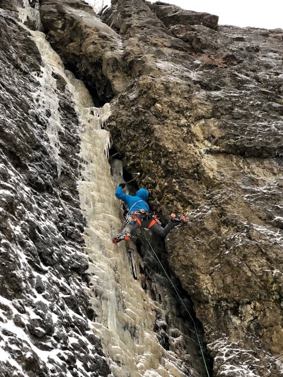
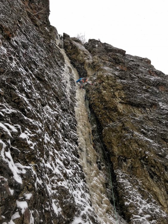
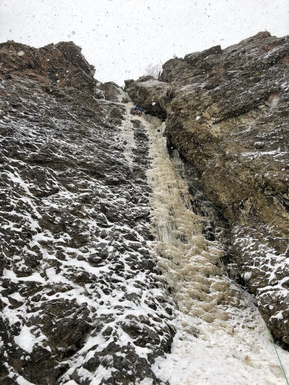
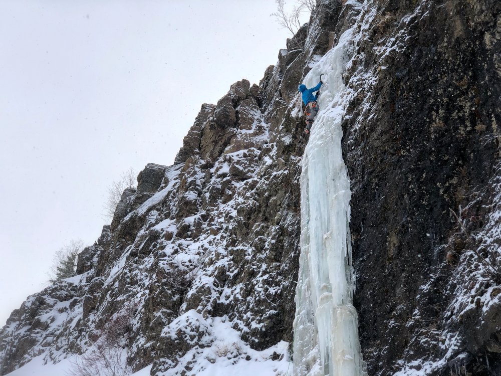
Trip: Strobach - Jatinga (FA) Trip Date: 01/30/2018 Summary: First Ascent of Jatinga WI4 35m John Frieh and Joel Campeau January 30 2018 Details: Joel and Jen did a recon trip the weekend prior and baited me with photos of what appeared to be unclimbed ice climbers right of "First on Right." Even better it looked extremely similar to the Hyalite classic "The Thrill is Gone." Two days later Joel and I returned and made good time to the base drafting the trail he and Jen had punched in a few days prior. I saddled up and with a cool head and creative ice screw placements was able piece it together before finally getting good rock gear higher up. Finally "interesting" thin climbing (classic Strobach) guarded the top out. We rapped off a tree climbers right of the top out. Joel followed and we then ran a lap on what apparently was the very first route ever climbed at Strobach "First on Right" which we both found to be very steep off the ground before easing higher up. Joel and I did some recon hiking after that and found some other possabilities that Jen and he climbed the weekend after that. Hopefully they post a TR soon! Shout and a BIG thanks to Alex Krawarik for always being willing and able to answer all my Strobach questions! You the man! Gear Notes: Rock gear + stubbies recommended (required?) Approach Notes: Washington Ice: A Climbing Guide1 point
-
Trip: Silver Star Mountain - Silver Star Glacier Trip Date: 05/19/2018 Trip Report: Current conditions on Silver Star Mountain are pretty good for Skiing. Unfortunately, I booted my way up SS Glacier on 5/19 via Silver Star Creek! It was a lot of work in bad conditions. Snow coverage became consistent around 5000 feet. Full trip report: Spokalpine Gear Notes: No crampons needed Approach Notes: Silver Star Creek1 point
-
Thanks Wayne! Your work on the drip got me really stoked on that face.1 point

