-
Posts
99 -
Joined
-
Last visited
-
Days Won
40
Everything posted by Kyle M
-
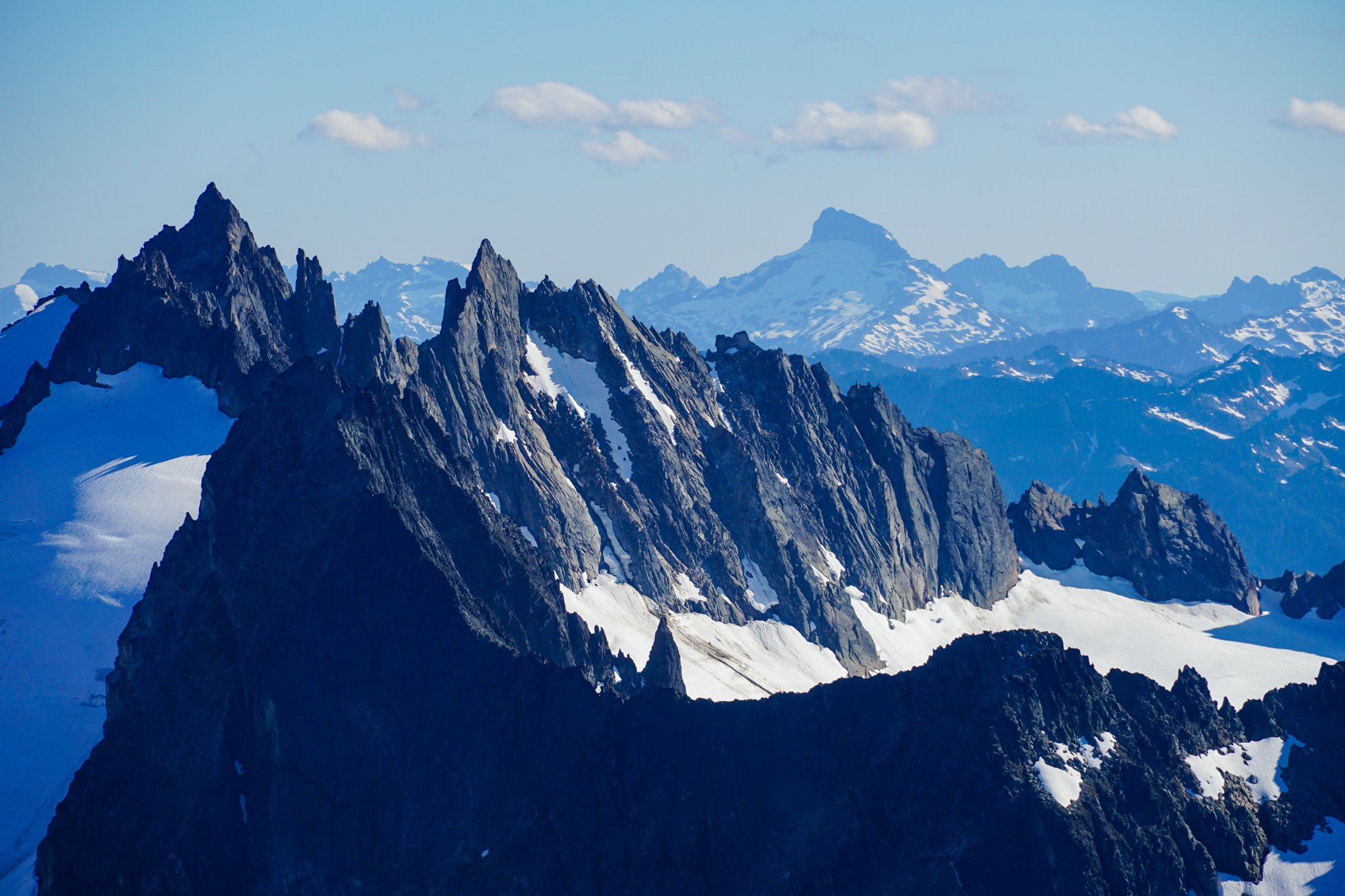
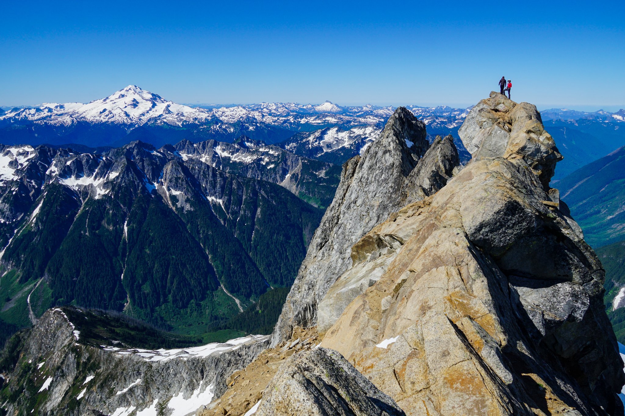
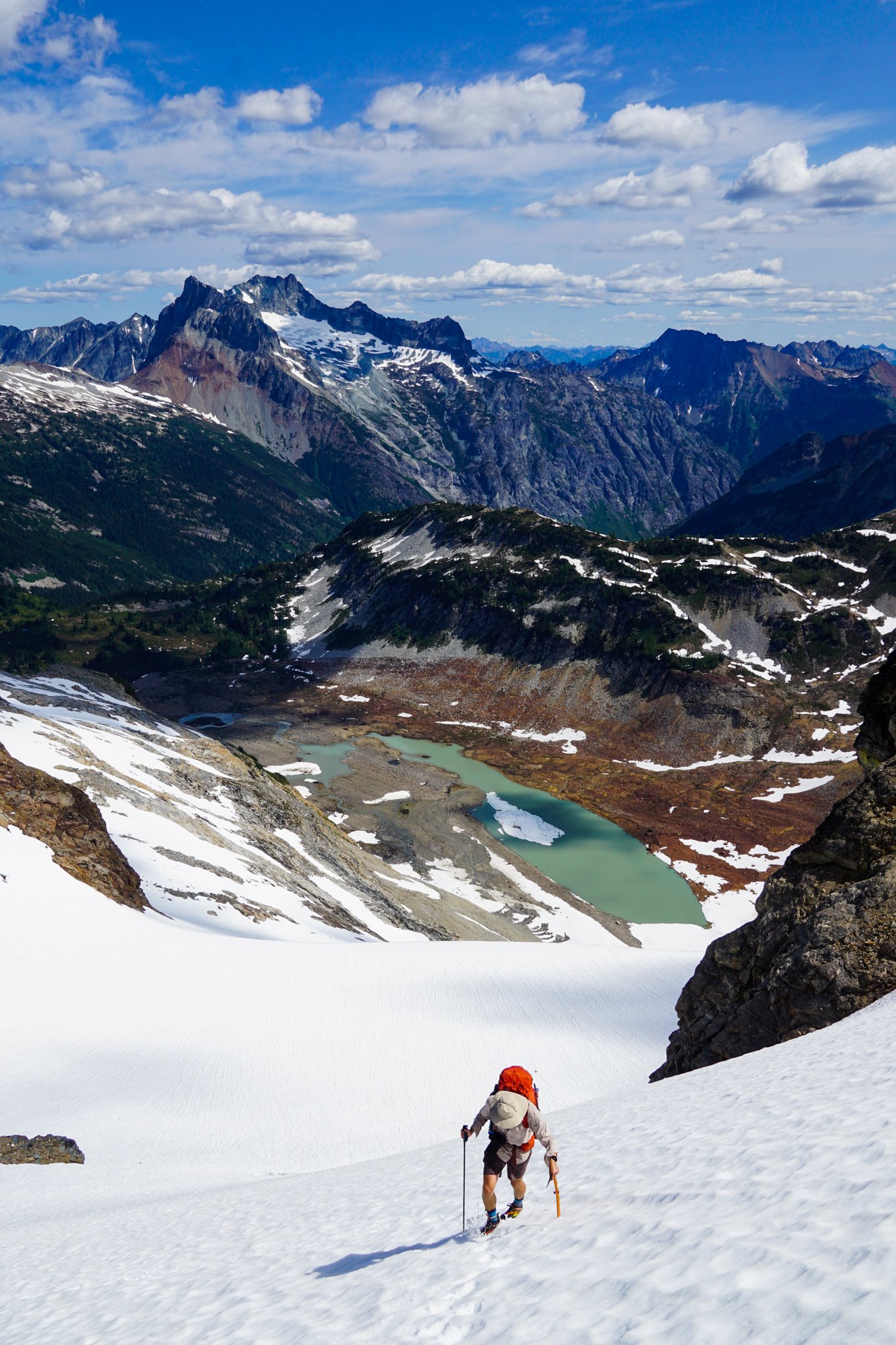
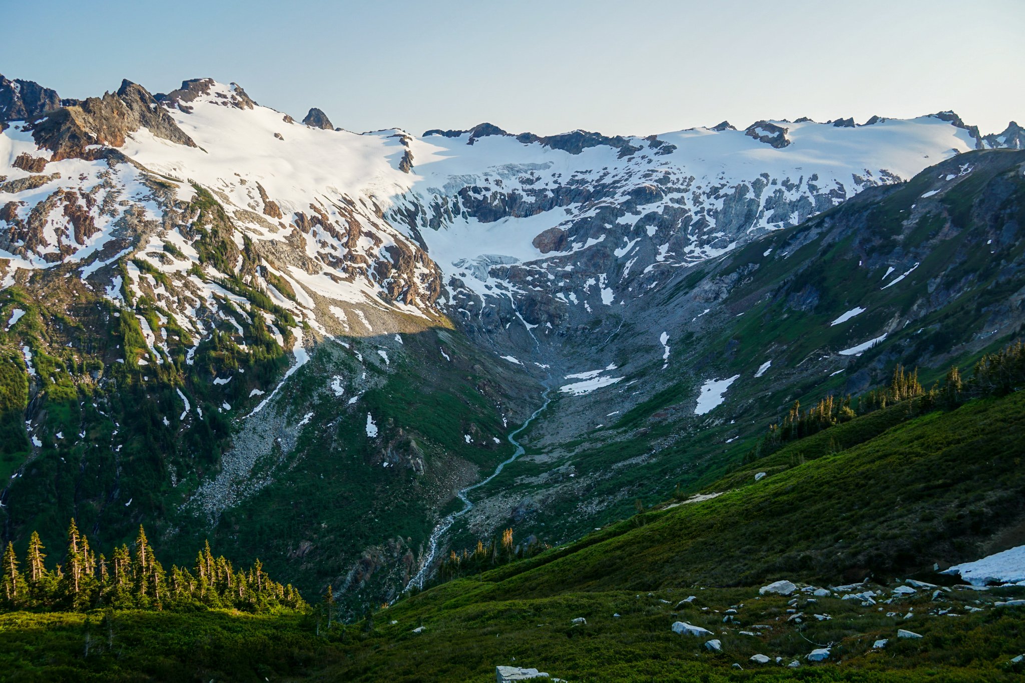
Trip: Pickets - Picket High Route (Stettatle -> Wiley) Trip Date: 07/04/2024 Trip Report: Wyatt, Anthony, and I joined forces once again for a 4th of July Epic. We went for the Pickets this year, completing a south to north high route from Stetattle Ridge, through McMillan Cirque, to Luna Col, and out Wiley Ridge over 4 days. We summited Outrigger, Fury, Luna, Big Beaver, and a few other bumps along the way. For those curious, Outrigger is climbable from the south. We couldn't find any real info on this, but we found a bypass of the vertical section, climbing some low 5th around to the right. Wiley Ridge was incredibly pleasant and the bushwhack was short. Highly recommend this route. https://climberkyle.com/2024/07/04/pickets-high-route/ Gear Notes: Gaitered gore-tex trail runners, cycling out waterproof socks. Pink tri-cam for the knife edge on Outrigger. Approach Notes: We took the Pierce Mountain Trail up Sourdough since the main trail is closed due to the fire last year. Wiley to exit. Stay on the ridge between the two gullies on the descent, and it's not too bad with the exception of one cliff band at 4900 ft.
-
-
@Kayleighm AKA "Climber Kayleigh" if those climbs are in, check out the Whitepine Ice (north facing above Whitepine Road) or maybe even Alpine Dropout near Lake Wenatchee. There are some other north facing climbs on Nason Ridge in the WA Ice Guidebook. Probably lots of good stuff in that area right now!
-
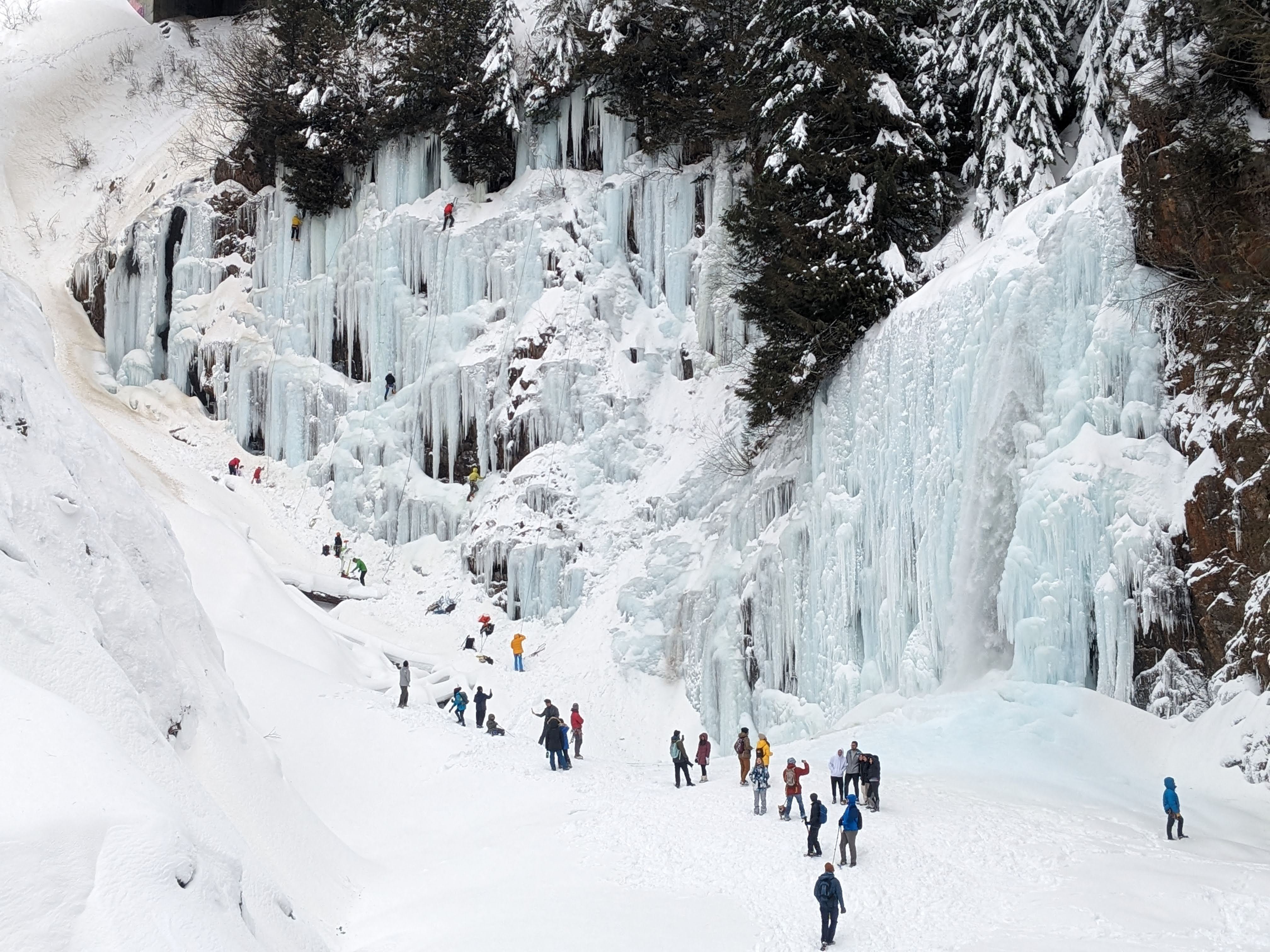
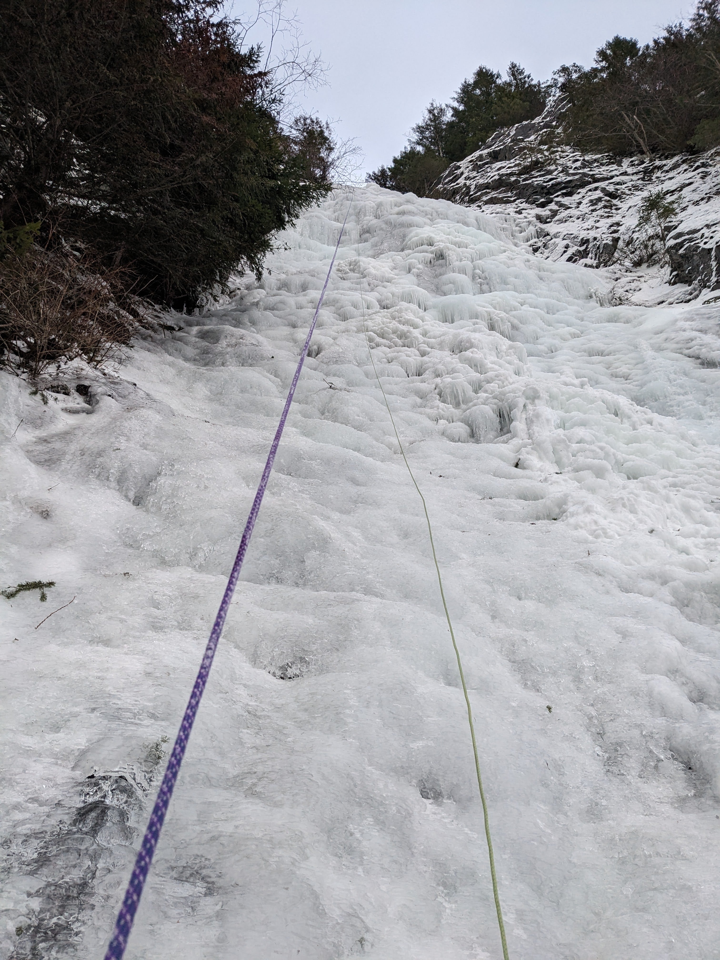
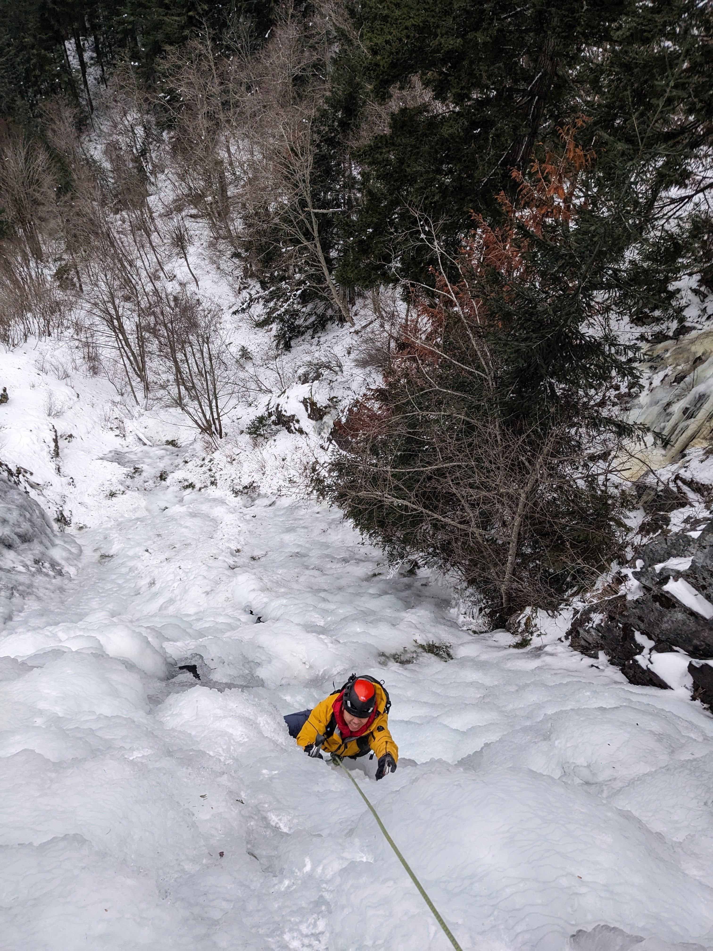
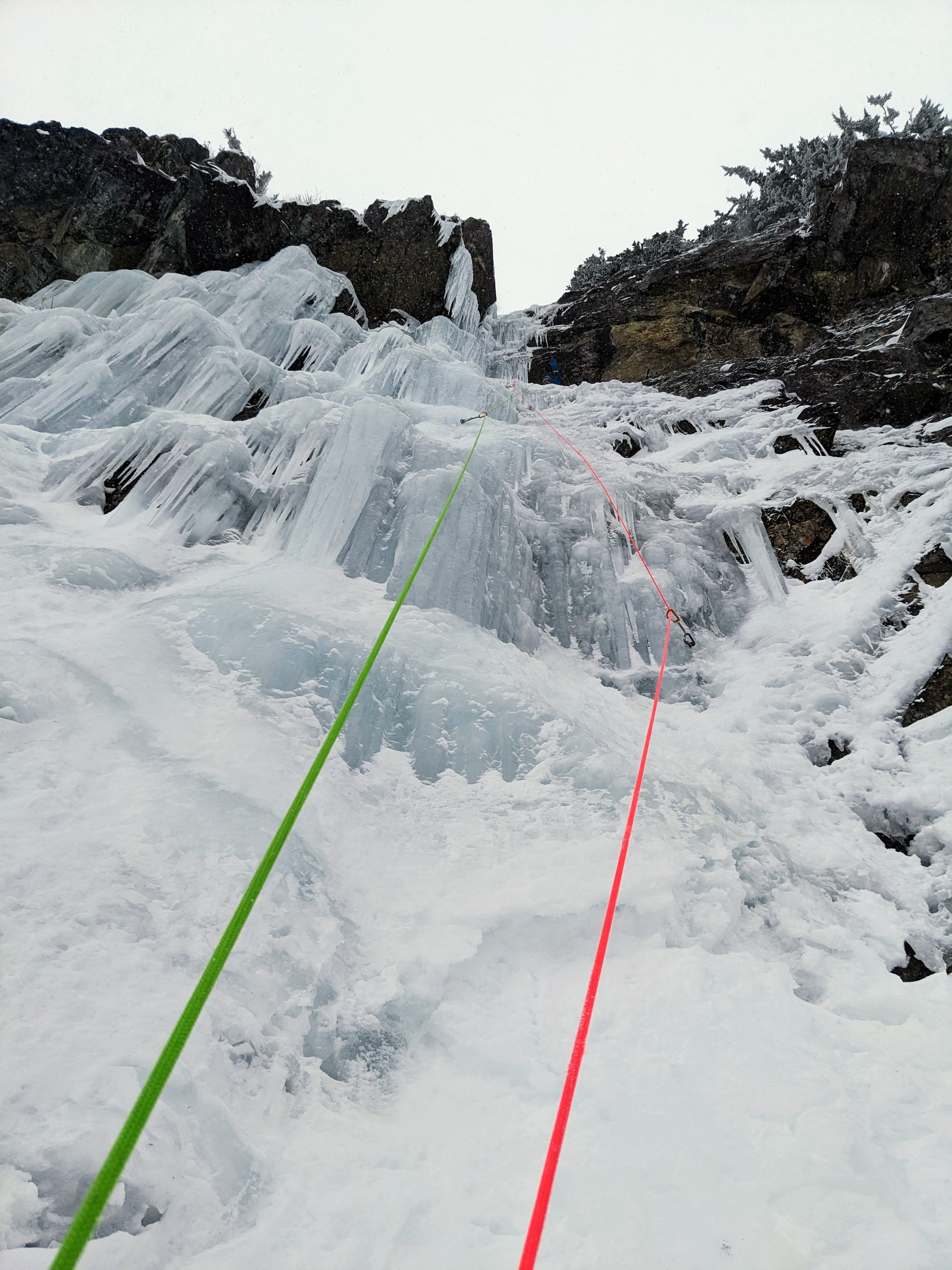
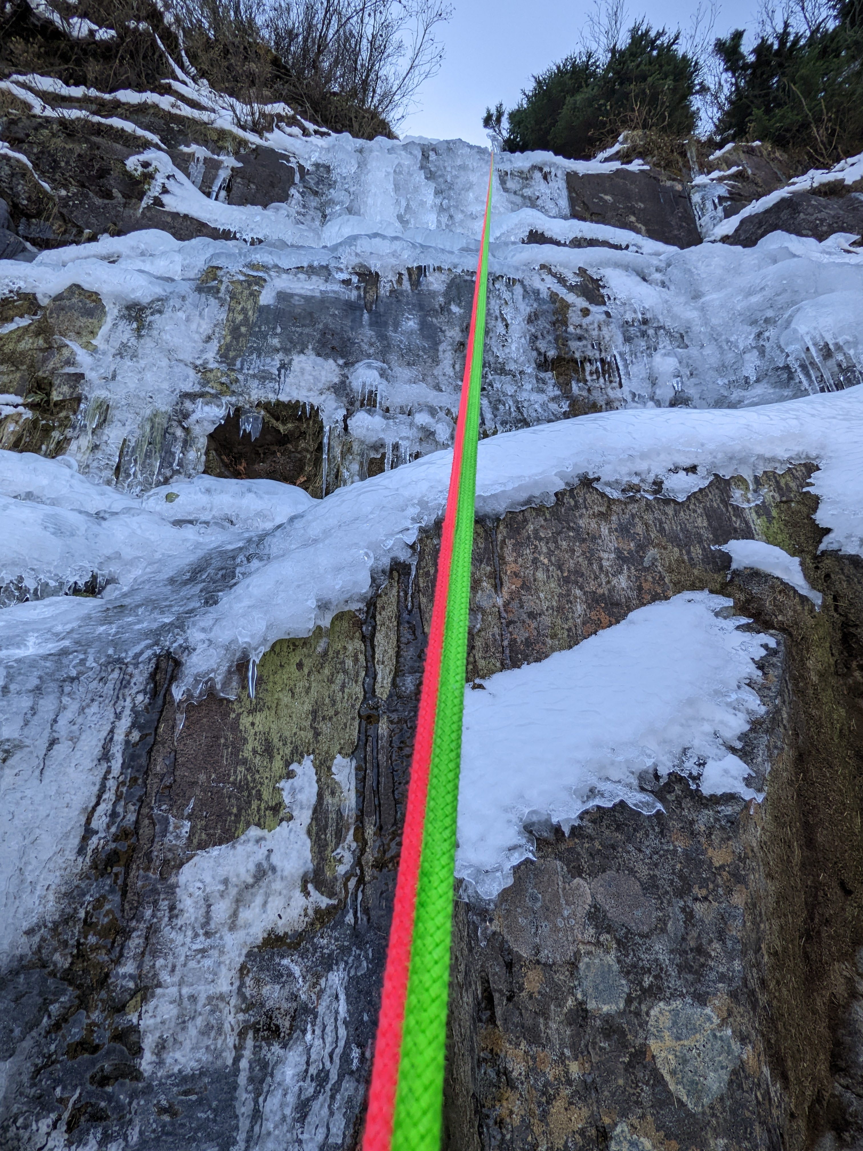
Dirty Harry's was great today! Fat, protectable, great sticks. This climb is just east of Dirty Harry's Balcony. It is south facing about 1000 ft above I90 and is visible briefly from the freeway. After hiking to the balcony, we bushwhacked down the drainage that creates this climb and rapped in. Climb is probably 70-80m long total, mostly WI2-3. It is moderately high volume. Even the forest had fat ice on the way in!
-

[TR] Glacier Peak Wilderness - Glacier Peak via Cascade Pass 07/01/2023
Kyle M replied to Kyle M's topic in North Cascades
@JasonG still the same old same old. Sony A6000 with 18-135mm lens, or just the kit lens if I'm running. The main improvement has come from using Lightroom. -

[TR] Glacier Peak Wilderness - Glacier Peak via Cascade Pass 07/01/2023
Kyle M replied to Kyle M's topic in North Cascades
@JasonG those are all my pictures. Wyatt's would be even better! He had multiple lenses. But I've yet to see all of his supposedly 3,000+ photos from this trip... -
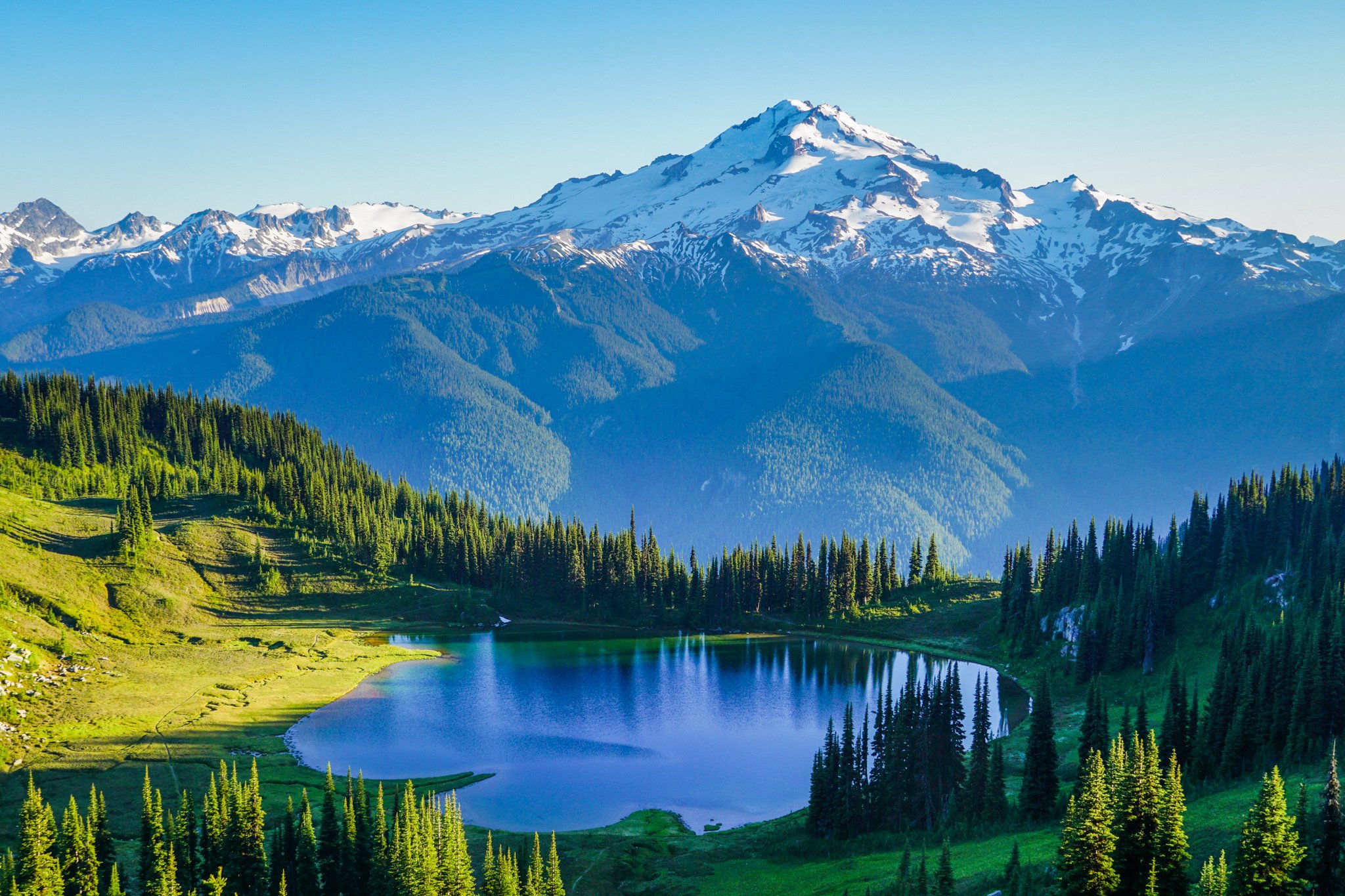
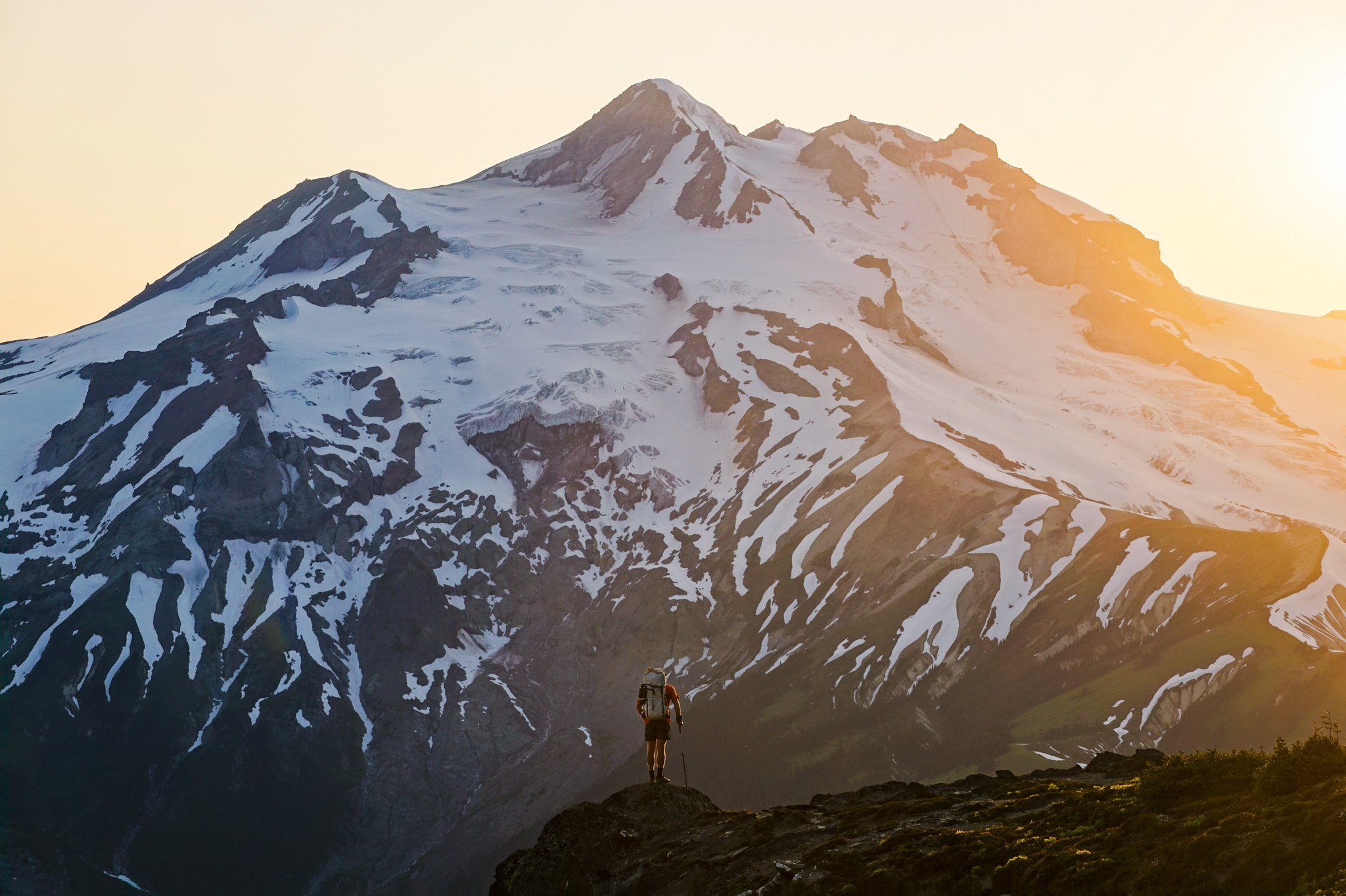
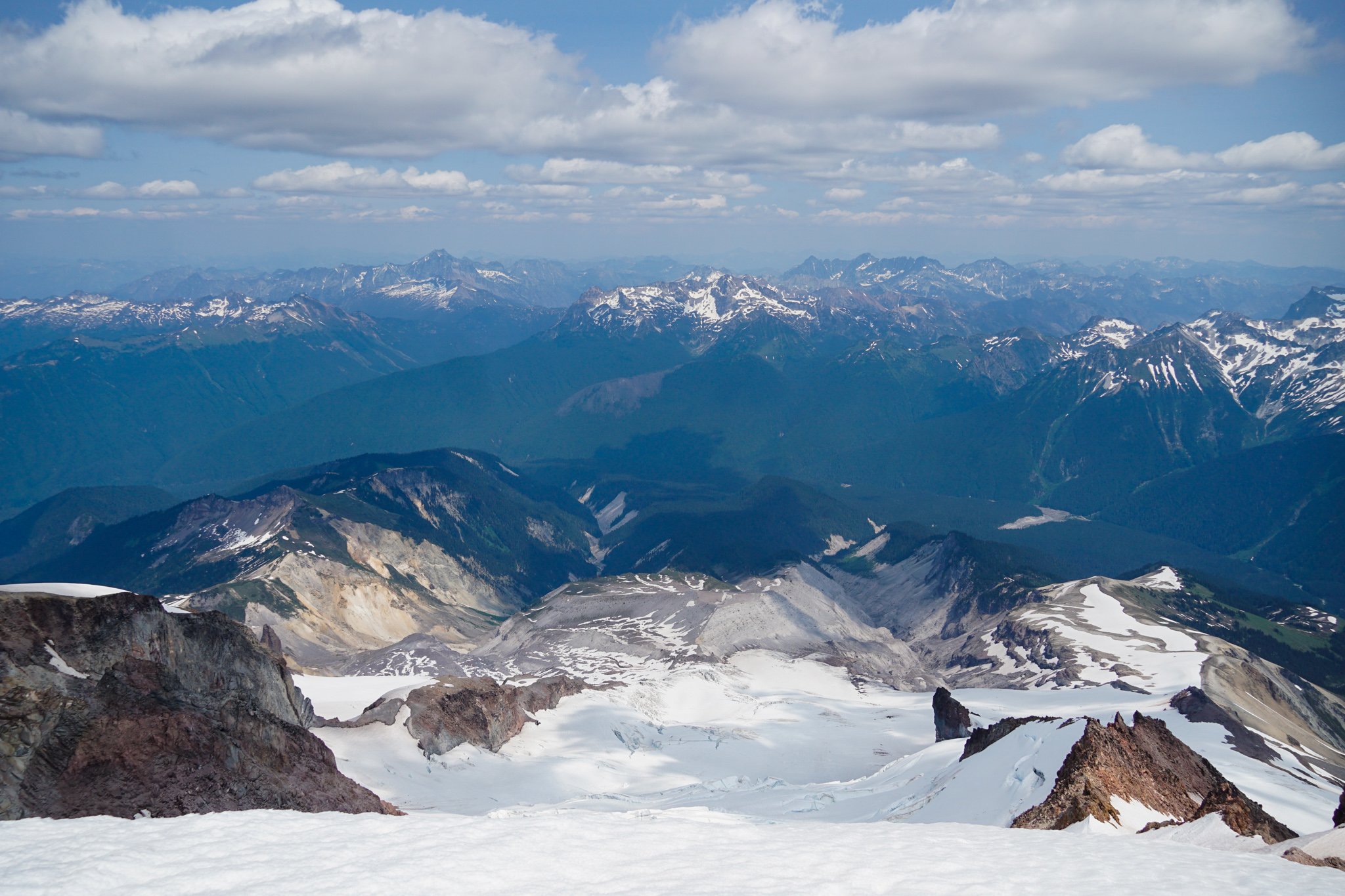
Trip: Glacier Peak Wilderness - Glacier Peak via Cascade Pass Trip Date: 07/01/2023 Trip Report: Glacier Peak is already known for its long approach, so Anthony, Wyatt and I decided to make it even longer by starting at Cascade Pass. Over the long Fourth of July weekend, we did the Ptarmigan, over Dome, to Image Lake, Cloudy Pass, over Chiwawa and Fortress, High Pass, Butterfly Pass, Glacier Gap, to the summit and out North Fork Sauk. I've been dreaming of this high route for five years so it was special to finally realize it. https://climberkyle.com/2023/07/01/glacier-peak-high-route/ Sentinel summit views. White Rock Sunset. Dome Summit Image Lake Magic. Lyman Lakes Cirque of the Butterflies Glacier Peak. Summit. Gear Notes: Backpacking gear, glacier gear, trail runners, Randy Sun. Approach Notes: Long car shuttle.
-
https://www.cascadebackcountryalliance.com/post/mount-rainier-proposed-timed-entry-reservations Mount Rainier National Park is considering a timed entry reservation system. We have a few more weeks to comment. The Cascade Backcountry Alliance has been at meetings with the Park representing backcountry users. This is a great opportunity for us to improve the existing climbing permit system, and we have some thoughts on how that can be done. We put together a post summarizing the proposal and how you can make a difference. Please try to take the time to at least read through this post and comment here, or on the blog post itself, with any thoughts and feedback. Or even make a comment to MRNP yourself. Thank you!
-
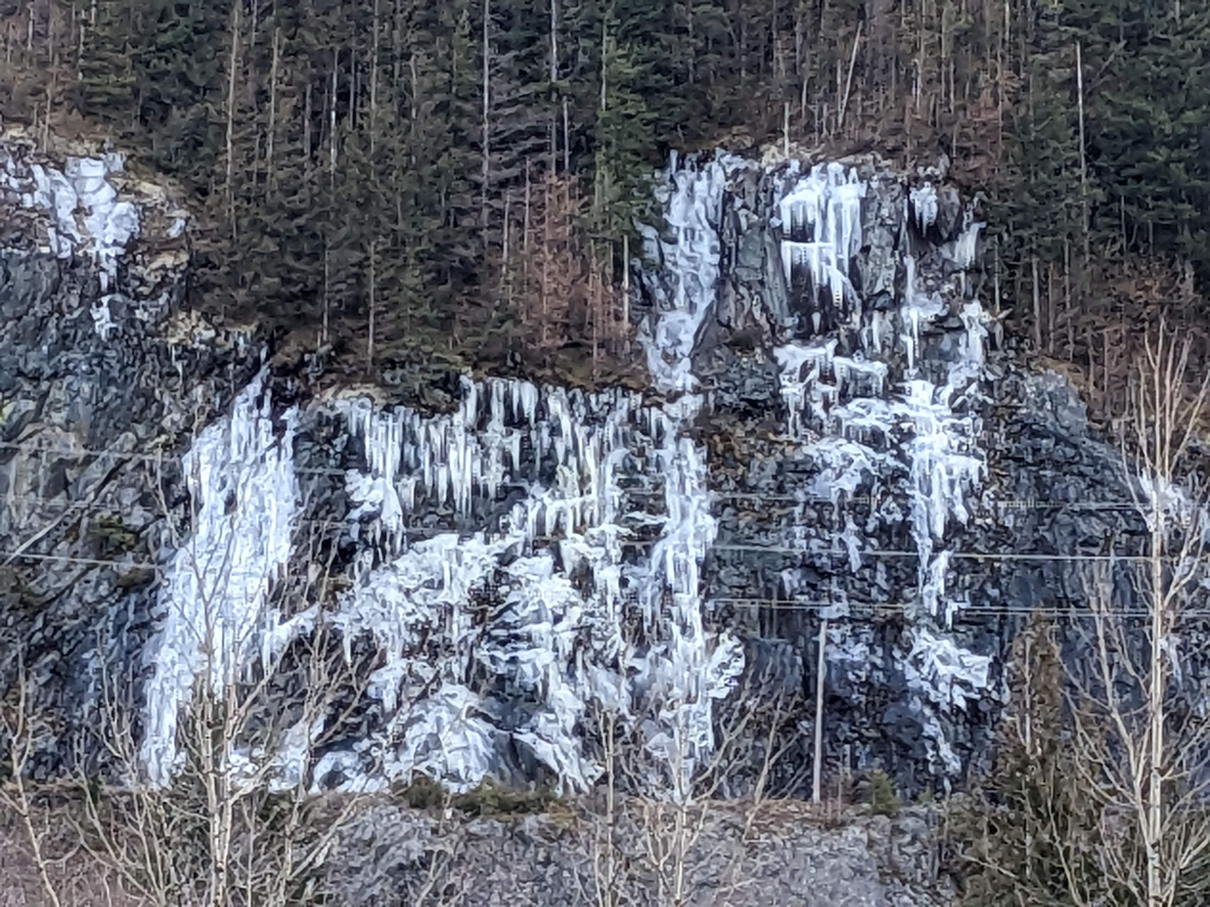
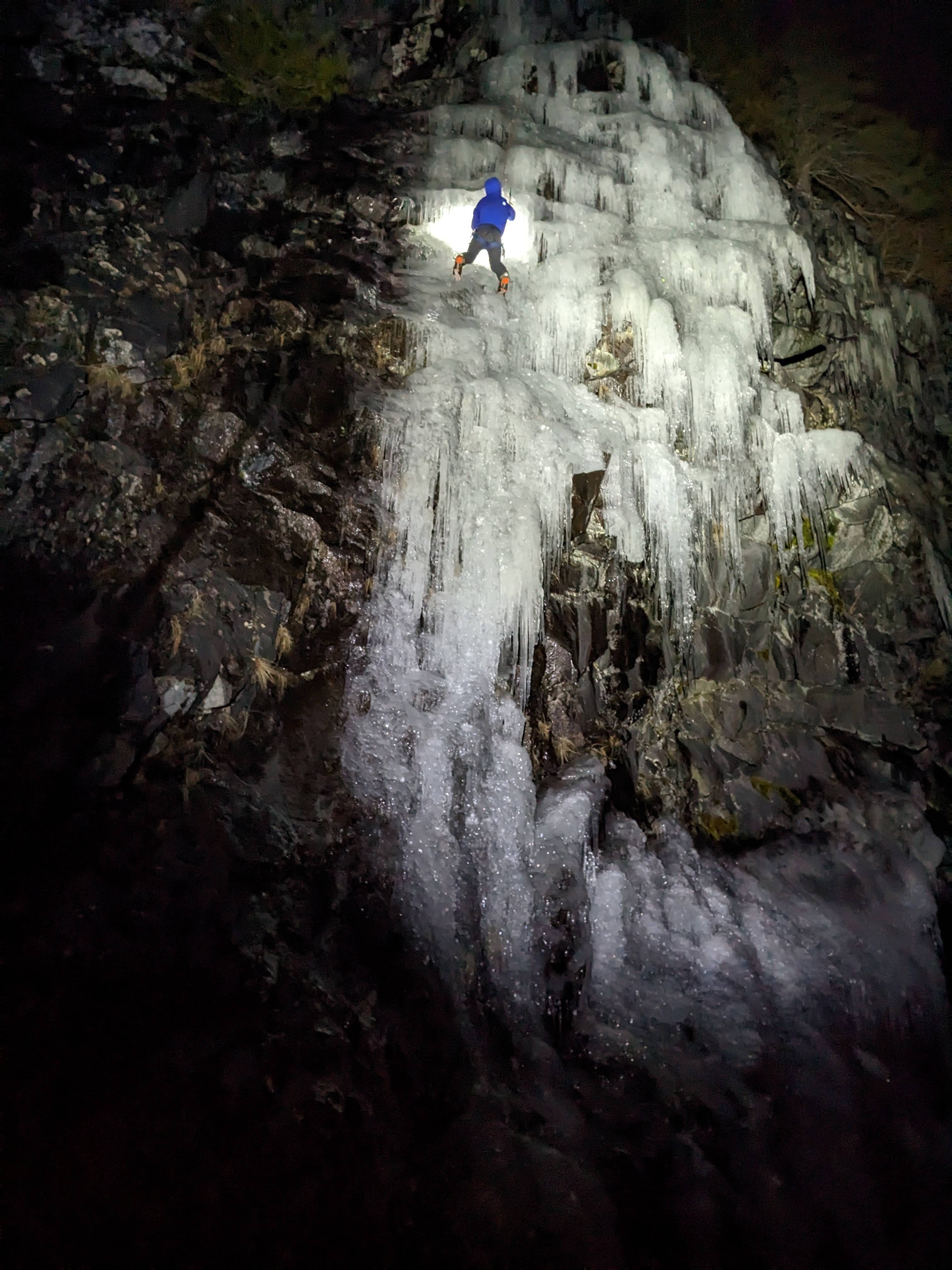
I drove by Exit 38 on Wednesday and was surprised to see a good amount of ice growth on Black Ice Crag (there was nothing there just 4 days ago). So I returned in the dark Thursday evening. It was definitely delaminating and on its last legs (it was 55 degrees in North Bend during the day) but still provided a fun 30m pitch! A determined party can scramble around the right side of the crag and set up a top rope from a tree, as we did. A 70m rope barely reached down. The longer routes would need two ropes to TR.
- 47 replies
-
- pnw
- ice climbing
-
(and 1 more)
Tagged with:
-

[TR] Sloan Peak - West Face "The Sloan Slither" 01/29/2023
Kyle M replied to Tucker_Merrill's topic in North Cascades
Congratulations! It is cool to see someone take on that big, complex face. There are certainly so many more variations and hopefully we'll continue to see cutting edge ascents out there! I think this definitely qualifies as an FA, as most of the logical routes join together in the upper face and there is nothing special about the upper slopes. There was one party last April that climbed Superalpine all the way to the summit and descended the SW ledges instead of rapping the route. -
@CascadeClimberI drive by Exit 38 all the time and it was actually fatter two weeks ago before it fell apart than right now. It's climbable, definitely on top rope, but would be bold on lead. I've seen it in much better conditions than currently. Also some nice ice little bit west of Exit 38, not sure which crags. But it was sub zero windchill on I90 today, so I didn't see anyone climbing it, and tomorrow it's really warming up and done for.
- 47 replies
-
- pnw
- ice climbing
-
(and 1 more)
Tagged with:
-
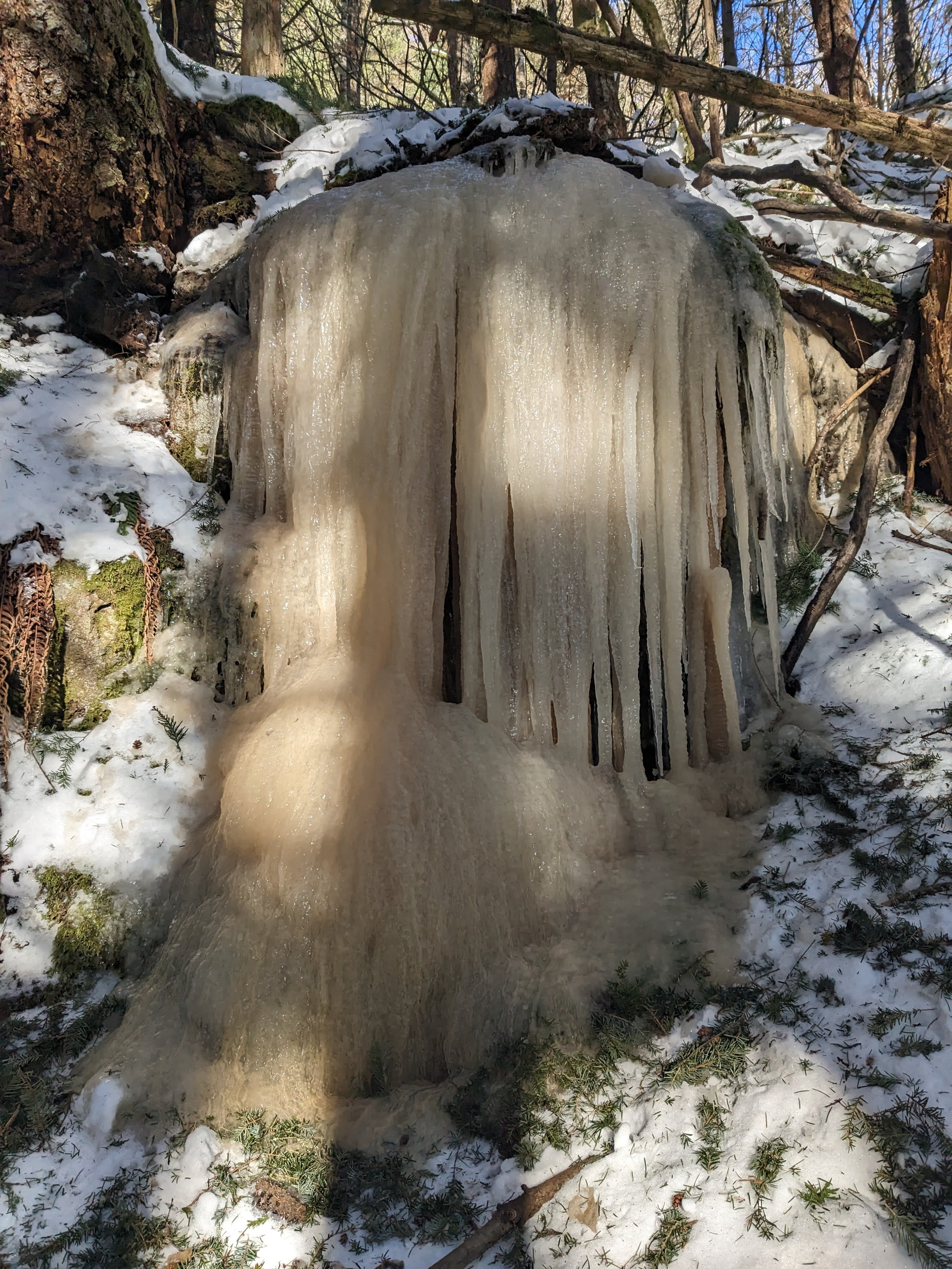
Ice in the Cache Couloir. Probably 15-20m, pretty fat looking. The other bigger climbs along the east end of Snow Lake are nowhere near in yet.
- 47 replies
-
- pnw
- ice climbing
-
(and 1 more)
Tagged with:
-
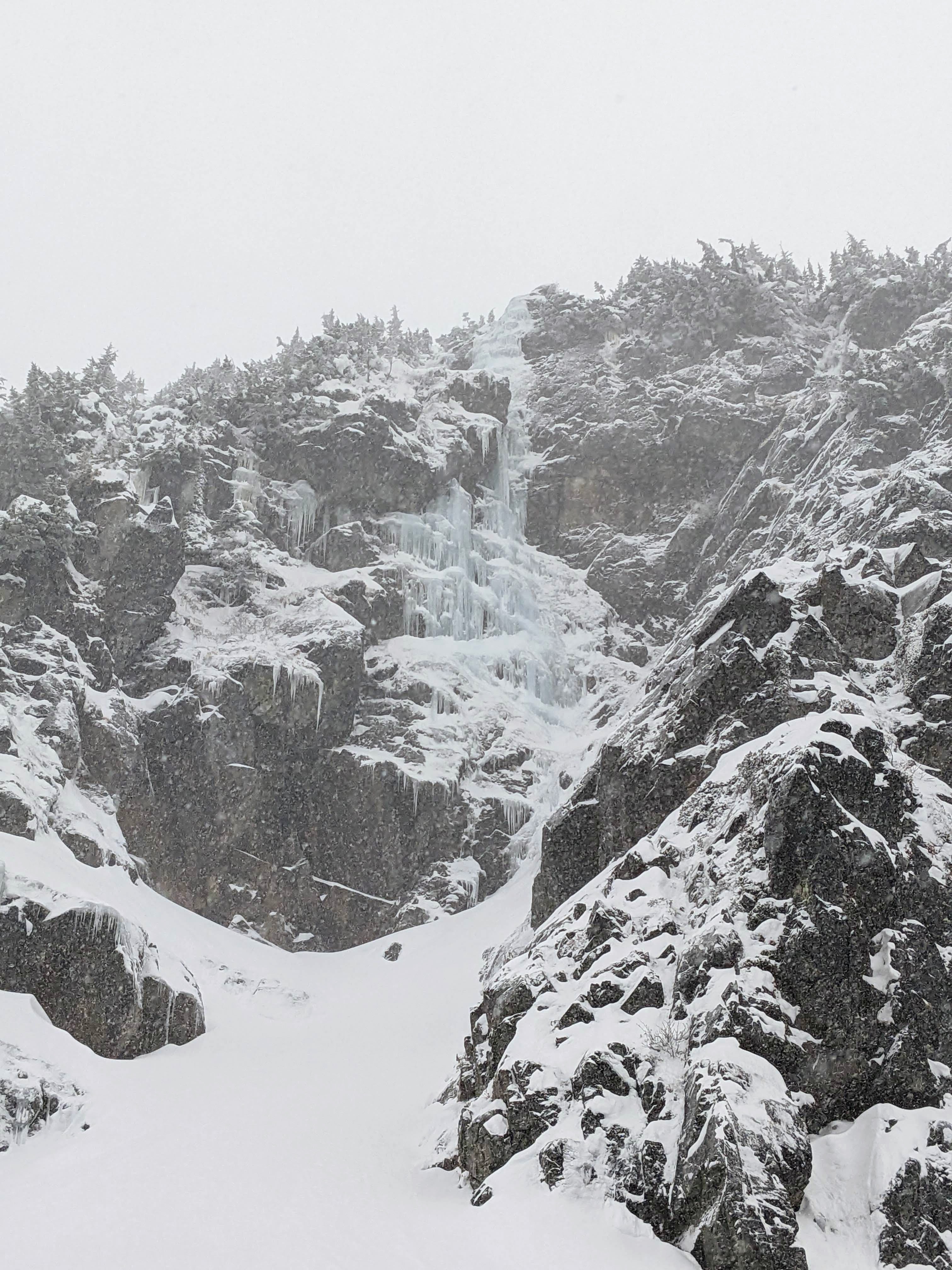
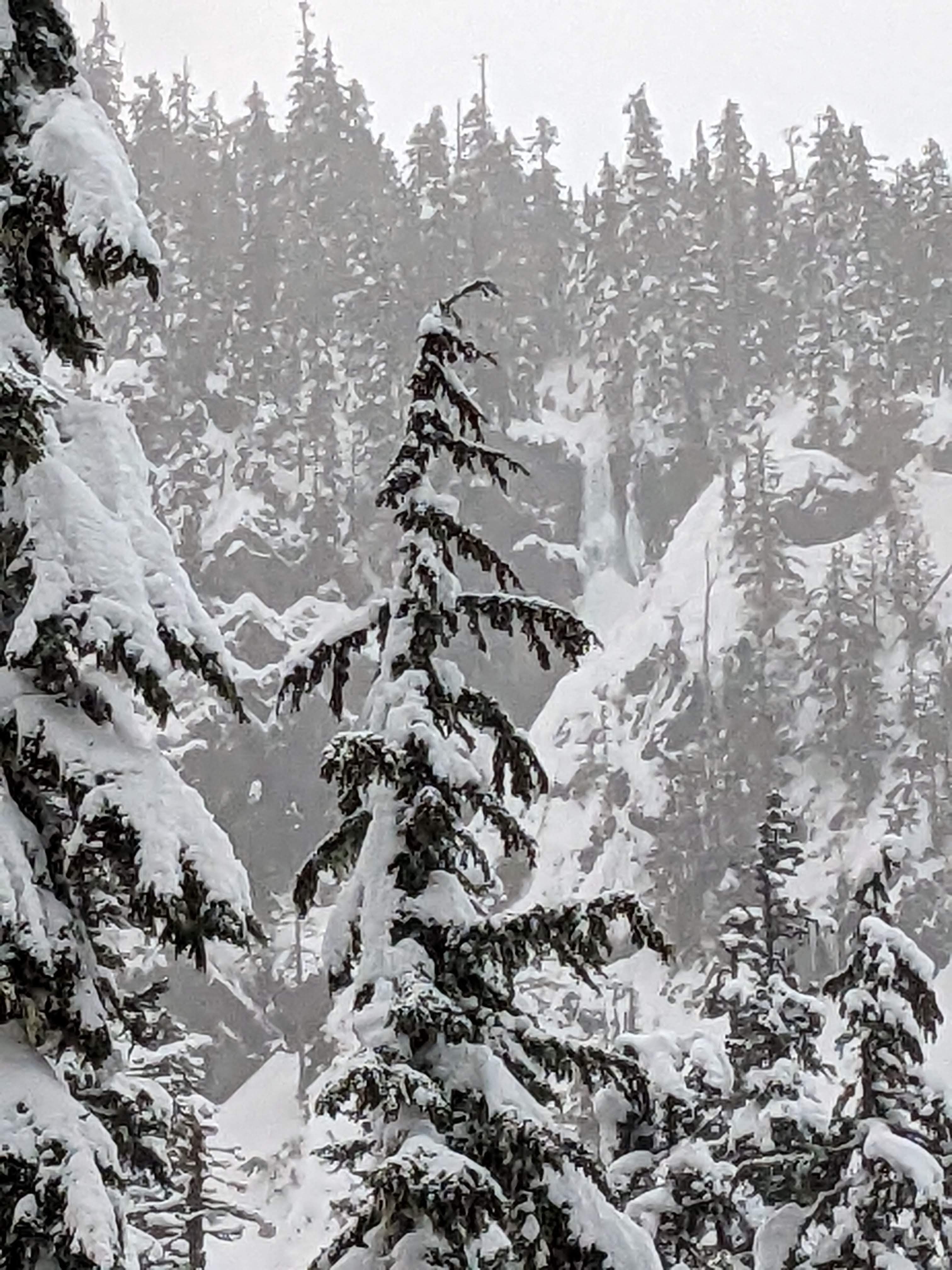
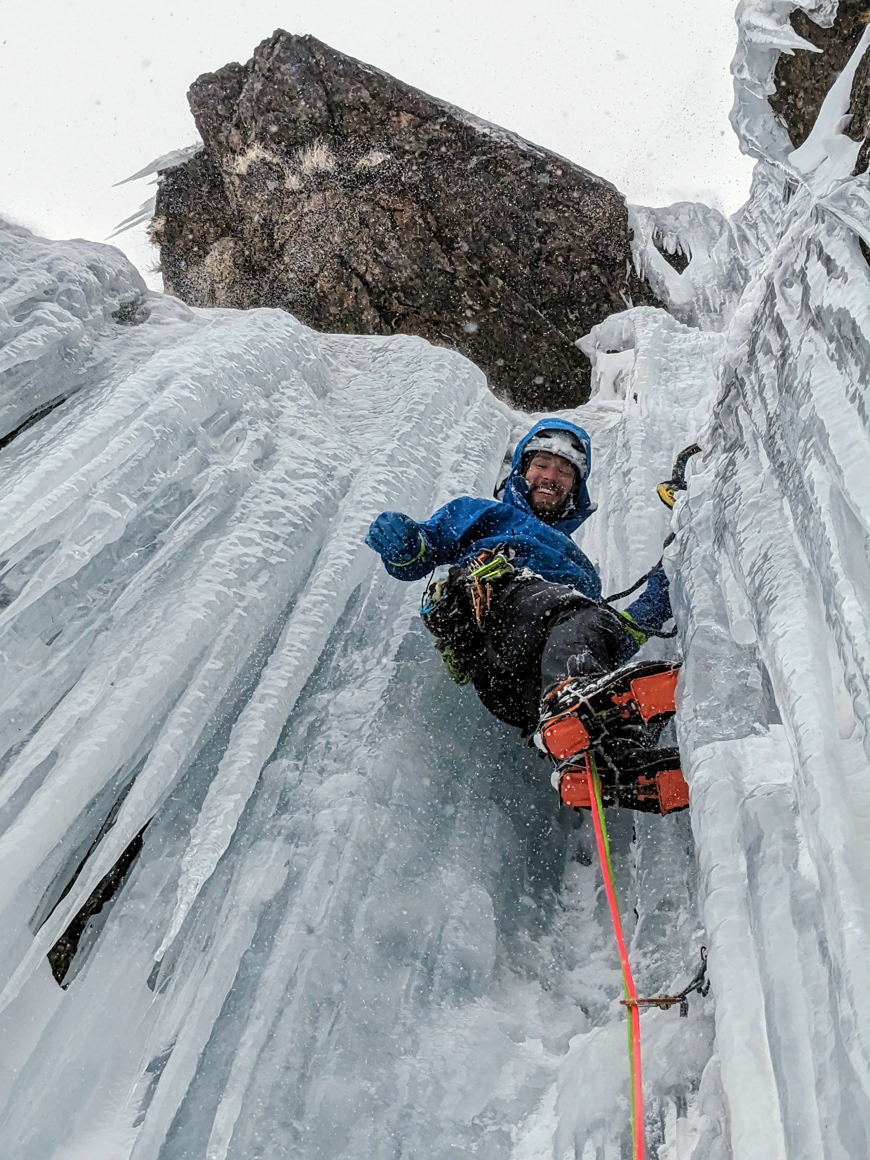
@Michael Telstadled me up Flow Reversal today. Anything that wasn't vertical was a bit messed up by the snow and rather insecure, but the steep climbing was great and protected well! We spotted this one in the valley on the approach, possibly Not Quite a Plum?
- 47 replies
-
- 1
-

-
- pnw
- ice climbing
-
(and 1 more)
Tagged with:
-
@manninjothat looks awesome! Did you leave the logging roads around 2700 ft and just follow Seymour Creek from there, or did you take more of the regular North Twin approach? Are the climbs around 4700 ft?
- 47 replies
-
- pnw
- ice climbing
-
(and 1 more)
Tagged with:
-
Drove out to Vantage today, but things aren't looking too good there. Frenchman is flowing hard, not even close. A little bit of climbable stuff to the right. Think it needs to be colder. Heard Soap Lake and Banks are doing well, but did not have time to make it out there.
- 47 replies
-
- pnw
- ice climbing
-
(and 1 more)
Tagged with:
-
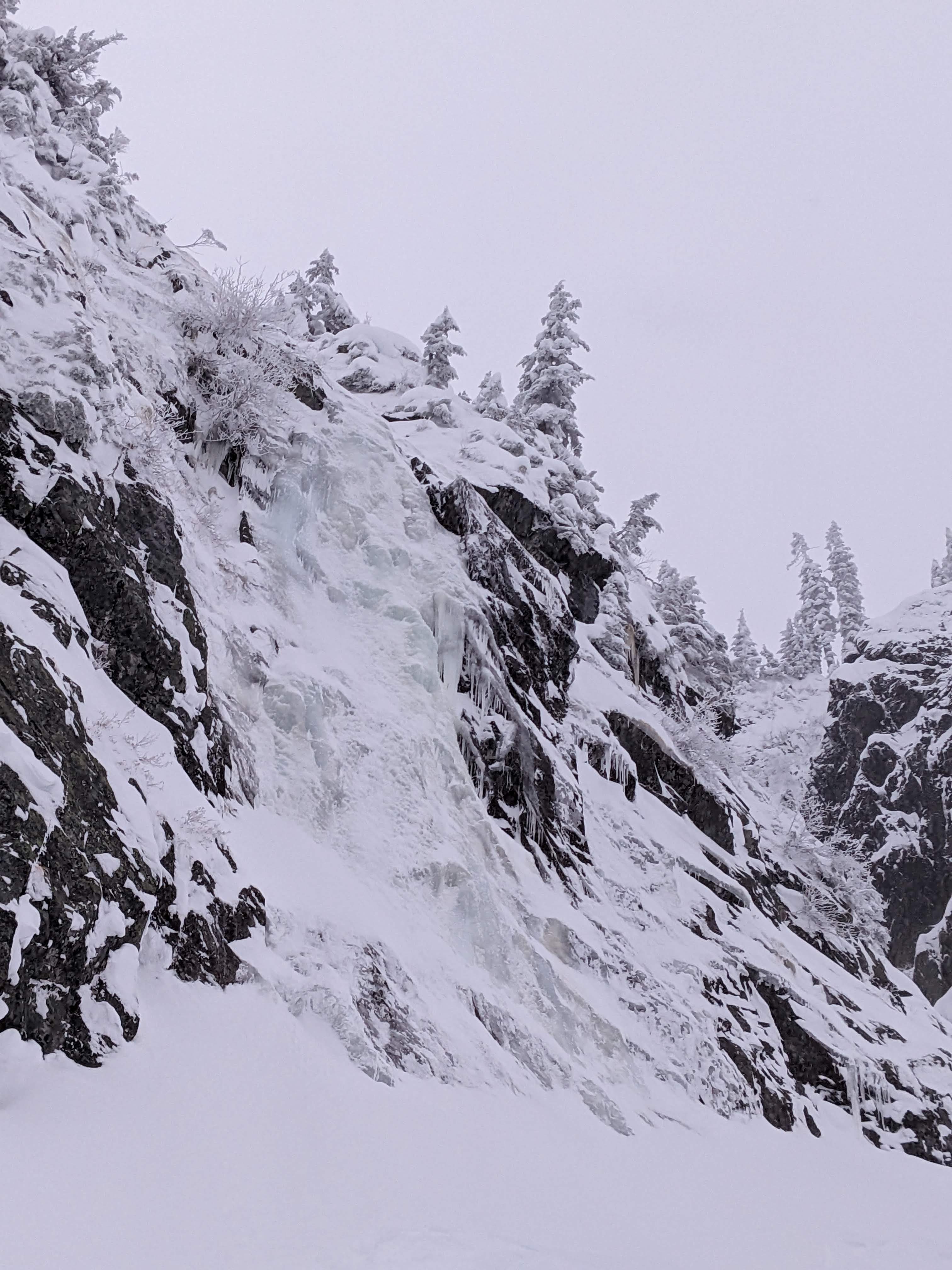
@PorterMshared this pic of Chair with me. He said it looks like thin ice on rock, with not much snow. This is not too surprising because ever since the snow started, it has been quite cold and lacking freeze thaw. There is better ice to be found down near Rap Wall above Source Lake.
- 47 replies
-
- 1
-

-
- pnw
- ice climbing
-
(and 1 more)
Tagged with:
-
Went up to the Damon Mine to check out the climbs there. The road was blocked by a small landslide that added 3 miles of road walking. The climbs were not quite in. I'm not sure if it was slightly too warm or too dry, or a combination of both. The snow on the road was still low density, preserved powder even two weeks after the last snowfall. It has been cold and incredibly low humidity. After a dry fall, it seems there isn't much moisture moving in the ground to form the climbs. We went to the far right climb and played around on the first 50m pitch, which had some easy WI1 to some highly featured, interesting WI2+ topout. The next pitch looked too thin and wet to continue.
- 47 replies
-
- 1
-

-
- pnw
- ice climbing
-
(and 1 more)
Tagged with:
-
Yeah I agree, website hosting isn't cheap. My personal blog is about to level up to about $200-$300 a year. There are some other community sites I'm helping support at a few hundred dollars per year. The sheer number of photos on CC costs a lot. At least we're not like one other notable forum, which un-transparently asked for $12k with no explanation of why it cost so much. I think where I could provide some value is free web consulting if y'all have tech questions. I'm slightly scared however to look at this archaic tech stack
-
Hey guys, just found this thread. I've gotten a lot from CC over the years and it's disappointing FB has taken so much traffic. I'm pretty busy with some other related organizations (and putting down quite a bit of money for them) but I am pretty proficient in web development so if you need an eye to look at things, let me know. In the mean time, I'll donate and try to spread the word about CC needing donations to my followers.
-
Some friends went up to Heliotrope last weekend (Nov 12-13) and reported good water ice above the trail like in years past. I think with the road washout and the extra hiking it was 4200 ft gain. They used the map I made of various climbs: https://caltopo.com/m/06CB. The early waterfall on the trail was not quite in. Saw a pic of Colfax, Cosley Houston had basically no ice. Perhaps it was too warm most October, and then just suddenly got cold so no freeze thaw. We also didn't get our first snowfall until late October. A friend went up to New York Gully this week, no ice.
- 47 replies
-
- pnw
- ice climbing
-
(and 1 more)
Tagged with:
-
Trip: Jack Creek - Jack Creek High Orbit Trip Date: 10/15/2022 Trip Report: https://climberkyle.com/2022/10/15/jack-creek-high-orbit/ Last weekend, I took advantage of the lingering summer by doing a two day high route orbiting the Jack Creek Valley. On the first day, I went over Windy Pass, past Eightmile Lake, Horseshoe Lake, and over Goat Pass, behind Ingalls to near Van Epps Pass. The second day featured a ton of ridge line scrambling and boulder hopping over the Scatter Peaks, Solomon, Nursery, Highchair, and Bootjack. The terrain felt surprisingly remote and beautiful with the fall colors. There was extensive boulder hopping on the red rock that made it feel harder than 18k gain. The scatter peaks offer some fun low fifth scrambling on good rock, if you're into that kind of thing. Gear Notes: "Fastpacking" gear Approach Notes: Trails.
-

[TR] North Cascades - Fisher Outpost High Route 09/25/2022
Kyle M replied to Kyle M's topic in North Cascades
@JasonG your tastes may be a bit too blue collar for me. This route might not have enough schwack for you. It does have a healthy amount of choss and sidehilling, which I specialize in. -
Trip: North Cascades - Fisher Outpost High Route Trip Date: 09/25/2022 Trip Report: Wyatt and I enjoyed a wonderful fall day exploring the region around Outpost Peak and Fisher Pass! We ran down Bridge Creek and up towards Goode, before climbing up the long east ridge of Outpost Peak. There is actually an old decommissioned trail here and would love to learn more if anyone knows anything about it! Outpost has beautiful meadows and larches before some fun scrambling to top it off! It if wasn't for a 12 mile approach, this thing would be classic. We continued on down to Fisher Pass, over Spectacular ridge, Natal Basin, Meulefire-Arrival Col, and Silent Lakes, before rejoining the Easy Pass trail and heading on out. The Meulefire-Arrival Col was a little tricky and I think it could be challenging if you came from the other side, because the main gut on the west side of the col is total death choss. We instead ascended a pink gully just climber's right of it. Total came out to about 30 miles and 11k. What a stunning area! https://climberkyle.com/2022/09/25/fisher-outpost-high-route/ Gear Notes: Running shoes. Poles. Approach Notes: Down down down Bridge Creek.
-
Trip: Northern Olympics - Northern Olympic High Route Trip Date: 09/03/2022 Trip Report: Over Labor Day, I did really fun three day route from Deer Park to Tyler Peak. We camped the first night in Lillian Basin. Day 2 brought us over the summits of Cameron, through the basin above Cedar Lake, and to the ponds near Grey Wolf Pass. On Day 3, we made our way around Walkinshaw and then along Grey Wolf Ridge to Tyler Peak. Lots to explore in this area! https://climberkyle.com/2022/09/03/northern-olympic-high-route/ Gear Notes: Standard backpacking equipment. Two trekking poles recommended for all the choss. Approach Notes: 2 hour car shuttle between Deer Park and Tyler Peak.
-

[TR] I90 Corridor - Mailbox to Granite Traverse 08/11/2022
Kyle M replied to Kyle M's topic in Alpine Lakes
@Rad fixed line is in good shape! I would have expected snow coverage / transitions to make things more annoying but I guess you would not have the pine needle issue. The continuation is to go over Low, do the Kaleetan Granite traverse, climb the west ridge of Chair, traverse Chair to Bryan to Tooth, run down to Alpental, hike up Snoqualmie and do the CURL (commonwealth ultimate ridge linkup: Snoqualmie - Lundin - Red, Kendall) or then into the GURL (gold creek) with Alaska, Thompson, Chikamin, Four Brothers, Alta, and come out Rampart Lakes. Start from Lake Washington, run Coal Creek over Cougar, Squak, Tiger, Rattlesnake, then Si, Tinereffe into Mailbox. An endless route!!!


