

Tom_Sjolseth
-
Posts
541 -
Joined
-
Last visited
-
Days Won
2
Content Type
Profiles
Forums
Events
Posts posted by Tom_Sjolseth
-
-
@Mick.. anytime.
-
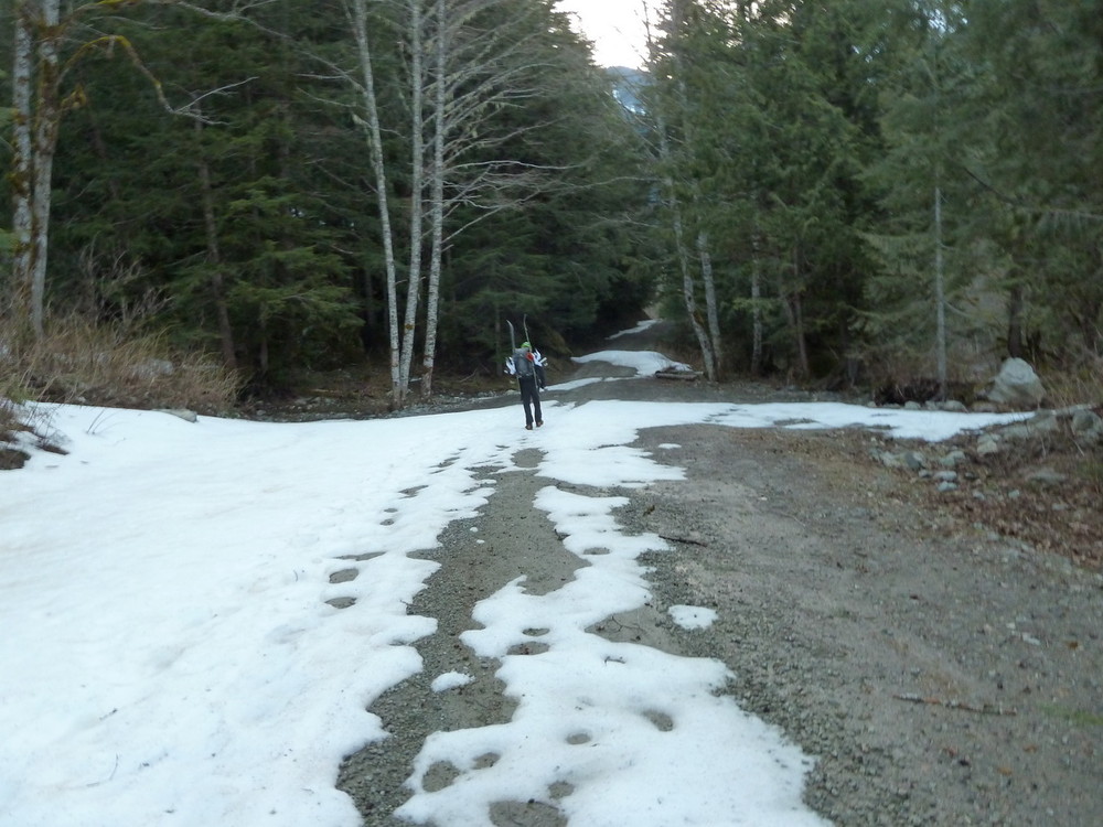
The lower trail is hard to follow. Some idiots marked trees with orange spray paint that can be seen from the main trail. There is plenty of flagging to keep you on route until you reach the main boot path close to the creek about 300' above the Baker River trail. I thought the boot path was great, but carrying skis up it leaves something to be desired - lots of downed trees to get caught up on.
-
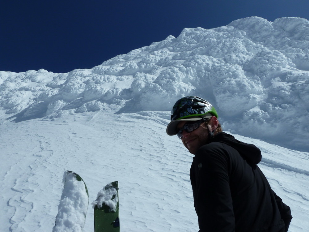
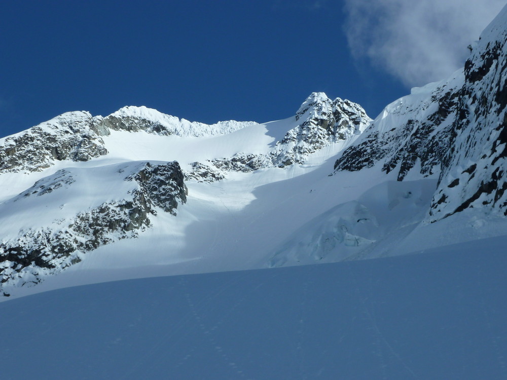
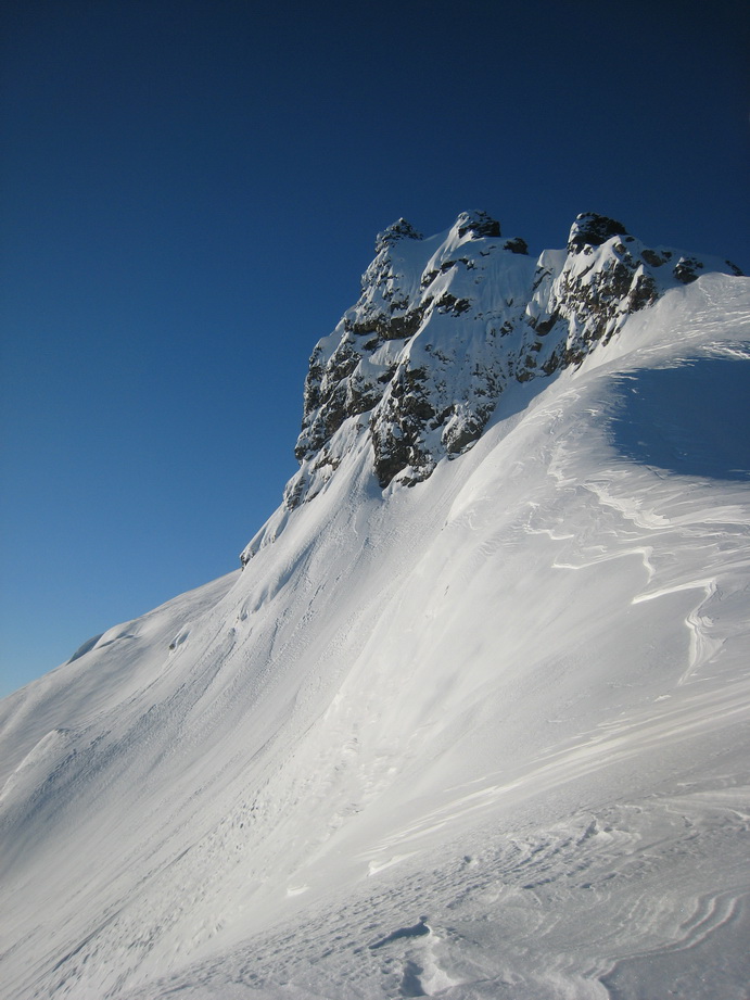
Trip: Mt. Blum - NW Face (Ski)
Date: 5/13/2011
Trip Report:
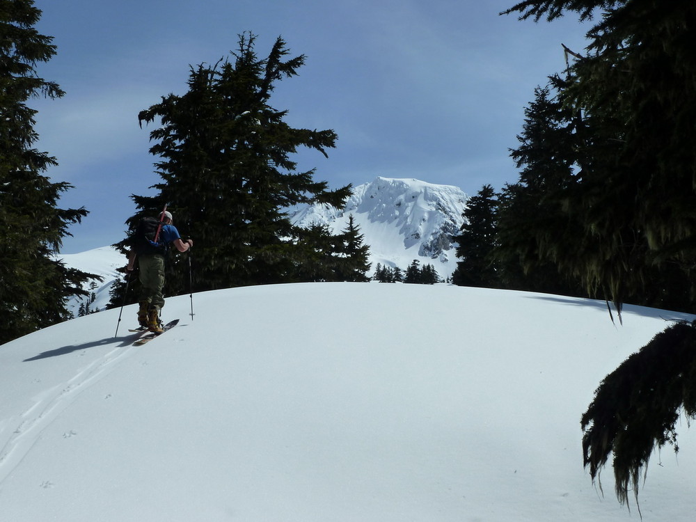
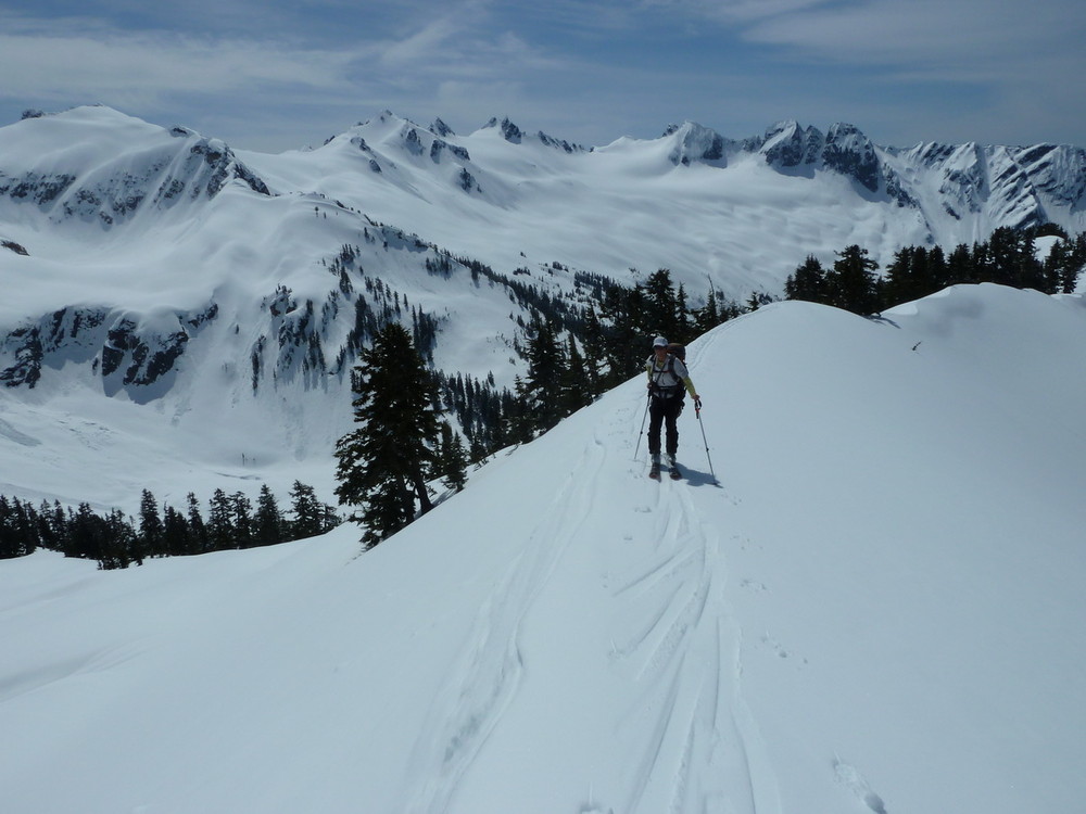
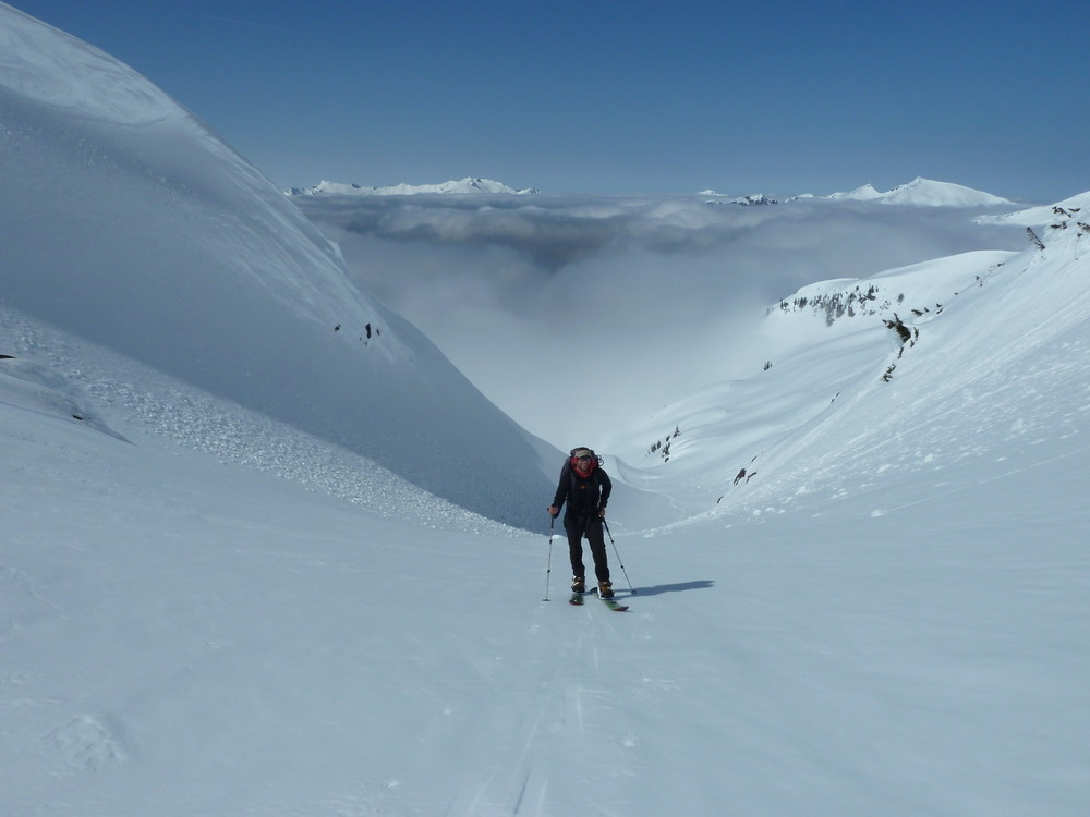
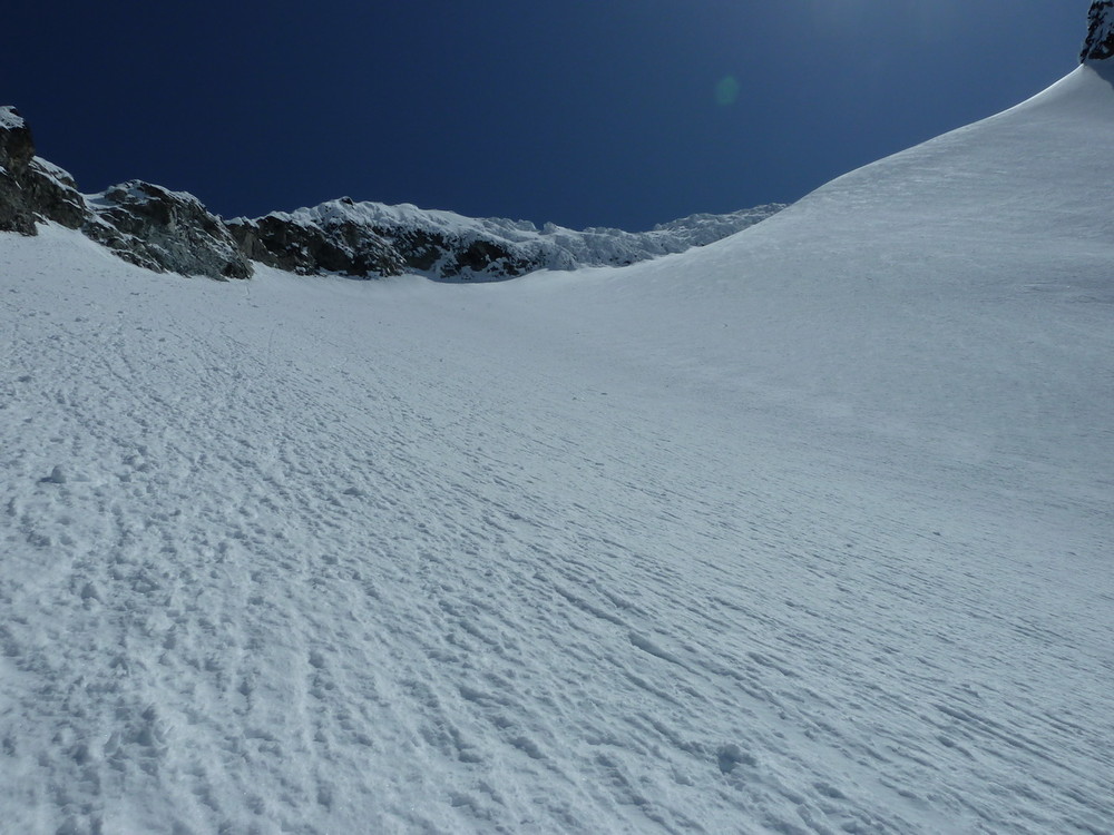
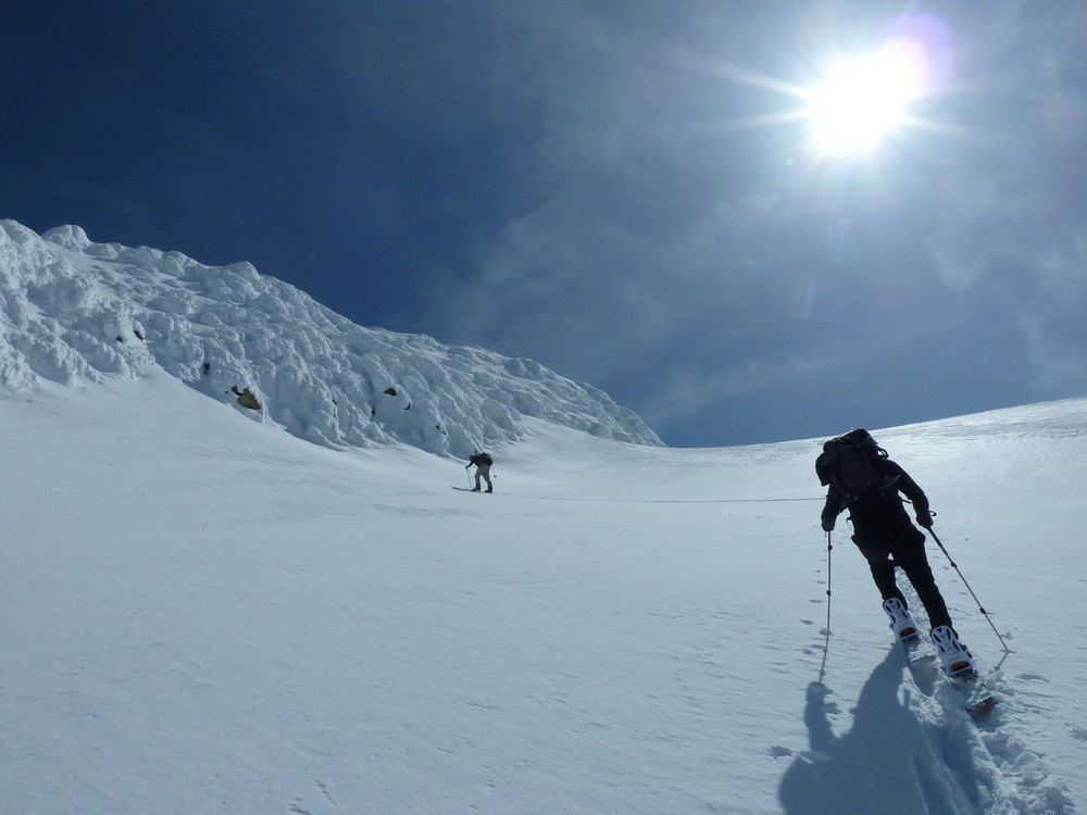
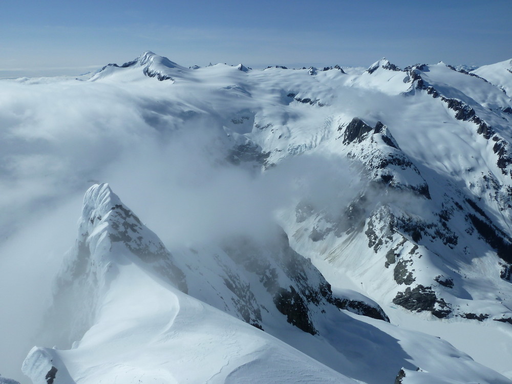
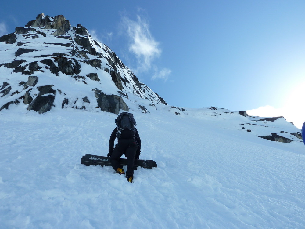
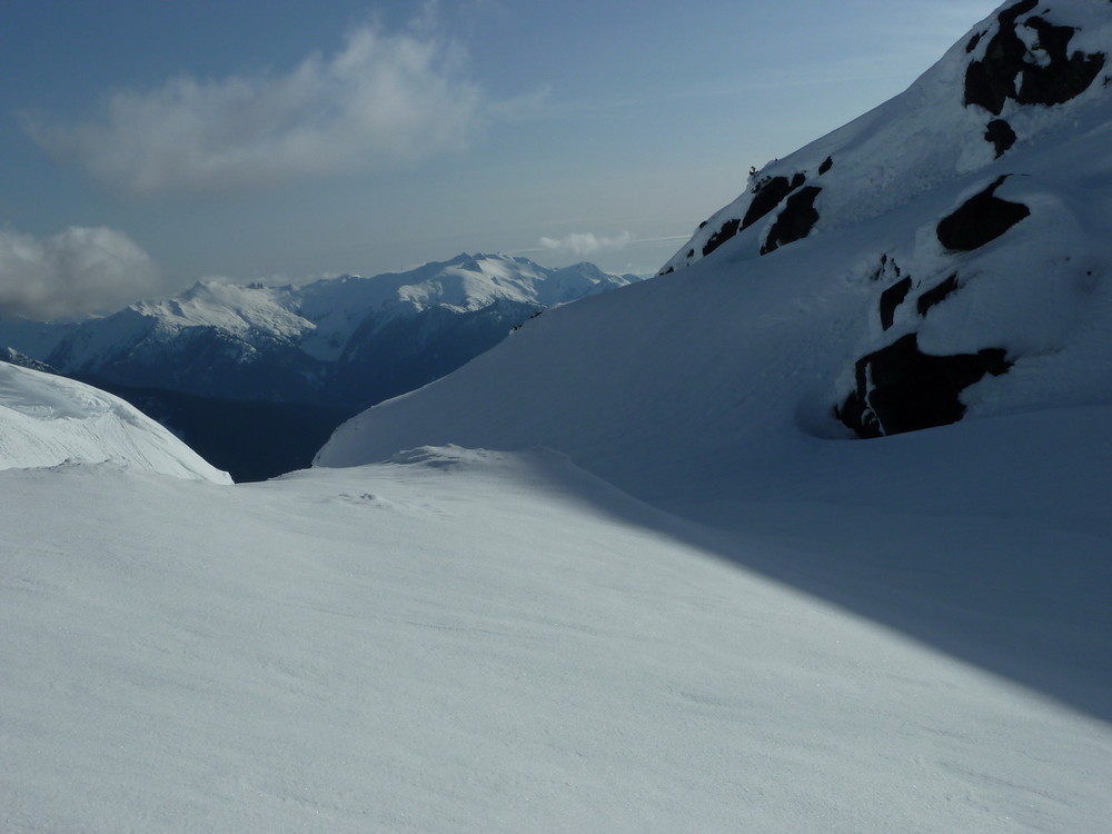
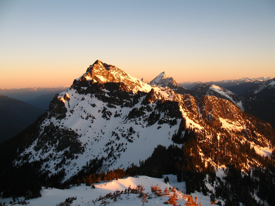
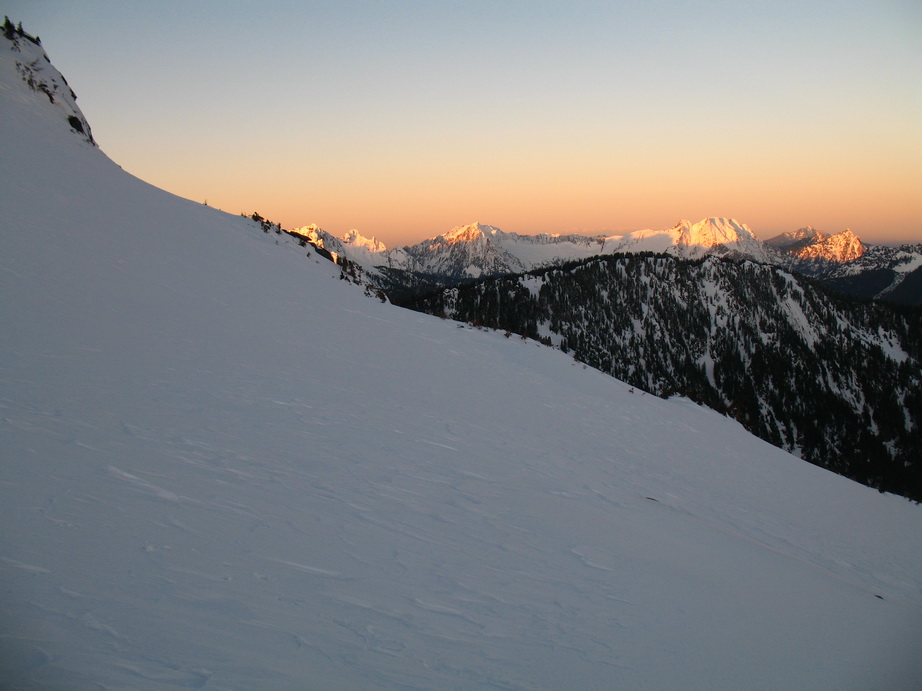
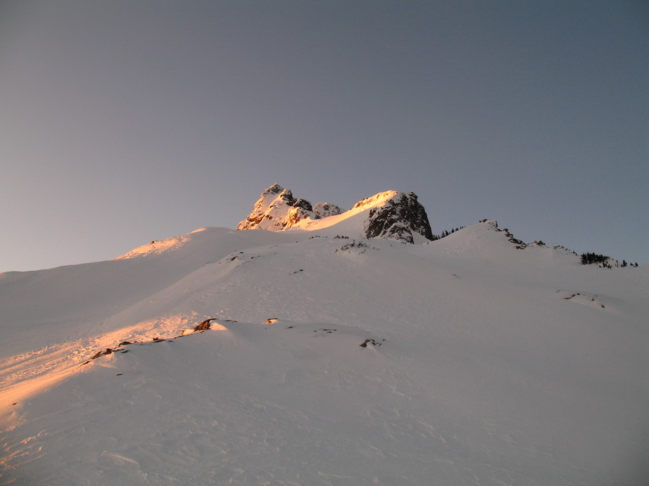
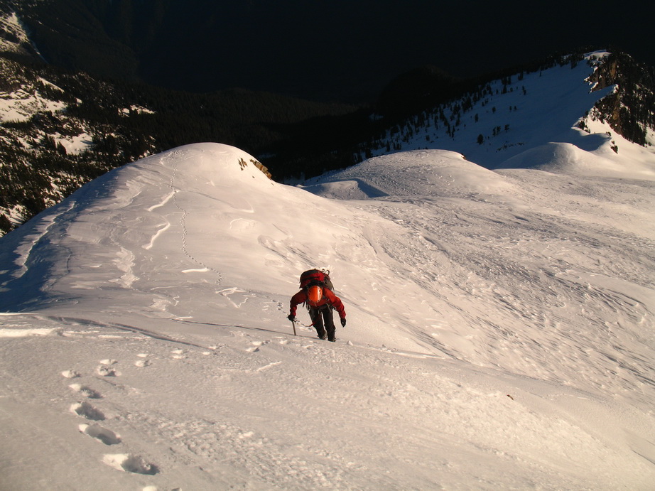
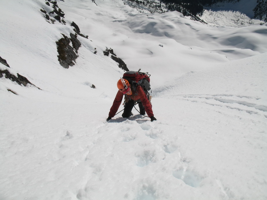
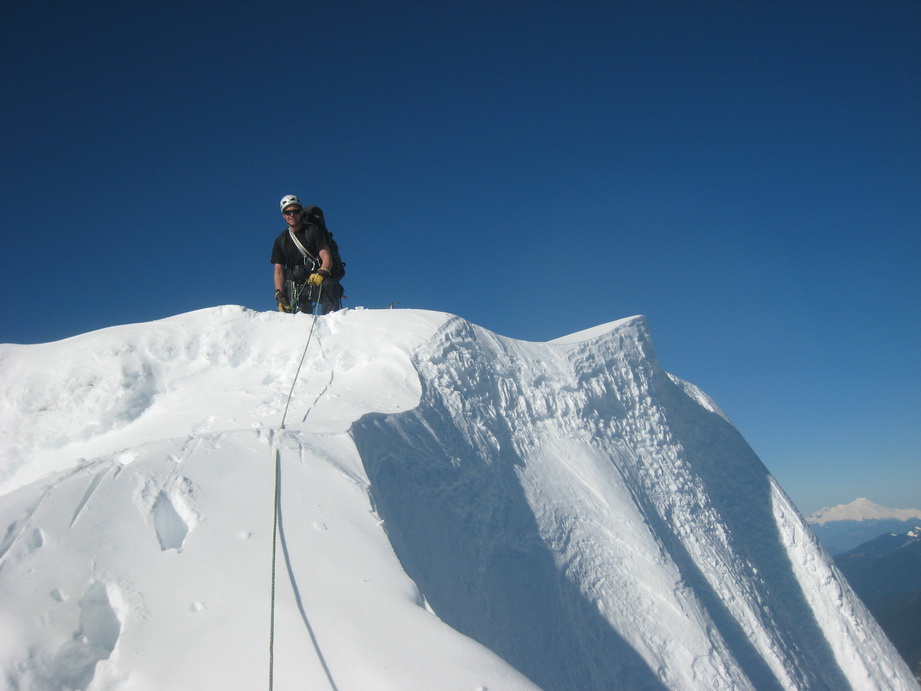
We carried skis 4000 vertical feet up the steep Blum Creek fisherman’s trail, before donning skins at ~4700. From there, we skinned then booted up the NW Ridge to within 150’ of the summit before being turned back by an enormous overhanging cornice.
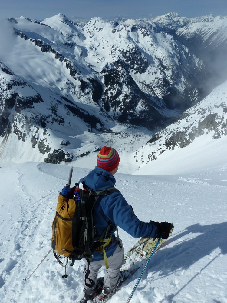
I skied the upper NW Face to the NW Ridge, then we all skied back down to ~3700’ in Blum Creek.
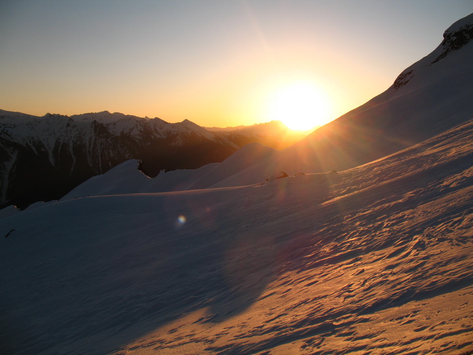
A long, but amazing day with spectacular views and great company.
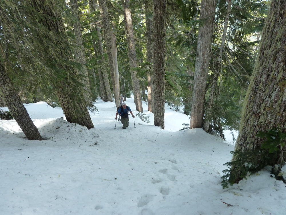
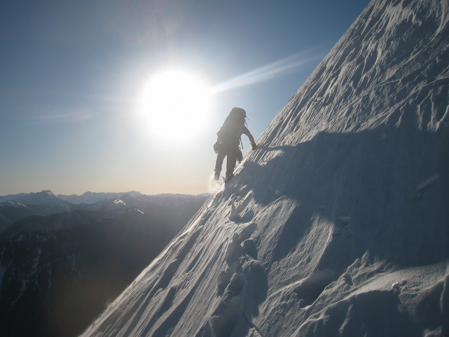
Mike booting the steep approach.
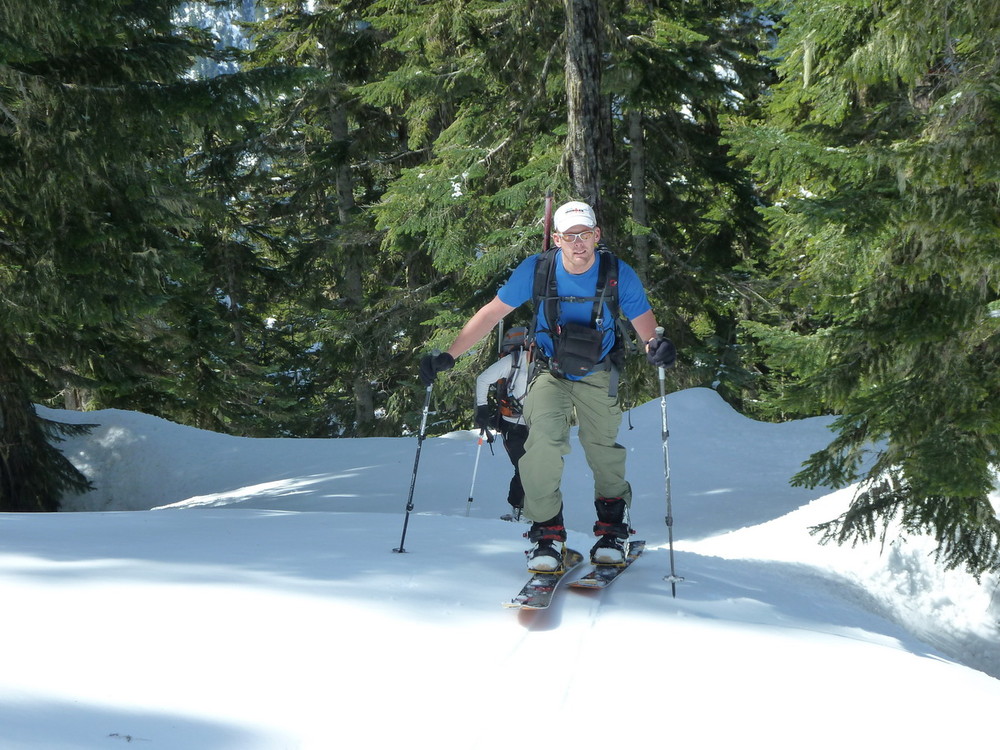
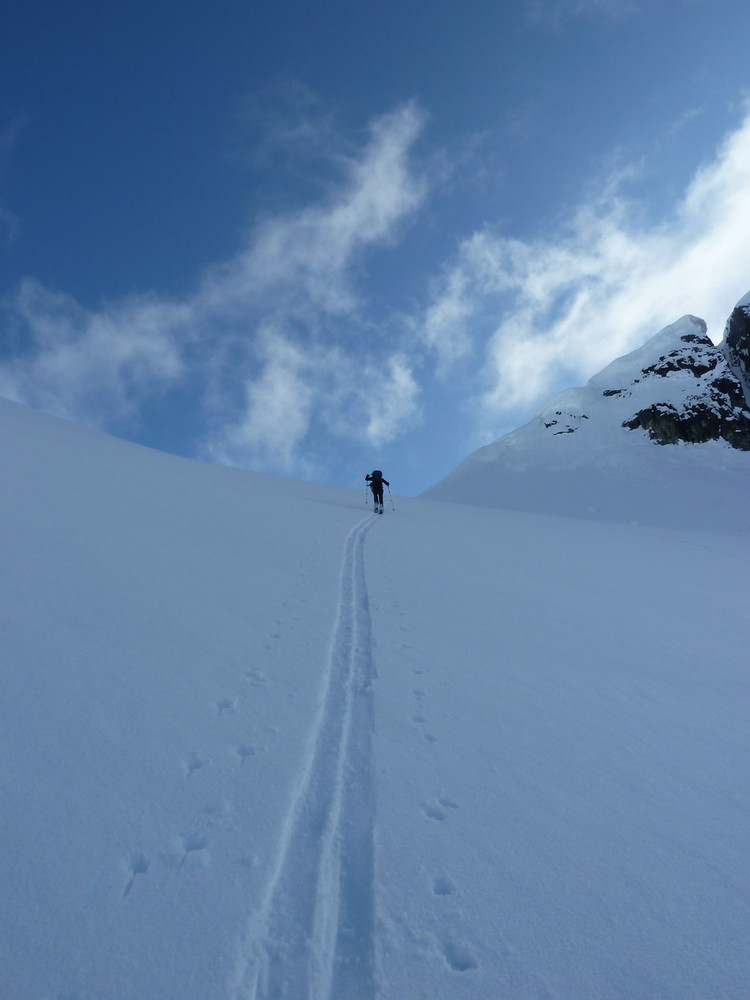
Mike skinning (finally).
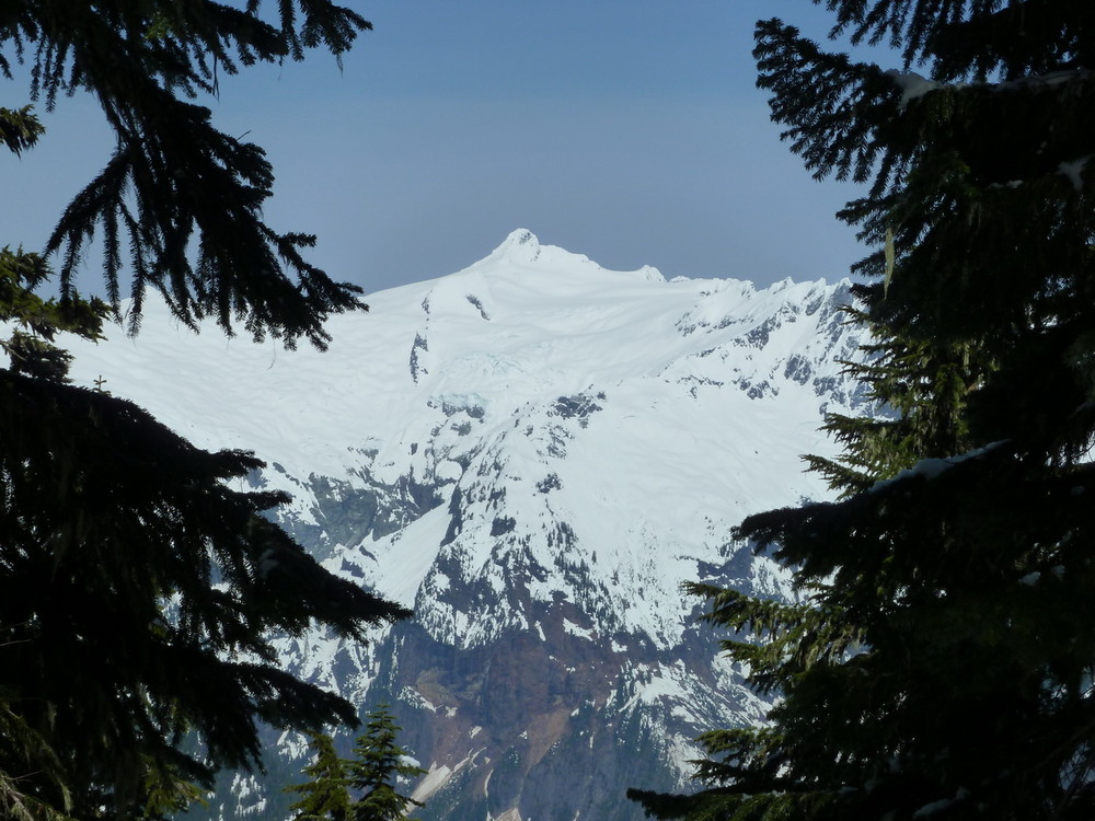
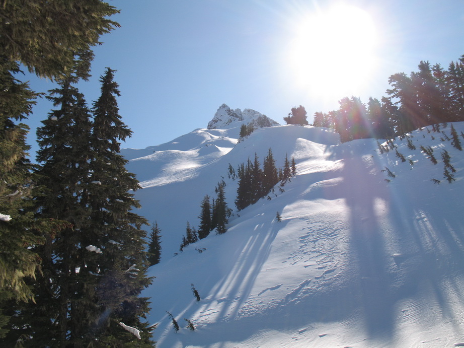
Mt. Shuksan peeks through the trees.
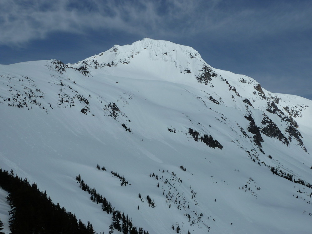
Mt. Blum in the distance.
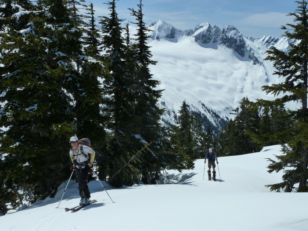
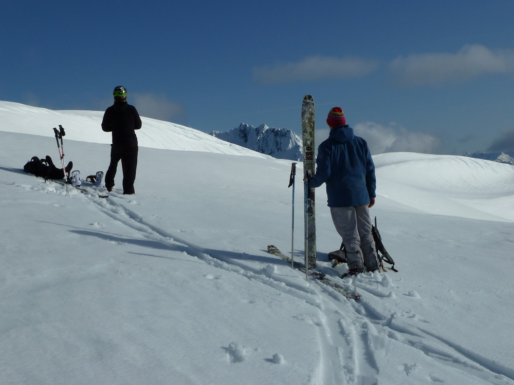
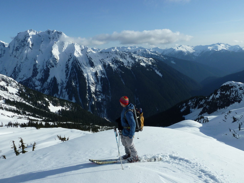
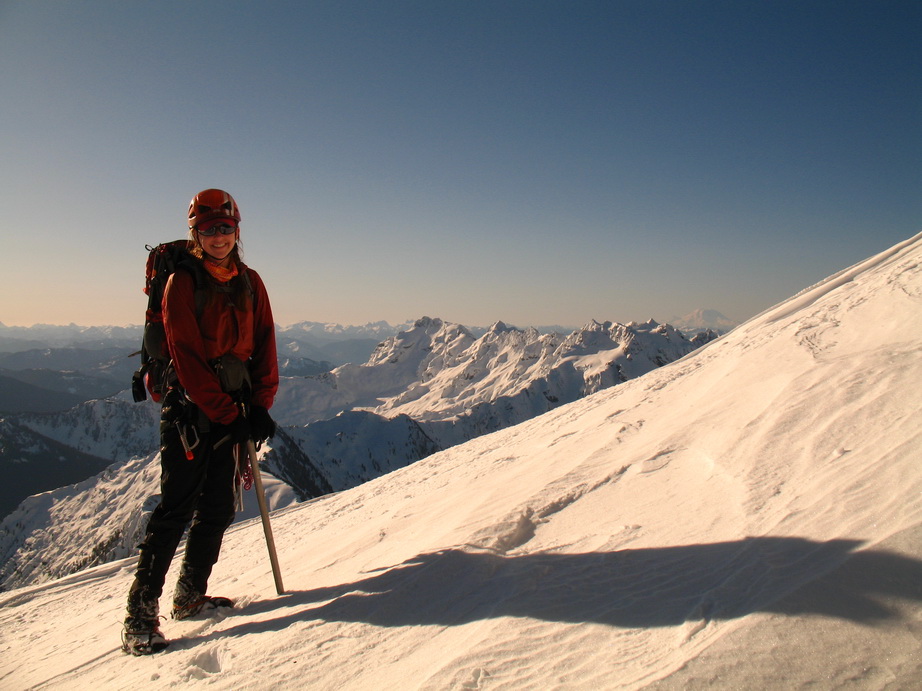
Carla and Mike with Hagan behind.
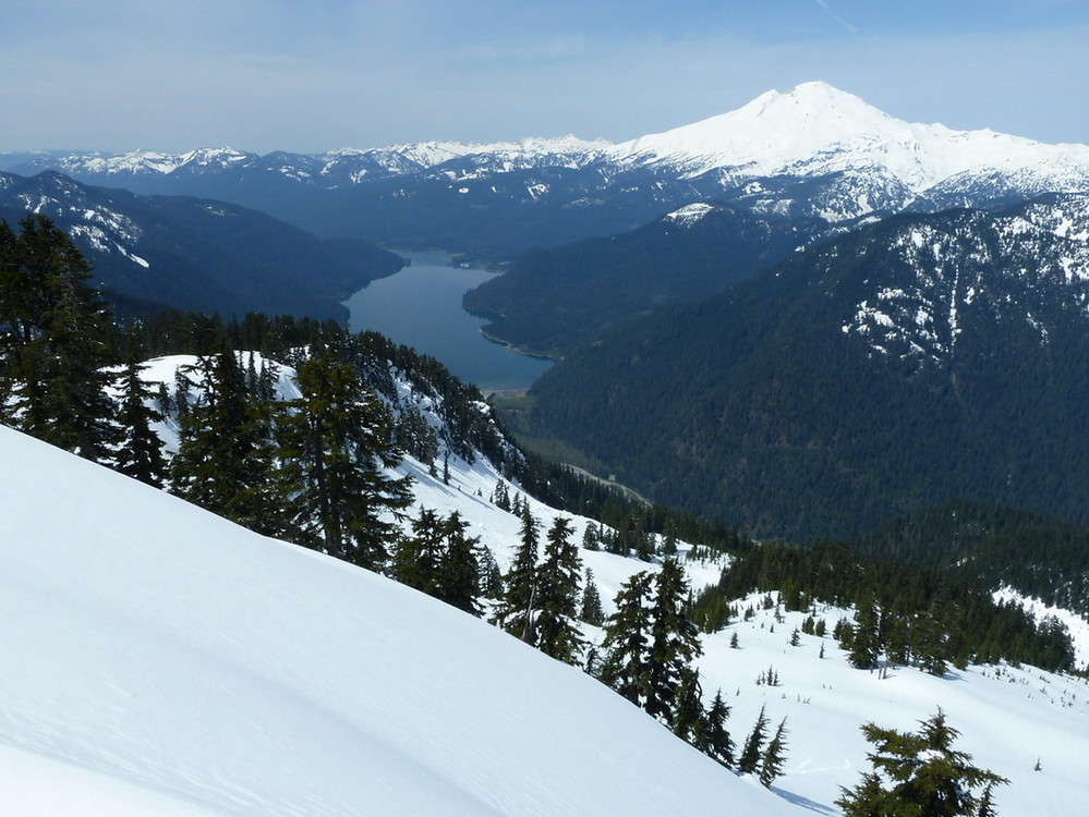
Baker Lake and Mt. Baker.
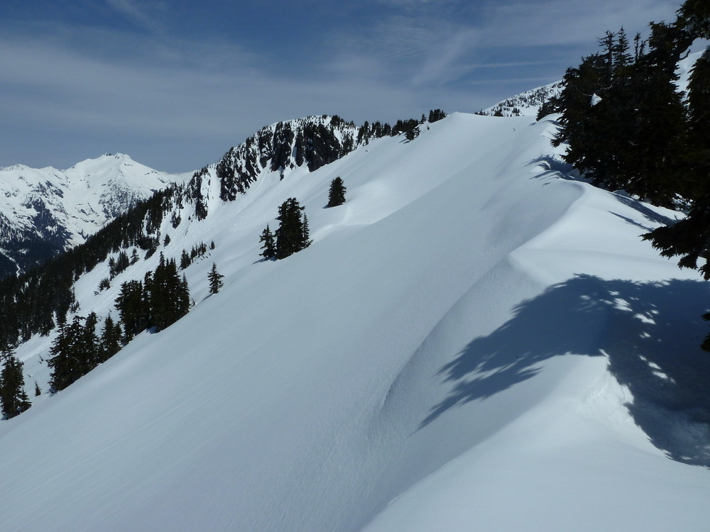
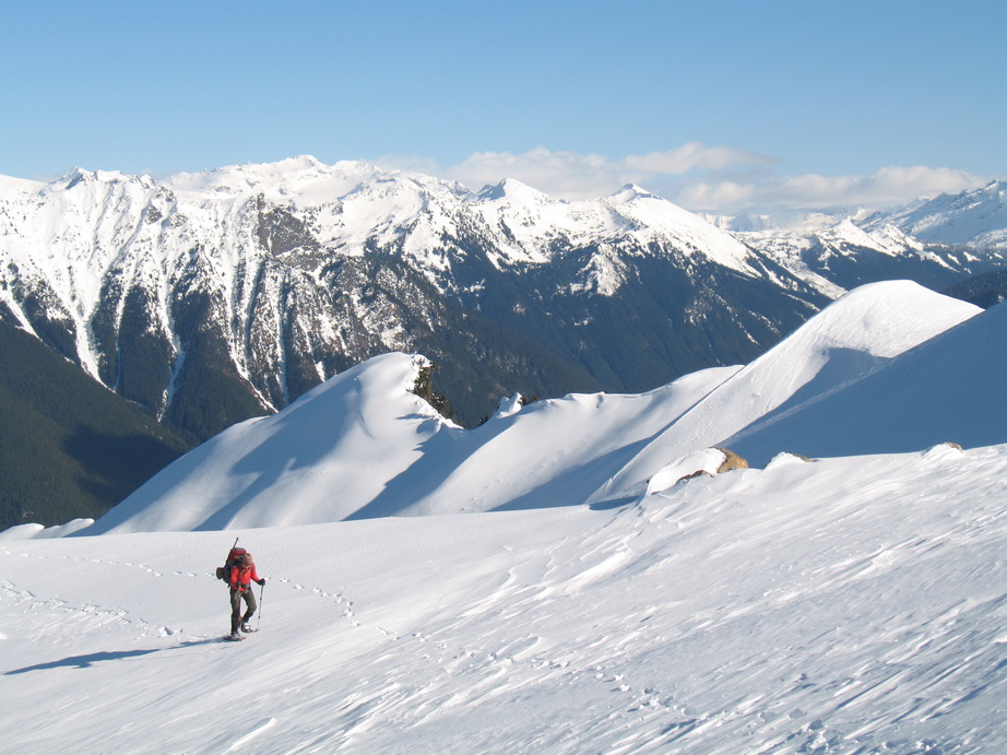
An easy ridge to travel.
Carla with Hagan behind.
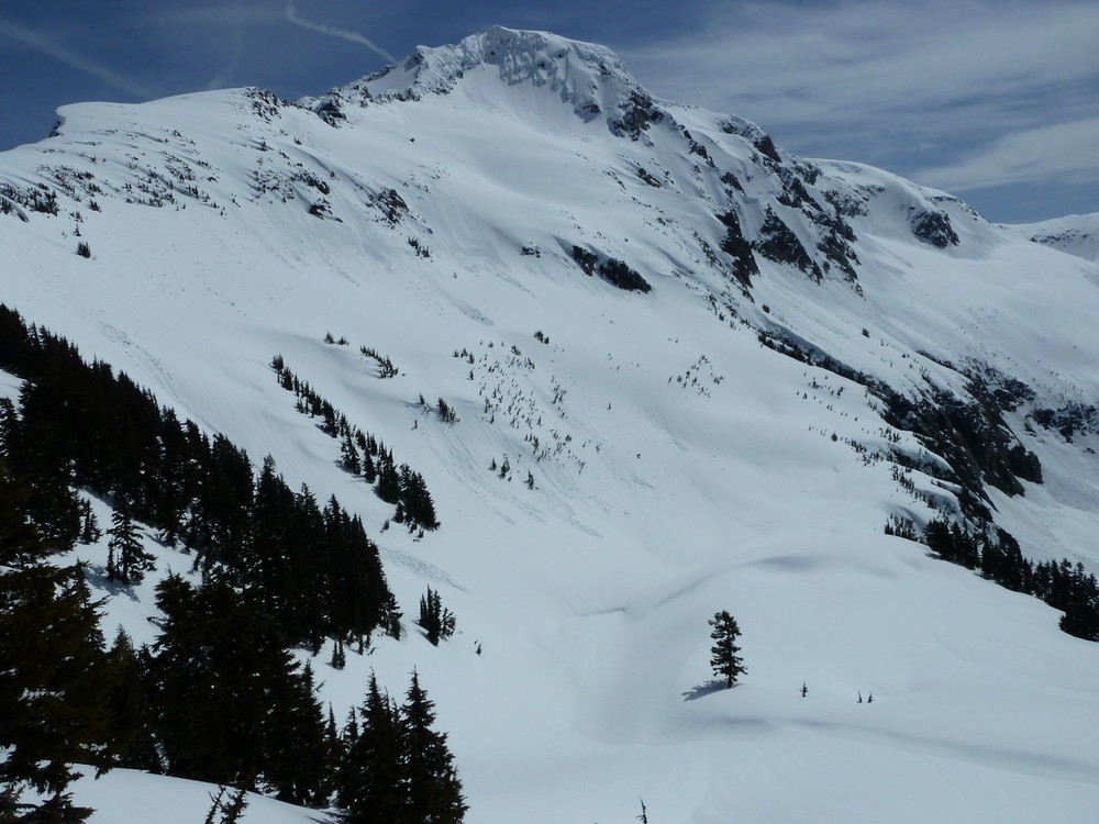
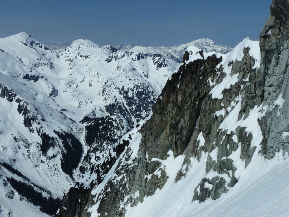
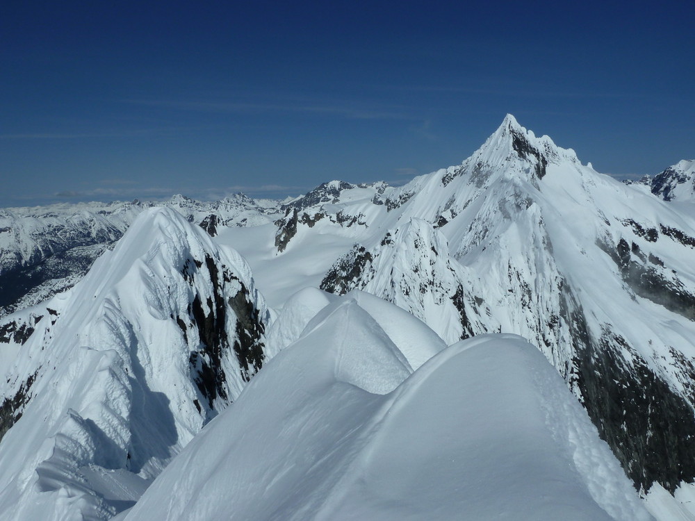
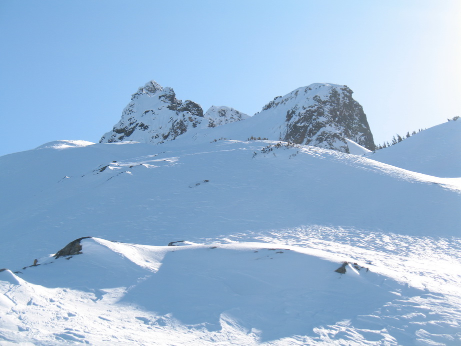
Mt. Blum's W Face.
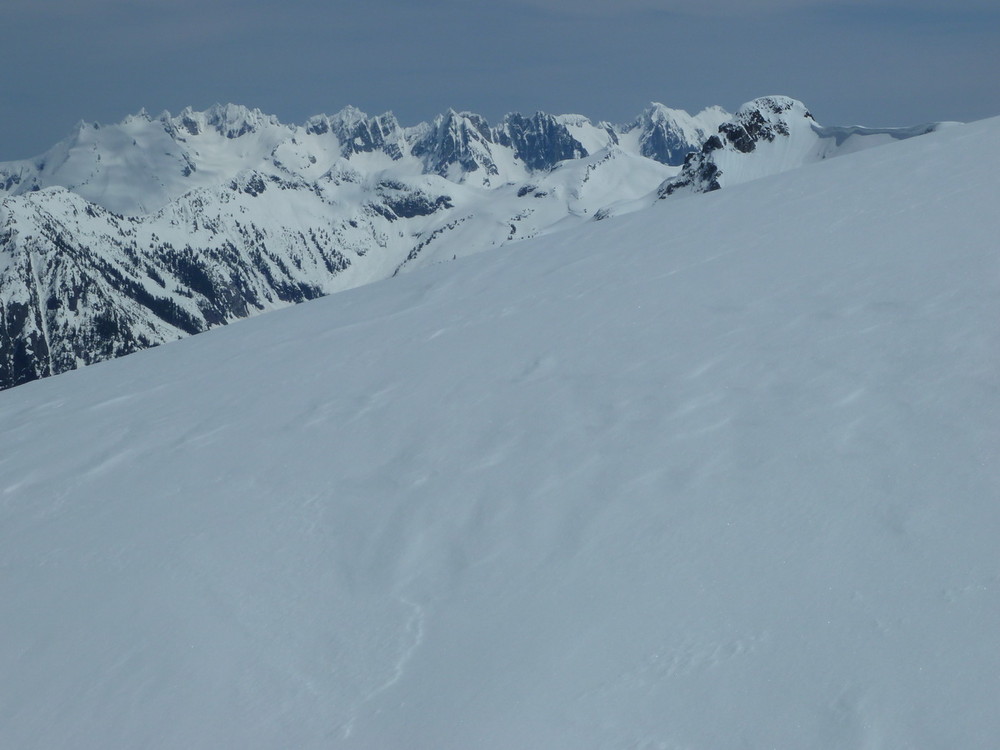
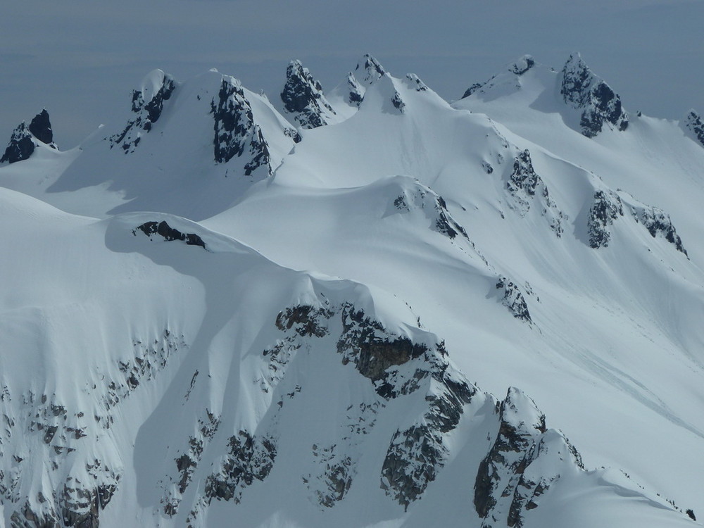
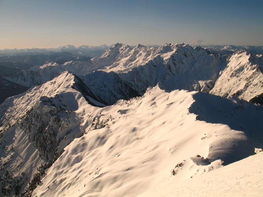
The Pickets.
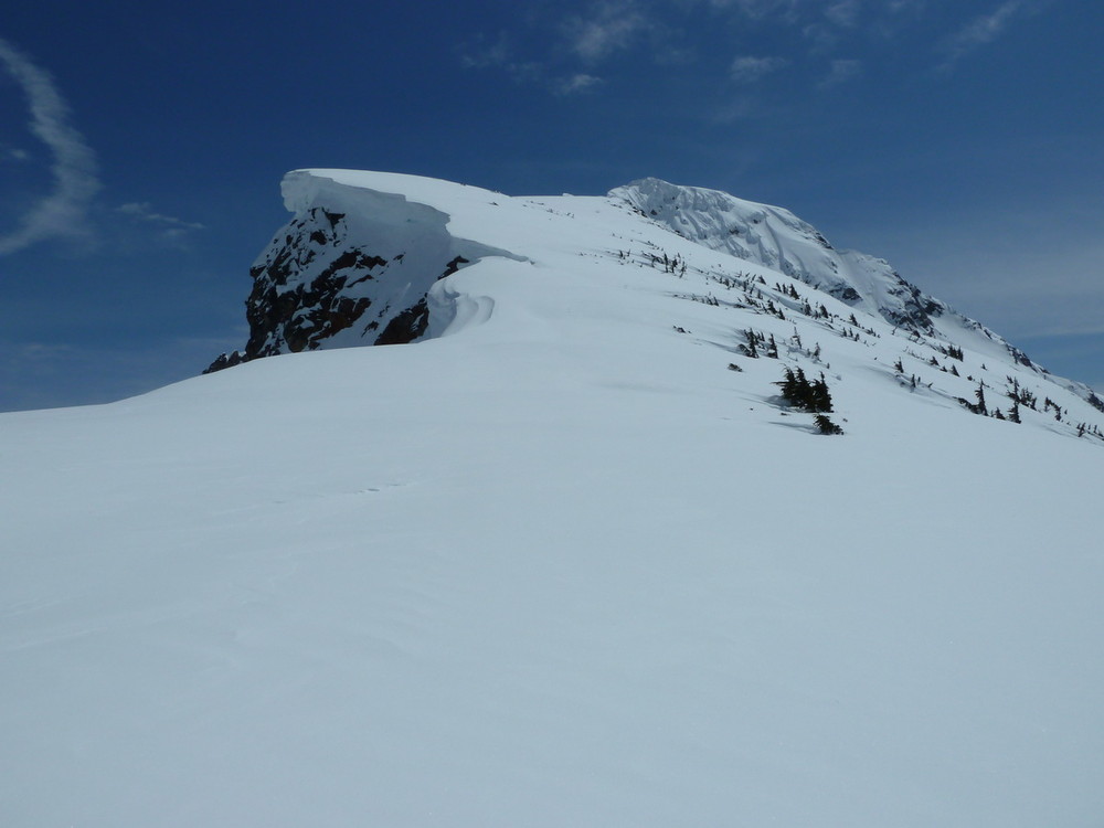
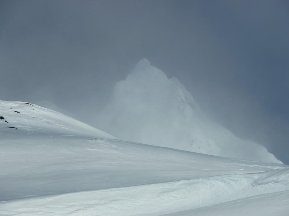
Huge cornice on the ridge.
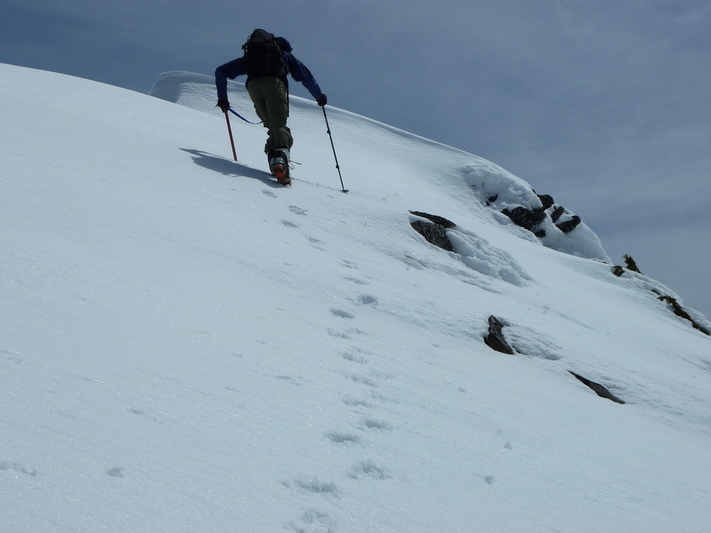
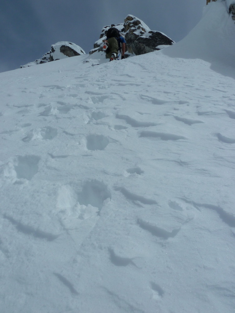
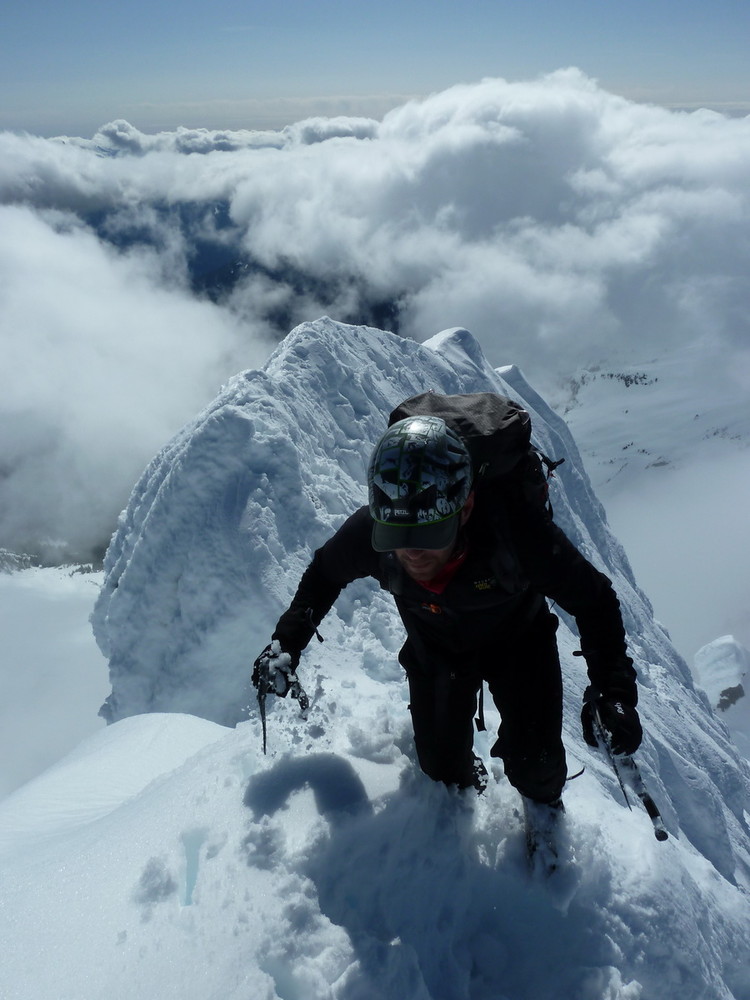
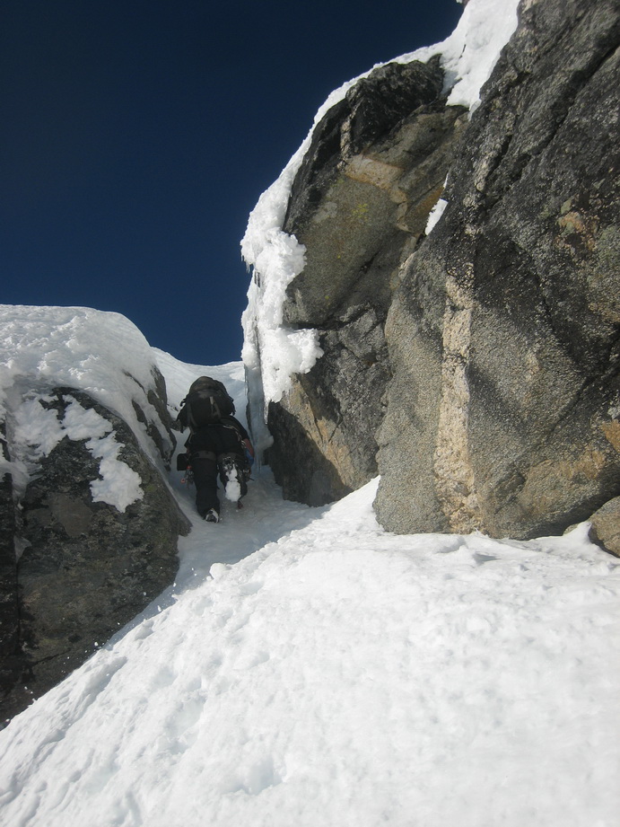
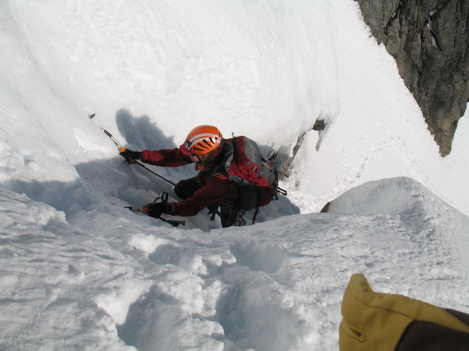
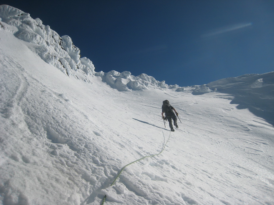
Mike booting it up the ridge.
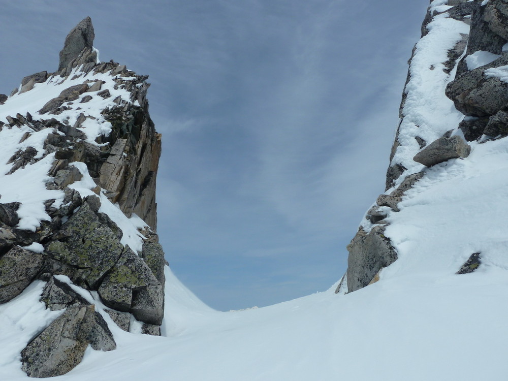
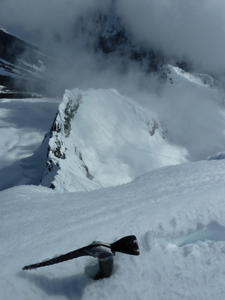
A notch in the ridge.

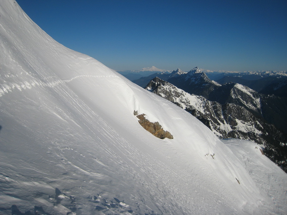
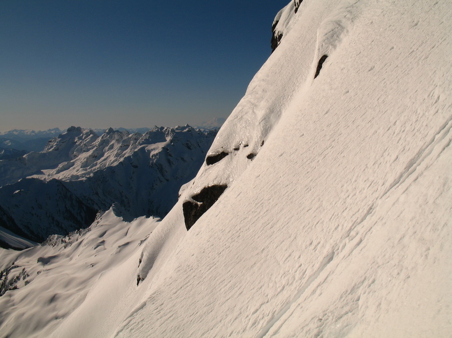
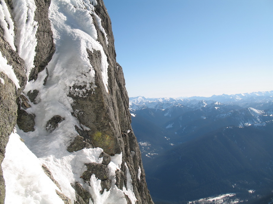
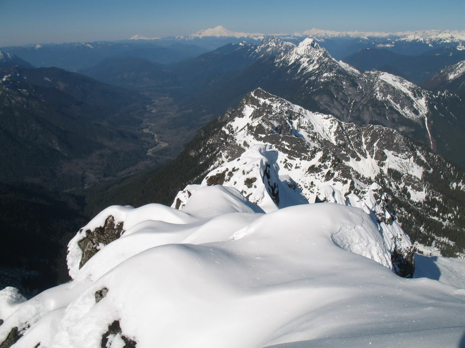
Looking down to Baker Lake from high on Mt. Blum.
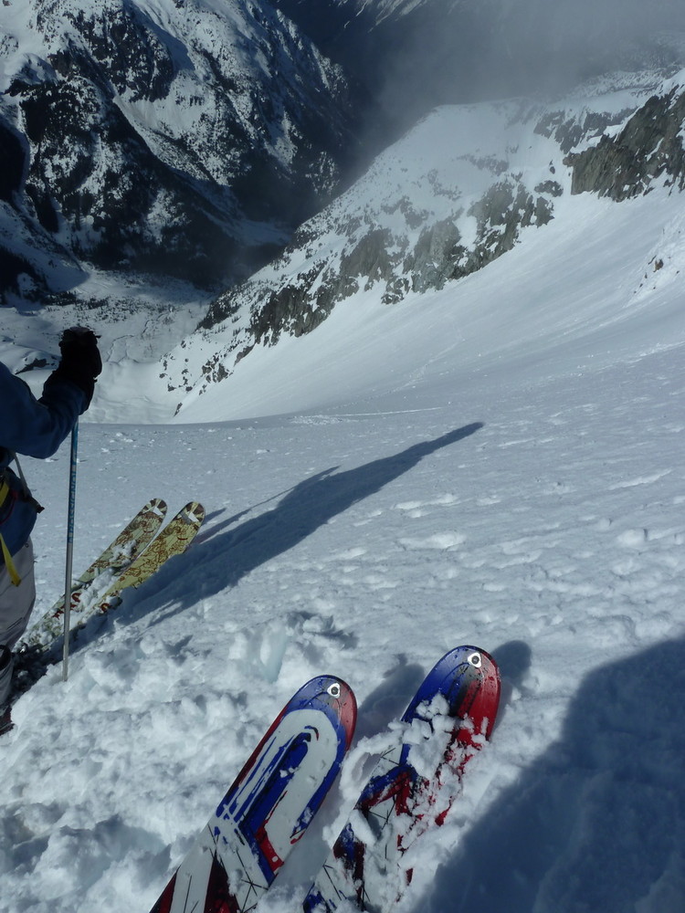
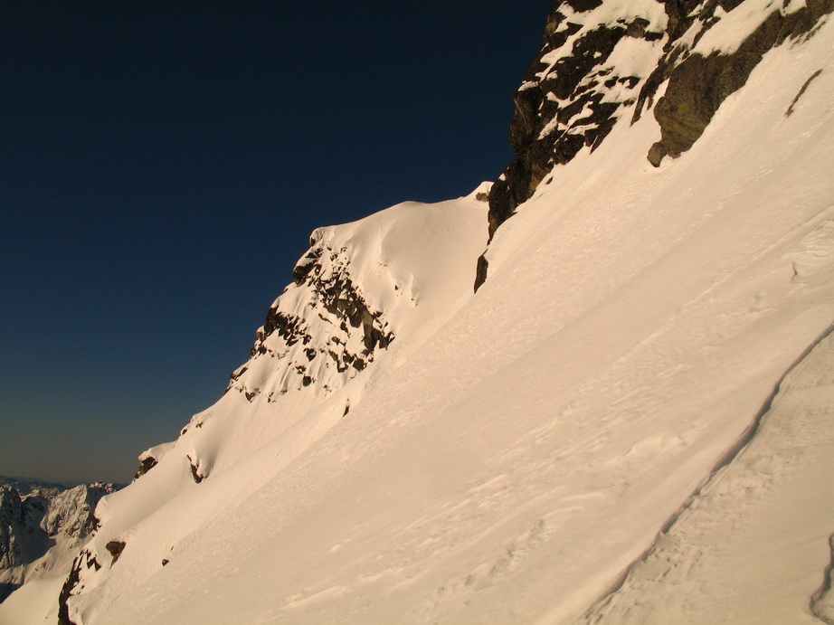
The final couloir.
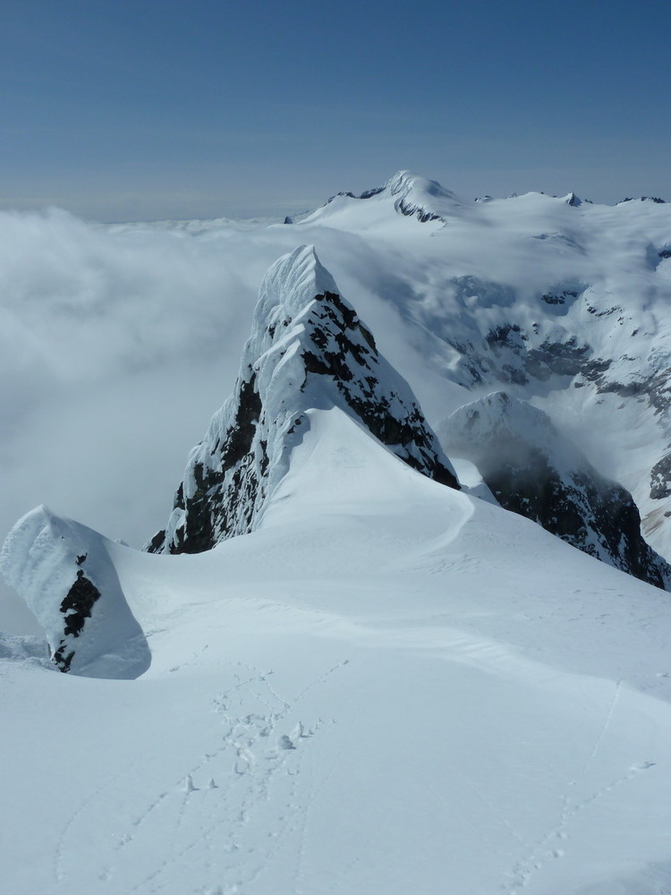
Stopped by this cornice <200' below the summit.
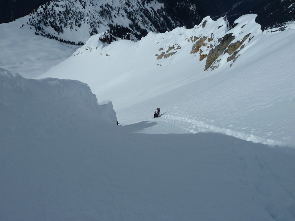
Where I began my ski descent.
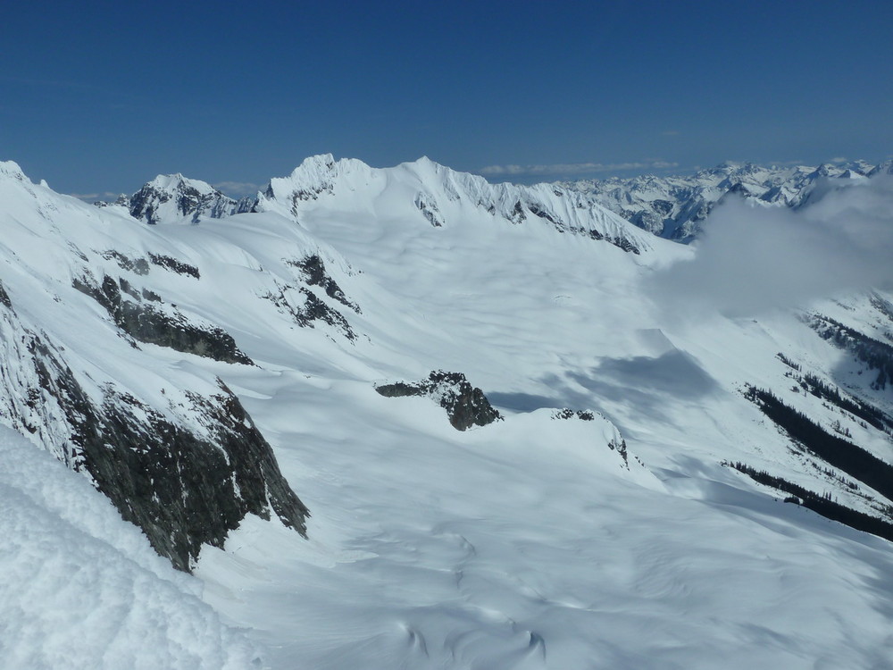
Stunning Mt. Hagan.

Baker to Shuksan.
One last look at Blum.
-
@Gene.. they are Nepal EVOs and he says he doesn't really have a problem with them, they just don't ride as well.
@Jason.. Torment Creek has a climber's path about equal to that of Eldorado.. minus the boulderfield.
-
Trip: Mt. Torment - NW Glacier (Ski)
Date: 5/10/2011
Trip Report:
Daniel, Mike, and I skied Mt Torment’s NW Glacier today.
We left town at the early hour of 3AM, knowing it would be a warm day, and we wanted to get a jump on the cool morning conditions. We were able to drive within ½ mile of the Eldorado TH before being stopped by snow.
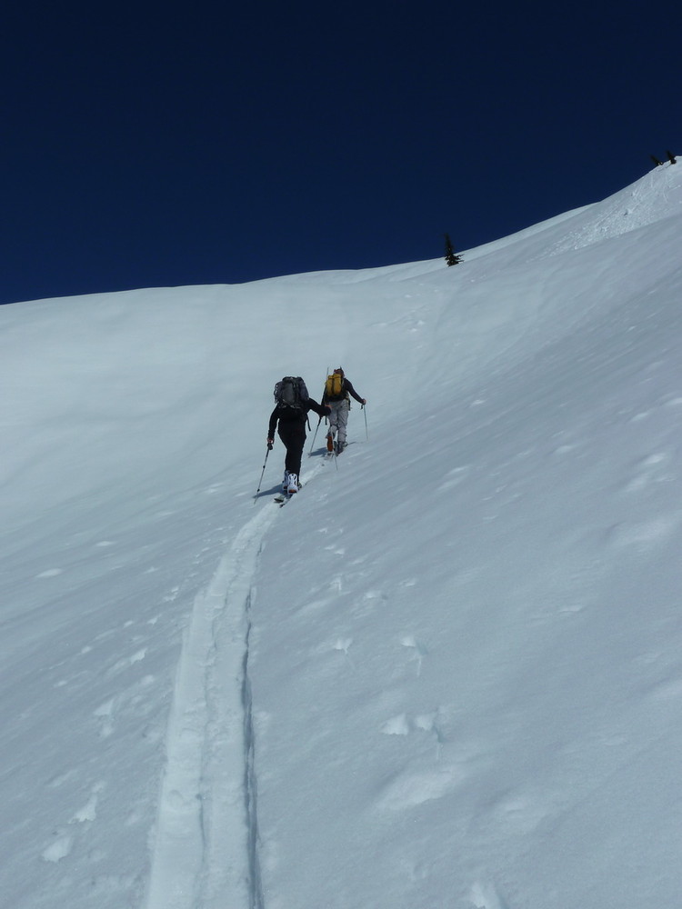
We found the steep climber’s path just across the bridge over Cascade River at 6:30AM. From here, we were able to boot it on dirt until about 4000’, when the snow began. We booted it another 500’ or so before donning skins and skis.
The approach up the basin was through mushy, isothermal snow, so we didn’t have high expectations for summitting. The higher we climbed, however, the cooler things got. From a muggy 50 degrees when we started at the CR Road, to almost freezing at the pass in Torment’s W Ridge. By the time we reached the pass, we were being supported by the crust.
The turns down towards Moraine Lake were divine, spring butter/corn with remarkably stable slopes. We heard avalanching in the distance off some of the icefalls on the Inspiration Glacier. There was some debris coming off cliffs in the distance, but we stayed far enough away that we wouldn’t be bothered.
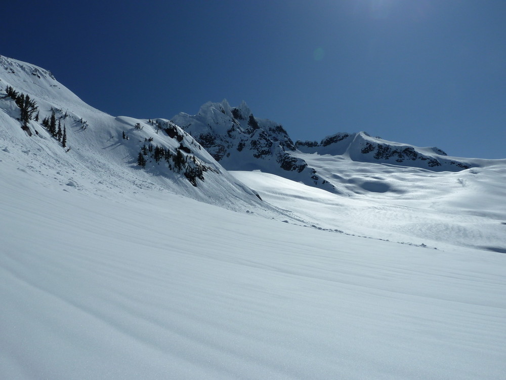
From the 6700’ pass, we dropped 1100’ to 5600’ where we gained the entrance to a slot couloir draining into Moraine Lake. We knew this had been skied before and it looked great. Nonetheless, we knew we had limited time to get everything done today, so we marched on towards Torment’s NW Glacier.
Skinning conditions were pretty good overall. There were some small crowns on the way, so we tried to stay in the path of the snow that recently slid (yesterday).
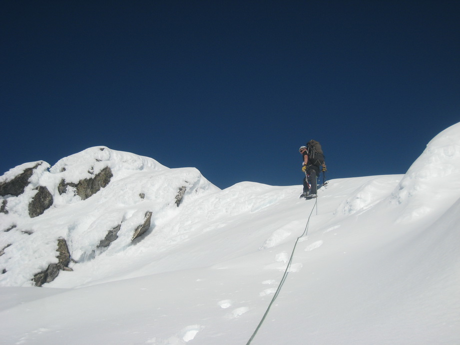
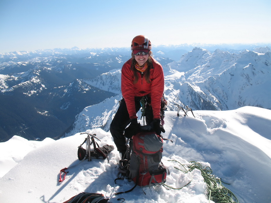
We skinned to within 50’ or so of the true summit. The summit was comprised of slushy rime snice that seemed bottomless. It took us about 30 minutes to climb those last 50’. The views from the summit were amazing.
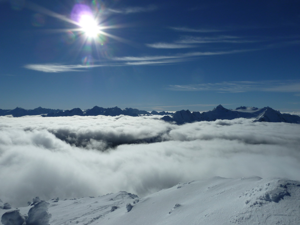
We spent about two hours around the summit area watching wisps of clouds roll over the divide, waiting for things to cool down a bit. All of the mountains of the Cascade Pass area were out.
We started back down at about 5:30, having given the slopes plenty of time to cool off. We experienced beautiful corn and wet powder all the way back down to 5600’.
Back at the car at 8:30PM for a long 14 hour day. No headlamps needed.
Trip stats:
9.5 miles
8300' gain
14 hours
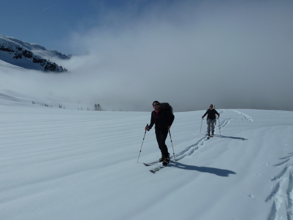
Daniel and Mike breaking out of the clouds on the approach.
Our first glimpse of a wintery Mt. Torment.
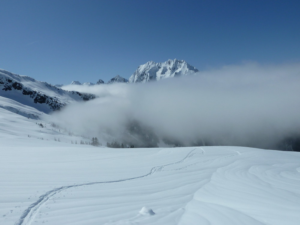
Johannesberg.
Daniel and Mike gaining the 6700' col.
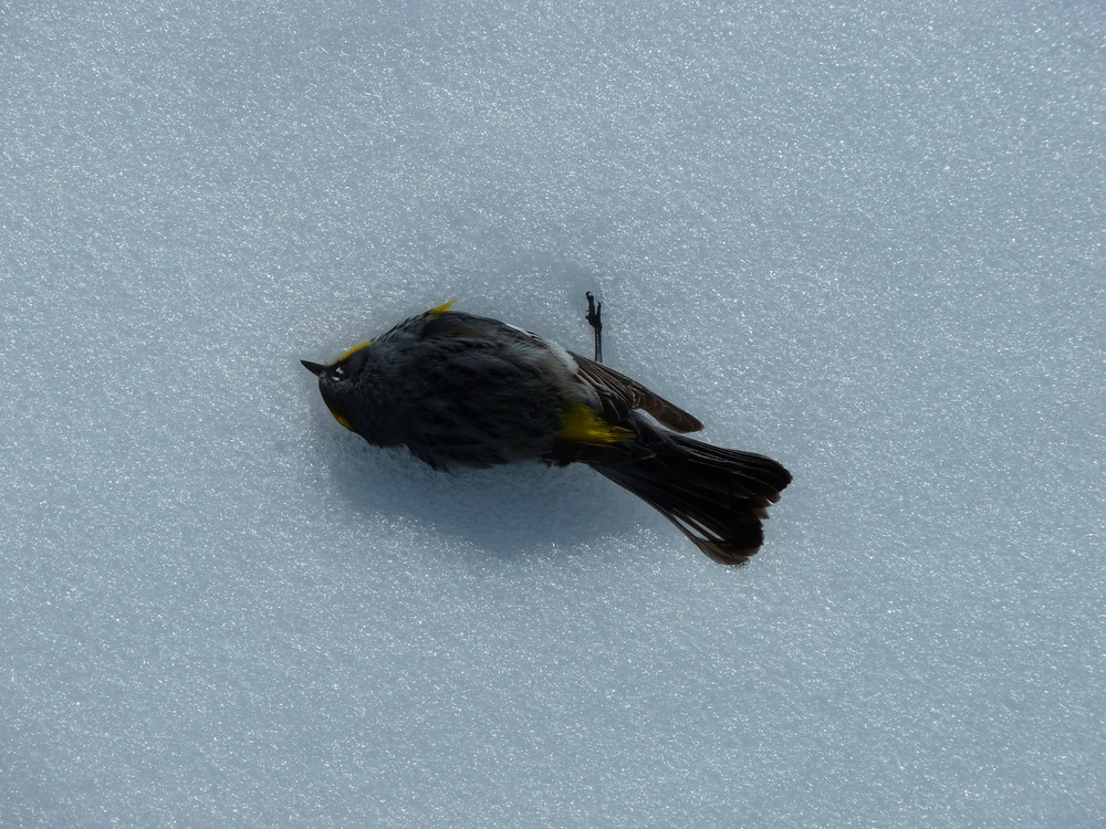
Poor little birdie didn't make it.
Daniel at the 6700' col.
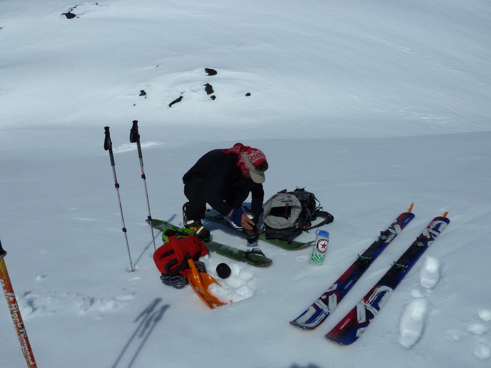
Brewing up water at the col.
Daniel and Mike checking out the descent.
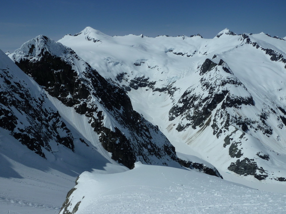
The view towards Eldorado and Klawatti.
The upper slopes below the summit.
Primus, Tricouni, Hozomeen, Jack.
Skinning up the final slopes below the summit col.
We took our skins off here.
Daniel and the summit pyramid.
Buckner, Boston, and Sahale.
The summit ridge of Torment, with Forbidden beyond.
Looking down the SE Face of Torment from the summit.
Amazing views!
Daniel making the last few steps to the summit.
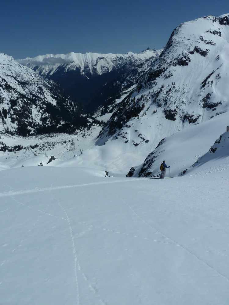
Mike about to drop in.
Mike and I about to make some amazing turns.
Looking up the NW Glacier on Torment.
Booting back up to the 5700' col.
Climbing the last few vertical feet of the day.
Daniel and Mike in awe of Johannesberg.
Snowking from the col.
Torment's summit shrouded in clouds.
Mike and Johannesberg.
Booting the road at the end of a long, but satisfying day in the hills.
-
Nice work. Thanks for the conditions report.
-
!!!!
-
I'll take the Arc'Teryx Bibs. Let me know how to get payment to you.
-
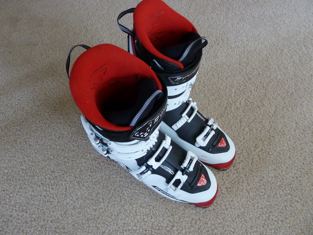
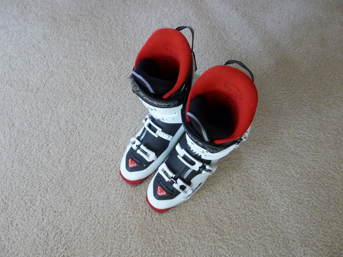
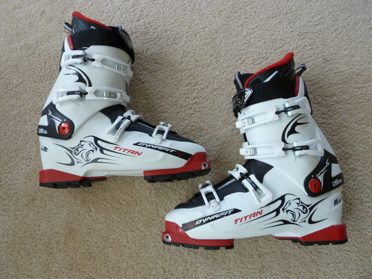
Very lightly used pair of Dynafit Titans for sale, size Mondo 30. These boots have 8 days of very light use on them. The soles have never touched rock, only snow. These boots are just too big for me.
$375
Contact me via PM here or tsjolseth@hotmail.com
-

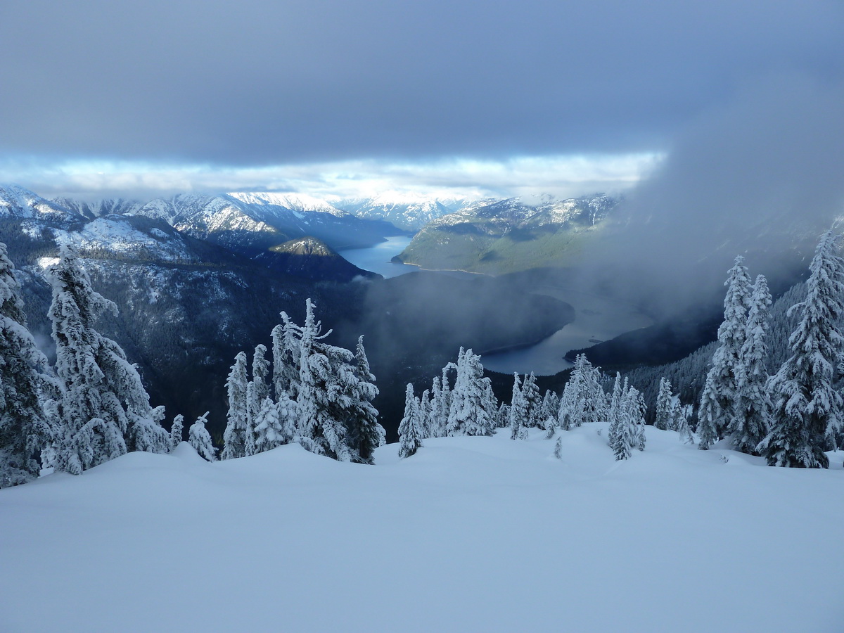
Oh, I don't know... it doesn't look too bad..
Photos taken 1/19/11
Nice report.
-
Pack has sold.
DMM Cam still available.. a couple of people have showed interest, but nothing firm yet.
-
OK, so I just checked and it is in fact one of the recalled cams. So for $40, you send it to DMM and you have a brand new cam. If nobody wants it, I'll send it in myself and put it on EBay.
Photos:
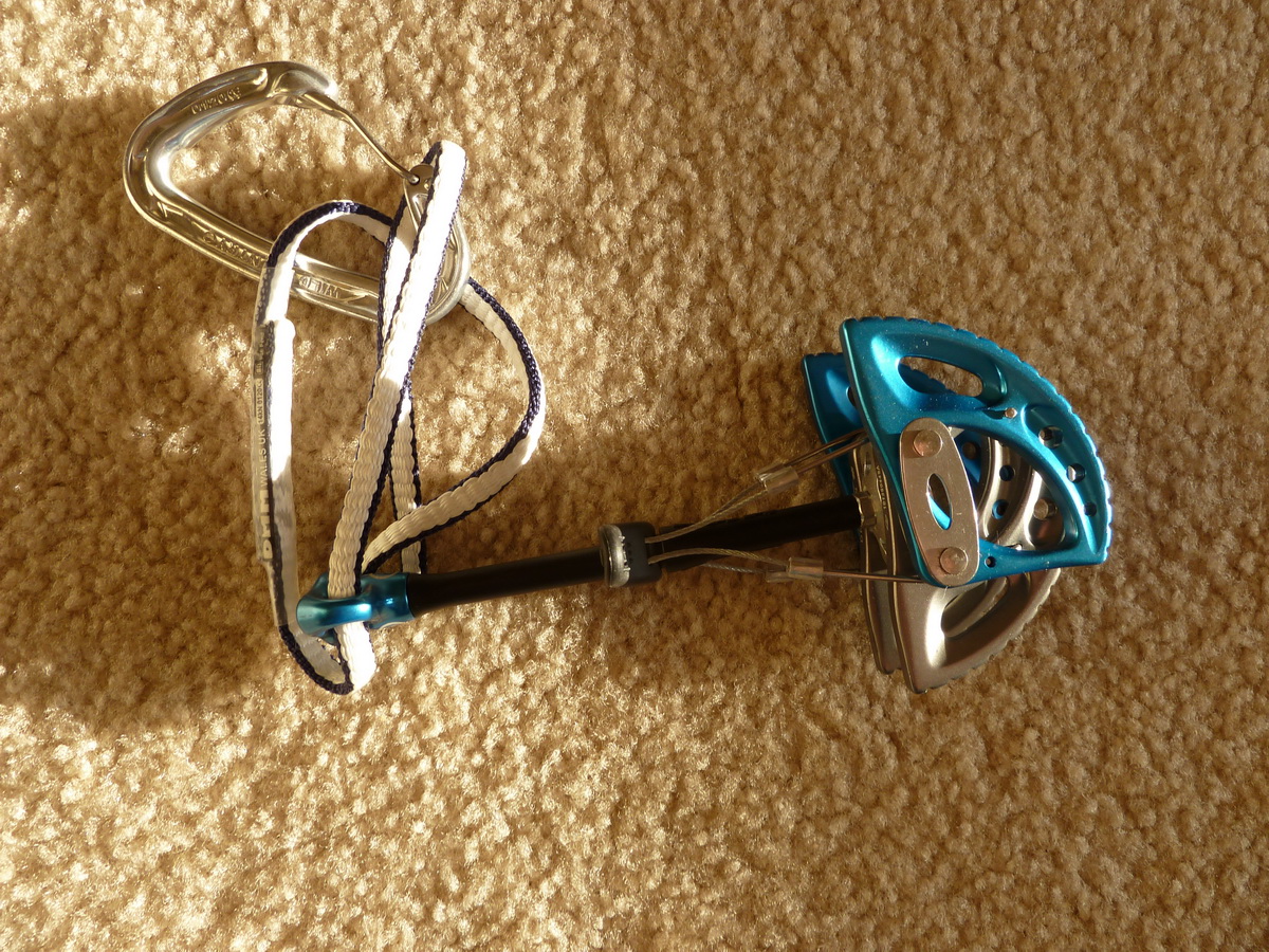

Carabiner not included.
-
I wasn't aware there was a recall. I just googled it and it indeed says #4 and #5 were recalled. I will post pics tomorrow.
If it was recalled, the buyer would be able to send it to DMM and get a new cam.
-
-New DMM Dragon Cam #5 (blue - equivalent to a #3 Camalot) - $40 - carried and placed one time - the sling is still white as new.
-Wild Things Ice Sac (red, size M) - SOLD
Plus actual shipping or I can meet in Seattle/Everett area. Cash, check or money orders only.
-
$20 for one?
-
A great way to cap a great ice season. Nice work!
-
Wayne was just granted "full equivalency"..
Ya think??!
-
Thanks for the great photos of a relatively obscure route. This is now on the list for this season..
-
Montbell 80L Expedition Pack (Size L) - $60
Used about 20 days. The pocket underneath the lid had the zipper come off, but otherwise good condition. If you need a comfortable pack for a multi-day outing and don't want to spend a lot of money, this is a great deal.
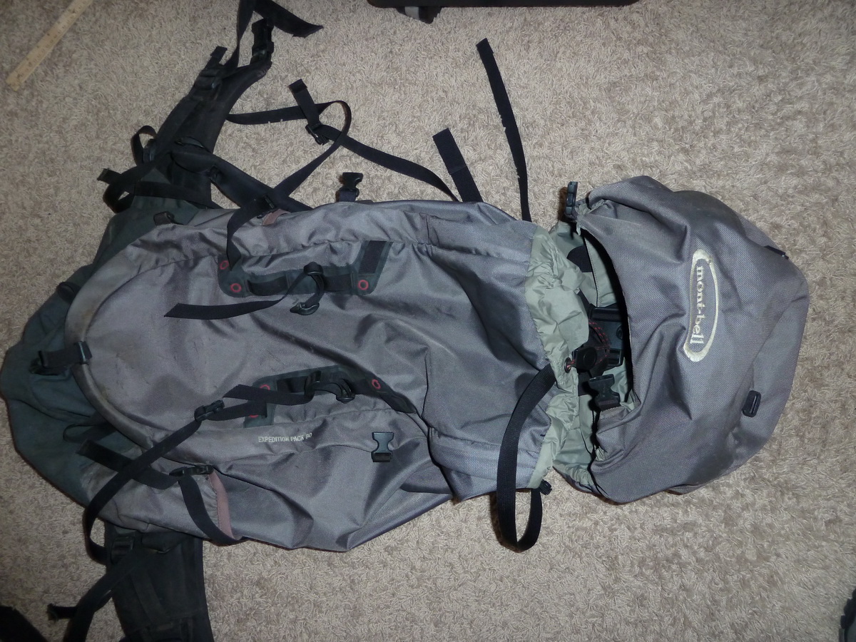
Buyer pays actual shipping, or will meet in the Seattle area.
-
I've actually noticed the opposite, depending on the ice. One of my climbing partners has a pair of Vipers with the standard pick, and his Vipers swing far better than my new Quarks (without pick weights) in brittle ice. He filed his picks fairly narrow, more narrow than the new picks, with a longer angle, so I imagine that accounts for some of the difference right there.
When the ice is softer, I find that my Quarks swing just as good, and are lighter to boot.
I also have swung the Nomics with pick weights and they swing noticeably better than my Quarks without pick weights, so the next time I go out on brittle ice, I'm going to put on a pair of pick weights and see if that makes a difference.
I have also noticed that if I alter my swing slightly (hard to describe just how), it changes how the Quarks place in brittle ice (they don't tend to dinner plate as much if I give the tool a bit more of a wrist flick towards the end of the swing).
I'm by no means an expert, so take my input with a grain of salt.
-
On our approach up Bedal Ck, the W Face was largely hidden by a subsidiary ridge and Pt 5716. We didn't go all the way up into the basin, we cut cross-country fairly soon after leaving the TH.
I would definitely post a photo if I thought I had something useful for you.
-
Mick, I'm sure it could be skied, but not by me. I think with one rap the rest of it would ski nicely.
Powerdhound, sorry, no pics of the W Face. That's about the only side of the mountain we didn't see. Not that it would help you a year later.
-
Wow, Nice work V & D.

I have relatives over there, I think it's time I go visit them!
-
Trip: Sloan Peak - Corkscrew Route in Winter
Date: 2/21/2010
Trip Report:
cmurph and I hooked up for a great climb up Sloan Peak last winter.
We left Seattle at 5:30AM, Saturday morning under clear skies. The forecast called for nice weather through the weekend, despite predicting 15-20mph E winds at 6,000'.
After a little bit of trouble finding the TH, we eventually were able to drive road 4096 to 2800' before being stopped by a fallen tree blocking the road. It was only 1/4 mile to the TH from here, so we were delighted to get so far in the middle of February!
The trail is snow free until about 3100', where intermittent patches of ice and snow appear. The trail follows Bedal Creek and, before crossing the creek, we headed uphill due E at ~3600'. From here, the way is cross-country. We followed a basin to a ridge and followed it to the saddle below Pt 5330, between Bedal and Sloan Peaks. Along the traverse to the saddle, the snow was quite deep (knee-deep in places), and sloppy in the mid-day sun. It took us a lot of effort to gain the saddle, where we stopped and ate lunch overlooking Glacier Peak and its neighbors.
From our lunch spot, we trudged on in knee-deep powder to ~6100' where we decided to set up camp. The views from camp were spectacular. We were able to see Big 4, Vesper/Sperry, Pugh, Whitechuck, Glacier, and many more.
Since we arrived so early (2PM), we spent some leisure time around camp, melting snow, eating, taking photos, and enjoying the views. The sun went into hiding at around 4PM, at which time we retreated to the tent and layed low. After eating some more, we retired for the night and welcomed the 12 hours of sleep we were about to endure.
We awoke the next morning at 5:30AM and slowly began to stir. After about 2 hours of remarking about how cold it was and eating and rehydrating, we decided to start moving up towards the start of the route. Still, the snow was deep, despite cold temps trying to firm the previous day's sun crust up. Much of the way across the glacier was in calf-deep snow. It took us quite a while to cross the glacier in these conditions, but we finally found the bottom of the ramp at ~9AM.
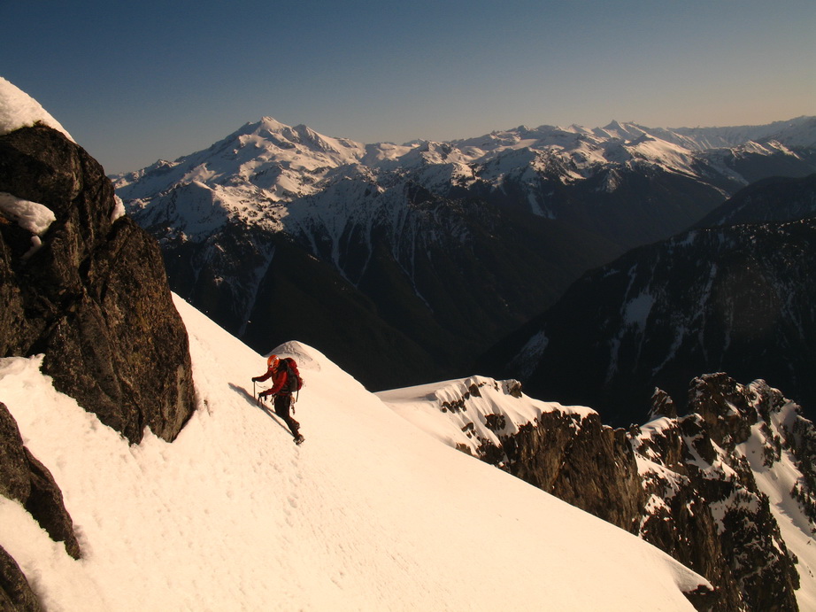
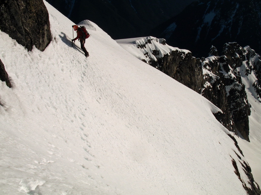
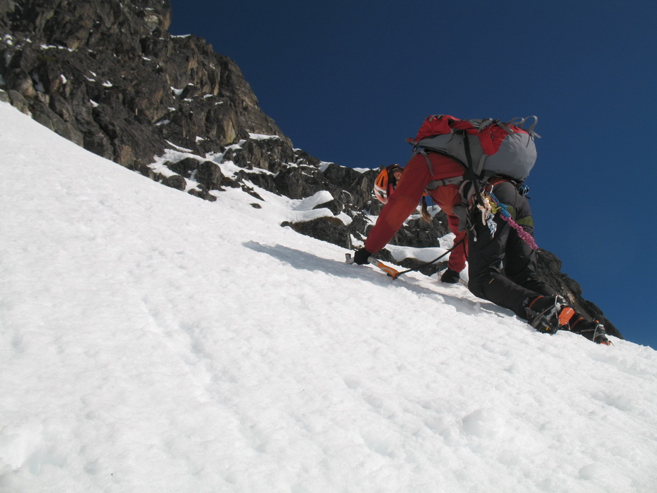
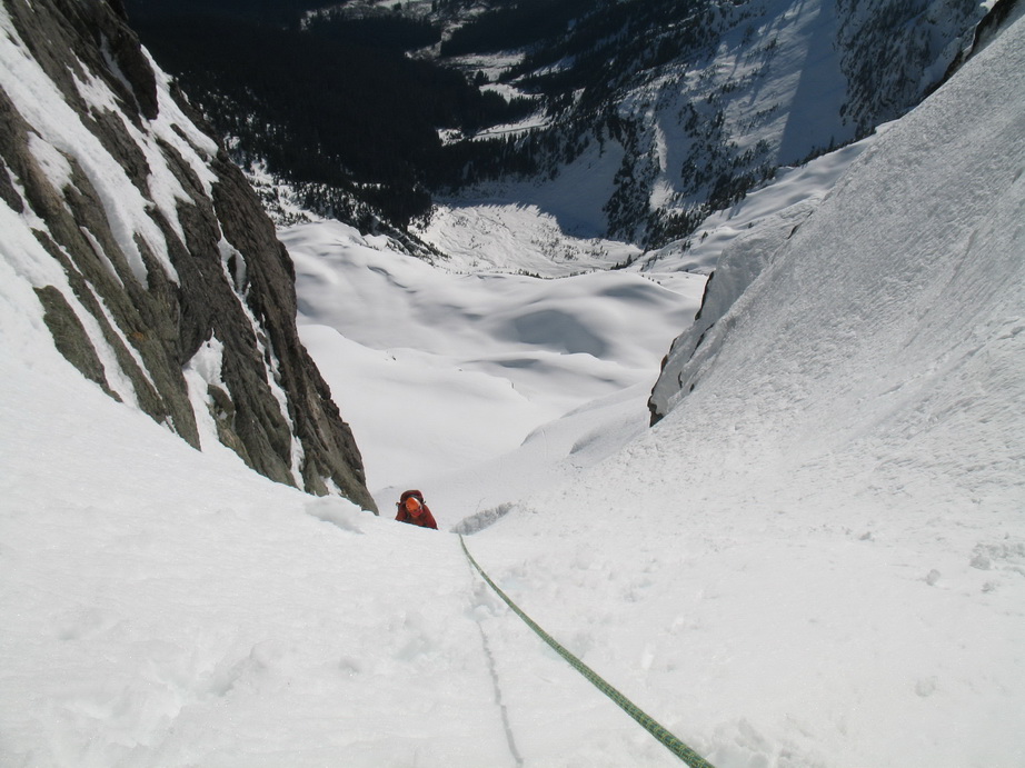
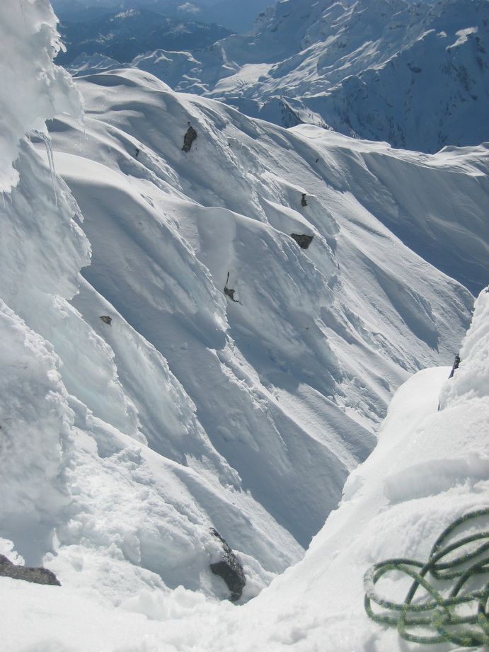
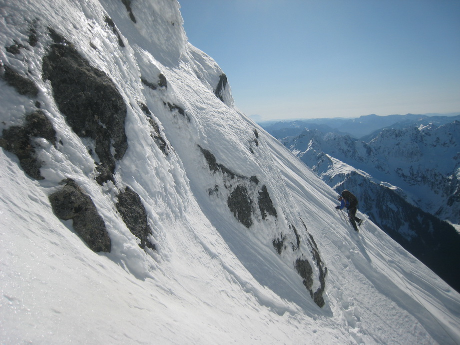
From the bottom of the ramp, the route traverses steep slopes (to 50 degrees), before ascending a steep gully to the ridge crest. The exposure was big, and looking down we could see cliffs drop away 500' or more. The snow was perfectly stable and good for self-belays, soft enough so you could plunge an axe, but firm enough so you could get good footing. We felt good about the conditions.
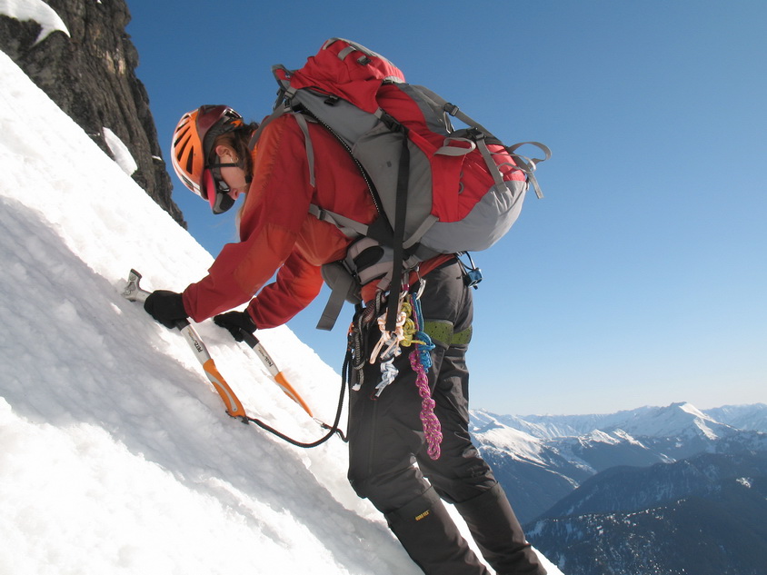
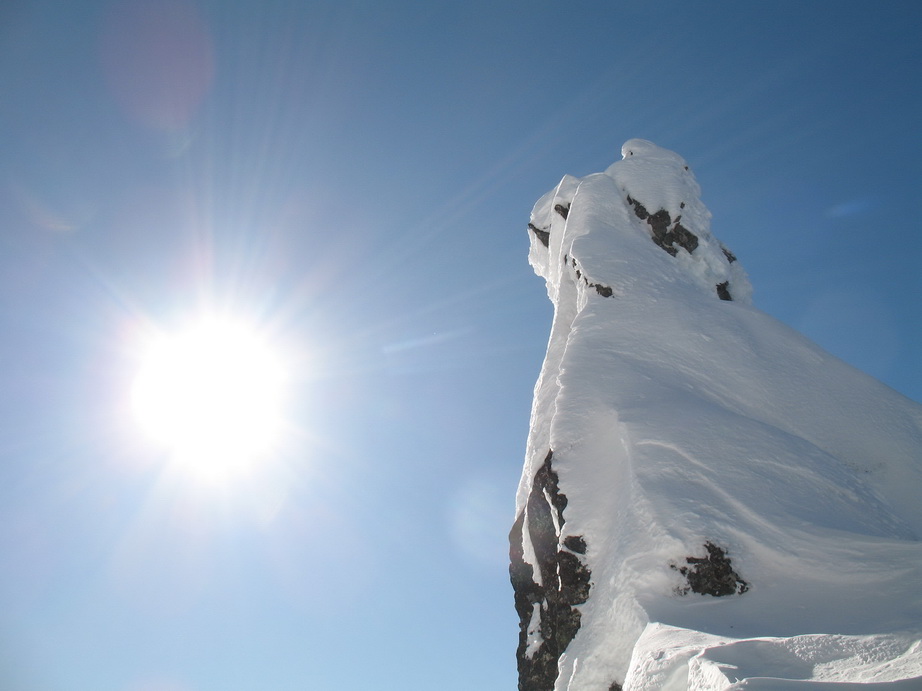
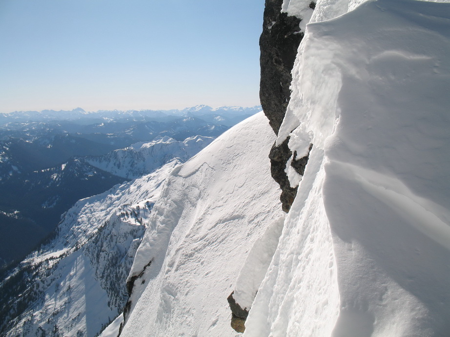
We arrived at the notch above the S Face (~7500') and saw the remainder of the way to the summit. It was more steep snow climbing. We made quick work of this and gained the summit ridge among cornices and rime ice. The final bit to the summit was exposed, but offered great views to the surrounding peaks.
We spent a good half hour on the windless summit, eating, drinking, taking more photos, admiring the spectacular views, and reflecting on a great climb. These views were some of the best I have ever seen! Truly remarkable, I hope the photos can do it justice.
Back to the car just after dark.
I just want to congratulate cmurph on being such a trooper. She has not done much technical winter climbing before, and she really did an awesome job this weekend on an ambitious and rarely-climbed winter objective.
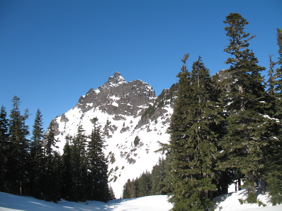
Sloan Peak on the approach, just below camp.
Bedal Peak.
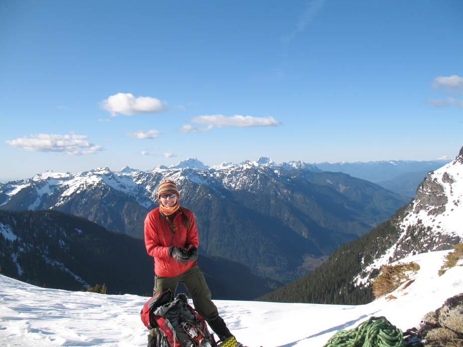
cmurph on the approach.
Sloan Peak as seen from camp at ~6100'.
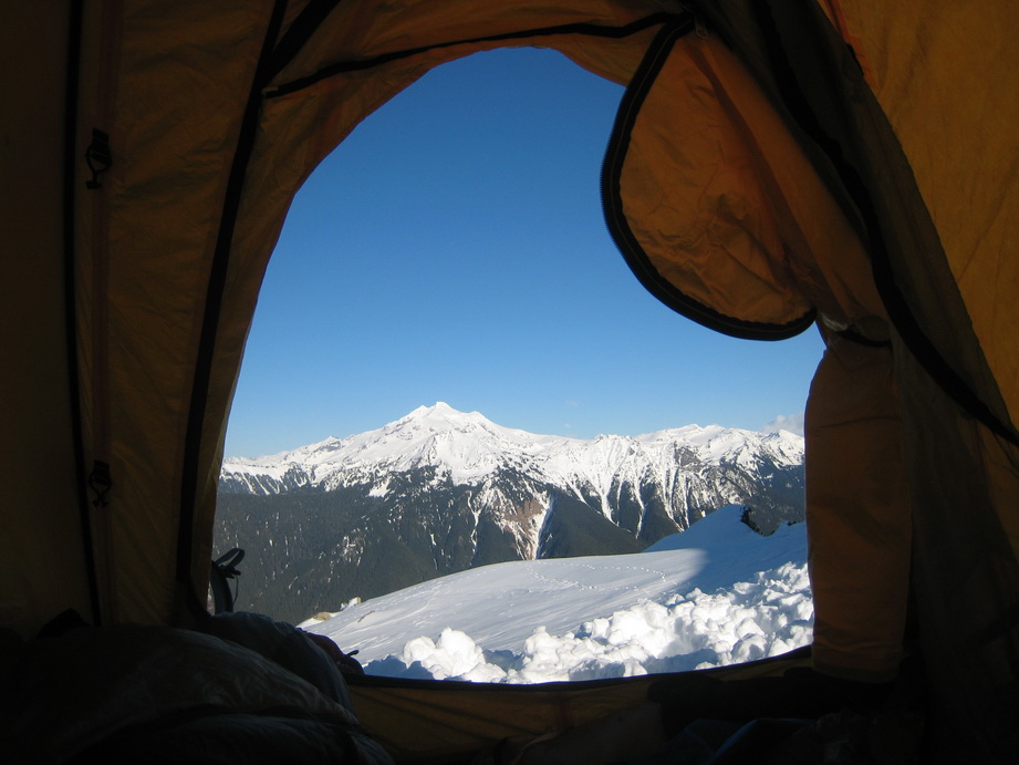
Glacier Peak as seen from inside the tent. Photo by cmurph.
At camp.
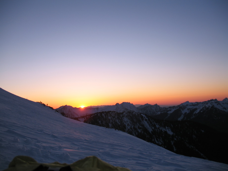
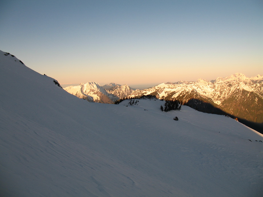
Sunset from camp.
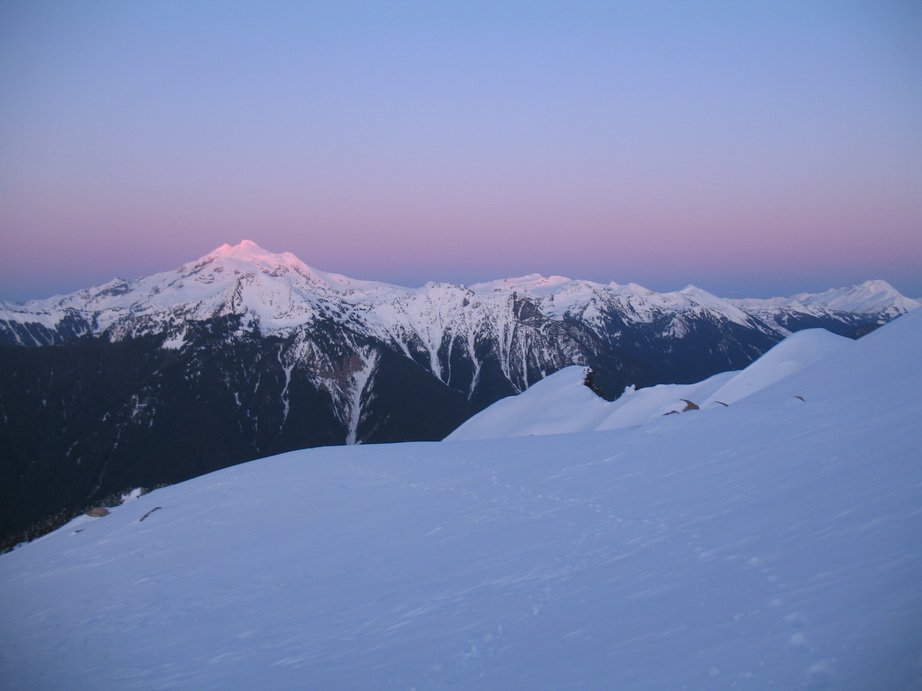
Alpenglow on Glacier Peak.
Bedal, Pugh, and Whitechuck in morning alpenglow.
Morning light.
Sloan Peak from camp this morning.
Morning traverse across the glacier.
A look up at Sloan Peak on the climb. Photo by cmurph.
Me traversing into the sunlight. Photo by cmurph.
Still traversing. Photo by cmurph.
More views!
cmurph heading up the glacier.
cmurph in front of the Monte Cristo group at the col.
The Monte Cristo group from the col.
The traverse across the ramp.
cmurph traversing.
More traversing.
And more.
cmurph traversing steep snow on the ramp.
A look ahead.
All smiles on the way up Sloan Peak.
Climbing through a constriction near the notch. Photo by cmurph.
All smiles still?
Nearing the col at the top of the gully.
Looking down from the notch. Photo by cmurph.
A gendarme on the summit ridge.
A look towards Stuart and Daniel from the col.
Steep rock.
The summit amphitheater. Photo by cmurph.
Me just below the summit. Photo by cmurph.
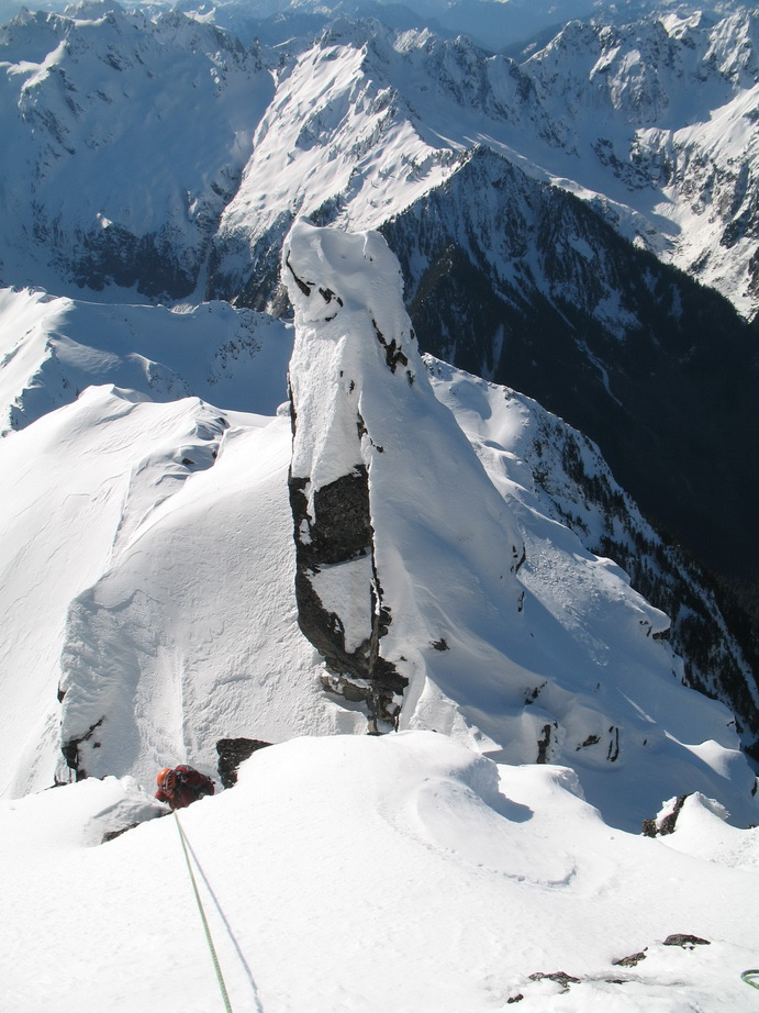
A look down at cmurph nearing the summit.
Me on the summit. Photo by cmurph.
The views to the W from the summit of Sloan Peak.
Summit shot!

More summit views.
Traversing back towards the col on the descent. Photo by cmurph.
[TR] Frisco Mountain - Lyall Glacier 5/29/2011
in North Cascades
Posted
Nice work. I was just thinking about Frisco a few days ago, about how nice it would be for touring right now.
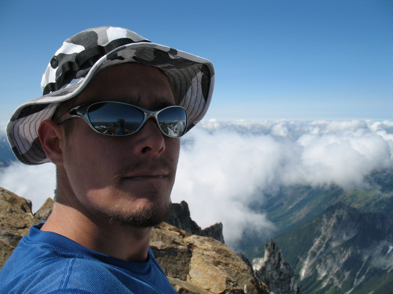
Oh, and those stunna shades are pretty boss!