
Leaderboard


Popular Content
Showing content with the highest reputation on 08/30/21 in all areas
-
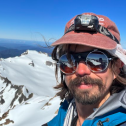
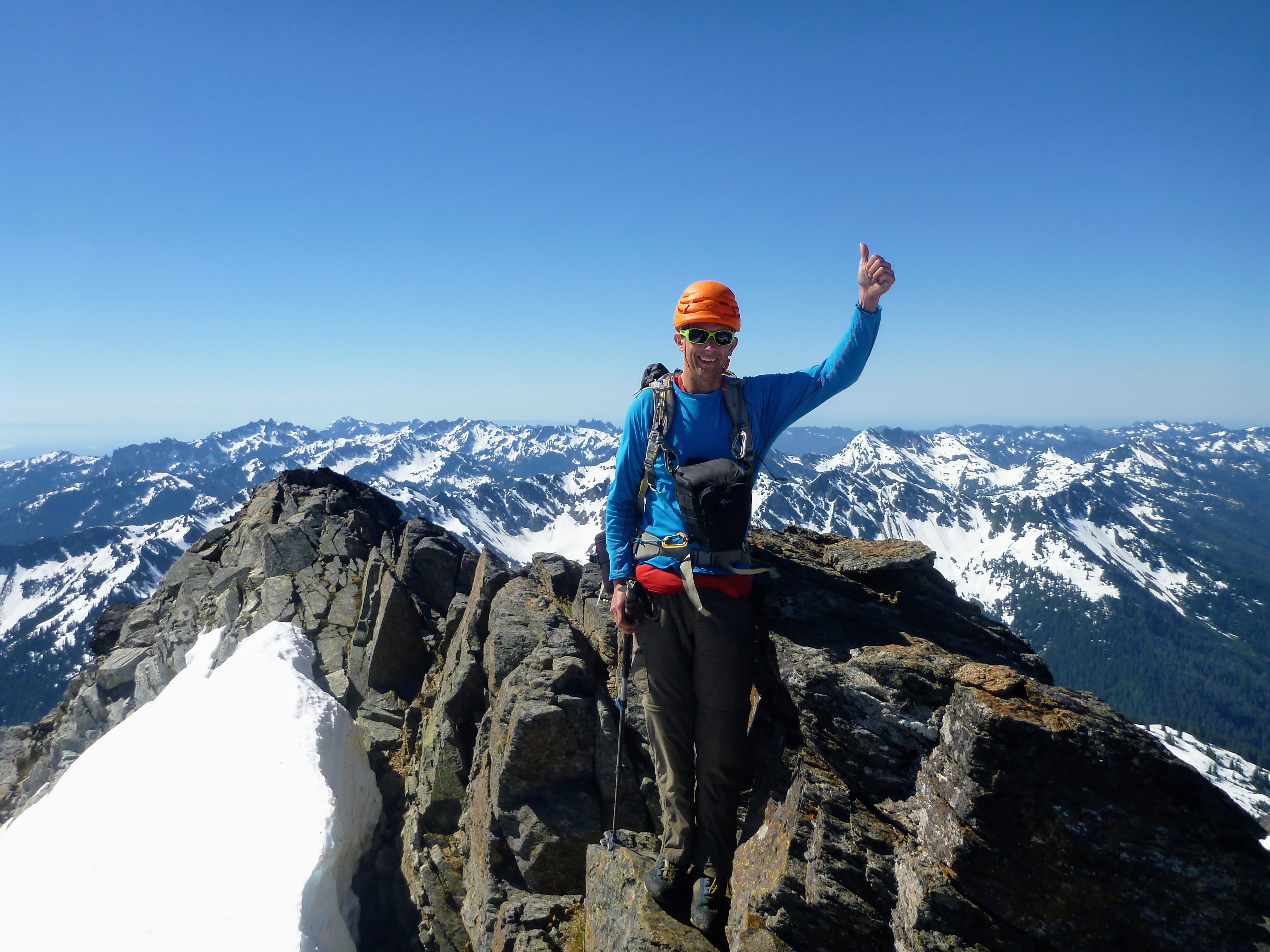
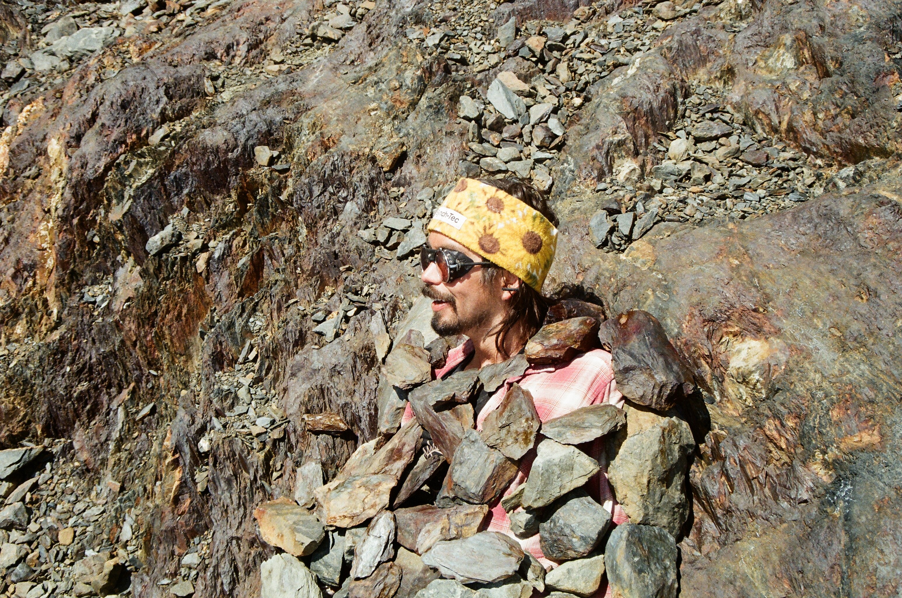
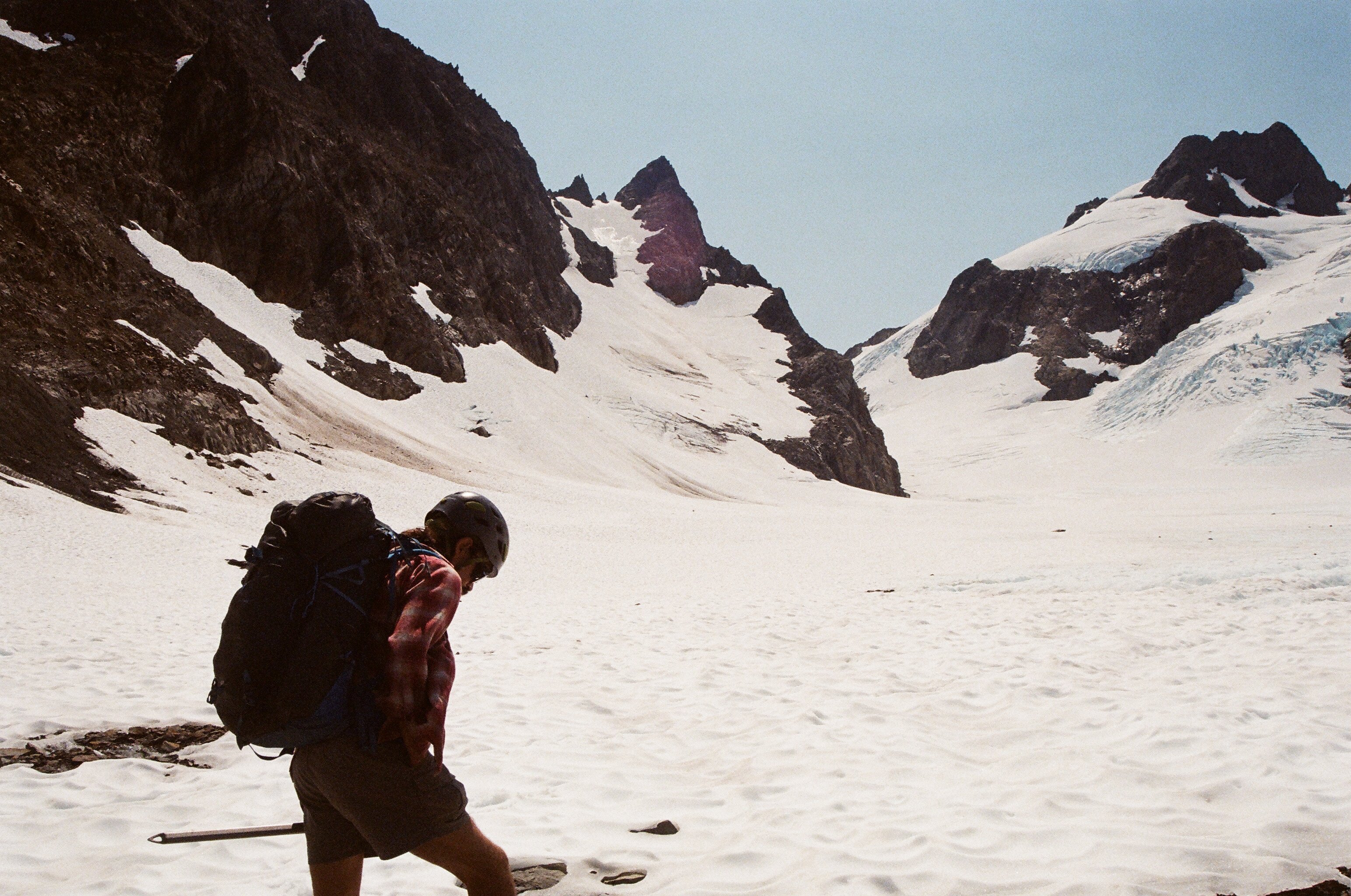
Thanks to @olyclimber for creating a safe space for a photo nerd like me..... If you're here, you probably care about your photos. Or maybe you are just here to make fun of people that carry too much weight! But, regardless, what is your photo system and why? For me, it is a full frame dSLR (nikon D750), mostly because the mirrorless options weren't quite there yet when I bought my latest camera. Why full frame?? That is a very good question....but I am just a sucker for a nice image and a 35mm sensor seems to do that and still be something you can carry up a mountain. My main lens is a Nikon 24-120mm f4 that is OK, but not great. I sometimes lug a 70-300mm tele that is f3.5-5.6ish. Nothing fancy since the finance minister (and my kids) won't let be spring for f2.8 glass or better. My one splurge is a 20mm f1.8 that I bought used for astrophotraphy. I hang a Lowepro case on my chest to carry the camera, supported by p-cord and biners off the pack straps. For more technical routes (~>5.5ish) I have a Canon S120 on my shoulder strap. Now, I would probably spring for a Canon R5 or Nikon Z7 for a dSLR and a Sony RX100 for a P&S.... Maybe in a few years..... The nerd on the summit of Mt. Anderson earlier this summer....
 1 point
 -
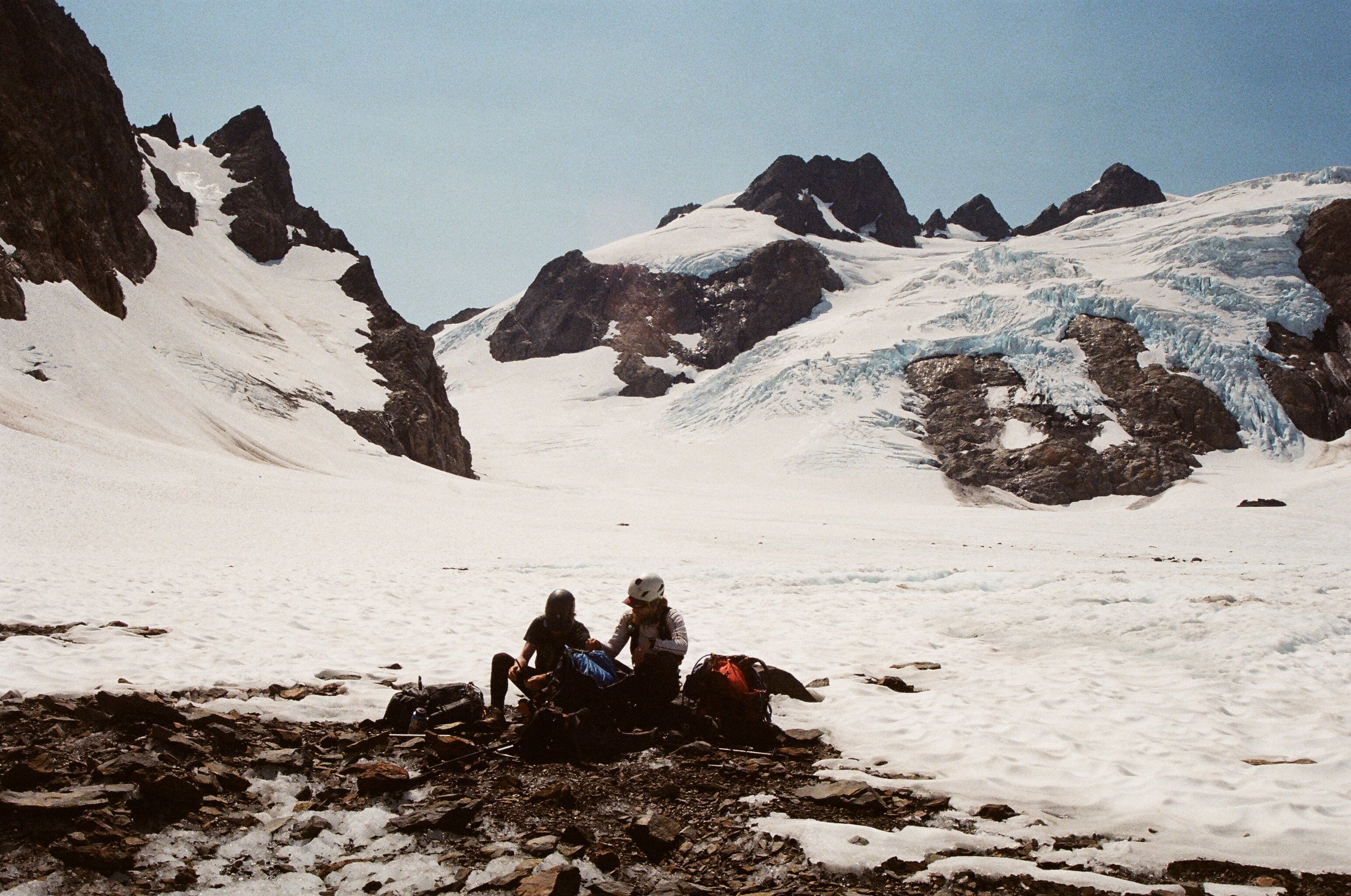
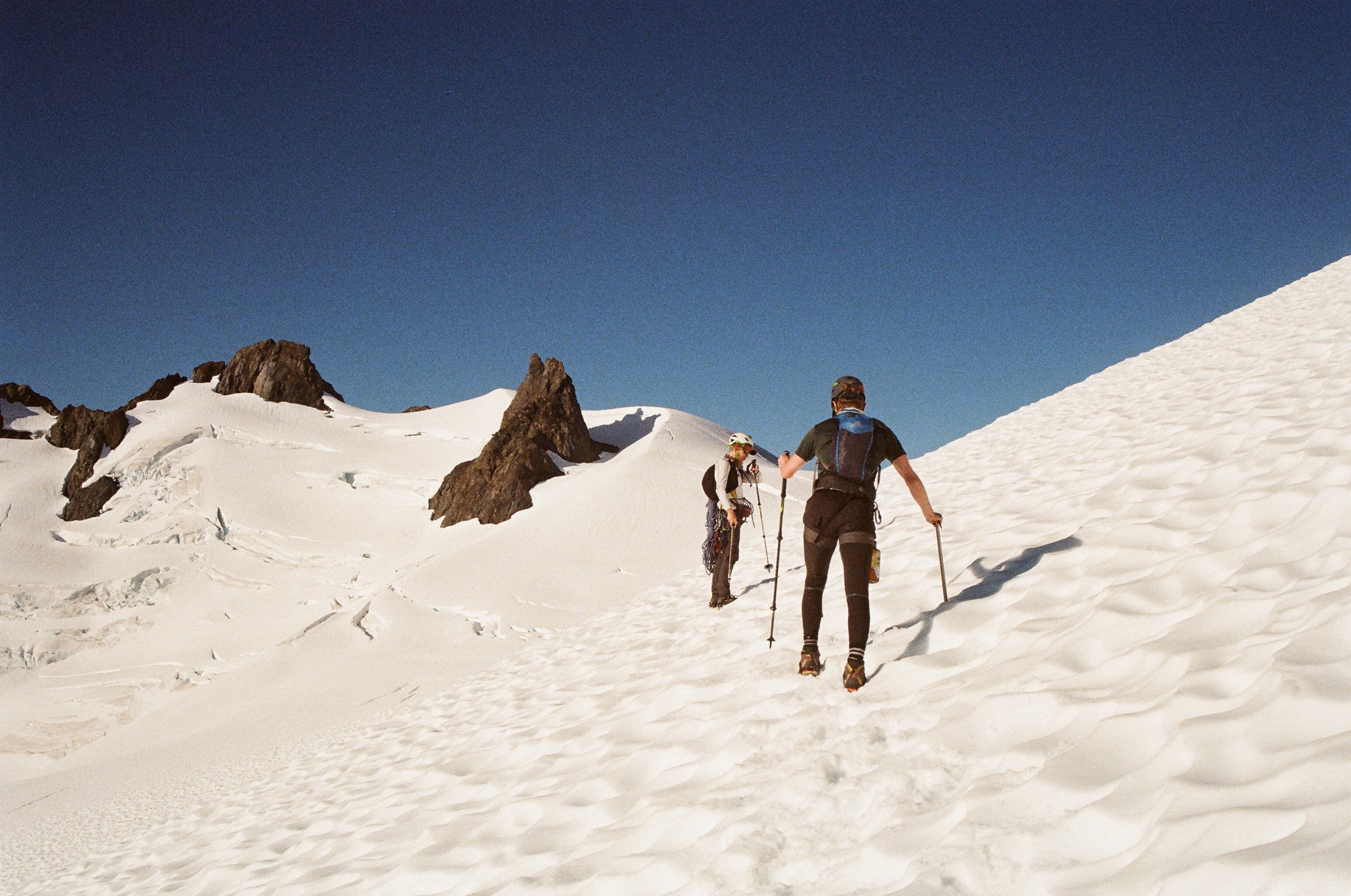
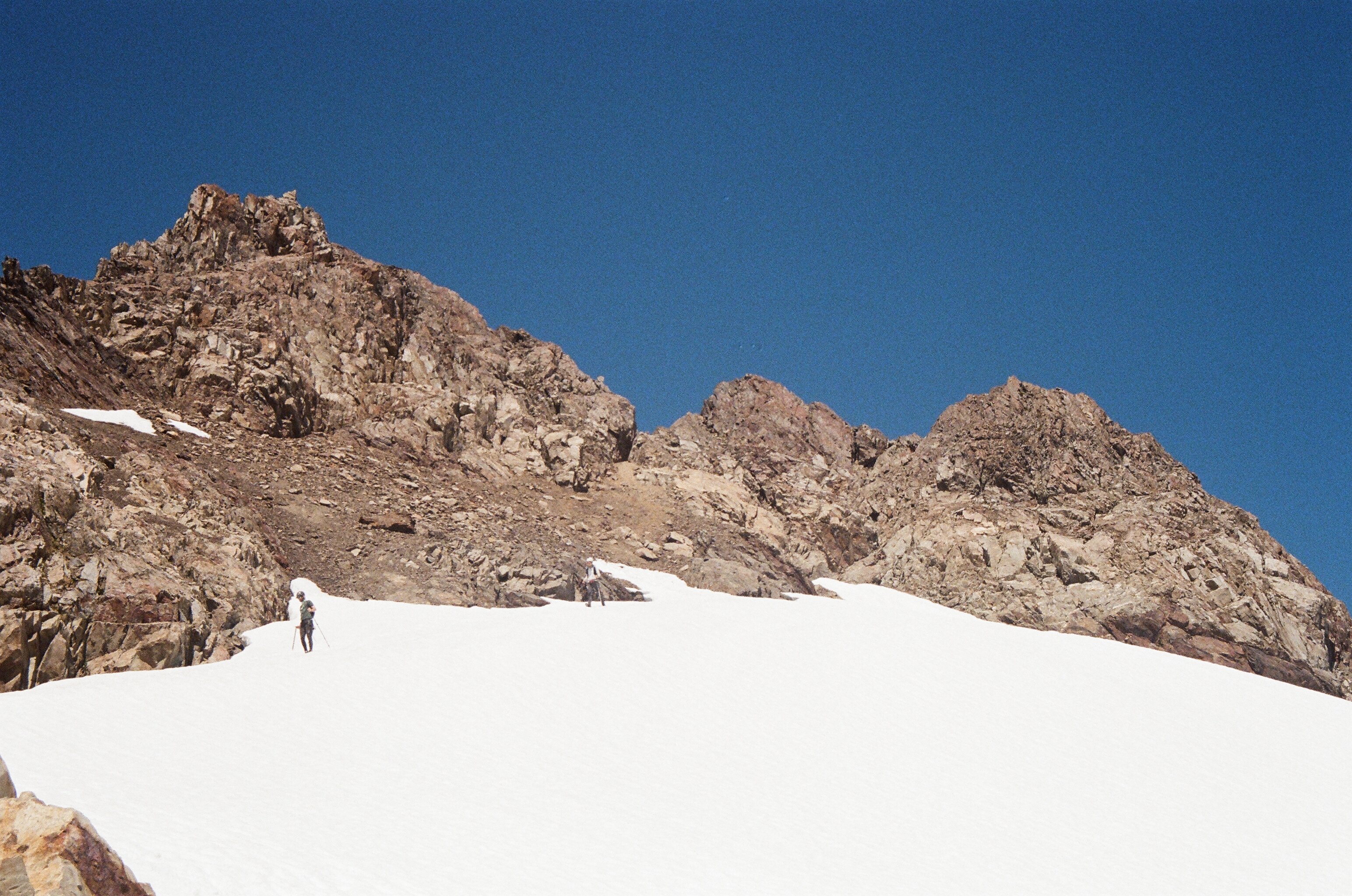
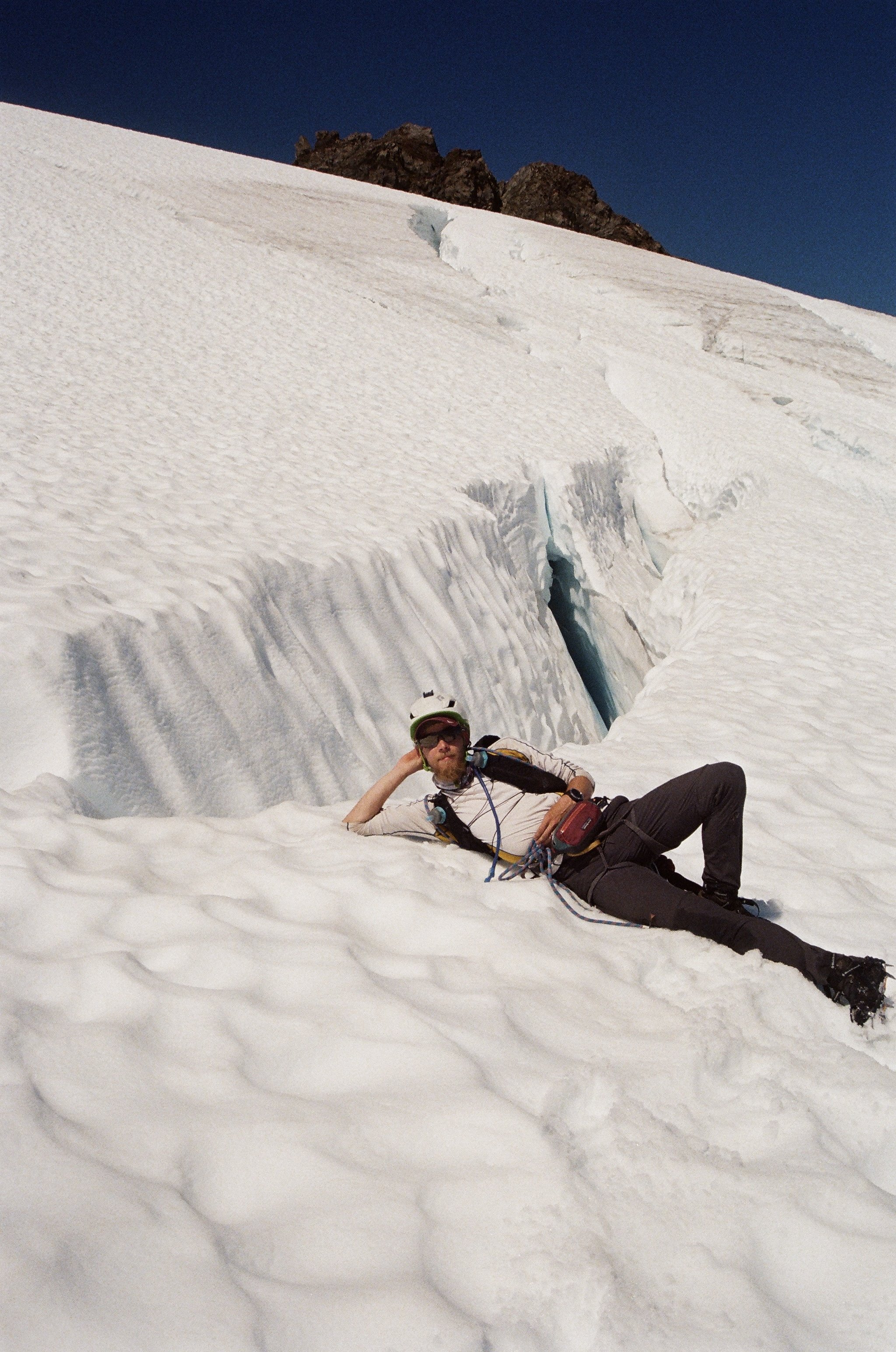
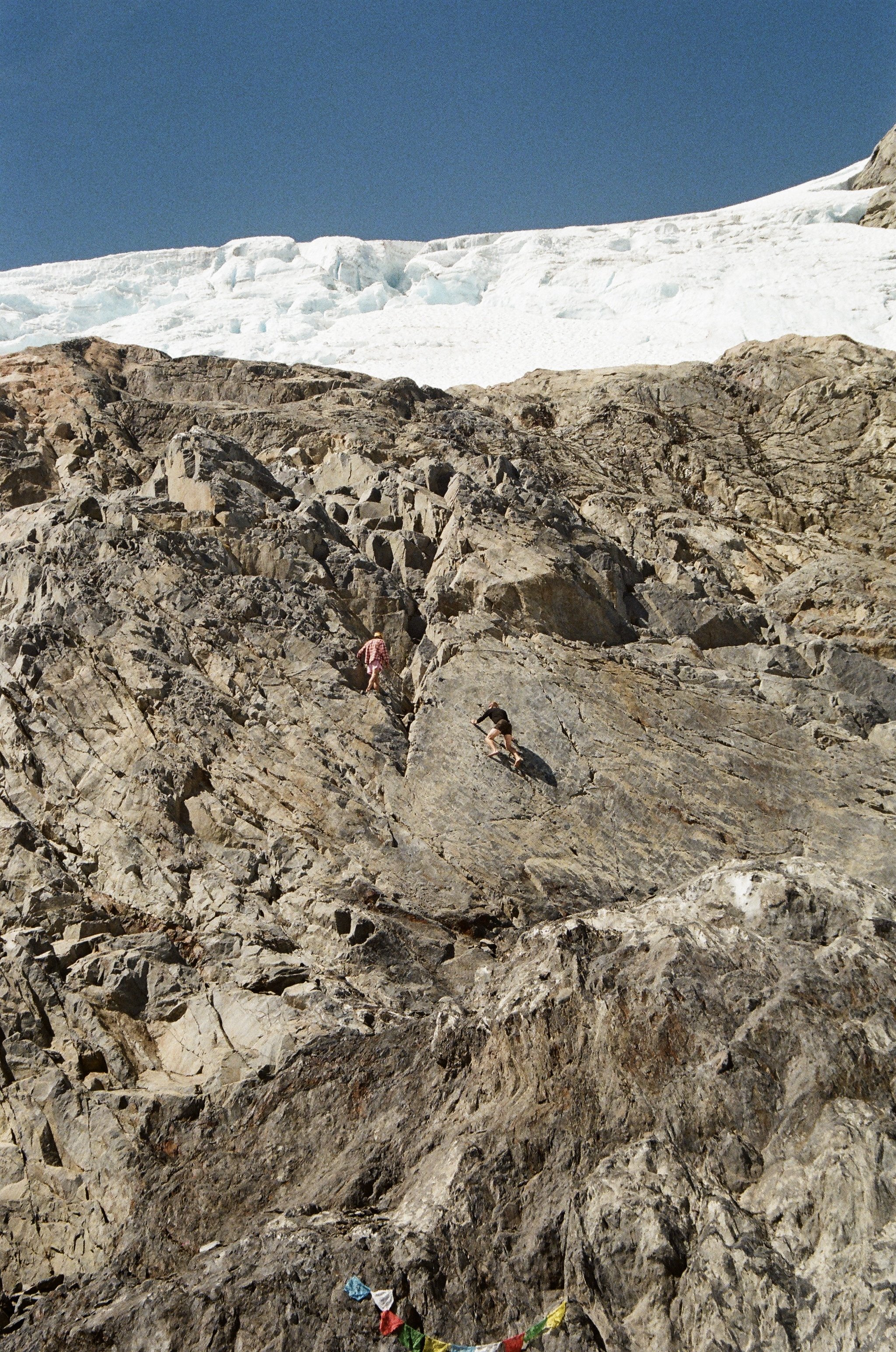
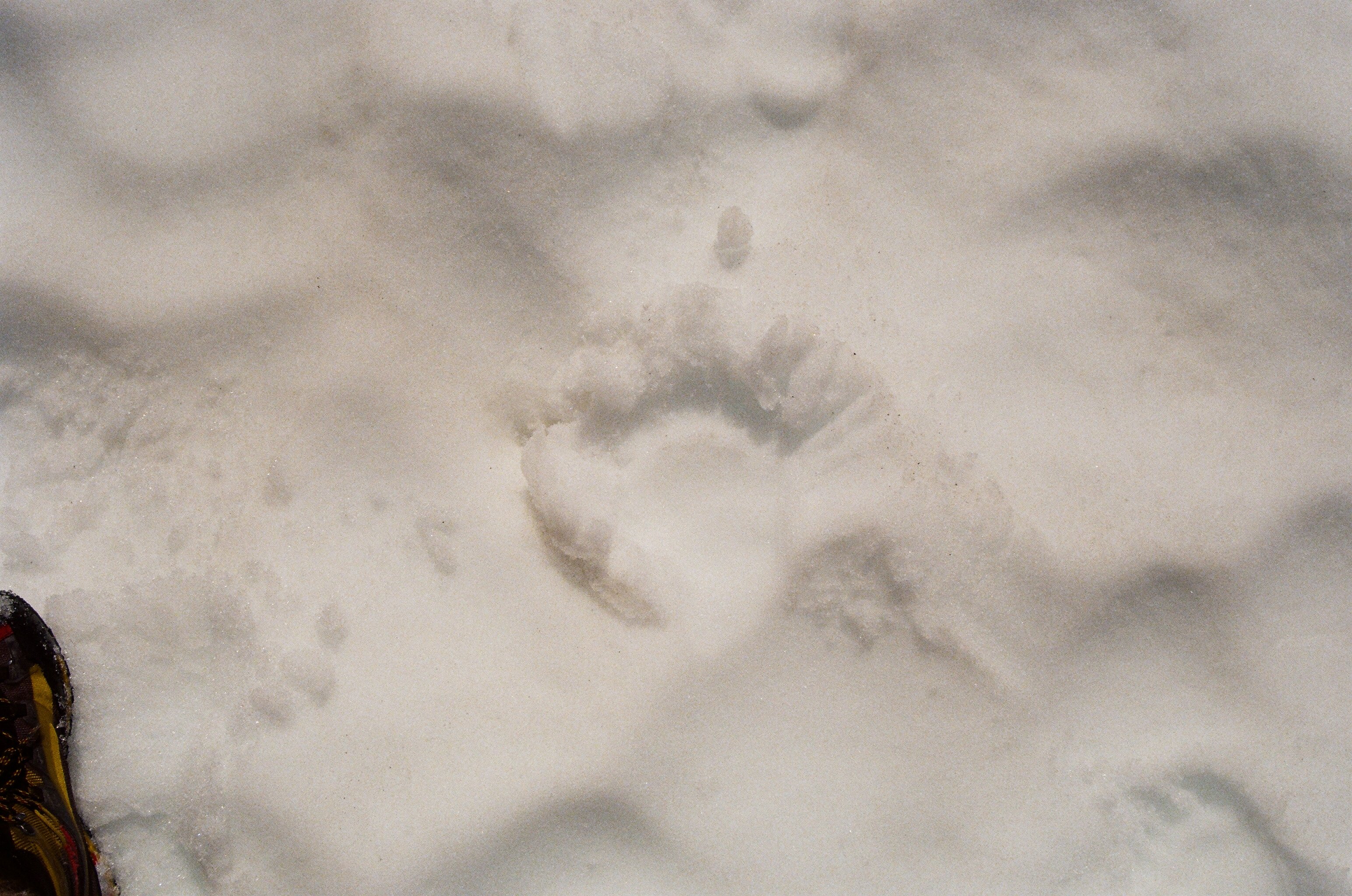
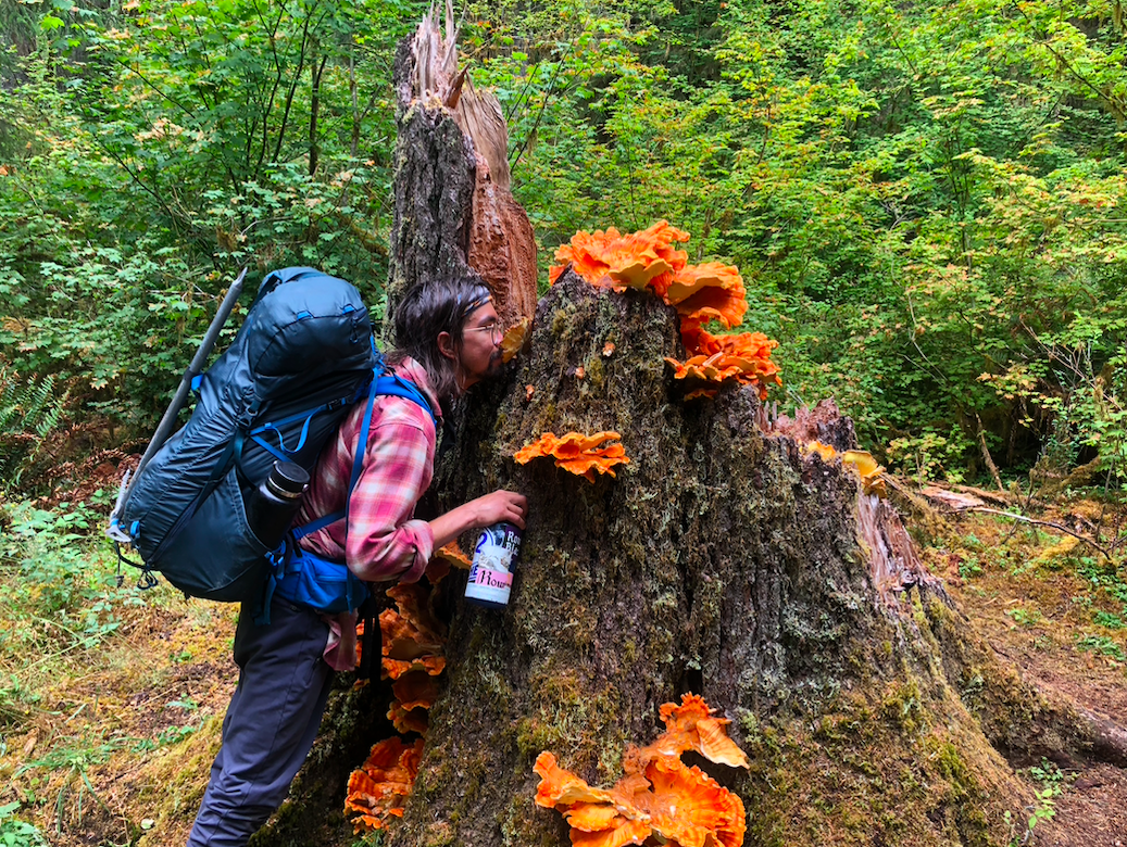
Trip: Olympic National Park - Mt. Olympus Traverse: East Peak, Middle Peak, West Peak Trip Date: 08/01/2021 Trip Report: Mt. Olympus Traverse: East Peak, Middle Peak, West Peak Climbers: Adam “Mo” Moline - Sacramento, CA Emilio Taiveaho - Saxapahaw, NC Gregorio “Brosi” Scott – Minneapolis, MN Summary: Day 1 – Hike to Lewis Meadows Day 2 – Hike to Glacier Pass Day 3 – Summit Push: East, Middle, and West Peaks Day 4 – Restorative climbing/Choss worship at Glacier Pass Day 5 – Hike out Seeking sweet sweet choss, a return to the Olympic Peninsula was in order. In 2020, Adam and I (emilio) climbed the West Peak in a three-day push—an adventure that left us hungry to explore more remote areas of the park and spend some time on the dense and complicated glacier system skirting Mt. Olympus. As this trip marked Gregg’s first backcountry experience, we pursued a comfortable line full of loose rock and crevasses, giving him a delightful taste of the proverbial “freedom of the hills.” Day 1: Our pilgrimage to Sunh-a-do began at the airport, as Adam and Greg picked me up from Seattle on Monday morning. Running low on sleep, I was full of nervous anticipation having just completed a run up Gannet Peak a couple days prior, climbing the South-East Couloir in a twenty-two-hour push. Although my legs were tired, my spirits were at all time high and I was eager to rest my legs by walking alongside the mossy delights of the Hoh River. We made good walking and camped at Lewis Meadows, this being the only site with open campsites along the developed trail. We had a leisurely afternoon spent reading Deleuze and Guattari by the river and beginning to contemplate how to make ourselves bodies without organs. Day 2: After a full night of rest, we began our hike up to Glacier Pass. Soaking in the sights and feeling healed by the forest we had no trouble getting up to Glacier Meadows. Auspiciously, on our way up a smiling mustached old-time climber yelped: “The Ice is great! You won’t even need a rope!” Once at the Blue Glacier, the leisurely walking continued. Crevasses were easy to spot and the ice was solid, so there was no need for crampons. After a good day of walking, arriving at our camp felt like a true treat—we were welcomed with open arms by the mountain. The afternoon was spent staring at Hermes and the Hoh Glacier, basking like lizards under the Washington sun. Day 3: On our third day, we woke up early with our objectives in mind. Descending class 3 rock to the glacier, we put on our crampons and headed up the Hoh towards the East Peak. The Hoh Glacier was in lovely form and we heeded the old climber’s advice, seeing no need for ropes, and made good time negotiating crevasses. Once at the rock, climbing was straightforward, class 3 and 4 to the top. We all took slightly different routes to the top, but found no summit log there. We descended the way we approached, getting back on to the Hoh Glacier in order to approach Middle Peak. The route up Middle Peak was marked by solid snow and heavenly sights. Getting onto the rock was straightforward. The route up was chossy class 3, maybe 4, with a couple cerebral moves. Here, we found a true summit register with a handful of entries—mainly from groups traversing the Bailey Range, which will be an objective in the future. Looking over at the West Peak and getting hungry for more climbing, we decided it was a good idea to rap from the top in order to make good time, traversing onto the Blue Glacier. We were moving fast now, downclimbing class 4 choss after a 30 m rap, when I was frozen by the sound of falling rock and the sudden mushrooming of a cloud of pure dust. This was Gregg’s first time climbing in the Alpine and he had expressed some fear, so my mind immediately rushed to the worst: he had fallen and broken a limb… or worse. Rushing to see what happened, both Adam and I found Gregg suspended by his fingers and toes, having caught himself on a solid jug after a bloody, chossy, bruising rock slide. Seeing he was okay—just a little shook up—made me think of Jean Afanassieff’s legendary words “This is the fucking life! No?” Thanking our lucky stars and bowing to the greatness of Mount Olympus, who humbled us yet kept us going, we made quick time across the Blue Glacier and arrived at the West Peak, troubled only by our own internal agitations and “what if” scenarios. Needing a respite, Gregg waited for Adam and I at the base of the climb as we scampered up the back. It was easy, class 4 climbing with a couple class 5 moves for good taste. At the top, we came across some mountaineers who had spent the last hour watching us cross the glacier. After some good conversation about the beauty of the Picket Range and this summer’s adventures, Adam and I headed down to Gregg, whose nerves were calmed and mood once again elevated. We followed our tracks on the way back and found climbing Middle Peak from the west a welcome breeze. A single rap brought us back to the Hoh Glacier and with soulful bounding leaps, we navigated our way back to Glacier Pass. It’s true what Japhy Ryder says in The Dharma Bums, “You can’t fall off a mountain!” There are times when this adage is felt and its truth shines through—this is something that can only be experienced, description lacks what only the body relates. Food tasted particularly tasty back at camp, where we were greeted by water and the sight of a fleeting hummingbird, attracted to our prayer flags and the vibrant colors of our jackets. That night was filled with a spilling milky way, stars as choss populating my deep sleep. Day 4: The next day we awoke to make coffee and stretch, having carved out a day to rest and recover. Soaking in Glacier Pass without determinate plans we ate a meal of morels and other dried mushrooms, and decided to have a day full of turmeric, ginger, and meditative bouldering. Devotees of the lazy lizard school of hedonism, we worshipped the choss and spent a day on the rocks, singling out Hermes just across the glacier, and living on Big Rock Candy Mountain. That evening, a small black bear crested Glacier Pass not realizing we were there. Upon hearing and seeing us, the Bear raccoonned down the Blue Glacier, moving quickly and lightly back down the glacier. The night was filled with signs of inclement weather—it was clear we were going to be greeted by rain in the morning. Day 5: After another night of deep sleep, we woke up to morning rain and shifting clouds at our Glacier Pass Eden. We packed our gear and a steady glacier walk brought us back to the trail. Our boots guided us back to the trailhead, adorned by a couple water breaks. Near the end of our hike we came across a beautiful flush of Chicken of the Woods, and Adam gathered some for dinner. We are thankful, and will be back for you, Hermes. Gear Notes: Light rack, some cams and nuts. Approach Notes: Smooth Big Rock Candy Mountain Walkin'
 1 point
 -
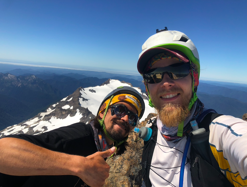
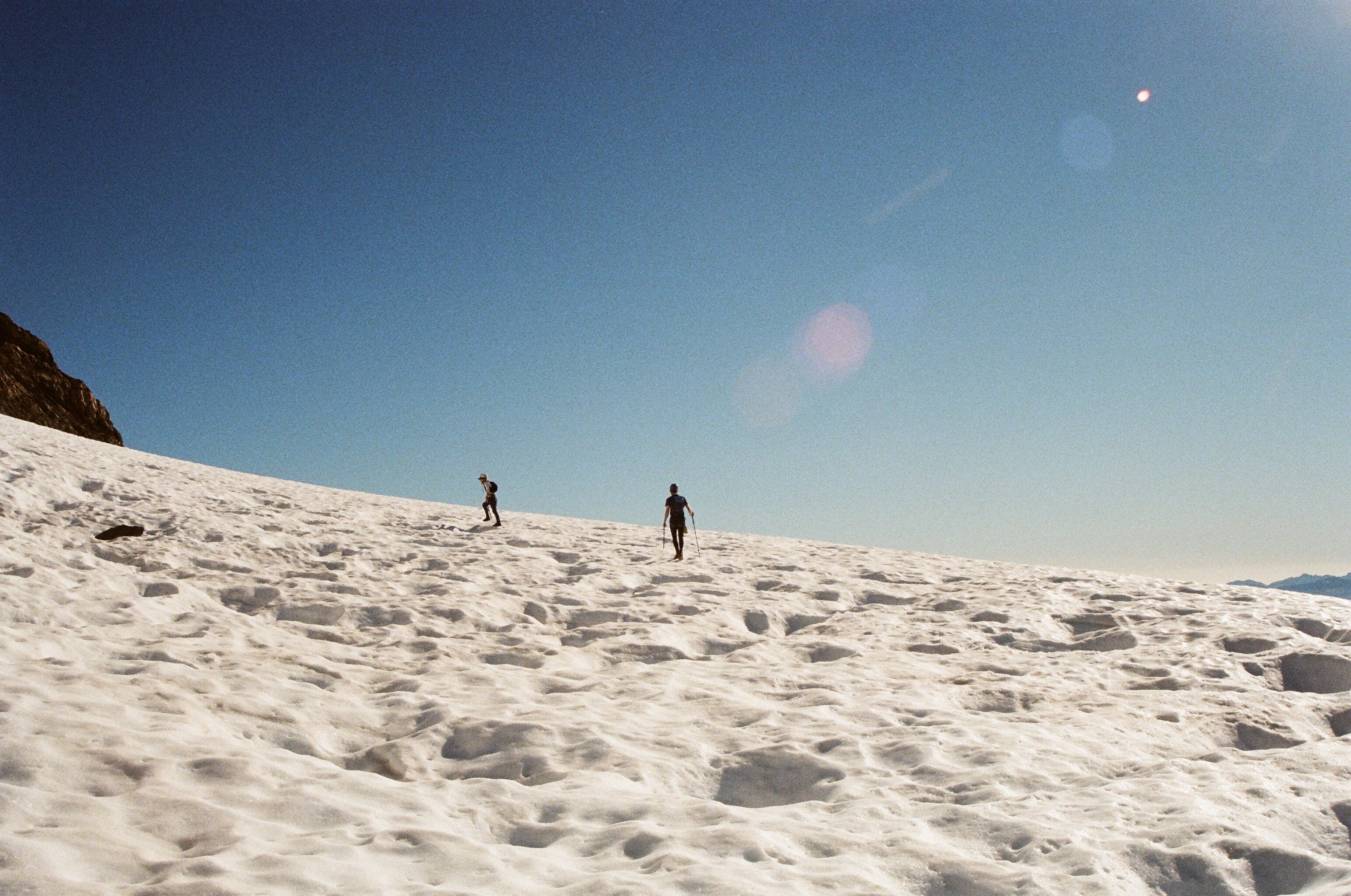
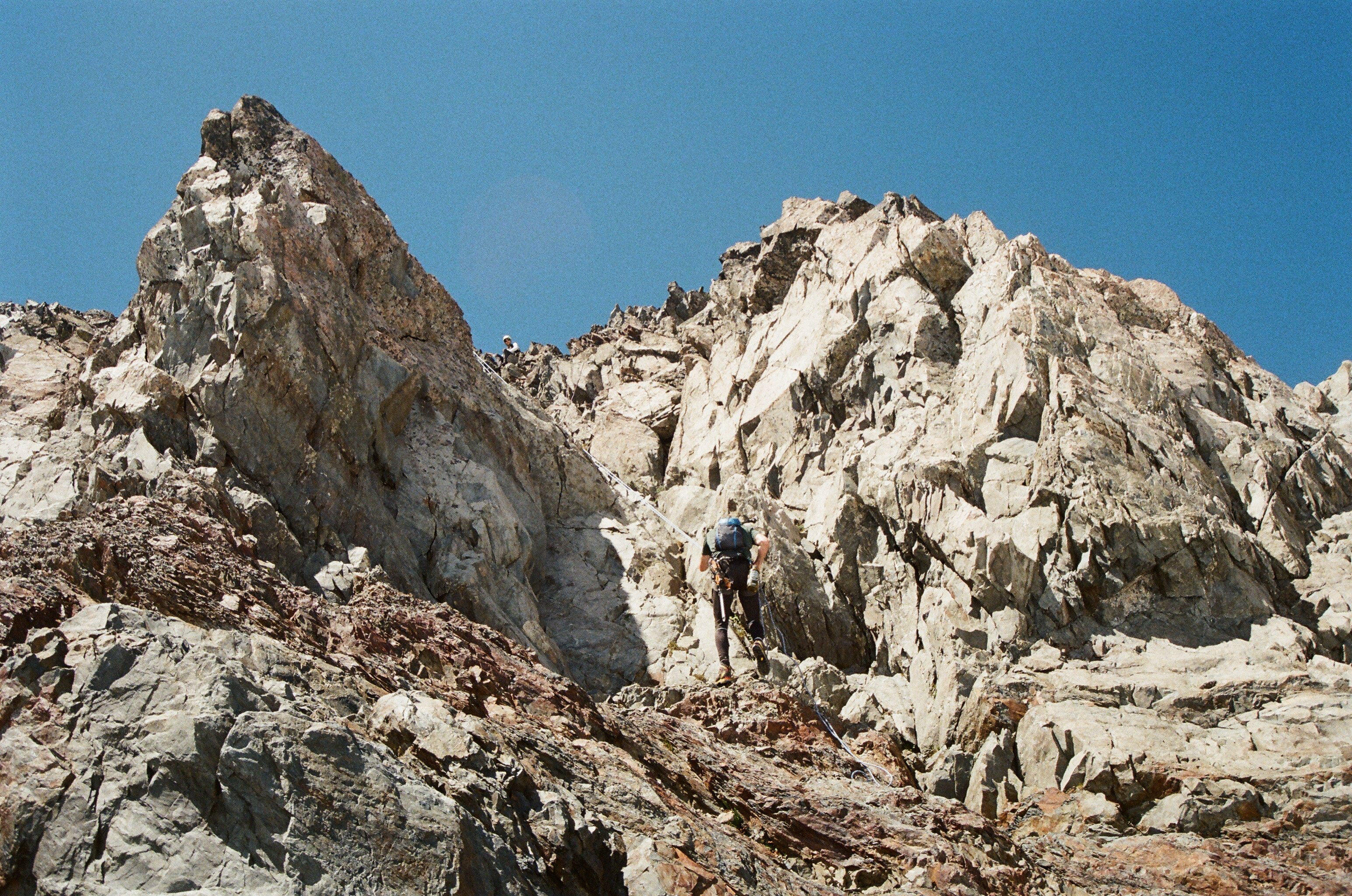
Trip: Mt Shuksan - Fisher Chimneys Trip Date: 08/23/2021 Trip Report: At around noon on Monday the 25th of August, my friend Matt and I began our two-day summit attempt of Shuksan via the Fisher Chimneys. Faint hopes of blue skies and dry rock, dampened somewhat by our cloudy arrival at the Lake Ann trailhead, were dashed completely as we descended into the valley between Shuksan Arm and Kulshan Ridge. Drizzle turned to shower as we hiked along the valley floor. With miles to go before the entrance to the Chimneys, we were both already fretting over steep scrambling on slippery rock. At one point, Matt replied to a hiker that we “were” going to climb Shuksan, a slip of the tongue that indicated our growing pessimism. But, we hiked on through Ann Lake and up through the switchbacked entrance to the Chimneys, determined to at least see the rock for ourselves. Around two and a half hours in by this point, the rain had died down, but visibility remained poor. The first of the Chimneys went smoothly. We had trouble figuring out where the second Chimneys began at the end of the last talus field you cross. Beckey anchors the entrance at a “large boulder”, so through the fog we warily traversed the talus to what looked like, at least to us, a pretty big rock at the mouth of a large gully. The rock in the second Chimneys had fortunately been mostly guarded from rain and appeared to be climbable, so we began ascending. The climbing through the beginning was mostly 3rd class with the occasional awkward and exposed move. The way was much less obvious than we had expected, but we eventually reached a position that allowed us to look back on a well-defined trail that had gained elevation much closer to the entrance. Had we sidestepped the entrance to the second Chimneys? Confused but relieved to find better-trodden trail, we continued in a more straightforward manner up 3rd class rock. Both of the Chimneys had taken us a little more than two hours. We then hopped over to Winnie’s Slide, which this late in the season was now mostly ice topped with a thin layer of snow that had been deposited the night before. Being novice ice climbers, both Matt and I expected this to be another crux in our approach, but our combinations of a hybrid ice axe and an ice tool each proved to be more than adequate, though we didn’t break any speed records gingerly soloing up the steep ice. We camped just past the top of Winnie’s slide at the western edge of the Upper Curtis beneath a towering rock wall after around six hours on the move. There were at least four good tent spots in that general area, and runoff from a small glacial pool just ten yards away provided crystal clear water. The clouds began to clear, and patches of blue gave way to broadening swaths of green and red and orange, yielding beautiful views of Baker and the Upper Curtis bathed in sunset light. We woke up before dawn to a clear and moonlit sky and took our first step onto the Upper Curtis at around 6:20. The snow had frozen into a grippy crust overnight and allowed for easy traversing around clearly visible crevasses to the entrance to Hell’s Highway. Having talked to a guide we had camped close to the previous night, we already knew that the standard ascent towards the left was too riddled with gaping crevasses to go, so we instead gained a windblown, sharp-edged ridge that stood to the right and above these huge rents in the ice. There was a small bridge we were able to cross to get to the bottom of the ridge, but I suspect that this will soon melt out and make Hell’s Highway impassible. We soloed this moderate pitch of ice, which was about as steep as Winnie’s but shorter, though the runout was a little more unnerving. Once we gained the Sulphide, navigation over the lightly dusted bare glacier looked like it would be a piece of cake, and we decided that we could leave our 48m twin rope in the bag. In no time, we had meandered through the large crevasses on fresh bootpack up to a notch at the Southeast Rib of the Summit Pyramid. We took our boots and crampons off and donned rock shoes. The Rib itself went smoothly, and with the exception of one deviation down into a gully climber’s left, we ascended the rocky spine, which was mostly 4th class with perhaps one or two low-5th moves that made me pause for a second. We had decided we would rope up if things got too spicy, but before we knew it it was 9 o’clock and we had reached the summit, rope still stowed away. The views of Baker under a now nearly cloudless sky and the setting moon were stunning, and I also enjoyed looking upon Ruth Mountain, whose early-season ascent I made last summer I consider to be the true start of my mountaineering adventures. We didn’t spend much more time on the summit, and after just a few minutes we began downclimbing one of the large south gullies. After an uneventful downclimb and descent off the Sulphide, we were back at Hell’s Highway. We soloed the descent of the sharp, icy ridge, with every step and stick being made very carefully to ensure our first ice downclimb wouldn’t potentially be our last. Two and a half hours after our summit, we were back at the campsite. We packed up and soloed yet another slow but secure downclimb of Winnie’s Slide, passing a guided group who were making their way up. At the bottom, we encountered yet another party, one of whose members had taken a spill and sprained their ankle. Soon we were at the upper exit of Fisher Chimneys, and the bright sun and bone-dry rock made for a descent much more cheerful than the ascent, though the rhythmic thumping of nearby helicopter blades reminded me to keep paying attention. After running into three more parties on their way up, we eventually reached the point where the day before we had joined what looked like a much clearer trail through the Chimneys. Taking the well-traveled trail down to an unfamiliar steep dihedral corner, it was clear that we had bypassed a large chunk of the second Chimney the day before. For the only time during our trip, we pulled out the rope, deciding to rappel down the feature rather than downclimb. Soon we had reached the bottom of the second Chimneys, and without the fog of the previous day, it was clear that the “large boulder” south of us on the rock field that we thought we had entered by before was a pipsqueak compared to the massive unit we now stood by. We made our way across the talus field on what was now a clear trail, and as the adrenaline wore off making our way down the mellow first Chimneys and the switchbacks back to Lake Ann, the fatigue began to set in. At around ten hours in, we made it to Lake Ann and took a quick breather, relishing in our success and overall luck with the weather, but ready to zip through the remaining four miles of trail back to the car. The next couple of hours flew by as we chatted and took in the expansive views we had missed the day before, and after a brief 800ft climb at the end were back at the trailhead, content with our completion of the diverse and stimulating Fisher Chimneys route. Gear Notes: Helmet, crampons, hybrid ice axe and an ice tool each, single 48m twin rope, rock shoes, standard climbing gear (harness, belay device, carabiners, slings for rappel extension, etc.) Approach Notes: The boulder that stands guard over the entrance to the second Chimneys is marked with a white arrow. There is also a cairned trail that leads to it across the talus field. There should be pretty clear trail almost immediately upon entry into the second Chimneys. If you doubt that you are in the right gully at the beginning, you probably aren’t. There is ample water up to the top of Winnie’s Slide. We did not see any water past the small pond at the campsite here, so fill up here before you make your bid for the summit. Winnie’s Slide and Hell’s Highway are pretty much all ice this late in the season, especially with it being such a hot summer. Two ice tools felt necessary to us, though your mileage may vary. The standard climber’s left ascent of Hell’s Highway was crevassed and wouldn’t go; gaining the sharp ridge to the right (beta we got from the guide at our campsite) was the move. To get onto this ridge, we had to descend onto and then climb off a small snowbridge that may be difficult to cross soon. Rock shoes were great for the Southeast Rib. Like the two ice tools, they may have not been necessary, but they gave us some additional security that we might have otherwise sought with a rope.


 1 point