Leaderboard
Popular Content
Showing content with the highest reputation on 08/13/24 in all areas
-
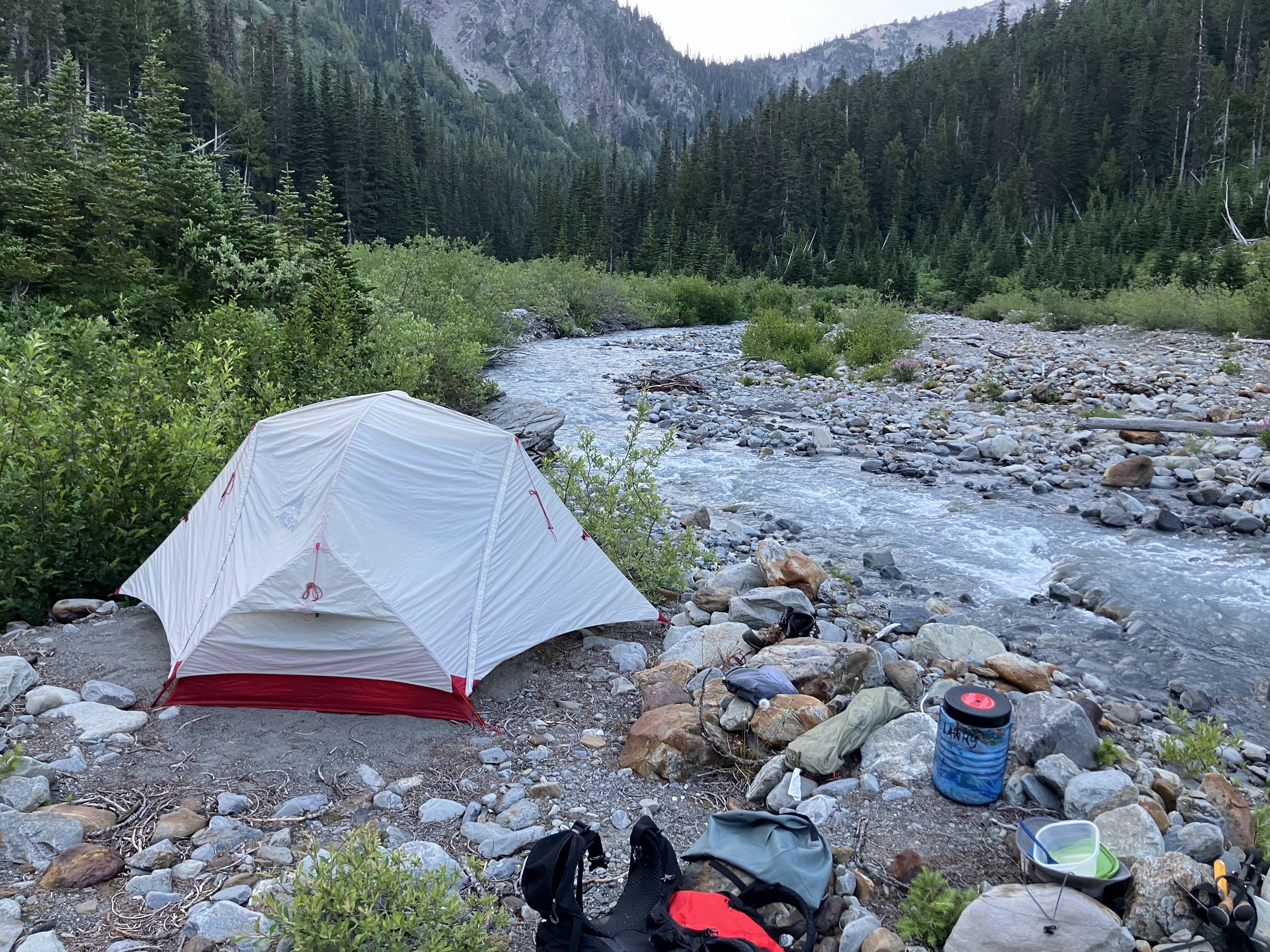
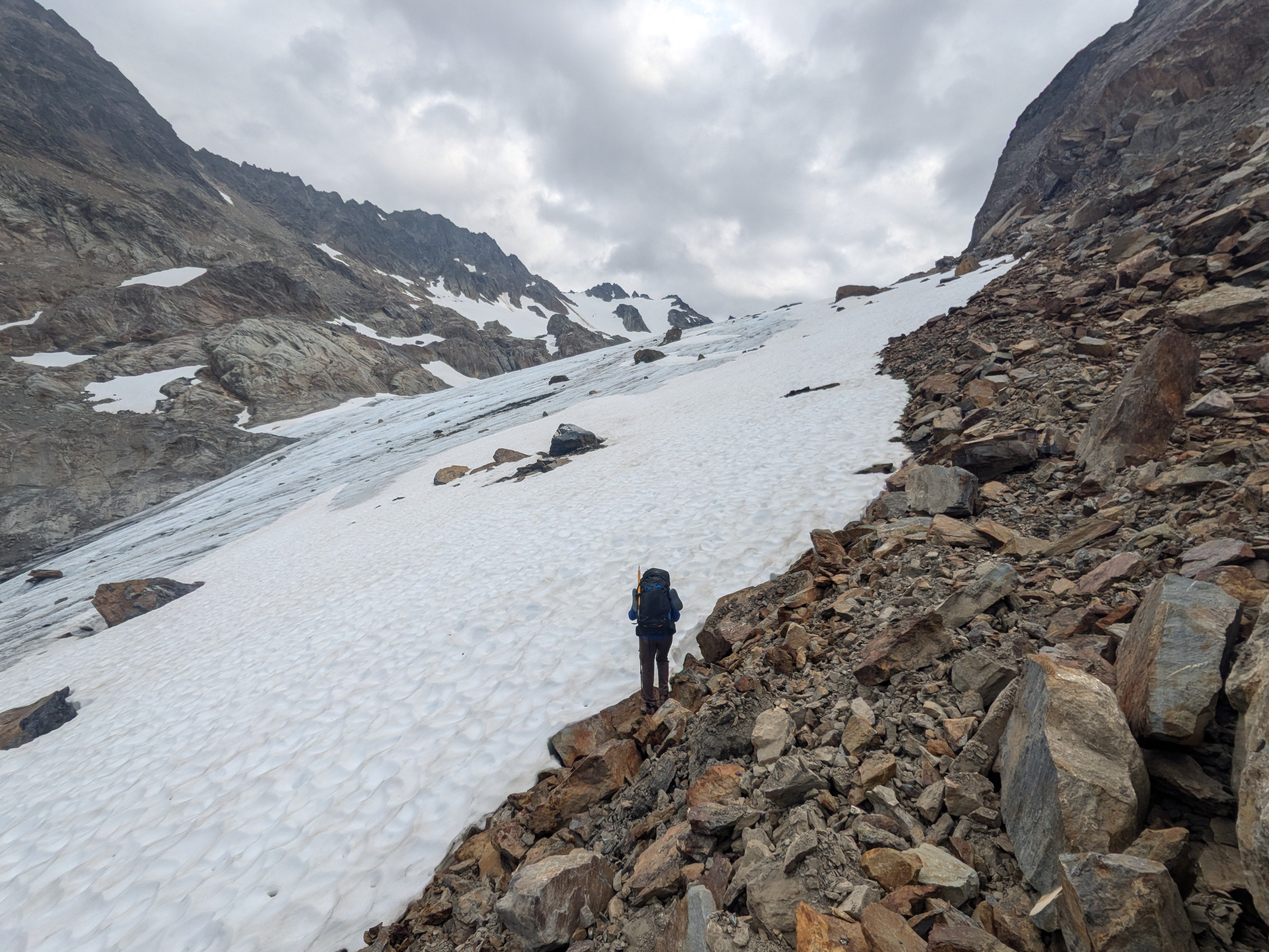
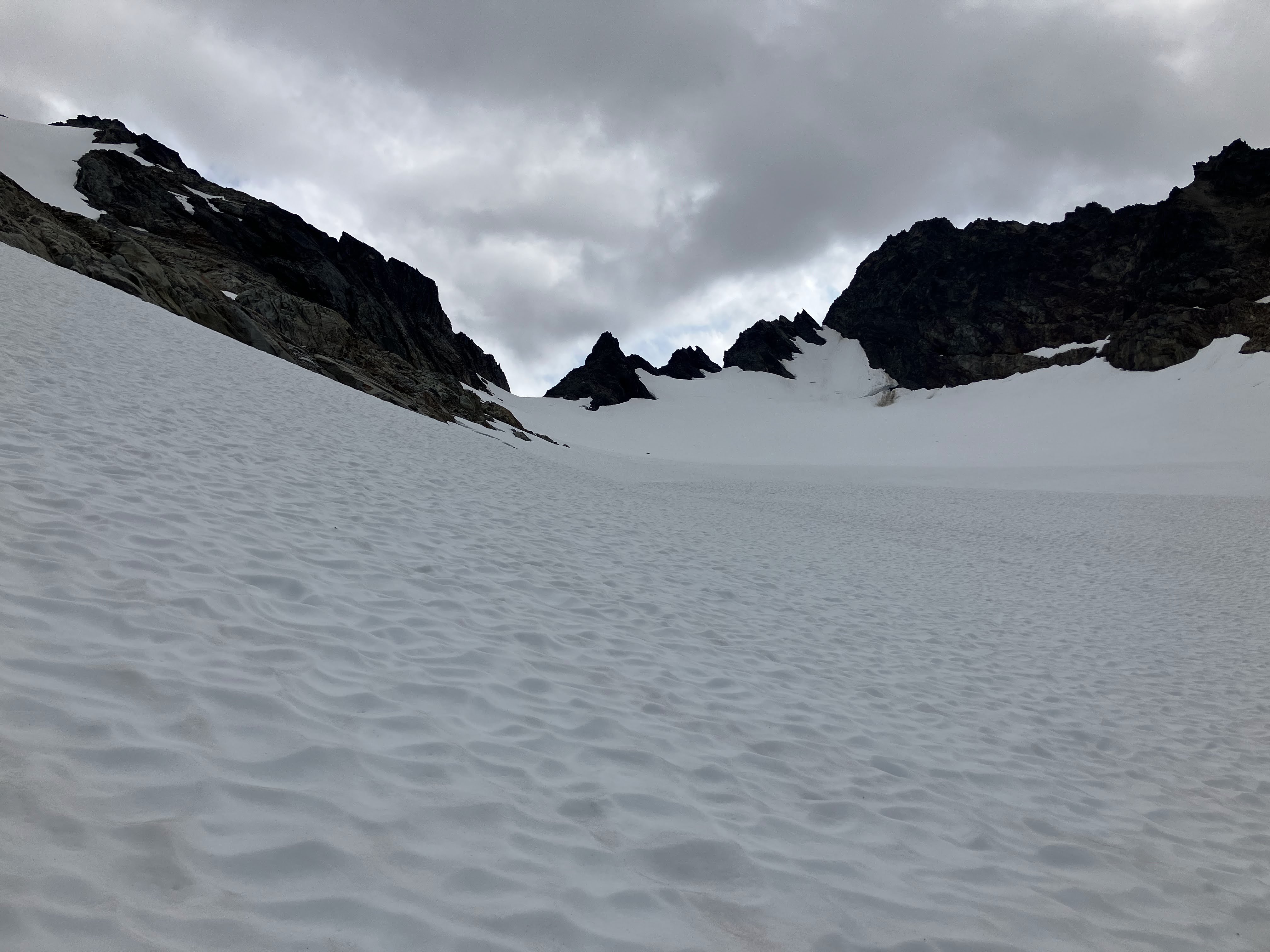
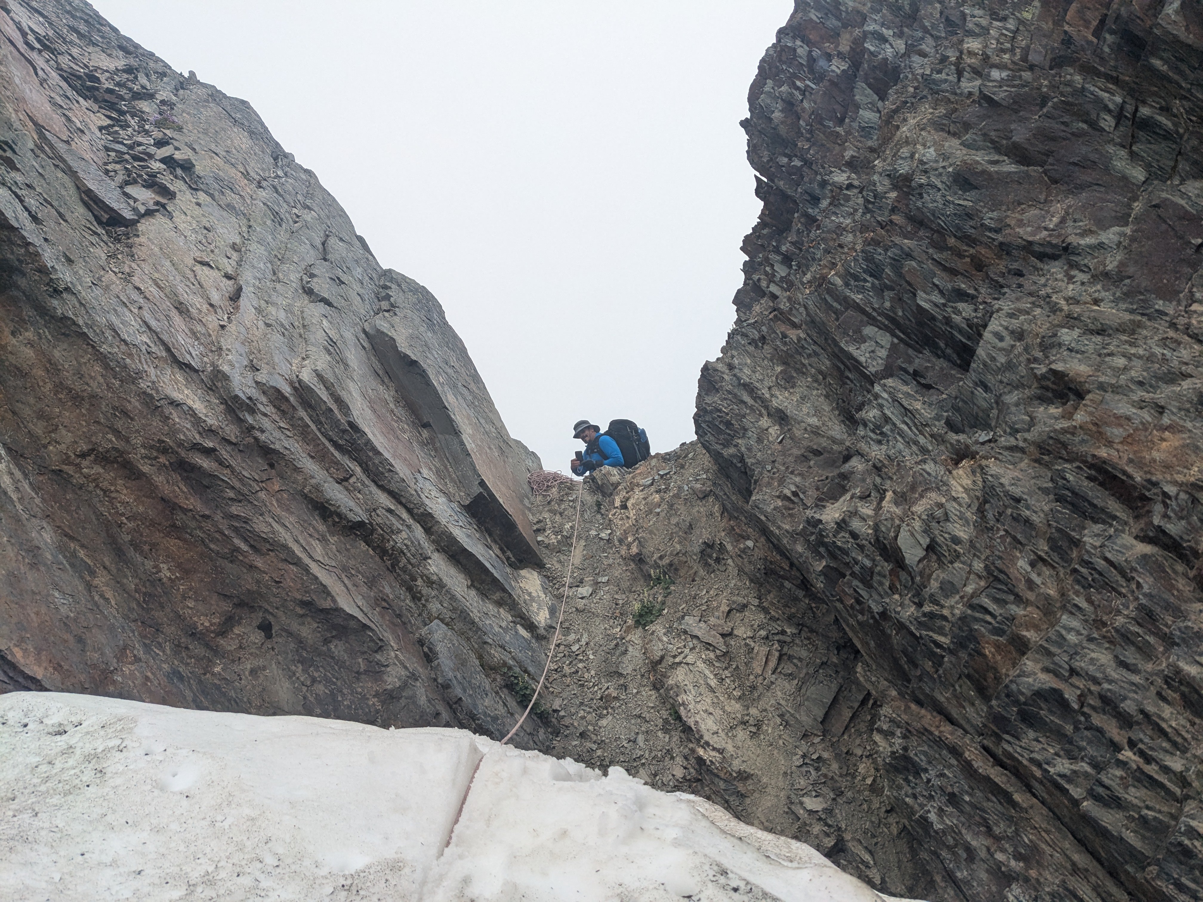
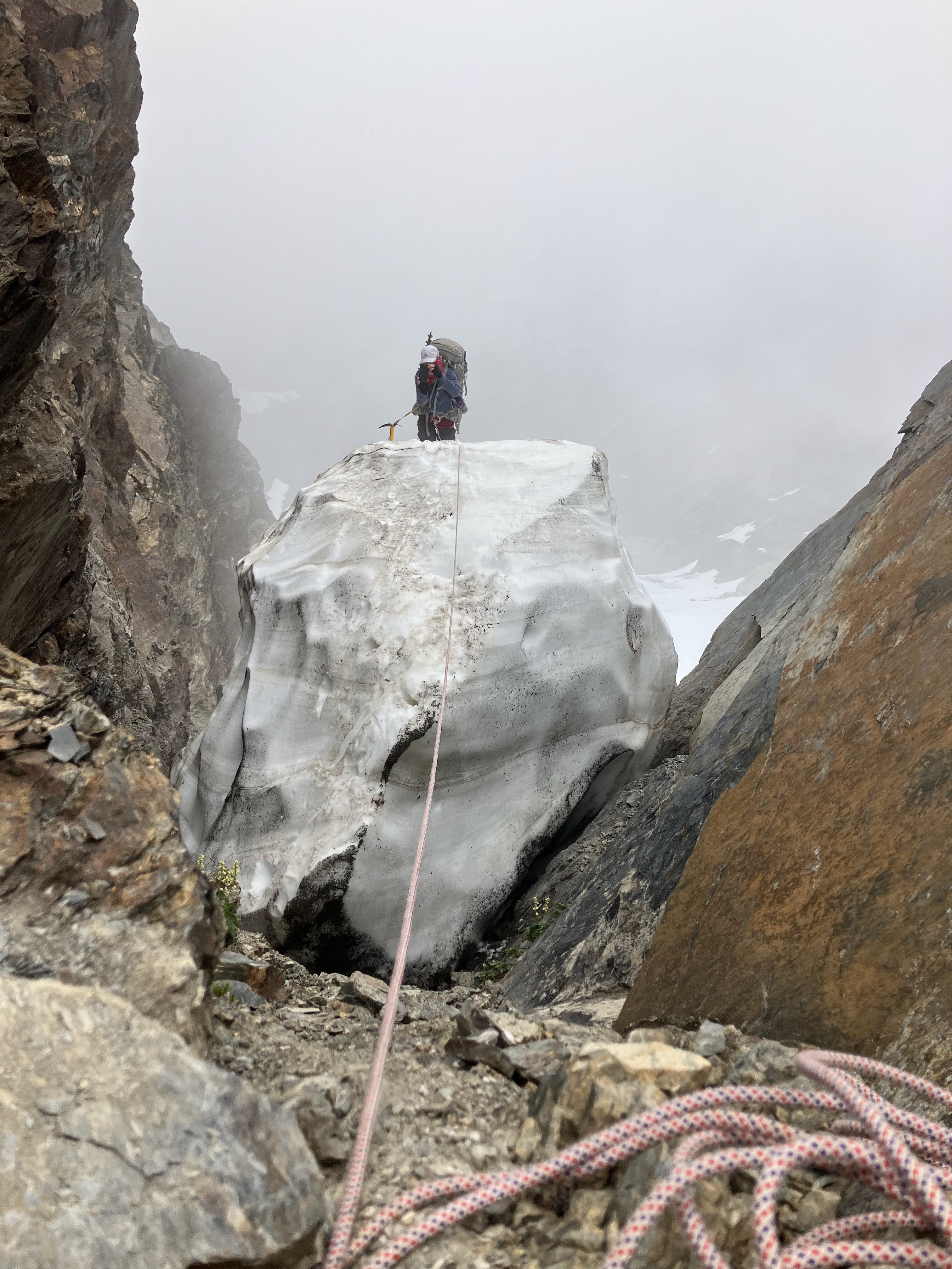
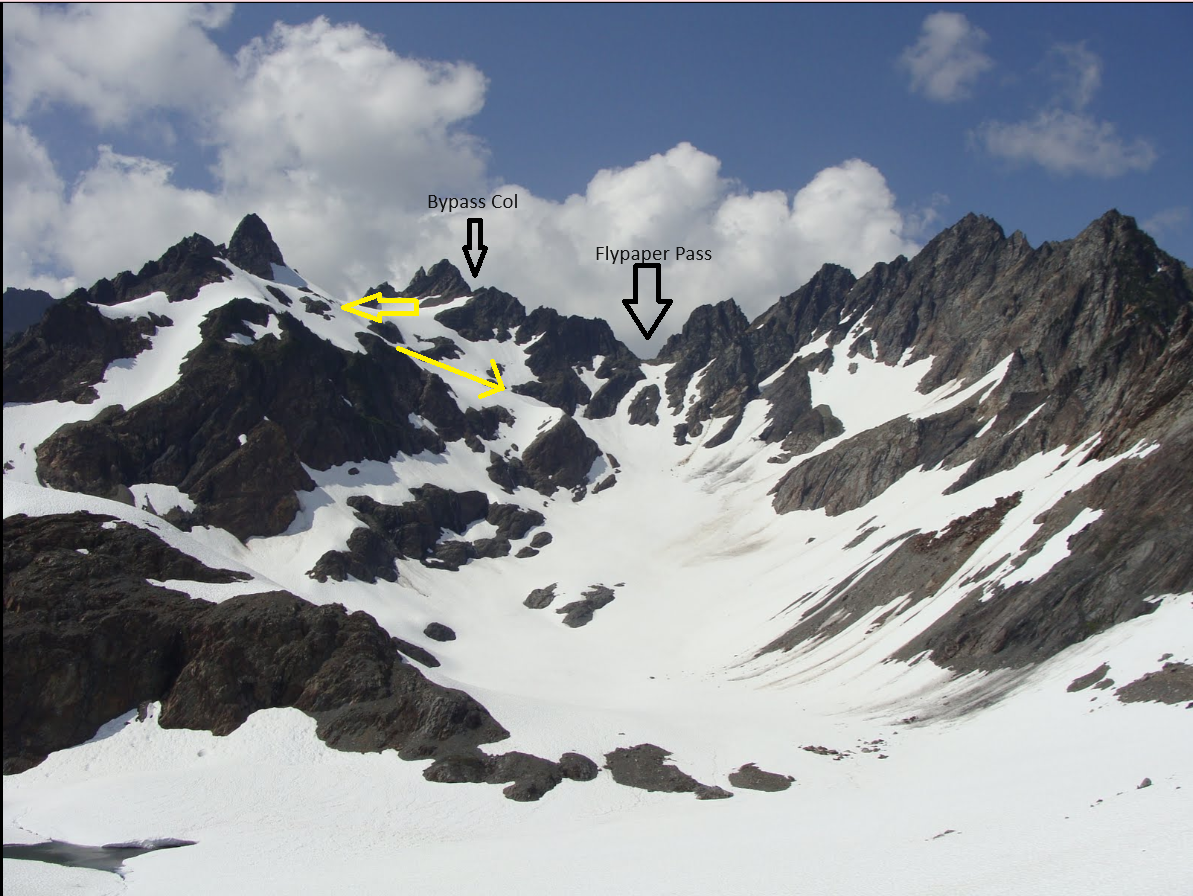
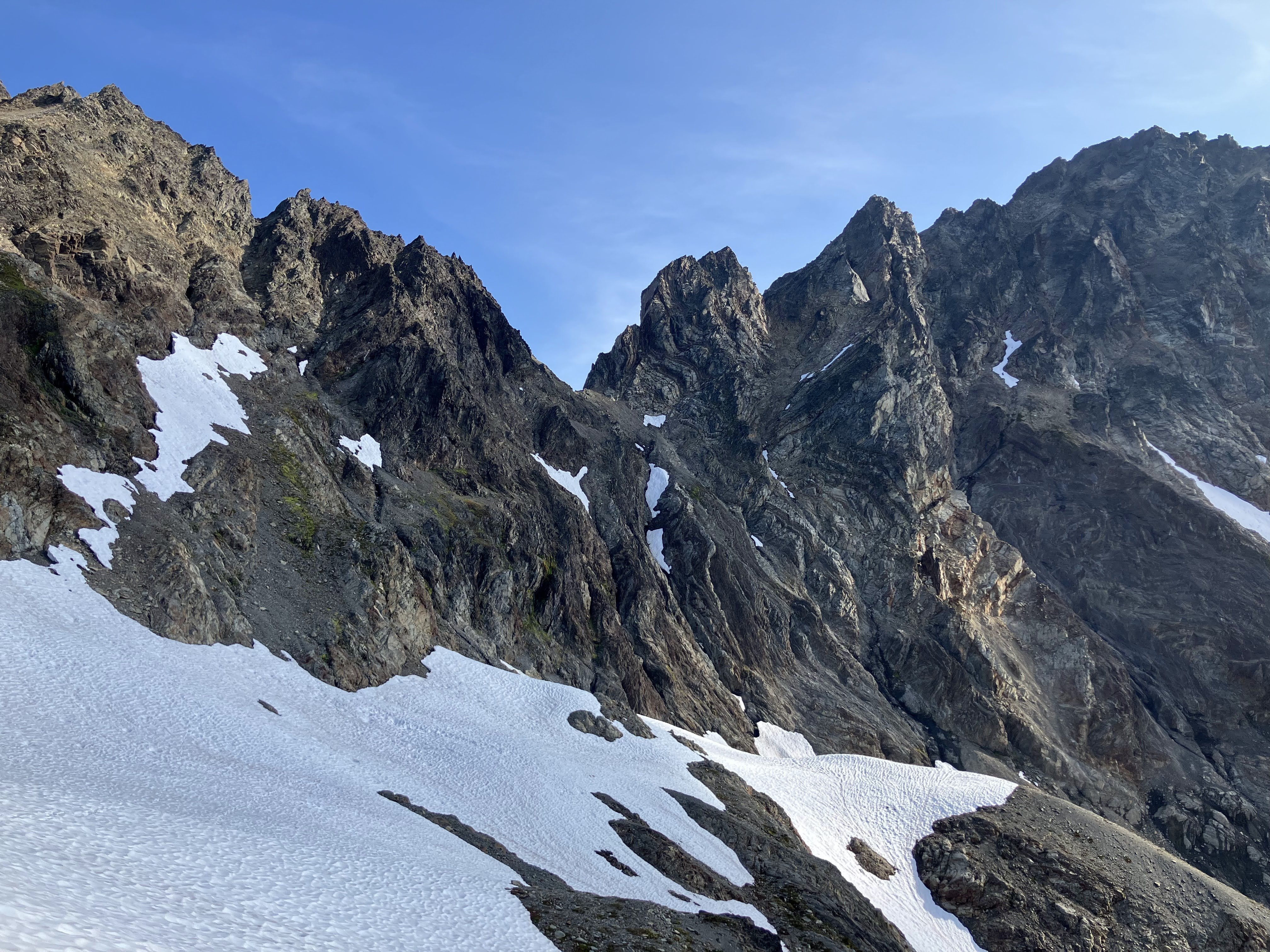
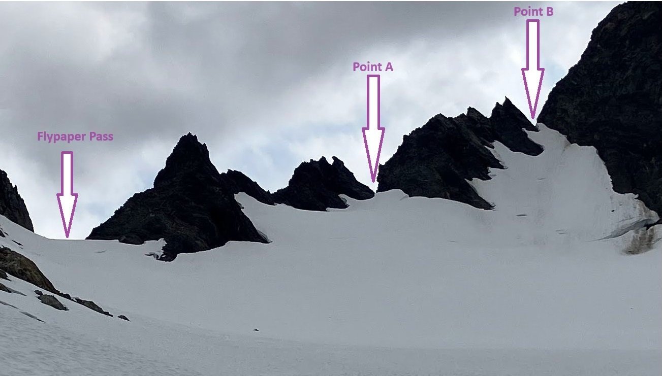
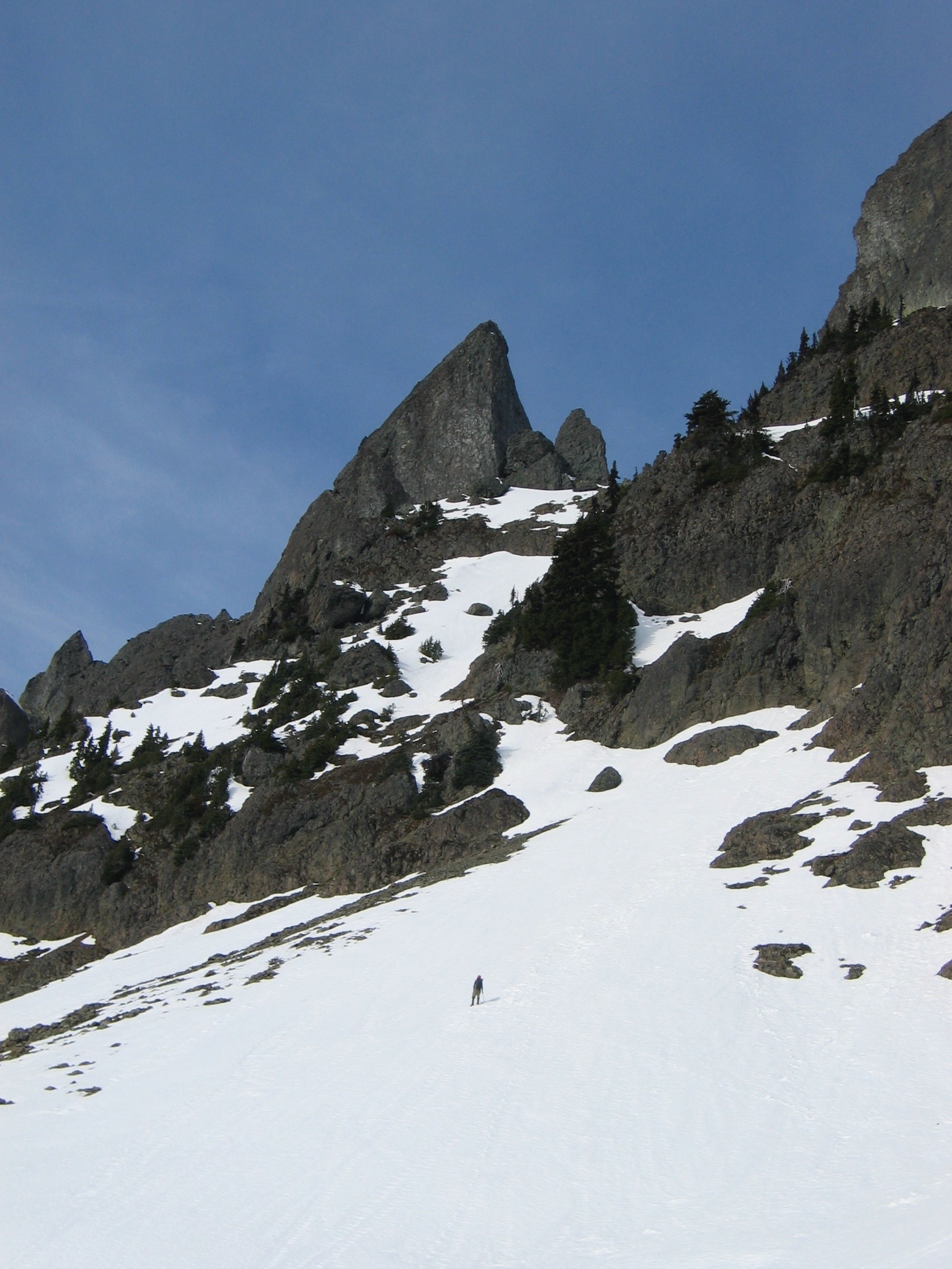
Trip: Olympic National Park - Eel Glacier to Anderson Pass with Backpacks Trip Date: 07/27/2024 Trip Report: We made this traverse July 27-28 2024 as part of a 10 day backpack starting from Obstruction Point. Neither of us had previously been in the area of this traverse. Packs were still quite heavy with about 5 days of food remaining after this traverse. I am writing this mostly to emphasize an alternative to Flypaper Pass that we found manageable with heavy packs. For us, the most technical part was some steep snow on the Eel Glacier side (i.e., to the north of the pass). We started this traverse in Silt Creek, from a camp on a sand/gravel bar. My partner found a very nice patch of fine sand the previous day for our tent. From there, the terrain to Eel Glacier was schizophrenic: sometime fast travel through meadows, sometimes slow travel to relish battling the the bushes and downfalls. Eventually, we began up the right side of the snout of the glacier. After an uneventful ascent of the glacier and then snow on the left, we arrived a couple hundred feet below Flypaper Pass; see picture well down before reaching the pass. The pass is the low point on the skyline. Note two ridge-line points to the right / east of the pass where the snow touches the sky. I'll call the point closest to the pass Point A and the one farther Point B. Point B is at 47°43'9.90"N, 123°20'25.41"W. Initially we tried Flypaper Pass itself. After going down about 150 feet of steep talus on the other side of the pass, we decided it was too treacherous for us with heavy packs. We returned to the pass with the idea of trying an alternate way described by another party. The other party had come up from Anderson Pass to do some peak bagging. Unfortunately, I can't find the link to that trip report right now. From the pass, we retraced our steps back down towards Eel Glacier and traversed east to beneath Point A. The snow up to Point A had easier snow compared to Point B; I didn't want to climb to Point B unless we were confident Point A wasn't the one. We trudged up to Point A and confirmed it wasn't the one - steep rock down the other side of it and technical climbing on questionable rock if one tried to follow the ridge from Point A to Point B. After backing down again, we traversed a bit beneath Point B. Ascending involved kicking gradually deepening steps up some gradually steepening snow for about 250 feet. The first went up mostly unprotected using an ice axe for self-belay. In hind sight, it may have been better to borrow a partner's ice axe to use as a mid-way protection point - assuming a partner willing to give up their ice axe. A snow picket or two would have been very nice to have which we did not. At the end of the snow near Point B, there was a short but steep downclimb to get off the snow to ascend rock/dirt up to the notch. See pictures with one of us at the notch taking a picture of the second who is about to do the short but steep downclimb on snow. The way from Point B down towards Anderson Pass is relatively casual and done as indicated in the annotated image taken from the south (image not from this trip). We found at first a couple hundred feet of moderately steep talus from the notch, then easy snow intermixed with some class 2 in a few places on rocks. A couple times we overshot the easy way and had to back up. Eventually, we found ourselves at the base of the standard rock/snow slot that is the way up to Flypaper Pass. For us, a direct descent from Flypaper Pass would have had a fair amount of downclimbing rock plus dealing with a broken snow finger; see photo showing two larger vertically aligned snow patches below the pass.I believe a competent party could reverse this alternate way we did through Point B. Someone uncomfortable with steep snow might want roped protection on the Eel Glacier (north) side of Point B. For that, 60 or 70 meter rope would probably be sufficient for single-stranded rappel, lower, or just a belay from above. Double-stranded rappel with that length of rope would probably end on still-steep snow. Gear Notes: For this traverse including the glacier travel, we had 200 foot 6mm static cord, two ice axes, a couple slings with biners each, and micro-spikes. I was comfortable with that for getting to Flypaper Pass; we doubled the cord for the glacier travel. Then, even with 200 feet of cord, we probably did about 50 feet of simul-climbing up steep snow - definitely outside of "best practices". A "best practices" gear list would replace the static cord with a fatter rope that is dynamic and water resistant. Having a snow picket or two for the steep snow would have been nice. Approach Notes: Approached from Eel Glacier following high-alpine traverses described in an old version of the "Climbers Guide to the Olympic Mountains".1 point
-
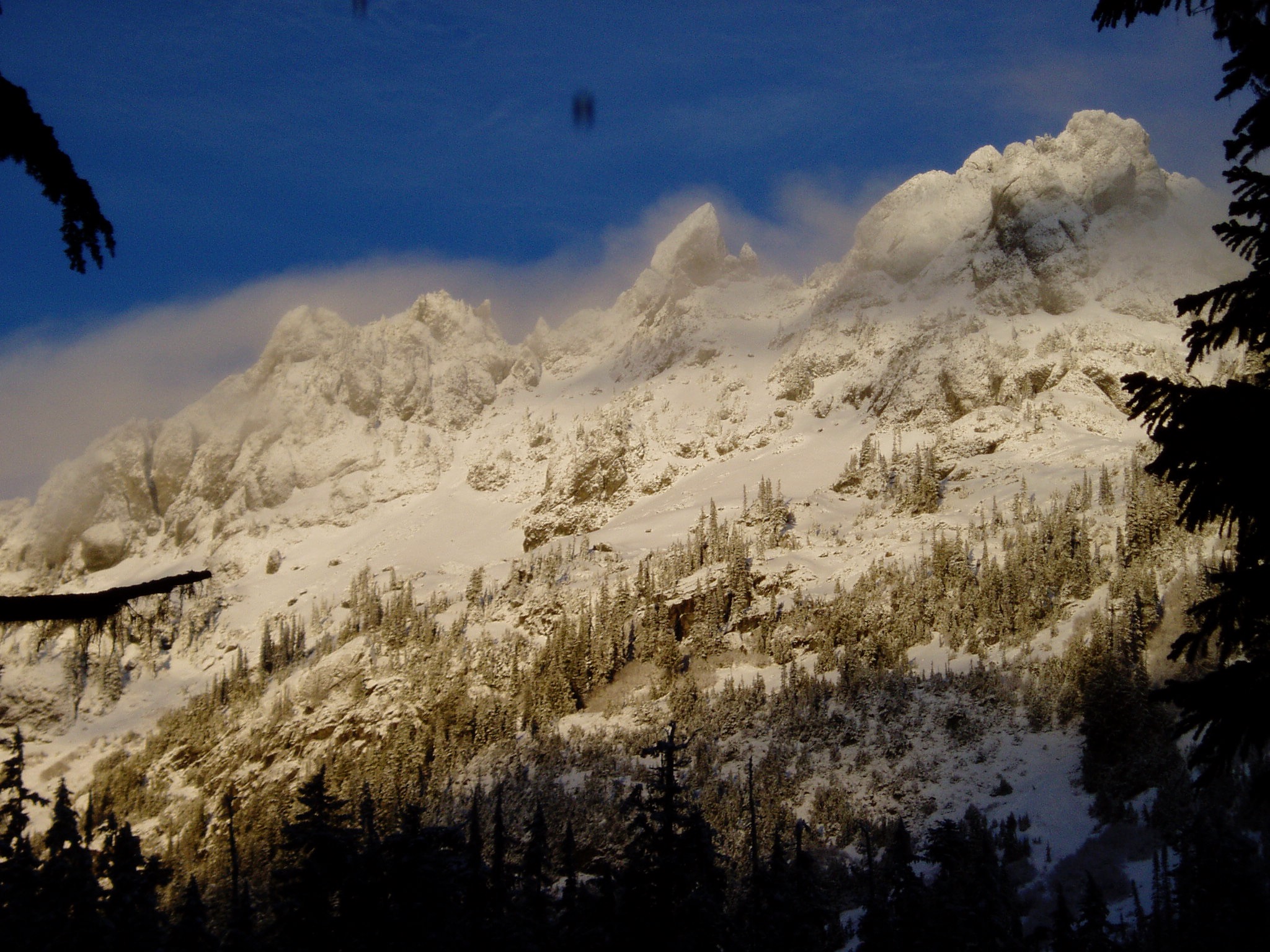
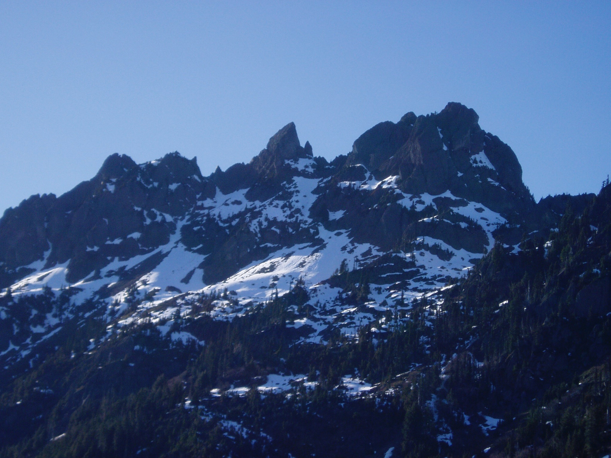
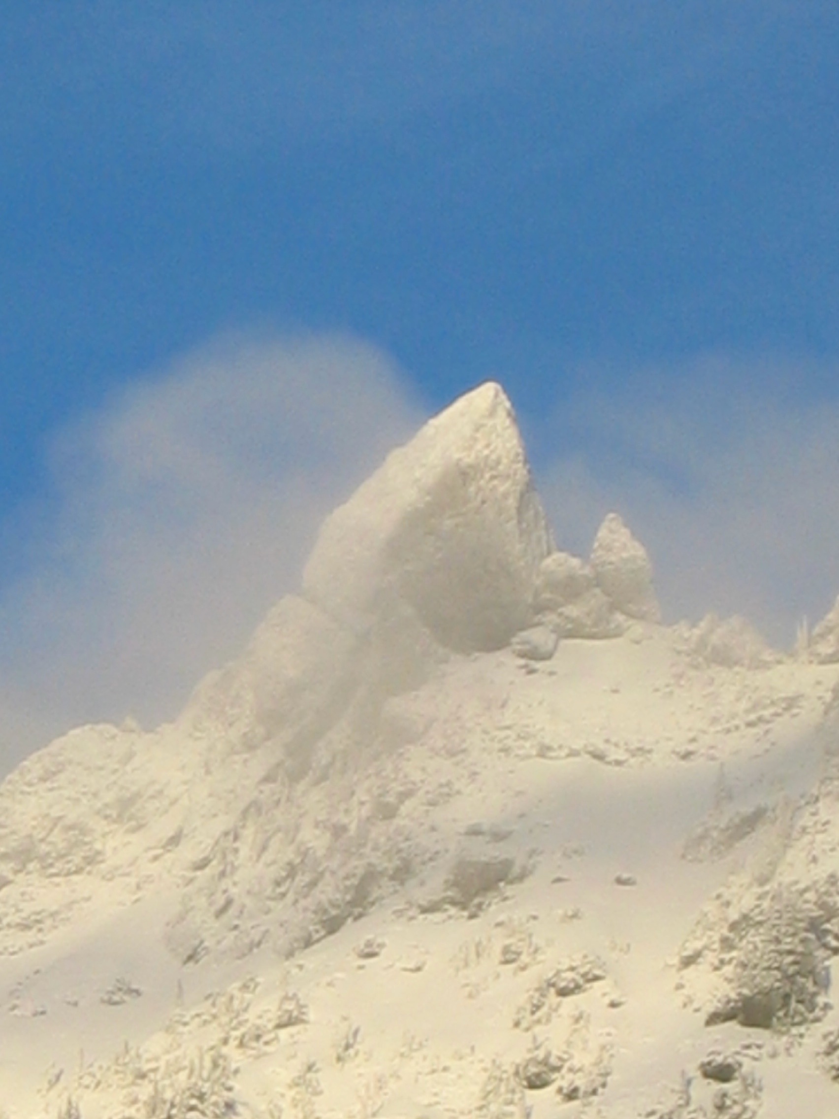
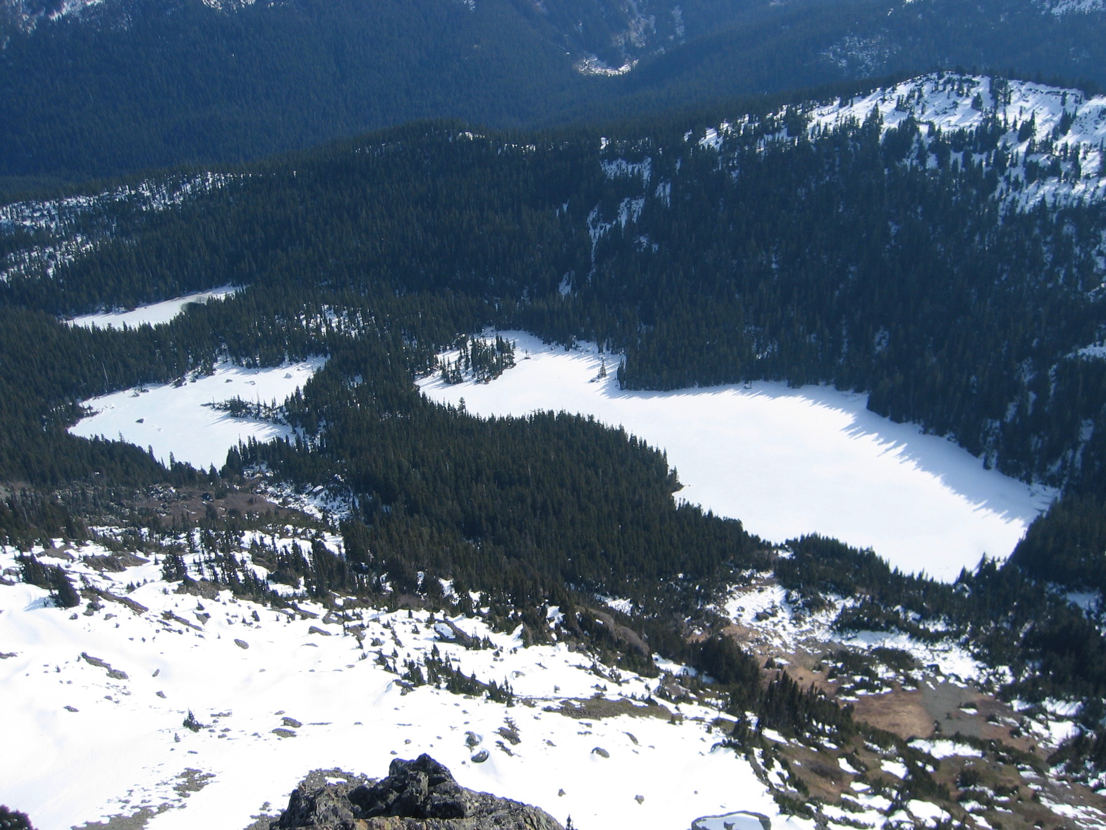
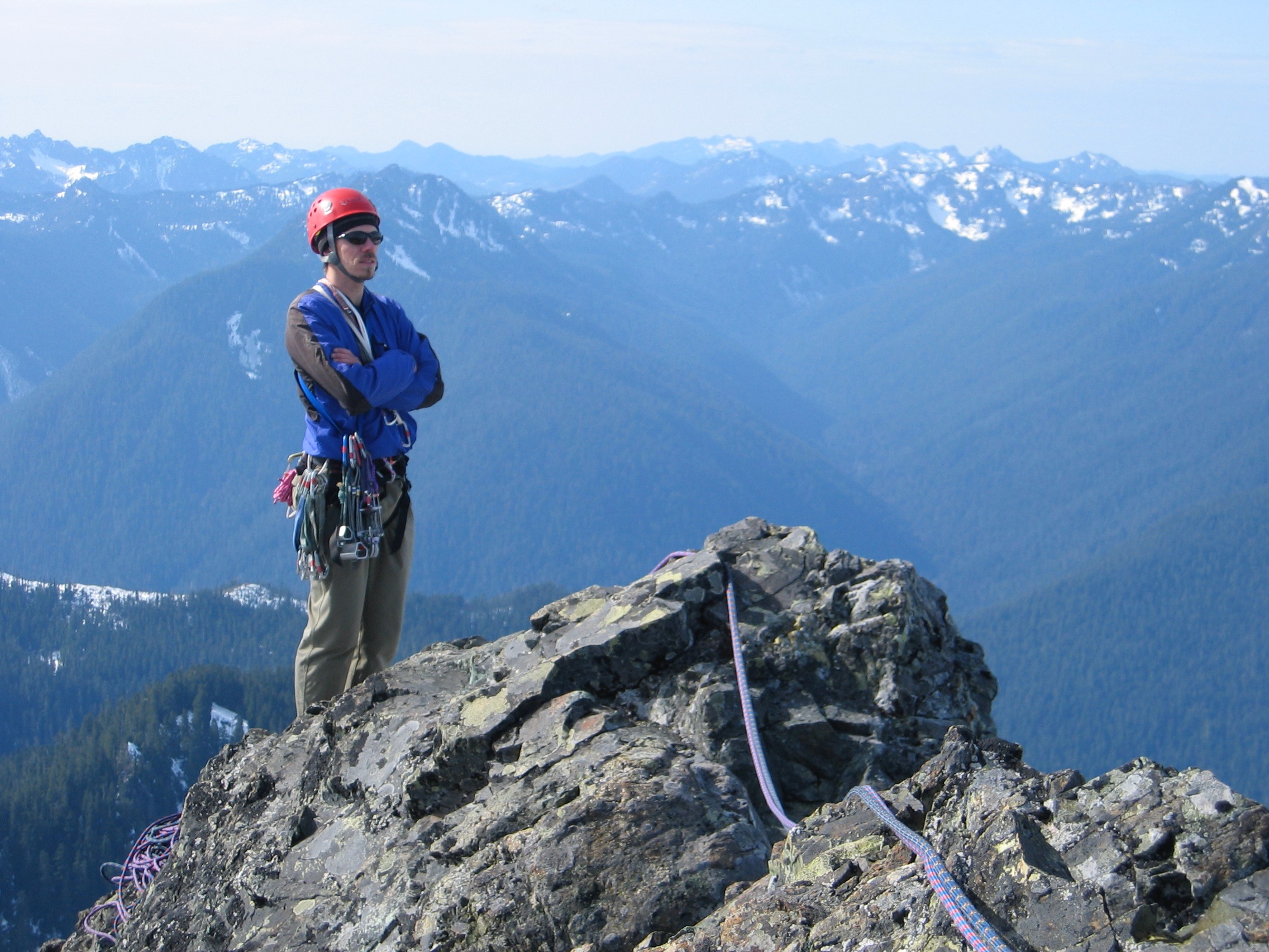
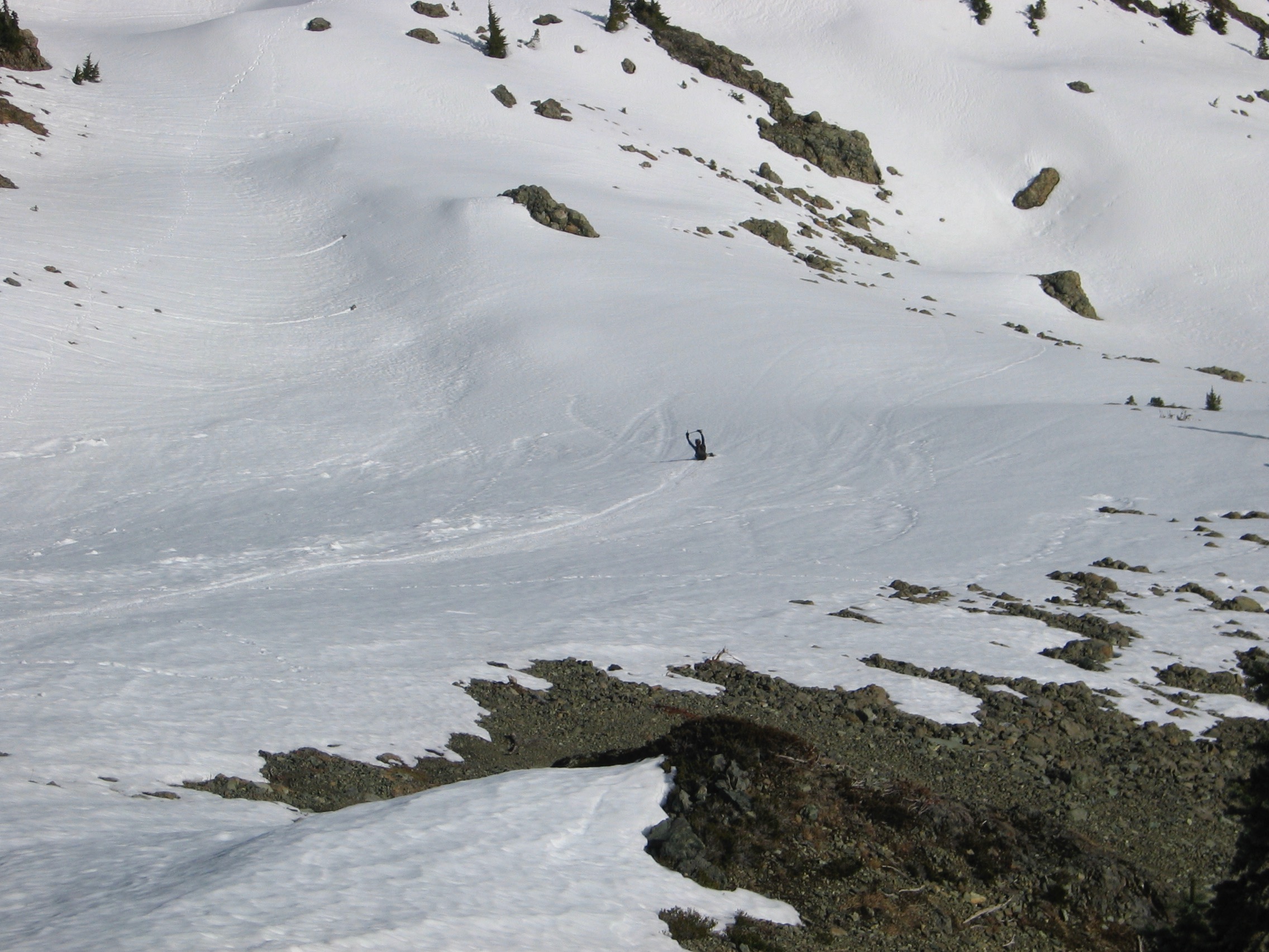
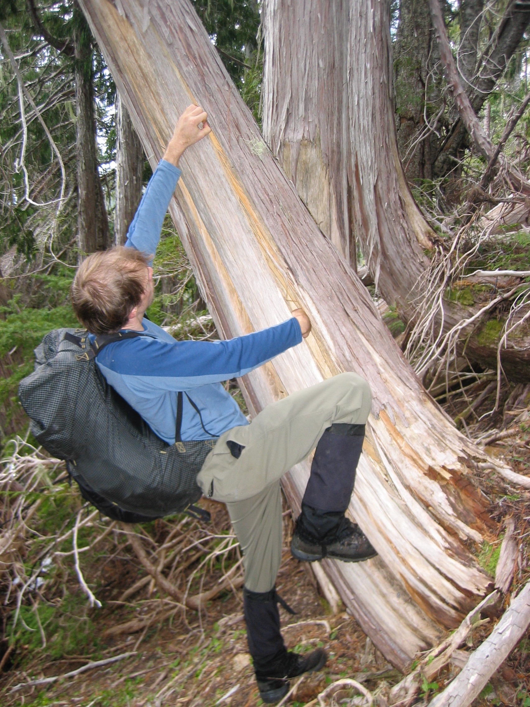
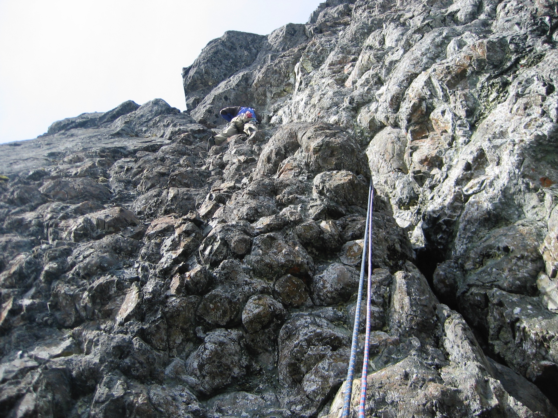
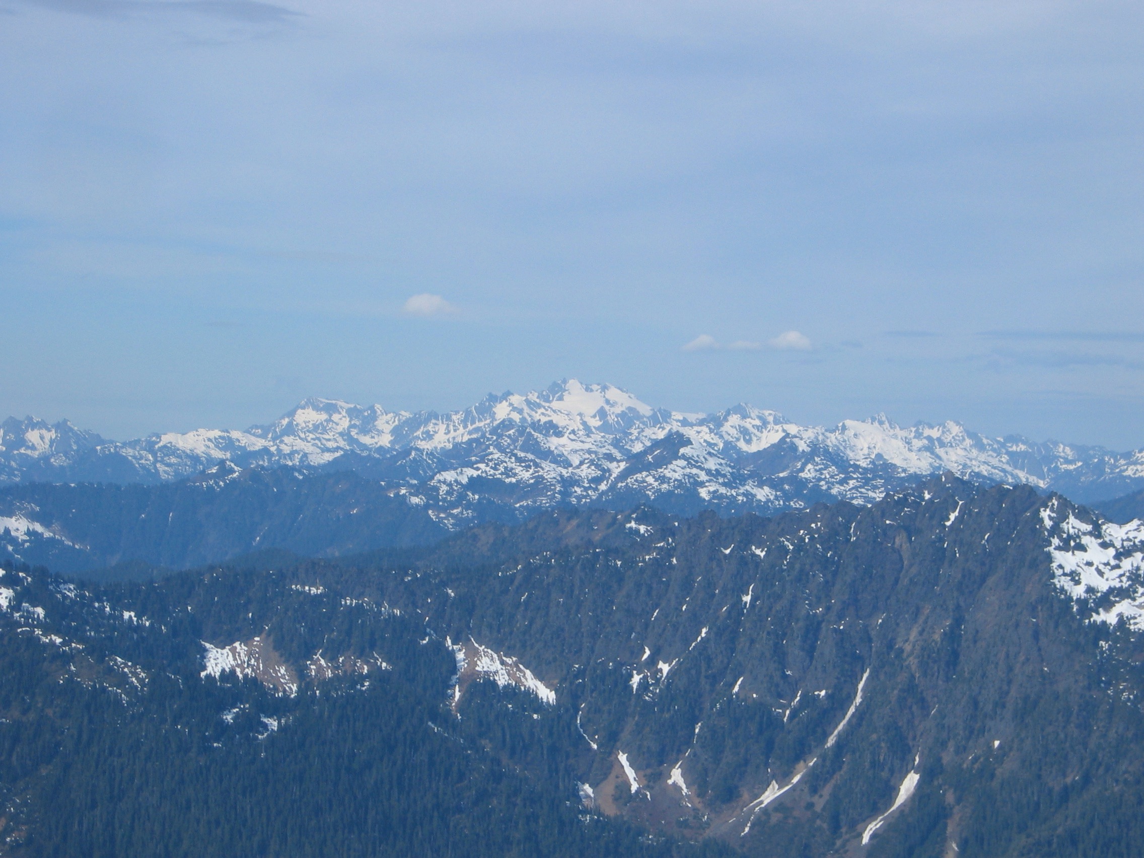
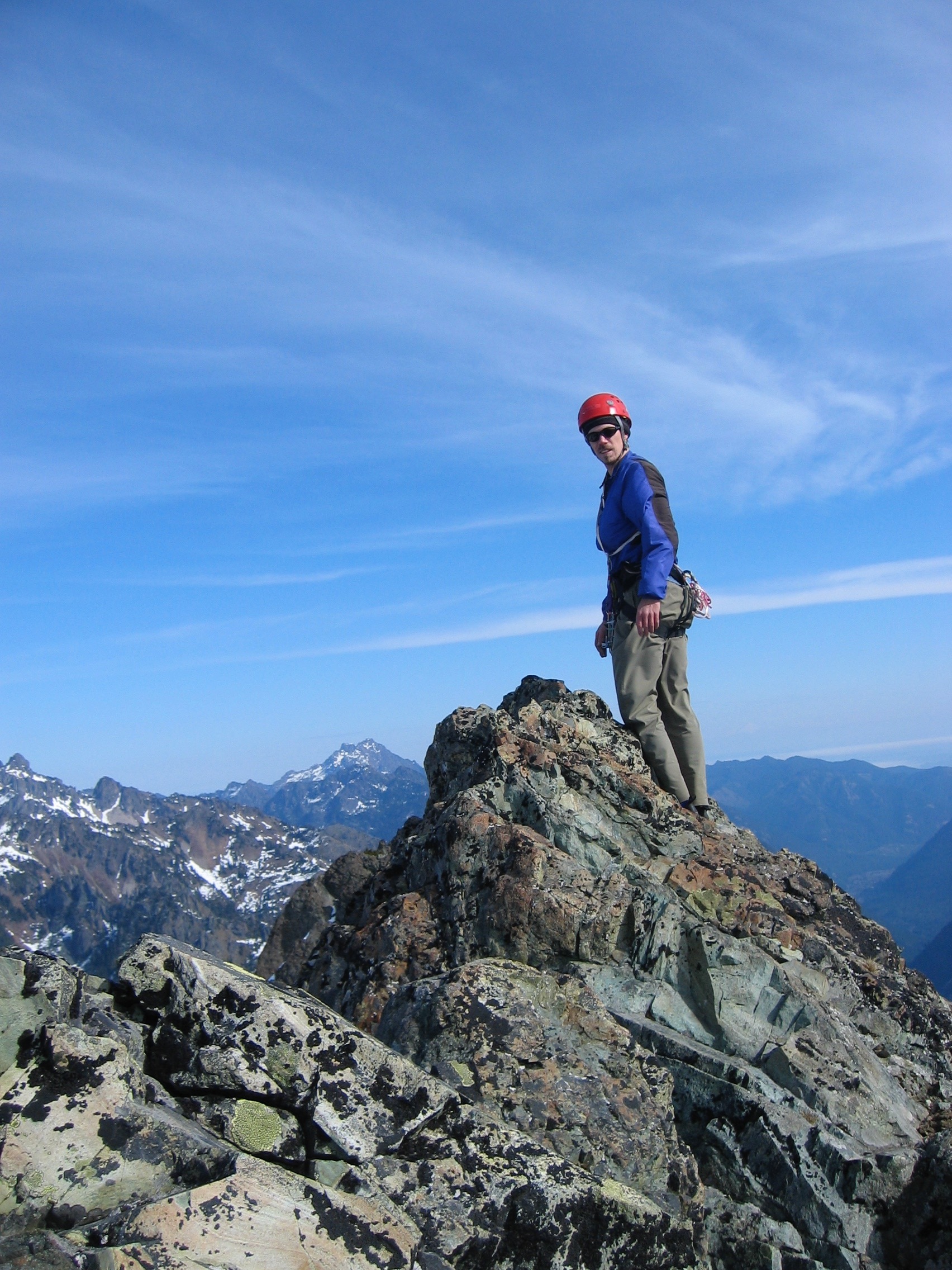
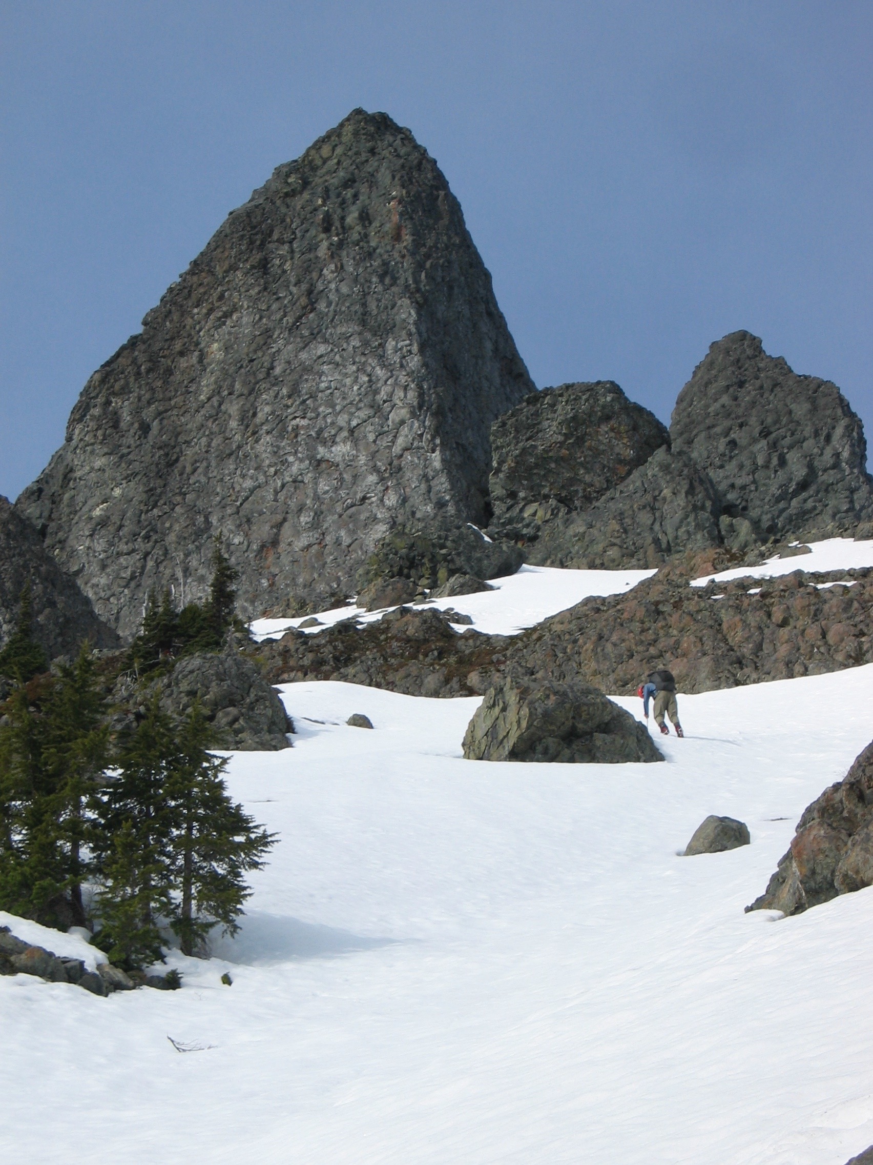
Climb: Mt. Cruiser-Route 1-A Date of Climb: 2/27/2005 Trip Report: Alpinfox (Pax) and I (Porter) climbed Mt. Cruiser this past Sunday (February 27th). We had made an attempt to climb on January 28-29th, but opted out as we awoke to a snow covered rock, which had been clean and dry the previous weekend: Our first attempt was not a waste. During this first trip, we came up with an ingenious ad campaign for JetBoil stoves. One scenario involved and old couple sitting on a park bench and JetBoil Man. I'll spare you the details, but basically our financial futures are set and paved in green. Anyway, last weekend we saw a picture posted by Fairweather from his Mt. Washington climb that showed the Sawtooth range, and we could see that Mt. Cruiser was dry, so we decided to give it another go: We were able to drive past the Putvin trailhead this time, but soon after were stuck in the snow. After digging ourselves out and then getting stuck again, with some help from some Olympians, we got unstuck and turned around. We left the car at around 1pm and hiked up the road to the Mildred Lakes trailhead, and onto the lower Mildred lake by 5:30. We set up camp and hit the hay early. During the night a tiny snaffle scurried across my face and then was in my hair for a small time. We also heard a mysterious noise, which could have been an owl or maybe a cougar? We awoke to a perfect day (compare this with the picture above of our previous attempt): We left our camp at 8am and headed up to the upper lake. We decided to take the following route up: In our scramble up we came across the tracks of a big cat, which Alpinfox identified as either a creature part lion/part tiger....or a cougar (see above). We also found some excellent bouldering on the way up, as demonstrated by Alpinfox as shown here sending Tree Crack: We finally hit the snow fields and donned our crampons and headed up. The snow was consolidated, with a slushy crust. Finally we made it up to the base of the summit block and roped up. Here is Alpinfox headed up the 5.4 pitch of route 1A: We were able to make the summit in two pitches: one long one to a big platform, and one short scramble to the summit. We had 360 degree view of the Olympic mountains. Olympus: Mildred Lakes below: Alpinfox on the summit: #1 Best Belayer: ....and glissading down: We were back down at the camp in a couple of hours and made it out to the car by 6:30. The approach is definitely the hardest part to this easy rock climb, but the views were certainly rewarding. The existance of consolidated snow definitely made the traveling easier up on the ridge, and the recent sunny spell dried the rock of any snow or ice it may have had. According this this thread, there is a possiblity that Cruiser has not seen a winter season ascent before, but it would not surprise me to hear that has been done before. Thanks to Alpinfox for the ropegun duties, and thanks to Fairweather for posting the beta that helped us determine that the route was dry! Gear Notes: JetBoil Stove Extreme attitude Chocolate Halva Top Ramen 1 60m rope (with 10' of 3rd class downclimbing) alum. crampons ice axe #3 camalot (or equivalent) there are a few unnecessary bolts on the route Approach Notes: Road was drivable up to just past the Putvin trailhead. The trail in the trees was clear for the most part, but buried in snow in places.1 point


