Leaderboard
Popular Content
Showing content with the highest reputation on 08/12/20 in all areas
-
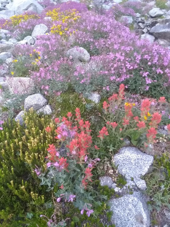
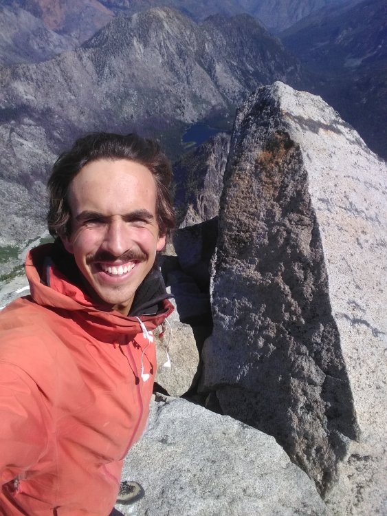
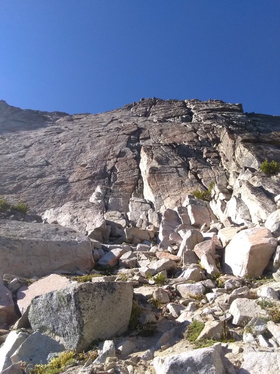
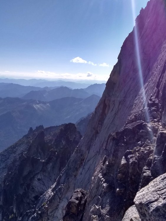
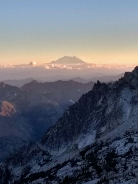
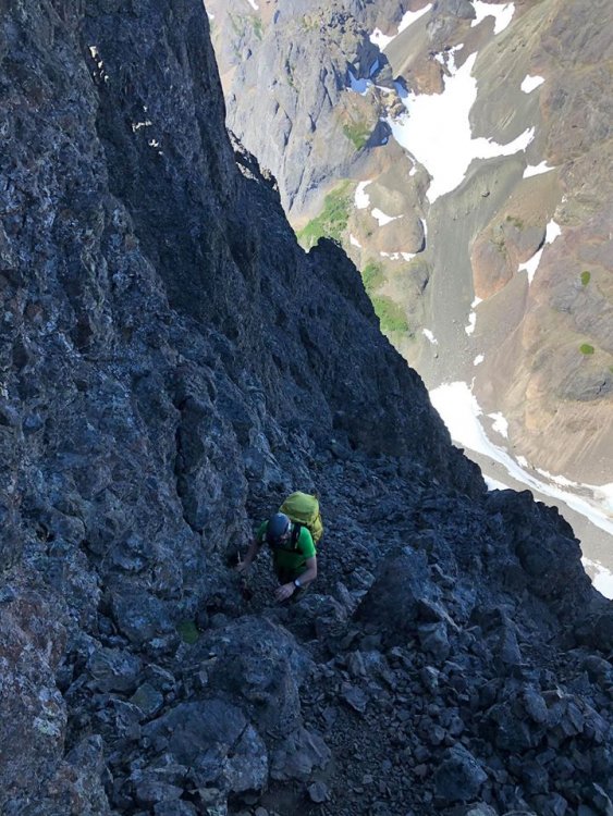
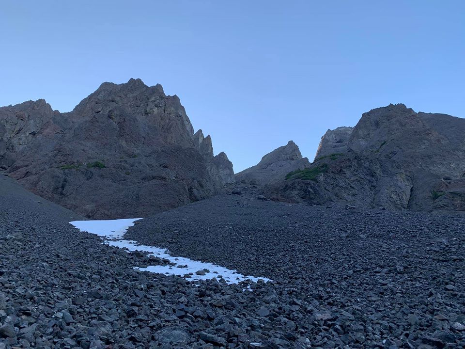
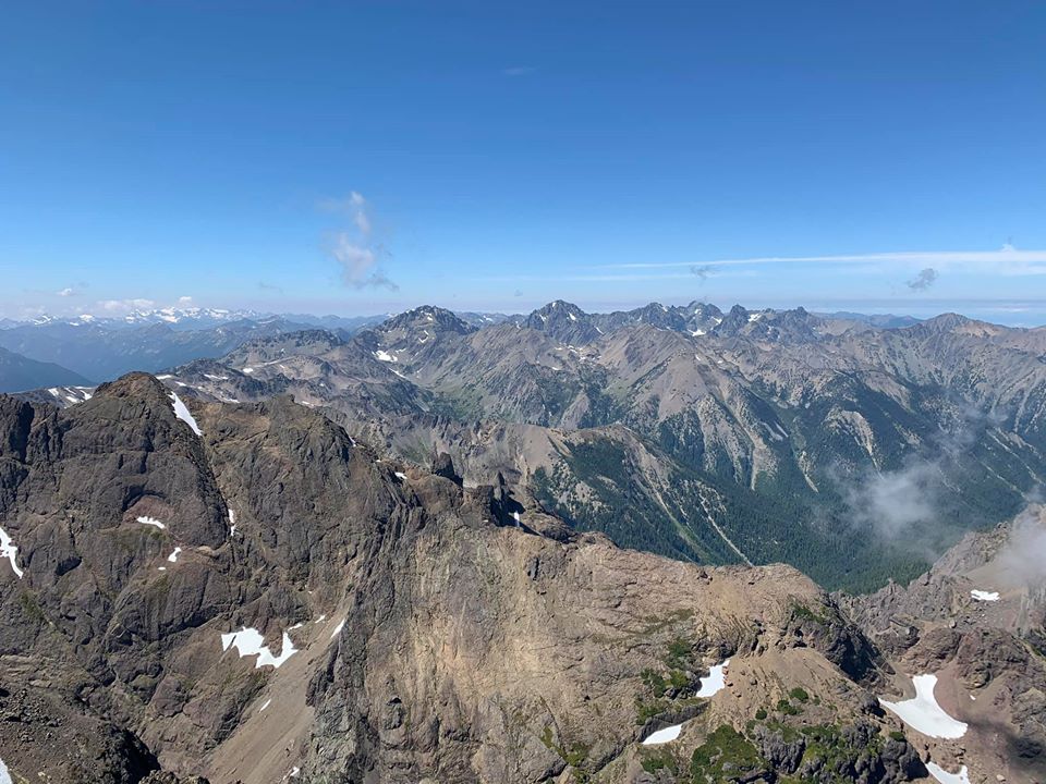
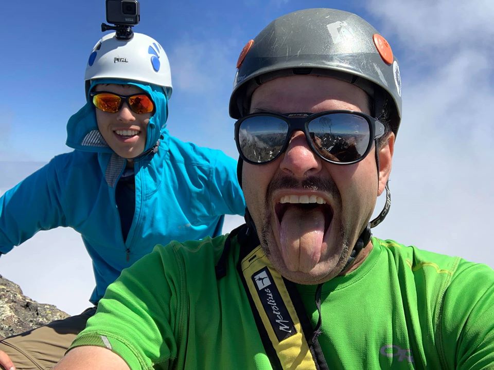
Trip: Stuart Range Traverse - SRT Trip Date: 08/10/2020 Trip Report: Should maybe be titled Stuart Range Traverse* because there's always some disclaimer in there, good style is just about doing it with as few asterisks as possible. My main asterisk is I didn't actually summit Sherpa. I'm also no Peter Croft, but based off all the TRs that are out there for this thing, none of us quite are. Anyway, I've had a weird relationship with climbing this year. There have been a lot of other things going on (perhaps an understatement in this wild year) that demand more attention. I came back from a full season deep down south feeling absolutely on top of my game, a feeling which quarantine somehow morphed into a sense of burnout, fear, overanalysis and a general loss of motivation for big objectives. I've wondered if maybe I've finally developed a frontal lobe in my brain. Seeking comfort and sticking close the ground, I've focused on running and bouldering. While the Stuart Range Traverse is neither of those things, I did feel a certain motivation to get it done before I move to Colorado (I know) for a bit, and all it really boils down to is a nice long run with some V0 highballs. Plotz told me it's kind of a slog. He was right. But I still had fun, and given enough time I might even consider doing it again, with fewer asterisks. lovely little garden below Stuart. The first bit of excitement came on the slabs below the Stuart Glacier, where I felt my pack suddenly lose a lot of weight. I turned around to see one of my two liters of water careening down towards the snowy gully where it shall spend the remainder of eternity. Somehow my pack had come unzipped, and I almost lost a lot more kit than I did. I kinda thought my plans for the traverse tumbled down into the moat along with it, as I had just passed the last water source and I couldn't bank on finding anything between the ridge and Argonaut. But I still had one liter infused with electrolyte-whatever, and I could bail at Sherpa Pass if I had to. Not much to be said about the North Ridge of Stuart, other than the fact it's phenomenal. I had never climbed it, or Stuart for that matter, until yesterday. It was worth the wait. Was on route for about 2 hours. stuart summit selfie. that's what everyone likes about TRs, right? selfies? As soon as I was on the south side of the crest the wind was gone and it was hot. I was really worried about running out of water. I also made the classic rookie mistake and got suckered down the wrong gully (not ulrich's) while searching for water. I did find some, but also found myself well below Sherpa. I had already had a few routefinding snafus early on and was a couple hours behind schedule, doing the math I figured if I tagged Sherpa's summit I'd most likely bail at the pass - which turned into a cost-benefit analysis of what I valued more, another summit or a more solid chance at the traverse? I chose the traverse. There was an excellent ledge system below Sherpa, complete with a goat highway, that got me to Sherpa Pass quickly. If it wasn't chest deep in the boonies, the south-facing slopes between Sherpa and Argo would host excellent cragging - I spied numerous perfect cracks and checkerboard patina reminiscent of Red Rock's Brownstone Wall, all on perfect red granite. And if you keep your eyes and ears open, water can be found in small springs that quickly dive underground. Overall, I didn't think this section was as bad as people say. I mostly stayed just barely below the ridge crest. I stayed hydrated, stayed psyched, and speaking of sweet crags, soon found myself at the base of the S Face of Argo. choose your own adventure! knobs and splitters galore! s face of argo from the right margin. This was also my first time on Argonaut's summit, which was quite nice. Great view, and fun, easy climbing. I had brought a skinny half rope to use as a rap line if I needed it - not totally necessary in hindsight, but I was glad to have brought it as it did give me a little nicer sense of security, which like I said, I haven't really had that feeling of security with climbing lately. Well, turns out that shiny new half rope came all this way just to be put under the knife on some short rappel I ended up soloing up and down anyway. Getting it stuck on the rap pull was a result of my own negligence and it cost me a lot of time - so if you're trying to descend into Argo's east gully and find a well-used rap station above a splitter looking dihedral, just downclimb. There's maybe one section of 5.6 to get you down to a big ledge. As you jam the perfect hand crack (seriously, why didn't I just downclimb this from the get go), take a moment to admire the remains of about 3 or 4 different ropes stuck deep inside. Mine's one of them. Hooray! But ultimately, I can't really blame myself for taking an extra precaution when I was already tired and clumsy. From there, it's loose third and fourth class down the east gully. man, I wish I had a better phone camera. Once at the shelf between Argo and Colchuck, I put the headphones in and motored up and over Colchuck and Dragontail, arriving at Aasgard in the dark. Pop Tarts and Prince carried me to the finish. 22.5 hrs C2C. Gear Notes: an extra liter of water so you can jettison the first one into the void Approach Notes: there is one, yes.2 points
-
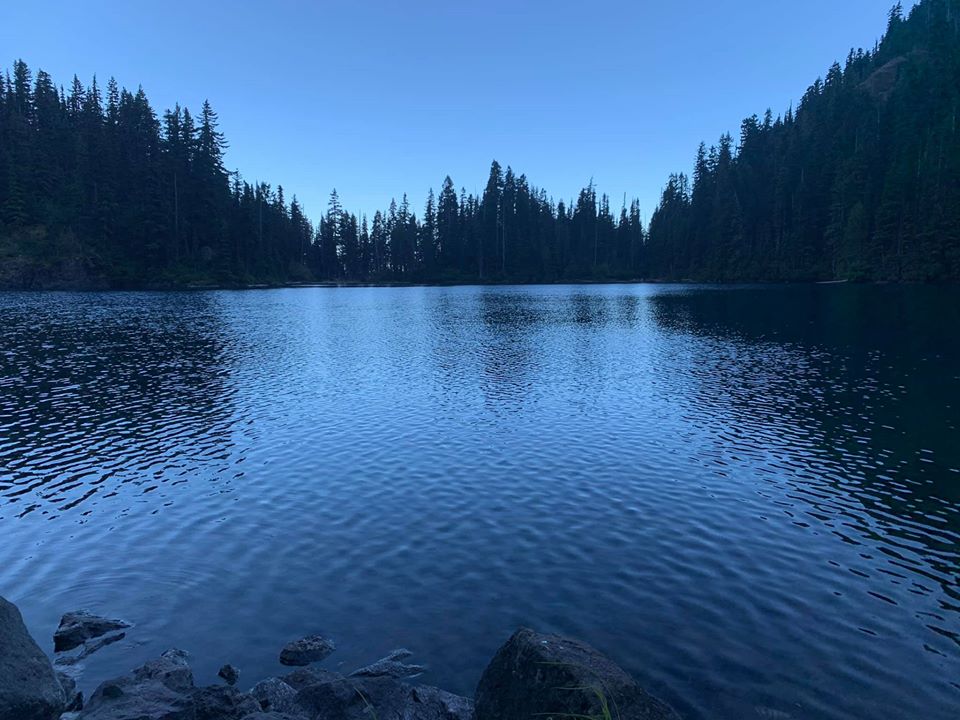
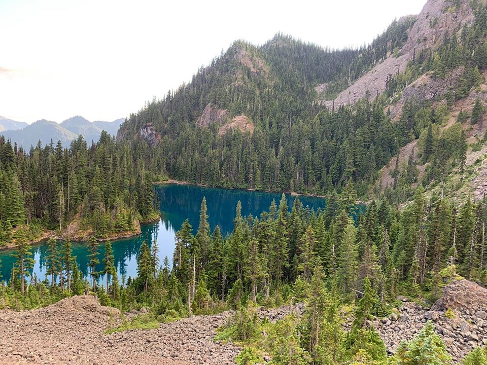
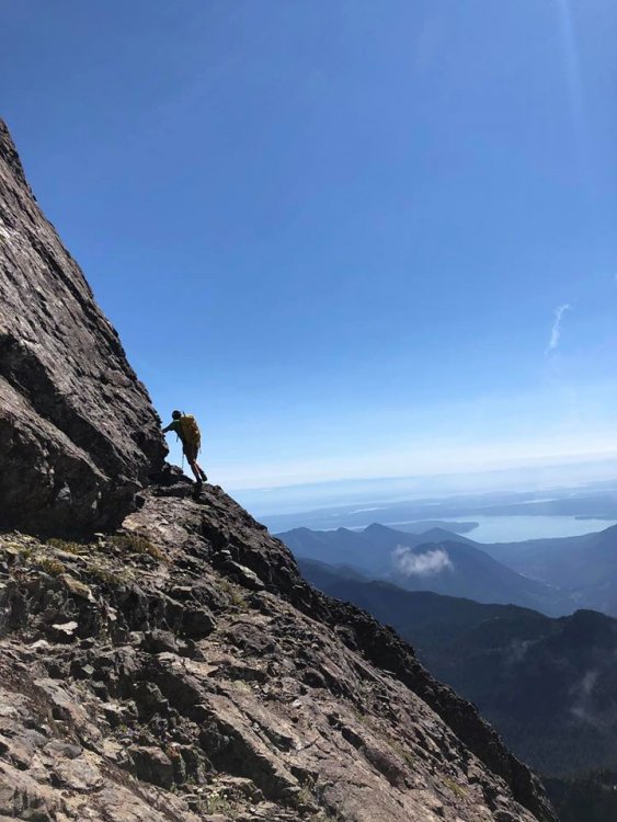
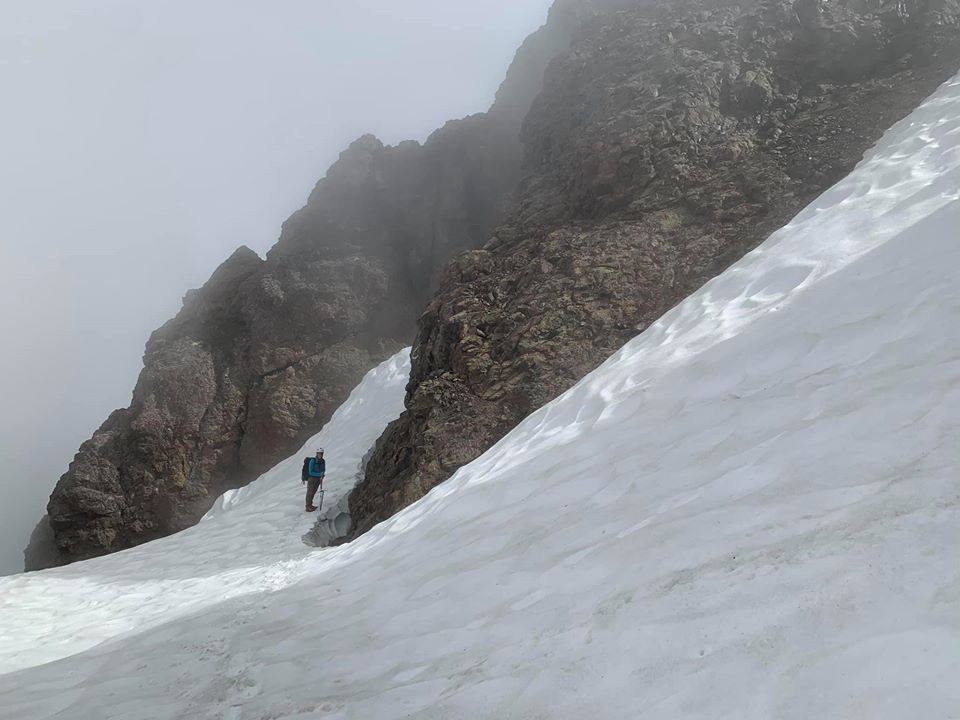
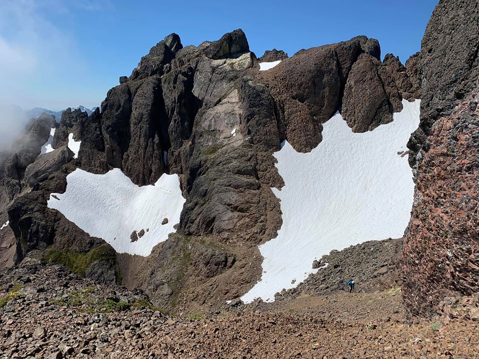
Trip: Constance - South Chute Trip Date: 08/10/2020 Trip Report: With a weird forecast this week my son and I decided to convert our planned five-day trip to the North Cascades to a more modest 2-3 day summit of Constance. We headed over to the peninsula moderately early Sunday morning, arriving at a full road-end parking area with cars backed up the street for maybe 1/4 mile. We found a recently vacated gap for our truck, unloaded the bikes and headed up. Just over an hour later we arrived at the TH, did a gear adjustment and started uphill. We were amused by the signage warning that the trail is not just a "hike", and by the party of three that started up it only to bail within 5 minutes. We then powered through the worst part (the bottom) only to see that around 4000' it got stiff again. We arrived at camp after 4 hours or so, a bit hot and tired. We had plenty of time to wade in the lake, and enjoy the lack of insects. Most people were gone already except one guy floating on the lake fishing (catch and release) Lake Constance after sunset: The next day we were up at 4:15 and headed up Avalanche Canyon. There is almost no snow whatsover left there so we suffered through the tedious boulder hopping followed by endless scree up the S chute, down its other side, and up to the notch crossing the E-W trending spur ridge. All scree and no snow makes the S chute a dull boy: On the far side of the notch there was still a snow patch melted back from each rock wall, and we walked along the one skier's left until it got too moated out, then got onto the snow (now flat with no bad runout), crossed it to rock, and worked our way to the finger traverse. Once there we opted for the bypass on the way in, planning the FT if time and will-power cooperated on the way out. Moat shenanigans (taken on return to camp): The FT bypass After the bypass we scratched our heads a bit about what to do. A really nasty gully led down and we didn't like it, so we traversed a bit, then found a still unsavory, but slightly better gully down to snow, crossed it and then started up the ledge system towards the summit block. The next talus field was also devoid of snow, but not too tedious. Then we were on the summit block and doing a corkscrew to get to the N side of the summit block. View back to the Terrible Traverse and FT: Working the cool ledges on this climb: The final moves seemed a bit high end to solo for my taste. After looking at a few options, I pulled out the rope to lead it. But I ended up just placing one piece maybe 8 feet off the ledge, then topping out. There was a new summit register dated 7/4/20 with a new rap anchor, but the webbing was shredded and we ended up carrying it down, putting new slings in (which may get devoured by rodents over the next days or weeks as well). Olympic Mountain p0rn: Another Smoot in the books! One short rap led us back to regular scramble terrain and we began retracing our steps down. At this point the fog rolled in. We could see enough to get back to finger traverse. Due to the time we spent getting to the summit, including getting gear out already for a short lead and rappel, we opted to just climb the bypass (super chill) then continued to the col on the E-W trending ridge. The skies cleared for us here and we enjoyed some serious scree-surfing down to the basin below the S chute, topped the col, then did more scree-surfing into Avalanche Canyon. Then and there the fun ended and we proceeded to tedious boulder hopping back to camp. Arriving at 7:15 we decided to stay the 2nd night we had reserved on the permit, and hiked out early Tuesday morning. The steep Lake Constance trail went by quickly thanks to fresh legs and Iron Maiden. And the bike ride was a pure pleasure (about 30 min of coasting). Retun to lake: Gear Notes: Ice axe, helmet, 40m rope, small rack Approach Notes: Talus, scree, more scree1 point


