Leaderboard
Popular Content
Showing content with the highest reputation on 09/25/22 in all areas
-
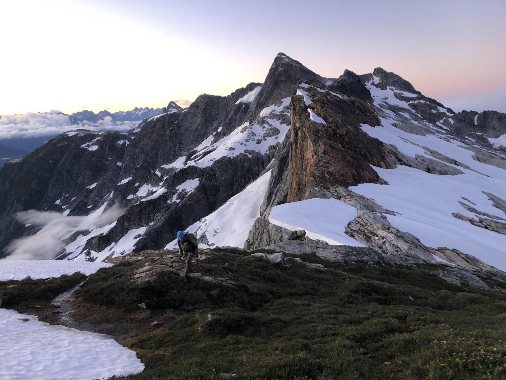
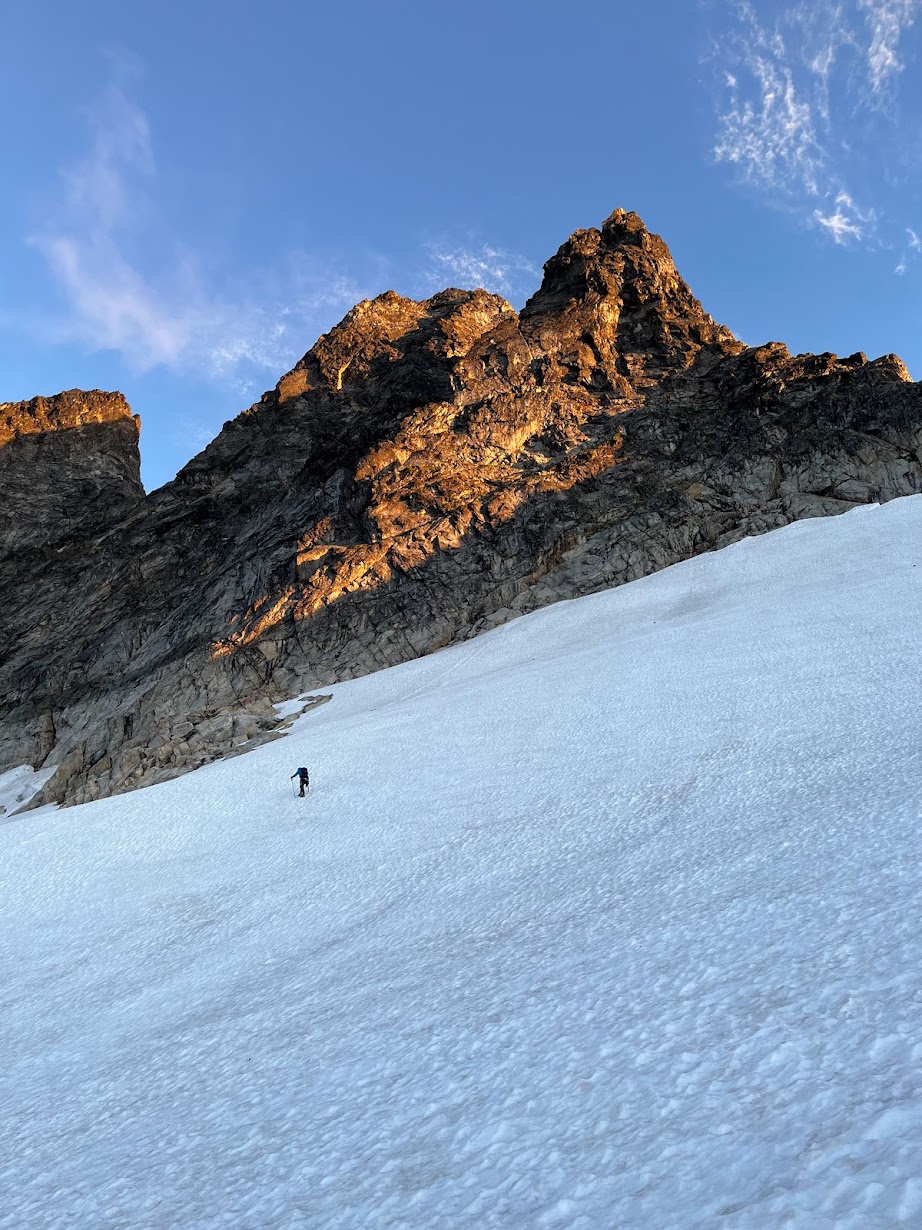
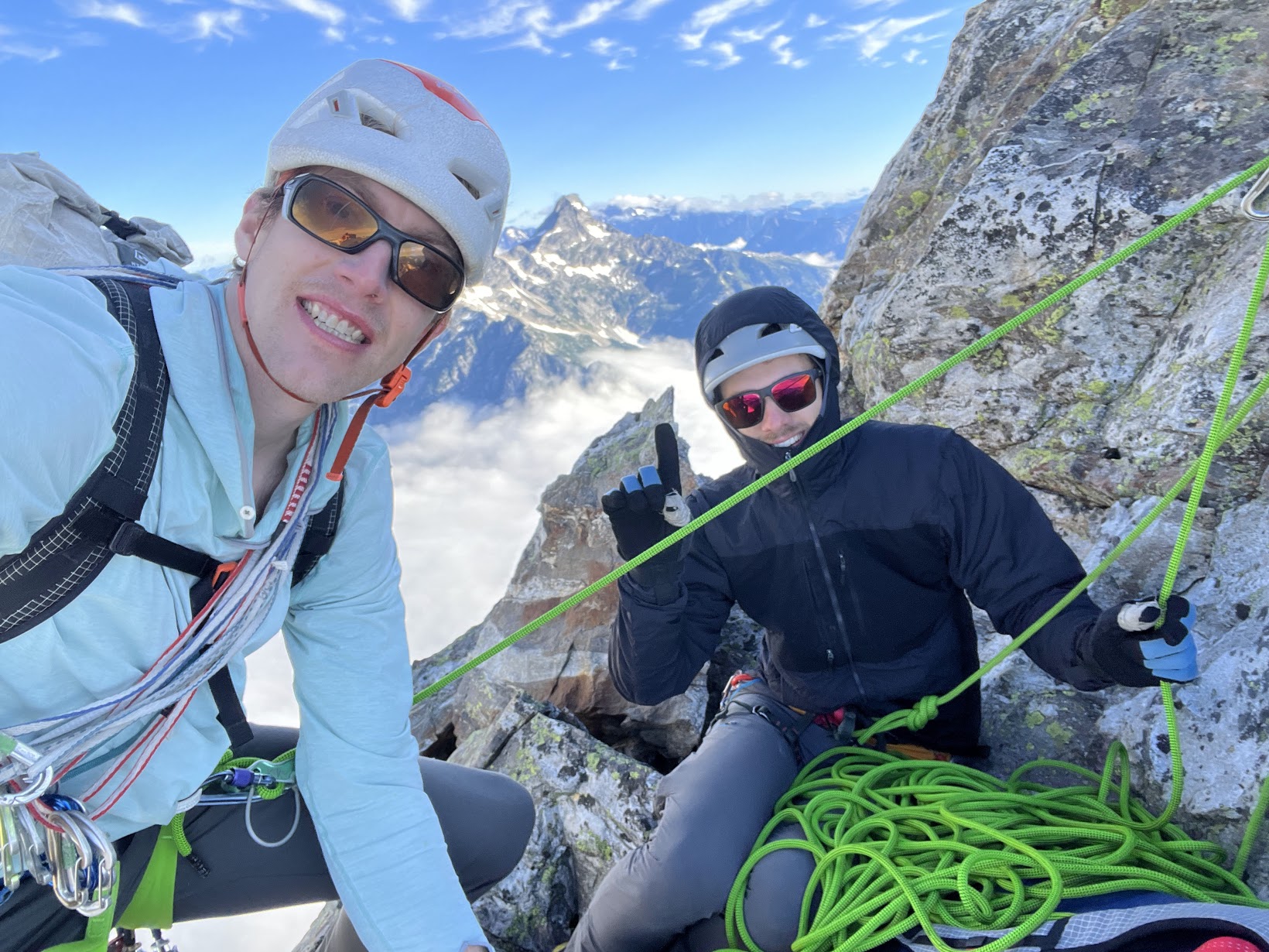
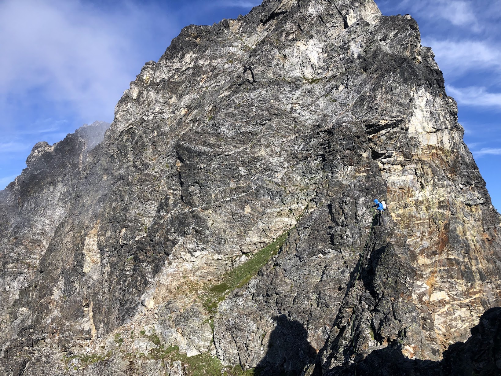
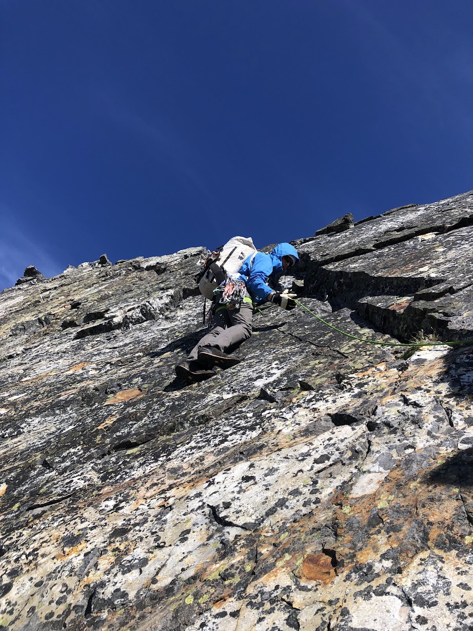
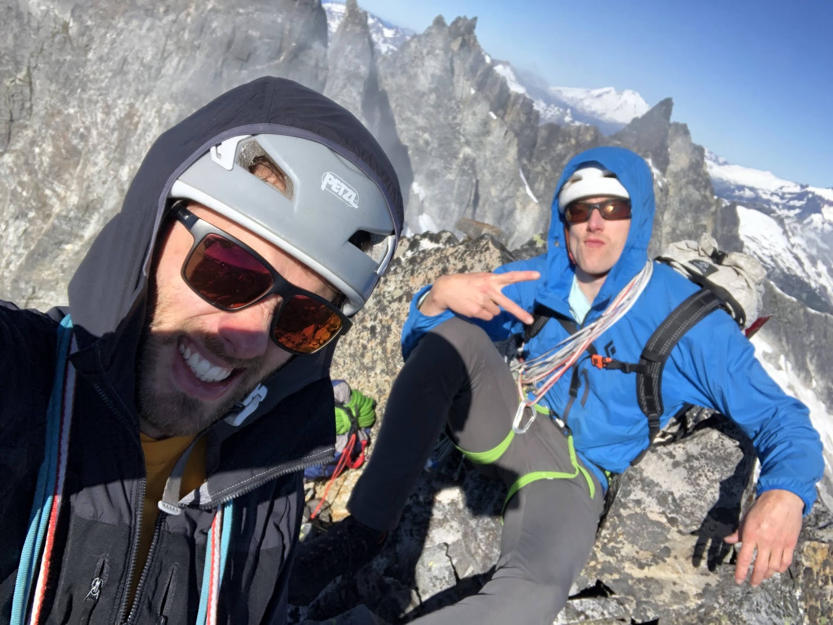
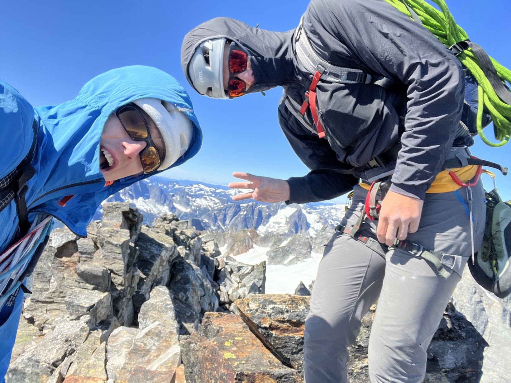
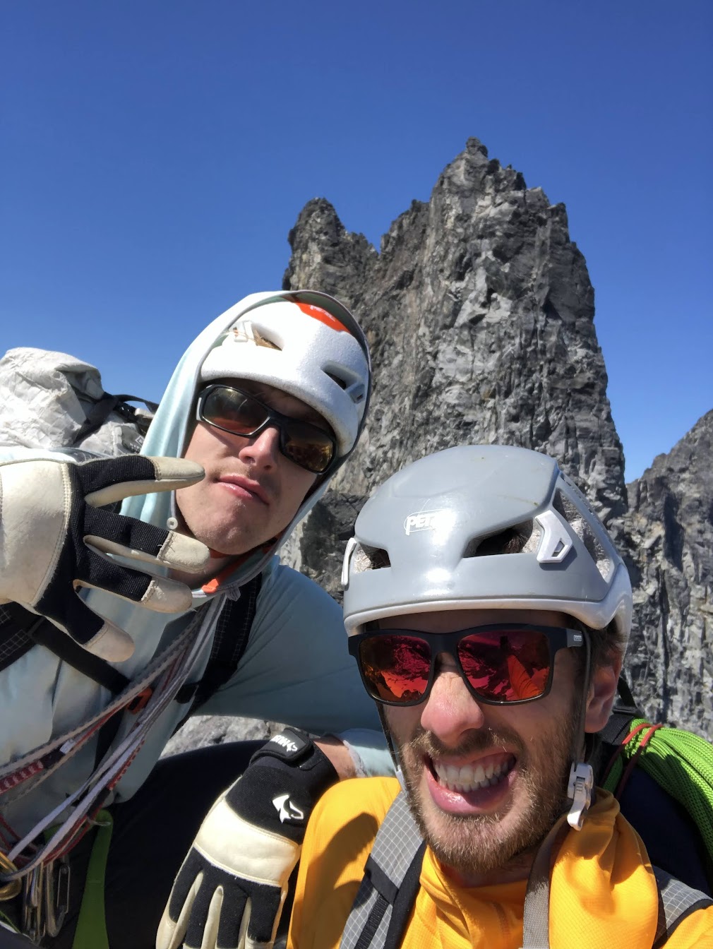
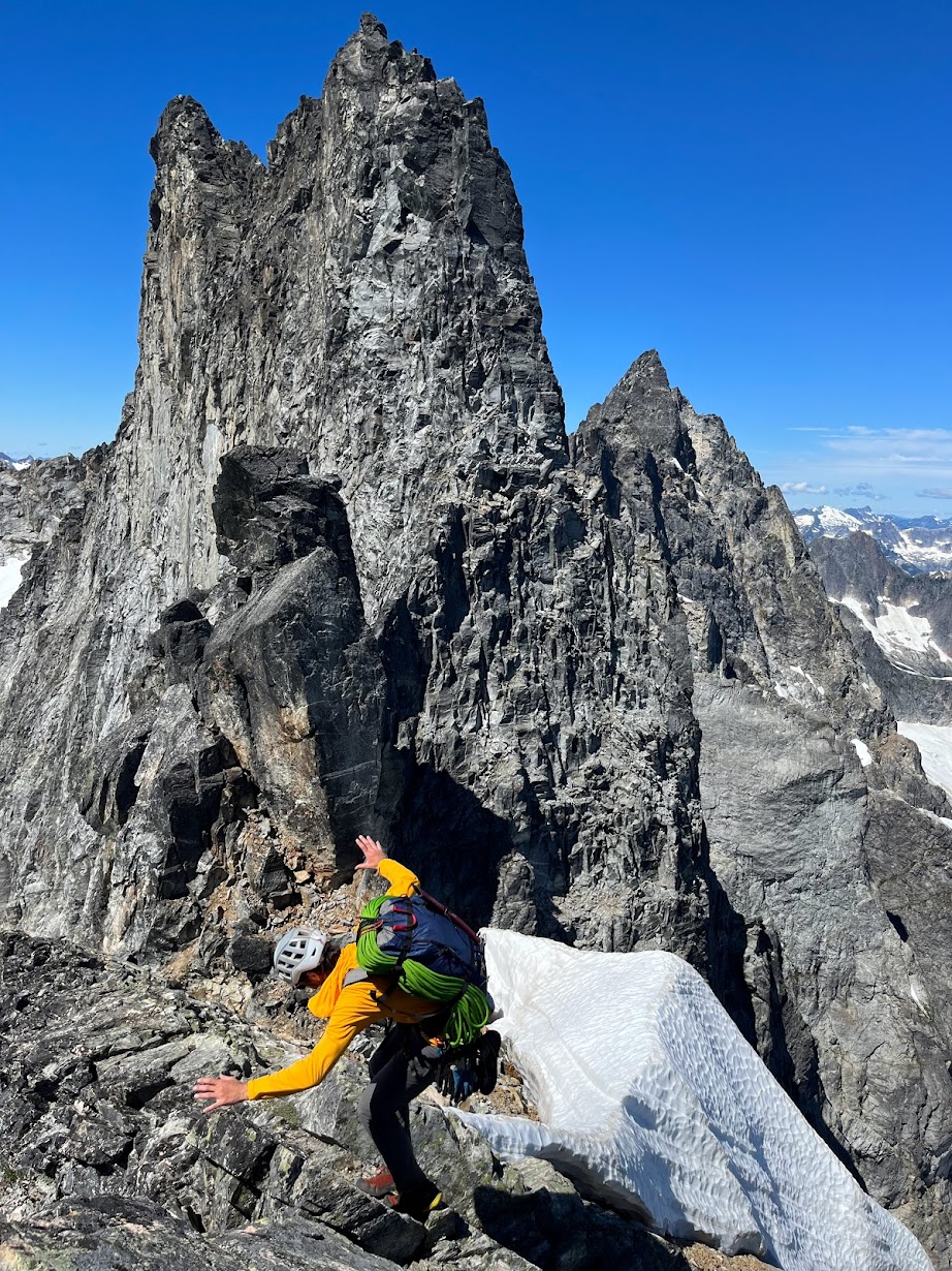
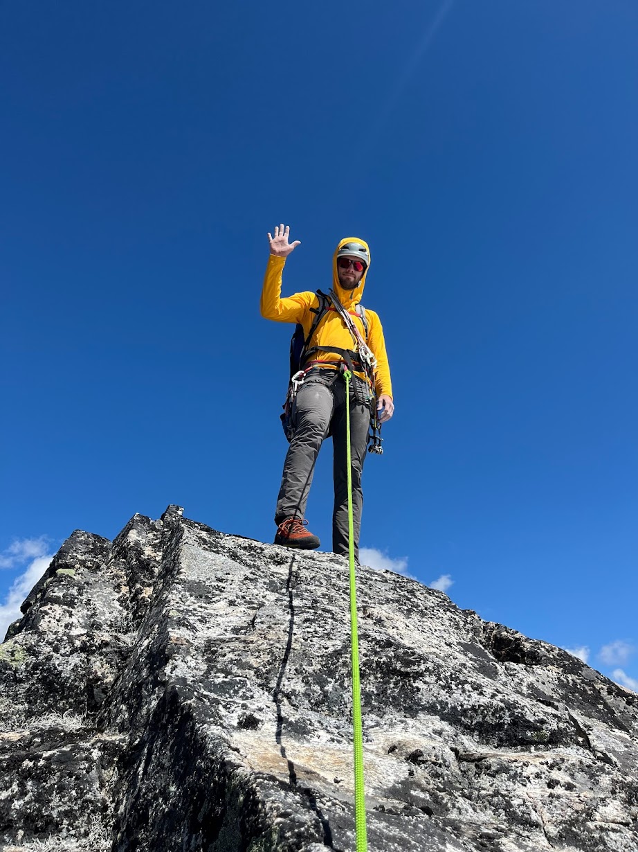
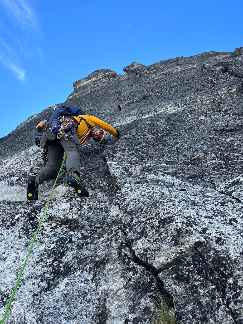
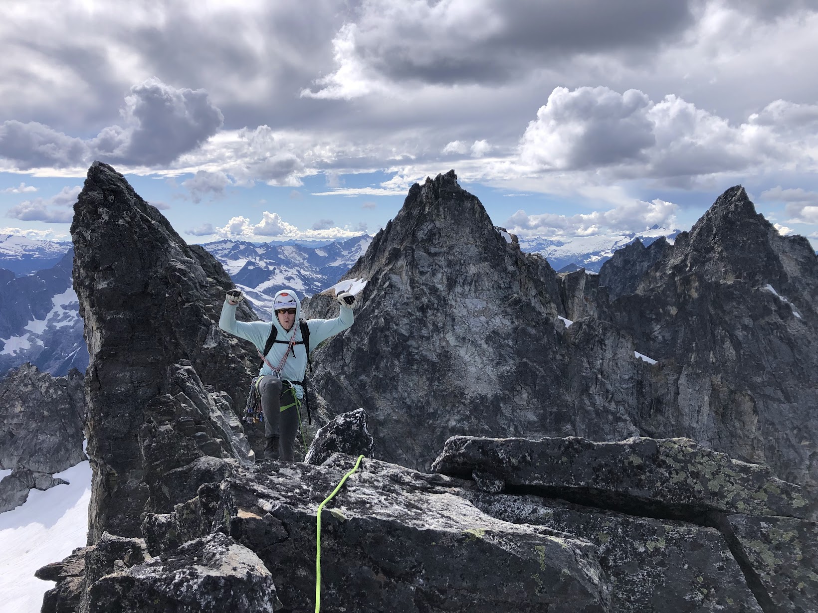
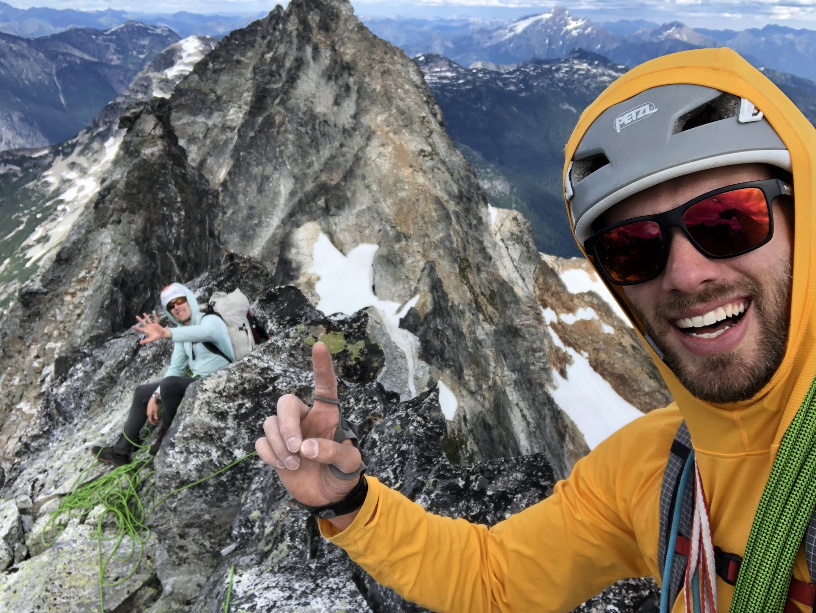
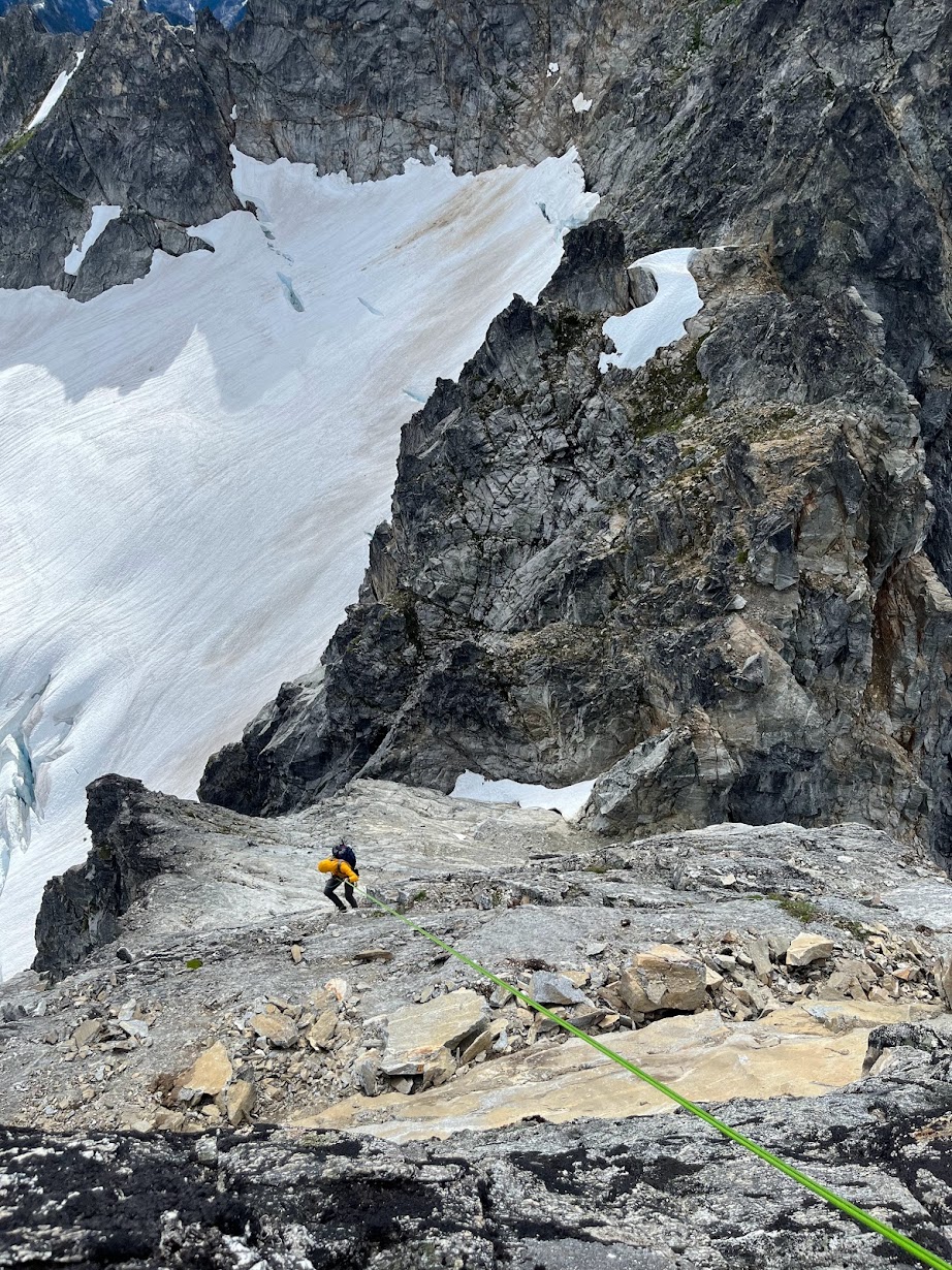
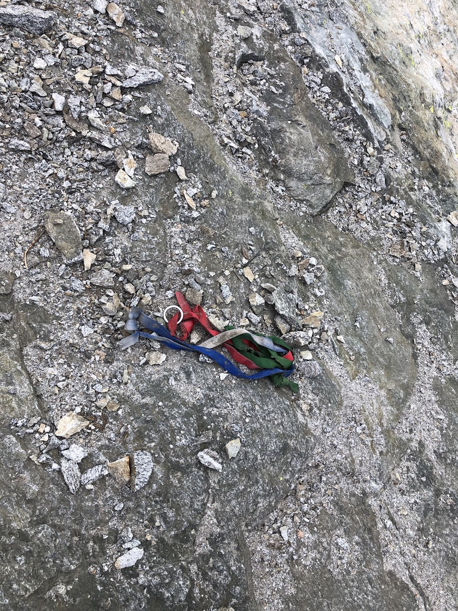
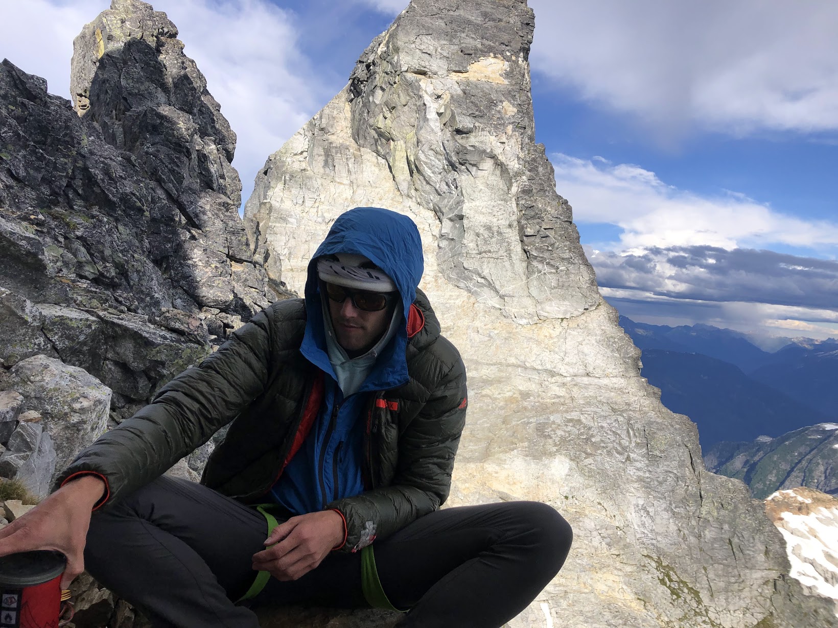
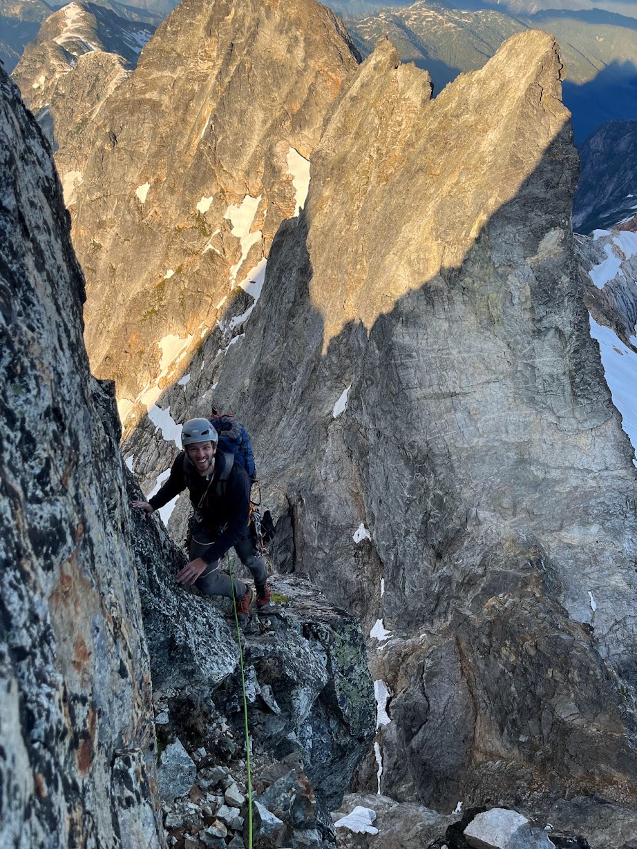
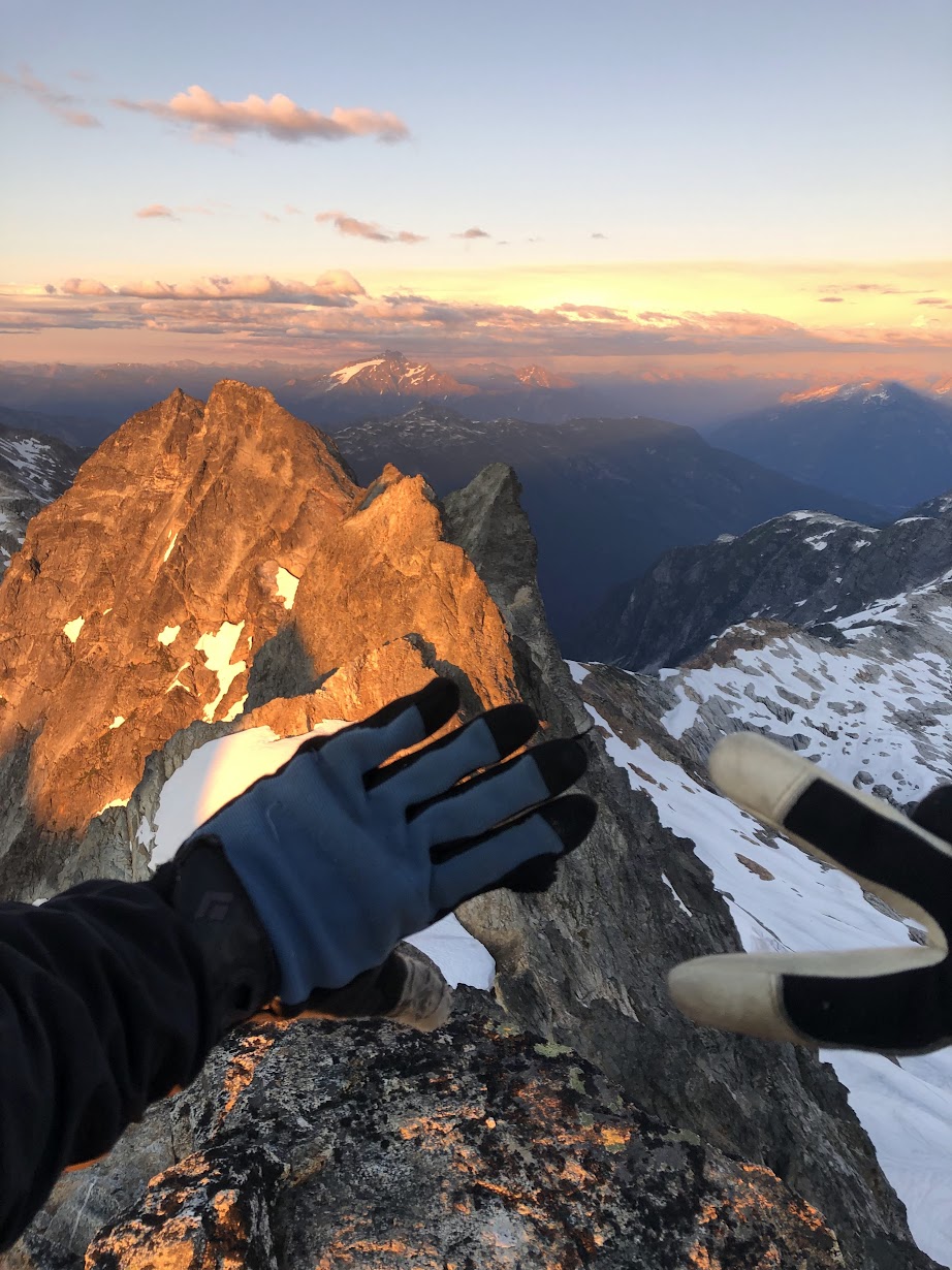
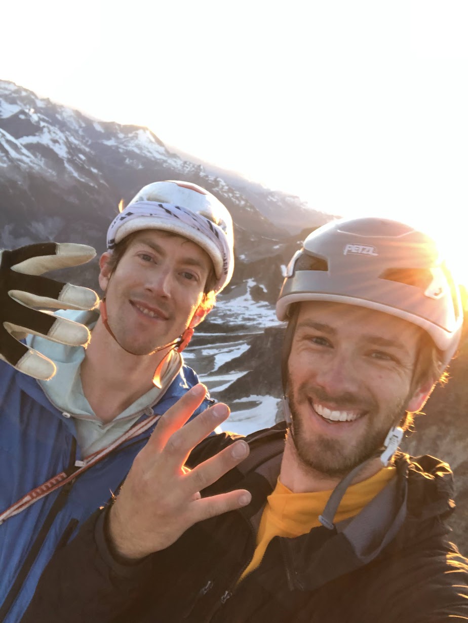
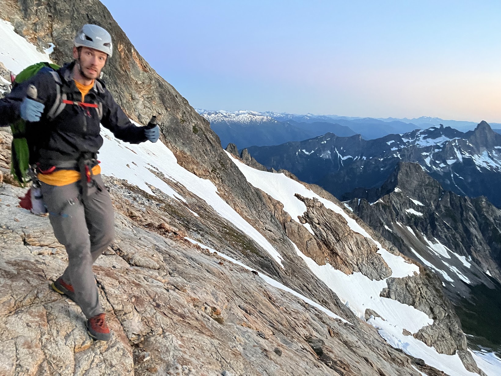
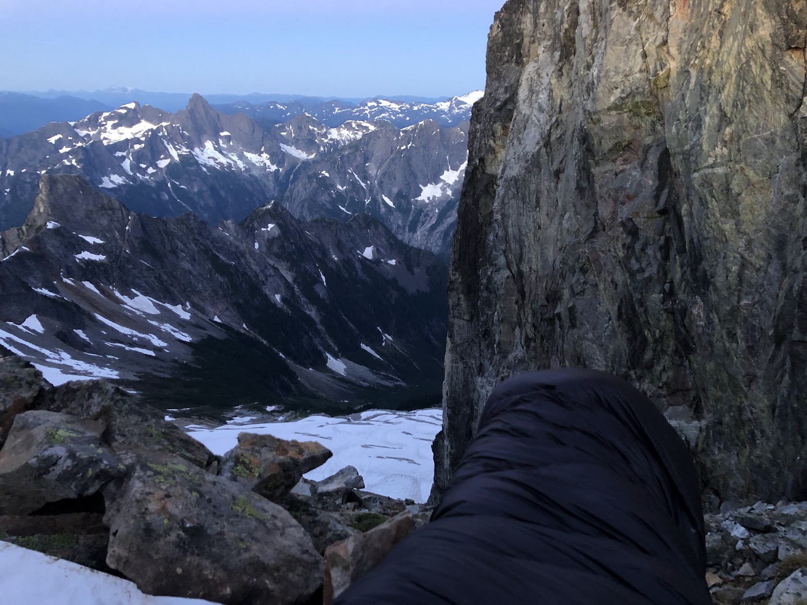
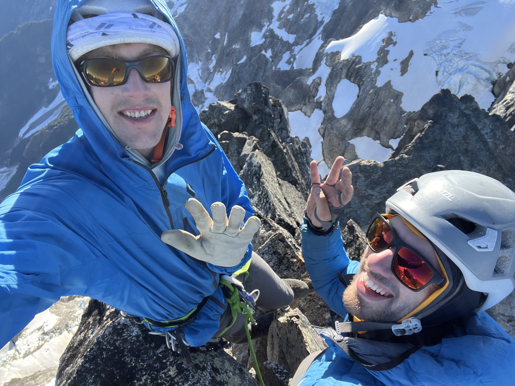
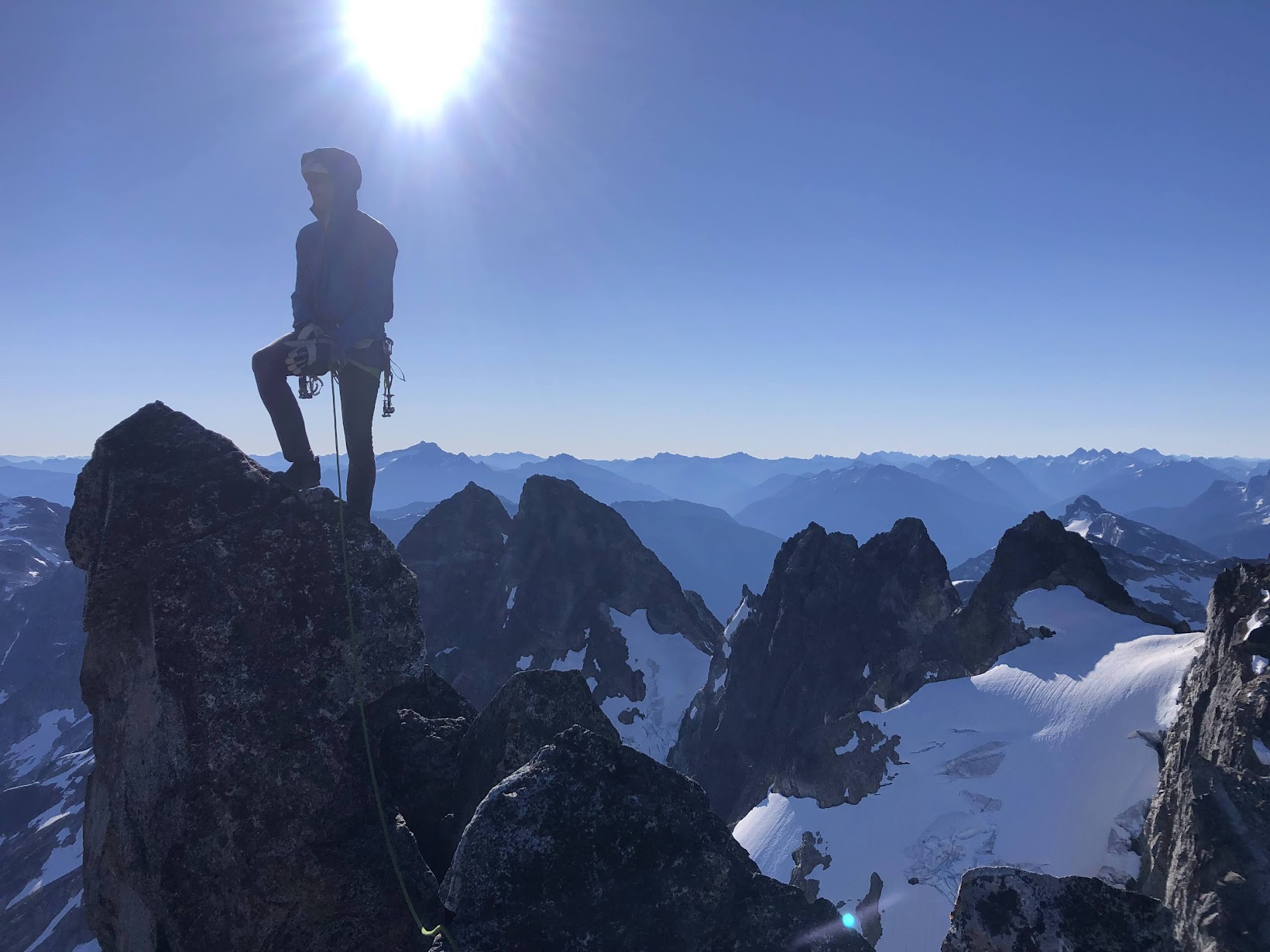
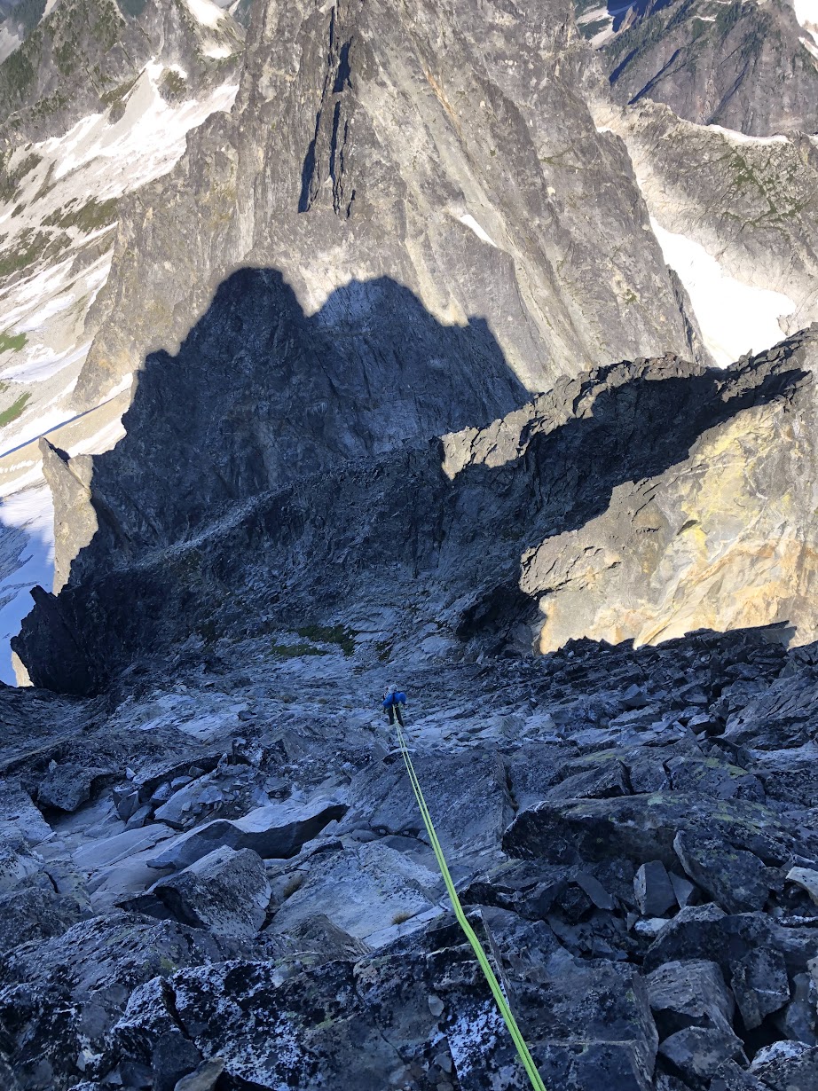
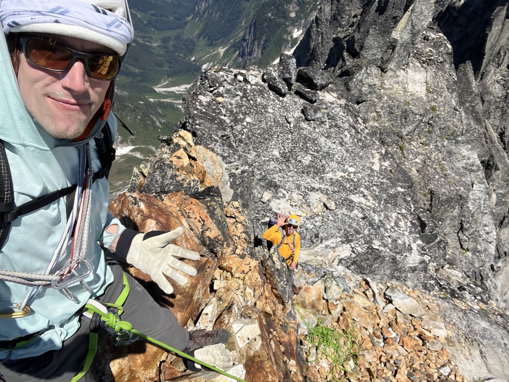
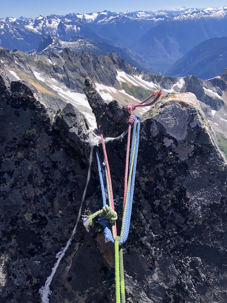
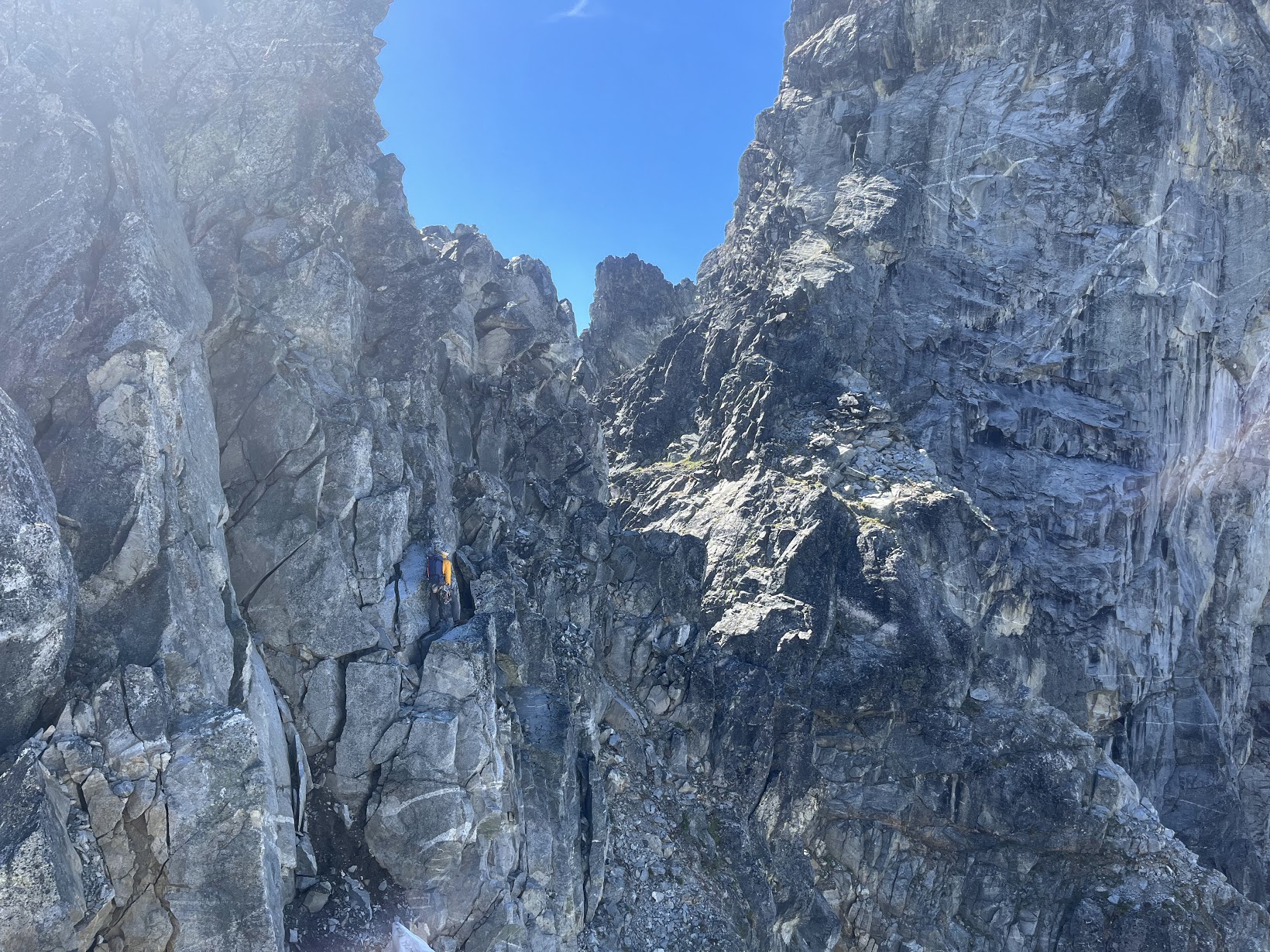
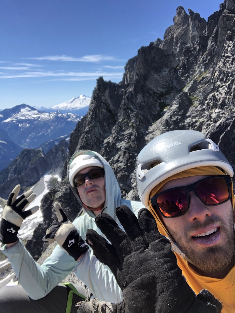
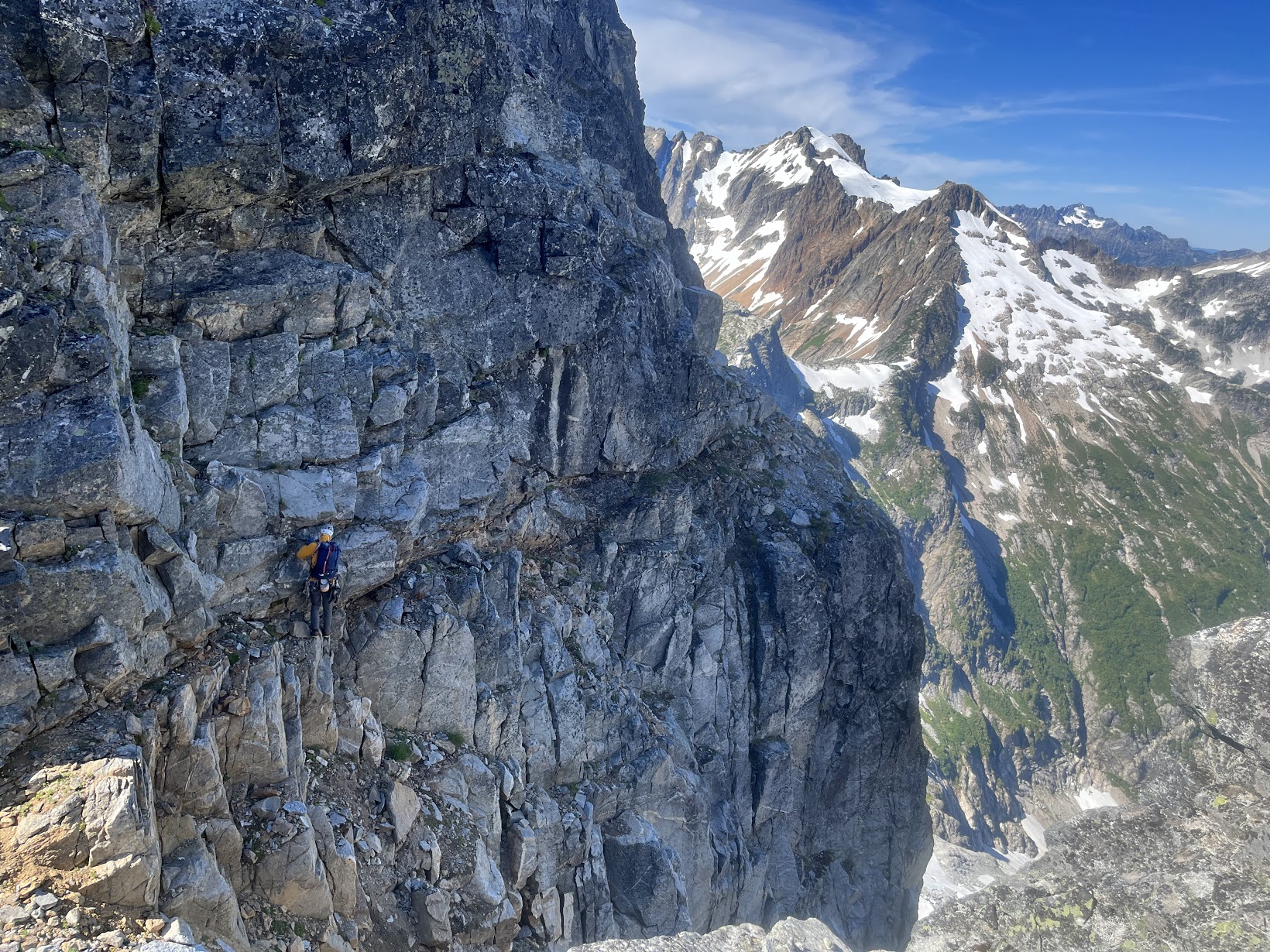
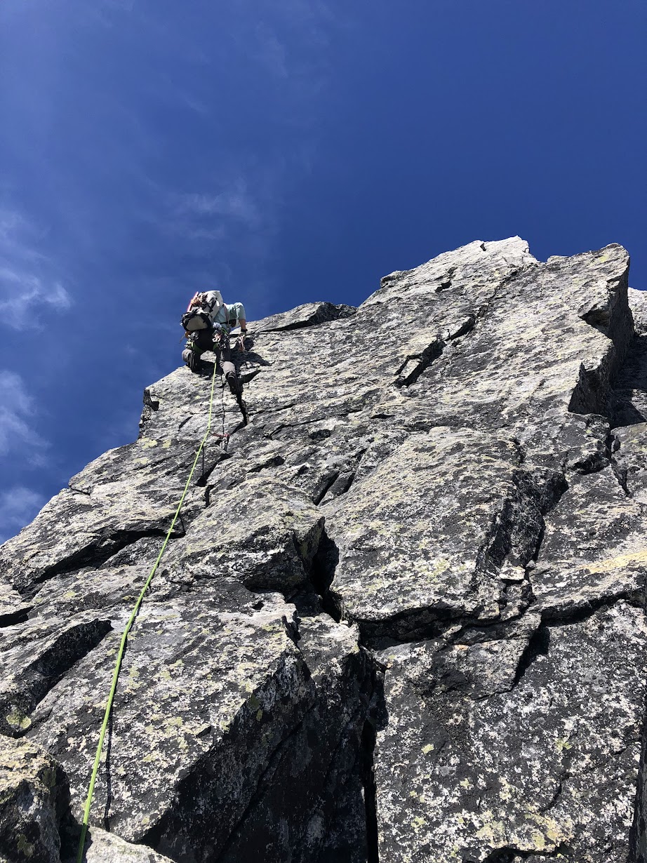
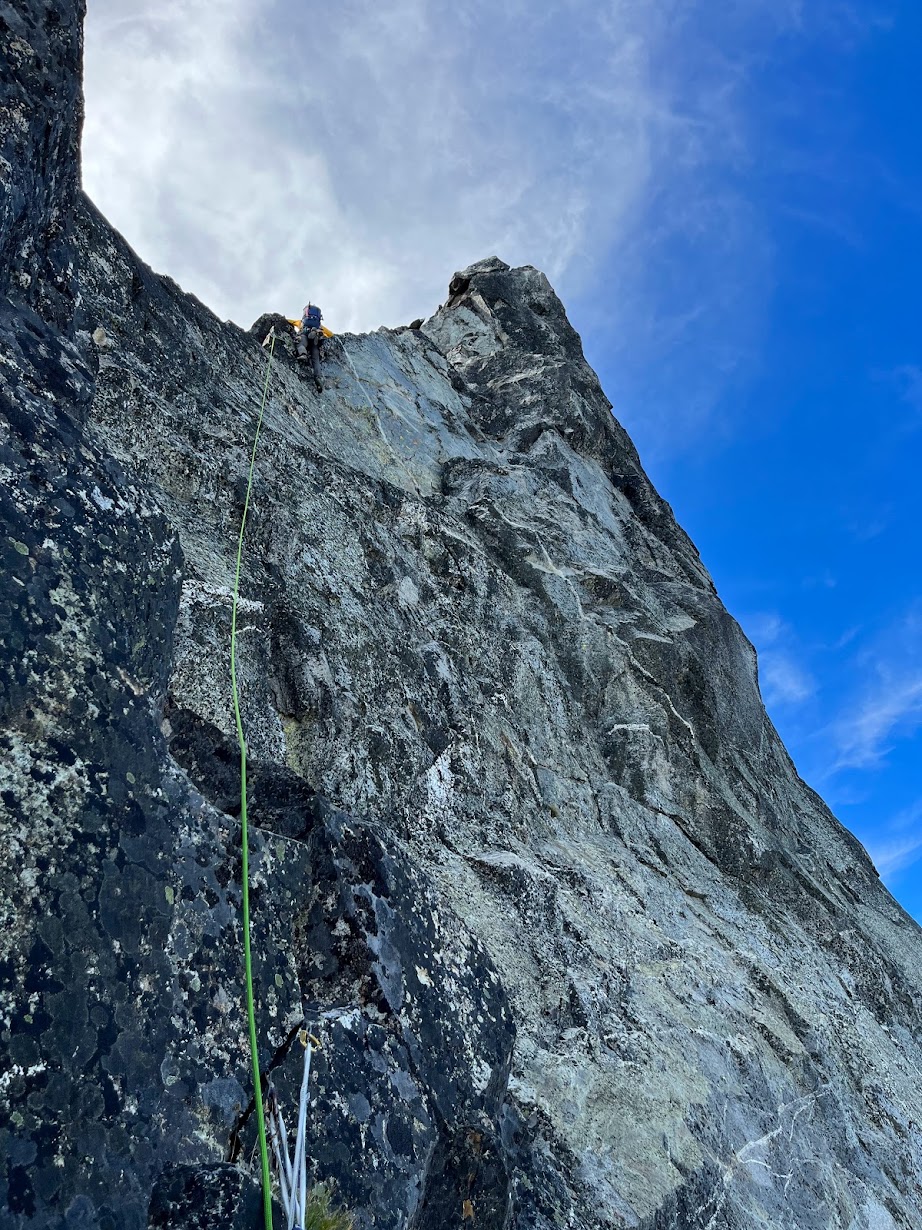
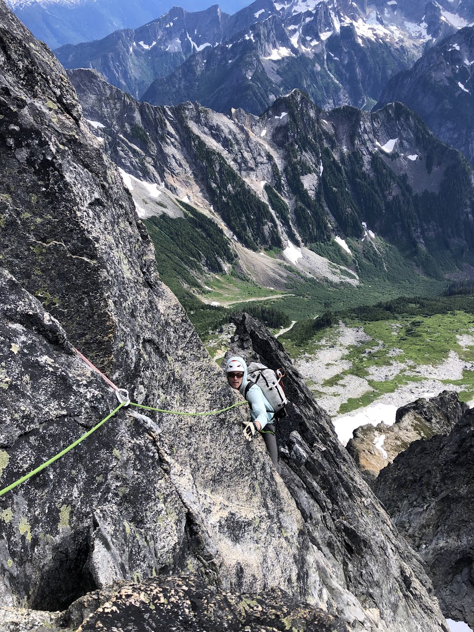
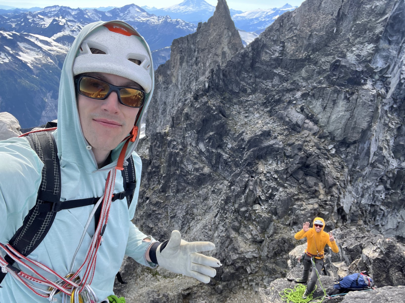
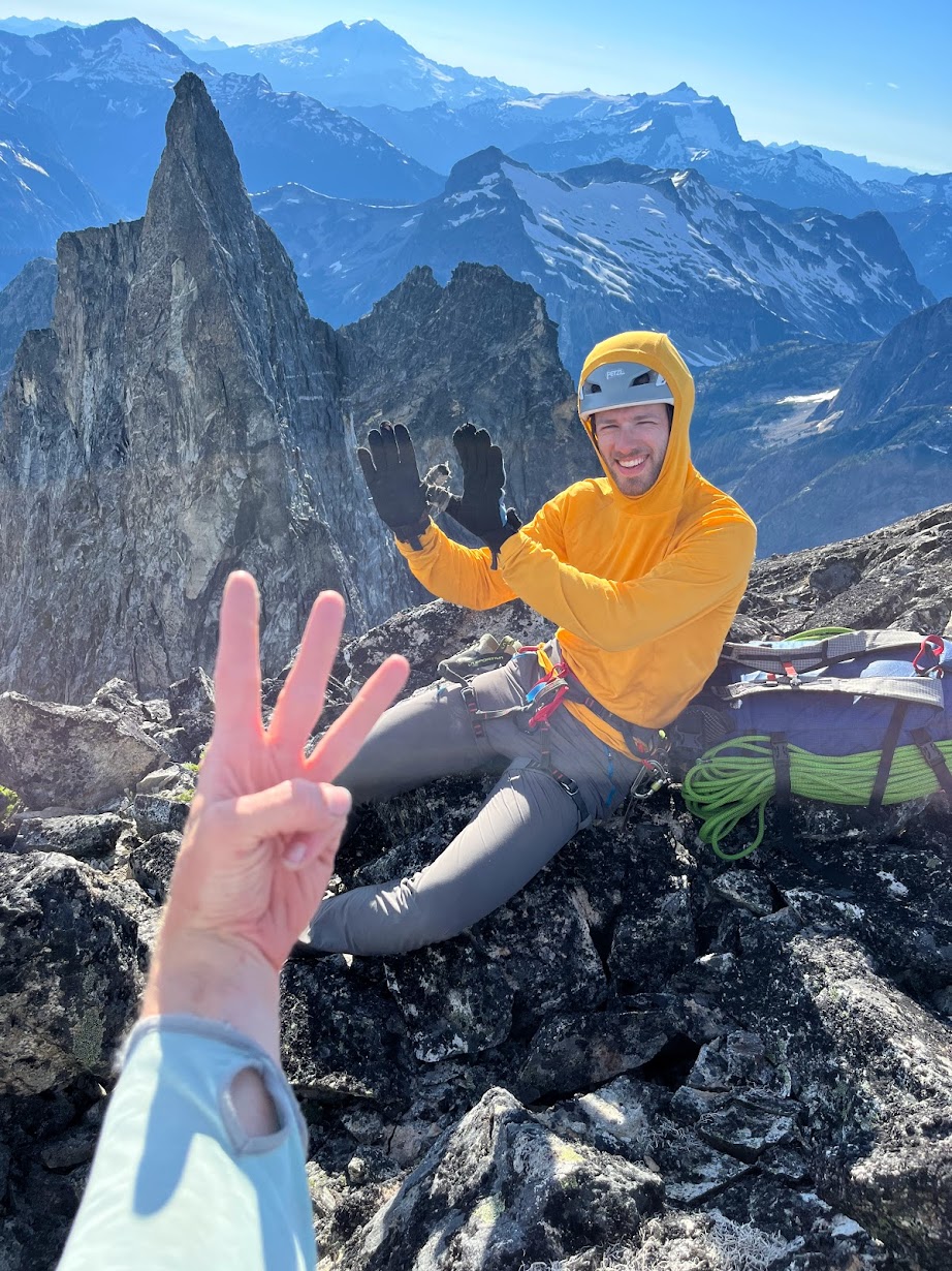
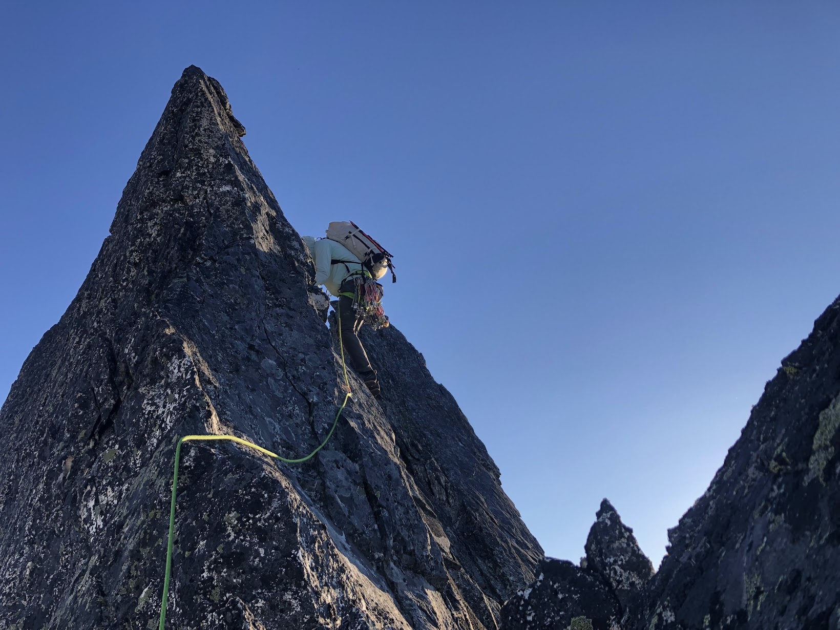
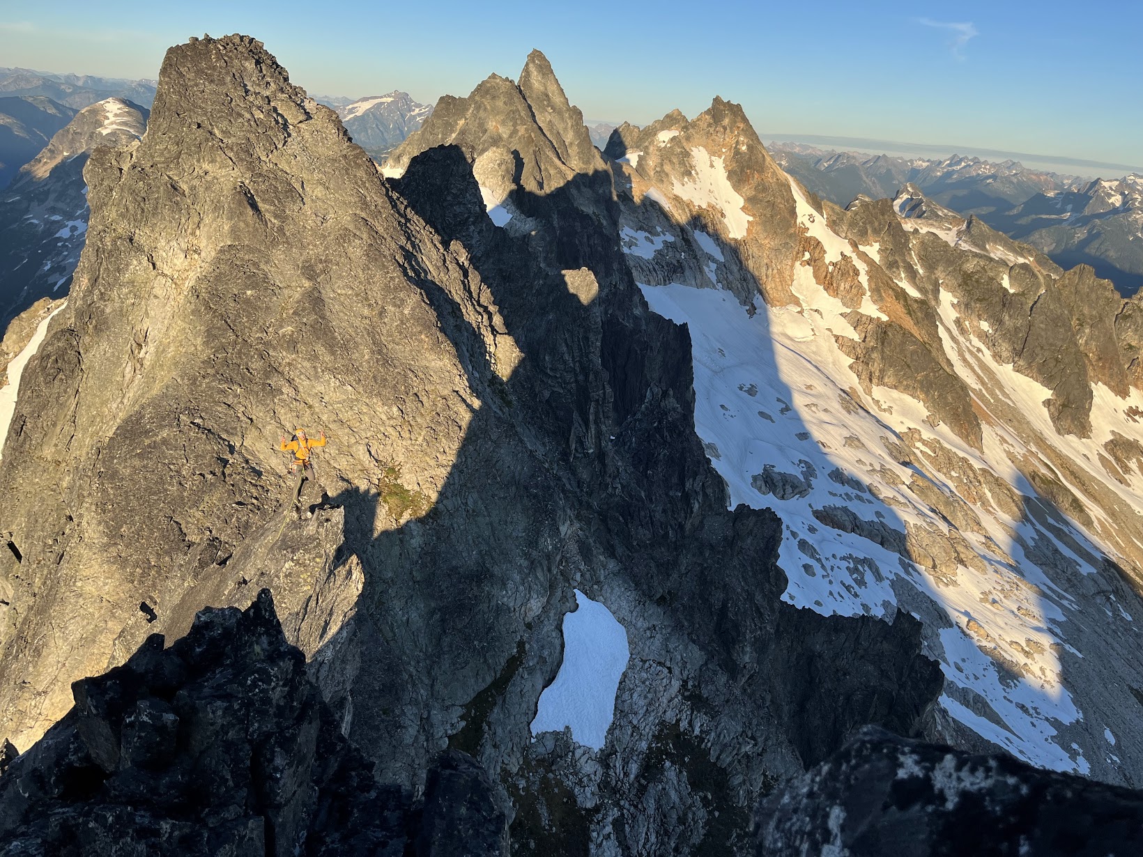
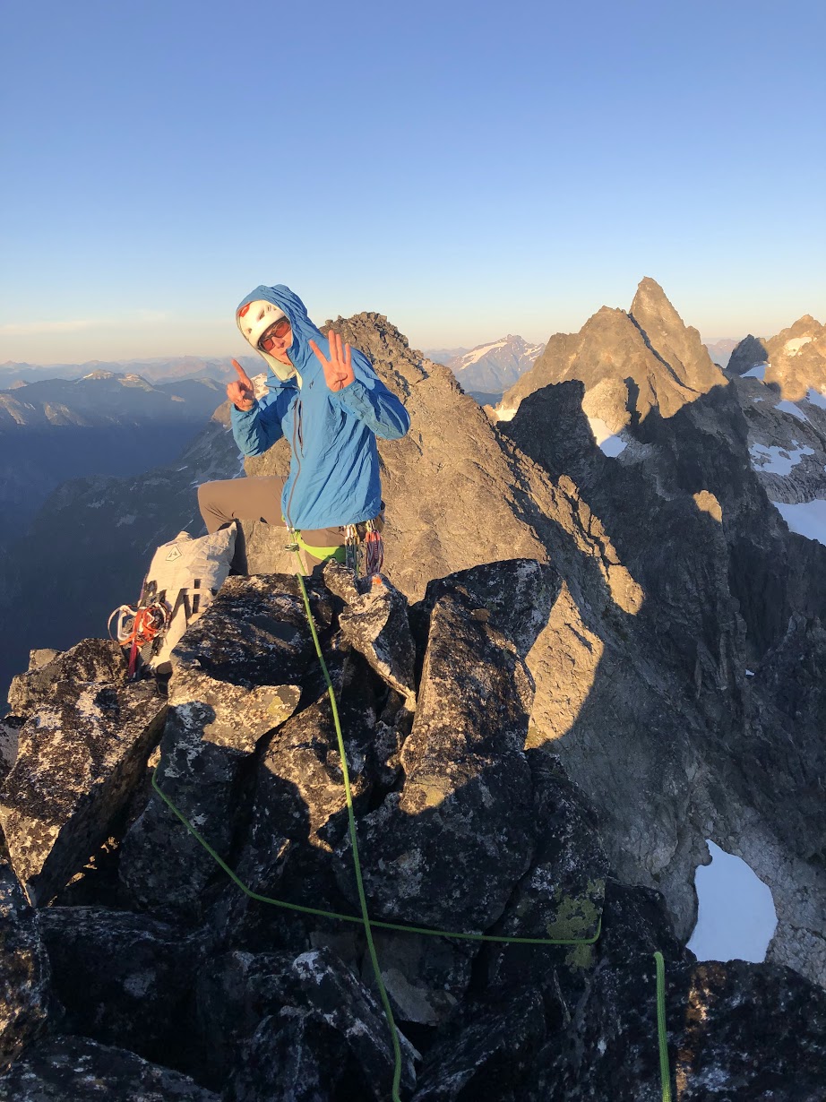
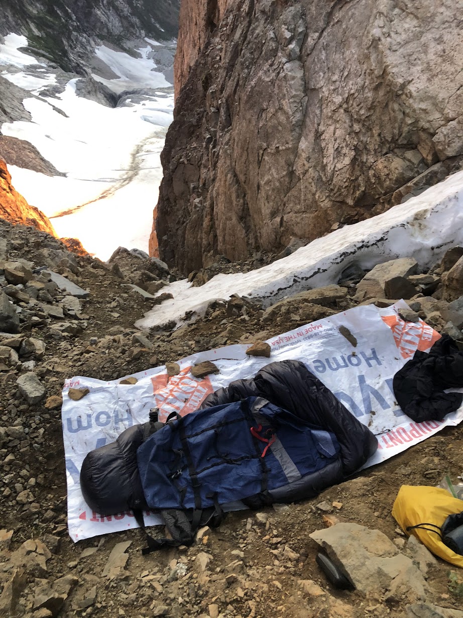
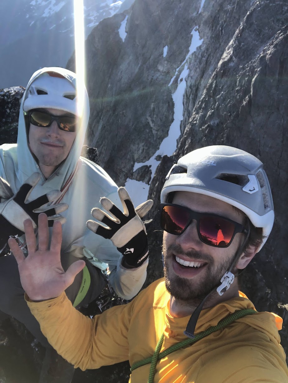
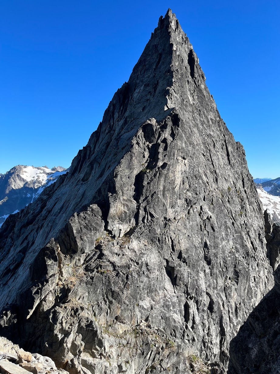
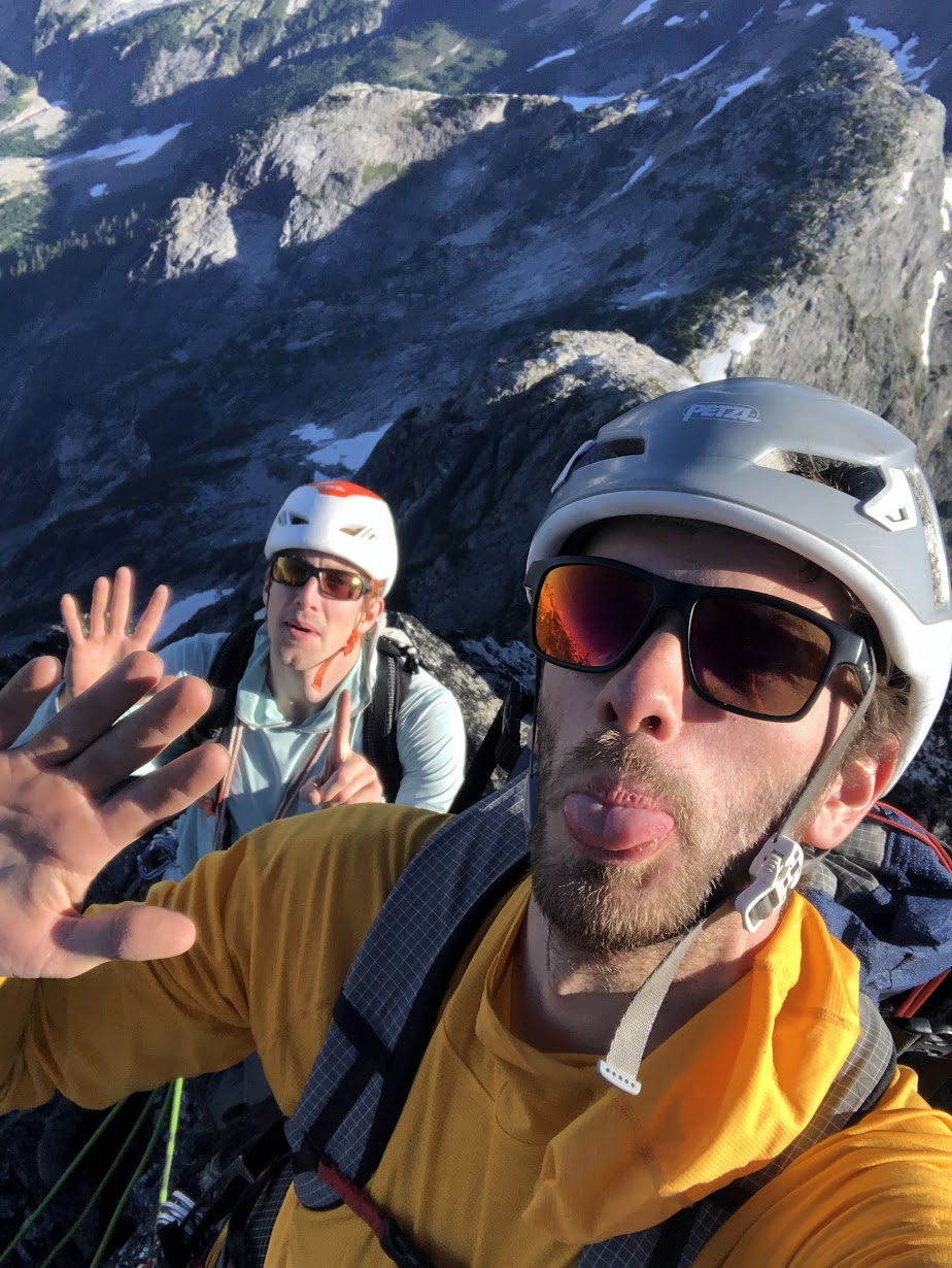
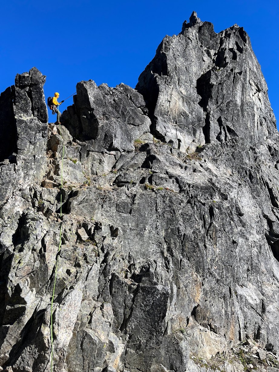
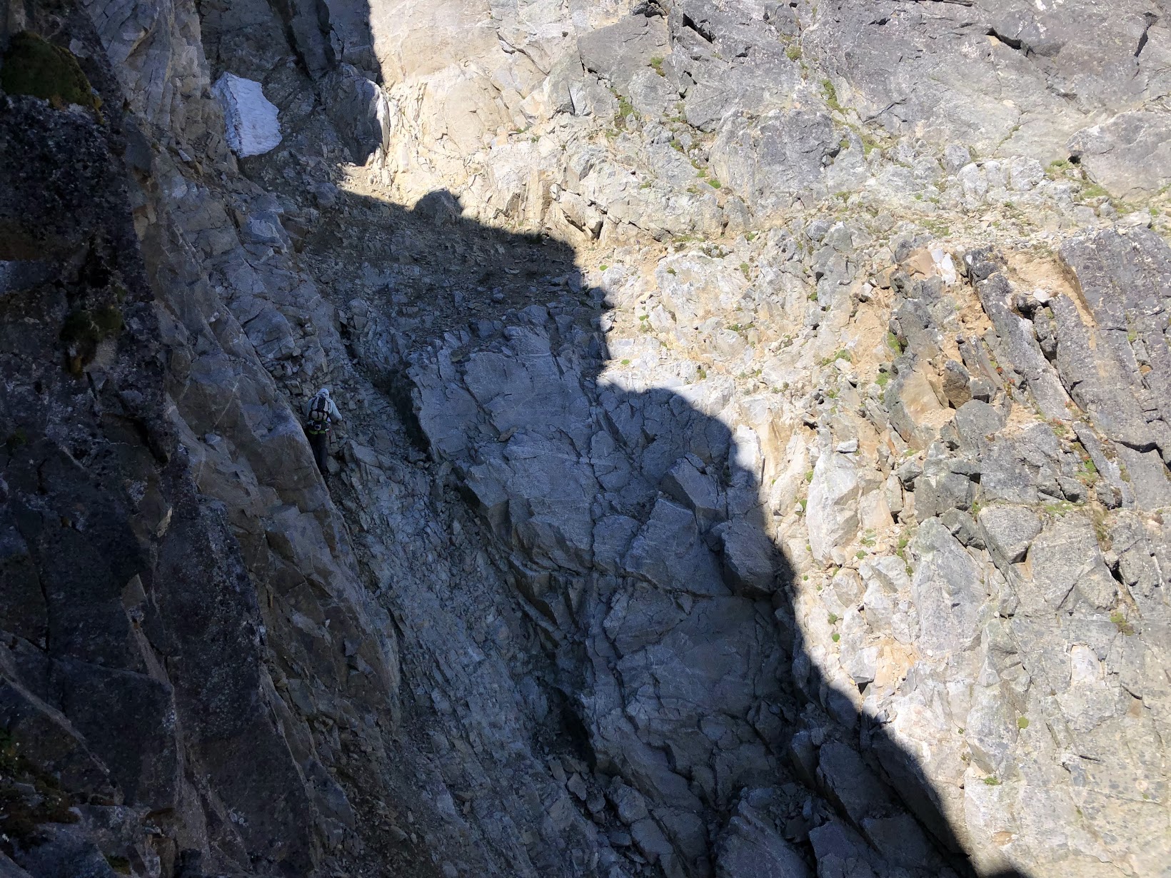
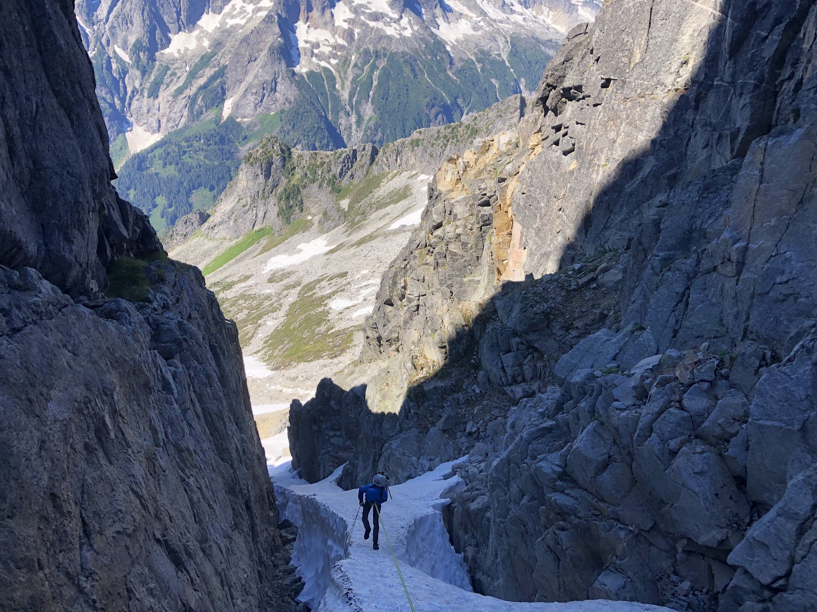
Trip: Picket Range - Southern Pickets Enchainment Trip Date: 8/4-7/2022 Trip Report: It's Pickets season folks! Kurt and I were supposed to be in the Bugaboos last week, but unstable weather encouraged us to stay local and sample a little bit of what the Pickets have to offer. Between weather and work on Monday, we had a pretty tight schedule that was surely going to be a challenge. On Thursday we slept in and got a casual start. AM rain was forecasted, and "all" we had to do was hike in to the base of little Mac spire. As we drove north, the rain poured down. By the time we reached the trailhead there was blue sky poking through, but all the brush was thoroughly soaked. The hike up went on for an eternity, and I was beginning to understand why the Pickets see so little traffic. By the time we made it to the alpine, we were drenched from head to toe, and the cold wind made for some rather uncomfortable slogging up to camp. Thankfully by the time we arrived, we were mostly dried out apart from our feet, which wouldn't fully dry out for another day. Day 2: Little Mac, East Mac, West Mac, Tower 1, Tower 5, Inspiration, Pyramid, Degenhardt. A cold and windy night brought us to a cold and windy morning, but the clouds had finally cleared and we could see our first peak. The brush and soil on little mac was still wet from the day before which made for some pretty unnerving scrambling up the first half of the mountain, but once the sun hit things began to dry out. Little Mac and East Mac went pretty smoothly with mostly scrambling and a couple pitches of roped climbing to the summits. West Mac however provided a little more adventure as Kurt tried to quest up some roofs in the middle of the east face but was thwarted and had to downclimb half a pitch. Thankfully we found the easy way and were off to the races. The East Towers sucked up so much time, and honestly I don't remember what we did to get through them. Huge props to Jeff Wright for remembering all the beta and writing such a detailed trip report. I wish I had that good of a memory.... or maybe I'd rather forget. Surfin' the East Towers Inspiration was Classic! By far the best climbing on route. Super straightforward, fun and engaging crack climbing. A large panel of the west face of Inspiration fell off some time recently, taking one or more of the rap anchors with it. This involved some downclimbing between stations and lots of loose rock on the rappels. At least one new station would be needed to fully rap the face. Rapping through the rock scar "Hey Kurt, I found the anchor!" Low on water, we brewed up below Pyramid and rested for the rest of the climbing ahead. Kurt took the leads up Pyramid and quested us up into some hard 5.10 roofs that ended up bring the crux of the entire traverse. We still have no idea where that 5.8 chimney is. Or where we were for that matter. We forgot to take a picture on top of Pyramid, so here's number 7! Summit 8! Having lost a fair bit of time, we raged up Degenhardt at sunset. Racing the fading light, we traversed along the ridge over to the base of Terror and the supposed "excellent" bivy. We didn't have to climb with headlamps! A cold wind howled up the north side, sending morale plummeting. The only somewhat flat spots were on the frigid windy side of the ridge so after an unsuccessful attempt to rig up my tarp to block the wind, we opted to engineer our own spots to the south. We were both somewhat successful in digging out our own bivys, and went to bed late and exhausted. Day 3: Terror, The Rake, The Blip, East Twin Needle, West Twin Needle, Dusseldorfspitz, Himmelhorn The next morning came too soon and we started with Terror for breakfast. The east ridge went quickly and the mountain most definitely didn't live up to the name. Summit of Terror for the actual ninth summit. The Rake, similar to the East towers sucked up an incredible amount of time. We went too high on the first gendarme and had to downclimb the ridge to get to the 5.7 traverse. The rest was just slow route finding up along over and below the ridge. Low on water and with a lot of climbing still ahead of us. We brewed up again below The Blip, four more towers standing between us and camp, two of which being the 5.10 cruxes of the route. Summit 10! Wonderful rap anchor off The Rake. We cruised over the Blip and up the lower pitches of East Twin Needle. A little intimidated by the 5.10 crux, I took the lead up the spectacular knife edge ridge to where it kicks back to a slight overhang. With my pack feeling heavy, I sized up the moves above me, poked my head around to the left and balanced my way around the corner. Skipping the crux. With that out of the way, we raced down up and over West Twin Needle and over to the base of the intimidating East ridge of Himmelhorn. As the only one who brought rock shoes, I took this crux pitch as well. Pulling around the corner I was greeted by a fixed nut, and wild face climbing on hollow sounding rock. It wasn't all too hard, but by feet and calves were pumping out from the heavy pack and everything we had done up to that point. Thankfully I pulled it off without a hitch, and all the hard climbing was behind us. This pitch is probably only around 10a/b, but I absolutely would have called it 10+ if I had climbed it as an onsight first ascent. The overnight pack certainly doesn't help. Summit 13 and the east ridge of Himmelhorn trying to intimidate us. Dusseldorfspitz! Gipfel 14! Day 4: Ottohorn & Frenzelspitz The next morning at the Himmelhorn-Ottohorn col I woke up to sunlight casting off the mountains around us. I must have turned off my alarm at some point and fallen back asleep without realizing it. Kurt forgot to set one as well. Neither of us were upset by the extra half hour of sleep, but knew we needed to get things moving if we wanted to get out at a reasonable hour. Don't roll over! A quick jaunt up and down Ottohorn started day four. The effort of the last three days weighted on our legs, but the lack of overnight packs made it feel less like a chore. We carried a rope and rack up for the supposed 5.6 summit block, but they never saw any use. Once back down at the col, we scrambled down to the north and around the east face of Ottohorn to reach Frenzelspitz. I don’t think we took the same route as Priti and Jeff, but regardless it got us where we needed to go at loose 4th class with tiny bits of low 5th. Continuing this trend, we scrambled up to the base of the last pitch of Frenzelspitz where Kurt took the sharp end and led us up a short pitch to our final summit. We have a serious problem. This was summit 16. Someone teach us how to count. The descent went pretty much as expected. Lots of knee pain and schwacking took us around Crescent Basin, down stump hollow and out along Goodell creek. Huge thanks to Wayne, Jeff and Priti for all the beta. I can’t imagine how much longer everything would have taken without those detailed topos for every climb and descent. Both Kurt and I were blown away that the FA team of three did it in almost the same timeframe as us, and even tacked on the Chopping Block! Gear Notes: Single rack .1-2 doubles .4-1, One rack "nice" nuts and a half rack leaver nuts, 10 single runners & 4 doubles, 30 feet 5mm cord for rap anchors, 60m 8.5mm rope, Light Axe and Crampons Approach Notes: Over the river and through the woods, then up up up and some more up through more forest until you're finally in the alpine oh god.1 point
-
Trip: Glacier Peak - Frostbite Ridge Trip Date: 08/07/2022 Trip Report: TR and GPS track on my site here: https://www.jeffreyjhebert.com/adventures/frostbite-ridge-on-glacier-peak As the fourth-highest peak in Washington State and a beautiful, remote objective, I always wanted to climb more than just the standard route on Glacier Peak. With a perfect weather window over an early-August weekend and a good friend and climbing partner willing to suffer a bit, it was time. Adam and I drove out to the North Fork Sauk Trailhead on Saturday morning with open bivy gear, one axe and one light axe each, crampons, a 30m glacier rope, a few ice screws, a couple of pickets, trail runners, boots, and, perhaps most importantly, a good supply of whiskey. Our 3-day, lollipop plan was to hike 20 miles the first day to get near the start of the Kennedy Glacier, then climb the route and descend the Cool Glacier on the other side a good ways before camping again and then hiking out on the morning of the third day. We left the car at 10am and hiked up the standard approach until we hit the PCT, where we took a left up to Red Pass. We ran into a number of through-hikers on the PCT and each of them was a bit surprised to hear we were there to climb Glacier Peak. We also ran into a soloist who said he’d started up the Kennedy Glacier, but turned around. It was a bit ominous hearing that as we marched our way North on the PCT. The variety and amount of ground we covered this first day was pretty cool and we enjoyed it as much as we could despite the slowly-building pain creeping into our feet, shoulders, and hips. It was after 7pm when we made it to the tricky crossing of the Kennedy Creek. We just put our heads down from here and hiked up Kennedy Ridge to 5,300 feet where we expected to leave the PCT in the morning and saw a creek on the map, hoping there would be somewhere flat to bivy. We arrived at 8pm to find a nice little campsite with one other person, quickly set up shop, and conked out. The mileage and vertical gain from camp to the summit didn’t seem to warrant an alpine start, so we woke up at 5am and were moving by 6am. Heading straight up from camp was exactly the right move and quickly put us on a large moraine overlooking the entire North side of Glacier. There were some old signs of traffic, but the area had the feel of being forgotten and much more remote than other big peaks in Washington. We switched from trail runners to boots at the toe of the Kennedy Glacier at 7:30am, keeping crampons on our backs to start since the snow was reasonably soft and there was a clear dirty, rocky band to get through on the glacier below Kennedy Peak. This section was perhaps the most dangerous of the route—it was a crumbling mess with big boulders waiting to succumb to potential energy, perched on glacial till. After gingerly getting through this bit, we were on the wide-open Kennedy Glacier with very little crevasse hazard on its left half. Things were uneventful until we got to Frostbite Ridge itself. We could see the Rabbit Ears feature above us and our options were getting on a pumice treadmill up the ridge or staying on steep snow to the left. We opted to keep crampons on and stick to the snow. We stayed left past the first gendarme and on some of the steepest snow (~50 degrees) near the top, which went pretty easily with our second axes. The snow took us almost to the top of the face and then we scrambled a few feet to the highest point, just to the right of the highest gendarme (the Rabbit Ears themselves, it turned out) at 12:30pm. From here, we could see the rest of our route and it looked like it would all go. We could also see our 3rd class descent to the upper Kennedy Glacier. It looked loose and nasty, but ended up being quite reasonable and quick. The first 50 feet up the snow on the other side were steep, but it eased off significantly from there and we romped our way up, across, then down to the saddle below the final face. The face had the glimmer of ice to it, which was a welcome departure from walking. We determined the angle was low enough and the steep part short enough that it made more sense to solo than to pitch out. I set off and enjoyed settling into the flow of ice climbing despite the knuckle-bashing involved with straight-shaft axes. After the ice step of 40 feet or so, it was back to snow until the top, but it steepened up again right near the summit and made sense to front-point with both axes—quite fun to climb that way right to the summit. We arrived at 2:15pm. The descent was straightforward and pretty efficient on sloppy snow. We never needed the rope and took our crampons off as soon as we were down the initial steeper sections. We descended all the way to the plateau at 6,750 feet where we found a nice spot to camp off snow with great views. We got moving the next morning at 7:15am and were back to the car a little after noon. We stopped at the bottom of the switchbacks before the final flat slog out to consume most of the remaining whiskey and floated on a cloud of air most of the way back to the car. This route had a more adventurous, remote, wild feel than lots of other climbing in Washington. In a way, it felt more like a destination climb I would have flown somewhere to do. Yes, the walking to climbing ratio was quite high and we never took the rope out, but it did bring some fun challenges, stellar views, and time way out there. Gear Notes: Did use: whiskey Didn't use: 4 ice screws, 2 pickets, 30m rope, glacier kit Approach Notes: Buckle up1 point


