Search the Community
Showing results for tags 'trip report'.
-
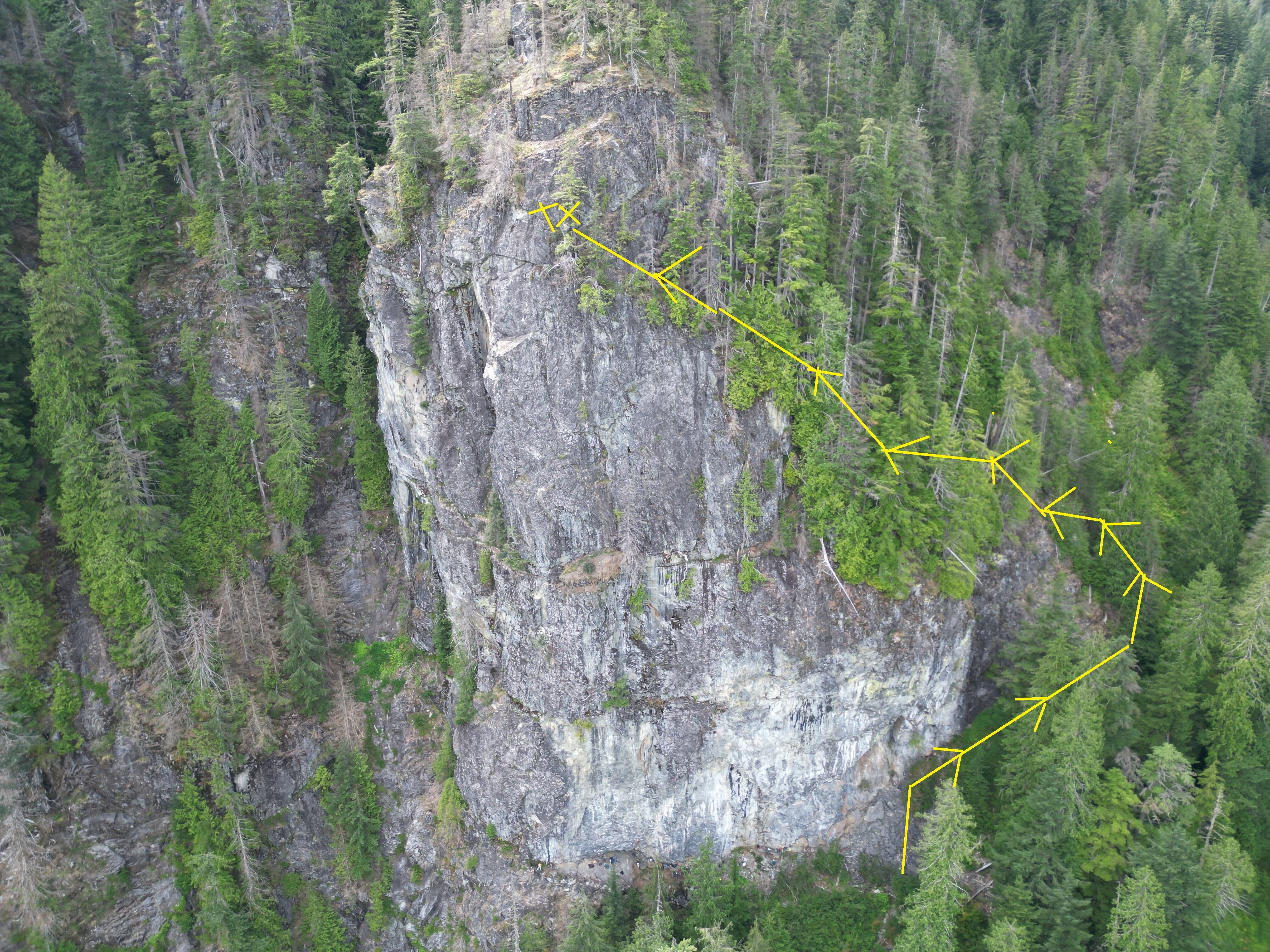
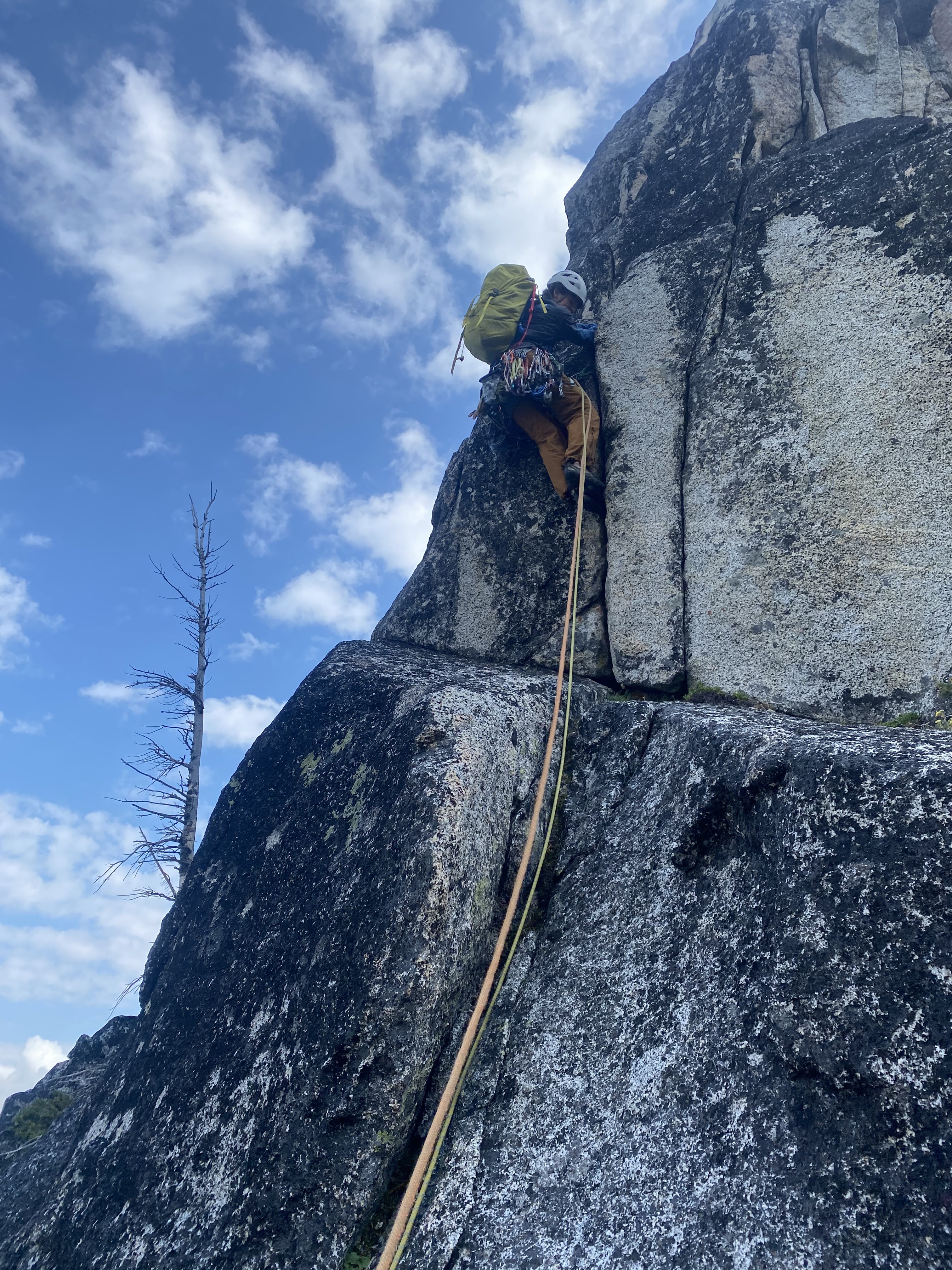
FA - Helms Deep - The Stairs of Cirith Ungol - 6 pitches, 5.11c Since I stumbled on Helms Deep back in 2021 I always wanted do a route up the most continuous section of the wall. In fact I was looking for a wall on which to establish a multi pitch when I found it, not necessarily steep single pitch sport climbing which is what HD seems to have gained the most traction with. A lack of experience, partners, and general sense of fear kept me from taking any action. Fast forward to August 2023 and I had worked up an extra bit of development experience establishing 4 easy multi pitch routes on the neighboring Spouse Wall and numerous single pitch routes in the Snoqualmie Valley. I also had some time off work. Day 1: I made plans known to my rock climbing / route-development group-text and Trevor agreed to come along, I think mostly because he felt bad for me. We met at the Pratt Balcony Trailhead each with two 60m+ ropes, a drill, 10+ bolts, and more in our packs. We made the 1.6mi/1500ft approach at the slowest pace of the summer but we were in good spirits. The climber's path to the base is beat in and, as usual, we saved some weight by filtering water at the creek crossing around 2000'. At the base of the wall we took a quick break then began a torturous shwack, contouring climbers right towards the top of the wall. Eventually, we hit the top of the rightmost end of the cliff-top, but given the shape of the outcrop we were really only ~1/3 of the way up. The ground is far from flat up there. We worked our way back climbers left, squirming up exposed 50+ degree Salal bushes. All with drilling gear and ropes on our backs. There were some moments fear and danger up there but we pushed through. We eventually cliffed-out and threw on our harnesses. I placed a bolt and started self belaying up and out on to the face. Once I got a few bolts ahead of Trevor he started jugging behind me. I think he spent a lot of time untangling the 3 additional ropes we had as well. I made it to a point where I was on the line I wanted to establish but about a pitch from the top. We decided to save topping-out for another day and began the process of rappelling, bolting, and fixing lines. Things from here went pretty smoothly, especially with Trevor handling tangled mess of ropes and passing me additional gear when I needed it. The rock ended up being relatively steep and overhanging places. I like steep climbing but cleaning and bolting is a bit more annoying when things are overhanging. The upper pitches were very clean already but there was a fair number of loose blocks hanging around lower down. We found ourselves back on the ledge earlier in the day than we thought we would, but too tired to climb so we hiked down. Days 2-6: Over the next few weeks I spent another 5 days jugging lines, bolting, and cleaning; all pretty much solo. On Day 2 I jugged to our high point and bolted what became pitches 4 and 5. Jugging 140 meters with bolting gear sucks but both pitches were mostly clean already and have great rock. On Day 3 I bolted p3 and p2. These pitches needed a bit more cleaning so I spent some time doing that as well. On day 4 I decided push the route to the top. The climbing up there is really easy but I wanted the satisfaction of topping out. This meant jugging 140 meters to our high point again with my heavy-ass bosch drill. Once at the high point I put on some climbing shoes and self-belayed with a gri gri as I made my way up what became p6. I hadn't really bolted from stances on lead before but it went well, kind of like placing ice screws ?. Day 5 I spent cleaning the lower part of P3. I noticed one of the fixed lines had begun smelling like rodent feces and I dubbed it rat piss line. The lower part of p3 had some washing-machine-sized stacked blocks. Pulling on them with a hammer I couldn't get them to move but on Day 5 I brought a crow bar and was shocked at how easily these things slid with pressure in the right location. Fortunately, the climb is far enough left there really wasn't much risk to climbers doing the single pitch routes at HD but I put up flagging tape and a sign anyways. Sending these huge blocks down into the gully below HD was pretty awesome but as I rapped down at the end of the day I had a sort-of near miss. I was just about at the bottom of the route and was shouting over to some friends when suddenly the end of the rope was in my hand. The line had been cut a good 25 feet from the end by trundles. If I had been paying less attention I would have fallen into the gulley. Fortunately my feet had just touched bottom and I had been paying attention, but it was certainly sobering. Day 6 was spent bolting and cleaning P1 which I hadn't really figured out yet but finally seemed to come together. Day 7 (the actual "Free Climbing FA"): At this point it was late September. There was a long stretch of rain in the forecast and I convinced Trevor to climb the route with me, while Daniel wanted to jug the lines and shoot footage of us with his early 2000s camcorder. Conditions were overcast and cool as we started out. Myself leading odds and Trevor leading evens. P1 starts out with easy climbing up a corner but gradually gets harder (5.11-) near a roof. I realized I hadn't cleaned this pitch nearly well enough and got pretty flash pumped below the roof but managed to grunt my way out on to the face. P1 continues on the face above with some easier climbing and it was fun but it was like dancing on choss with all the loose stuff around. Trevor followed quickly behind and arrived at the belay looking like he'd been mildly inconvenienced. He charged up p2 (5.10) as I laughed about the fact I'd barely cleaned the pitch. I launched into p3 a bit nervously because I knew it was the crux. I'd removed the death blocks and cleaned the holds just enough for it to be climbable. The bottom climbs fun laybacks in a corner to another shallow roof with some cruxy smearing (5.11-). Above this I arrived at nice ledge where I took my sweatshirt off. From here the rock quality improves but the wall also gets steep. The next 4-5 bolts are the crux of the route (5.11c) and hold some fun pumpy climbing on pinches and positive edges. Staying on brand, I got super pumped and red-lined my way to the slab above. Trev followed with one quick fall then joined Dan and I at the belay. P4 might be the best on the route, Trevor led it, muttering about how it was some "index shit". I think that translates to technical face climbing. After I followed I linked P5 and P6 together. P5 is also fun technical climbing similar to P4 only a bit more short-lived. The fixed lines only went to the top of P5 but we had Daniel tie in on a bite so he could join us at the top. It felt pretty good to finally climb this thing after all the work we'd put in (and just before the rain). Day 8-10: While I had a great time climbing the route, the amount of loose rock and dirt on P1-P3 made it feel unlikely others would want to do as well. So in early 2024 I spent three more days with a wire brush, crow, bar and leaf blower cleaning up the bottom 3 pitches (also nourishing myself in the aura of rat piss line). P3 mostly just needed a leaf-blow, P2 ended up being pretty solid and really just need some light brushing. P1 took up a good chunk of time as there were some stubborn loose blocks, but I got it done. At some point I convinced my buddies Chris and Andrew to climb the route and I went ahead of them, TR soloing on the fixed lines. On this trip I made sure all the anchors had rappel hardware, and I added two stainless steel permas to the crux. We also removed all the fixed lines on the way down. Closing: I'm optimistic with a bit more traffic things will shape up nicely. If Heaven's Gate / Golden Road at Index UTW are in your wheelhouse then this climb is too. Consider checking this thing out for a unique adventure! Gear: At least 12 draws and a handful of runners, full 70m rope Links: - mountainproject: https://www.mountainproject.com/route/125001449/the-stairs-of-cirith-ungol - youtube video we made from Dan's footage:
- 4 replies
-
- 5
-

-

-
- first ascent
- middle fork
- (and 8 more)
-
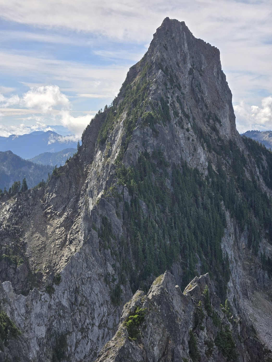
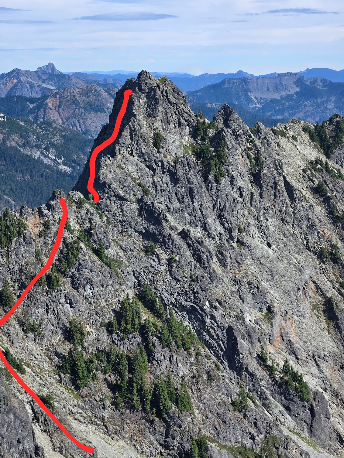
Sperry Peak – NE Ridge On August 3 Gabe and I climbed the NE ridge of Sperry Peak. Due to low clouds, we had about ~100ft of visibility until we reached 5000ft. As a result, we generally stayed near the crest of the ridge, being unable to see if moving left or right would be advantageous. Given that, our experience of the route could be substantially different from prior or future parties. We suspect that some (but not all) of the more unsavory portions of the route we climbed could be avoided with better route finding. The upper half of the route has some of the best ridge scrambling I have done in the cascades, including a spectacular section of knife edge ridge on good rock with great gear. However, on the bottom half of the route, gear is sparse and it is advisable to make an offering to the veggie gods before your ascent as many pitches are vertical bushwhacking requiring the climber to put full faith into a wide array of plant species to make upward progress. On one particularly memorable pitch I took a breather while standing on a curved cedar branch hanging several feet out from the rock before lay backing up the rest of the branch to reach a belay. For the route we climbed, a modern grade of 5.8R seems about right. Car to car we took approximately 16 hours. Overall, the rock was surprisingly solid (when you were touching it) and we didn’t experience any runout hard moves. For climbers interested in getting a bit off the beaten path with a tolerance for schwacking (both horizontally and vertically), I recommend the route. Approach: Following Beckey we took the Sunrise Mine trail to ~3100 feet and then started contouring north. After a too short and pleasant section of fern bashing, we quickly dove into steep dense jungle. Several cliff bands pushed us downhill toward the top of the slabs with the waterfall you see from the trail. Unfortunately this way doesn’t go, so we turned around and followed a cliff band uphill until finding a short class 3-4 gully which allowed passage. Continuing to contour we crossed several steep gullies (requiring a bit of luck to find reasonable scrambles to get into the gullies) with running water and a couple sections of class 3-low 5th slab before accessing the ridge from its east side at ~3500ft. If we attempted this route again late in the summer (so the water levels are low) we would consider approaching directly from the car. From satellite images it looks like it would be possible to follow relatively open stream beds to almost the bottom of the ridge. Of course we haven’t tried this approach so no guarantees! In the below picture I marked our approximate ( I cannot emphasize enough how approximate this is) approach in green and the possible alternative approaches mentioned above in red. The parking lot is for the sunrise mine trail is circled with blue. Climb: Hit the ridge and follow your nose. Many options are possible. Descent: Descend the standard Sperry scramble route. Gear Notes: We brought doubles in .4-1, a single .3, 2,3, and one set of nuts. For slings we brought 12 Singles, 4 Doubles. We used a 60M rope. Bring a nut tool to clean out placements. If we were to do the route again, we would bring 6-8 doubles and fewer singles. Lower down on the ridge the larger cams were surprisingly useful. Two 3’s and a 4 would not go unused, though they are not necessary. Final Thoughts: We found a couple pieces of fixed gear. Any of them yours? I would be stoked to hear about other people’s experiences on the route. Has anyone done the northwest ridge? The upper portion of it looks interesting! Pictures: The Fixed Gear: The access gulley on the approach. Many of lower pitches on the ridge were similar to this: Some pictures on the lower half of the ridge: Unbeknownst to me, I picked up a stick while following a pitch: And now some upper ridge pictures!
-
I have been contemplating the value of writing a trip report for this for the last few months. I have landed on publishing this since it may provide some insight and lessons to the climbing community here in WA and beyond. On 8/30/24 around 1am, Ian and myself headed North from Wenatchee determined to conquer the rarely climbed Wishbone Arete on the South face of Mount Robson. We met my brother, Noah, who was coming from Spokane at around 4:30 am at Lake Osooyos. From there we drove 6 more hours North through Valemount before setting eyes on the stunning South Face of Robson. This is one of the most spectacular mountain scenes I have seen in North America, and certainly the greatest from a paved road. Pulling into the parking lot at 3pm MTN time, we were a bit intimidated by the ~11,000' size of the face, but were confident we could make 5,500' up to the hut that night. This was a big objective for Ian and I, and certainly Noah's biggest challenge to date. A bit after 3pm, we set off on bikes along the 3 mile trail to Kinney Lake. Just on the other side of the lake, we ditched the bikes in the brush and started hiking up the steep forested slopes where we thought the trail to the hut might be located. After around 2,000' of thick bushwhacking, we found a clear climbers trail that I wish we would have located much earlier. The hiking is very steep from the beginning. There are a few low 5th class sections with chains bolted to the rock, and there are massive cliffs below to discourage you from falling. Once on the climbers trail, we charged another 1,000' up to the tree line and emerged on the steep scree slopes leading up to the hut. The trail disappears, but the hut was just barely visible so we knew where to aim for. There are a few more steps with low 5th class climbing and some chains to assist. We are not "aid climbers", so we of course avoided said chains. Some of the cliff bands below the hut looked quite formidable until we were right up to the base of them where a weakness suddenly became visible. Noah's sleeping bag was strapped to the outside of his pack, and at around 6,000' it came loose and tumbled down the steep slopes before going over the edge of the massive cliffs below. We trudged on knowing that a night above the hut (if required) would involve sharing Ian and I's sleeping bags three ways. At around 8,000' just as the sun was setting, we emerged on some easier scree slopes and followed the ridgeline up to the hut. Noah and Ian made dinner while I walked down the start of the traverse trail across the South face in the dark to find a waterfall and filter water. We got to bed around 9pm. Ian and I loaned Noah our puffy's to use as a modified sleeping bag, but none of us got much sleep due to the rats scurrying around in the walls and ceiling all night. We woke up at sunrise, packed up the most minimal kit possible, and started across the South face at around 6am. We intended to reach the summit that night at a minimum, which was guarded by 5,500' of steep and unknown terrain. The trail starts out well-defined but eventually fades as the loose scree gets steeper. The South face is huge, and this seemingly short traverse ended up being around a mile of side-hilling on steep loose scree and ledges. Around 8am, we finally reached an access point to the Wishbone Ridge on it's West side and boy does it look intimidating. Huge rock pinnacles on the ridge that would take days to climb over appear to block access. Nevertheless, we put on our big-boy pants and started upwards to feel things out. After some 4th class to 5.4-ish climbing on the loosest most inconsistent rock imaginable, we got out the rope and the climbing kicked back to vertical. Route finding throughout was just following path of seemingly least resistance. Every time there was a difficult obstacle, we were able to find a hidden gully or ledge to the East or West that would take us around the difficulties and put us right back on the ridge crest. The first 5.6 pitch followed a thin, loose traverse on small foot-holds to a less-than vertical valley in the rock. This led up to a small overhanging roof but there were descent (seemingly) solid handholds above to pull ourselves up and over. After two pitches we took the rope off and resumed the 4th class scrambling as the rock quality somehow got even worse. Worse than Mount Alberta. We eventually found our way up to another cliff with no way around, but an actually decent crack and solid rock. Ian led and was able to finally get in some solid protection for once, which made following much less stressful for Noah and I. This was probably the most difficult pitch of the route, but seemed like the easiest part due the occasional availability of rare pro placements. From the top of this pitch, we cut East to avoid a soaking wet cliff band and ended up finding a moderate gully and a view of the summit rime ice towers. It was around 2pm and we had around 1,500' to go. We could hear enormous avalanches thundering down the South face every 30min or so, but they were mostly obscured in the gullies to the East of the Wishbone. Unfortunately, the last 1000' of the ridge or so seemed to be covered in fresh snow, which makes for exceptionally unstable climbing on top of loose shale. This coupled with the lack of any sort of protection or anchors made for very mentally taxing climbing and we were all tired and hungry. There had not been a flat spot to rest or bivy for at least 2,500'. To make matters worse, as we came around to the East side of the ridge, the Serac's of the summit glacier came into view. We realized that the entire 1.2 mile traverse across the South face was seriously threatened by this overhead hazard, and the avalanches would rip 4000' down the face and destroy anything below. For me, this took retreating back to the hut off the table. That would not have been an appealing option anyways due to the amount of dangerous and tedious terrain we had already climbed. We decided to forgo lunch and push on to the summit in hopes of digging a snow cave to wait out the night. We climbed up the wet and loose gully for around 500' and popped out on the ridge within 1,000' of the summit. We continued upward on loose terrain. The snow build up was getting deeper, and the rock was getting slippery. We soon were using ice tools to find purchase and excavate for any sort of solid hold under the snow. We discussed using the rope, but there was no protection placement available of any kind. Even if a crack could be found for a cam or nut, the shale just broke or fell apart as soon as any pressure was applied. At around 12,500' the angle of the climbing got up to about 60 degrees as we were traversing West around a small cliff band. I decided crampons would make for safer travel and kicked in foot placements in the loose slush to transition. Ian was a ways up ahead and Noah was just around 10' above me and to my Left. Knowing we were at the limit of our abilities, I encouraged him to try and retreat back down to my foot placements and put crampons on. Just then, his feet and ice tool placements gave way, and he started sliding on all fours down the mountain. For the first couple seconds he grunted and tried to self arrest, but finding a solid hold in that terrain is nearly impossible. After a few more seconds he tumbled over the cliff band below and out of view. Knowing that the next ledge was many thousands of feet below, we knew right away that Noah was gone. I said a prayer for him in his final moments and then asked God to give me strength to succeed so that I could live out my life with my family. After a few seconds I yelled at Ian that I thought we needed to get the the summit before dark set in. I put on crampons and climbed up a bit further in Noah's footsteps. Ian reached the ridge crest and dropped me the rope. The only protection would be to have each of us on opposite sides of the ridge so that our body weight would hold a fall. Once I joined Ian on the ridge crest we were about 300' short of the summit. We somehow had cell service and I reported our situation to Jasper NP search and rescue. I told them we would be on the summit tonight, and that we would contact them in the morning. From the crest, Ian led upwards on unstable ice. The climbing got steeper and steeper until reaching a bit over 70 degrees at the crux pitch of the route. It was very unstable climbing, with one pick or one crampon placement frequently giving way. Several times I was saved by only one good placement when the other two slid away. Just below the summit there is a huge rime ice formation. We drove in a basically useless picket placement just below the formation and I led out to the East on very steep and soft snow. Once I was off to the side of the formation, a thin gully appeared just wide enough to allow passage. The rope ran out, and I yelled at Ian to pull the picket and start simul-soloing. After around 40' of climbing up the thin gully, I emerged on the exact summit of Mount Robson just as night fell. I walked over to the other side of the summit hump and belayed Ian the rest of the way up. At that point, once the immediate danger was gone, we finally lent some thought to what had just happened. I knew it was horrible but it was difficult to grasp the ramifications of losing my brother like this. Ian and I were both starving and dehydrated, but I quickly switched to my next objective of getting home to let my family know what had happened and grieve with them. I started down a hundred feet or so in complete darkness towards the direction I assumed would lead us to the dreaded South Face descent route. Luckily after about 3 minutes, Ian confidently yelled at me that this was a horrible idea and we needed to stop for the night. I am very thankful for his assertiveness because it felt like I snapped back to reality a bit and realized that he was totally right, and there was no way we would find the correct route and survive the descent in the dark. We climbed back up to the top and dug a small platform for sleeping bags. I put the rope and my pack down first and my thin foam sleeping pad over that. Luckily the night was calm and cold. There was a lot to consider laying there. Huddled in my sleeping bag, I read Psalms 40-50 on my phone and found a few comforting verses there: Psalms 40:1-5 1 I waited patiently for the Lord; he turned to me and heard my cry. 2 He lifted me out of the slimy pit, out of the mud and mire; he set my feet on a rock and gave me a firm place to stand. 3 He put a new song in my mouth, a hymn of praise to our God. Many will see and fear the Lord and put their trust in him. 4 Blessed is the one who trusts in the Lord, who does not look to the proud, to those who turn aside to false gods. Psalm 46: 1-7 1 God is our refuge and strength, an ever-present help in trouble. 2 Therefore we will not fear, though the earth give way and the mountains fall into the heart of the sea, 3 though its waters roar and foam and the mountains quake with their surging. 4 There is a river whose streams make glad the city of God, the holy place where the Most High dwells. 5 God is within her, she will not fall; God will help her at break of day. 6 Nations are in uproar, kingdoms fall; he lifts his voice, the earth melts. 7 The Lord Almighty is with us; the God of Jacob is our fortress. Sometime after midnight, I was able to get a few hours of sleep due to complete exhaustion. We called SAR around 7am to update our location. They asked if they would be able to send a helicopter to retrieve us to which we agreed. Just after 8am, a helicopter buzzed the summit and made an incredible landing in a tiny saddle just 50' or so below us. We loaded our gear in and flew down to the bottom of the mountain in a matter of minutes. I was very thankful to not have had to take the dangerous and tedious descent route back down. We received a police interview at the ranger station, and a kind ranger drove us down the trail in a side-by-side to retrieve the three bikes. This was certainly the most dangerous route Ian and I have ever done, and honestly is the first one I can say that should never be climbed again. There is just no safe way to climb it. There is next to no protection the entire time and due to the rock quality you are basically just rolling the dice on every hold. The slush over the top made it totally unsafe, but there is not really a feasible retreat from that high on the mountain. On top of the completely insecure climbing, there are massive objective hazards throughout. If you are considering climbing Mount Robson, find another route. It is incredibly beautiful, and I would encourage anyone to try maybe Emperor Ridge or the Kain Face as I have heard much more positive reviews of those routes. This will be my last trip report of this scale, as I am stepping away from serious climbing to prioritize family. None of us have experienced the death of a close family member. We are finding that the only joy can be found through God's promise in the bible that those who believe in him will spend eternity in paradise. Romans 10:9: 9 If you declare with your mouth, “Jesus is Lord,” and believe in your heart that God raised him from the dead, you will be saved. I am posting this as some sort of closure to my climbing career and to remember Noah. It is hard to describe the impact Noah had on his family, hometown, and group of friends in Spokane here. Back in September we had a funeral ceremony for him at our local church that is captured on video: There are some profound reflections on death, and how this has impacted our family vs how death is viewed by the majority of secular society. I think it did a great job of honoring the incredible work of Noah's life and the impact he had on the people around him.
-
Trip Report: written by Sam Allen While moving off to university I decided to finally complete a write-up of an amazing summer adventure. Homesickness is real and I am so grateful to have grown up in such an incredible state. *Disclaimer: A bit late to the Jabberwocky party, a similar line up the SW spur was completed by David Wood and Eric Koch a few weeks prior. While unknown to us at the time, all credit and the FA of pitches 1, 4, and 7 should be attributed to them.* Now to the story… After his FA’s of Solid Gold and Dragons of Eden, what’s one more slog up Colchuck lake to help finish Wayne’s incredible Enchantments trilogy? The idea began earlier in the summer while suffering through sweaty jams in a Squamish heatwave. Meeting briefly at a crag, he shared a quick photo of the inspiring ridgeline of Jabberwocky tower, stories of solid rock, and a potential line. How could I say anything but yes? SW Ridge Jabberwocky Tower Fast-forward two weeks later and we were on our way up to the lake to check the line out. Equipped with minimal bolting gear and expectations of a quick mission, we flew past the day-hikes and began approaching the climb. Immediately we realized the entire tower is an undertaking way beyond our time-limit. From the lake, 1300 feet of broken enchantments granite is littered with tree ledges, overhangs, chimneys, slabs up to an imposing summit block. “Definitely a sting in the tail,” Wayne remarked. Spotting a hanging forest leading to the SW ridge, we began cutting a pleasant traverse through some small patches of slide alder, giving ground within a few minutes of the hand saw. Jabberwocky Tower blending in beneath CBR After some typical cascade jungle climbing and scree wrestling, we had reached a fairly prominent (SW) ridge. After walking about and pointing at things above our heads, the ridge proper was the obvious starting point. “Imagine if we can stay on the ridge proper!” Wayne casted up the first pitch, chucking pebbles over my head into the lake already hundreds of feet below us. The rock was good! Hand cracks were everywhere promising fun moves and great gear. After some problem-solving and block-wrangling, the pitch was slayed in great form and Wayne brought me up to gear belay. Pitch 2 went down with similar speed and enjoyment with fairly easy climbing leading to a fantastic ledge stance. Pulling the last few moves, I took my first look above the belay and laughed out loud! The rock pulled back into an overhang, cleaved by a perfect crack. Wayne looking up at the start of P1 and the ridgeline As cool as the feature looked, however, it wouldn’t come for free. Loose blocks peeked out above the lip and there was no way of knowing whether a key chockstone would hold any weight. It was already getting late in the afternoon, but the pitch was too tempting and Wayne decided to gear up. Bolting with some fantastic scenery… Wayne launched up the crack in incredible style, maneuvering over microwave blocks right at the physical top-out. My huddled belay offered little protection had he trusted a wrong foot. But by the time he turned the lip and moved out of sight, half-rope was creeping up and the way down was going to be complicated. After leaving some gear and lowering, our first high point was established. Two more raps and we were back at the base, ready for our hike out. Wayne reaching for the top on P2 Time back at the car: 8 PM Hikes commenting on “suspicious rockfall”: 3 Enjoyment of the hike out: 6/10 Trip 2 A few changes were made for the second attempt, the most important being Jenn coming along! The small delay in belaying a team of 3 was worth it ten times over by the rest afforded and shared gear. Two ropes allowed us to pitch out full rope-lengths and retreat, creating efficient and calculated belay stances. The first two pitches of our original attempt were combined, and we were back at the now-called Bandersnatch crack (the true Jabberwocky poem offers endless names). Slightly cleaner this time, the pitch was serious as Wayne boldly locked rattley hands up into the perfect summer sky. The continuation of the pitch turned into a fantastic knife-edge as well, a fun au cheval treat to rest the feet. Jenn cruising above Colchuck Lake P3 was a puzzle, seemingly luring us to a sloping ledge belay underneath the reaching gendarme. New to the whole route-development style of climbing, I was thrilled with the opportunity to chuck spare rocks off into the gully, adding excitement to anyone’s Aasgard Pass day hike. I took the lead for P4, a short step up to the ridge proper and then a traverse to the base of the next tower. Cresting the ridge, I probably spend more time staring back at Stuart than any hand or foothold. Quick belays and we were ready for a late afternoon layback. Myself leading back up to the knife-edge on P4 Wayne resting on some gear to get the excavation psych back! On top of the second gendarme, the sun was beginning to get too close for comfort above the Stuart skyline. To our right, a sheer granite face stretched down to the gully, with a perfect rap tree at the top. After some good luck rituals that the double rap would touch, Wayne descended first off what would be an incredible rappel, overhung and 60m exactly. A long hobble down the gully in climbing shoes led us to our bags and, once again, the amazing hike out. Hikers scared of rockfall: 1 Beta sprayed to anyone with a helmet on: 3 Time back at the car: 11 PM Trip 3 By this time we were determined. I was leaving Washington soon and the memory of the dusty trail and late-night drives back were becoming a little more long-term. This time, we finally dusted off the overnight gear and drove out the day before. Starting at 6 the next day (woken up to minivans of through-hikers…) we beat the heat of the day and were racking up by the time we would have normally started. The first 5 pitches flew by in record time, stopping only to trundle a few huge blocks we had skipped over and taking the time to slot and glue in the crucial chockstone from the first overhanging 10b step. These pitches were already cleaning up nicely and the climbing was smooth and fun as we launched up to the summit tower. Reaching past our previous rappel spot, we anchored in for the final two pitches. Wayne after some tough thin gear A series of clefts, cracks, splits, and ledges, all perfect hand size, made up pitch 6. The movement was incredible and secure, with jams leading everywhere in hands reach. Staying true to the ridge offers increasing views of the Enchantments core and the ant trail leading up. Reaching the belay, however, offered a more imposing mood on the team. Above was another reaching overhanging crack, both longer and wider then the first. The rock was speckled red and orange, and the top was just out of site above. The pitch was the true sting in the tail we had seen from earlier and no easy let-up to the top. Wayne racked up the big gear and took the first steps across to the base… Watching the lead was inspiring. The size in between hands and fists is always a weakness of mine and Wayne made it look easy, bumping cams and reaching high until the top jug. Just like that, he crested the top! After falling off (read: flailing) on the crack, I finally pulled up the last few handholds to the summit block. Continuing on, I pulled a step, walked a few feet, and reached the end! Looking across to CBR and the slopes beyond was a fantastic feeling that definitely fuels my passion for years of Cascade adventure. A quick tree belay and all three of us were on top smiling. Everyone on the top! After installing a rap anchor, we left via the backside and the CBR approach trail, circumnavigating the entire lake in our day. This was way faster and a lovely way to walk down with the evening light. Maybe it was the feeling of accomplishment but I didn’t even mind the dusty trail this time, thoroughly fulfilled and energized from the amazing peaks we spent so much time on. Climbers told to “Get on it!”: 2 Time back at the car: 9 PM, but a quick overnight allowed for a luxurious and slow breakfast stop the next day. Happiness: 11/10 Lastly, I really want to thank Wayne and Jenn for letting me help out with the vision and all the climbing mentorship over the years. I can think of many of my friends who are fueled by the psych and knowledge Wayne brings to the community and hope to one day pass that down again. Climb Notes: We have cleaned the route fairly well of any dangerous blocks and dirty cracks. Lichen is already worn off many holds. We installed around ten bolts, mostly around belay stations, but the route protects very well with gear. For more information visit MP https://www.mountainproject.com/route/126723752/song-of-the-summer
-
Trip: Roosevelt + Kaleetan + Chair Peak Date: 9/10/24 Trip Report: tl;dr: Alpental -> Roosevelt standard route -> Kaleetan White Ledges -> suuuuper roundabout way to access the NW ridge of chair -> standard Chair descent -> Alpental. Having scrambled up all three of these peaks independently, I had some suspicion that a linkup was possible that started and ended at Alpental. The intention was to make this a similar-feeling neighbor to Climber Kyle's CURL -- not a pure circumnavigation of a basin, but a fun peakbagging romp with more than enough no-fall terrain to make things interesting. I met up with Marc to realize this goal, thinking that we'd scramble up Roosevelt, then follow the North Ridge of Kaleetan (5.2?), and then go up the West Face of Chair (Beckey 4th, no TR's that I can find). Emphasizing again, this is a scramble, so no ropes allowed. We did bring rock shoes and are both glad we did. We started up towards Snow Lake at 7:20AM, and enjoyed the easy trail until maintained trails gave way to social trails as we approached Mount Roosevelt. It was great to meander around Snow Lake with none of the weekend hordes. Mount Roosevelt, is an easy class 3 dirt slog, with a few fun rock moves towards the top -- certainly interesting enough to make it into the linkup. From here we descended the standard route, and then cut south to enter the gulley just SSE of Roosevelt, setting our sights on Kaleetan. We ascended the loose dirty gulley to gain the notch of N Ridge Kaleetan, enjoying a short low-fifth step to access the notch. We then followed easy ledges and scrambling on the west side to gain the ridge proper and take a gander at the knife-edge of Kaleetan. My head game has been out of whack lately, so as we both eyed up the knife-edge and the true start of Kaleetan's North Ridge, both Marc and I decided that it looked a little too spooky for how we were feeling that day. We revised the plan to instead take Melakwa Pass to the White Ledges of Kaleetan. So back down the dirty approach gulley and over Melakwa pass we went. The White Ledges are truly a joy -- definitely a much more fun way to get up there than the standard route, and much faster, too! A quick jaunt up let us sight what seemed to be a viable line up Chair Peak. Foolishly, I ignored everything written in the Beckey bible (route description, topo, etc), apparently forgetting that I had taken photos of Beckey the day before. Turns out the White Ledges also make a stellar descent route, too! Instead of adhering to the West Face 4th class description, we opted to take an easy left-leaning gulley approximately 0.5mi north of upper Melakwa lake. The plan was to ascend this gulley and then zig to the south, eventually gaining enough elevation to traverse south along what we spied as a ledge system near the summit and eventually suss out a route up the summit block. We reached the base at 4:30PM and started up the gulley. The initial going was easy third class slab, and at a junction of two ascending gulleys, we opted to go up and right with some fourth class grassy sidehilling. We ultimately probably ascended too much and found ourselves very close to the NW ridge. Continuing to traverse underneath the gendarmes seemed exceptionally treacherous, so we took our chances and peered over a notch in the ridgeline. The east slope seemed like much easier going but offered minimal promise of regaining the ridge. There was some discussion of bailing since we were explicitly trying to avoid sustained class 5 travel and were running the risk of losing the light. We dropped off the notch onto the east side and were sighting possible exit opportunities, when an easy-looking gulley/couloir presented itself, one gendarme to the south. The time was now 5:20, and we had roughly 2 hours before headlamps would have to come out. Wanting to give the summit the old college try, we decided to regain the ridge and see what we could see. I was thoroughly sketched out so I paused to don rock shoes while Marc ascended the gulley in his approach shoes. Stemming up this dihedral felt slightly committing and definitely something I didn't want to undo. I caught up to Marc who was perched on a ledge beneath a chockstone guarding the ridge. He was a little stuck and wanted to see if I had any ideas. I stepped out to the right, doing a short sequence that felt mid-5th class with serious consequences. Back on the ridge, we were still flummoxed by a line of gendarmes. We were generally pretty unhappy here, since this no longer felt like scrambling. I vaguely recalled that the NW ridge of Chair goes at 5.7. Faced with the option of trying to find some unknown cliff-free descent to bail or just to solo the 5.7 route to unlock the 3rd class South Shoulder descent, we reluctantly decided to keep ascending. We traversed under the next gendarme on the W side and then regained the ridge proper in a chimney with a chockstone. Here Marc switched to rock shoes and we started up the 5.7 NW ridge. Most of the moves were low-fifth on rock of dubious quality, but aside from a move or two that felt slightly harder, everything felt fairly easy and it was a really pleasant climb! Maybe above my pay grade for a solo, but very attainable. It was comforting to be back on a "known" route -- we even saw a few pins at an obvious belay stance! Taking our time, we reached the true summit at 6:30, with ample time to descend the circuitous sections of the standard scramble route up Chair. Headlamps came out at some point, talus was hopped over, we made it back to the cars around 9:40PM for a 14h20m c2c. Photos: N. Ridge Kaleetan Best guess of the line we took up Chair Better topo I stole from the internet somewhere showing the NW ridge of Chair. Gear notes: Rock shoes were really nice to have. If early season, I'd want to bring an axe and some traction. Rope and rack not necessary. roosevelt-kaleetan-chair-91024-71853-am (corrected).gpx
- 5 replies
-
- 5
-

-

-

-
- trip report
- scramble
-
(and 1 more)
Tagged with:
-
I've used this forum a fair bit for research in the past and figured it's time to contribute back! This is a post from the summer of 2022, but hopefully the beta is still useful. My partner Andrea and I set out to do Phyllis's Engine via the standard route in late September. The plan was to do the approach on day 1 up to Polemonium Ridge and then attempt our climb the following morning with a long hike out on the same day. Despite its inclusion in the Alpine Select, there's actually not a ton of beta (that I could find) on the standard route. Steven Song has a great report from the 5.9 variation and there was also one post on here from 2013 with some good beta as well, but otherwise there's limited details on what to expect. The one other detail that I read on numerous accounts was the cadence of ropes getting stuck on rappels. I had that in the back of my mind for the rest of the trip. On the 20th, of September we set out from the Helm Creek Trail Head and followed the well paved path all the way to the turn off for Helm Glacier. The glacier was in a very dry condition, so we didn't bother roping up and found it straightforward to navigate. When we reached the top of Gentian Pass we caught eye of the 250m elevation loss below, but the scenery is nice enough to distract from it all. We reached a suitable camp site around an hour before sunset and settled in for the evening. Andrea on the Helm Glacier Dropping into Gentian Pass Sunset at camp We got going around 9am, when the sun rose and followed the long side hilling traverse around to the Sphinx Glacier entry West of Phyllis's Engine. This glacier looked more complicated to traverse so we made the decision to rope up here. Andrea lead a great line up to the base of the Engine and then we transitioned over to climbing gear. From there we lead 3 pitches to the summit on solid rock, albeit the top of pitch 1 was kitty litter over slab. Reaching the entrance to the glacier The Engine off in the distance Getting closer Myself above the first part of pitch 1 At the top of pitch 1 looking down at Andrea The kitty litter slab traverse Andrea coming up pitch 2 Myself on pitch 2. I ran out of gear just before the top, so Andrea lead the remainder up to the base of pitch 3. Looking down the exposed and awesome pitch 3 Andrea on the summit Myself on the summit On the descent, we found our rope was too short to reach the second rappel station we spotted (on a 60m rope) and so had to build an intermediary rap station and then continue on. I held my breath on each rope pull, but thankfully it never got stuck. We swapped back into our regular gear and then roped up for the glacier again. We didn't reach our camp site until just before sunset. Andrea and I debated crashing for the night, but we had run out of snacks and we figured it's better to slog it out now then be hungry in the morning covering the same distance. With that, we packed up camp and made our way back towards Helm Glacier. We didn't arrive until well into the night and it was a touch spooky covering the glacier by head lamps only. It was a moonless night, which didn't help. Helm Glacier at night After the glacier, it was a long march back to the car, but we finally made it around 4am after 19 hours on the move. I drove us back home where we promptly crashed out for the day. I have a full recount of the details here if you're interested: https://www.francisbaileyh.com/2022/09/22/phylliss-engine/
-
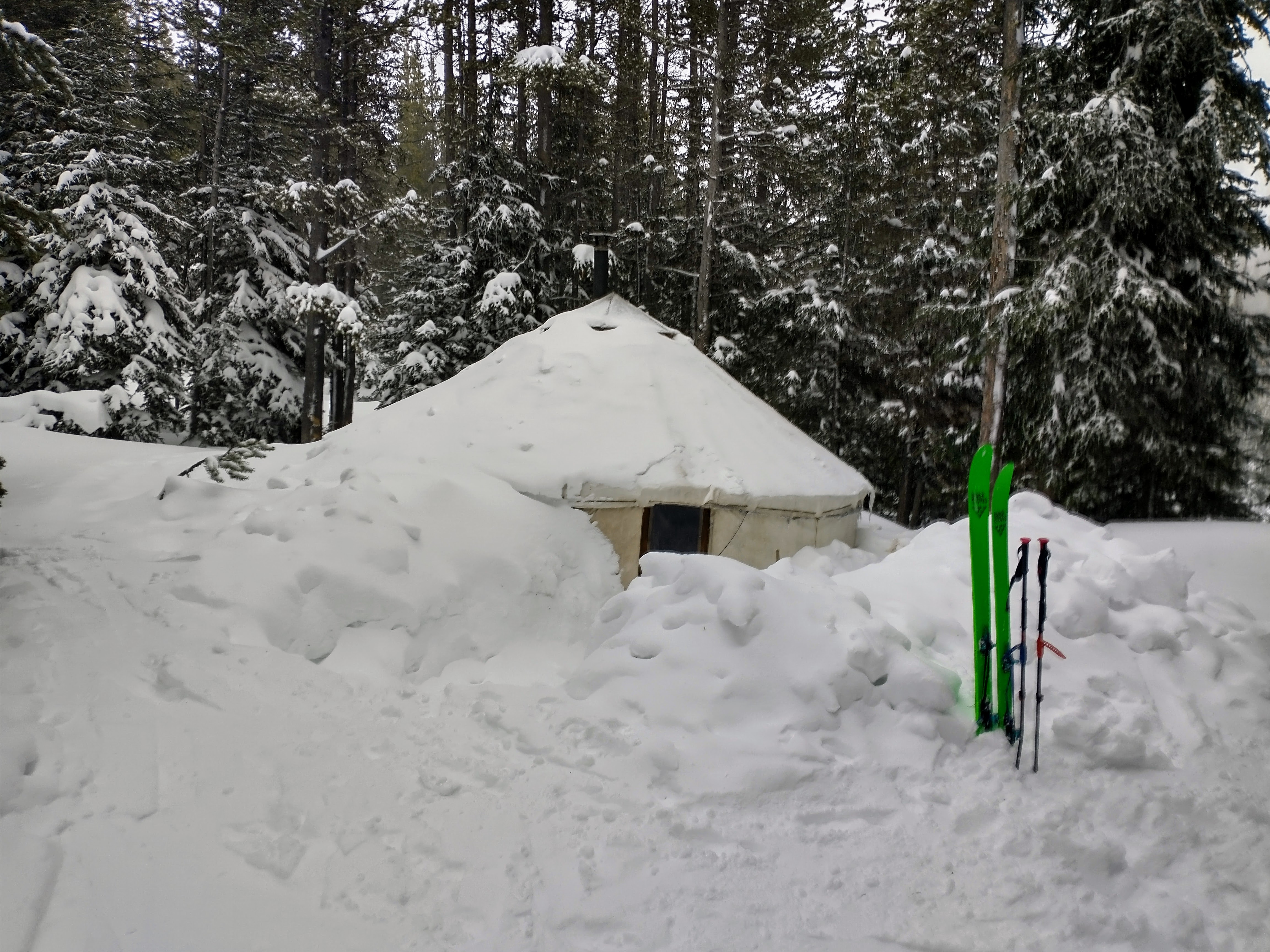
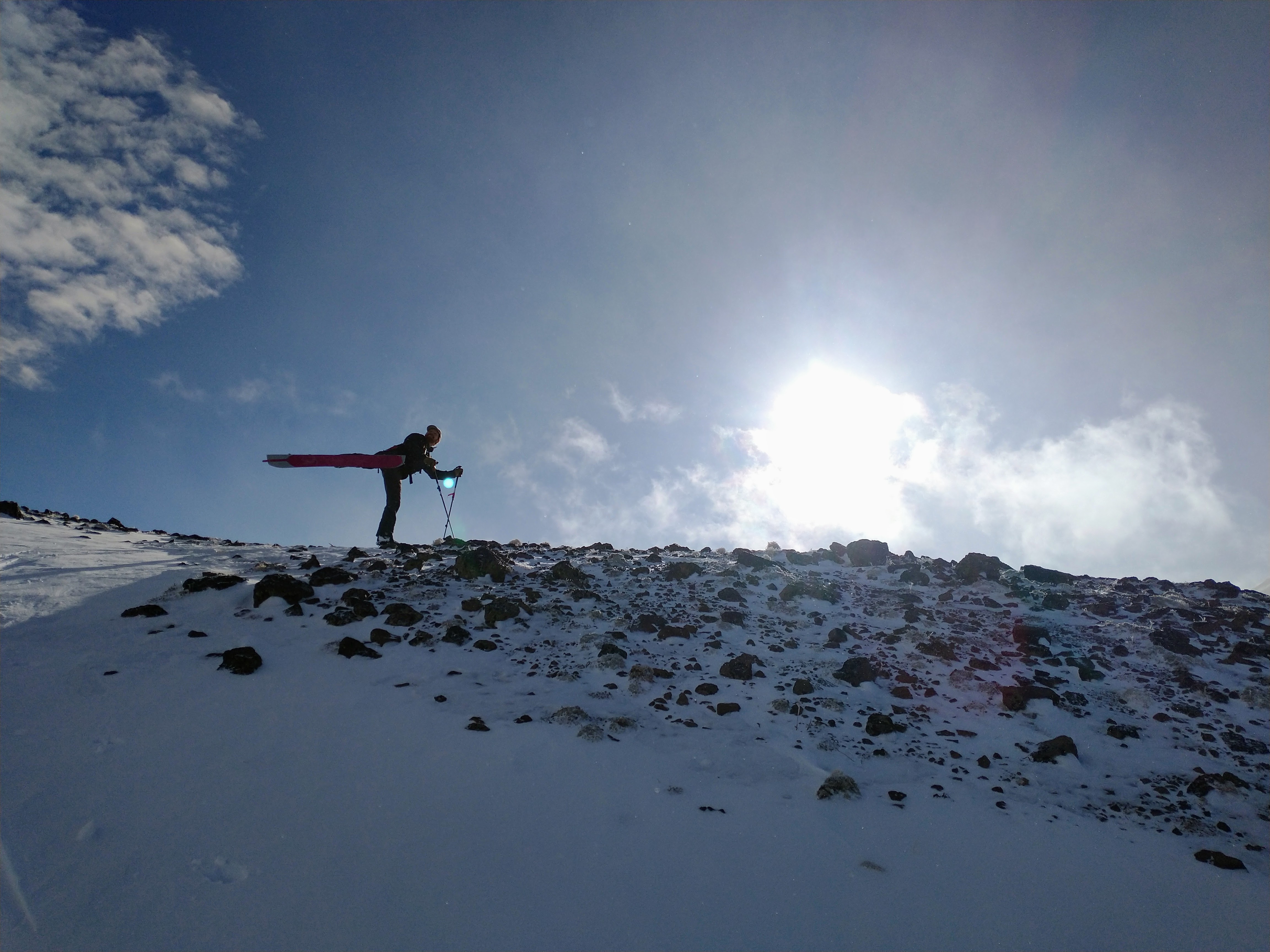
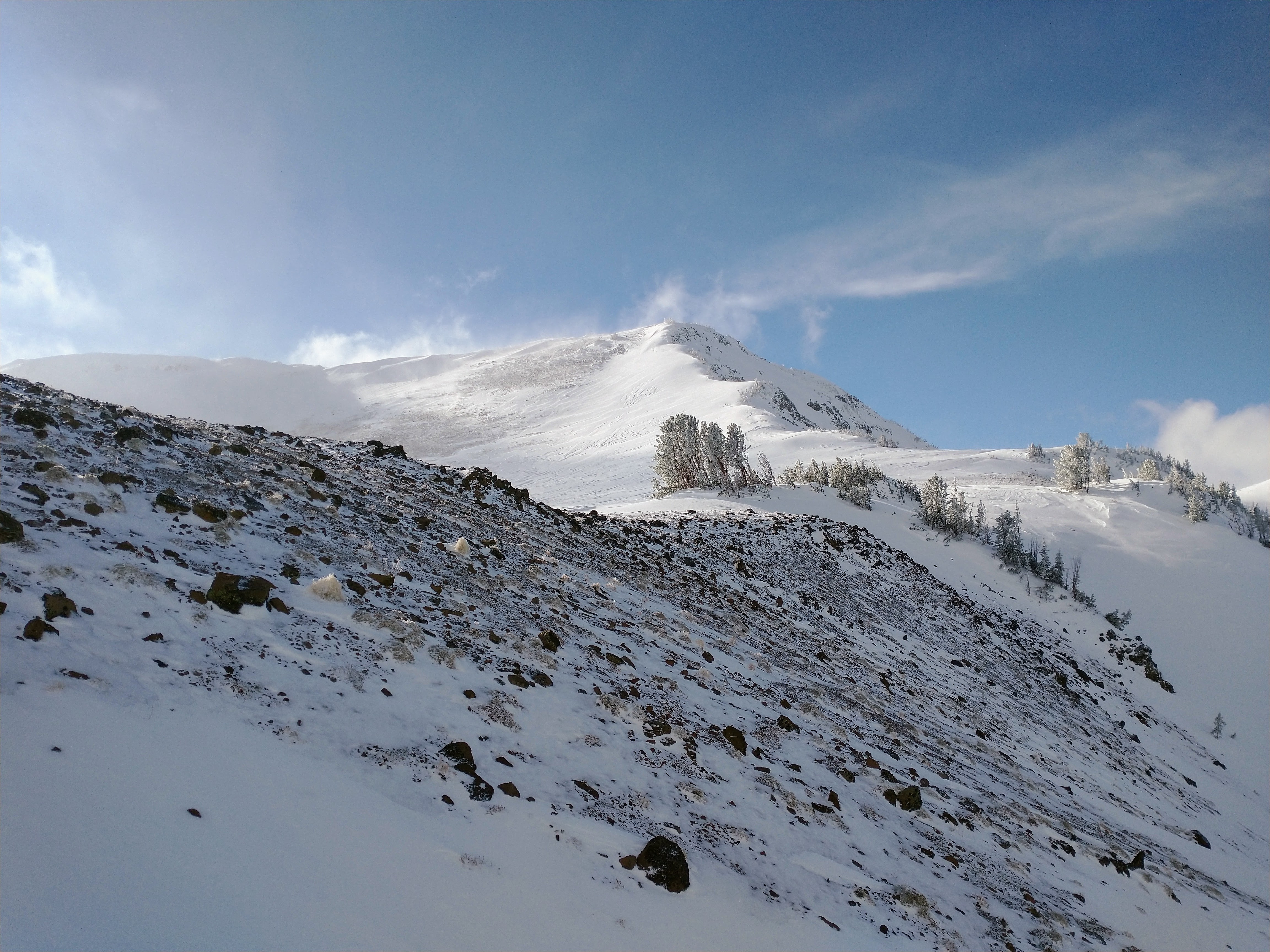
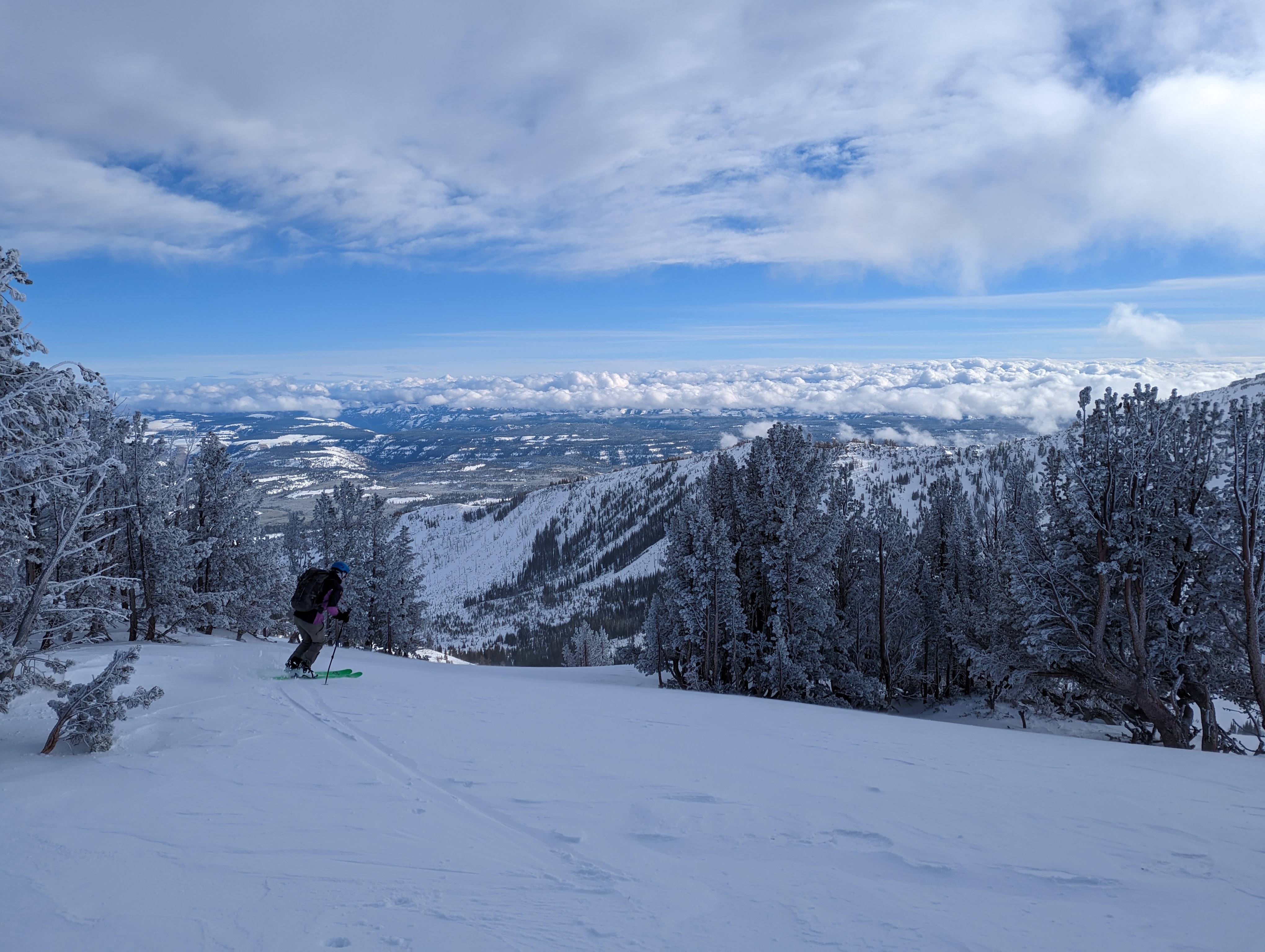
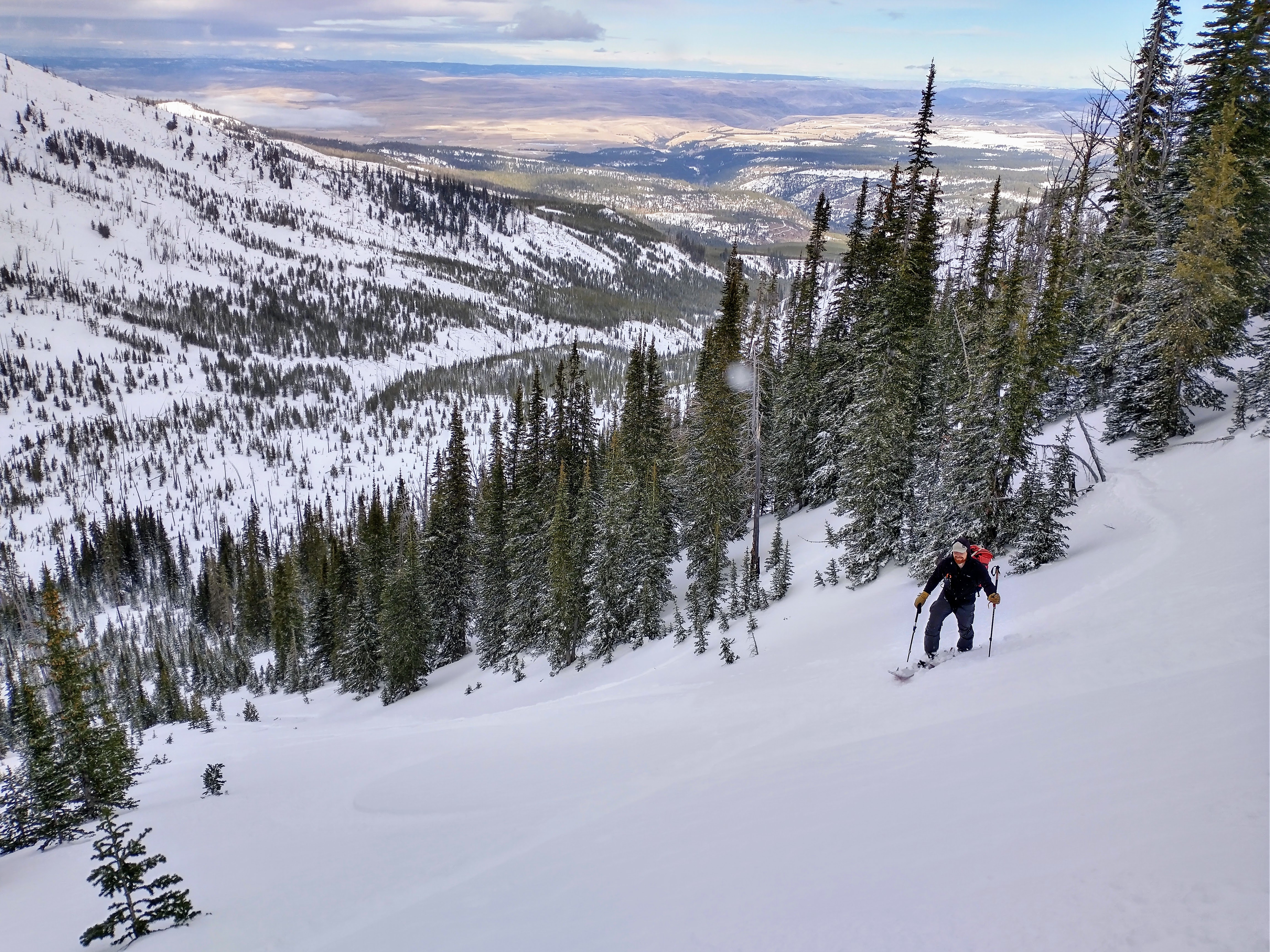
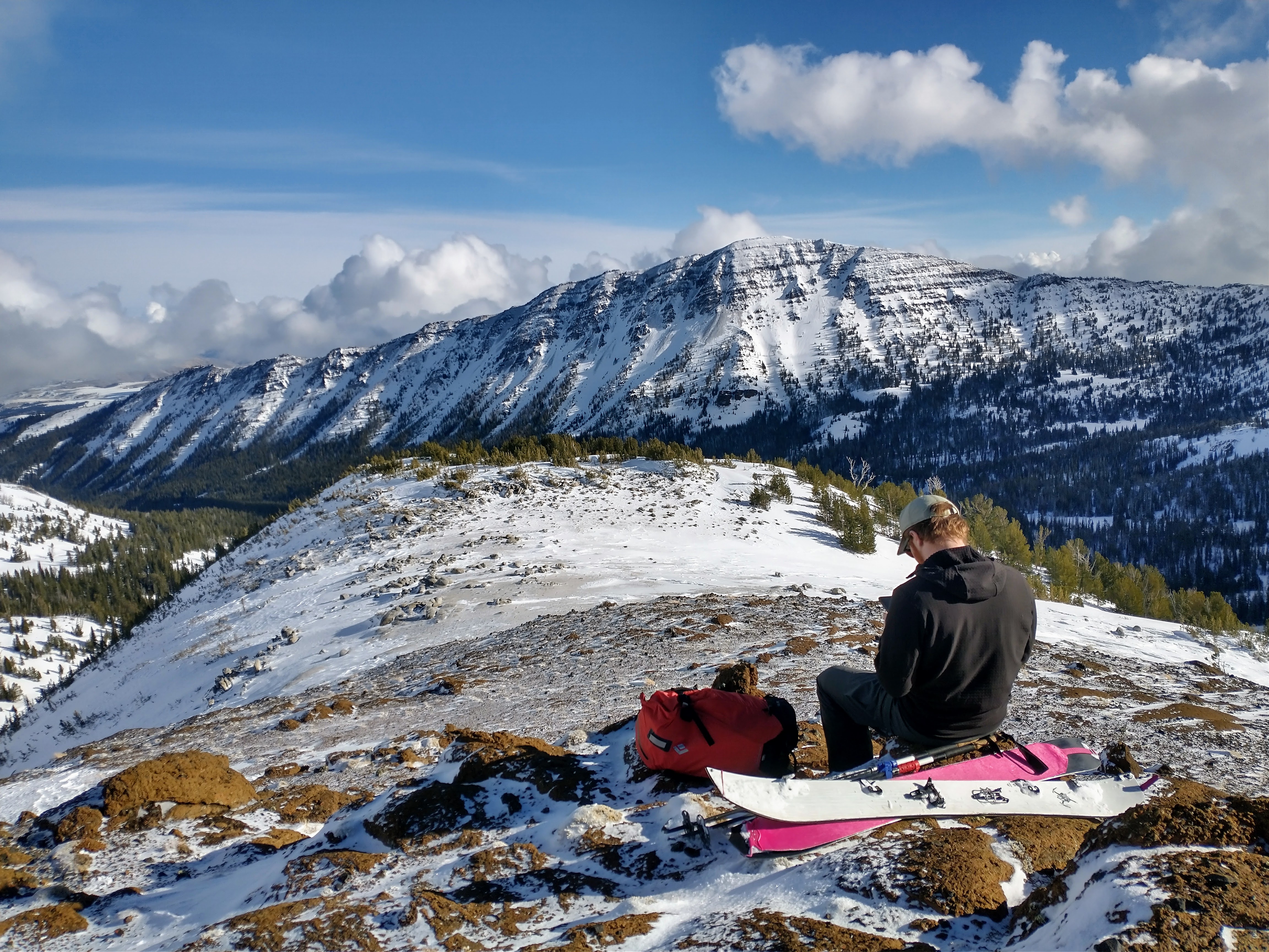
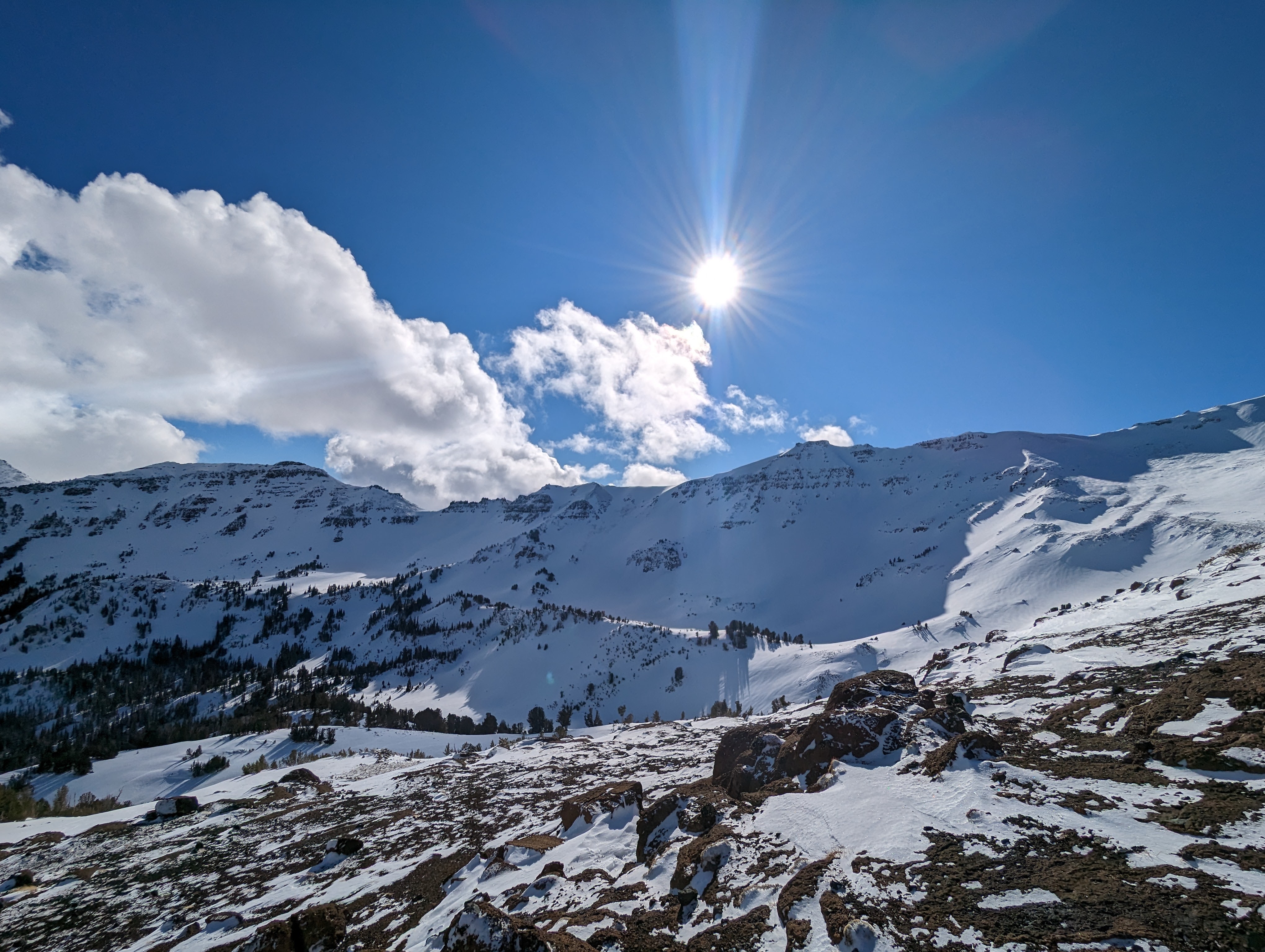
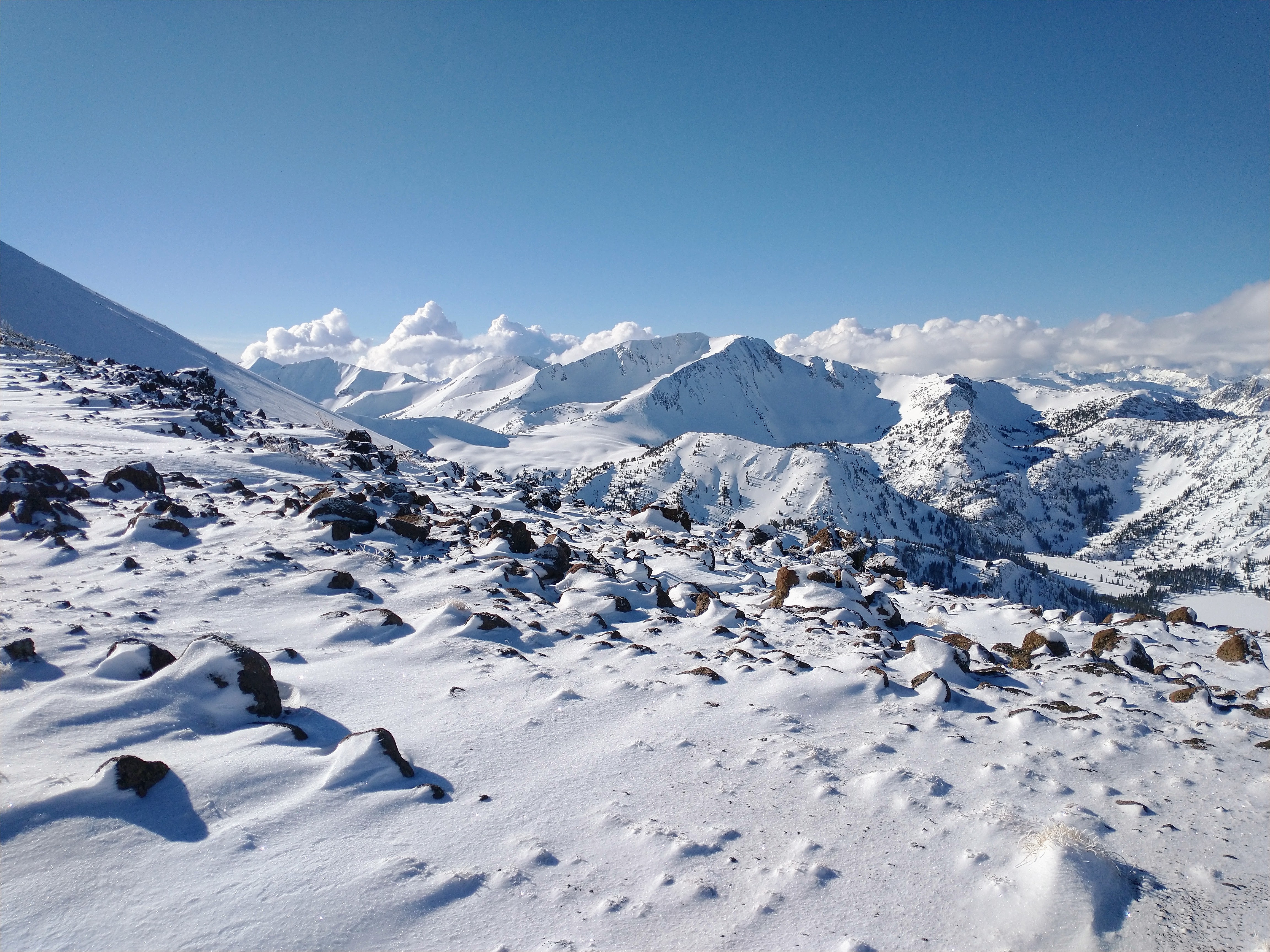
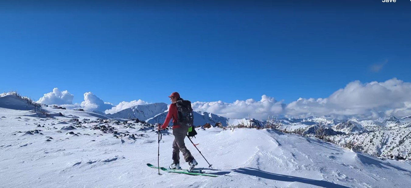
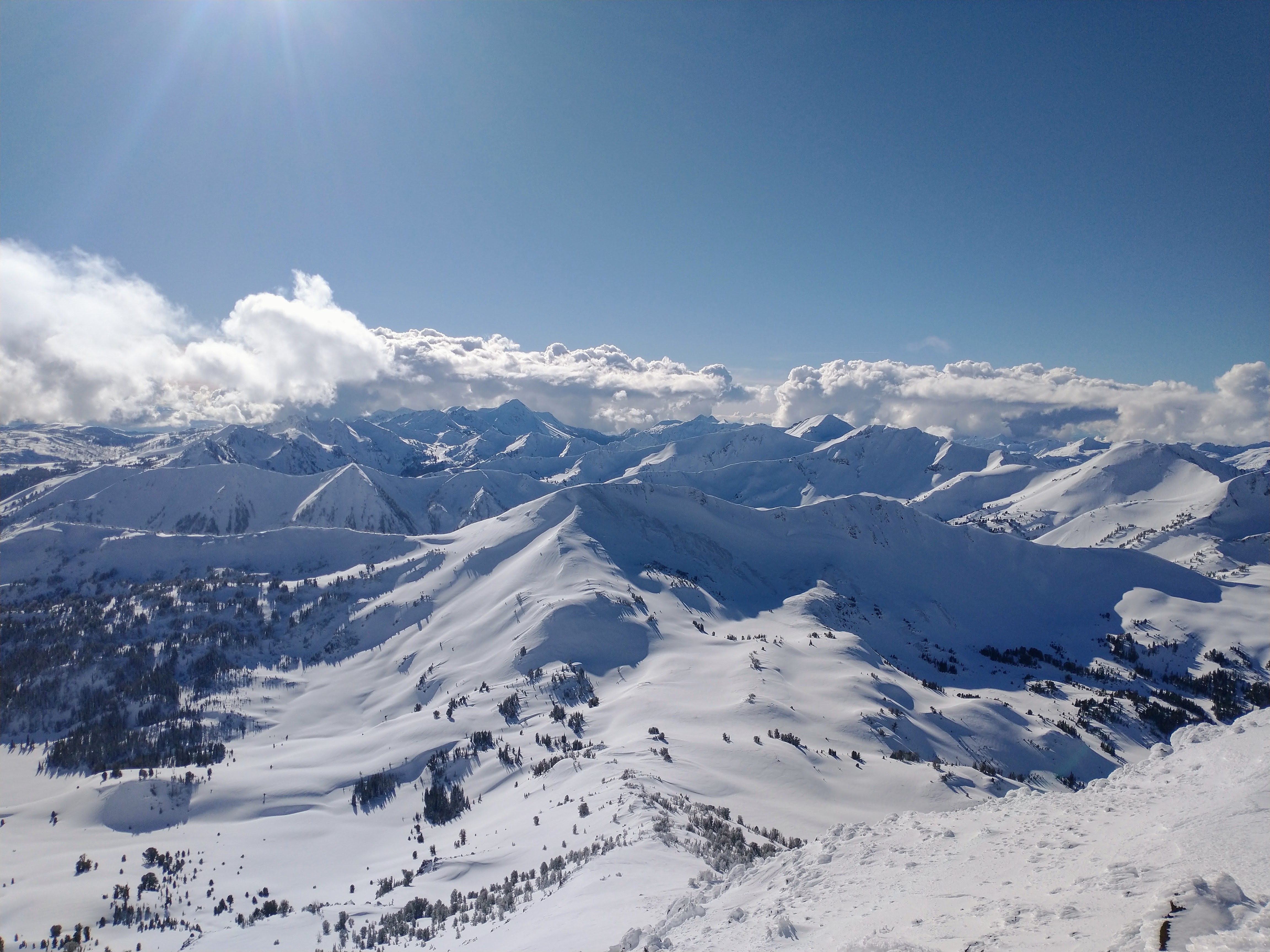
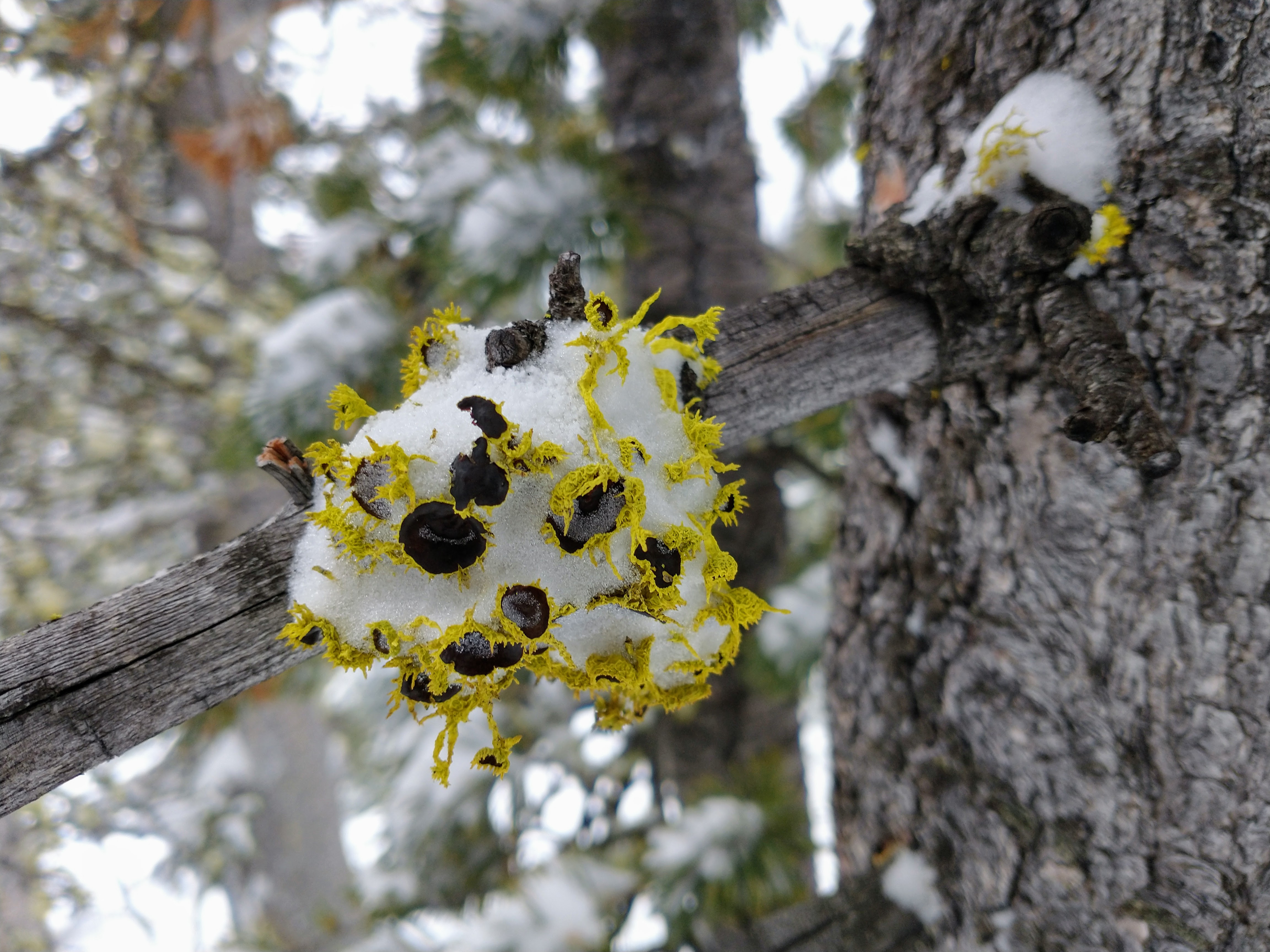
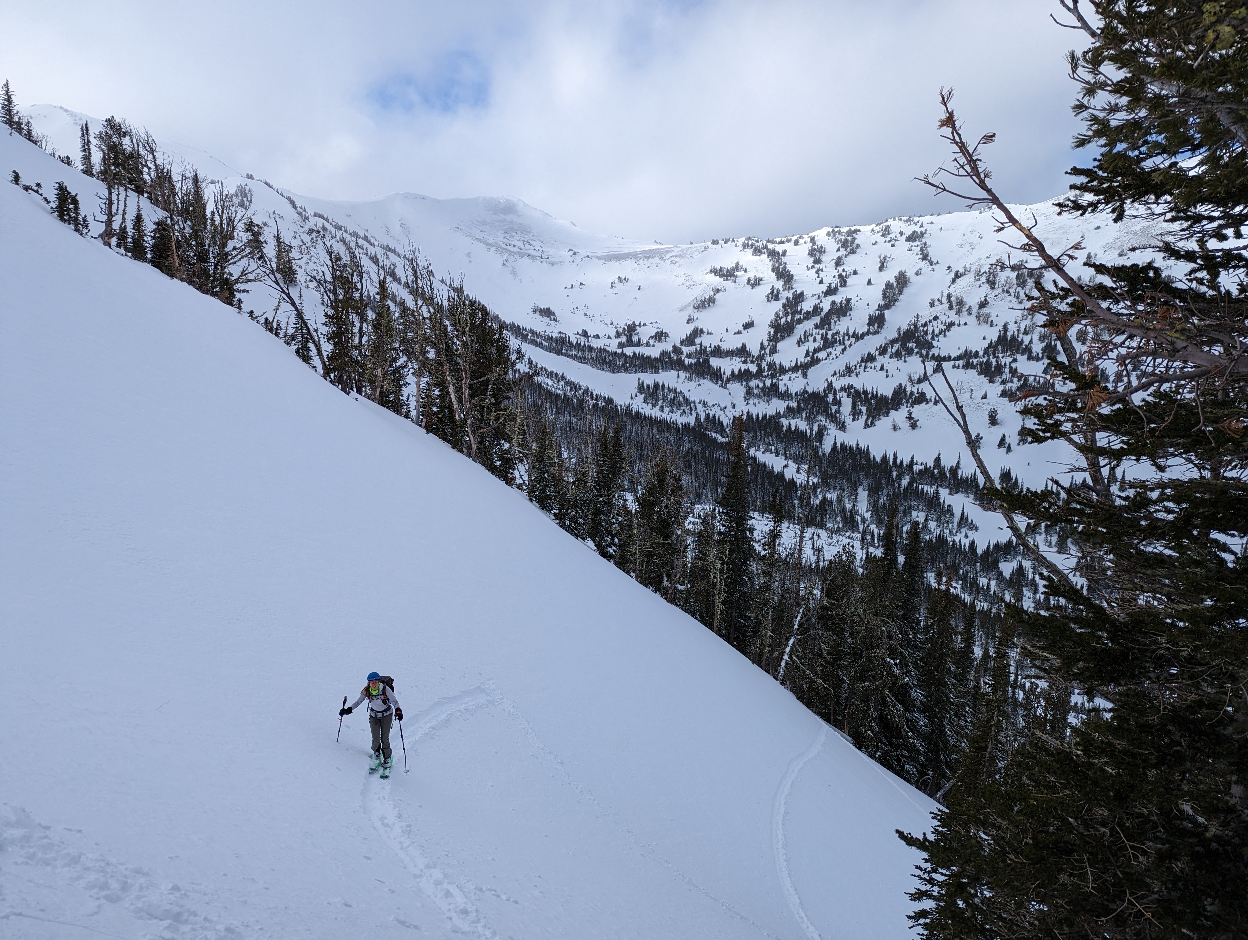
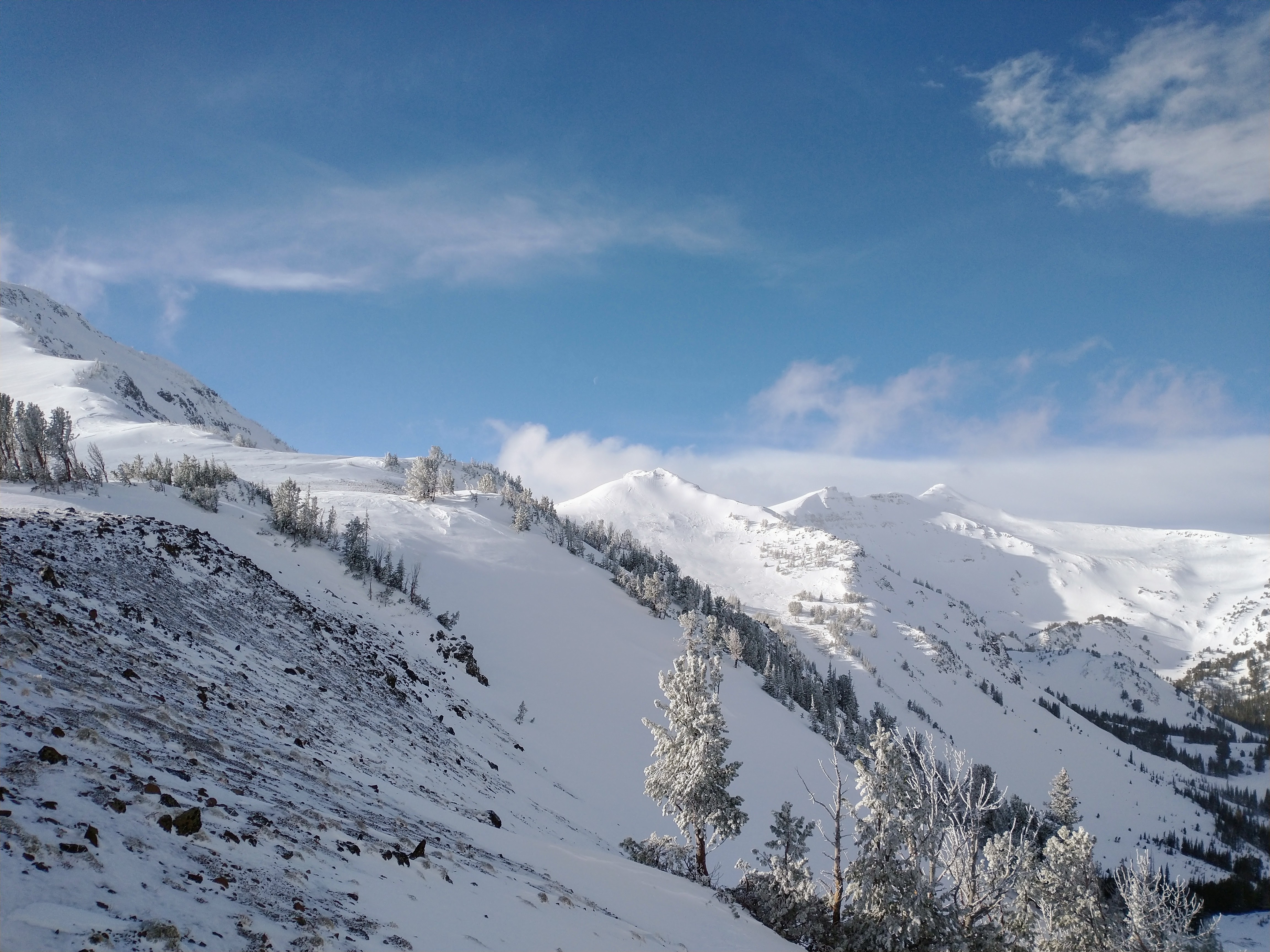
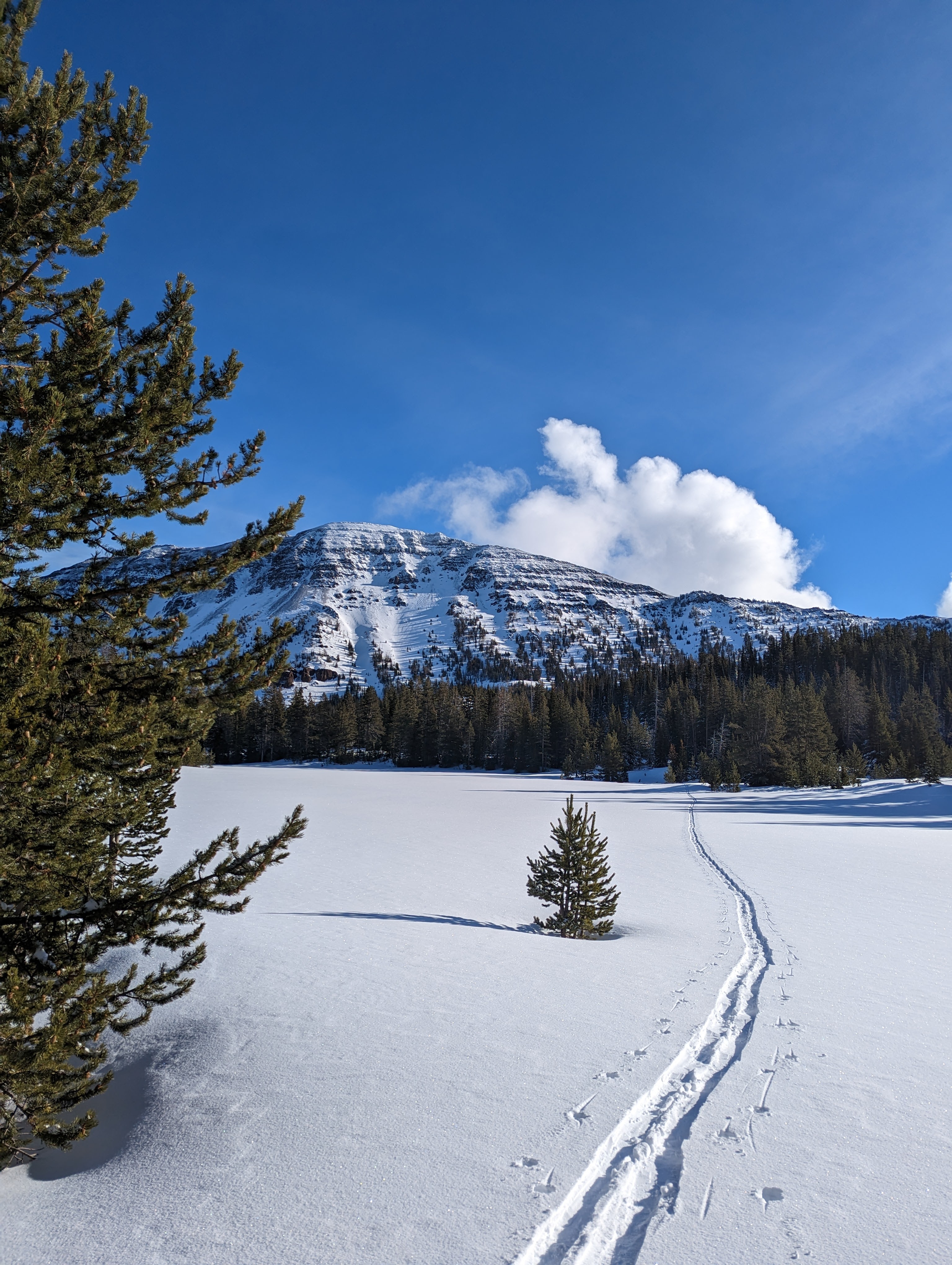
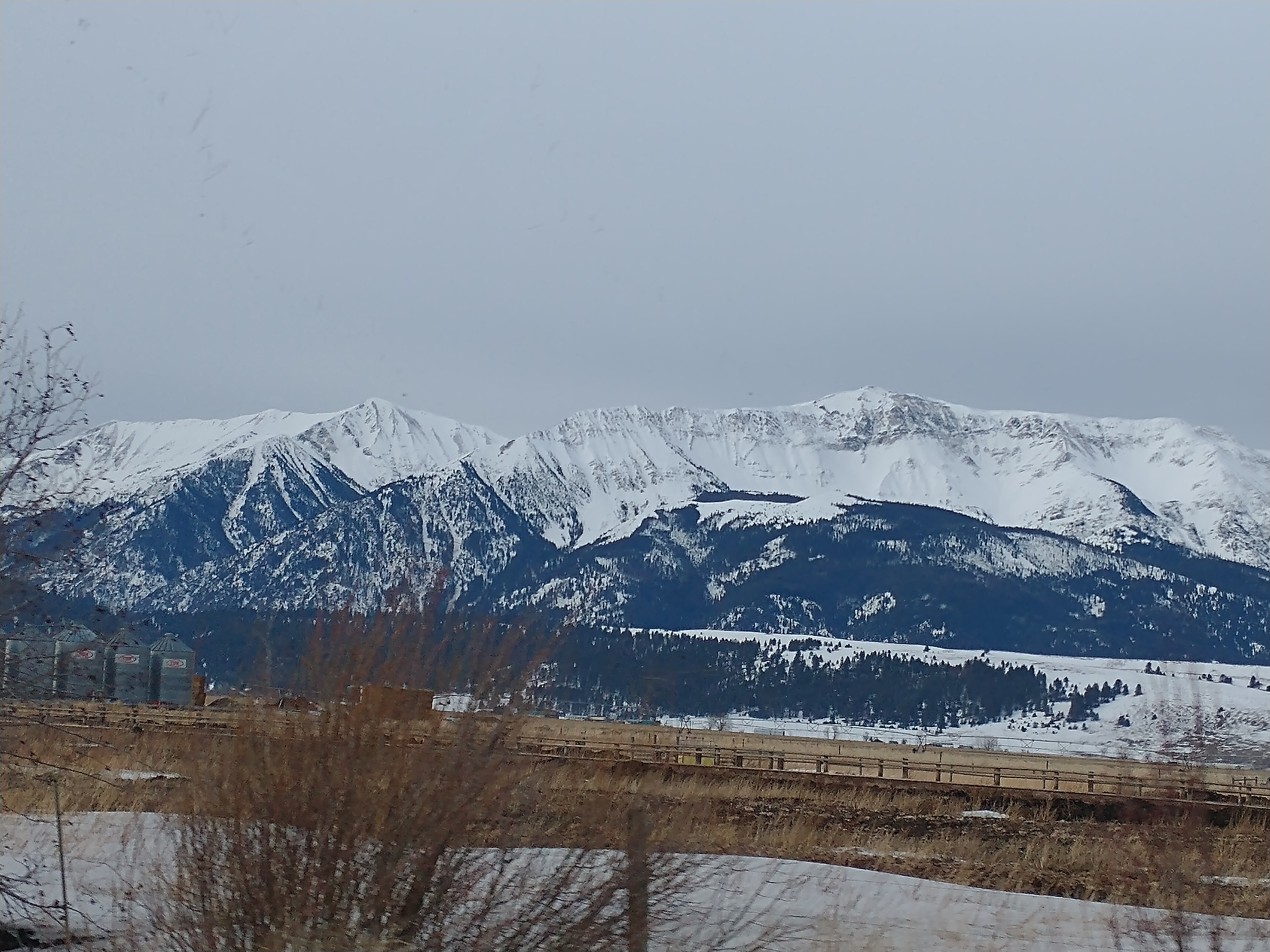
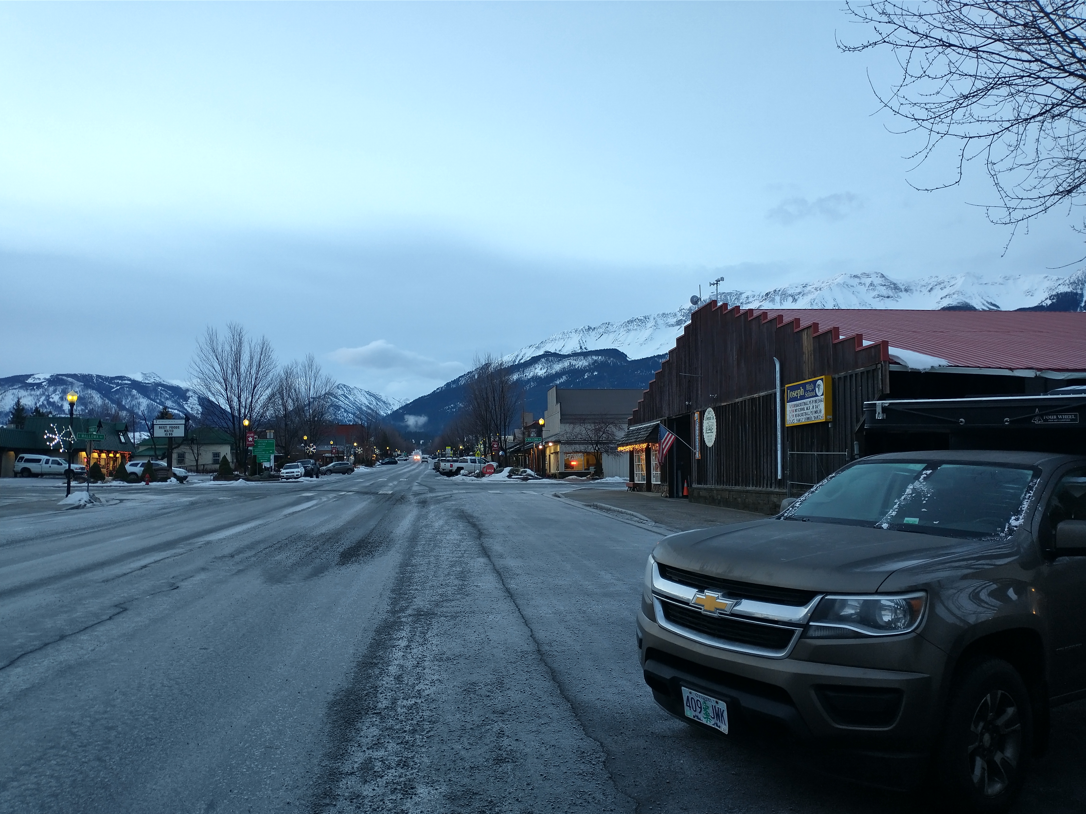
I got back last night from a four-day trip to the yurts (Wallowa Alpine Huts, WAH) in McCully Basin in the Wallowa Mountains in northeast Oregon. There wasn't a TON of information online about the area so I thought I could contribute a tiny bit to what's out there. Here's one useful report from Wildsnow that includes a link to a GPX with some ski runs. Apologies in advance for the weird photo sizing/formatting below. Best I could do without taking hours on it... You might be wondering where this area is. Wikipedia article here for your reading pleasure. I was lucky enough to be invited on the trip with nine other people, knowing only one of them going in. Thank you, @Hoo!!! We were so lucky with snow conditions and weather for this trip. I won't share my entire journal entry about the trip, but here are some highlights: The drive from Seattle to Joseph, Oregon included listening to a very interesting New Yorker podcast about "smoking toad" and then (seriously) almost running out of gas going over the Blue Mountains due to my misjudgment of the distance between towns with gas stations. WHEW. Finally in Joseph, we had dinner at this odd tiny cafe + pet store concept (The Dog Spot) but the food was EXCELLENT. Rotating menu every two weeks; we enjoyed some black mushroom dumplings and dandan noodles... ? Joseph: We got to the house where we were all staying the night before heading into the yurts. After hanging out for awhile, I was poking around the house and I found that there was a door with stairs leading to a garage or basement? I walked down the stairs and... oh, hello, there's a human down here! It was Silas, a young guy working on guide certs, who would be with us for the trip in the next day. Meeting him there was the first surprise of many on this trip. The WAH owner, AKA the yurtmeister, is not known for his communication skills....but I hear he's a fun guy to be around! The next morning, we met the other two guides at a cafe down the street. The lead guide repeated: "It's a FOUR mile skin in! Make sure you bring enough water!" FOUR MILES!?!?!?! 1800' gain! We felt there was a 50/50 chance of us making it to the yurts. My giant backpack weighed 40-45 pounds, including a fifth of whiskey, almost an entire six-pack, about 2.5 pounds of peanut M&Ms, half of a quiche, a couple dozen cookies, a loaf of bread I made, lots of fresh vegetables, my touring pack ...etc etc.. Micah's pack job was beautiful and the bag of Juanita's survived the journey in quite well: We'd learned the day before that we would be getting a snowmobile tow in for about a mile! Packs in a tub behind the snowmachine, in ski mode, it was kind of like waterskiing. I won't name any names, but I don't think it's a coincidence that the two times we had to stop were because someone on split skis fell over... (couldn't help myself). For real, though, @Hooreally showed off his split skiing game this trip; I think his board spent significantly more time in split mode than together on the descents. And so, rising out of the crusty snow up to the consistent soft stuff, we arrived at the yurts (7540'). There were three: a kitchen yurt and two sleeping yurts. The advertised sauna yurt hadn't been constructed in years, it seemed. We were in Eagle Cap Wilderness and the yurts are taken down and put up each year. Yurts had cots, sleeping pads, stocked wood/stoves, the usual ski hut cooking supplies, propane lanterns and stoves, no bleach ?. Open creek hole nearby supplied the water; haven't come down with giardia yet. Kitchen/hangout yurt and really awesome lichen that I will try to identify soon: Due to the deep persistent slab problem and high winds everywhere, we kept the skiing pretty darn mellow. We went on two short tours the afternoon of our arrival, finding variable conditions and then better soft stuff; the next day we skied in somewhat stormy conditions all day with great fast snow and refills all day; and days three and four we lucked out with beautiful weather and poked around a little higher. Sunday, day three, we toured over a sandblasted saddle (8590') on the east side of the basin and down into Little Sheep Basin and skied a couple really fun, longer laps on a NW aspect before heading back over to McCully Basin: Monday, everyone else packed up and left right away, but Micah and I decided to check out things to the west: we toured low-angle slopes up to Bear Mountain (9170'), a very broad and wind-scoured rocky summit, and then after a bit of doubt on my part (we had no pons, axes, whippet) and a couple carries through rocks, we were able to pretty easily take the ridge up to the top of Aneroid Mountain (9700'). The views were STUNNING! I hadn't heard the word aneroid before, so I looked it up: adjective - 1. using no liquid 2. relating to or denoting a barometer that measures air pressure by the action of the air in deforming the elastic lid of an evacuated box or chamber. TMYK! We took a short bonus lap on the way down to the yurts and finally Micah said he was feeling a little worked! On the exit back down into civilization, we had a sometimes-exciting downhill skin out and then a fast ski down and out the snowmobile/ski track and icy road. The six hours back to Seattle went without incident. What a fantastic trip! So lucky. Although I don't describe the other yurt-mates here, it was a great time all around, even after the sun went down. Thank you, Micah!
-
Hey Y'all! Does anyone know of any recent trip reports for the North Cascades, particularly the Eldorado/Hidden Lakes area? Many thanks!
- 1 reply
-
- trip report
- north cascades
-
(and 1 more)
Tagged with:


.jpg.f0693157194133943095b6dabe2c2866.jpg)
