Search the Community
Showing results for tags 'olympic mountains'.
-
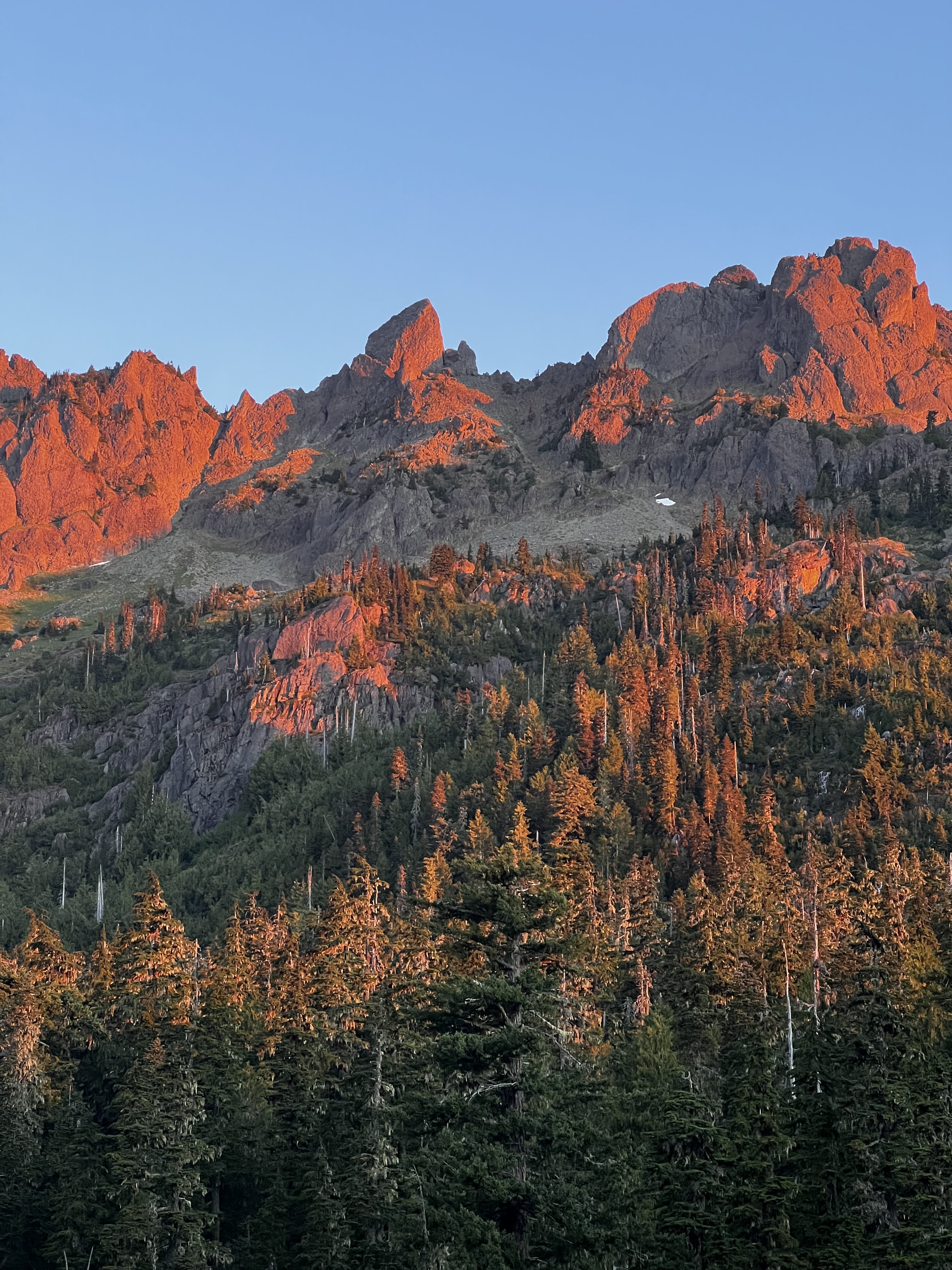
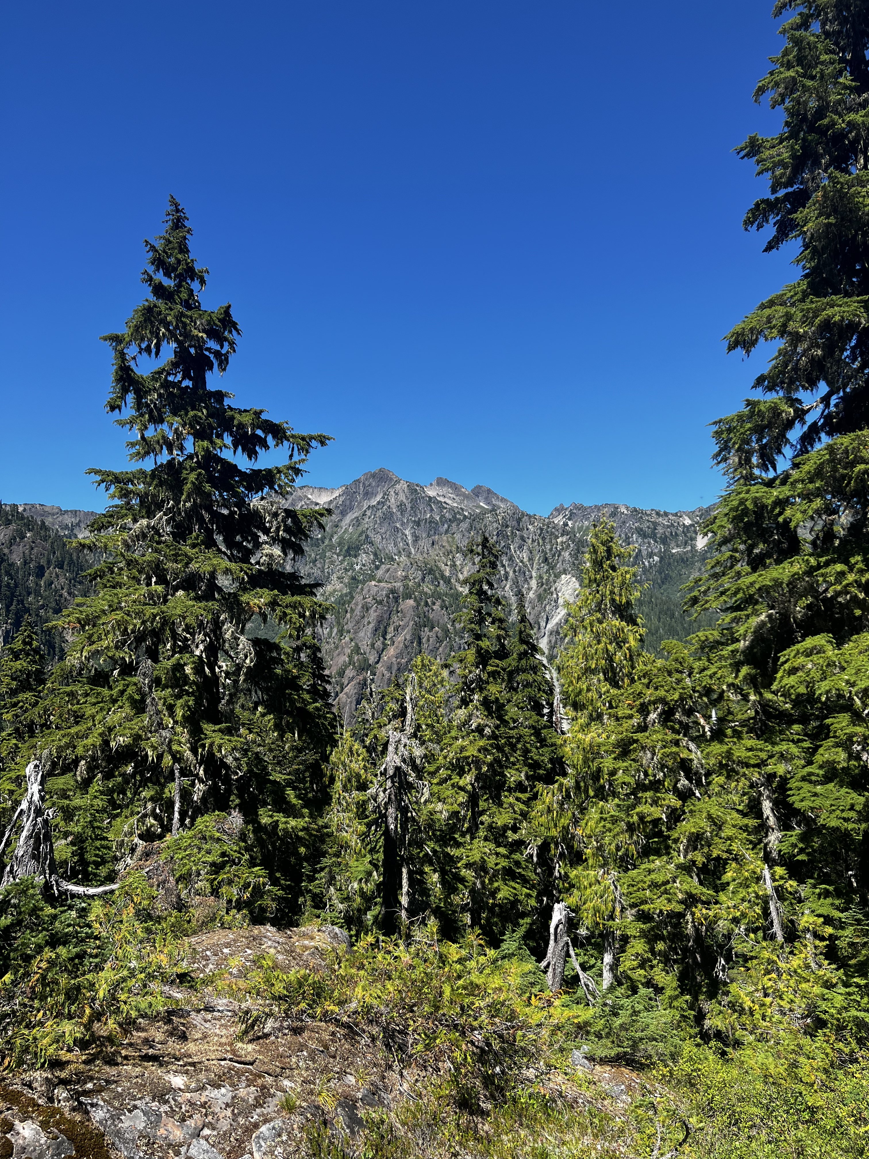
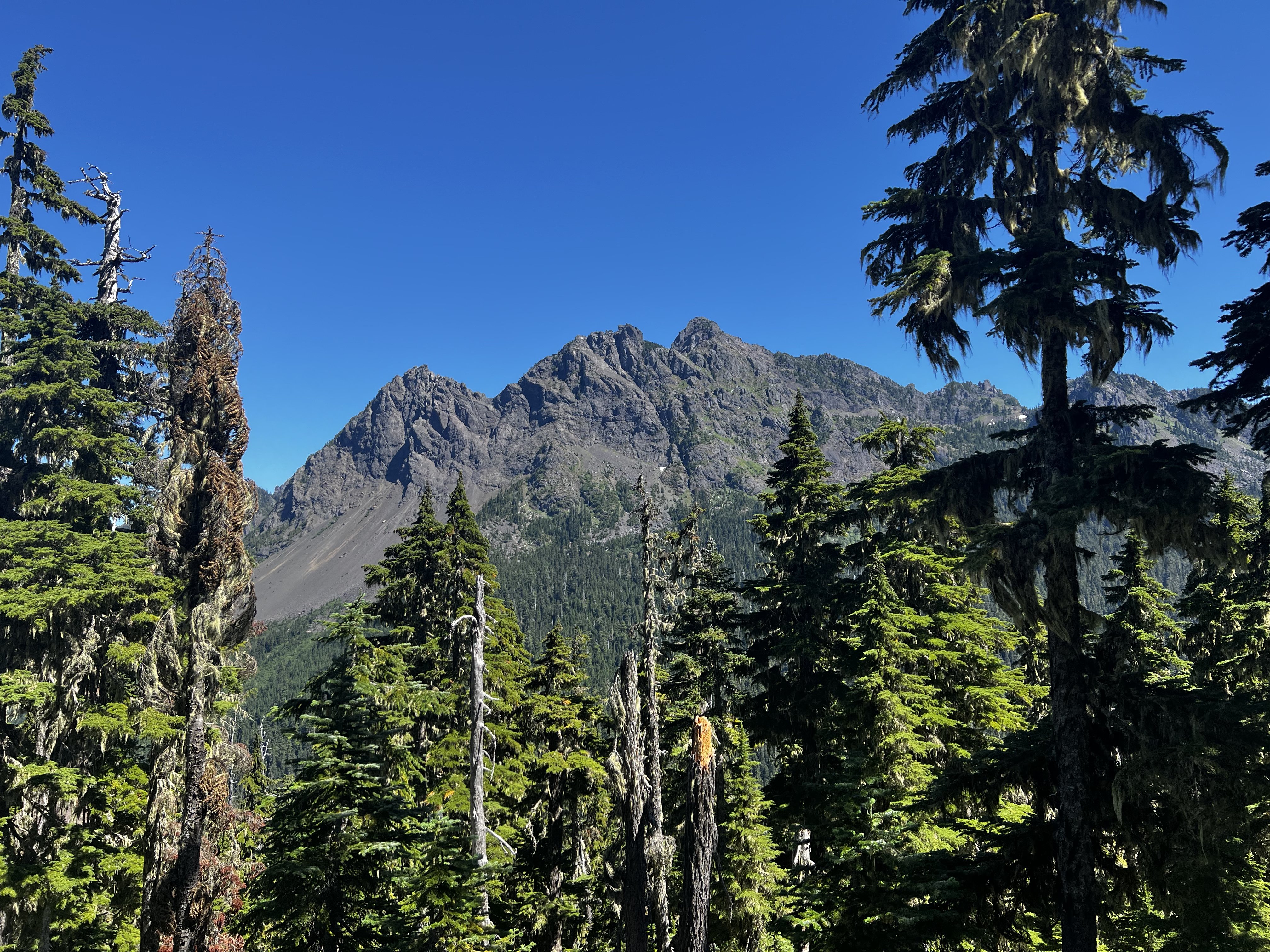
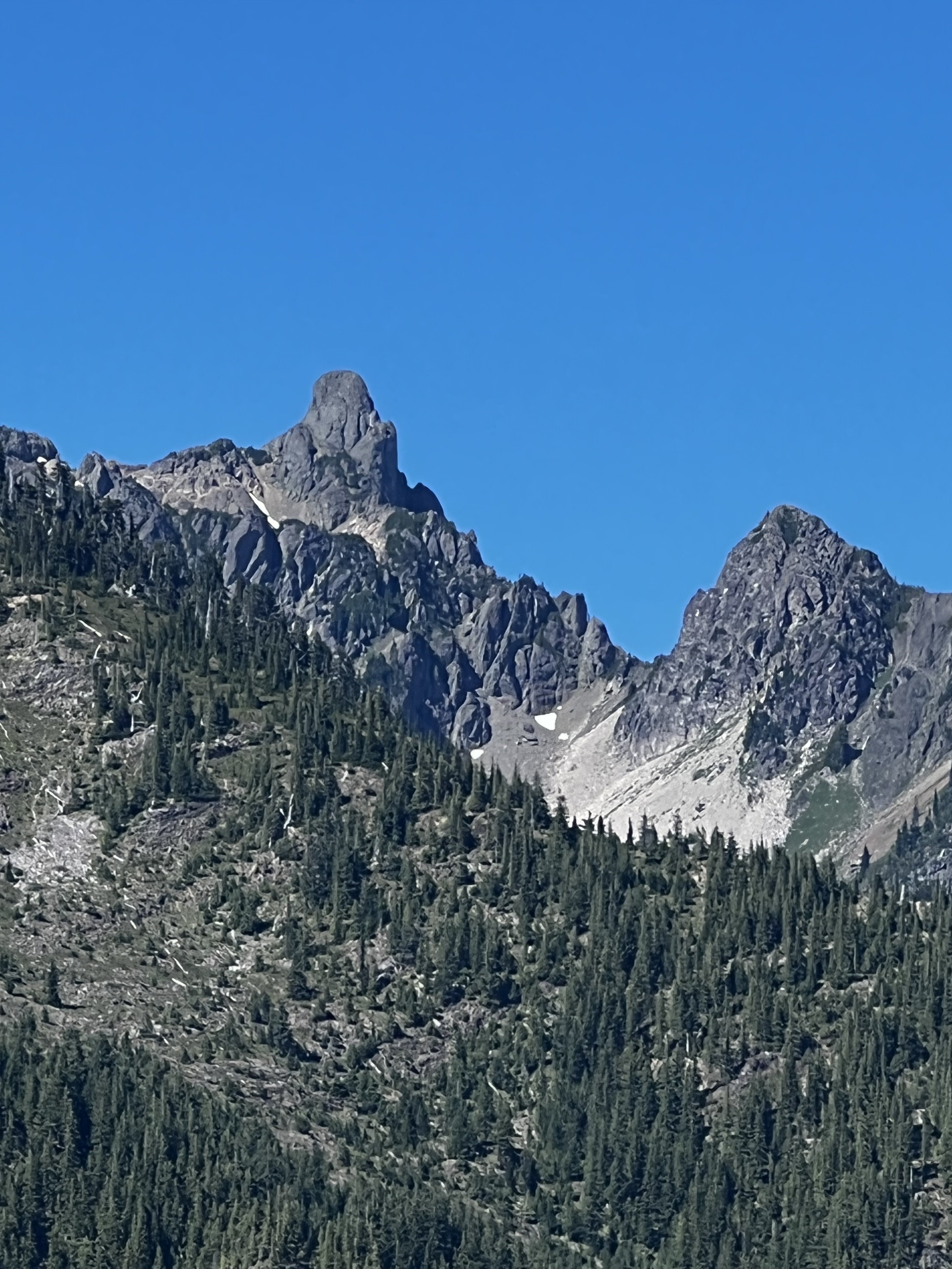
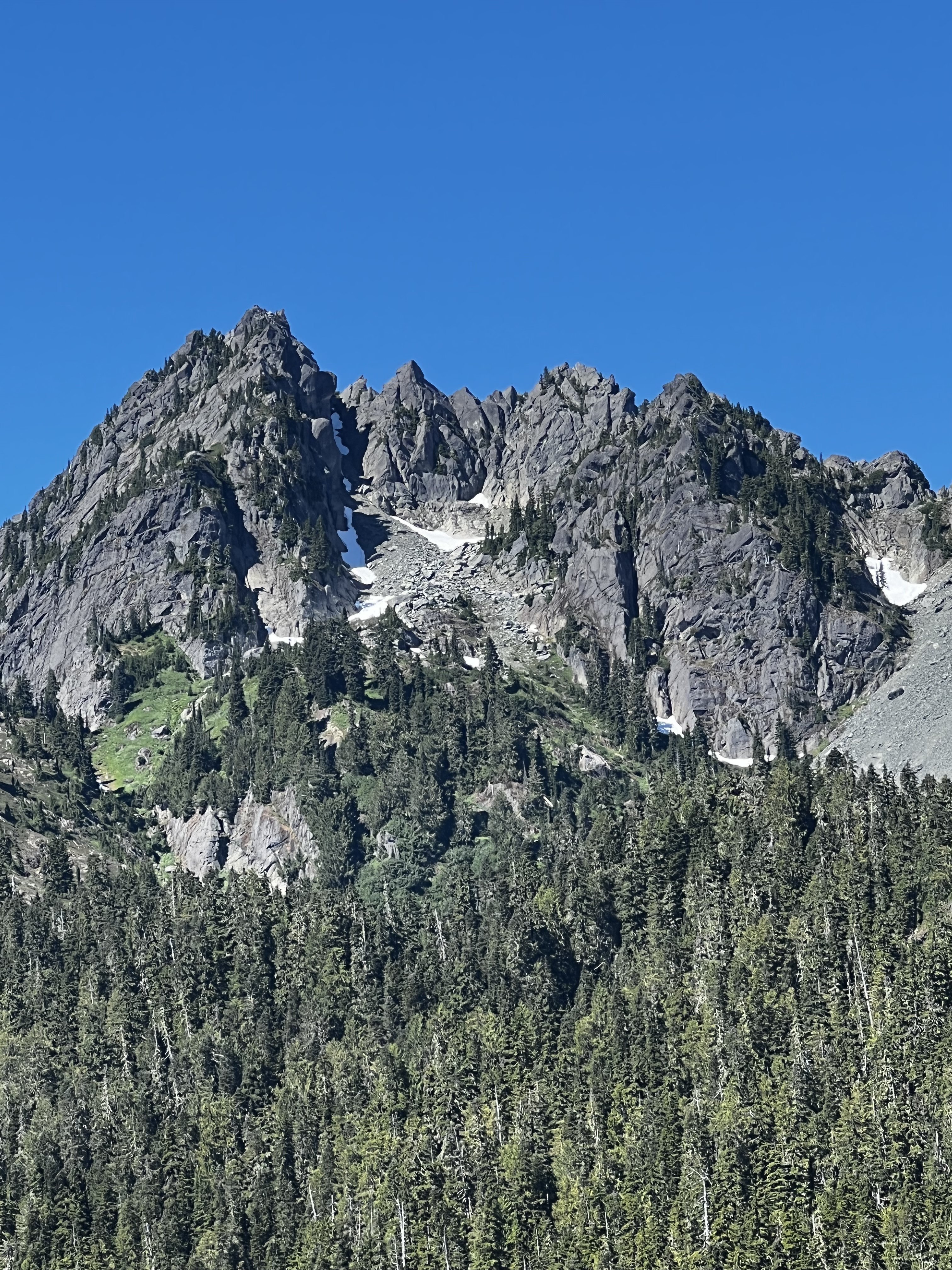
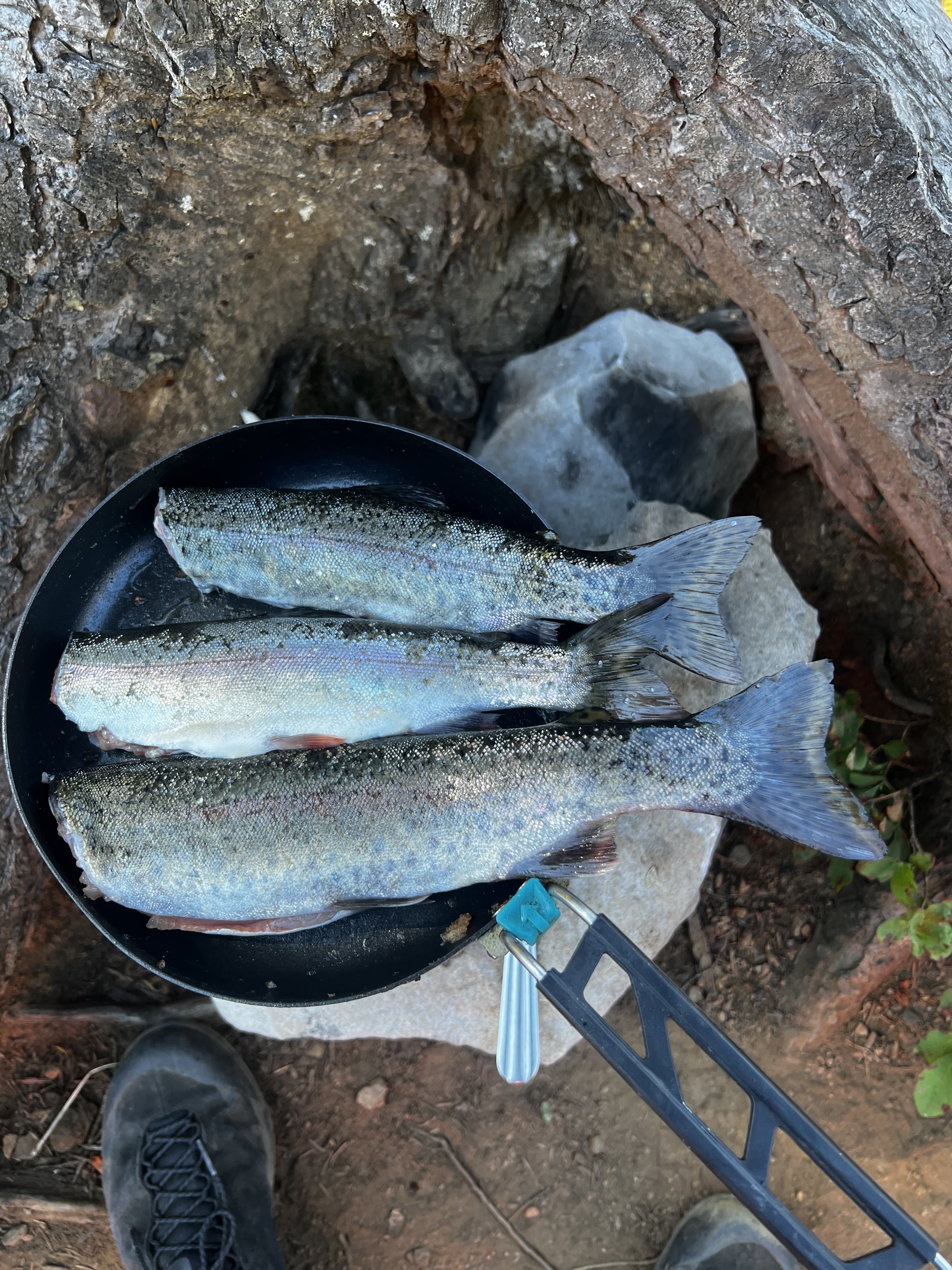
Didn't climb anything, but went up to Mildred Lakes to fish with my son and his friend, who are both in college...and of course Kiba came too. Actually, I hiked up there Friday night, fished Saturday, and then hiked down Saturday afternoon to meet them at the trailhead, and we hiked up that night and fished Sunday morning and then hiked out. The trail in is steep in parts, I've been going up fisherman paths in the Olympics all summer, but this one is stout in parts. All the hikes up were done in the dark, got up there Friday night at 11:30 pm, and with the boys we got to camp just after midnight. Good times. I saw a bear in a tree Friday night. The vistas on the way in gave me some great memories. The views of peaks in the area: Climbing Pershing with @OlympicMtnBoy Climbing Bretheron: Climbing Mt Stone with my friend Steve I think I've climbed Mt Stone at least 3-4 times. One of my favorite scrambles in the Olympics. Climbing Cruiser in "winter" with @Alpinfox the latter being a little laughable that we might think we were the first to get up there in winter, but hey, it was fun non-the-less. I never said I was the sharpest tool and if you know Pax you know he ain't either . See the entry about Cruiser here...I just ordered this book, I have never read it! Lots of interesting info there. "The Bremerton Ski Cruisers" being the name source for Mt Cruiser is one tidbit I learned. I wonder how many times the couloir on the north east side of Lincoln has been skied? See it to the right of the main peak here?: Great success. Thanks for allowing me take my little trip down memory lane. It was a great time up there with the boys. Oh and very cool to see Mildred upper and middle lakes from @JonParker climb of Cruiser this past Friday....the first pic I can see our camp and fishing spot right there.
- 4 replies
-
- 3
-

-

-

-
- olympic mountains
- olympics
-
(and 1 more)
Tagged with:
-
Climb: (TR) Sharpen The Saw-Complete Sawtooth Traverse FA- Date of Climb: 8/9/2004 Trip Report: This is a quicky tr that tells of an adventure ,whereby David Parker and myself believe we were the first to traverse the entire Sawtooths from Mt. Alpha to Mt Lincoln. Aside from the main 14 summits we also did 5 other minor pinnacles on this amazing traverse. It took us 3 days in all and covered much technical ground . I will do a longer and more detailed tr later. Cheers ,Wayne and David
-
first ski descent [TR] The Brothers - South Couloir 5/6/2007
AJScott posted a topic in Olympic Peninsula
Trip: The Brothers - South Couloir Date: 5/6/2007 Trip Report: Had a blast on the Brothers for cinco de mayo, even drank snow margaritas on the summit! Snow starts at the climbers camp and the fire that burned last year affects the climbers trail a little but we stayed on the avalance gully and it was fine. This was the view from the summit when we first arrived... But the clouds parted for our decent thankfully: If you ski the hourglass feature on the way down its a really plumb ski line. Straight from the summit all the way down to the valley. Gear Notes: skis and margaritas -
Trip: Mount Olympus FKT - Blue Glacier Date: 7/16/2009 Trip Report: I climbed Mount Olympus in 11 hours, 6 minutes round trip. This is the new fastest known time (FKT) on the mountain, breaking my own FKT from July 31, 2007 by 24 minutes. I went solo and the climb was unsupported. I started at 3:10 am and finished at 2:17 pm (miraculously, the same real time that I finished in 2007). Aside from a few minor differences (ladder downclimb on avalanche chute before Glacier Meadows, softer and slower snow conditions), everything from the weather to route conditions were essentially the same as in 2007. Sweet shot for perspective. Location (Elevation): Time Elapsed / Split / Real Time Trailhead (578 ft) : 0 / 0 / 03:10 5 Miles (800 ft) : 46:10 / 46:10 / 03:56 (5 Mile Island) 9.1 Miles (950 ft) : 1:26:20 / 40:09 / 04:36 (Olympus Guard Station) 13.1 Miles (1,370 ft) : 2:09:01 / 42:40 / 05:19 (Hoh River Bridge) 15.1 Miles (2,558 ft) : 2:37:26 / 28:25 / 05:47 (Elk Lake) 17.5 Miles (4,400 ft) : 3:19:49 / 42:23 / 06:30 (Glacier Meadows) Glacier Moraine (5,000 ft) : 3:53:36 / 33:47 / 07:04 Arrive Summit (7,969 ft) : 5:49:53 / 1:56:16 / 09:00 Leave Summit (7,969 ft) : 6:06:44 / 16:51 / 09:17 Glacier Moraine (5,000 ft) : 7:29:26 / 1:22:42 / 10:39 17.5 miles (4,400 ft) : 7:55:48 / 26:21 / 11:06 (Glacier Meadows) 15.1 Miles (2,558 ft) : 8:25:01 / 29:13 / 11:36 (Elk Lake) 13.1 Miles (1,370 ft) : 8:47:52 / 22:51 / 11:58 (Hoh River Bridge) 9.1 Miles (950 ft) : 9:26:59 / 39:07 / 12:37 (Olympus Guard Station) 5 Miles (800 ft) : 10:12:02 / 45:03 / 13:21 (5 Mile Island) Trailhead (578 ft) : 11:06:53 / 54:51 / 14:17 Comparison: 2009 vs. 2007 (difference) 5 miles: 46:10 / 42:16 (+3:54) 9.1 miles: 1:26:20 / 1:22:46 (+3:34) 13.1 miles: 2:09:01 / 2:08:43 (+0:18) 15.1 miles: 2:37:26 / 2:44:23 (-6:57) Glacier Moraine: 3:53:36 / 4:10:12 (-16:36) Arrive Summit: 5:49:53 / 5:55:20 (-5:27) Leave Summit: 6:06:44 / 6:17:14 (-10:30) 15.1 miles: 8:25:01 / 8:48:51 (-23:50) 13.1 miles: 8:47:52 / 9:08:50 (-20:58) 9.1 miles: 9:26:59 / 9:58:24 (-21:25) 5 miles: 10:12:02 / 10:38:58 (-26:56) Trailhead: 11:06:53 / 11:30:54 (-24:01) The glacier is generally in good shape with the route through Crystal Pass impediment-free. However, a large snowbridge just before Crystal Pass might be vulnerable if this hot weather continues. Also, the summit block is easily accessible - no moat has formed like last year. The primary goal was to go under my time from 2007, which I accomplished, but I thought it would be nice to go sub 11 hours. With 13 miles to go, there was still a chance - I would have to go 10 min/mile pace, a tough task after 9 hours of moving hard. With 5 miles to go, I acknowledged to myself that sub 11 was out of reach and my tank was running low so I was just concerned with finishing it out. Despite the fatigue at the end, I felt a lot better than in 2007. Sub 11 hours is within my capabilities for next time, but less than 10 hours seems highly unlikely for me. Mount Olympus has spectacular scenery and I did not sacrifice photography, which is one of my favorite parts of adventure running - here is a collection of some photos and video clips (many are similar to 2007): West Peak and Crystal Pass from Snow Dome [video:youtube] The Valhallas Mount Tom Strait of Juan de Fuca framed by Mount Carrie and the High Divide Valhallas framed by West Peak and False Summit Summit block Direct route up the summit block is falling out of shape, but it still looks doable Terminus of the Blue Glacier from Snow Dome. Blue Glacier Panorama The party of seven climbers were great subjects. Wide panorama from the Moraine [video:youtube] [video:youtube] Gear Notes: Crampons, Ice Axe, SaltStick electrolyte caps Approach Notes: Trail in great shape - not even any mud in the rainforest and no fording of streams. Park crews also did a great job brushing out the section between Elk Lake and Glacier Meadows. A ladder + rope is installed to get past steep slide area just before Glacier Meadows.
- 9 replies
-
- speed ascent
- fkt
-
(and 2 more)
Tagged with:
-
speed record [TR] Mt. Olympus Speed Record - 7/31/2007
off_the_hook posted a topic in Olympic Peninsula
Trip: Mt. Olympus Speed Record - 11.5 hours Date: 7/31/2007 Trip Report: I climbed Mount Olympus in 11 hours, 30 minutes round trip. As far as I know, this is the new speed record on the mountain. I went solo and the climb was unsupported. I started at 2:46 am and finished at 2:17 pm - 45 miles and around 8,000 ft of gain. I have been aspiring to speed climb Mount Olympus for some time so it was great to finally get it! I thought I could climb the mountain in 14-15 hours and the idea was to run 6 mi/hr pace for the first 12 miles. I basically stuck to the plan for the first 12 miles (I was a little fast, especially at the beginning), but went a lot quicker then anticipated for the rest of the climb, especially the glaciated parts. I think the climbs in the high Sierra at 13k+ ft helped. I really surprised myself when I reached the summit only 5 hours, 55 minutes after starting! At this point I knew I could go under 12 hours roundtrip. Location (Elevation): Time Elapsed / Split / Real Time Trailhead (578 ft) : 0 / 0 / 02:46 5 Miles (800 ft) : 42.16.63 / 42.16.63 / 03:28 (5 Mile Island) [5.7 Miles : 49.57 / 7.40.89 / 03:36] 9.1 Miles (950 ft) : 1:22.46 / 32.49.05 / 04:08 (Olympus Guard Station) [12.4 Miles : 1:57.53 / 29.00.89 / 04:44] 13.1 Miles (1,370 ft) : 2:08.43 / 10.49.89 / 04:54 (Hoh River Bridge) 15.1 Miles (2,558 ft) : 2:44.23 / 35.40.22 / 05:30 (Elk Lake) 18.5 Miles (5,100 ft) : 4:10.12 / 1:25.48 / 07:26 (Blue Glacier Moraine) Snow Dome (6,600 ft) : 5:05.11 / 54.59.13 / 07:51 Arrive Summit (7,969 ft) : 5:55.20 / 50.08.86 / 08:41 Leave Summit (7,969 ft) : 6:17.14 / 21.53.89 / 09:03 Snow Dome (6,600 ft) : 7:11.05 / 53.51.21 / 09:57 18 Miles (4,500 ft) : 8:08.02 / 56.56.44 / 10:54 (Tarn Below Moraine) 15.1 Miles (2,558 ft) : 8:48.51 / 40.49.22 / 11:35 (Elk Lake) 13.1 Miles (1,370 ft) : 9:08.50 / 19.58.88 / 11:55 (Hoh River Bridge) 9.1 Miles (950 ft) : 9:58.24 / 49.34.06 / 12:40 (Olympus Guard Station) 5 Miles (800 ft) : 10:38.58 / 40.34.13 / 13:25 (5 Mile Island) Trailhead (578 ft) : 11:30.54 / 51.55.75 / 14:17 I drove up to the trailhead Monday evening, taking the southern route from Seattle through Olympia and Aberdeen (4:30 total driving). I was asleep by 9:30 pm with the alarm set for 2:30 am. A quick pack up, snack, and drink, and I was off. Passing the first couple mile markers made the task seem daunting, but I soon found myself in a great running rhythm that carried me to the 12.4 mile marker. This marker is right before the first hill, where the running stopped. I powered up the hill to Elk Lake, Glacier Meadows, and the Blue Glacier Moraine. Mount Olympus doesn’t make an appearance until the crest of the moraine is reached so it is a very dramatic first appearance. I put crampons on at the bottom of the moraine, which were essential at this time in the morning (7:20 am) because the glacial ice was super slick like an ice cube. The neve up to snow dome was perfect and I quickly caught up to a party of 6 at the Snow Dome flats. This is the only photo of me not taken by me or the self timer. There were a few crevasses to hop over and I was soon atop the false summit. For the final scramble up the true summit I ascended the ledges on the northeast side, beginning before the steep snow pitch. These ledges were class 2-3 until an easy class 4 move brought me to more easy scrambling and the summit. Famous series of "wavy" snow ridges. I enjoyed the gorgeous weather on the summit for 22 minutes, taking in views in all directions, including the Valhallas, the Coast Range, the Pacific Ocean, the Cascades, etc. Valhallas Close-up On the descent, I found the class 3 "Eagles Nest" route on the south side (avoids the 4th class move), which is not obvious on the ascent. Blue Glacier from Snow Dome. Self-timer photo turned out pretty good...yeah! Sweet icefalls! Panorama from the Blue Glacier flats. I stopped to take many photos on the way down the glacier and took a long break at a tarn below the moraine to pack up my gear, hydrate, and eat. Terminus Once on the move, I was back in a rhythm and felt great. Somewhere between Hoh River Bridge (13.1 miles) and Olympus Guard Station, however, I started to feel the first signs of tiredness so I took a break at the Guard Station to refortify myself. The final 9 miles went well and I was able to maintain around 10 min per mile pace all the way till the end. I was quite tired, but not destroyed. It was nice to chat with the ranger at the visitor center whom I spoke with before the climb as well as the backcountry ranger below Elk Lake. I came away with no blisters, but I did come through with an idiot move by glissading into a shaded (icy) patch resulting in a scraped butt - ouch! 7 hours after standing atop Olympus my legs were in the cold waters of the Pacific Ocean. What an awesome climb! Gear Notes: Ice axe, crampons, energy bars, gu, extra layer. See California section for training. Approach Notes: Trail in fabulous shape with no impediments. 39 miles of trail roundtrip (I ran/jogged about 30 of those miles) -
Trip: Valhallas -> Mt. Olympus --> Bailey Range --> High Divide Date: 7/5/2007-7/12/2007 Trip Report: My friend Douglas and I just completed a 77-mile, 8-day traverse through the most rugged and beautiful parts of the Olympic Mountains. We began with a 2-day bushwack up the South Fork of the Hoh River and up the steep ridge just north of Valkyrie Creek, which brought us to a range of peaks to the southwest of Mount Olympus known as the Valhallas. This area is probably only accessed by a couple parties a year. The Valhallas appear like mineature Bugaboos, although the climbing is a bit crumblier (although still plenty fun!). After a day of climbing in the Valhallas (a day of rain – our only day of poor weather the entire trip - prevented more peak-bagging), we traversed over to Olympus via the rarely travelled Hubert Glacier. We crossed over the summit, and headed for Bear Pass at the south end of the Bailey Range. Two days of traversing the Bailey Range brought us to the High Divide. On the eighth day of our adventure we hiked out the North Fork of the Hoh River (on a trail!). I posted some photos and a more detailed description on my climbing webpage: http://sabegg.googlepages.com/valhallas Enjoy! Approach Notes: prepare for a physical challenge!!
-

first winter ascent Mt Olympus, First Winter Ascent
Lowell_Skoog posted a topic in Olympic Peninsula
I've long been puzzled by the lack of information about the first winter ascent of Mt Olympus. In the Climber's Guide to the Olympic Mountains (3rd Ed., 1988, p. 220), attempts by Pete Schoening and friends in the late 1940s and early 1950s are mentioned. These attempts are documented in the Mountaineer Annuals (1948, p. 54, and 1959, p. 63). In one attempt, Schoening reached the foot of the summit rocks, only to find them so coated in rime as to be unclimbable given the group's limited equipment. The Climber's Guide mentions the International Geophysical Year (IGY) party led by Ed LaChapelle, which wintered on the Snow Dome in 1957-58. It says they did not climb the main peak of Olympus. The guide concludes: "In all likelihood, Olympus has now been climbed. Unfortunately, there is no record." Well, that's not right. In the March 1965 issue of Summit magazine (p. 18) Richard Springgate writes that on New Year's Day (presumedly 1965) he, with John Norgord, Jan Still and John Wells, all members of the University of Washington Climbing Club, made the first winter ascent of Mt Olympus. They approached on foot via the Hoh River, climbing to the summit from the IGY hut during their fifth day out. How could the authors of the Olympic Climber's Guide have missed this? Is there a later edition of the guidebook where this has been corrected? The 1965 climb may deserve credit as the first winter ascent of Olympus made conventionally from the Hoh Ranger Station. But, in fact, it was not the first winter climb. In a 1997 interview with Stella Degenhardt of the Mountaineers History Committee, Jim Hawkins of the IGY team revealed that he climbed the true summit solo on January 5, 1958, during one of his stints at the research station. We was accompanied by Roger Ross, a U.W. meteorology student who, according to Hawkins, "was not a mountain person at all and would have no part of it." If you know anything more about the history of winter climbing on Mt Olympus, or any reason why the Hawkins and Springgate climbs should not be recognized as pioneering ascents, let me know.- 6 replies
-
- first ascent
- olympic mountains
-
(and 1 more)
Tagged with:


