


cluck
-
Posts
517 -
Joined
-
Last visited
Content Type
Profiles
Forums
Events
Posts posted by cluck
-
-
We know from telemetry data and personal accounts that there were very strong winds coming from the southwest on the Friday that these guys were supposed to summit as well as the following Saturday. It seems these guys had an accident on the route that resulted in a broken arm which would have slowed them down considerably. High in the NF gullies, the best option for self-rescue is to finish the route and descend via an easier route (Cooper Spur or South Side). But, with an injured member the going must have been very slow. Perhaps they didn't reach the summit until very late on Friday. They would have been met with very high winds out of the southwest and it seems logical to me that one might seek shelter on the northeastern aspect (where the cave was found).
-
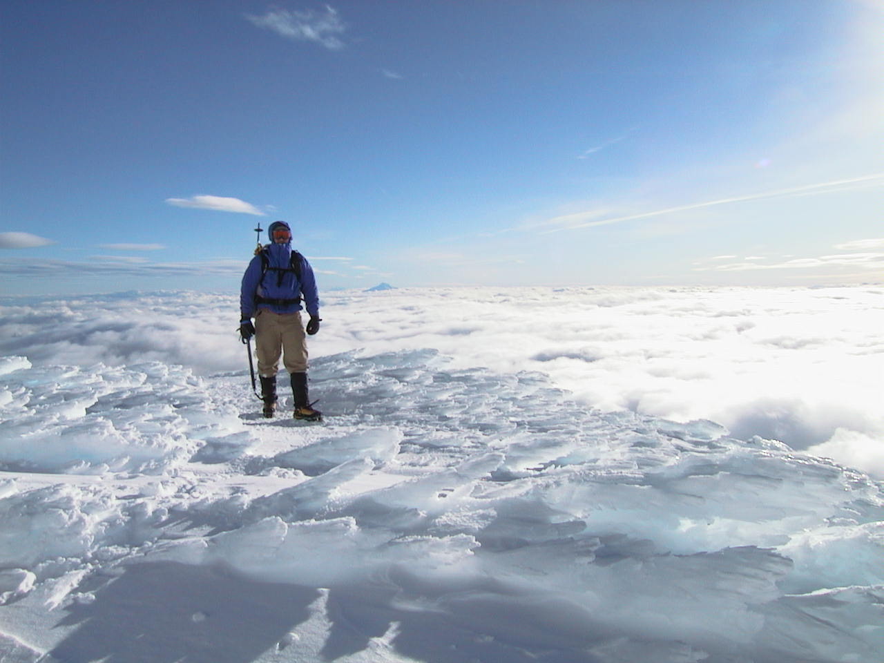
Here an inspiring pic of Mount Hood during the winter. You experience more of life in 1 minute in a place like this than in a week down in the city. By comparison, regular life is mind-numbingly dreary. Hence the addiction.

I can only imagine how many moments such as this Kelly, Brian, and Nikko must have experienced. We should all be so lucky.
Cheers, fellas.

-
The Crag Rats and PMR mountain rescue teams are made up of local climbers who know the mountain intimately. We have been involved with the sheriff from day 1.
-
Wow - 30 new pages since I last signed on! I'm way to tired to read them all tonight so I'll just pass on a few notes from the south side from this weekend.
Saturday was the first day we could finally do a thorough search of the entire mountain. Our hope was that someone would pop out of a snow cave and we'd spot them and be able to rescue them. We positioned ourselves and our equipment to be in position for a rescue if someone found these guys. Obviously, this did not happen.
Our secondary goal for Saturday was to check out the upper mountain and see if it would be possible to push a team up to the summit on Sunday. We checked avi conditions (scary, but doable) and tried to establish a camp at Triangle Moraine (but couldn't due to high winds and extremely cold temps). A team was able to make it up to the hogsback but had to dig in and hide in a snow cave (-5 degrees F and 30 mph winds). The cold yesterday was brutal and several rescuers got frostnipped on fingers, toes, and faces.
Today we shifted modes a bit. We learned that some clues had been spotted just below the summit on the north side so we focused all our efforts on getting teams onto the summit. A team of 2 made it up from the South Side and met several more as they were lowered by helicopter. They only had 2 hours of daylight to search the entire summit but were able to find a lot of clues including the obvious (and unfortunate) big clue. They couldn't positively identify the person we found because they couldn't find any wallet or anything in the 15 minutes or so they had before it got dark. There simply wasn't time to to a recovery today so they marked the location and I'm sure they'll return tomorrow (weather permitting, of course) to complete the recovery and follow up on the rest of the clues.
Now I'm going to take a long, hot shower and then sleep for about a week.
-Scott
PS: Thanks very much everyone for respecting the closure of the upper mountain and staying out of our way. It really helped us out a lot and we really appreciate it.
-
Don't worry. The searchers & sheriff have what I believe to be a fairly accurate and consistant understanding of events. The multiple news agencies just tend to get a bit confused with the details. Most reporters aren't climbers and don't know much about the mountain. They're just doing their best to interpret the information they get from the sheriff or overhear from searchers and much is lost in the translation. Most don't know the difference between Cooper Spur Inn (down by SAR base), Cloud Cap Inn (up at 5600 feet), Cooper Spur Shelter (rock shelter just above tree line), Tilly Jane trailhead (also down by SAR base), or Tilly Jane Cabin (up near Cloud Cap).
That youtube video Elleth linked to is actually quite accurate depiction of the topography of the north side. I'm impressed.
-
Thanks, MH - your post is spot on. The sheriff is going to have his hands full this weekend coordinating the efforts of the many MRA and military teams up there. Believe me, there will be a veritable army of trained, competent, well rested rescuers attacking the mountain from all sides (avalanche conditions permitting).
While I appreciate everyone's best intentions and frustration, hoards of good samaritans stomping around the mountain would simply get in the way and make it harder for us to do our work. Or worse, someone might trigger an avalanche and take out a rescue team.
Stay home and keep the positive vibes flowing. You ARE already helping by keeping spirits up and giving much-needed encouragement to friends and family of these guys.
-
Check out the weather forecast for Timberline:
Avalanche Warning
Blizzard Warning
High Wind Warning
Flood Warning
It's like armageddon up there right now. We're hoping the weather and avi conditions improve this weekend.
-
Circle may be a little low but it gives an accurate portrayal of what the terrain is like up there and how difficult it will be to search it once we get up there.
-
Alasdair, TeleConvert, Jason, and letsroll are right on. The best way to help is to join an MRA or other search team so you can be ready for the next mission. I personally got involved after the 2002 accident & helicopter crash on Mount Hood.
[shamless Plug]
At PMR, we're always looking for competent climbers who want to lend a hand. We don't teach people how to climb, but we do teach climbers how to rescue.
As far as time commitment is concerned, it depends on what you want to get out of it. The minimum training required to stay field-deployable is 30 hours per year. But the training is fun - for me it's another reason to get out into the hills and goof around with ropes & rigging. And when the time comes, you're able to get out there and help someone in need which is very rewarding personally.
Check out our website for more details about how to get involved. Applications are accepted and reviewed each summer (deadline to submit is July 15) and the training program begins in September.
[/shameless Plug]
-
It was tough out there again today. We had a team in position to go to the summit but the weather never cleared. It's simply not safe to head to the summit in 80 mph winds, whiteout, and high avi danger. Very frustrating to the rescuers who were ready to go but could not due to conditions.
We searched our standard lost climber collection areas on the south side and the Crag Rats did the same on the north but no clues turned up.
At this point, I'm praying for a break in the weather so teams can actually get up to the summit. Hang in there guys!!!
-
Just got down off the mountain and unfortunately all 3 are still missing. Conditions were pretty rough up there today. We started up the south side but were only able to get to 9000 feet. There was zero vis and it was snowing buckets and very windy. We were very concerned about avalanche conditions. From what I understand, the teams on the north side encountered similar conditions. The sheriff called us back around noon because of the storm that was coming (with predicted 90 mph winds at the 7000 foot level). The storm hit around 1:00 and all hell broke loose as we were descending in total whiteout conditions. Fortunately, all the searchers are down safe and sound. Unfortunately, no teams were able to make it to the summit today so James must spend another night alone up there. I sure hope he's able to hang in there.
DonV - I heard the information about the climbers being seen in the TJ A-frame. I assume you called the ranger station - thanks very much. That was definitely the right thing to do. The info on their route will really help us out when we can get teams up there. "Somewhere below the summit on the north side" is a very difficult place to search so any info to help us narrow it down is helpful.
The cell phone companies are working some magic to try and pin-point cell signals. There's some speculation that they might be able to get a bead on the 2 that went for help.
As far as folks who want to help out, I'm not sure if there's any way you can get formally involved in the search. In today's litigious society, I suspect the sheriff would be wary of putting "civilians" to work. But, if you do happen to be up there back-country skiing (in Considerable to High avalanche danger) be sure to keep an eye out and have a cell phone handy.
Here's to hoping these guys can make it through another night...
-
NOTE
This is a closed thread, the first of two relating to the recent search on Mt Hood. This thread is not open to comment or additions, but is kept at the top of the forum as a source of information and chronology for those interested in events and research.
Off White - moderator at Cascadeclimbers.com
_____________________________________________________________
Hood River Sheriff's office is leading a search for 3 missing climbers lost on the North Side of Hood. Apparently, a party of 3 headed up Elliot Headwall on Wednesday or Thursday but never met their ride at Timberline. One of the 3 was able to get a brief call out to his wife today and reported that they had been stuck in a snow cave somewhere below the summit for several days. I guess his 2 buddies left him to go down Cooper Spur for help sometime either Saturday or Sunday and have not been heard from since.
At this point, it sounds like there is one person in pretty bad shape stuck in a snow hole on the North side near the summit and 2 more lost somewhere on the North side. Weather conditions on the south side today were pretty nuclear and I expect the north side was no picnic either. The rescue attempt will be a difficult and complicated one. PMR and Hood River Crag Rats are sending teams up at first light tomorrow.
Sure hope these guys make it out of this mess. My thoughts & prayers go out to them and their families...
-
Yup - helluva day today. Looked like the resort was extra crowded so we stayed above the hoards. The turns on Palmer snowfield were tast-y
-
We need a gremlin to depict :sarcasm:

-
Holy crap! I knew the road was messed up but those pics are amazing. Those little rivers can really move a lot of mountain.
Glad I'm not in charge of figuring out how to clean up that mess.
-
The back way to Cooper Spur:
From Hood River, take Highway 35 south 13 miles to the down of Mount Hood. The speed limit drops to 45 here and there are several buildings including a general store/cafe on the right at a major intersection. Turn right here (there's a sign that says 'Cooper Spur 10 miles') and follow the road 10 miles to Cooper Spur resort. In my experience, when coming from Hood River this way is about as long as the other way.
Regarding the Tilly Jane Cabin vs the hut, go with the cabin dude. It's pure luxury compared to the hut and not a significant distance away. Besides, That time of year, the road is almost certain be closed at the lower gate (at the Cooper Spur ski area) so you'll be approaching via the Tilly Jane trail which takes you right past the cabin. You could continue on to the hut but it's probably less than 500 feet elevation gain and you might find it buried or filled with snow. In the summer it only takes about 30 minutes to walk from the cabin to the hut. If you're really prepared to climb NF routes then the small amount of extra distance won't make any difference.
Also, the TJ Cabin is about 3/4 of a mile east of the Cloud Cap parking lot and at the same elevation. Doing NF round trip in a day from TJ is comparable to doing it from Cloud Cap.
In any case, enjoy, good luck, and post pics!

-
Stay at the Tilly Jane A-frame. Much more luxurious! It's at the end up the Tilly Jane trail about 6500 feet. Good access to either Cooper Spur or Norwand routes.
-
I hate you all. Every time I see this thread revived I get my hopes up. But it's never true. The new guide isn't out, it's just the sprayers again...

-
Since were talking about obscure choss piles anybody climbed the Rabbit Ears on Table Mtn?
Yup - I cruised up that way a couple years back:
http://www.cascadeclimbers.com/threadz/showflat.php?Cat=&Board=UBB7&Number=325135
It's an interesting (and only mildly terrifying) vertical dirt thrutch.
-
I like this one:
http://video.google.co.uk/videoplay?docid=994500903799016230&q=climbing&hl=en-GB

Classic Dan Osman insanity

-
I picked up a pair for my wife and she seems to like them (though admittedly she's no expert in ice climbing boots). At outward appearance they look to be pretty solid boots.
-
They must have seen their own reflection!

-
Ha! Glad my dissertation came in handy

Sounds like you guys took exactly the same route we did. The West Ridge is such a great climb when you're not befuddled by routefinding questions. Glad you had as much fun as we did.
-
Never too early to think about climbing, but actual climbing on Leuthold's is best in winter/spring.
I guess if we got a ton of snow in the next month it might be a reasonable climb. But unless you're specifically looking for a challenging ice-dirt sketchfest (and since you're posting in the newbies forum, I assume you are not), wait until January.
MT Hood Continued
in Oregon Cascades
Posted
I'm fairly certain Iain is correct. He was up there on the summit and I trust his ability to distinguish between steel cable and nylon webbing. I believe the steel cable "Y" was photographed by aircraft during a recon flight on Saturday and was probably analyzed by the sheriff and MRA folks as well as leaked to the media Saturday night. Sunday, when rescuers actually got feet on the ground, they realized what it really was (a steel cable). But they also found more clues, like the footprints leading down to (not up from) the second cave/shelter/platform that contained the ice tools, glove, and anchor.
Many of you non-climber types seem confused by the footprints and cannot understand how to distinguish 1 set from 2 or ascending prints from descending. Trying to analyze Iain's photos based on your own limited understanding is amusing but not particularly helpful.
The folks on the summit Sunday were some of the best PMR (and Crag Rats and 304th) has to offer. They have vast knowledge and experience and, I promise you, the best ability of anyone to collect and understand the clues that were up there. For crying out lound, they were able find tracks on a summit that had been decimated by storms for a week and follow them to locate a cave that was completely buried under snow. These guys know their shit.
I, for one, will not second-guess the conclusions that these experts were able to draw.