Search the Community
Showing results for tags 'woden'.
-
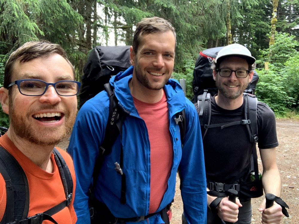
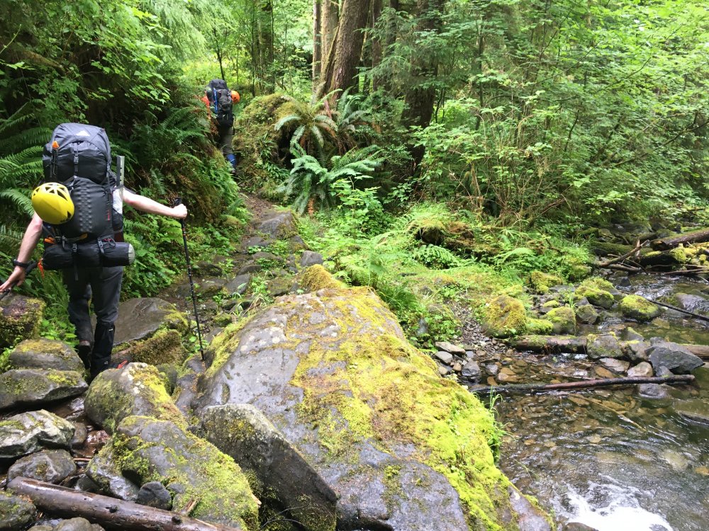
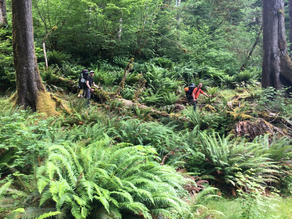
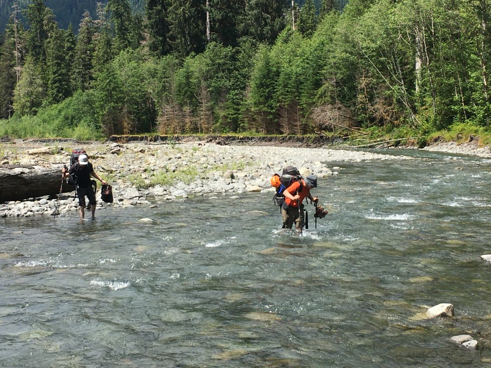
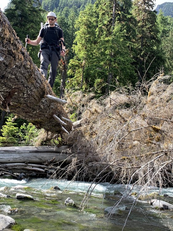
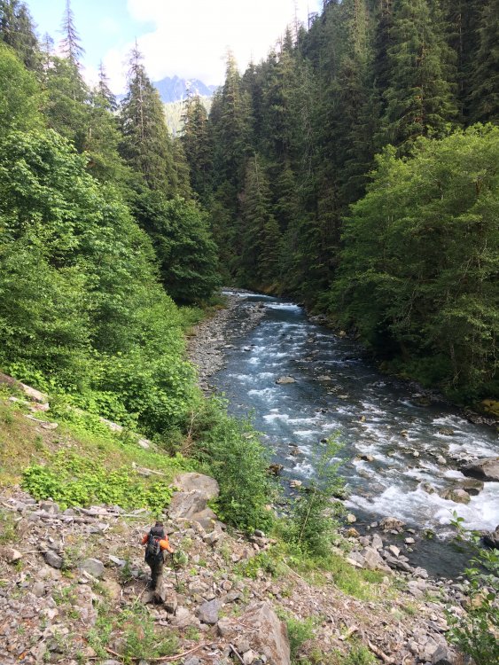
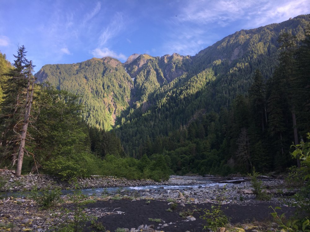
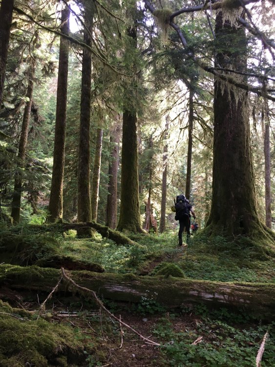
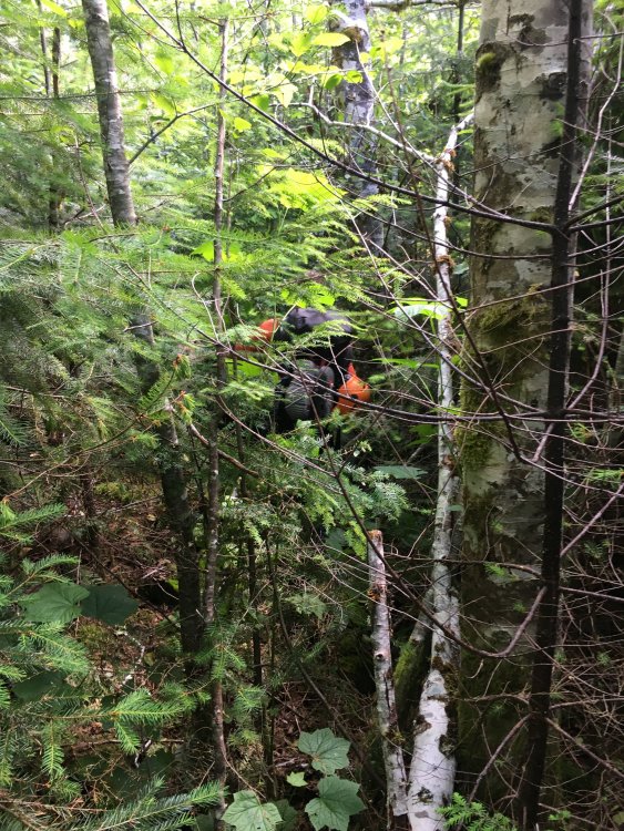
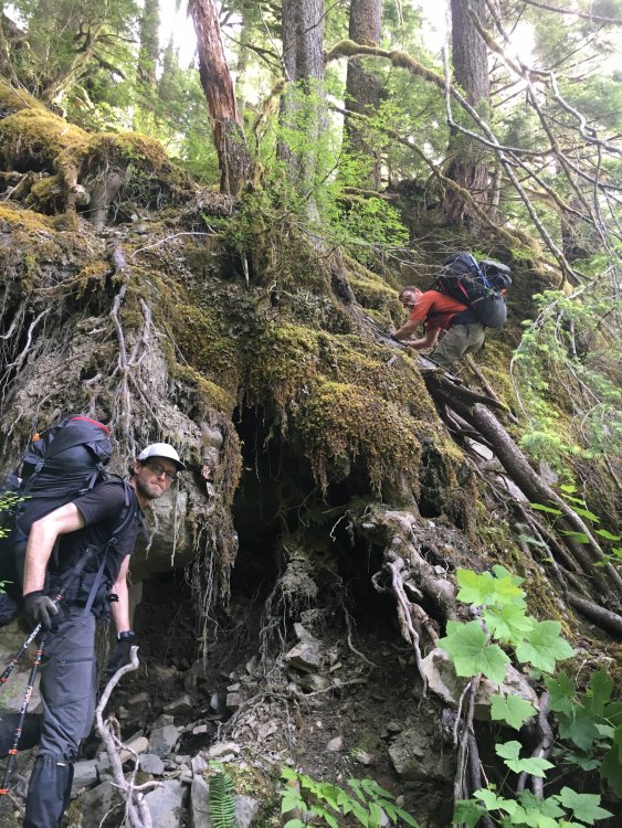
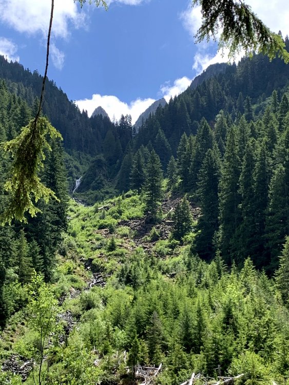
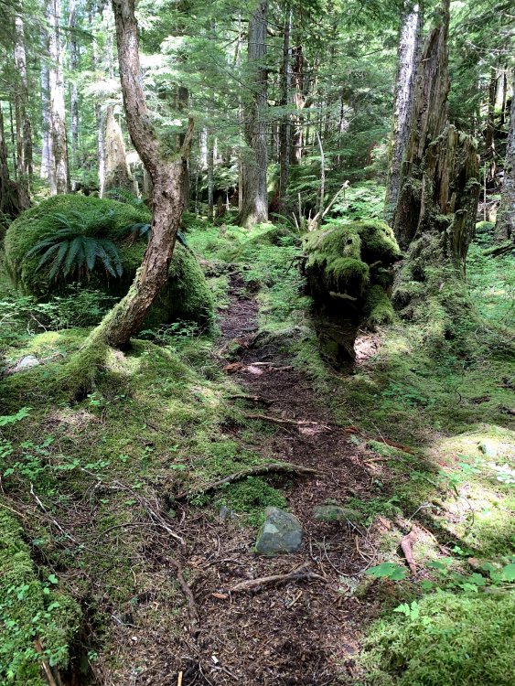
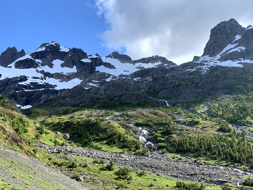
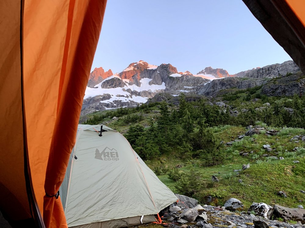
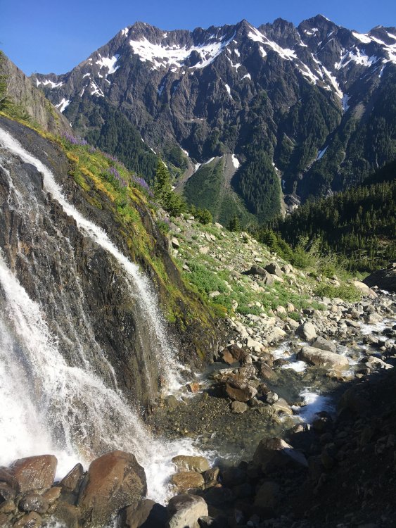
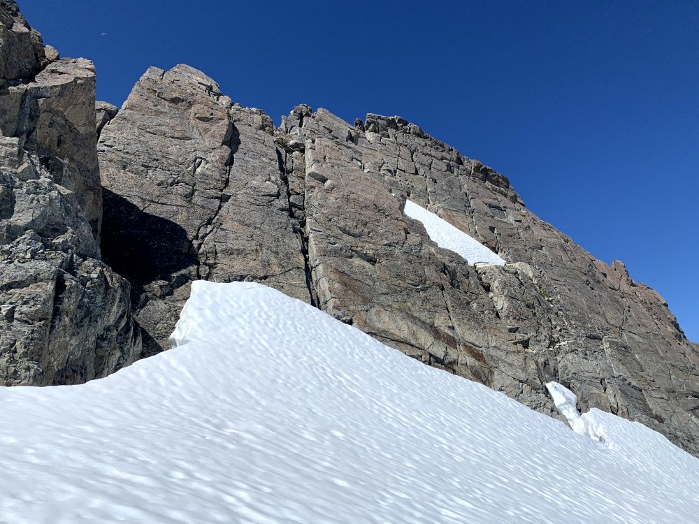
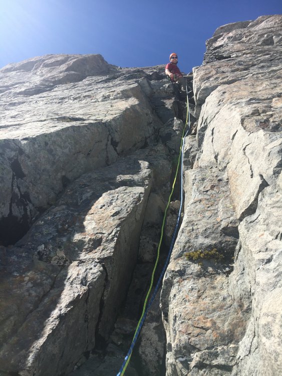
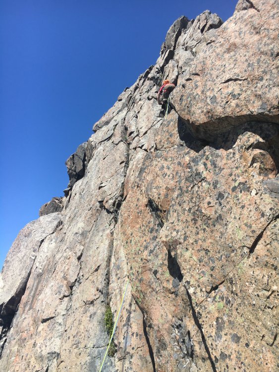
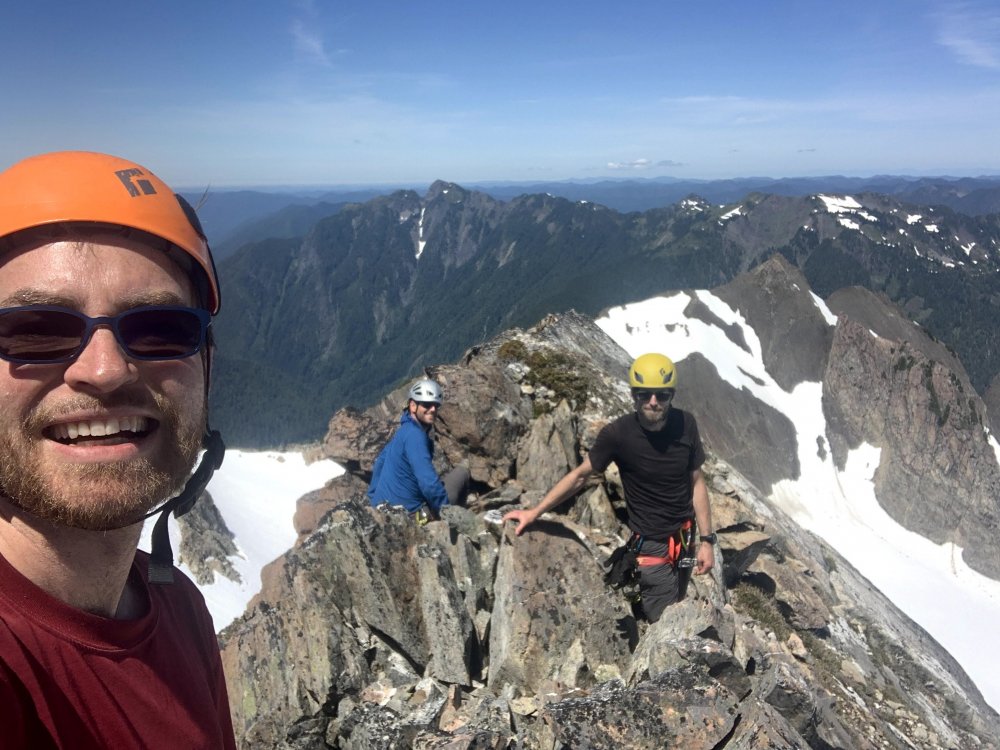
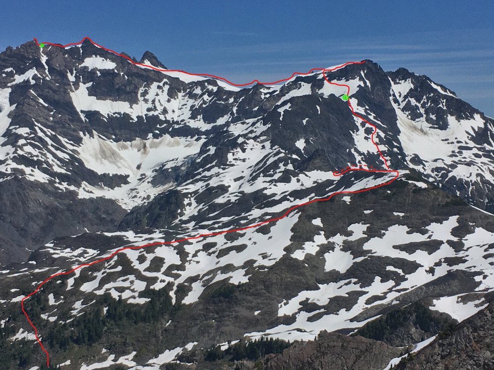
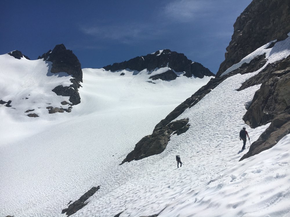
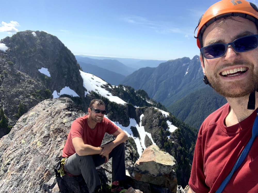
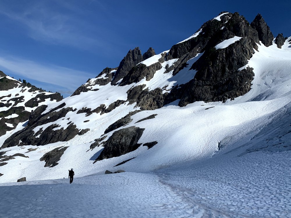
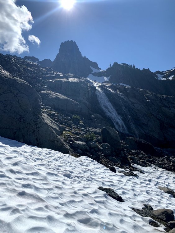
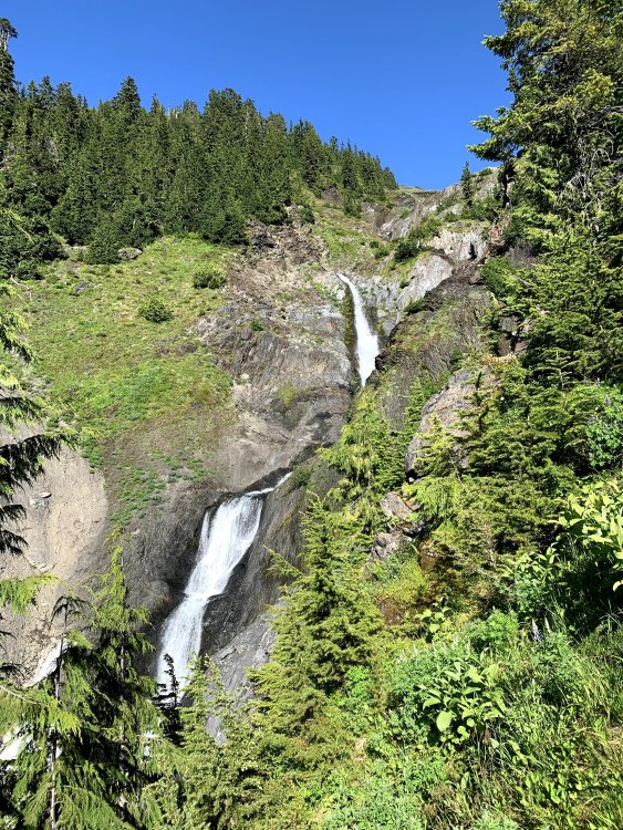
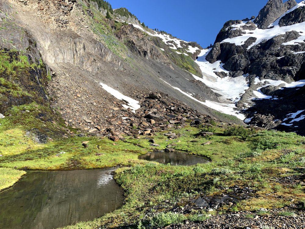
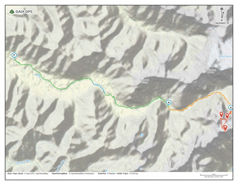
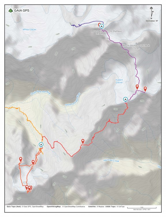
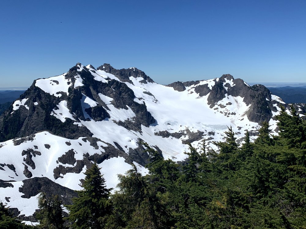
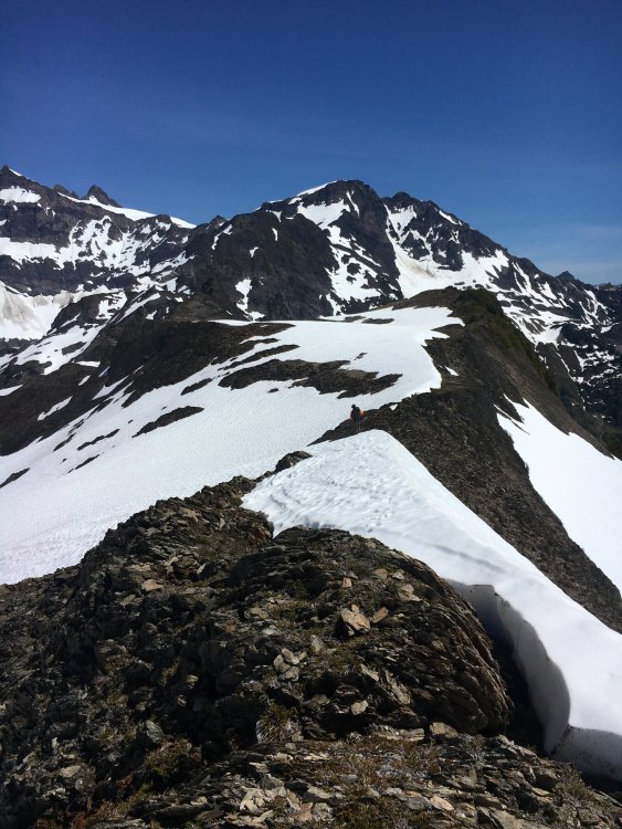
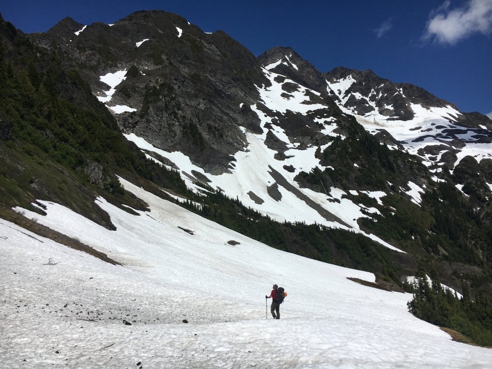
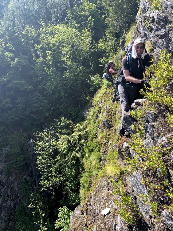
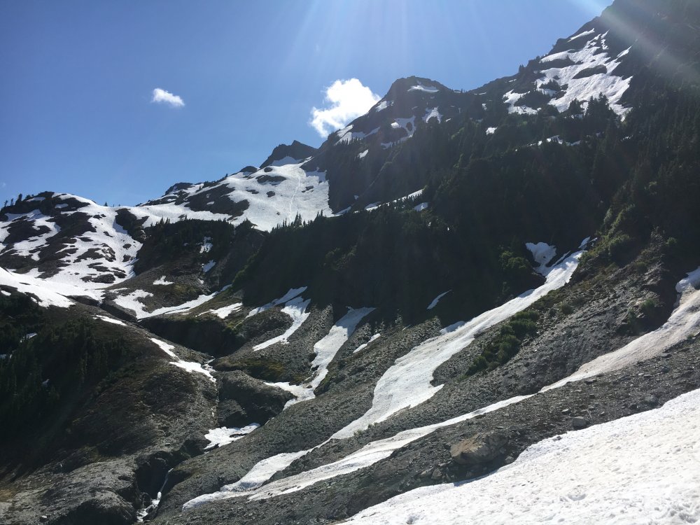
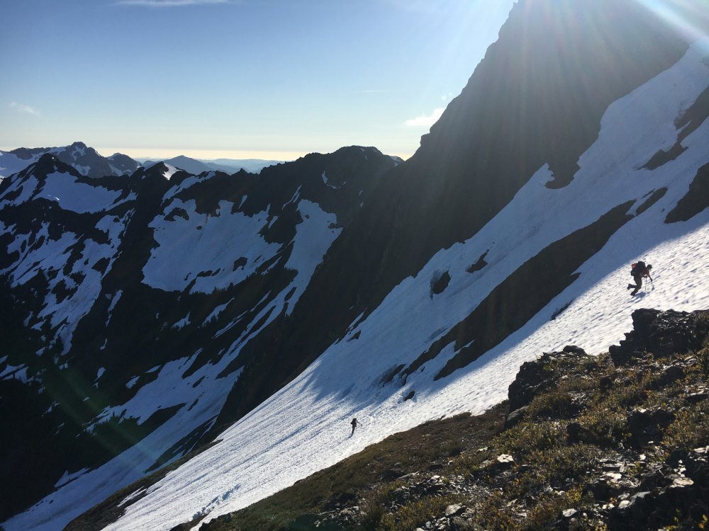
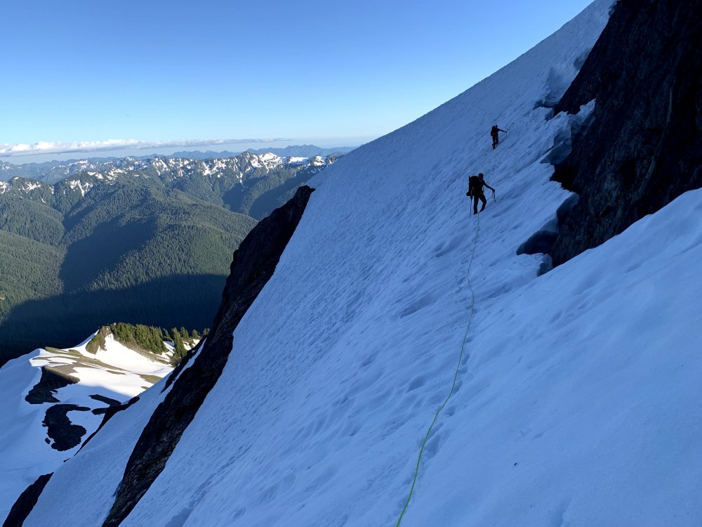
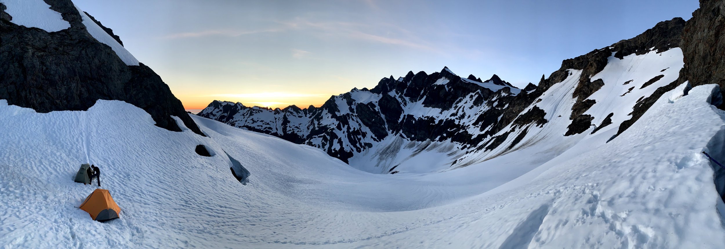
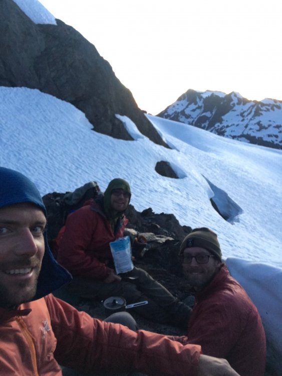
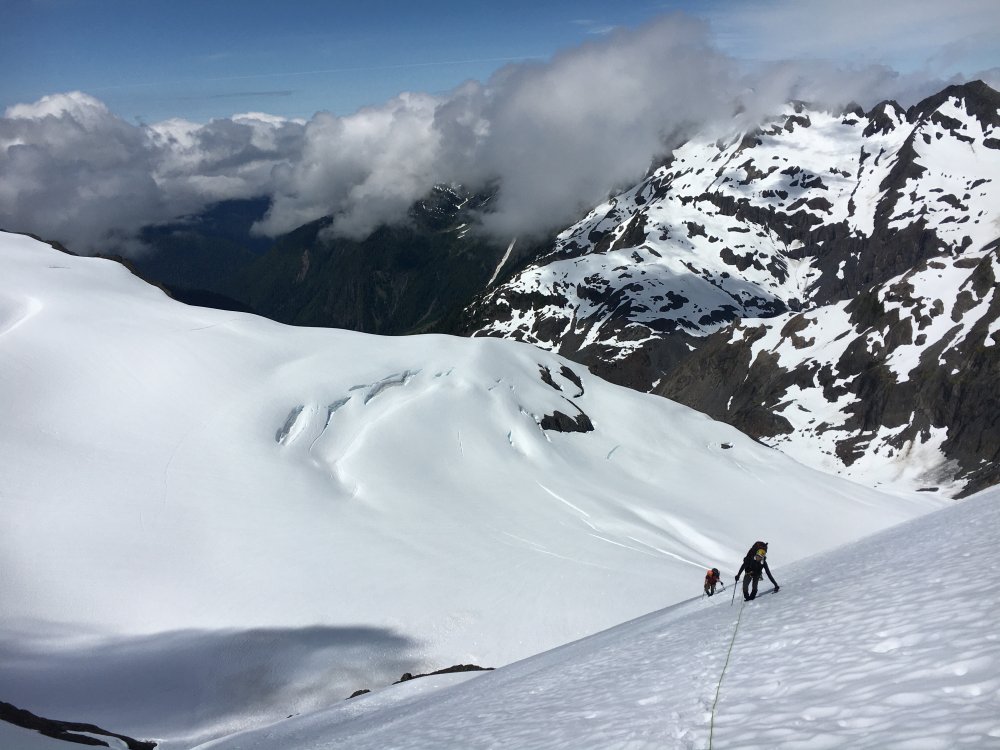
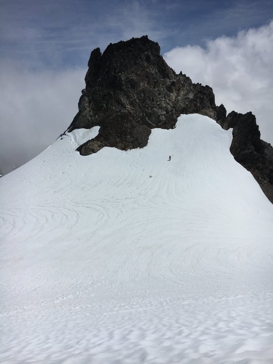
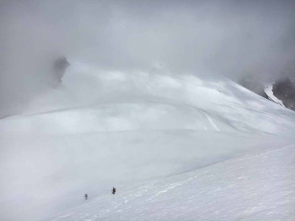
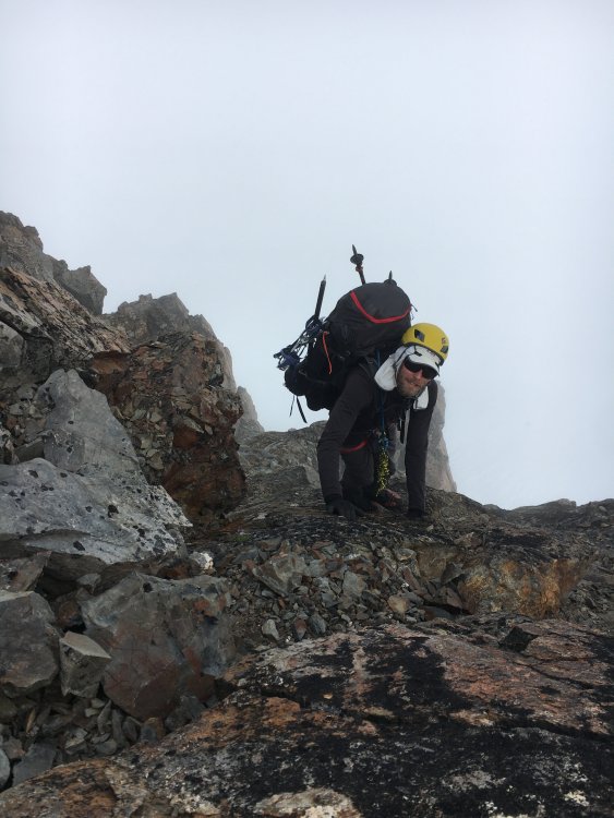
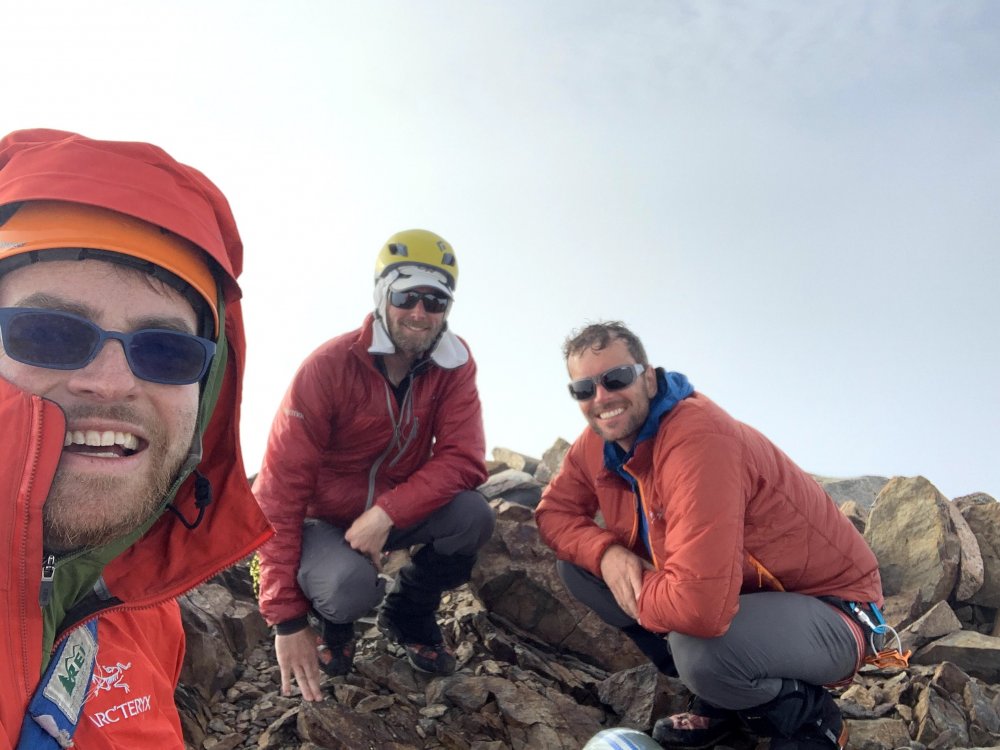
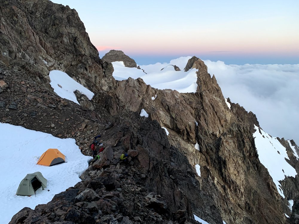
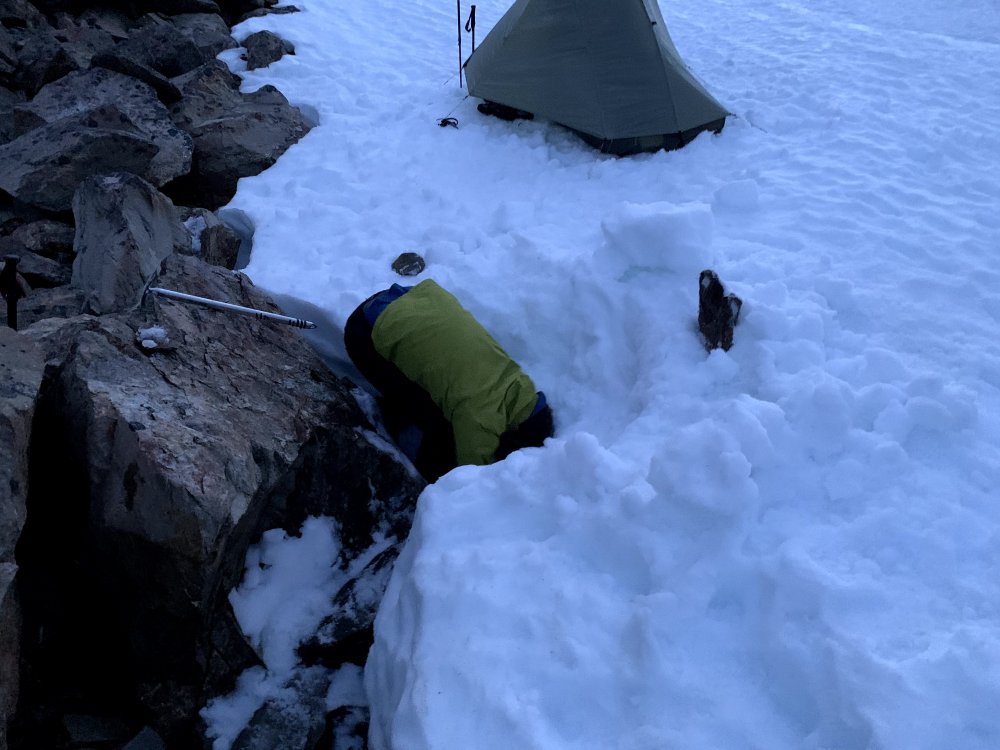
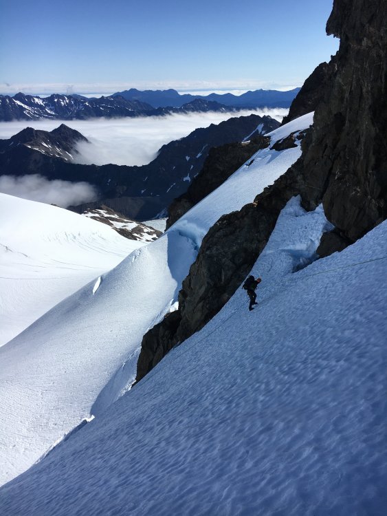
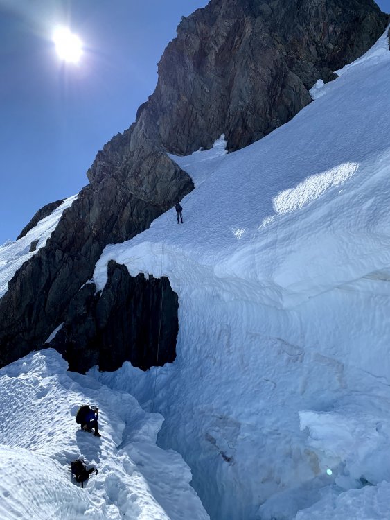
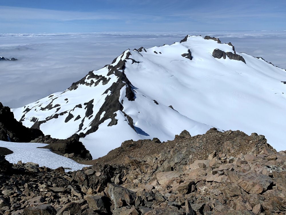
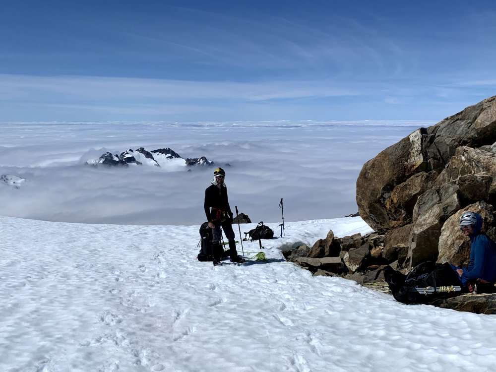
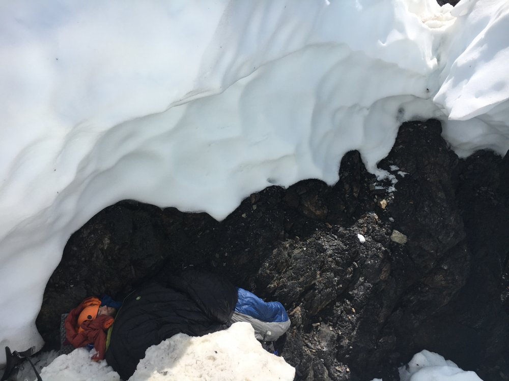
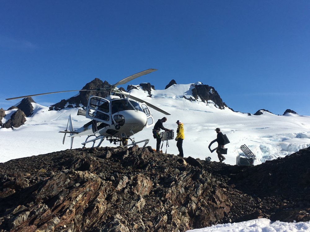
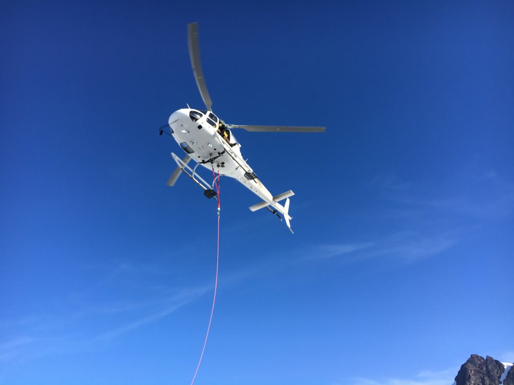
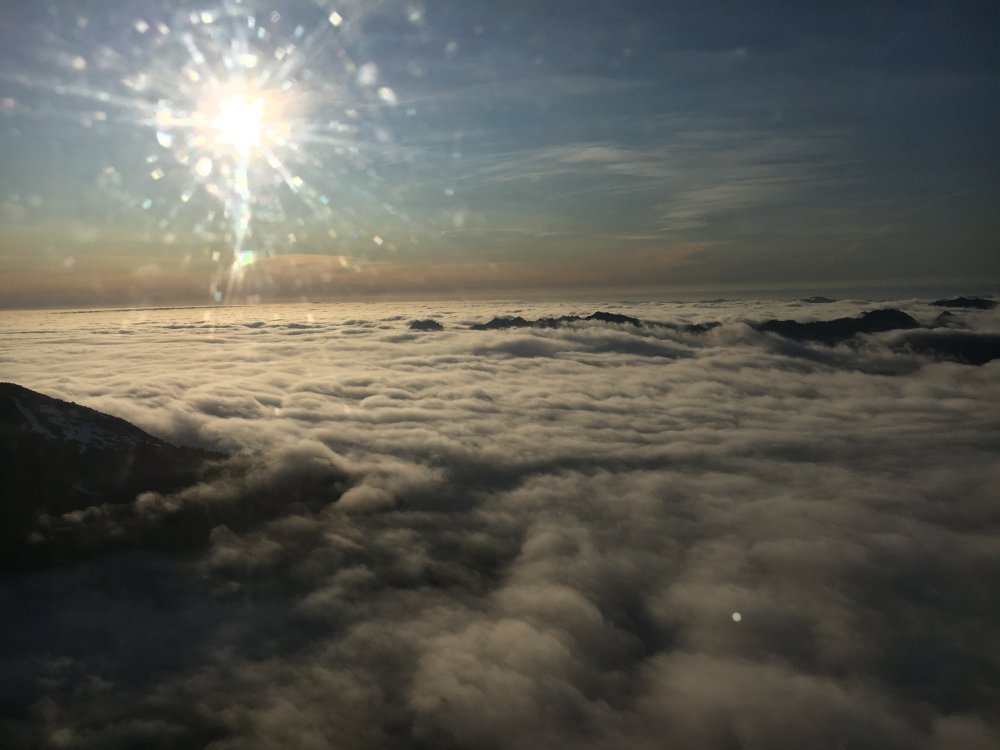
Trip: Valhallas-Olympus - Woden, Hugin, Frigga, Athena, Olympus Middle Peak, Olympus West Peak Trip Date: 07/11/2020 Trip Report: Valhallas and Beyond - An Up and Down Trip Across the Olympics Including Many Ascents and Adventures and an Unfortunate Helicopter Ride Out The Valhallas, a name that strikes fear, curiosity, or just a confused brow wrinkle on to the faces of northwest mountaineers. Many don’t know about the small range to the south of Mt. Olympus in the Olympics while others have just heard stories of terrible bushwhacks and horrible loose rock. If you have stood on the summit of Mt. Olympus on a clear day they may have caught your eye, or maybe you saw an old photo that made them look vaguely like the Bugaboos. As a teenager I tried to get up Mt. Tom creek a couple of times so I knew what it might be like to get there. For all those reason this range has been on my list for a very long time, but also never made it to the top of the list for the next objective. It was a bit out of the blue when my friend Chad called me up after not having adventured together for several years (kids n stuff) and suggested it and said he already had a third person too. Normally I have to lie, con, bribe, and threaten friends into bushwhacks of this nature but here he was dropping it in my lap. Plans were made and dates were set. We aimed for mid-July in the hopes of good weather, low river levels, and enough snow up high still for good travel. The Chads and I all smiley at the start: Our chosen weekend approached with rain so we decided to car camp near the trailhead Saturday night and start Sunday to avoid the wettest forecast hours. This was a wise choice and avoided almost all the wet brush. We headed up the South Fork Hoh trail and made quick work of the ~4 miles of maintained trail. We were surprised to pass a group of five locals coming out from their own adventures about five miles past the trail end. They were the last people and footsteps we’d see. There was some mild brush crashing following a faint trail for another mile or so from the end of the real trail and then we enjoyed relatively easy travel along sand bars and gravel beds. The satellite view on Gaia Maps felt like cheating from my teenage adventures in allowing us to pick the clearest path or side of the river in many spots. Crocs and shorts were super handy for several crossings but there were a fair amount of mostly easy log bridges as well. We stayed on the north side generally but it was easier on the south for a few spots. Towards the end of the day we tackled what we called the “restriction”, one of the worst places for whacking, where the canyon narrows and one must take on steep vegetated river bank travel. The locals had referred to this as “box canyon” where they had turned around. We used the “think like an elk” mantra of previous parties and did find some helpful trails to follow. Kind of like when you second guess your traffic app driving through town and run into a jam, there is generally a good reason why the elk head so far up hill and we often paid in blood for not wanting to gain or lose elevation. We made it about 12.5 miles from the car before settling/crashing on a beautiful riverside meadow campsite for the night below Hoh Peak past our first big barrier. It was exhausting but great to be in what felt like virgin wilderness and far from any other human sign. Night one camp site and view up towards Hoh Peak: Day 2 we had about a mile of easy travel before again having to head up hill into the brush on the north side of the river. We struggled with ups and downs, hugging the river and not, occasionally pulling some 4th class tree root moves, until eventually reaching the mossy boulder field mentioned in the Olympics climbing guide. We continued on until reaching Valkyrie Creek and forded the river there finding no tree bridges. We had initially aimed for this for day one but our earlier campsite was much nicer. Here we detoured from several other trips and the guidebook and decided to carry on up river to the next creek (Geri-Freki as it drains the glacier). We walked up the sand bar on the south side from Valkyrie Creek and soon found the most amazing elk trail. The river valley constriction and thousands of years of hoof travel have created a network of trails that almost appear like they were man made and travel was far easier than earlier. If we could just teach elk to use chainsaws it would be even better but they either break the branches off or make detours around the worst logs. In no time at all this trail came to Geri-Freki Creek which we crossed and then continued up on the NE side of the creek. We made an error and lost the trail in a swampy bit where things start to steepen. We should have continued left away from the creek (NE) to find the trail again but instead chose to head up hill through relatively open ground keeping just climbers left of the growing cliffs. We ended up in some ridiculous steep brush and unpleasant travel only to pop back on to the amazing trail at the top of the worst of the climb. We continued on the trail as it transitioned to alpine parkland and eventually broke out into Geri-Freki basin. We broke right and dropped into the basin then climbed to a beautiful shoulder camp next to a waterfall around 3900’. This was a truly amazing place with wildflowers and waterfalls galore and the Valhalla Peaks just a stones throw away for our adventures the next day. We enjoyed fine weather that evening with few bugs, had some sips of whiskey and basked in the accomplishment of just having made it there after two hard days or travel! Fun fourth class tree roots: Looking up Valkyrie Creek with Frigga and Baldur tantalizingly close: Beautiful Elk Trail: Success! What a camp! Day 3 we woke to a cloudless sky and headed up to the toe of the Geri-Freki glacier via easy scrambling past several beautiful waterfalls. Our first objective was Woden, the highest peak of the Valhallas. We took a fairly direct line up the glacier to the Woden-Hugin saddle where we dropped our packs and racked up for the “4th class” climb. I lead up the obvious “jam crack” at the top of the snow field on the NE side finding fun climbing and surprisingly good rock. I brought the two Chads up and then we scrambled another pitch along the ridge line to a notch and the final diagonaling pitch to the top. This pitch started with a brief chimney behind a block and then followed a left trending crack up which again had mostly good rock and protection. We enjoyed the airy summit and amazing views for a while and then made two ~20 meter rappels back down. There was a piece of webbing at each anchor already but otherwise no human sign. I left a small summit register here as I couldn’t find one. This was a great climb to a fantastic high point with amazing views all around. Chad C claimed this as his first Olympics summit which is pretty amazing (although he later remembered an early climb of the Brothers). Mt. Tom: The Valhallas, Woden is just left of center: First pitch on Woden follows the 4th class jam crack on good rock Pitch 2 View towards Olympus and the route we would take for the next couple days. Green dots show the next two camps. Dotted line does not convey difficulties. Returning to our packs Chad C. and I then scrambled up Hugin for the heck of it, then we all dropped down and traversed along the glacier towards the Frigga-Baldur col. I wanted to climb all the peaks along the way but knew there wasn’t time and it was hot so we set our sights on Frigga as another cool perspective on the area (although it was actually Freya that dominated our campsite view). Frigga was a disappointing change in rock after Woden with a lot of loose crap. Although he was suffering from the heat a bit I talked Chad B. into joining me and we simulclimbed to the top. There were good trees for pro but crappy rock and slippery vegetated corners which made this feel just as difficult as Woden despite the 3rd class rating. We made a few raps back down and then headed back to camp to relax in the sun and wash some clothes in the creek. Climbing up towards the Frigga-Baldur Col, Hugin and Woden are on the left: Frigga from the Col: Thor and Loki and the toe of the Geri Freki glacier: Freya and waterfall on the way back to camp: Scenes from near camp: Map of the first couple days: We slept in a bit the next morning (too long) before packing up and heading out. It was difficult to leave such an amazing valley and camp. We retraced our steps of Day 2 back to the elk trails and began climbing up a ridge (follow the elk) breaking out of the remaining trees and then following that ridgeline up to the main ridge that connects the Valhallas to Olympus. We had continued to debate the route from here, either dropping down to the toe of the Hubert Glacier and then up to Olympus as several other parties have done, or dropping off towards the Queets and trying to connect snow fingers up towards the top of the Hubert Glacier and Athena. With some more observations we decided to roll the dice and try to get up towards Athena. We had only Bremerton John’s NWMJ trip report mentioning this route which included warnings about insanely steep vegetation and a team rope rescue at one point. That’s exactly what we found! We followed the ridge towards Olympus until it began to get steep and rocky and then dropped off the Queets (east) side around 5500 ft. We lost only a few hundred feet then climbed back up a snow finger to get over a steep rocky rib blocking our northward progress. From here we dropped again on easy snow slopes down from around 5300’ to 4800’ and then continued to traverse north toward the snow fingers we planned to ascend back up. The way seemed easy until we ran into an incredibly narrow and deep gully not obvious on the topo. At first this looked impassable but I was able to shimmy down some tree branches to the bottom of the gully and then make a rather exposed and steep vegetated traverse back out the other side. The others followed without incident and we continued onwards only to once again be stopped short by another very steep and deep gorge. I scouted up the hill and down and could not find an easy bypass to this obstacle. It seemed we only need to get across this 20’ wide gorge but there was no good route. We began dropping down into the basin until we were eventually forced to make one rappel in the very steep and cliffy trees to get to mellower ground. This and the heat was certainly taxing our morale and may have been a low point of the trip so far. It was well into the afternoon and we were nowhere near our goal for the night. In hindsight we should have continued dropping down the earlier easy snow to benches around 4500 feet before traversing since we ended that low anyways. This would have avoided the sketchy gullies and green rappel. Once we made it in to that basin though the way was clear over the snow we had been eyeing for so long from a distance and we began a very long ascent back up the ridge in the now evening light. We gained nearly 2000’ feet up this soft snow, taking multiple safety breaks along the way and contemplating some potential desperate crappy sloping bivy rocks. The snow was soft in the late hours but a slip would have been unpleasant as least. Fortunately we persevered upwards to a good last break spot and with some scouting decided to make the push. We roped up for the last steeper bit of snow to a notch in the ridge around 6400’. Tired and a bit demoralized we slowly pushed through (placing our one picket) and popped out in to the sun at the notch finding a flattish spot in the snow for our tents and a nice bit of rock to chill out and cook dinner on. We pitched tents in the last few minutes of sunshine and made dinner around 9pm. It actually was an amazing campsite as we got both sunset and sunrise with amazing vistas all around. Looking back at the Valhallas: Easy ridge walking! Having dropped down it looks like a cake walk to the snow slope. It was not. Looking back we should have cut left in the this photo and dropped to the low benches instead of taking the high one to the secret gullies: Finally climbing the snowslope in the evening light: Traversing to the final steep pitch back to the ridge: Finally, camp sweet camp! Our exit the next day visible on the right where the snow goes up to a notch: We slept in again that next morning but we had earned it. Once we packed up we roped up again to climb another snow finger to a notch at the top of the Hubert Glacier that allowed for an easy short scramble to the snowcap at the top of the Hoh Glacier. We celebrated this success with snacks and then headed packless for the short scramble to the top of Athena. The clouds were now swirling about so we knew this might be the last view we had for a while but it was again awesome and new. Athena: We now followed the west edge of the upper Hoh Glacier as our world shrank to a few hundred feet wide. We had hoped to traverse all of the Olympus summits but soon East Peak was entirely gone from view and dropped out of our consciousness and off the list. Although the least elevation gain option would have been to go between East and Middle Peaks we knew from earlier views that snow went almost all the way to the top of Middle Peak so we chose to just keep following the snow up with easy navigation in the white out cloud. Climbing up without reference we were at least thankful for the cooler temps on the glacier and eventually made it to the final scramble to the top of Middle Peak. We signed the nice register there noting most signed summits were coming from Bailey Range traverse folks. We made a single rappel off the NW side of the peak back to the snow and then continued towards Olympus West Peak. We reached Five Fingers and then dropped down into the scree gully on the west (left) side to scramble up to the Five Fingers-West Peak notch. Again we racked up for and evening summit planning to camp at the saddle afterwards. Scrambling up Middle Peak: West Peak of Olympus emerges from the cloud: We headed up the steep snow pitch of the standard route and soon realized that the way was blocked by a huge crevasse at the top. Regrouping I took the sharp end and led over the east ledges traversing up the ramp until I felt like climbing up towards the summit. I could have traverse farther and made it easier but the line was fun and I was able to protect it. We hung out on top in the cloud for a bit and then rapped off back to camp at the notch happy to have completed this leg of the journey even if we didn’t get the views this time. On top of the Olympics! We had started to set up camp when there was a faint clatter as we turned to watch Chad B’s sunglasses slide off a boulder into the gap between rock and snow. Here began a fruitless quest of digging trying to get arms and eyes down into the hole, and otherwise fighting the forces of nature charging us for our passage. Although we all tried to get down in the hole and dig we failed to find the wayward specs. Fortunately I had some emergency “Rollens” sunglasses like you get when the eye doctor dialates your pupils that he could sport the next day to avoid snow blindness while being ultra-stylish. Despite that mishap we enjoyed another whiskey toast for our three summit day and slept well that night. Digging for sunglasses: Day 6 started bright and clear. It was the coldest night by far and I woke to ice on my boots. I had just poured my coffee when the first people we had seen for nearly a week popped up on top of Five Fingers and shouted hello. Shortly after they joined us at the saddle and we chatted and shared our current beta for the summit block. We finished breakfast and packed up for our next goal, finding a way down to the White Glacier and then up to Mt. Tom. The Fourth of July route looked closed by seasonal crevasses but offered a much more direct route in our intended direction. I had earlier spotted an old rap anchor to allow dropping to the north so I went down into the bergschrund to inspect. I cleaned the worn corded nut and instead found a solid horn and we rapped down as far as we could and then made a second rap from another horn to get to the base of the difficulties. From down low it looked like we could have done an end run but the early morning hard icy snow would have made that quite scary with our limited gear. We continued roped across the top of the Blue Glacier following the Mt. Tom route description to what seemed to be the appropriate descent gully to the White Glacier. Previous trip reports had mentioned anything from a loose scramble to a hand line to rappels to get down. We began scrambling down the very loose and crappy gully trying hard not to drop rocks on each other. Mt. Tom and the White Glacier: The Valhallas emerge from the clouds before we start descending to the White: I was in the lead and eventually got down to the top of a snow finger that I could see reached down to the glacier. I wanted to get down and out of the line of rockfall so I quickly put my aluminum crampons back on and went to step down onto the hard shady snow. This is where things (me and my pack) went downhill in the least favorable manner. I’m not sure exactly what happened because it was so fast but I may have had a large rock shift as I stepped down to the snow, or I may have bumped something with my pack knocking me off balance, but I never got established on the slope and the next thing I know I am sliding down the surprisingly hard and icy slope I tried to dig my aluminum ice axe in but failed to get it to bite before my tumble/rotation pulled me out of position. For a brief moment I tried to relax into the fall and then found suddenly myself at the bottom of bergschrund/crevasse. I somehow slithered out of my backpack into a half fetal position and froze. I knew immediately from the pain in my back that I was somewhat screwed. I could move all my limbs but really couldn’t change my position much due to the pain. My breathing was shallow also with pain (broken ribs) but I weakly shouted up to my partners that I needed help. I doubted they could hear me but in my condition there wasn’t much to do but settle in and wait. I knew I wasn’t walking out. I had slid somewhere around 200 feet down the mountain and come to a sudden stop in a 15 foot deep hole. Chad C. arrived first having seen the end of my slide and scrambled down as quickly and safely as he could trying not to knock anything on top of me. Chad B. was not too far behind having chosen the safest option of rappelling from rocks on the edge of the snow finger. They did an amazing job of staying focused over the next couple of hour, assessing me and determining the possible severity of my back injury but no other immediate threats. I had some gurgling in my shallow breaths but it wasn’t getting worse. They managed to get a sleeping pad mostly under me and all the sleeping bags over me. I asked for a gu to keep my blood sugar up and a few sips of water but didn’t want too much else so as not to interfere with future medical treatment. We had a satellite phone but actually had cell service so the call was made for a rescue. Olympic National Park rangers coordinated to get the Mt. Rainier National Park rescue crew and helicopter on the way. Chads got the stove going and got me some life saving hot water bottles as I edged towards shock in the cold and damp hole. I am forever grateful for my excellent partners keeping me as comfortable as possible in this terrible and unexpected situation. In a bad spot (I asked them to take this photo): It only took four hours or so from the phone call until we heard the sounds of a helicopter. Time was a strange element in my state and it seemed faster but we did have time to sort out some possible options and make sure I didn’t leave with the car keys. Soon enough we were waving (well everyone but me) towards the rescue crew as they assessed our situation and location from the air. Relaying text messages with ONP we learned the crew was landing at the IGY research hut on Snow Dome to remove the helicopter doors and set up for a long line operation. A marine cloud layer remained in the valley and they were worried it could rise a bit and ground us all so they chose not to land on the White Glacier. A little while later they returned with Rescuers Tim and Seann dangling underneath. They talked with all of us and quickly realized the initial plan of a rescue sling would not be good with my back injuries so back the helicopter went with Chad B dangling to configure their vacuum litter. They brought this back and carefully finagled this fantastic device underneath me and pumped the air out conforming the litter to my position and firmly holding me there. Tim secured himself and me to the long line and they carefully coordinated a gentle angled extraction from my icy rocky confinement. A short flight later (during which I had a great view of red nylon and straps) they landed us at snow dome and returned to also extract Chad C, Seann, and our gear. They landed the helicopter again and loaded me inside for the flight to Port Angeles where I was transferred to an ambulance to the PA Hospital and then further transferred to Harborview. Thus ended our Olympics trip a little early. I probably would have preferred the bushwhack exit but this one was certainly faster. Our path from the Valhallas to Olympus: Afterward: The amazing rescue crew was able to refuel and return to snow dome to pick up the rescuer they left as well as the two Chads and our gear who they were able to drop off in Port Angeles. I know Chads were grateful to not have to do the long hike out the Hoh to the wrong trailhead as they weren’t motivated to continue our traverse over Mt. Tom and Hoh Peak on without me. I’d like to think the rescue crew was willing to do that due to the great work and preparation of Chad B. and C. to stabilize me and clean up gear and prepare things well in advance for the operation but I know there were other considerations as well for the party. They were able to rent a car the next day to retrieve mine from the trailhead and then return home. I had x-rays that night identifying three compression fractured thoracic vertebrae, two cervical vertebrae fractures, several broken ribs and a mild pneumothorax (punctured lung). I endured a long ground ambulance ride to Harborview for which I was fortunately well drugged. Due to the possibility of a bone fragment damaging my spinal cord I had an operation there to clean things up and fuse the damaged thoracic vertebrae. And I get to wear a fun neck collar for three months until the cervical ones heal. Overall my prognosis is for a full recovery and eventually regaining my range of motion. The hospital cheeseburger at Harborview after well over 24 hours of no food was amazing. I am so very lucky that I had great partners, a skilled rescue team, and injuries that were not more severe. I know that people took great risk to get me out and am grateful that they were able to do so and keep my back immobilized until treatment. Things could have gone much worse in my fall and extraction. With 25 years of technical climbing experience I was overly confident in my footsteps in this no-fall zone especially given my ultralight gear choices. The snow was harder than anything encountered on the trip due to the deep shaded gully and coldest weather night. I should have sheltered in the gully and waited for my partners (who were carrying the ropes) to rappel this section. We make choices in the mountains all the time between moving fast and light and being roped and anchored 100% of the time. I have been lucky and have developed some skill in movement here but in this case I failed. The heavy pack and taxing traverse took their toll and I was lax in my assessment of the conditions and the run out below. I was a little worried about our speed and late camps and this probably colored my choices as well. This time I got lucky (relatively). With the amazing help I received I am thankful that I will be able to return to the hills again next season and maybe even get to ski this winter. Even more photos and some video here: https://photos.app.goo.gl/eXzGgsweVE6zKS5s5 Gear Notes: We took a 30m half/twin rope and a 48 meter half/twin (meant to be two 30s, oops, but we did do some 39 meter rappels with a knot pass in broken terrain). We packed one picket, two link cams, and a half dozen nuts as well as 4 trad draws and several assorted other slings and prussics. CAMP ultralight harnesses worked great for all of us. We all had aluminum crampons but Chad B and C had steel ice axes. I figured they could lead any icy ascents but I didn’t think about the descent problem with my lightest of light axes. We took a two person and one person tent figuring we might have bugs to deal with but amazingly didn’t have many. An MSR Reactor with small pot worked great for our occasional snow melting and mostly freeze dried food. Helmets are always needed for Olympics rock. Our packs started at a hefty 50 lbs or so each but 8 days of food and whiskey accounted for much of that. I am slightly disappointed I didn’t get to the end just to see how good I was at my food estimating. We had planned to continue over Mt. Tom and Hoh Peak and drop back to the South Fork two days later. Approach Notes: S. Fork of the Hoh and go!

