Tucker
Members-
Posts
16 -
Joined
-
Last visited
About Tucker
- Birthday 12/12/1977
Converted
-
Location
Washington
Tucker's Achievements
Gumby (1/14)
0
Reputation
-
Sweet,the book is finally released, nice job Ian! I'll be there, can't wait to pick up a copy.
-
This is awesome, finally a new detailed book for Washington Pass! Awesome job Ian!!!
-
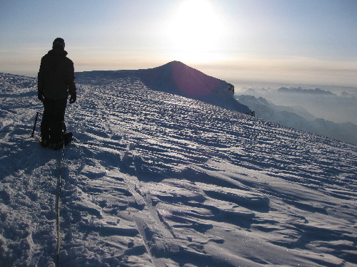
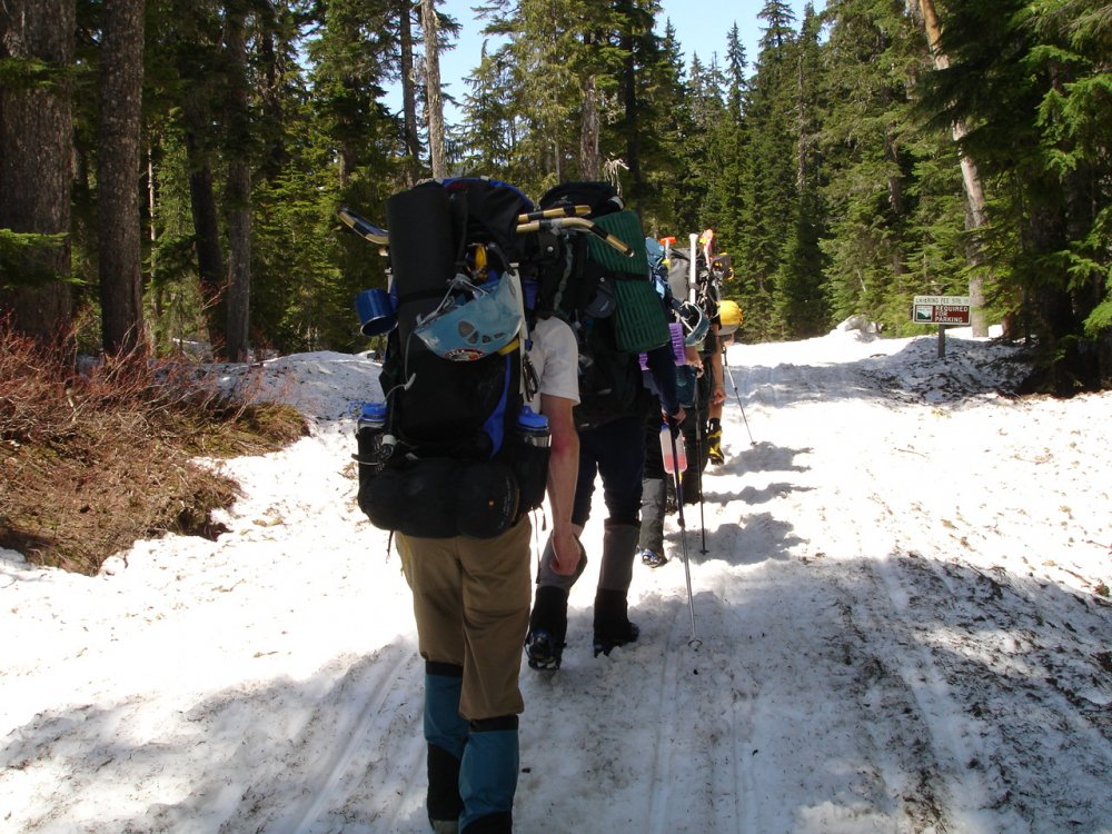
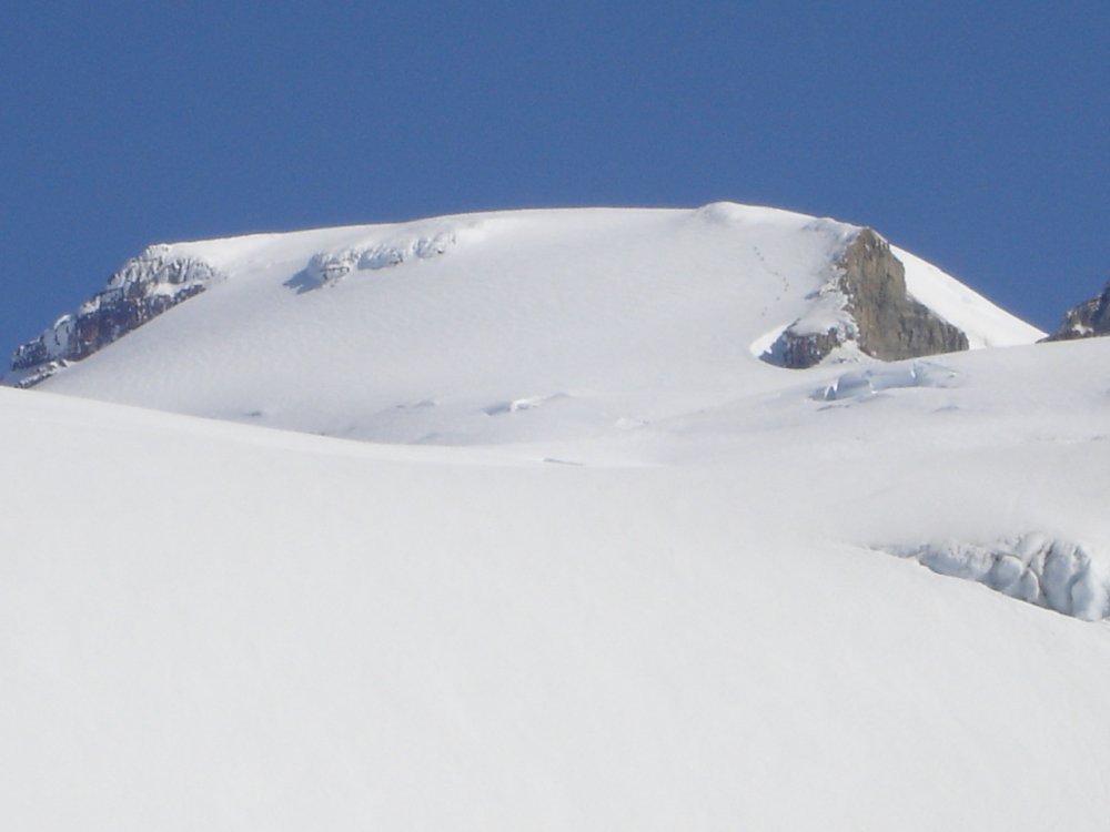
Trip: Mt. Adams - Mazama Glacier Date: 7/17/2010 Trip Report: Masood, Christophe, Eric and I climbed the Mazama Glacier route on Adams this past weekend. The weather was great and the conga line up the south spur was in full motion...check out the glissade path from the false summit (a couple of feet deep) visible from well below! We had Sunshine camp all to ourselves after Sunday and the route was in fine condition, just a few small crevasses showing that are easily avoidable. We left camp at 3:00 AM Monday and were standing on top by 7:30...back in camp by 10:40. Gear Notes: Standard Alpine gear...crampons, ice axe, rope, etc... Approach Notes: The approach is mostly on dirt up to 6,000 FT or so...easy route finding...not so easy finding a parking spot at the trailhead on a weekend right now!
-
Once we were on the sulphide it was quite firm, we busted out crampons for the upper part of the sulphide and for the summit pyramid. The pyramid was mostly steep snow climbing for us, the snow was stable enough. With all this warm weather the conditions are likely going to be changing considerably over the next 2 weeks where you'll get more rock on the pyramid, we had very little rock srambling and mostly just shot straight up the snow to the top with a few rock moves here or there.
-
Unfortunately with the snow level last weekend the spray painted arrow was nowhere to be found...but there was one set of faint footprints we followed. I had personally never climbed them, but Ian had a few times so that obviously helped. I wasn't able to get any pictures of the approach into the chimney's to point them out to you but my bet with the weather this week is that there will likely be several sets of new tracks to follow... Regarding the descent...with all the snow cover we actually messed up and downclimbed into the wrong gulley on the way down, we had to climb back up and over into the proper gulley. There is enough of the regular rock scramble route showing to help guide you on the way back down if you just pay attention and look for it...Ian also made a good amount of new cairns to help guide folks that should make it more obvious on the descent.
-
I'm not that great at guessing the slope angle, but based on previous climbs of Baker and an attempt on the Kautz route of Rainier I would say between 40 and 50 degrees. Here are a couple of pics coming up the route so others can help estimate the angle. Those are pretty much the only enroute pictures that show the angles due to the weather challenges. Unfortunately I don't have pictures of the few places where it was the steepest (Winnie's and Hell's Highway not included).
-
Trip: Mt. Shuksan - Fisher Chimneys Date: 7/3/2010 Trip Report: Ian Nicholson and I climbed the Fisher Chimneys July 3-5. The trip was awesome, the conditions were not so awesome. The hike in on the 3rd was through a light mist and very low visibility...the first step of the chimneys was mostly covered with steep snow, although you can get off the snown and do some scrambling on the right side. The "football field" campground below the upper chimneys was completely snow covered, bring your shovel because digging our platform with our ice axes was...well...fun. On the 4th we were up and out of the tent at 5:00 AM, greated by another bout of wind, mist and low visibility. The upper fisher chimneys looks like this (picture taken on July 3rd during a weather break)... As the picture shows, the climb up the upper chimneys is a selection between steep snow or attempting to stick to the rock band on the left side...we opted for as much rock as possible, only having to hop onto the snow in a few places. Winnie's slide and Hell's Highway were both easily climbed...both could likely be climbed without crampons although the leader (Ian) did use crampons on the last couple of short pitches of Hell's Highway for better traction while kicking in steps. The summit pyramid was covered in snow, even the summit itself was completely covered in snow...lots of steep snow climbing mixed with some rock here or there...all steep snow lowering and downclimbing on the way back down the pyramid and most of the chimneys. On the 5th we had the fun hike out in more wind, mist and low visibility...the sun finally peaked out as we neared the car. Fun times, fun route and a great bunch of folks to climb with (hey and congrats to the others that were on the route and summitted the same day!) * If you're interested in more route beta or pictures send me a message and I will share what I have. Gear Notes: Standard apline rack, minimal rock gear given the chimneys and pyramid have a good amount of snow still on them. Approach Notes: The road was gated at the lower parking lot...but the rangers mentioned it would be plowed to the upper parking lot the week of July 5th (son of a...)
-
Great info and feedback all, thanks for the replies. I didn't hear they bolted Everest, that is crazy considering how many people get up and down it safely (relatively speaking) already.
-
Thanks for the additional info, the class ratings are definitely helpful. I'm assuming any portion of a Mountain could be bolted if there is a section that involves rock climbing such as this. Although in this case, given the descriptions you provided, it would be unlikely that there would be bolts. Is that an unreasonable thought, is there any Mountain climb that has rock climbing sections that are bolted or is that simply never done and reserved for pure rock climbs only?
-
Great, thanks for the additional info.
-
Hey Toast That is great, but it doesn't really answer the questions. What kind of gear is needed, are there permanent rap stations (if so how far apart), are the routes easily identified, are the routes bolted, etc...? For those of us who haven't been up there general info is ok but specifics would provide more useful info for us. I haven't been able to get super specifics out of any guides aside from a rack up to 4" and know how to belay and rap. If you have been up it would you mind sharing some of the beta with us newbies so we aren't guessing and carrying a ton of gear of there for no reason. Thanks, Tom
-
I am also planning on climbing Shuksan with a couple of friends the weekend of Sept 5/6th. I have been preparing by taking a couple of rock courses including a lead climbing course. My personal expectations given some research and talking to quite a few guides is that most routes are in the class 3/4 range and your standard basic rack up to 4" is more than sufficient with that most likely being overkill. I believe most of it is doable without belaying but for safety sake belaying and rappeling back down is best. I'm not sure what kind of experience you have aside from Mt. Stuart, do you have any rock climbing experience such as belaying a lead climber, rappeling, etc...? If you guys are looking for someone to go with you that has a little bit of rock climbing/leading experience I would be more than happy to join you and your brother a weekend in late July. Tom
-
Just figured it out, thanks for the reply though!
-
Trip: Baker - Easton Glacier Date: 5/23/2009 Trip Report: We went up for a three dayer on the Easton Glacier over Memorial Day weekend. The weather was awesome all three days, a bit too awesome for those of us with old sunscreen... We had to park a couple of miles below the trailhead due to snow, but by the time we left you could drive all the way to a mile or so from the trailhead. There was still a few feet or better in the actual parking lot area though. we saw quite a few groups going for the summit over the course of the next few days. The only problem was the constant sound of slednecking, don't they make mufflers for those things! I don't want to complain too much about them though since we gleefully followed their tracks up to the base of the Roman Headwall on Monday morning. The trip was pretty uneventful with the exception of the snow worms...yes, I said snow worms (have a look at the pics). Sunday night we were sitting around our second camp and a considerable amount of these little black worms started crawling out of the snow, upon further inspection we found them in our snow pile we had been melting for H20...perhaps we should have considered not drinking the water but that seemed like crazy talk so we drank on. For For those of you who are wondering about the worms...(http://www.redorbit.com/news/space/401279/tiny_ice_worms_could_reveal_life_on_other_planets/index.html) The climb from camp to the Summit and back down to the car on Monday took a total of 15 hours (5500 feet of gain to the summit then all the way back out to the car). Gear Notes: Snowshoes (love 'em or hate 'em) made for an easier exit on Monday with the snow melting in the afternoon. It's either that or sinking up to your knees with each step. Approach Notes: The road is melting fast, but you still can't make it to the parking lot. The railroad grade was snowed in pretty heavy, looks like most groups, ours included, were taking the path up the middle of the basin below the railroad grade.
-
Thanks for your replies! I actually had a plan to hit Icicle Canyon with the wife next weekend, Mountaineer's Dome was going to be the starting point but I know that can also be very busy. I'll check out Mt. Erie, thanks! BTW...I see both of you have TRs posted, how did you go about posting them? I go to the Trip Reports portion of the site but I don't see any options to post a TR. Thanks for your help!

