

belayerslayer
-
Posts
79 -
Joined
-
Last visited
Content Type
Profiles
Forums
Events
Posts posted by belayerslayer
-
-
-
Trip: Eldorado - East Ridge
Date: 5/17/2009
Trip Report:
Working for REI has enabled me to become a connoisseur, of sorts, in the 'performance foods' section; a responsibility I take seriously whenever I get into the mountains. Companies are always cranking out new, or improved, food supplements and I like to be at the forefront of what's current - which turns into a fun self experiment. This climb's feature supplement: PowerBar's Energy Bites chocolate. These dark, roundish orbs have the consistency of dried up cookie dough and are palatable enough - though for the price you'd be better off buying a log of spunkmeyer at your local grocery store.
That tangent aside...
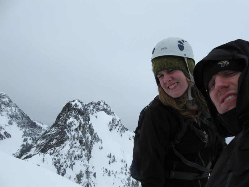
Climbed Eldorado's classic east ridge in a long day, taking advantage of the spectacular weather window. Drove to the trailhead saturday night with my sister and her Mountaineers friend Alli (don't tell them she forgot her ice ax). Packed and asleep by shortly after 1 am. Somehow managed a 3:30 am start.
Trail is in great shape all the way to the 2 talus fields. The lower field has patches of snow; the upper field is mostly snow-covered. Ran into a party descending, warning us of dicey conditions higher up with fresh avy activity. Followed steps up to the basin below 'hammered ridge' and indeed saw the crowns of many avalanches displayed along the surrounding slopes. Time was a little before 7 am. Took a quick break and sunscreened up - the sun finally lifted up over the ridgeline and things warmed up quickly. Met another party of 3 who had tagged the summit about 5:30 that morning. Conditions were good, if a bit soft, they mentioned. Thanks guys for the awesome steps up the glacier!
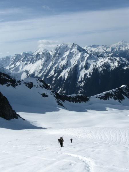
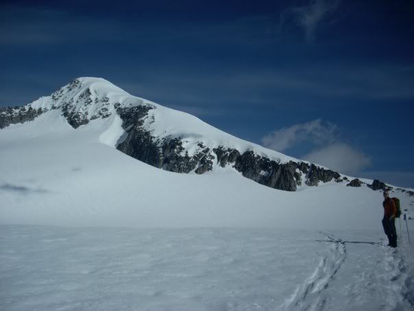
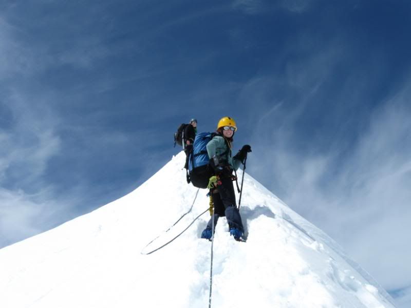
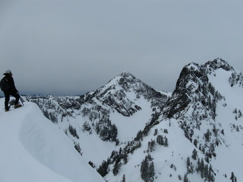
Crossed down the ridge and walked across and up the inspiration glacier to its apex and admired all the views. We didn't rope up at any point, until we reached the east ridge. Parties wanting to move fast can eschew rope and harness altogether - the steps are nicely kicked in all the way to the summit.
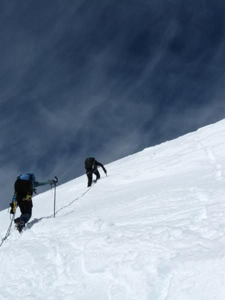
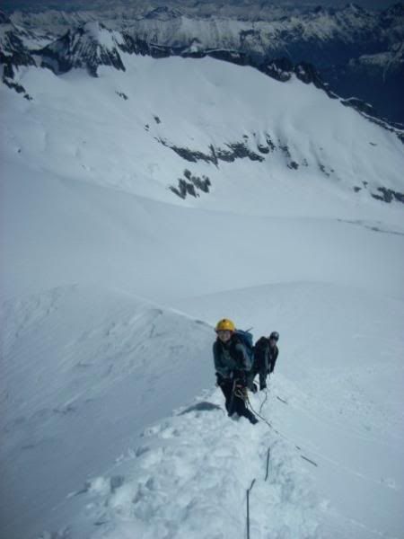
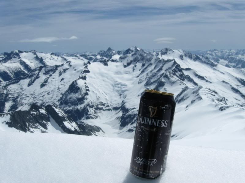
Took a short break at the base of the east ridge and roped up (mainly for training purposes) and began the slog to the summit. Met two skiers coming down from the summit - sure looked fun watching them descend. The summit ridge is as beautiful and classic as I had heard with nice bucket steps all the way to the summit crest - although for a true apline finish, I would have rather kicked my own steps up virgin snow. Made summit just before noon, giving us an 8 hr. time from car to summit. Quick summit photos and then a long slog back out. Back to the car a little before 5 pm - roudtrip time roughly 14 hours. The trick was to just keep moving! Great partners, great weather, insane mountain views, and powerbar bites to keep me going!
Photos:
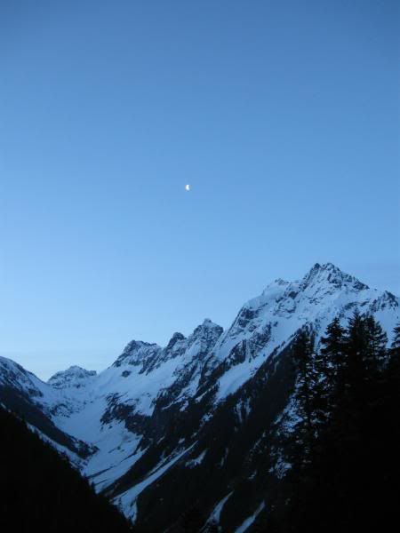
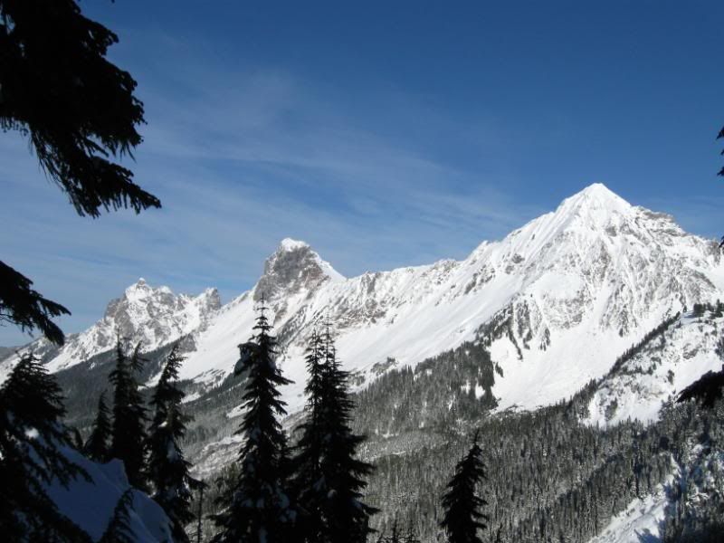
Johannesburg Mtn.
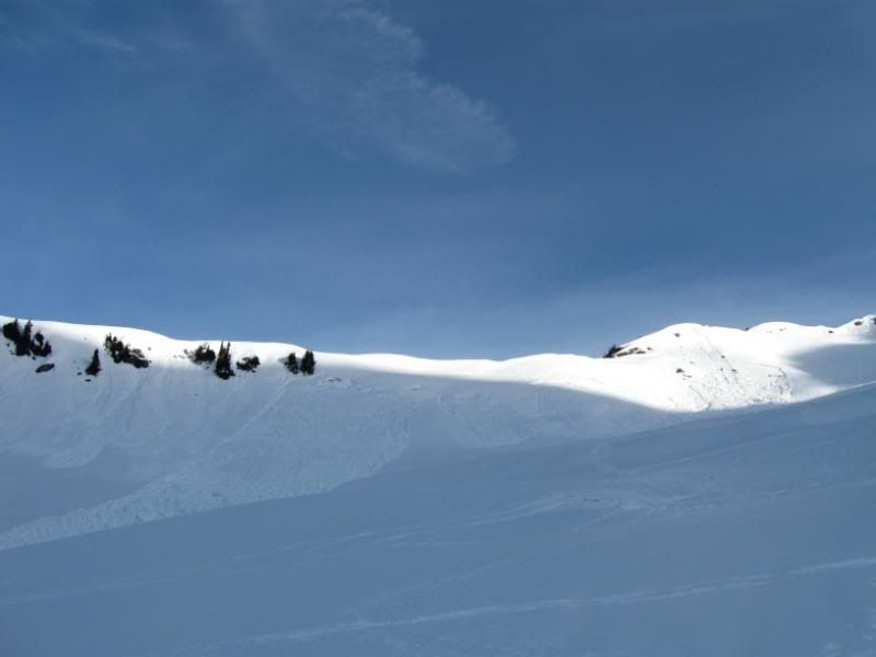
Slopes below 'hammered ridge'
Slog up Inspiration Glacier
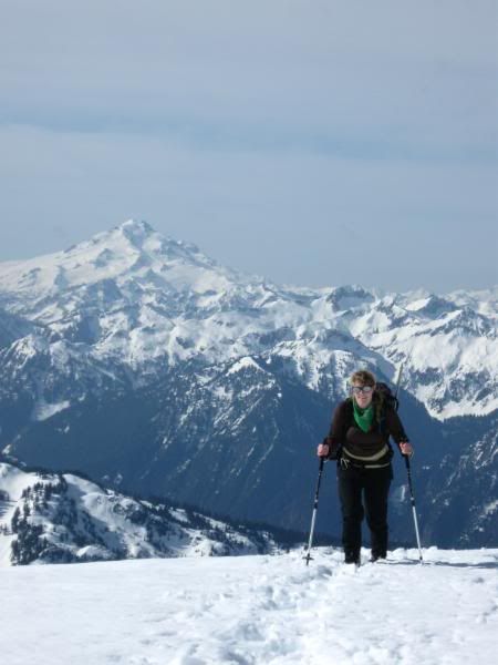
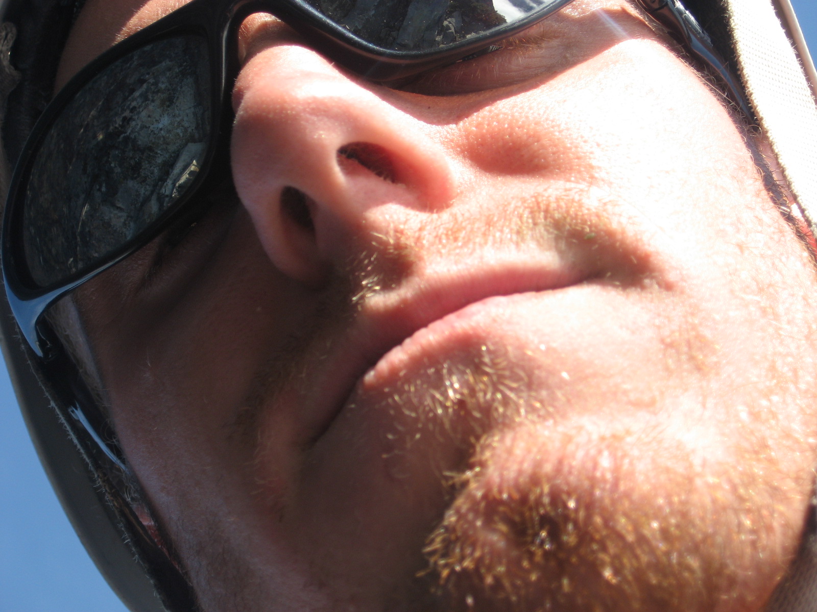
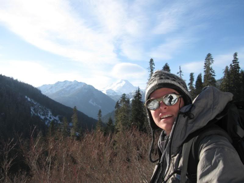
Eldorado and me
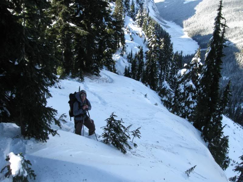
Summit push
Summit Shot
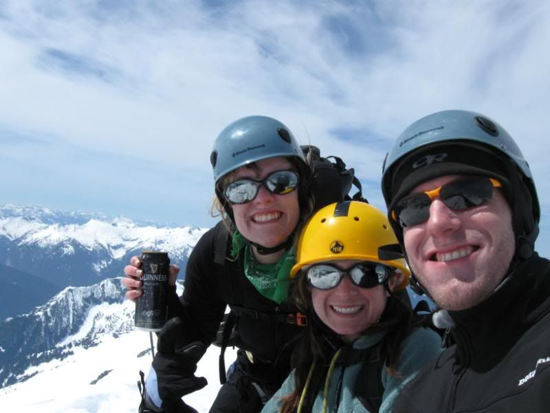
Summit Guinness
Gear Notes:
sunscreen
Approach Notes:
thanks to those who hammered out a fine trail
-
Good work! I never tire reading reports on the Tooth. what section of the climb were you kicking steps in your rock shoes?
-
way to get her done! me and a team of 7 were up near lone tree on saturday - didn't make summit

visibility awful that day
-
way to git her done
-
and you are welcome on board

-
Goin up baker in May via easton glacier - leading a group
-
sign me up for the picketts!
-
Nice Lukey! But whats this hangover business? You could have been training!!!
But of course that is training
ha ha ha
-
we all want pics!
-
-
Oh, and by the way. REI sucks. Don’t buy their bikes-they’re dangerous.
hows that?
As a hard working emplyee (sometimes) I am always curious what the outsider thinks. Great tr by the way - love the pics!
-
way to go! did you solo?
I've thought about soloing the ne buttress; might do that when the weather improves
-
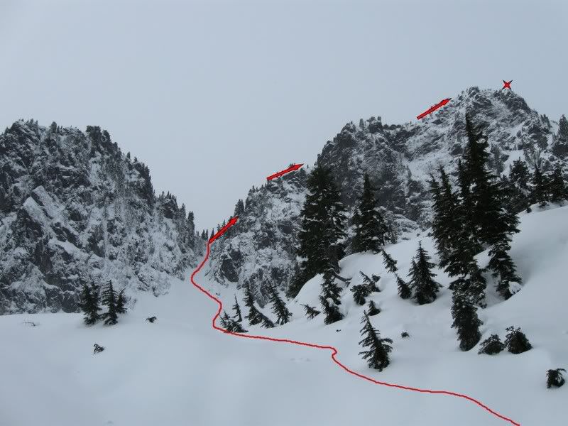
looks like fun! what direction/peak are we looking at in the second to last photo?
-
nice work gentlemen!
-
Trip: Bryant Peak - East Gully
Date: 2/1/2009
Trip Report:
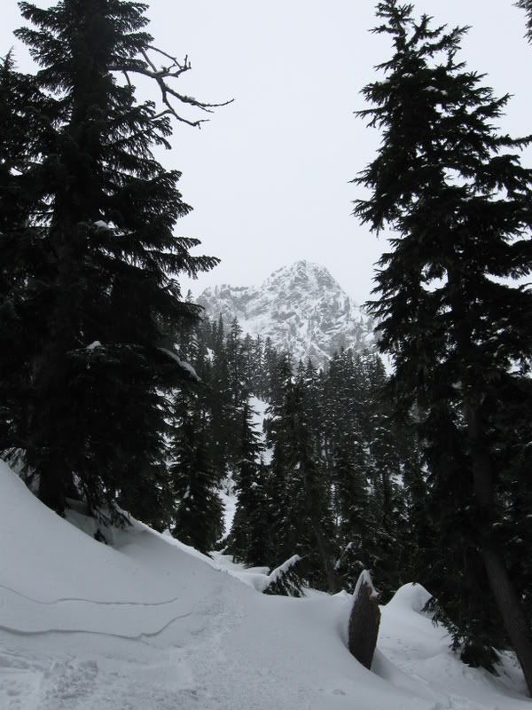
How does one cure the common hangover? By taking a trip into the alpine!How does one manage a sunday ascent somewhere without putting superbowl plans in jeopardy? By heading over to the Tooth's nearest neighbor - Bryant Peak. While not so much a climb as it is a jaunt and considerably less technical than others in the snoqualmie area, Bryant offers a feeling of seclusion that you won't find on the other local peaks. Plus it offers a great alternative when Chair and Tooth's classic winter routes aren't in shape.Still woozy from the night before, I hit my 5 a.m. alarm and managed to squeeze in 2 more hours before guilt overcame my tired body and I dragged myself up. My sister had readily agreed to join me on this little trip, so we packed and left in a hurry.Drove up to alpental and began hiking by 9:30. Light snow falling, but the local peaks were fully visible. Lots of people out. Bryant Peak between the trees
Made it to the great scott bowl in just under an hour, followed some ski tracks which brought us just before the slope, then kicked steps up to the gully entrance.
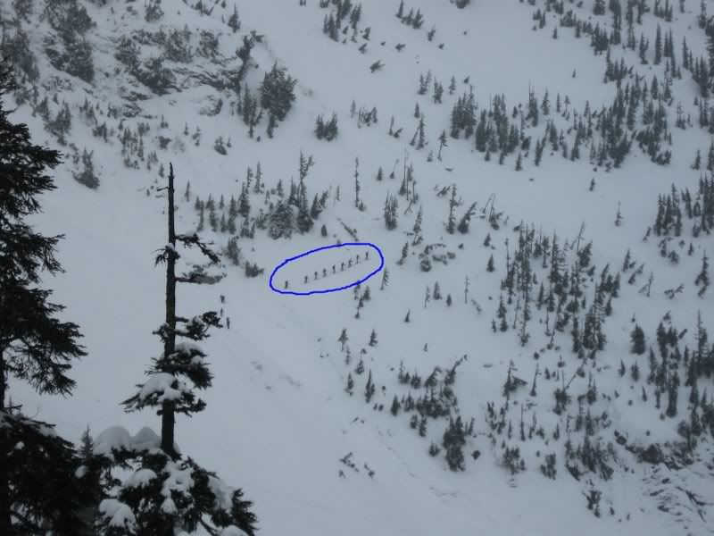
Large party across the valley - heading to snow lake?
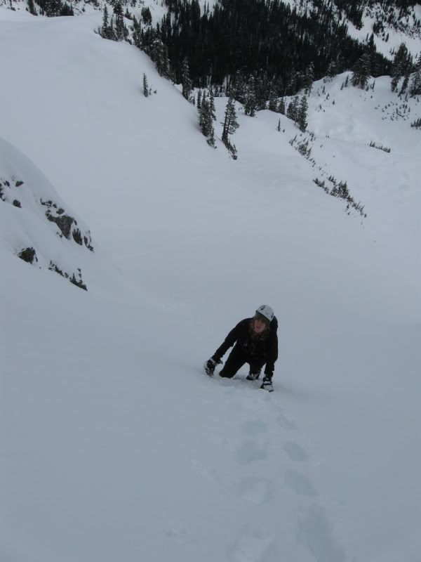
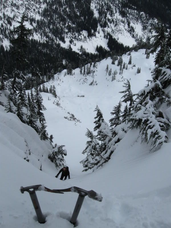
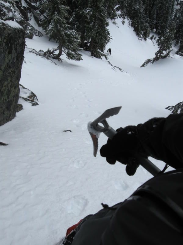
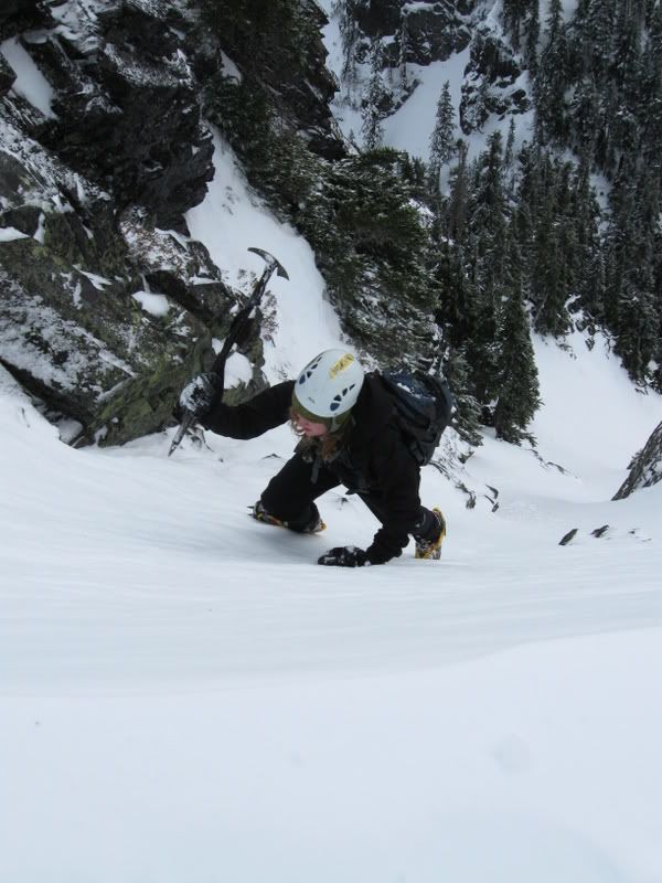
Took a quick water break at the base of the gully and ditched snowshoes/poles; slapped on crampons and pulled out ice axes. The gully isn't very long, but it narrows and steepens near the top - prob. 45 degress at the most. Snow was deep early on, which made step-kicking hard, but thickened toward the saddle
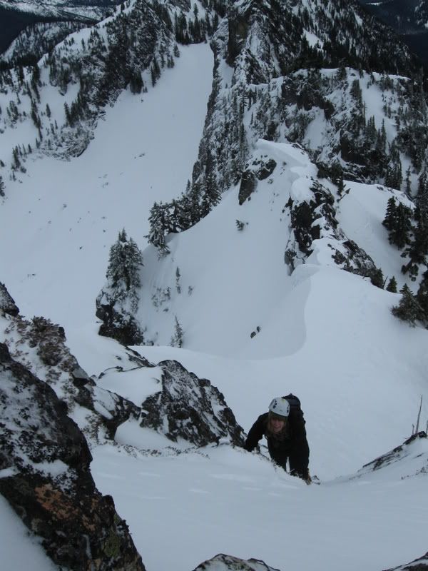
From the saddle, the summit lies maybe a quarter mile toward the north. We veered to the right immediately, staying in the trees, while gaining the ridge, which we followed almost all the way to the summit. The ridge is interesting, with steep sections of rock and snow/ice gullys. We hiked up steep snow along the ridge, weaving between trees and climbing over short rock bands. Early on there is a steep gully (50 deg) that cuts up between the rock bands, which could be bypassed by dropping down low and around. We shot straight up it - mostly snow, some ice, lot of fun!
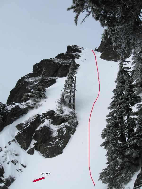
Once up that gully, take path of least resistance to the top. Plenty of options. Easier ground, with more exposure, is on the ridge proper, which we took straight up and over a short rock step, then cut across steep slopes to the narrow summit

Becky, with the twin mountain crowns of Chair and Kaleetan
From the summit, we could see many skiers in the great scott bowl, as well as a fairly large group directly below the summit. It felt nice to be this high up and isolated from the usual crowds in this area. On descent, I noticed a couple trees wrapped with slings near the entrance to the gully. And while steep, rappels felt time-consuming and unnecessary for descent. But perhaps with changing conditions it gets more icy and hazardous? One thing to mention - it is possible to bypass the exposed ridge by dropping down lower into the trees from the saddle, then traversing north for a ways until the rock bands above yield a large snow gully with trees scattered in it; a direct ticket to the summit. This avoids any troubles on the rock, steep snow and ice that the ridge offers but greatly reduces the alpine feel and quality to this trip.Back to car by 3:00 pm - just under 5 hours round trip. Great time, great partner!
Gear Notes:
ice ax, crampons, no special gear
Approach Notes:
via standard great scott bowl approach
-
SPEED RECORDS:not sure on the exacts but willing to bet that "Flyin Brian robinson" is a good prospect with having avereged 38-42 MILES PER DAY!! no rests days ha.
impressive!
Anyone have info/beta on the washington stretch of the PCT? Specifically, how long it takes? Any speed records?Thanks!
On foot or mountain bike?

foot fer sure
I've always had the desire to hike the breadth of washington cascades, so this helps. thanks all!
-
Anyone have info/beta on the washington stretch of the PCT? Specifically, how long it takes? Any speed records? Special permits required to hike the whole thing? And how does it work when you cross into canada - gotta carry a passport or something?
Thanks!
-
I assume the routes are bolted? what beautiful rock bro!
-
going back to "guidebook school" - check.
MapSource indicates a summit called 'The Pleiades'(7195 ft) should be somewhere in that range?
-
Trip: Shuksan/Tomyhoi (conditions) -
Date: 12/17/2008
Trip Report:
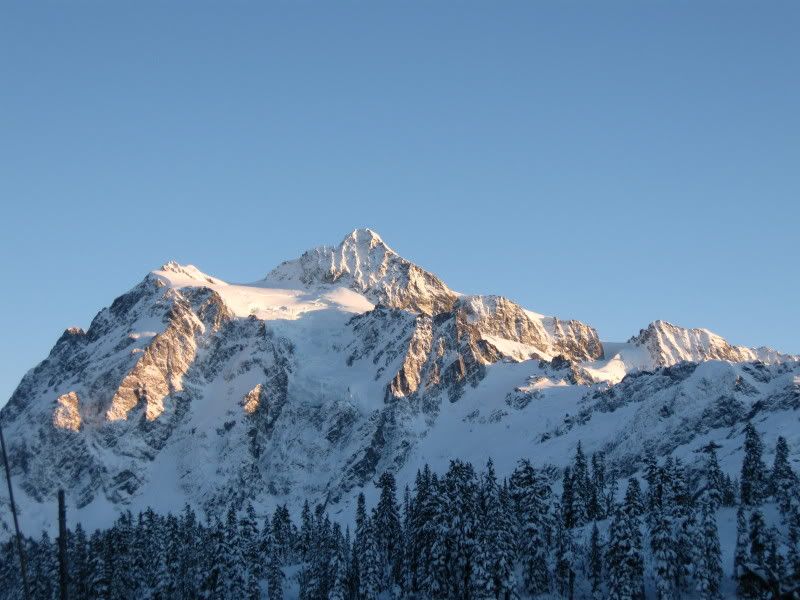
Not so much a trip report as a brief conditions update. With the forecast for monday/tuesday looking crisp, cold, and clear, Shuksan's white salmon route seemed a feasible option. Shoulda studied the approach details more carefully
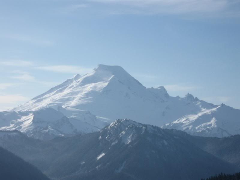
Secured Anthony(dabears) as an ever-willing partner and made the drive up to the white salmon lodge. Road in great shape all the way up - little snow and ice closer to the lodge. Our "attempt" started and ended from inside the warmth and comfort of my truck. While we admired the western aspect of Shuksan, the sun's fading light encouraged us to abandon our climb.
[img:center]http://i25.photobucket.com/albums/c82/LGullberg/IMG_0469.jpg[/img]
Being a north cascades newbie, I couldn't figure out from nelson's guide where the approach starts from the lodge. The white salmon was totally visible from the lot, but I've heard stories about how hard it is cross country through the valley. Factor in approaching darkness; Anthony and I were content to watch the sun fade and turn to other options.
Smoot's guide indicated that Tomyhoi Peak lay close enough for a one day ascent, without too much driving from our current location. Found the Twin Lakes road (3065) and took it for just over five miles. Easy driving for 1.5 miles until snow and ice began building up; flicked 4x4 on. Guidebook indicates its about 4.2 miles up to the trailhead but we failed to see any signs so we kept going until the snow came up to the axle. Stopped here and pulled out the snowshoes. Took a walk for about 3/4 mile and didn't see any sign of a trail, so we guessed we passed it on the way up
[img:center]http://i25.photobucket.com/albums/c82/LGullberg/IMG_0487.jpg[/img]
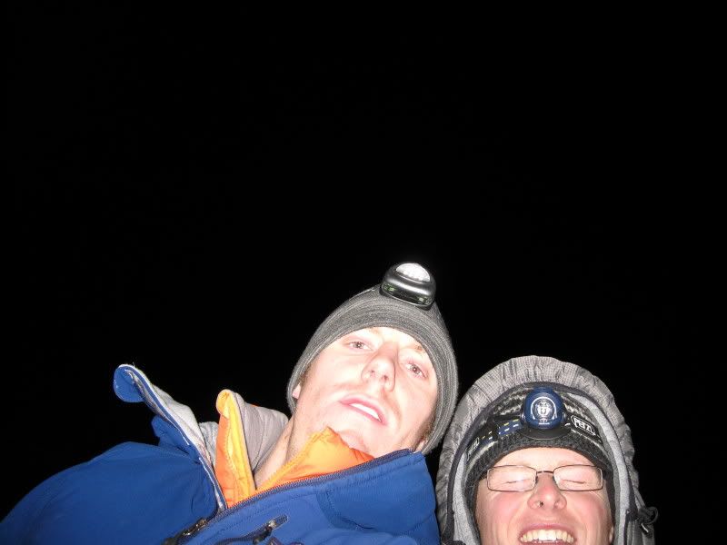
Newbs
[img:center]http://i25.photobucket.com/albums/c82/LGullberg/IMG_0494.jpg[/img]
Driving backwards proved considerably more difficult and time consuming. Got the truck stuck once; thank god I brought chains! Backed up to a sharp turn in the road and saw a bathroom off to the side. Signs a little higher up told us we were in the right spot. Shoulda paid more attention to the odometer!
[img:center]http://i25.photobucket.com/albums/c82/LGullberg/IMG_0497.jpg[/img]
"Sleeping" was painful - single digits easily, maybe colder, not really sure. Everything froze. 15+ sleeping bag not adequate
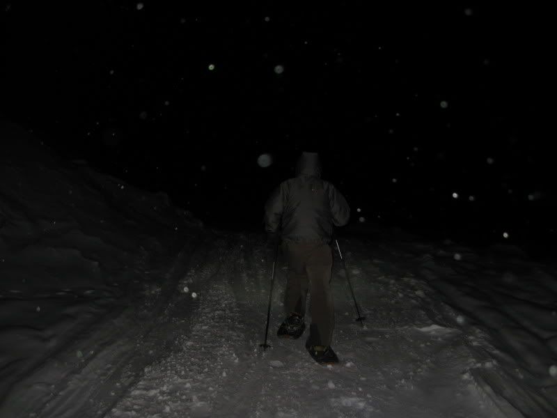
 Fought through a couple early cellphone alarms, until the cold drove us to get up and move around. Absolutely clear and still morning air, very cold. Put on the snowshoes and light packs, then started up the trail. Saw one other car pull up with a guy on skis and a dog. Didn't see where he headed.
The snowshoe in was perfect; wound up the hillside and received stunning views of shuksan and baker. This remote area of the nc is sure inspiring.
[img:center]http://i25.photobucket.com/albums/c82/LGullberg/IMG_0514.jpg[/img]
Came to a crossroads, left to yellow aster butte, right to tomyhoi lake - only there was no trail heading through the snow. I already figured we werent tagging any summit today, so I started kicking steps up the hill toward a ridgeline. Grand summits met our view. Spotted a lake (tomyhoi?) in the basin far below us and assumed the peak was situated above it, opposite the direction we were heading.
[img:center]http://i25.photobucket.com/albums/c82/LGullberg/IMG_0534.jpg[/img]
Two other snowshoers caught up to our tracks and we chatted briefly. One of them indicated the rightmost peak is yellow aster butte, which didn't seem to make sense to me. Anyone know these peaks and could kindly name them? Are these considered the 'american border peaks' or part of some other range?
[img:center]http://i25.photobucket.com/albums/c82/LGullberg/IMG_0528.jpg[/img]
Absolutely stunning summits! Beautiful, calm, remote, spectacular. Definitely heading back this way in the spring! All in all, not a bad trip - nice to check out some new areas and stretch the legs.
[img:center]http://i25.photobucket.com/albums/c82/LGullberg/IMG_0527.jpg[/img]
Gear Notes:
snowshoes, handwarmers (6 of ours failed)
Approach Notes:
4x4/all-wheel drive/chains reccomended for twin lakes road.
Stop at Graham's Restaurant in Glacier for post-climbing chow!
-
give me a holler if u are headin in that direction! Love to explore that area
-
always down to get out into the hills!
email: dearfriar@hotmail.com
~luke
-
way to go! looks like a more "classic" climb in winter!
[TR] Eldorado - East Ridge 5/17/2009
in North Cascades
Posted
one of the few, I know.