


alaska73
-
Posts
7 -
Joined
-
Last visited
alaska73's Achievements
")
Gumby (1/14)
0
Reputation
-
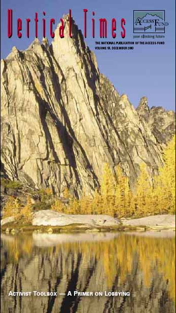
From the Vertical Times front cover photo description: http://www.accessfund.org/pdf/VerticalTimes55.pdf "Located in Washington's remote Alpine Lakes Wilderness Area, Prusik Peak expemplifies what's at stake when the federal land management agencies consider the legality of fixed anchors." Somebody opened a can of worms...
-
Thanks guys. Glassgowkiss, what's the difference between the left line and the right? I don't have a picture of it. Can someone post one? Anything else you can tell me about the route? I don't imagine that raping it in a storm would be that easy.
-
Great! I'm totally psyched. Thanks again for the good info. I might end up on the Kahiltna as well and am looking for similar type climbs. I've heard that there is a moderate couloir that climbs up the left side of the Mini-Moonflower buttress. Has anyone done this? Is it a worthy objective? What else in the area (not on the big peaks) is kind of a moderate classic?
-
Wow, thanks for the great beta. What kind of climbing did it look like above where you turned around? Was it mixed or rock? From pictures it looks like linking snow couloirs and short rock steps, or does it stay more on a ridge crest? How much rock pro did you need/take? I appreciate all the help!
-
Yeah, looking at pictures, I'm not so sure that the '85 second ascent team really took a different variation than the Japanese. So how is the climbing on Dan Beard? From what I've researched, there's a route that goes up the a couloir on the south ridge? (the left hand ridge looking at it from the Mountain House) then up the south face to the top. Is this the best line? Has anyone done this or any other route? Looks like a very cool peak. Thanks!
-
Hey thanks guys. I really appreciate the info. This is a great website. I have another question about the couloir. In the 1986 AAJ account of the second ascent, they say that the couloir splits about 1000 feet above the glacier and the Japanese took the right fork. I've seen pictures of the climb and it looks like these are two major variations. It looked like the right way was substantially harder and the left way looked very easy until its top, where it also splits into two minor variations. Any thoughts?
-
I'm planning a trip to the Ruth this spring and I'm looking at the Japanese Couloir on Mt. Barrill. Can anyone offer some info on it? It looks like from pictures and the AAJ descriptions that there are two variations. Left looks easier, right looks harder. Has anyone out there been on the route? Thanks!