Search the Community
Showing results for tags 'eiley wiley ridge'.
-
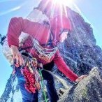
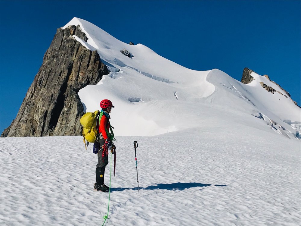
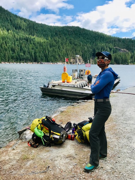
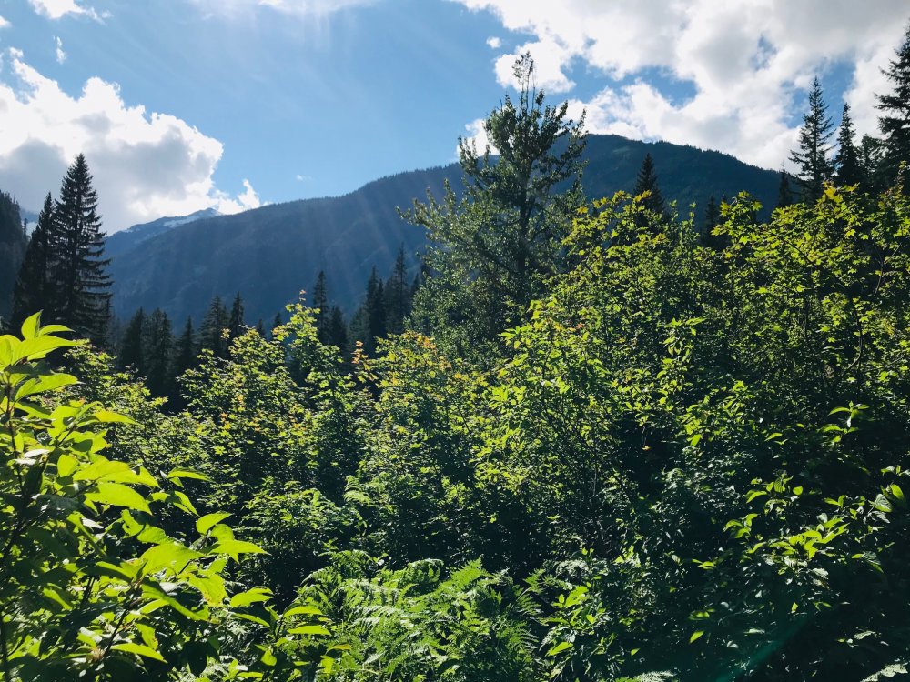
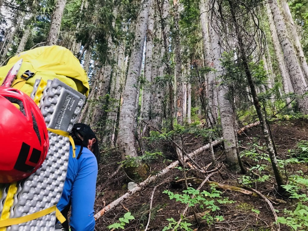
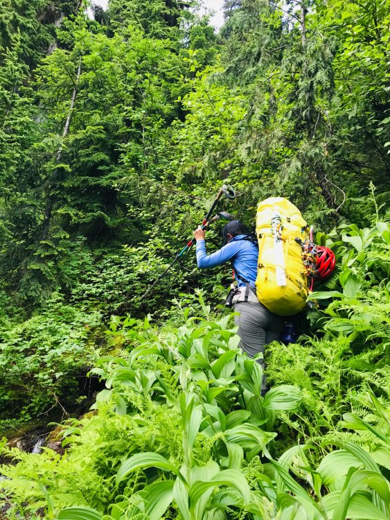
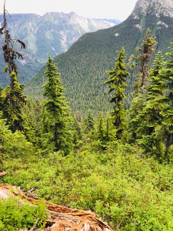
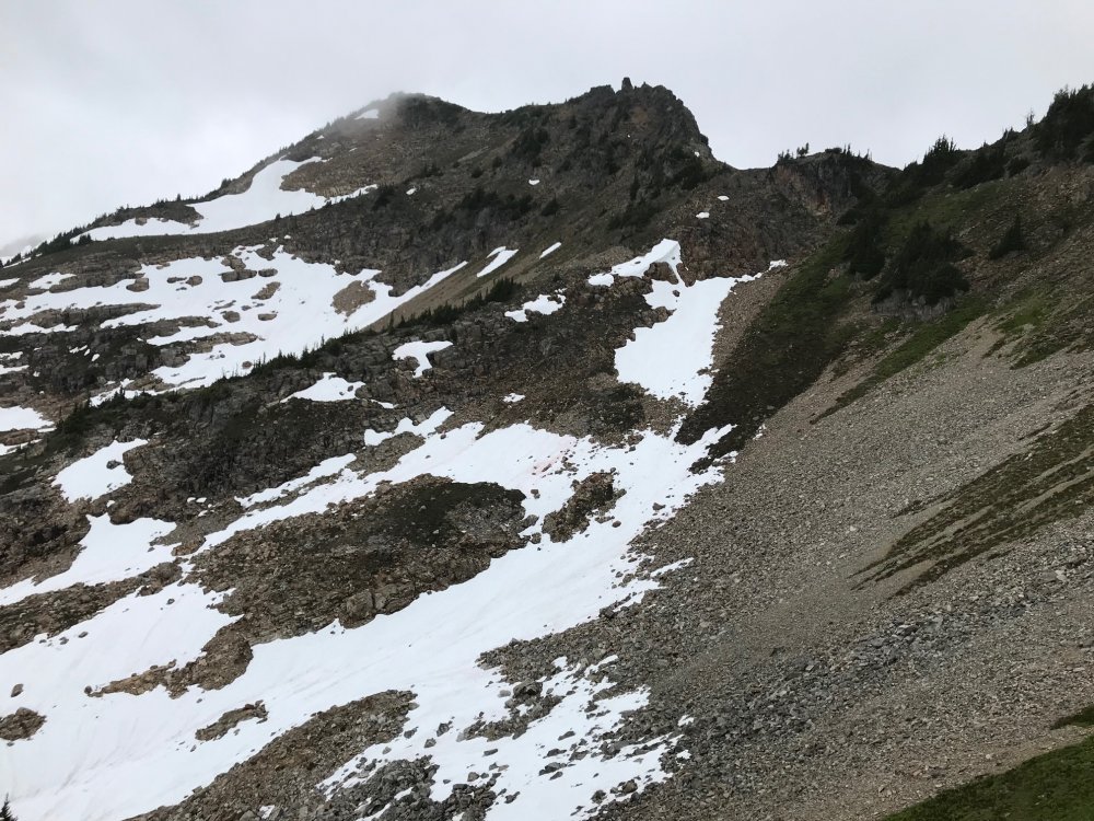
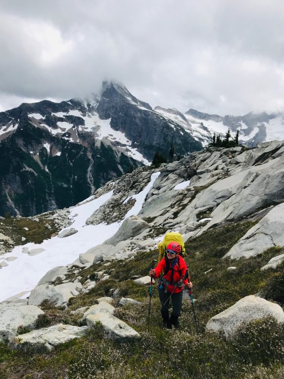
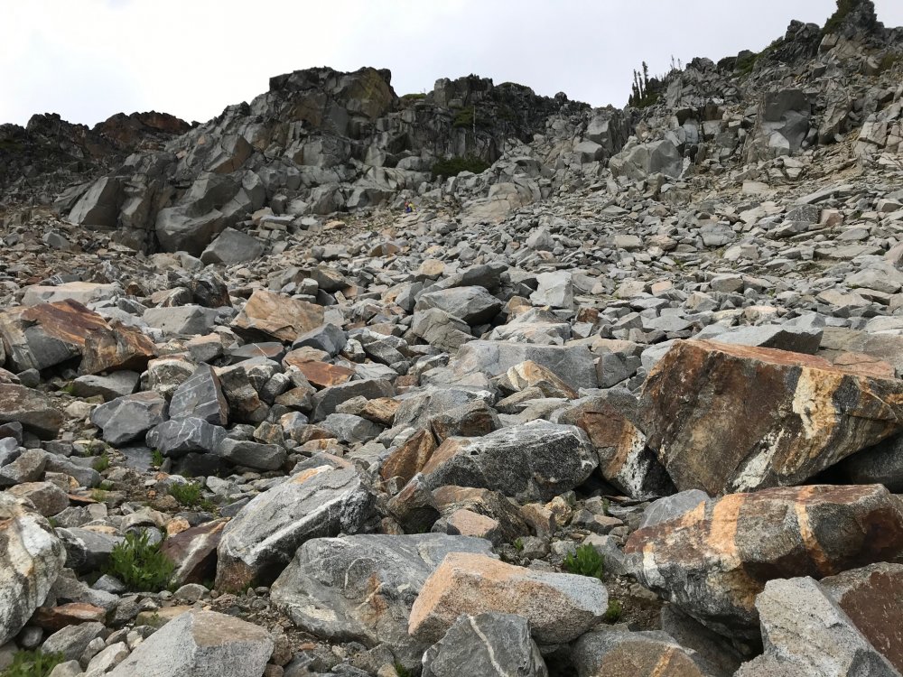
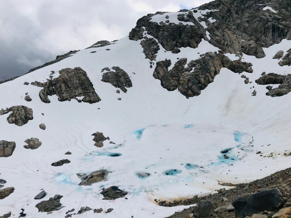
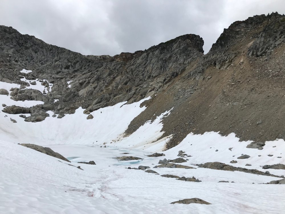
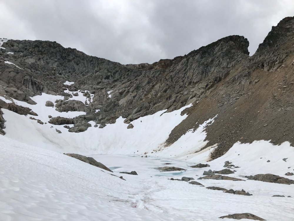
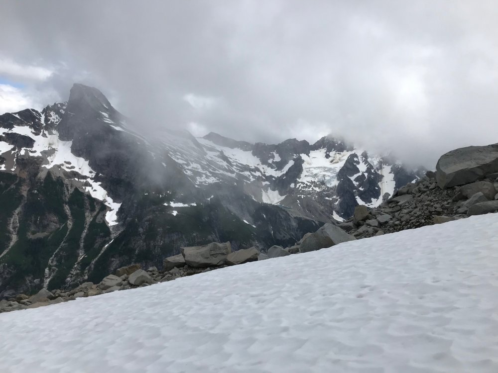
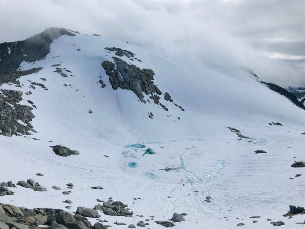
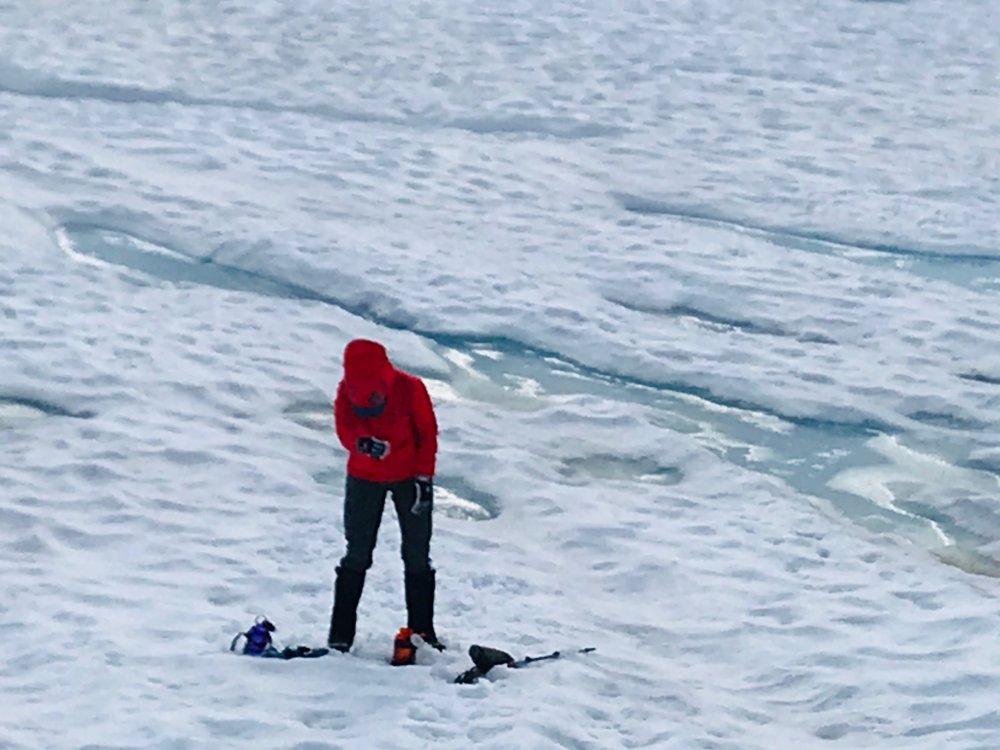
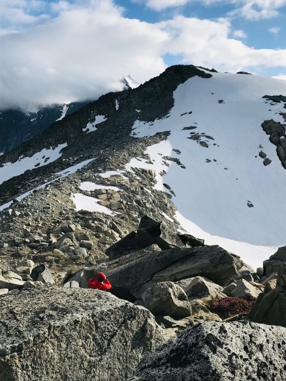
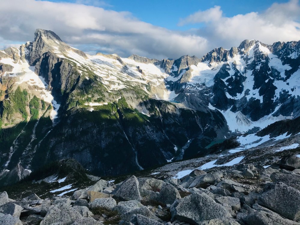
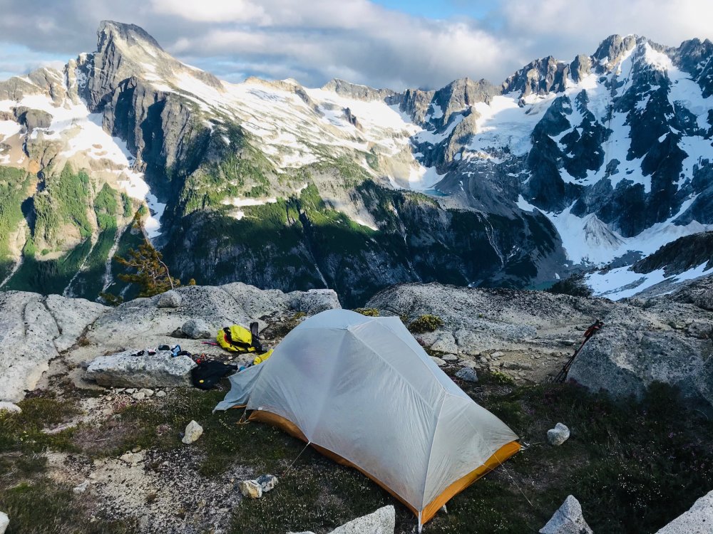
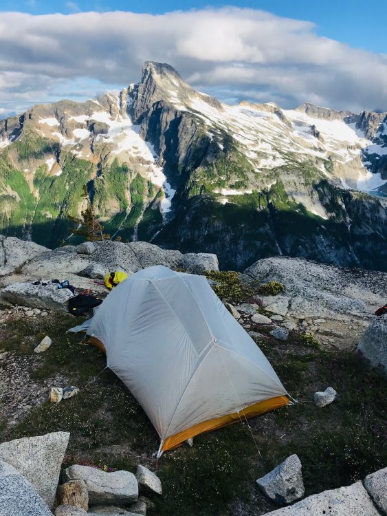
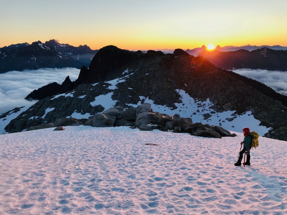
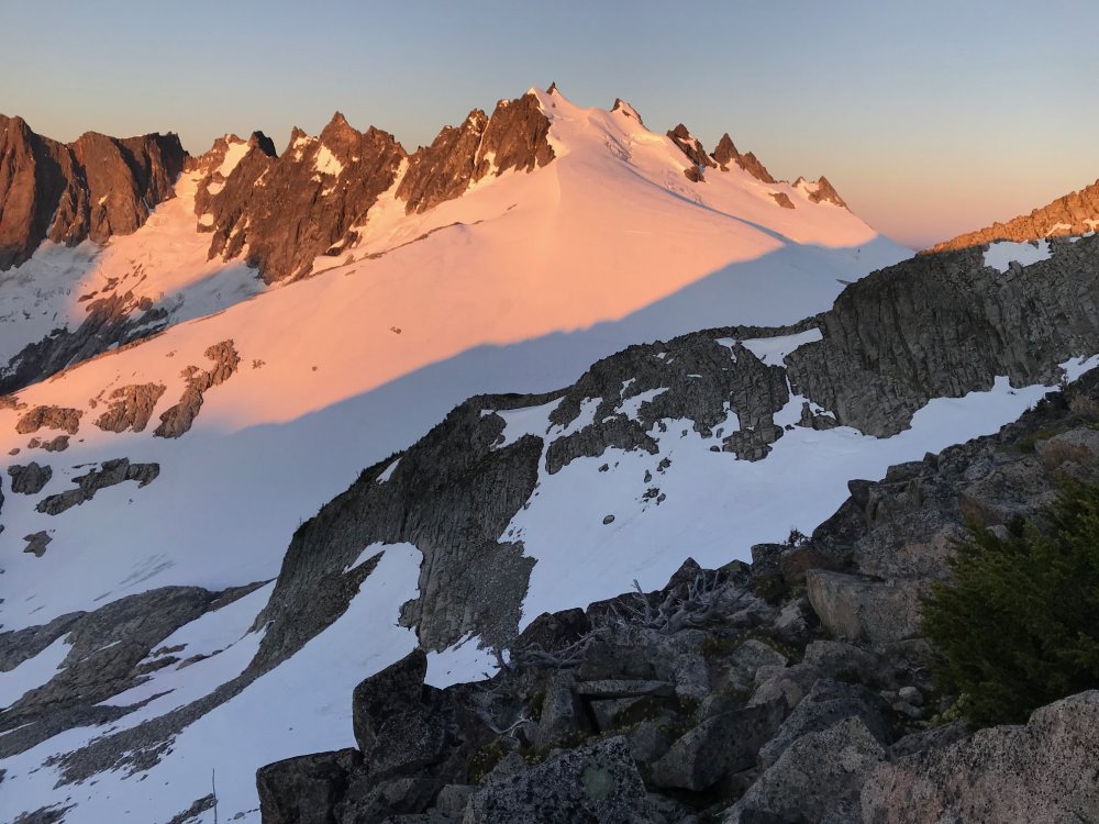
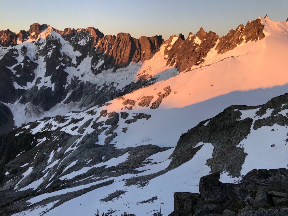
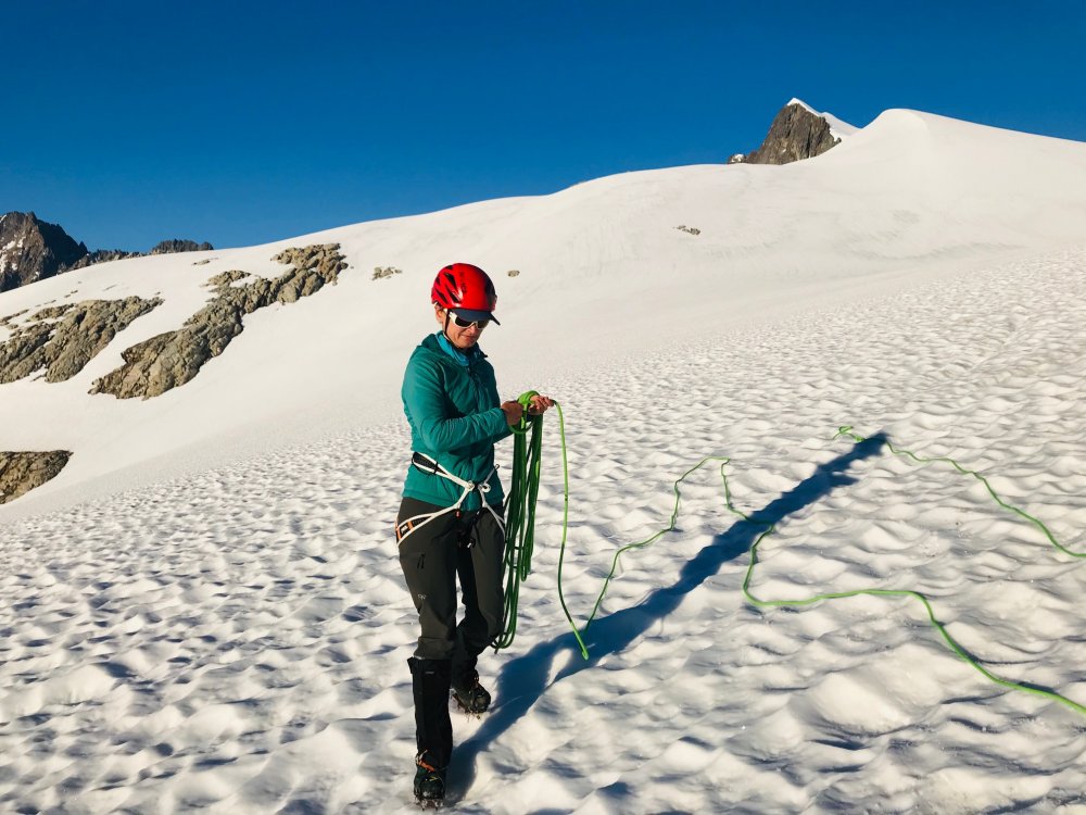
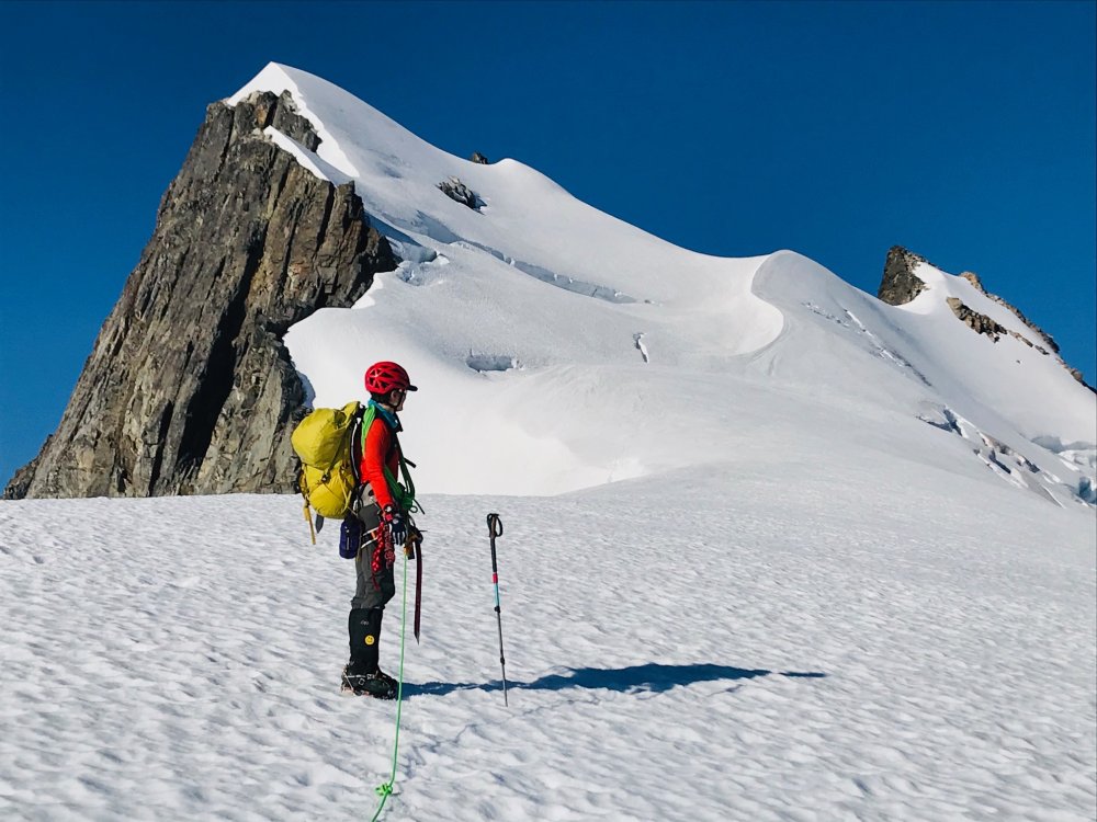
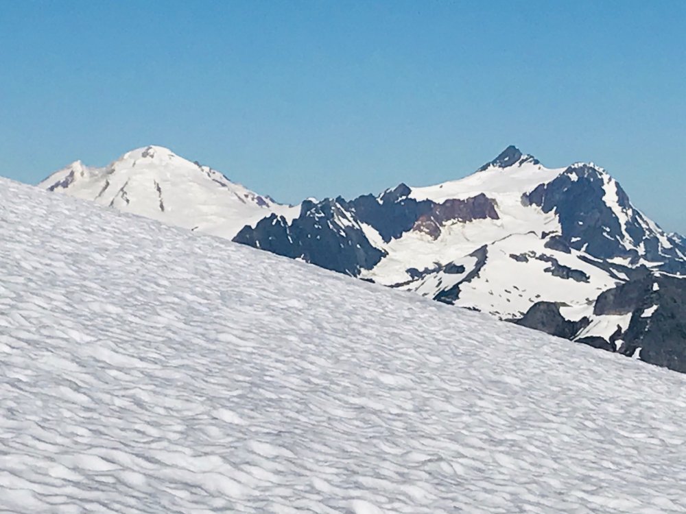
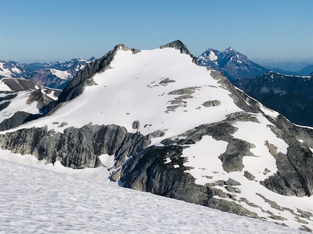
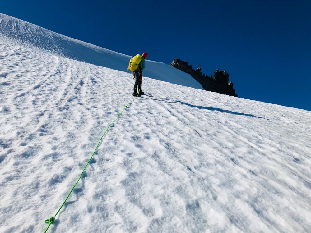
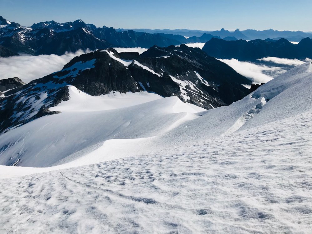
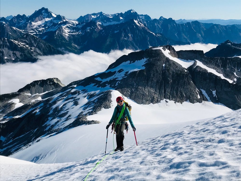
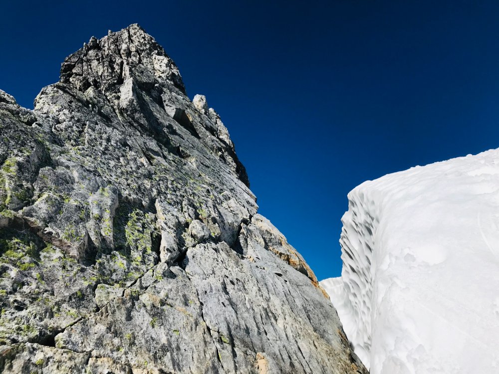
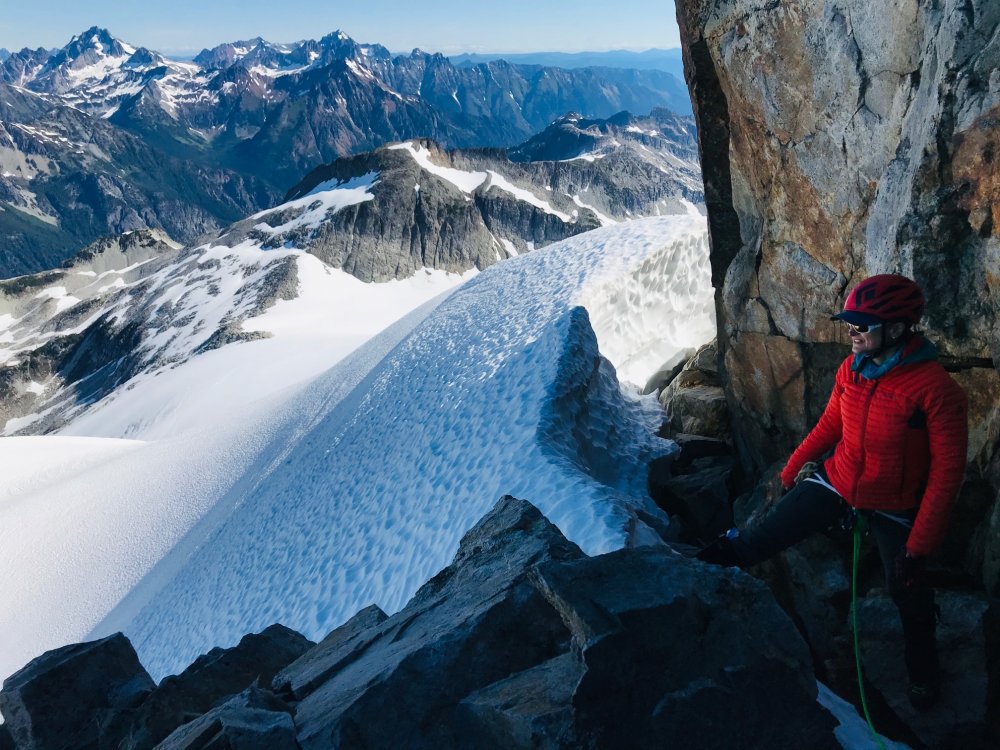
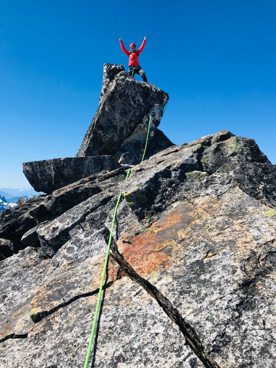
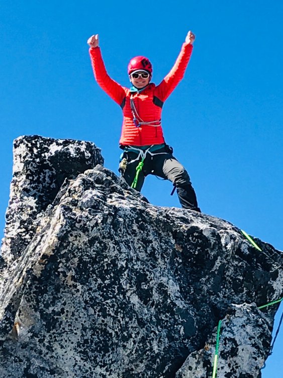
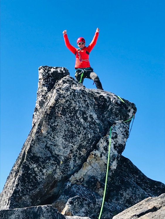
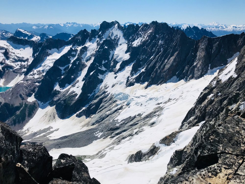
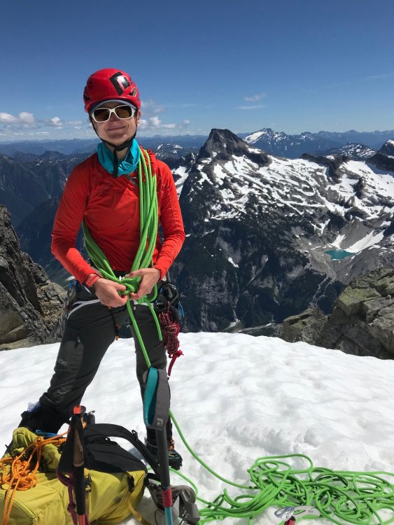
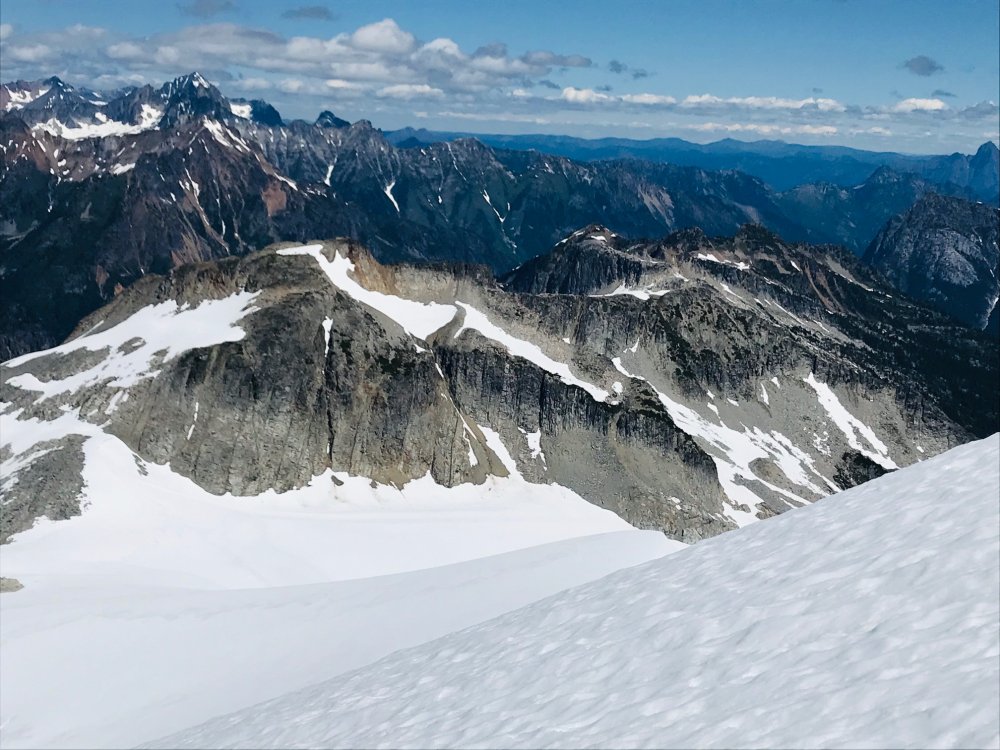
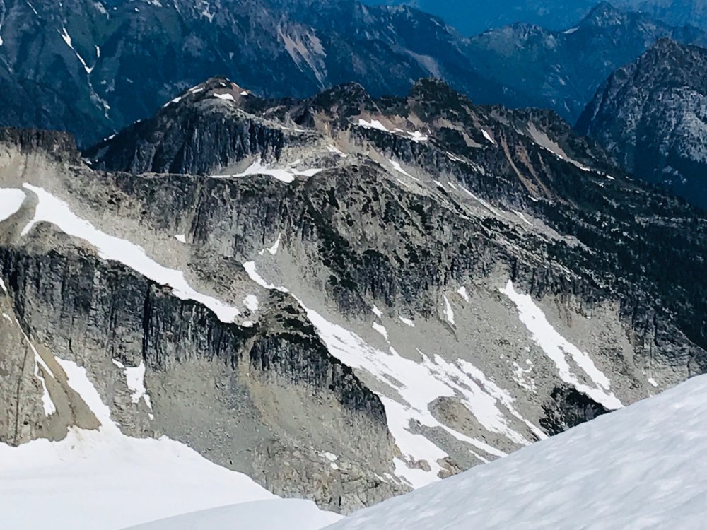
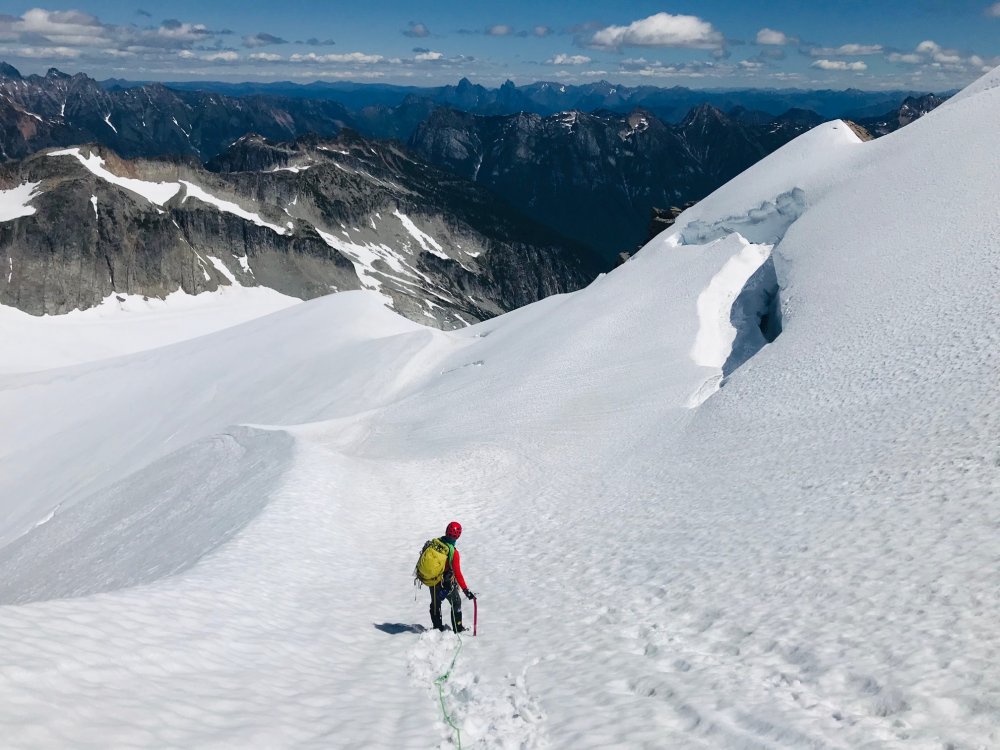
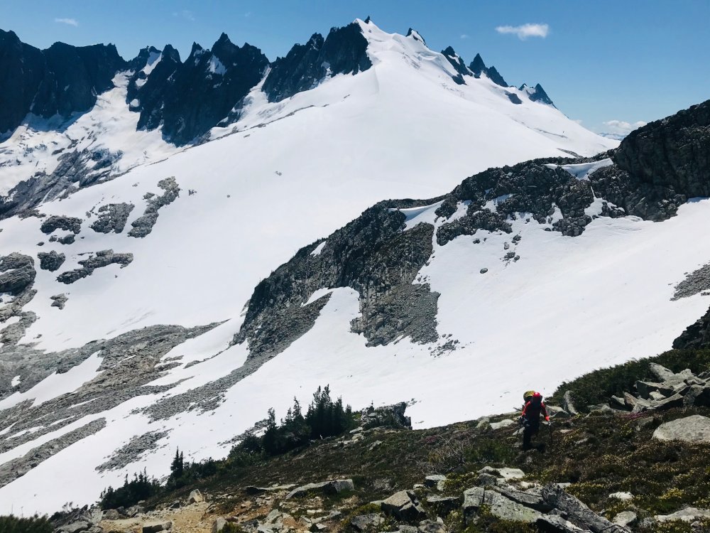
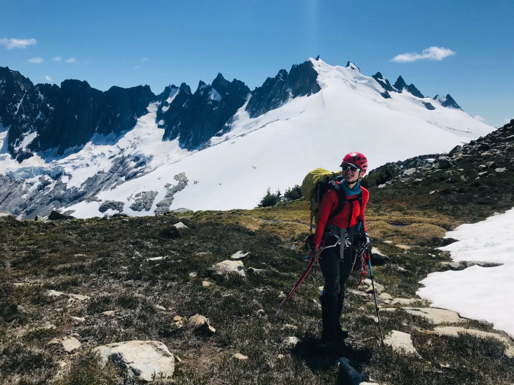
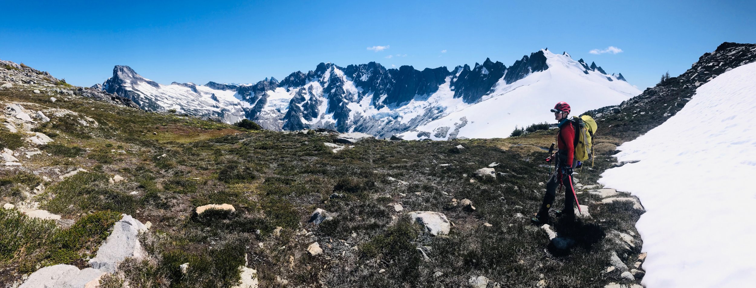
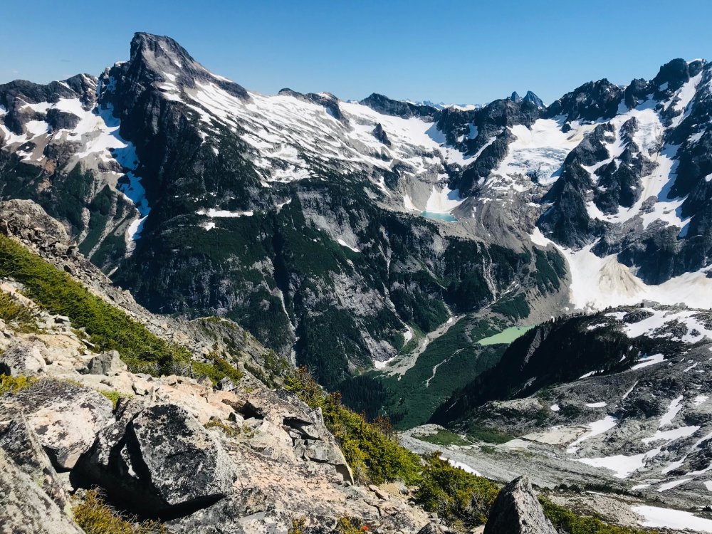
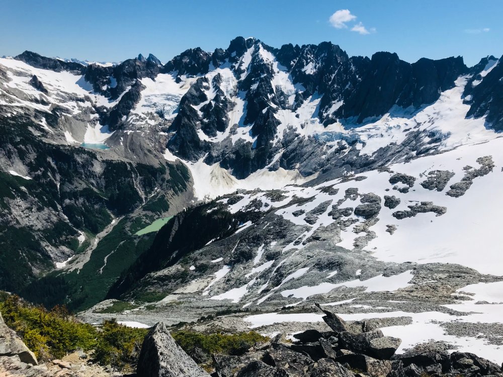
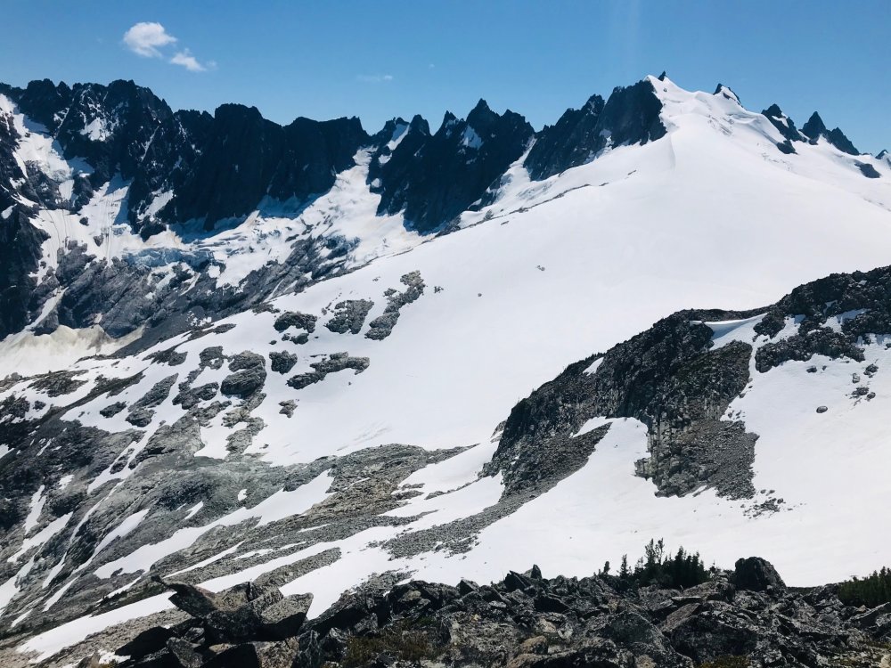
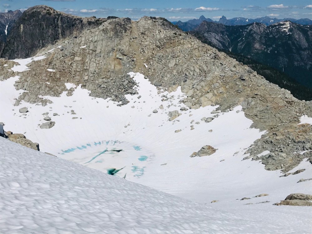
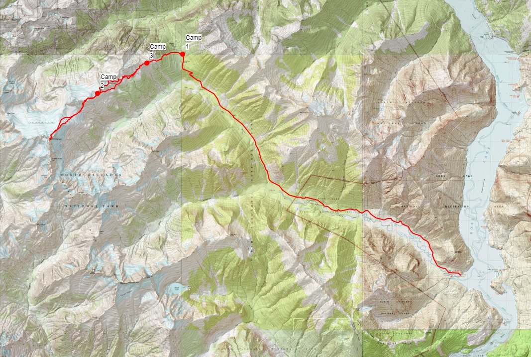
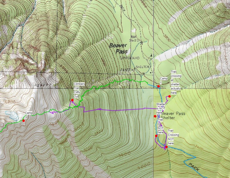
Trip: Mount Challenger - via Eiley Wiley Ridge Trip Date: 07/25/2020 Trip Report: YouTube Video (so the video does have a couple clips out of sequence in the rock climb section and it ended abruptly due to all the GoPro batteries and chargers having run dry at the last clip). Hot off the NF of Buckner and barely recovered we had a weather window for Mount Challenger but only for a 4-day trip. Our full Pickets traverse we have had planned the last couple seasons keeps either getting weathered out or life gets in the way. So, to do it in 4 days we planned on doing it from the Big Beaver trailhead with a boat shuttle then via the Eiley Wiley Ridge knowing that this was also going to be the harder approach option. Day 1 - Thursday Got to the Marblemount ranger station at 6:30am to get permits which was good timing, the crowds showed up shortly after. Picked up the boat shuttle which dropped us off at the Big Beaver trailhead saving an extra 7-mile walk from the Ross Lake parking lot. From there an uneventful 13 mile and 3000ft gain hike to the Big Beaver campground. In bed around 8pm for an early start. Day 2 – Friday This was going to be the hard day. Up around 3:30am and a leisurely 5am start. We knew from beta to expect some awful bushwhacking to gain the ridge. While we did pickup the odd climbers trail in key places throughout the trip where anyone who goes through the ridge seems to funnel through the same few spots there always peter out shortly and you are left to your own navigation for 95% of the ridge. So, we started out full-on dense brush bushwhacking from camp and I think we picked more or less a fairly good line. But as you get higher there seems to be no way around hand over fist veggie belay climbing and bushwhacking through about 500ft worth of the 2000ft gain. Its all steep and virtually no sign of any climbers’ trails till you hit the very top. That took about 2+ hours and our clothes were full of pine needles inside and out. From there we spent another 6 hours getting across to the end of the ridge which was about 3 more miles after the 2 miles of bushwhacking. Mainly because we kept a middle line across the ridge until getting close to Eiley Lake. From there it looked like you could gain the ridge and do a high traverse over a large wide ridge. The topo map showed a relatively flat and wide ridge as well with only a single contour line and large bump. So, we gained that ridge only to find it ended in about 200ft cliff and wide chasm that was more than a few contour lines deep that did not show on the topo map. But from there looking back could spot what looked like a gulley down to the lake. That gulley was very steep, loose dirt/scree/boulders but it got us down to Eiley Lake. We blew a couple extra hours here. Had to exit that basin then took a line around another slope heading towards Wiley Lake. Once we popped over the boulder field looking down at Wiley Lake and across to the last half-mile of where we wanted to be it was getting late and very windy and the rest of the approach to our planned camp was in a whiteout so we found a small sheltered ledge in the boulder field with a great view of Luna Peak and setup camp. The weather was supposed to be clearing by late evening but had gotten worse. By the time we had camp setup and ready to turn in the clouds started lifting enough we could get some views of Mount Challenger in the distance. Day 3 – Saturday Another 3:30am wakeup call to calm weather and blue skies just as forecast. We figured we had a shot at it if the route was in. Dropped down the boulder field and up the knoll on the other side of Wiley Lake and started to decide our options for getting around Big Beaver Peak. The right-hand side was supposed to be a horrible traverse, so we ruled that out. The topo showed that a notch just to the left of the peak may be doable, but we did not want to get suckered into another cliff. Poking around the top of the knoll we spotted a heather gulley that looked like a wider and longer version of the descent gulley getting to Eldorado so we headed down that which was about 1000ft loss taking us down a large snow field and around the buttress to the base of the Challenger Arm. The route looked like a straightforward walkup, but the summit block and bergschrund are hidden from view, so we roped up and headed up. No issues all the way and the bergschrund had not started to open. Once we got close to the summit rocks there was a steep snow slope with a large moat. We had beta that showed you could scramble the first set of rocks or go around them. So, we split the difference and scrambled up a bit to clear the first part of the moat and then dropped back down into the moat and traversed around and found the base of the rock climb. The 5.7 rock climb was straight forward. We’ve read reports pegging this move at between 5.5 and 5.7. After doing it I think the rating depends on how long your arms are. Only 50ft long and 4 rusty pitons. And brought a .5 cam to backup the crux move. Past that the rap slings are a couple easy moves up and another 30-foot scramble to the summit block which we belayed and set a handline. The 40m rope was long enough for the rappel with just a few feet to spare. Easy scramble and walk back down from there then the 1000ft slog back up the gulley and back to camp. We wanted to get back down to the Big Beaver camp before dark so we took a more straight forward line back which still was a lot of mini-navigation stops and a lot of little meandering through the terrain and a bit of solid bushwhacking through the trees in a couple places. Camp is about halfway up the right side of the boulder field in the pic above of Wiley Lake. Tucked into a little ledge looking out at Luna Peak. We did not hit the ledges at the far end of the ridge till about 9pm and there was no way we wanted to navigate the descent in the dark. So, we pitched camp on a snow patch at the ledges. Day 4 – Sunday Another early start and picked up the bit of climbers trail at the very top of the Eiley Wiley Ridge. There were climbers trails heading both left and right here so we went right and that trail stopped in about 40 feet. We then checked the left trail and figured we had found something that we missed on the way up. It probably descended a couple hundred feet as it got fainter and fainter till it stopped at a cliff. And then began the hand over fist veggie belay bushwhacking and tree climbing again. Having to move back left, up 100ft over a rock band, more bushwhacking and side hilling for maybe a tenth of a mile. Eventually we were able to start moving back down and found lines that keep us more or less moving straight back towards the Big Beaver camp doing our best to navigate around fields of devils club. Still took just as long to descend as it did to go up. Once down took some navigation and finally realizing that the GPS was not matching up with what was on the topo map. Turns out the GPS was putting us accurately on the map but the trail and shelter locations on the topo maps are not correct. Our GPS was showing us on one side of the trail then the other in multiple places we checked where we took long hikes in both directions crisscrossing where the trail was on the map. We finally gave up trying to pinpoint the trail by GPS and topo and found the large stream we knew intersected the trail and passed by the Big Beaver camp and followed the stream back uphill. Turned out the GPS and topo had us going in the opposite direction. So, word of caution, have your navigation skills through dense brush where you cannot see any reference points down and you can only see 50 feet in any direction. The 2nd topo screenshot below shows where we were looking for the trail and stream crossing and where they are actually located. Once we got back to the Big Beaver Camp, we had to calculate how fast we had to move to make the boat pickup. So, for 13 miles out with short water/snack breaks we had to do about a 3mph pace with the heat going up to at least 80 to make the boat. At one-point Rodica thought she was hallucinating seeing things jumping all over the trail. I looked down and at first glance though we were standing in a swarm of spiders. Looking closer the trail for about 100ft was full of tiny frogs jumping all over the place. We made it at 3pm on the dot in 5 hours. Thankfully, the boat was about a half hour late so we could soak in the lake for a while. With all the camera and phone batteries dead by Day 4 didn't have any more pics or video. It was just a mad dash to the finish line. Overall, some of the most rugged, remote, and scenic wilderness we have been though. Awesome trip at times brutal and almost demoralizing gaining and descending the Eiley Wiley Ridge (and we had a high bar already for horrid bushwhacking). Even with a lot of preplanning, gathering beta on the ridge and getting some tracks from others it was a lot of navigation work and on-the-fly decision making doing the ridge approach. ~11,000ft gain and 46 miles over 4 days. Gear Notes: 4 alpine draws, .5 cam, 40m rope, basic glacier gear Approach Notes: The climb itself was easy. The bulk of the work and trip report are on the Eiley Wiley Ridge approach.

