Search the Community
Showing results for tags 'marcleclerc'.
-
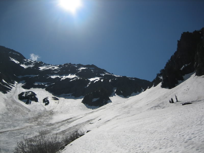
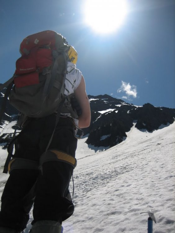
Trip: Cheam Peak - North Face Date: 6/10/2009 Trip Report: After my grade 12 graduation this past weekend I wanted to kick off my summer by doing something big and committing and to do it solo. I look up at the North side of Cheam every day and I had noticed that the 1976 route on the North Face looked to be in nice condition, so I put that on my itenerary. Cheam Peak has some burly relief on the north side rising just about 7,000 ft from the highway to the summit, the first half of this gain in elevation is mostly steep, dense bush and the upper half is composed of a mixture of steep snowlopes cut by steep rock bands of crumbling choss.... perfect! I packed up my bag, bringing no rope, harness, or protection other than my ice tools. I threw in some food, 2 liters of water a sweater and some shell pants too. My parents forced me to carry crampons even though I knew I wouldn't need them.... I mean seriously, I'm graduated! I set me alarm for 5:15 AM and slept a few hours, then I had some breakfast got dressed and woke up my Dad to give me a ride over to the base of the mountain. He dropped me off on a powerline road branching off the Highway just East of Bridal Falls. I started hiking up at 6:00, hit the creek draining the face in a few minutes then reached the wooded ridge I would follow a few minutes later. I was hiking up a bear trail low on the approach when I ran into a big black bear. I the bear politely let me pass and I had no other encounters for the next two hours of thrashing up the ridge. At 8:00 I emerged from the forest onto the moraine and snowlopes below the North Face. I got my first real view of my objective then and was rather intimidated by the large steep face. I ate some food then hiked up the snow to the left of a large rocky outcrop then cut back right onto the knoll at the top of the outcrop. I started the technical climbing above the knoll at 9:00. I traversed some steep snow right of the knoll, then skirted around the bergshrund on some rocks to the left. I climbed up a short but terrifying rock step made up of crumbling, wet choss sprouting moss and grass. It was probably only about 5.4 but it was extremely dicey, especially the last 15 ft which was pretty near vertical. Above this I hit the long, right trending snow ramp leading to the NW ridge. This section was tiring and took a long time, I had to be careful not to slip and fall down the face but not linger too long and get hit by rocks falling from the summit. By the time I reached the upper NW ridge I was pretty tired of snow so I avoided the upper section of the ramp by climbing rocks to the right. The headwall was surprisingly easy but very exposed and the rock was awful. The last 200 ft to the summit was loose, exposed and steep, but 4th class gravel covered ramps led to the summit ridge and I topped out just west of the summit at 1:00. A few victory whoops later I was on the summit enoying some 'pop tarts' and cold water. I descended the west ridge then glissaded easy snow slopes into the bowl below the NW face and hiked a long ridge beside the drainage gully draining the NW face. The descent was quite fast and I reached the Highway at 4:00 PM, making this a 10 hour round trip... not bad. Overall the route was pretty loose and exposed but definitely worth doing once. For a grade like 5.4 and snow to 45 degrees it is quite serious. Definitely my biggest, most commiting solo yet. Pics: A long way to go... from the approach. Me and the North Face.. Objective Up the snow and rock bands, then around the corner onto the ridge. Looking down the NW ridge... I came up from behind the ridge. Looking west shortly before topping out. Self Timed shot of me on the Summit. Edited photo showing my route, I had much less snow, the rock crux isnt even exposed in this shot! Gear Notes: Ice ax... if you plan on using ropes and crap bring some LA pitons and runners and leave everything else at home. Approach Notes: Bushwack... lots of it.. unrelenting... look out for bears and wasps, I ran into both.
-
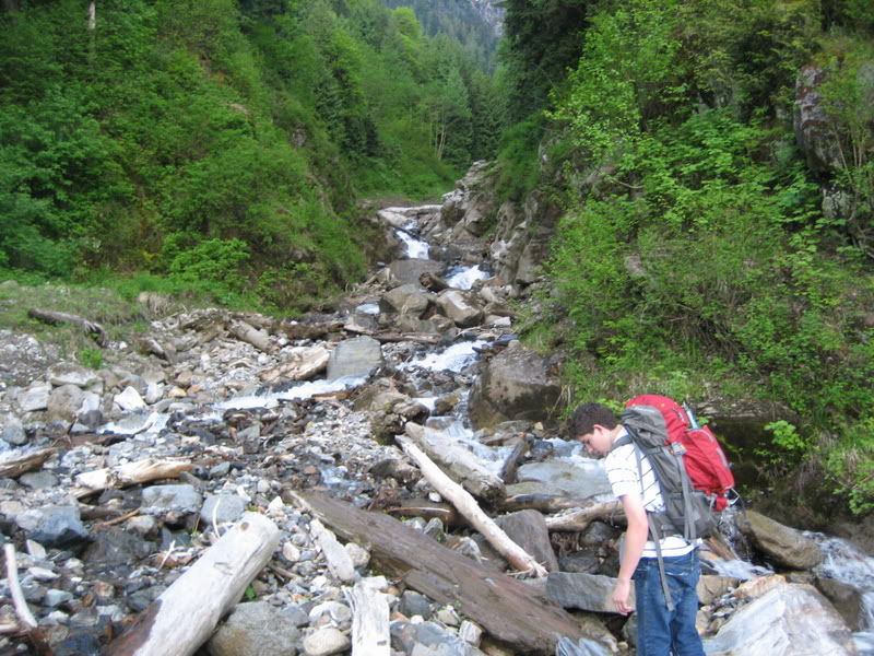
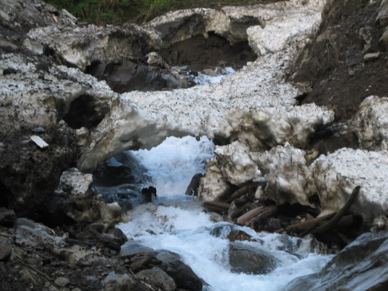
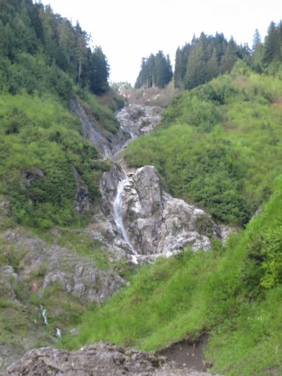
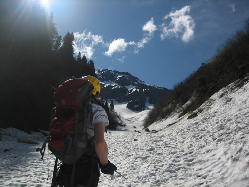
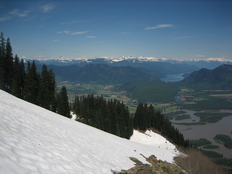
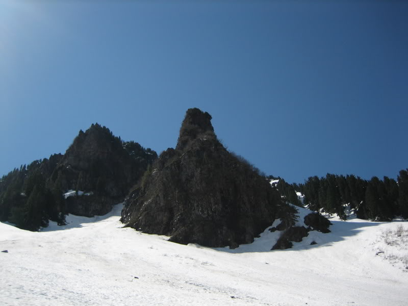
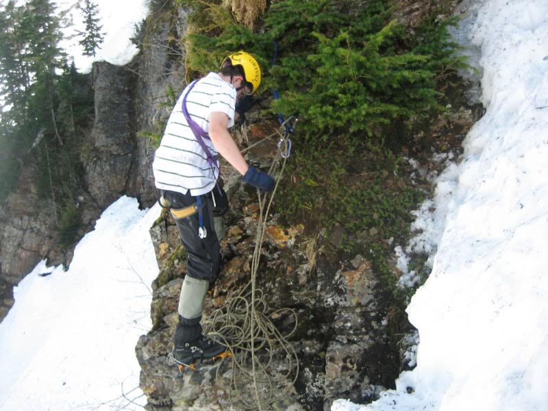
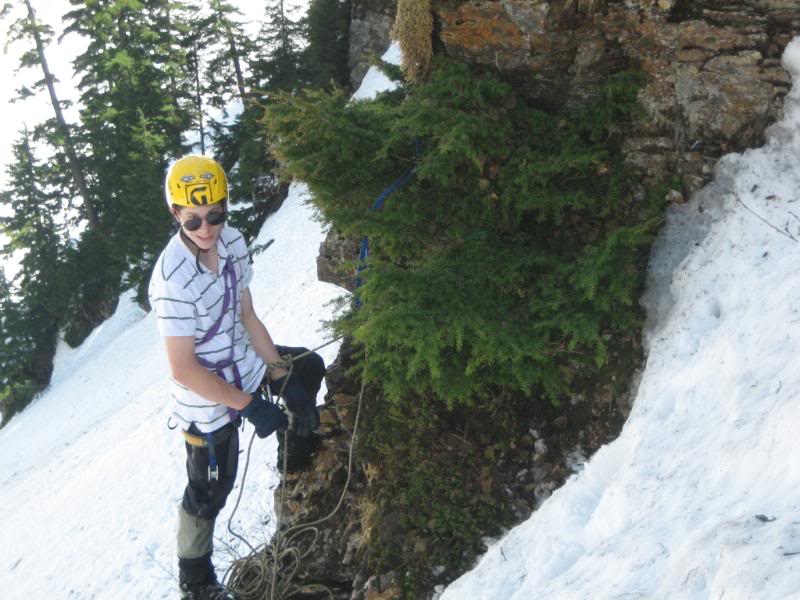
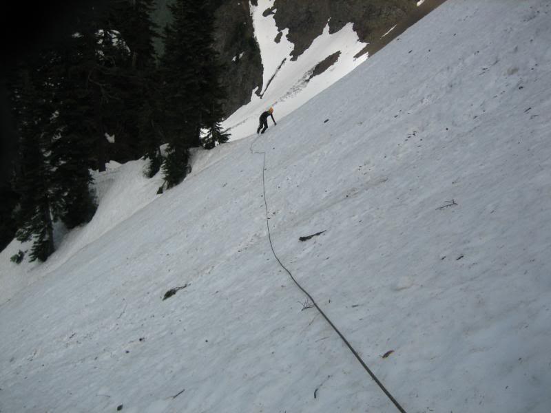
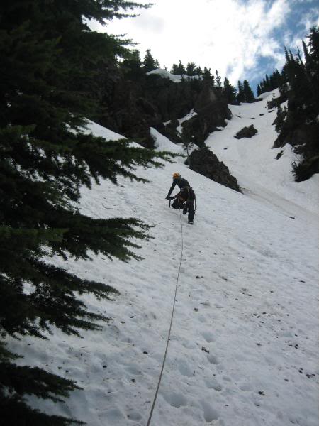
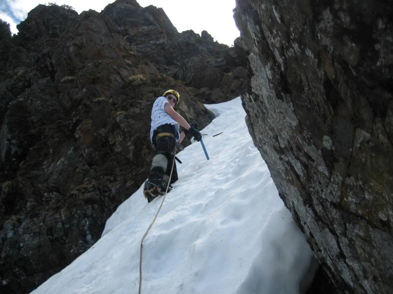
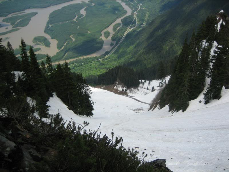
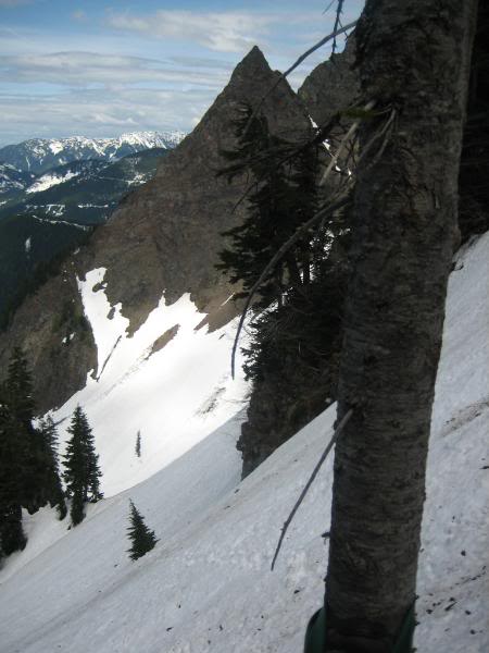
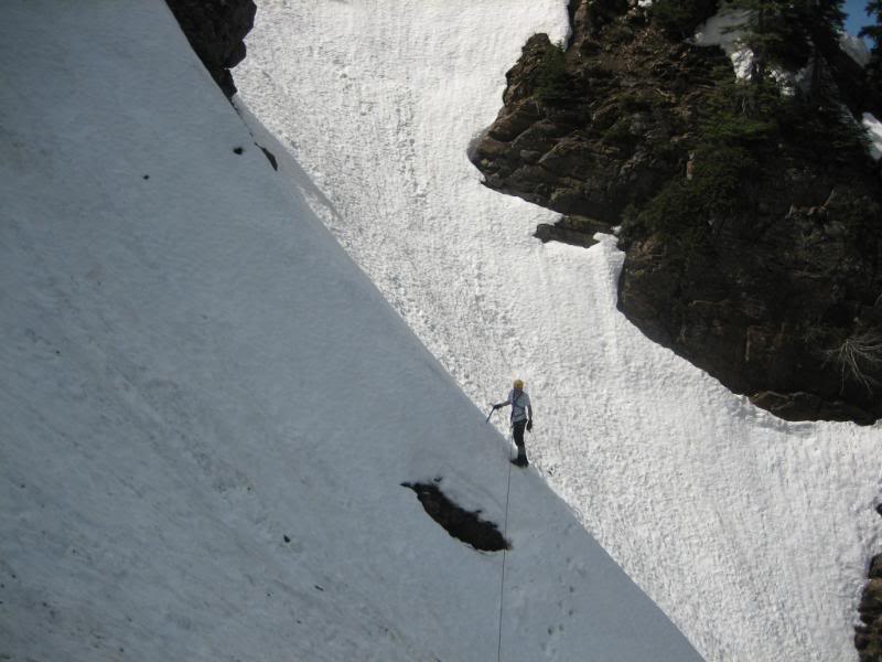
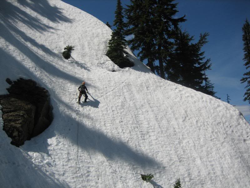
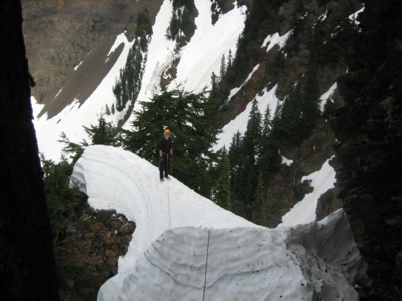
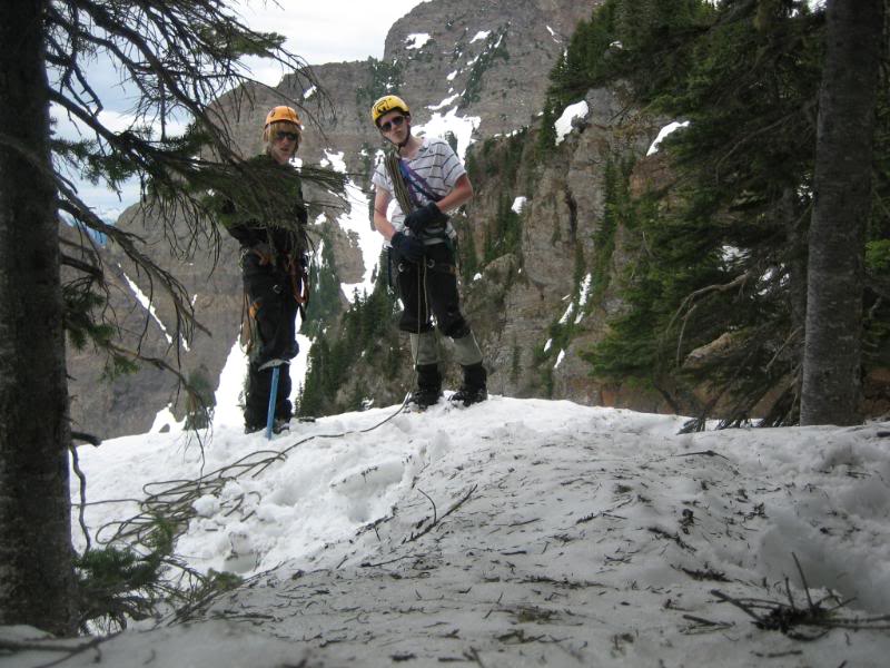
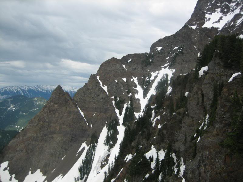
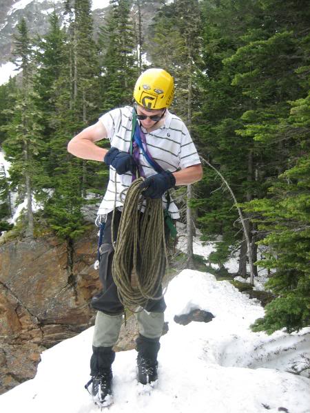
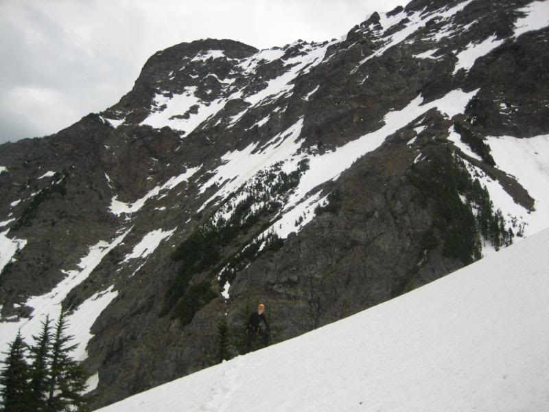
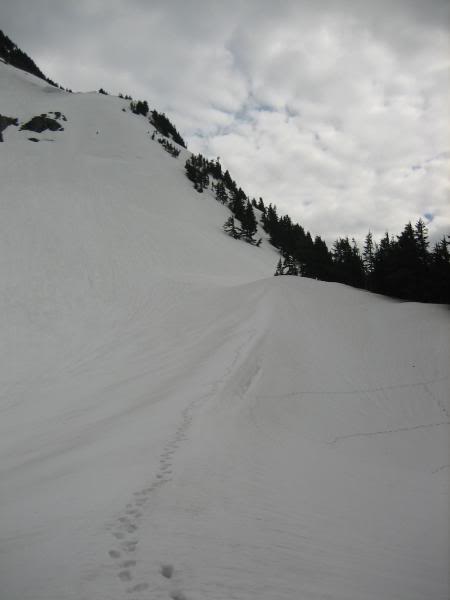
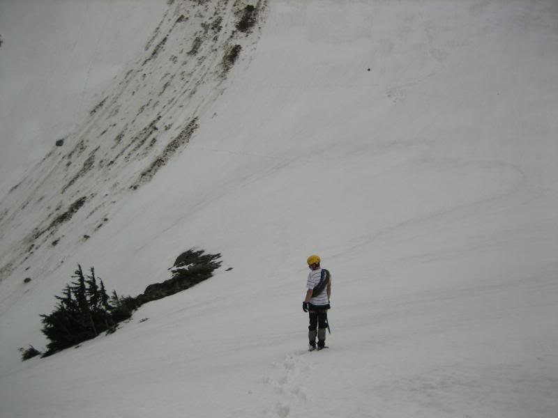
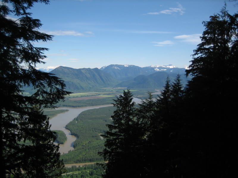
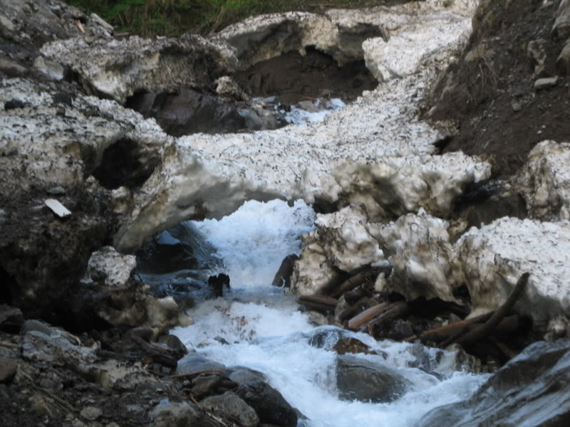
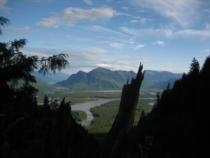
Trip: Two White Boys on a Big White Hill - Cheam Peak - Random NW couloirs Date: 5/24/2008 Trip Report: So.... I was thinking of going and doing an alpine route last weekend but the weather was going to be super hot with frequent avalanches... I ended up going to a youth confrence in Chilliwack instead. I had e-mailed my friend Jared from mission to go climbing last weekend and when the trip was cancelled we postponed the trip to this Saturday ... our plan was to climb up to the NW bowl of CHeam peak and then hike low angled snowslopes to the toe of the West Ridge to gain the summit. He picked me up at 6:00 at my house and we drove over to the pulloff from the highway where we were to begin our ascent.. We hiked up the creek draining the NW bowl and then moved into the trees to avaid some huge cliffs in the gulley, It was a major slog but we eventually dropped bak into the gulley (now filled with snow) to gear up and hike into the NW bowl... we started up the gulley and just as we were about to get into the NW bowl we got a phonecall.. my other climbing friend Lorne said, "if you look up towards the toe of the west ridge what do you see", and I was like, "holy crap! Its you!" He and his Dad decided to run up to the west ridge earlier to ambush us for no apparent reason.. they didnt go to the peak but they left a cool pattern in the snow for us to look at. We talked and they took off down while we kept climbing up the NW bowl... it was getting hot in the sun and we skirted around the west side of the bowl so we wouldn't get killed by stuff falling on us, it got so hot on the snow that we had to stop and take off our pants and wear just our gore tex shell pants with boxers underneath. We eventually started getting bored of doing the easy snowslope route that Al and Lorne had done so I started looking for an alternative. There were some rock towers above the west side of the bowl and it looked like there was a cool gulley going in between them so we set off to climb this mysterious gulley. We ditched our packs at the base of the gulley and Jared set up a quick belay with my lucky tri-cam and his ice axe. The belays were not really nessecary in the first gulley but we had lots of time and used them anyways, all we had brought was an 8mm, 30m scrambling rope so I led up 30m to a tree sticking out of the snow and belayed Jared up and past me another 30m where he set up a makeshift belay with his ice ax. We stuck to the shady edges of the Couloir where the snow was firmer and less sketchy.. I led up again and set up a belay on a couple crappy bushes and then Me and Jared did some simul-soloing to the top of the first couloir. From the top of the first couloir the slope joined another steeper snowlope going up towards the ridge crest. We switched leads and diagonally ascended the slope for a few more short pitches. Jared's final lead to the crest was quite steep (60 degrees) From there we climbed a cool ridge and up a last short slope (with a vertical buldge of snow) to the toe of the weat ridge... It was getting late and we didnt want to slog all the way to the top so we glissaded and plunge stepped down easier angled slopes back to our packs and then hiked all the way down the trees and creek back to the car at the Highway. Overall the route was super fun with plenty of excitement but not at all scary... there was no gear on any pitches, we climbed from belay to belay. Approach Creek Old Snow Bridge Cliffs in gulley Almost in the NW bowl Our route starts in between those rock towers Slogging it out in the Bowl Crap bush belay Starting second snowslope, above the couloir Jared Leading on the second snowslope Heading up more steep snow, Yes Im wearing aviators Looking down the second snowfield Red Pyramid Me leading a super fun section Jared on a steep section Final Ridge Posing at the top of our climb Big Cheam Packing up Snow Pattern Descending Gear Notes: A few slings for tree belays, light rope, ice axe, crampons not nessecarry... aviator sunglasses and my lucky tri cam are a must! Approach Notes: Up drainage to big cliffs, up forest to bowl... up snow to couloir.
- 53 replies
-
- best content
- cheam
-
(and 2 more)
Tagged with:
-
Trip: Sumallo Bluffs - Unnamed WI3 - 60m Date: 12/1/2007 Trip Report: I went up to the Sumallo Bluffs today with Matt Kidd and his buddy Cam. We climbed a WI3 a few hundred meters to the left of 'the mess'. The ice was super thin and sketchy for Matt to lead because of lmited screw placements. We all made it up and I was ecstatic after my first ice climb ever. Here's some pics... Here's details about our climb. We drove past the Buzowski Kippan and Landmark gullies for at most 1km and pulled over at a small parking lot across from a couple small clearcuts. We headed into the trees about 50ft back from where we parked and crossed the creek on a small log bridge we contructed over a shallow area. We bushwacked up the trees for 20 mins to find ourselves at the base of a small gully with some low angled ice at the bottom, we then traversed east into the next gully and ascended snow covered rocks to the base of our climb. The 60m rope was about 15ft short of making it to the anchor tree (above and left of the route)..so a 70m rope would be a good idea unless you want to simul climb 15ft of the route while your partner climbs to the anchor. To descend we did one single rope rappel down a cut in the trees to the left of the climb and then one double rope rappel down the last bit of trees. These two rappels bring you to a little slope 25m left of the base of the route. We then bushwacked straight down through the forest back to the car. If this is an FA I dont really know what to name the route..suggestions would be cool.. I was thinking of calling it Stairway to Heaven because the route reminded me of three big steps.. but I'm pretty sure that that name has been used a million times before.

