dadoufergy
Members-
Posts
12 -
Joined
-
Last visited
-
Days Won
2
dadoufergy last won the day on July 8 2024
dadoufergy had the most liked content!
About dadoufergy
- Birthday 11/30/1999
Recent Profile Visitors
The recent visitors block is disabled and is not being shown to other users.
dadoufergy's Achievements
-
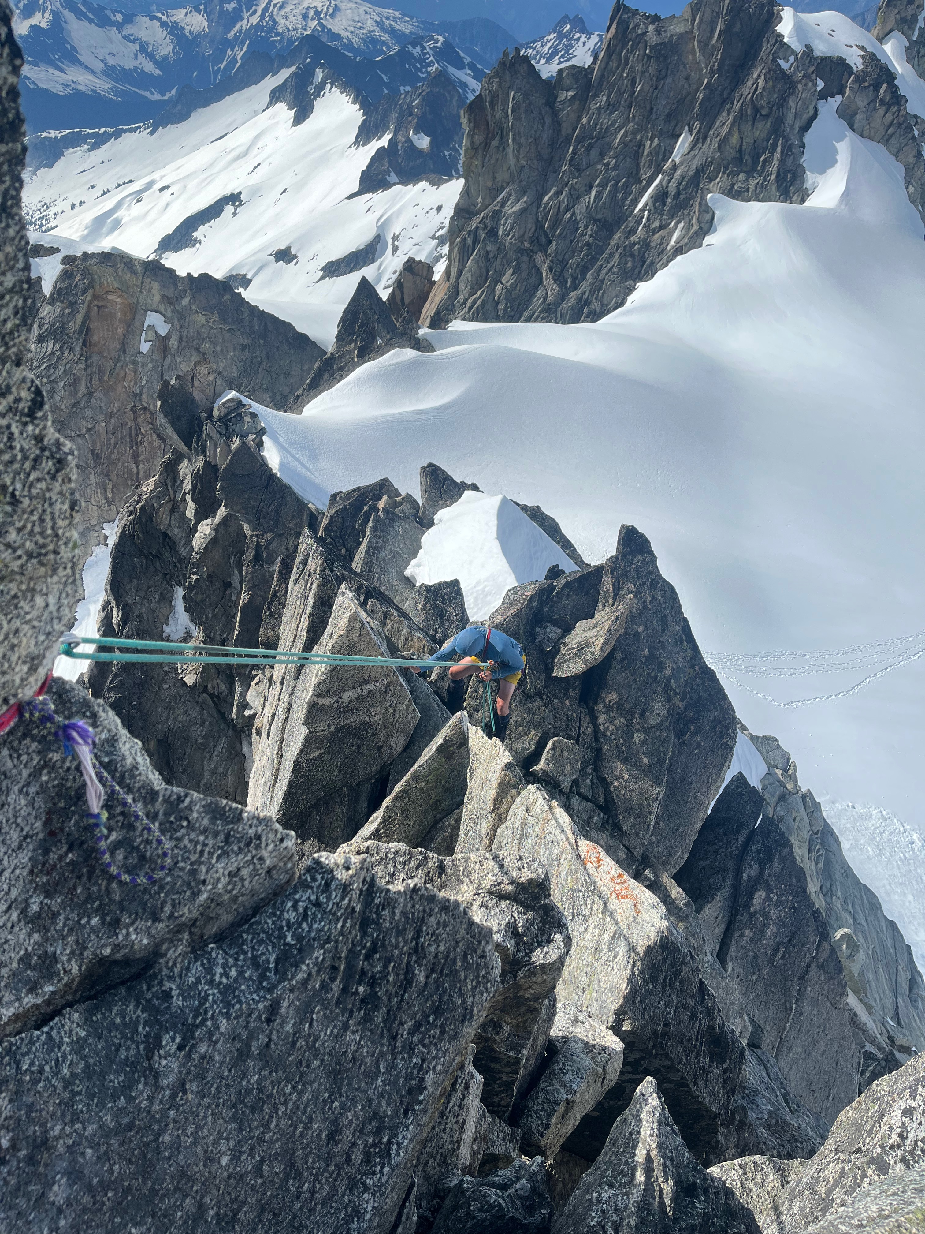
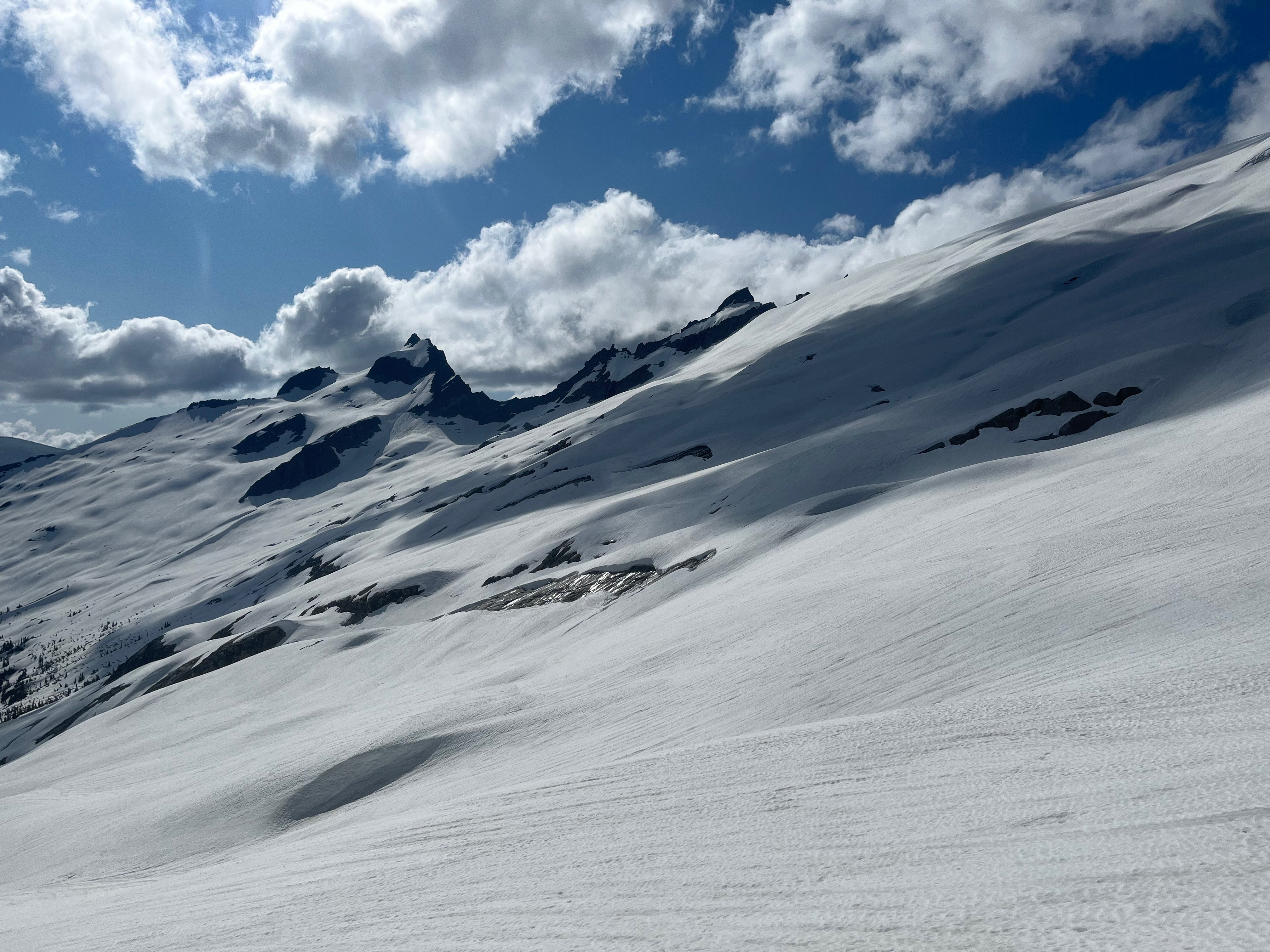
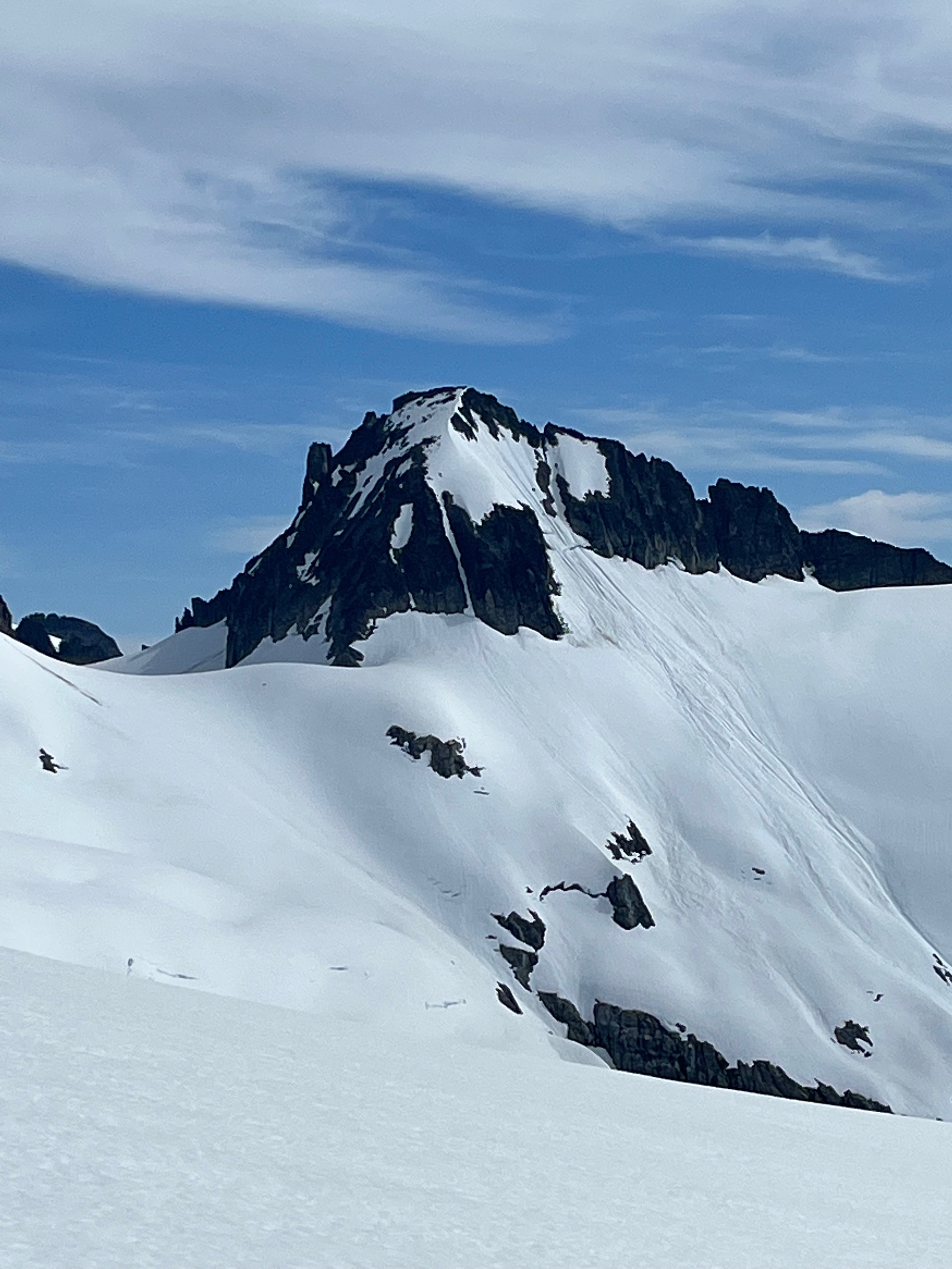
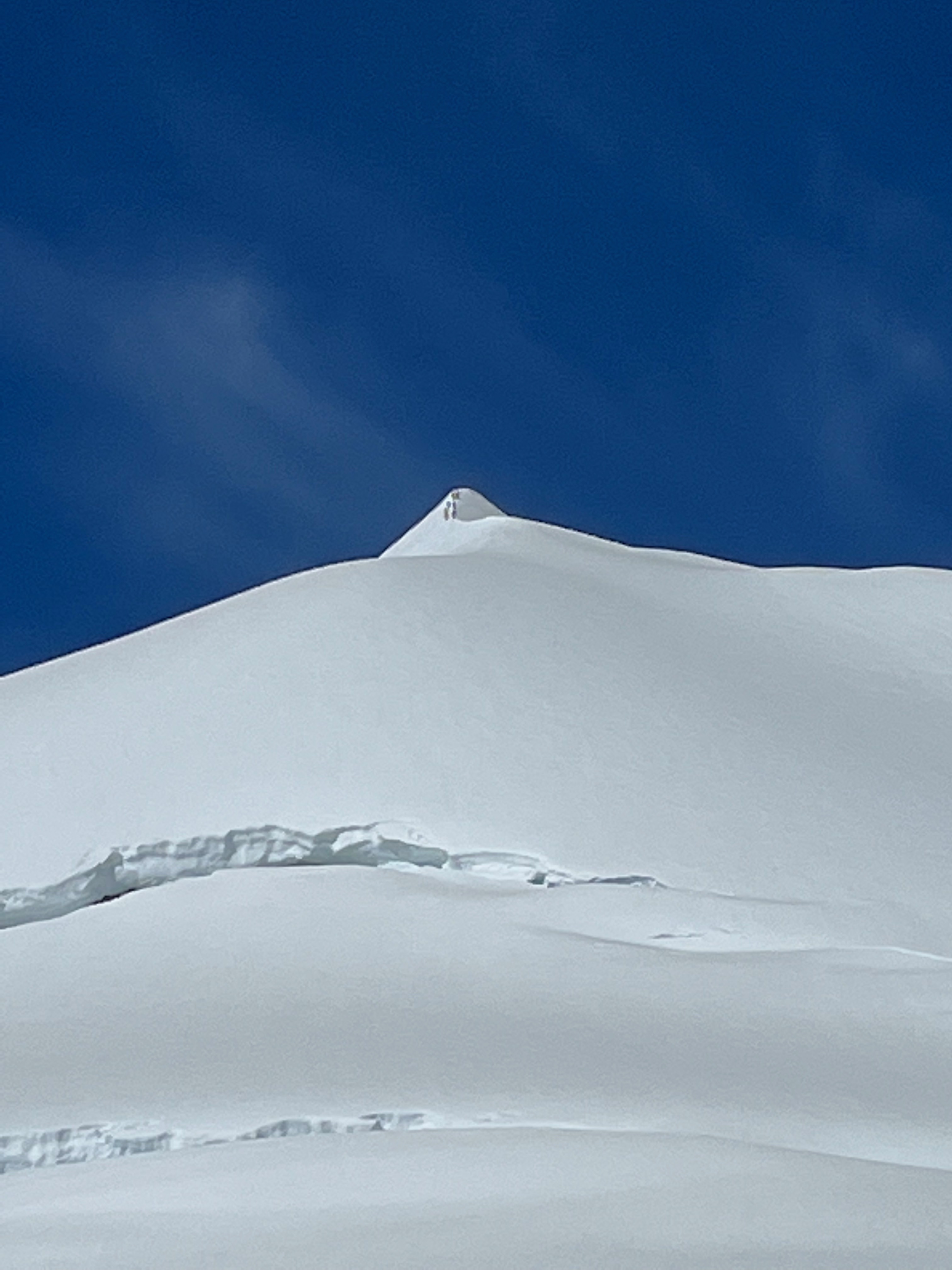
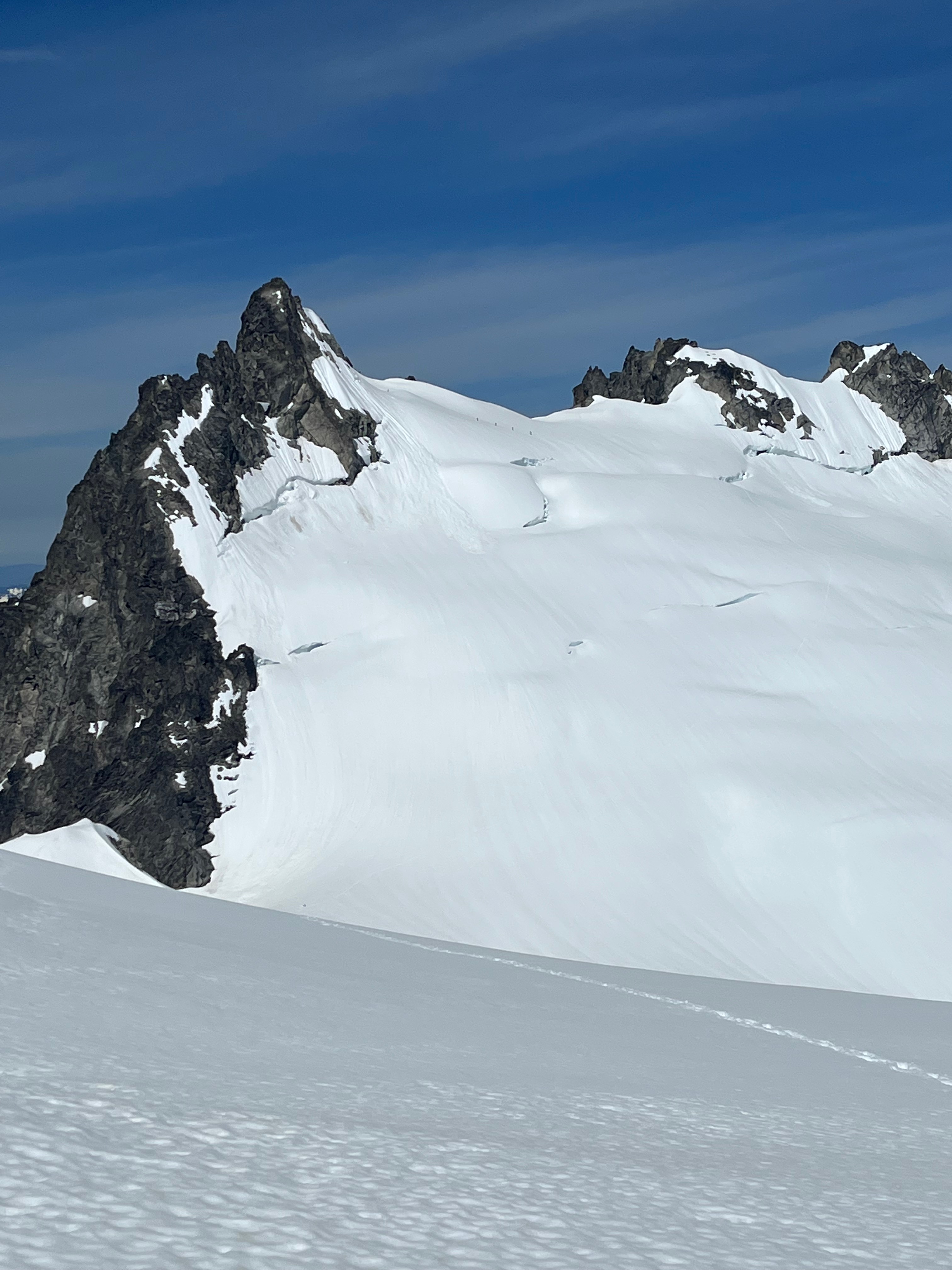
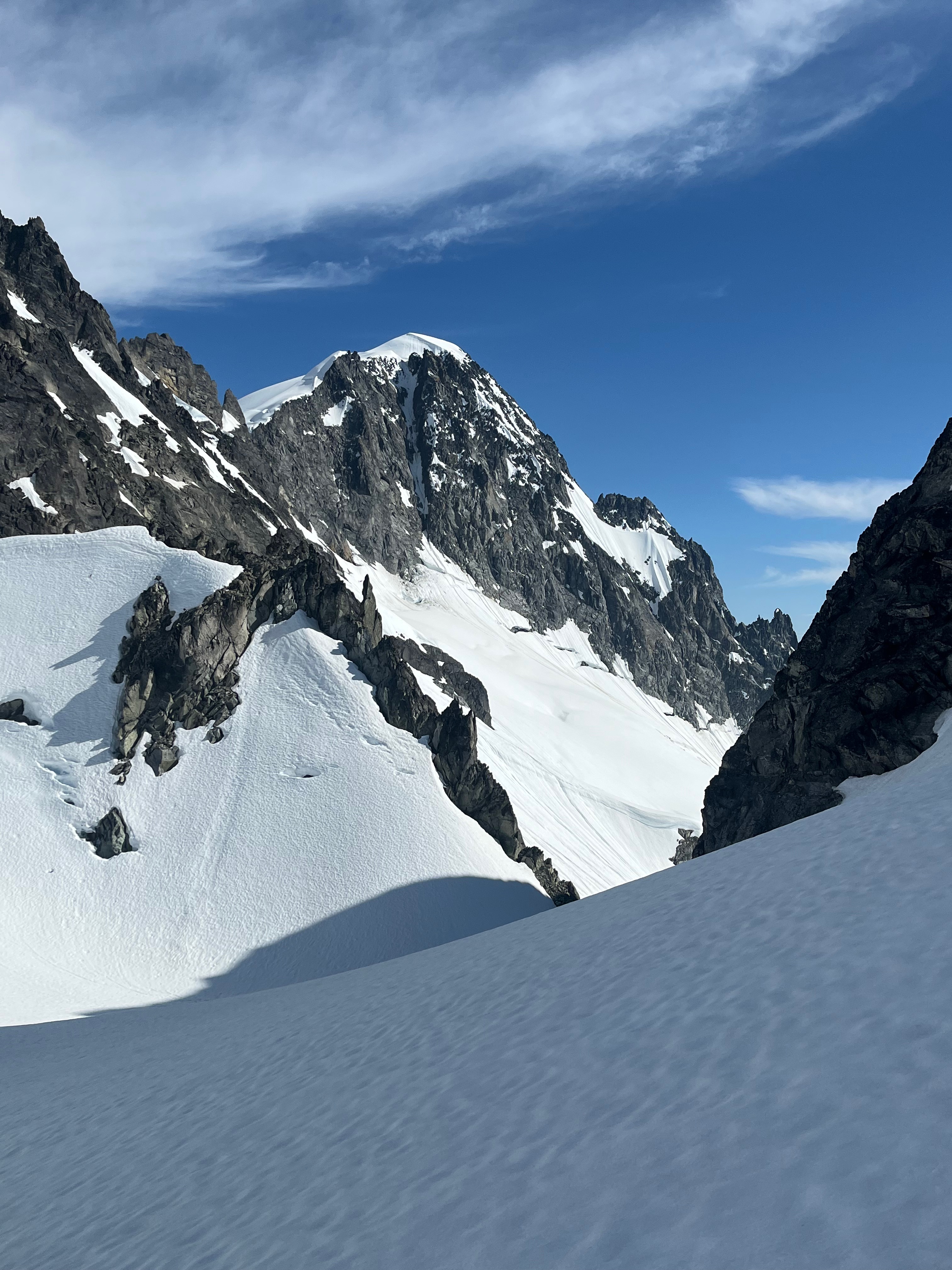
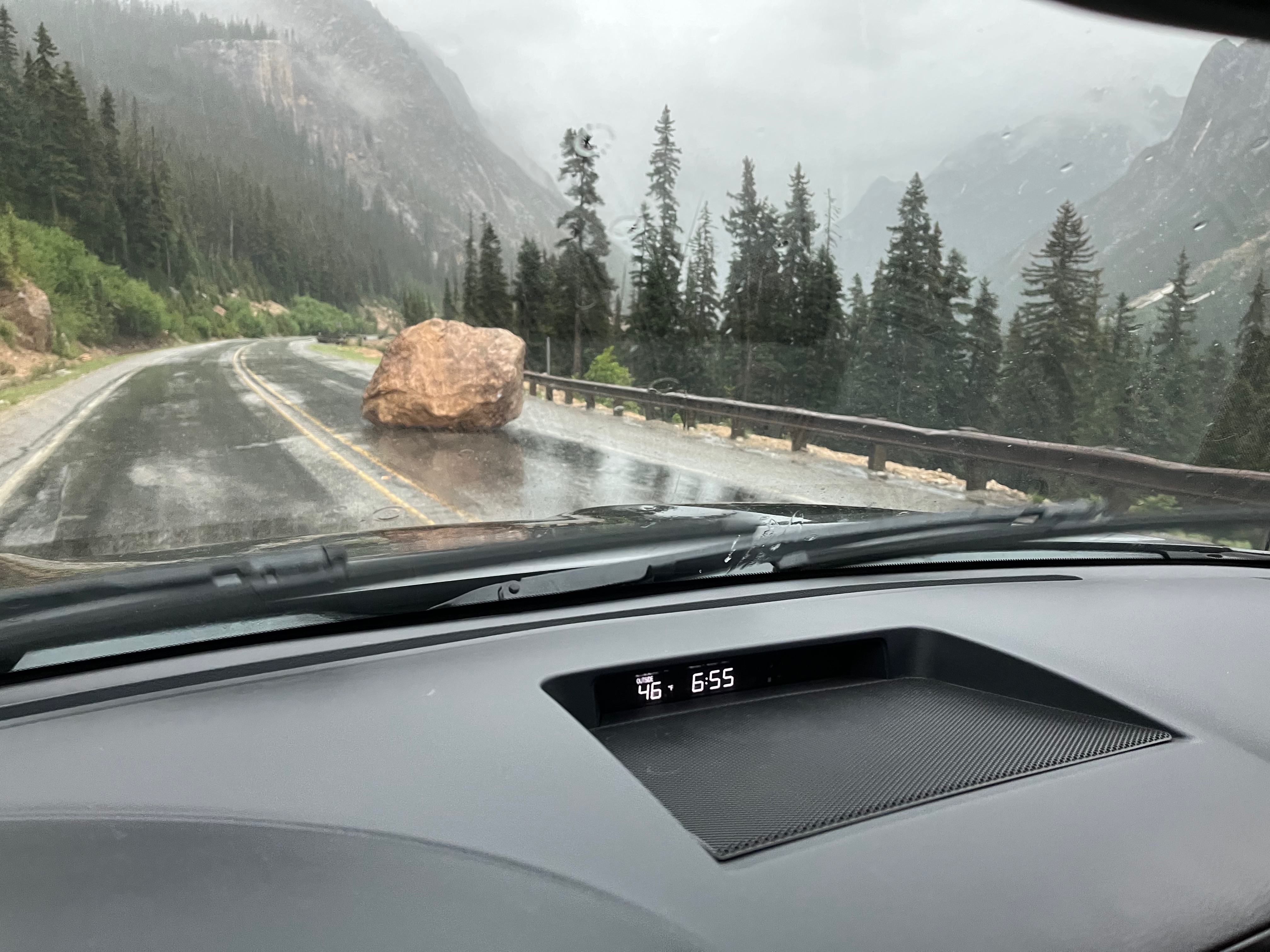
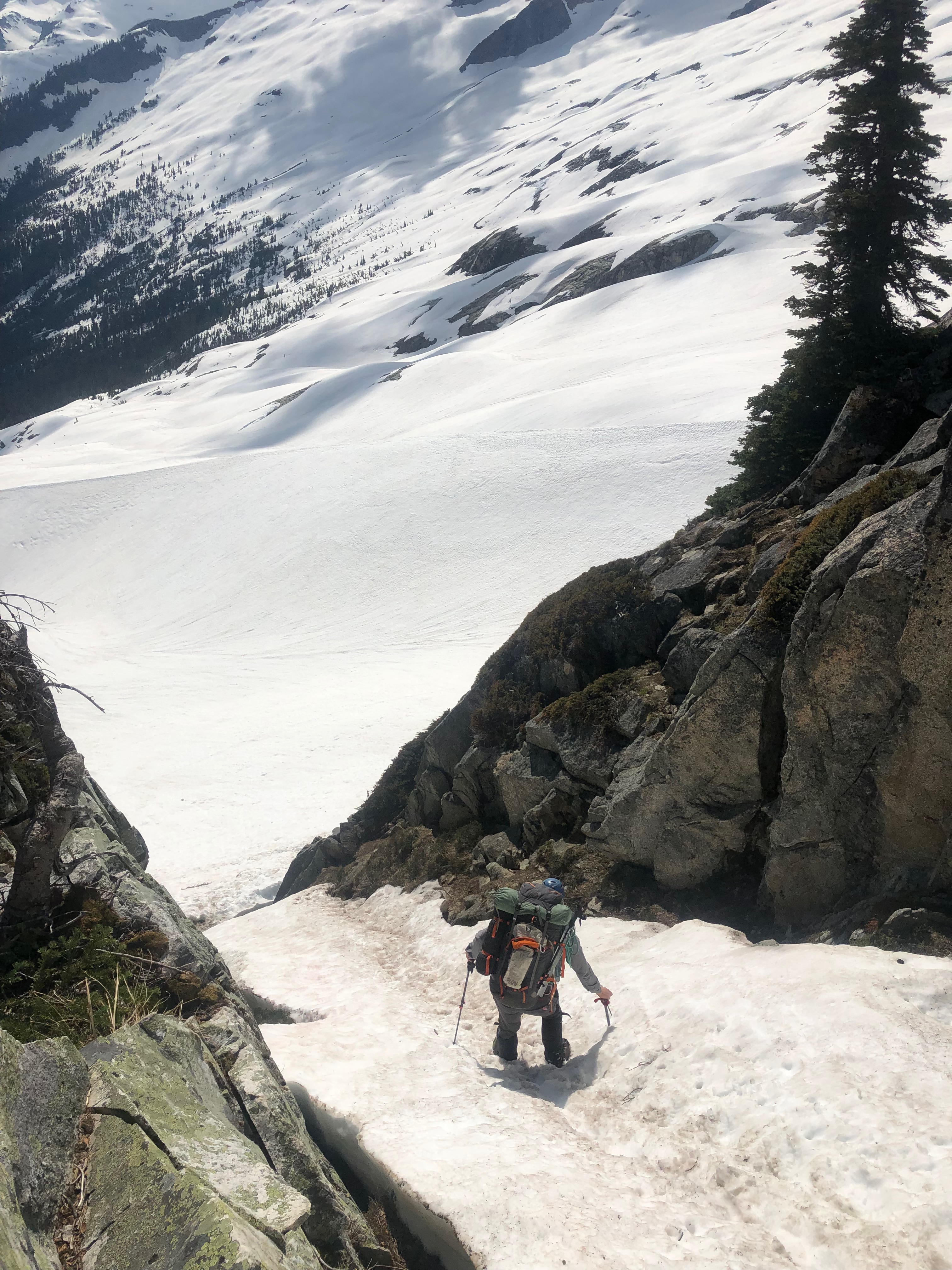
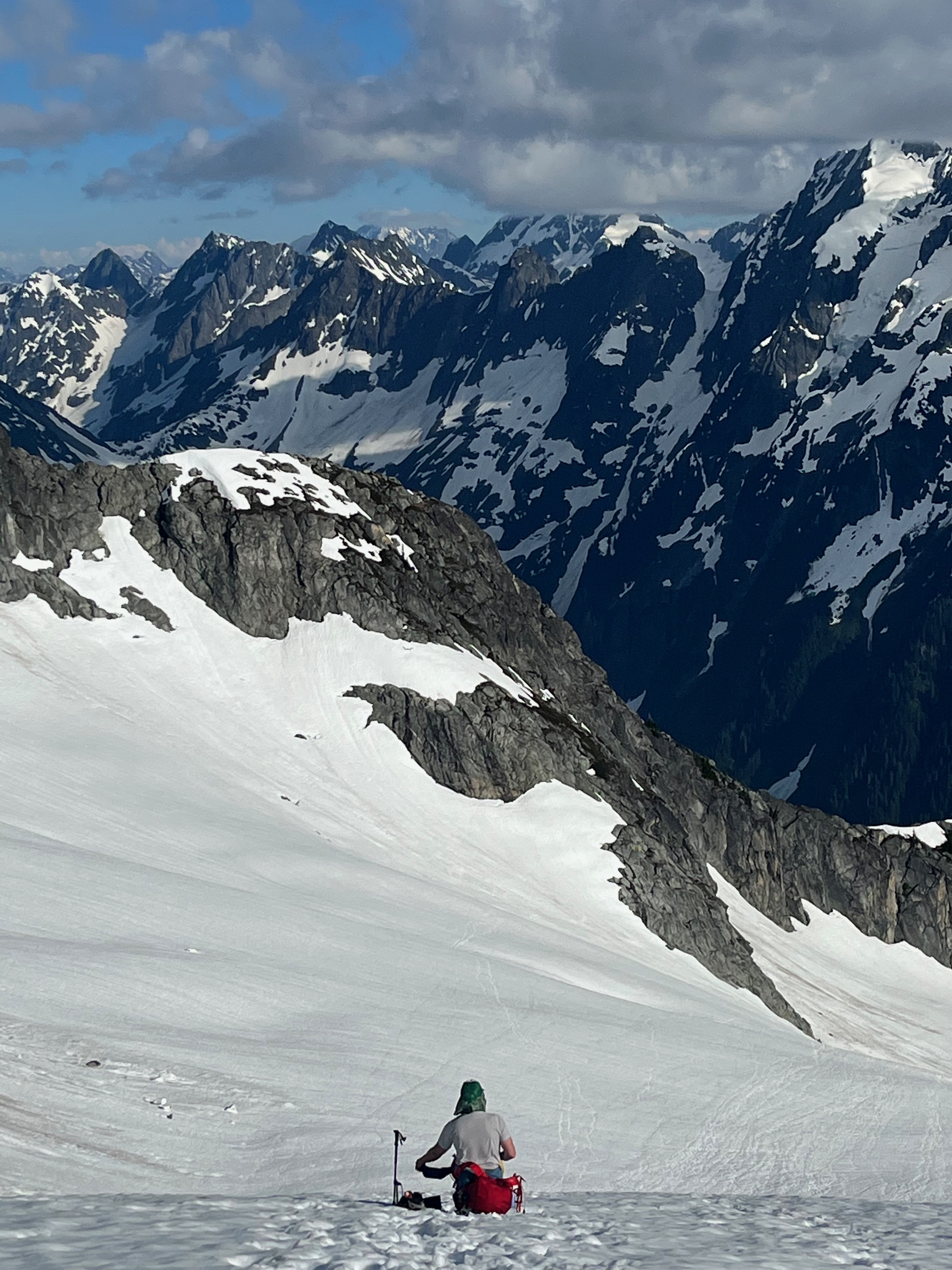
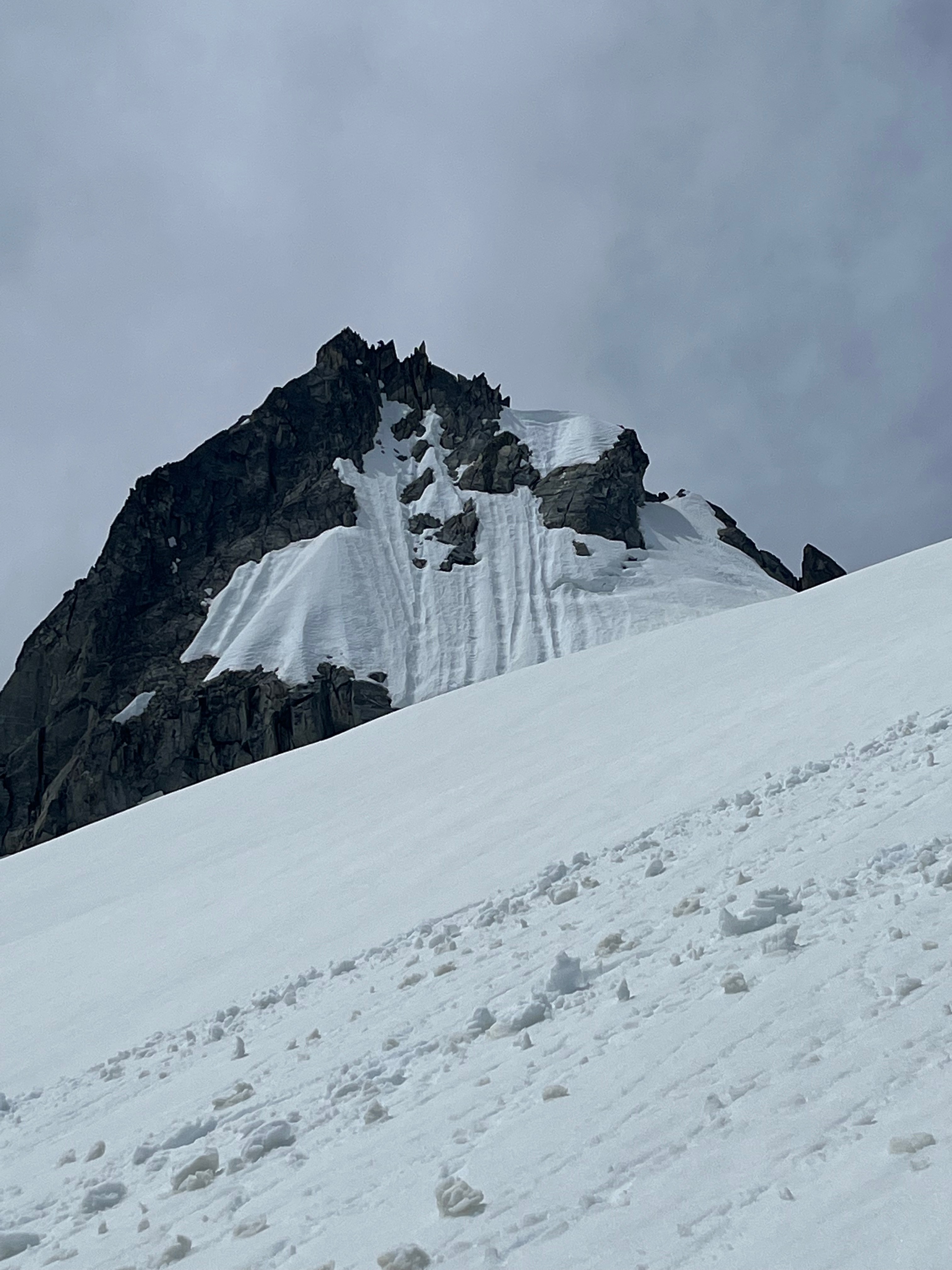
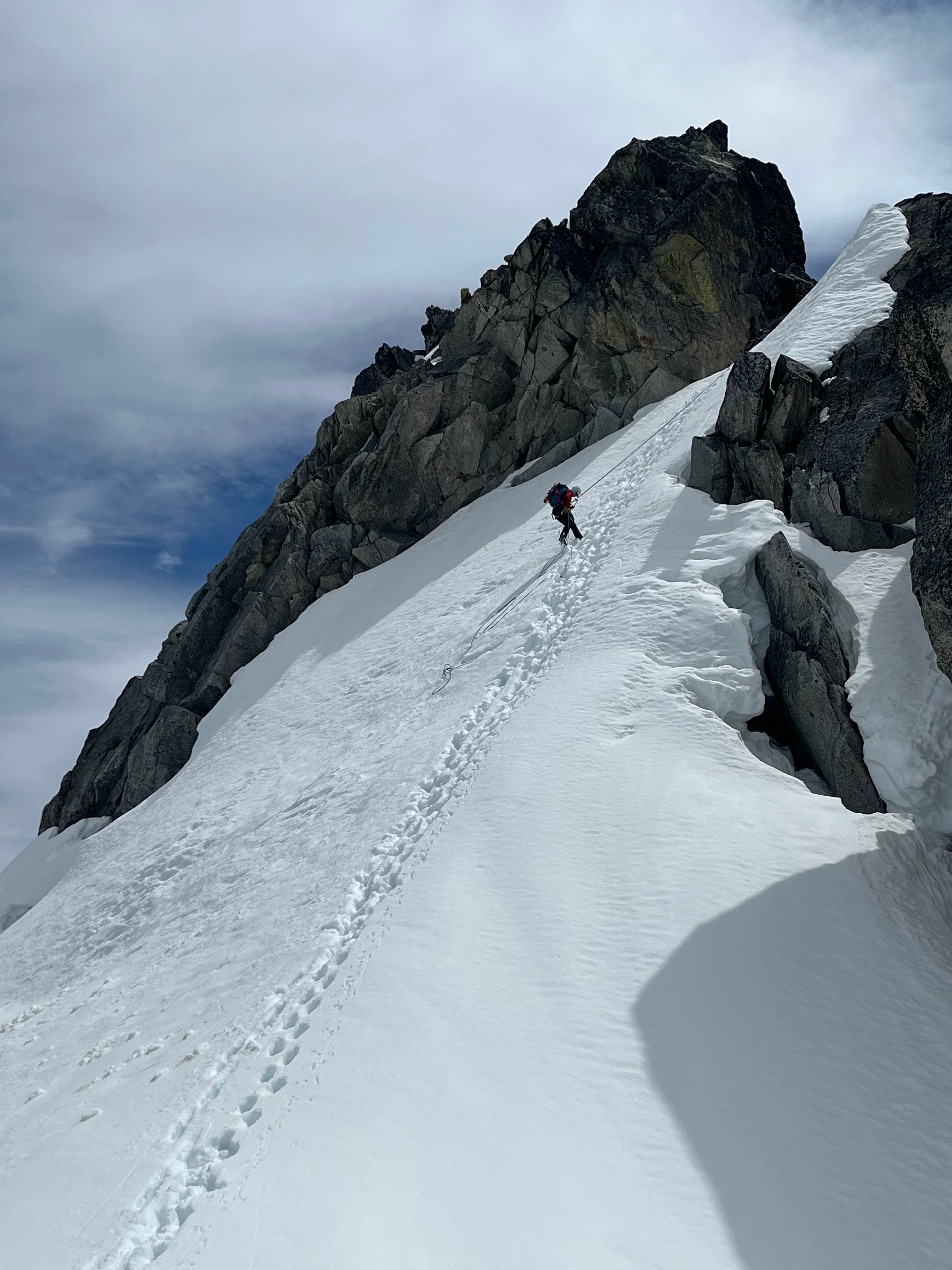
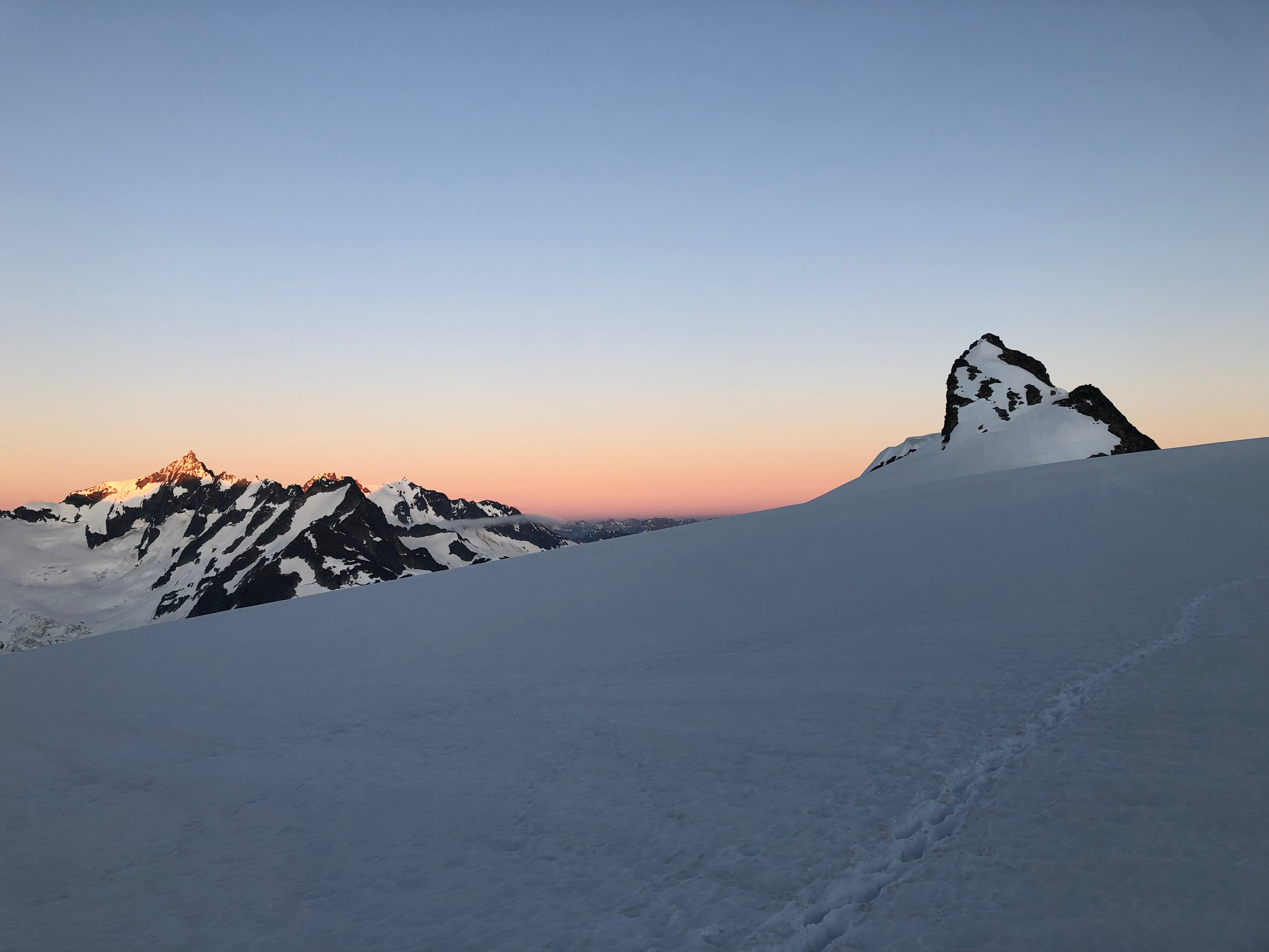
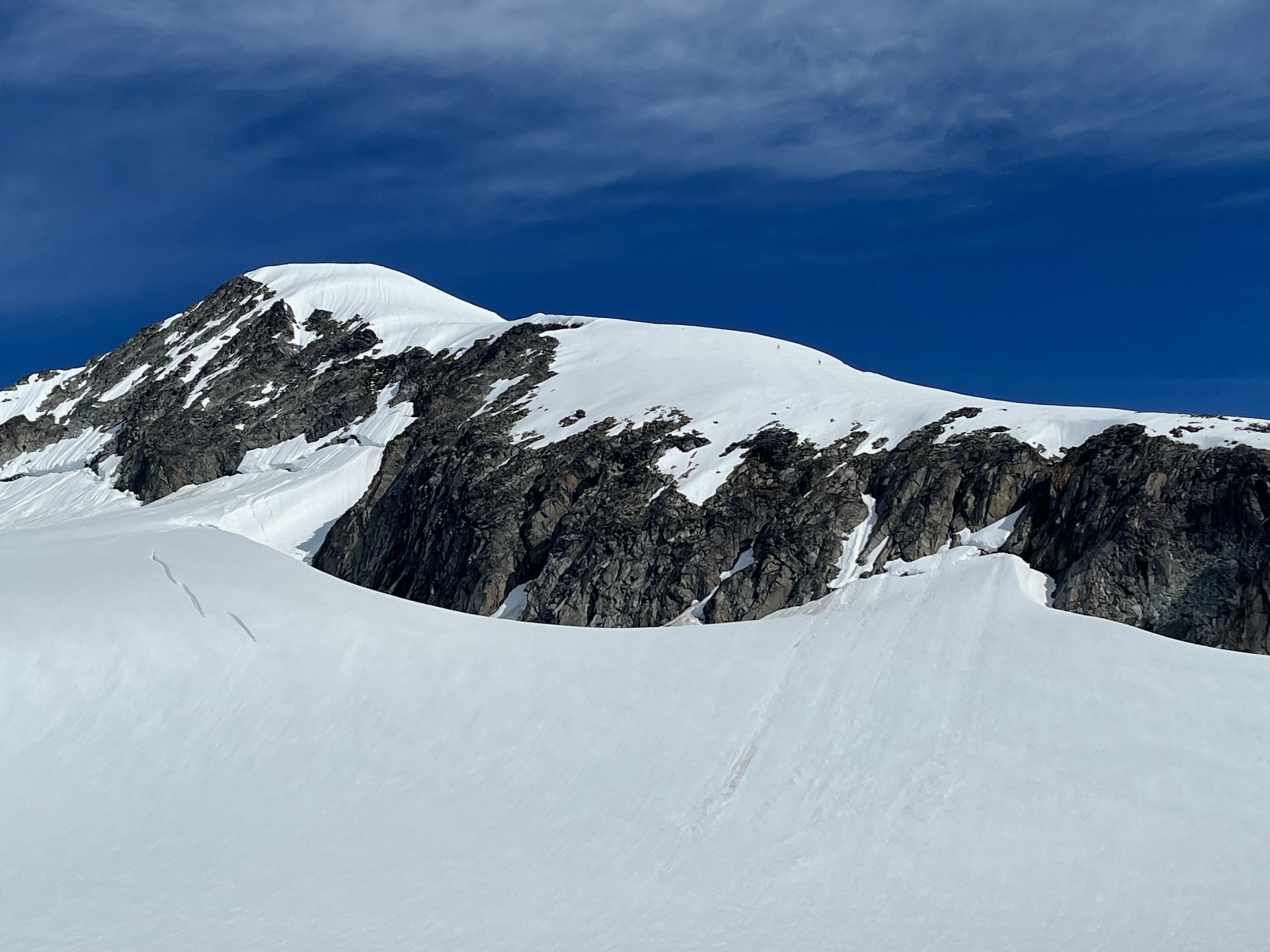
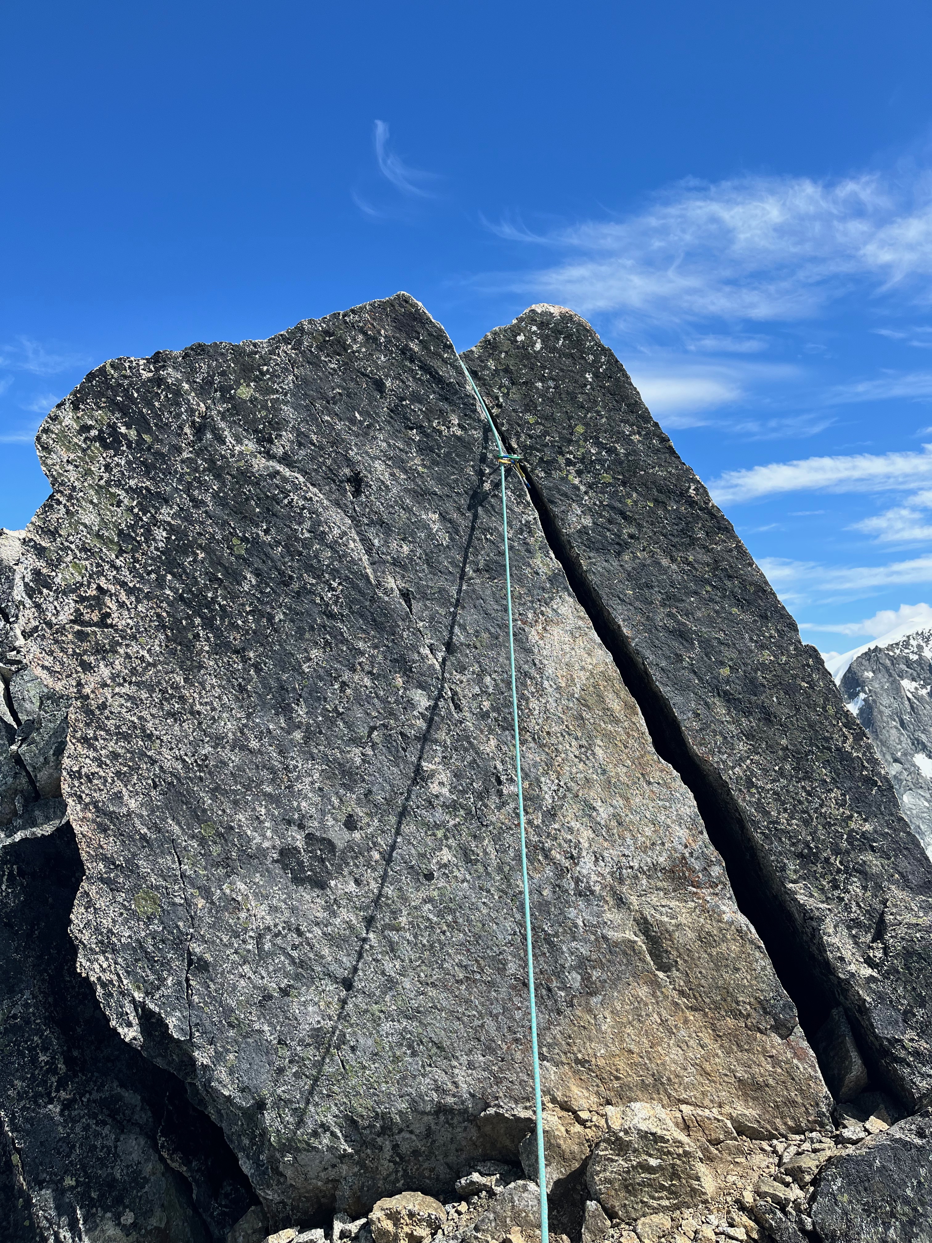
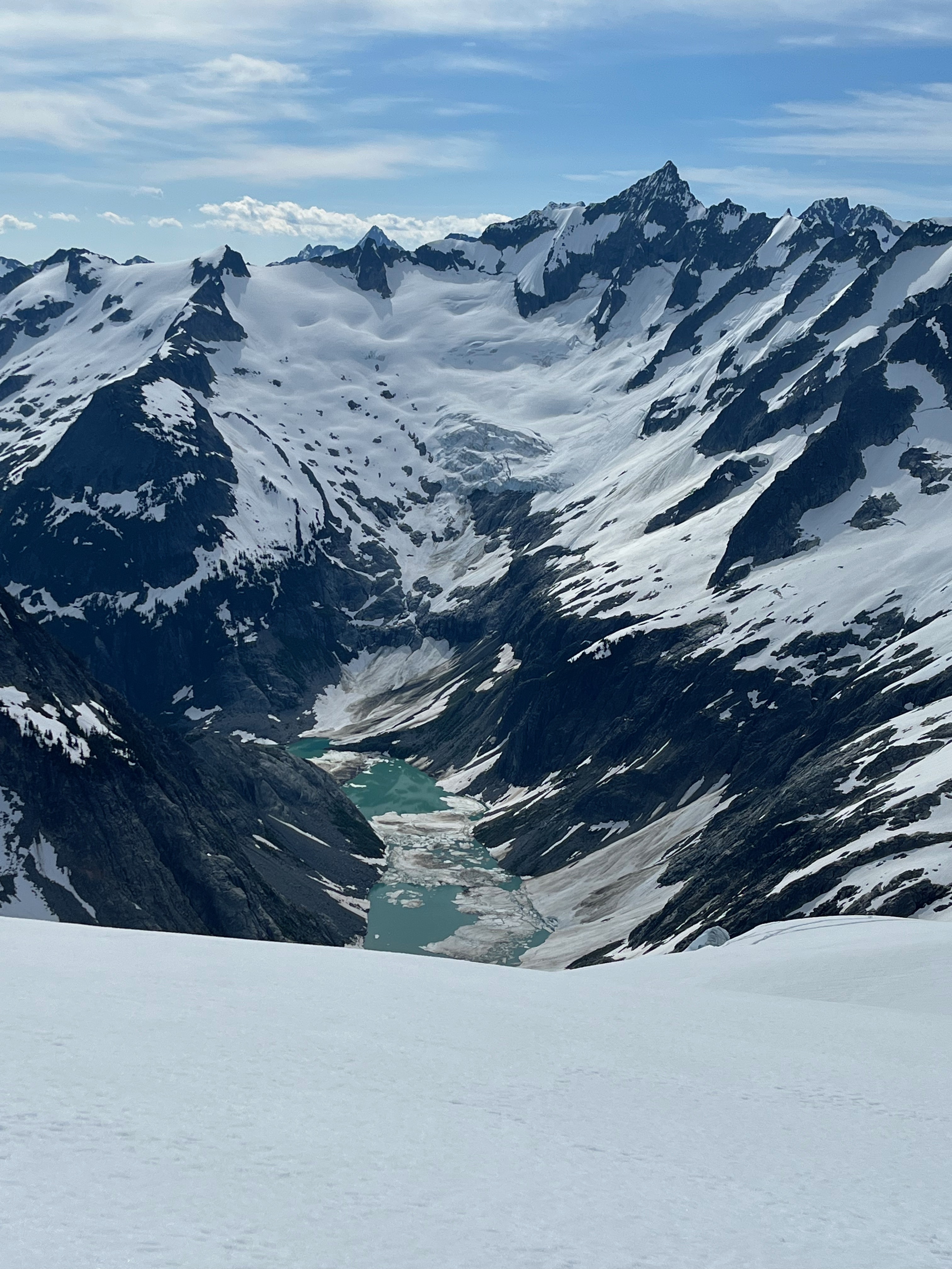
Trip: Sloan Peak - Bedal creek Trip Date: 07/04/2024 Trip Report: High clearance vehicles only. Brushy road scratched truck. Bedal creek trail overgrown. SAR trail to Bedal/Sloan saddle was well flagged and nice direct climber’s trail in open timber. Tarn still melting out. Glacier in good condition. Few crevasses near top. Went high right then cut under first rock band. Significant rock debris littered the center of the glacier. Scramble route was still snow covered. Beyond my comfort level. Turned back. Last two photos compare July 2023 (from YouTube video) to July 2024. Gear Notes: Standard glacier gear Approach Notes: No water between Bedal creek and Bedal/Sloan saddle until tarn. Plenty in basin above tarn.
-
- 4
-

-

-

-
Thanks dberdinka!! I love the closure to the story (as well as your concern for those below). sepultura, my guess is they were traveling out trying to beat the storm and decided to drop their metal gear, judging by the lighting strike map I reviewed and what was striking near eldorado at the time.
-
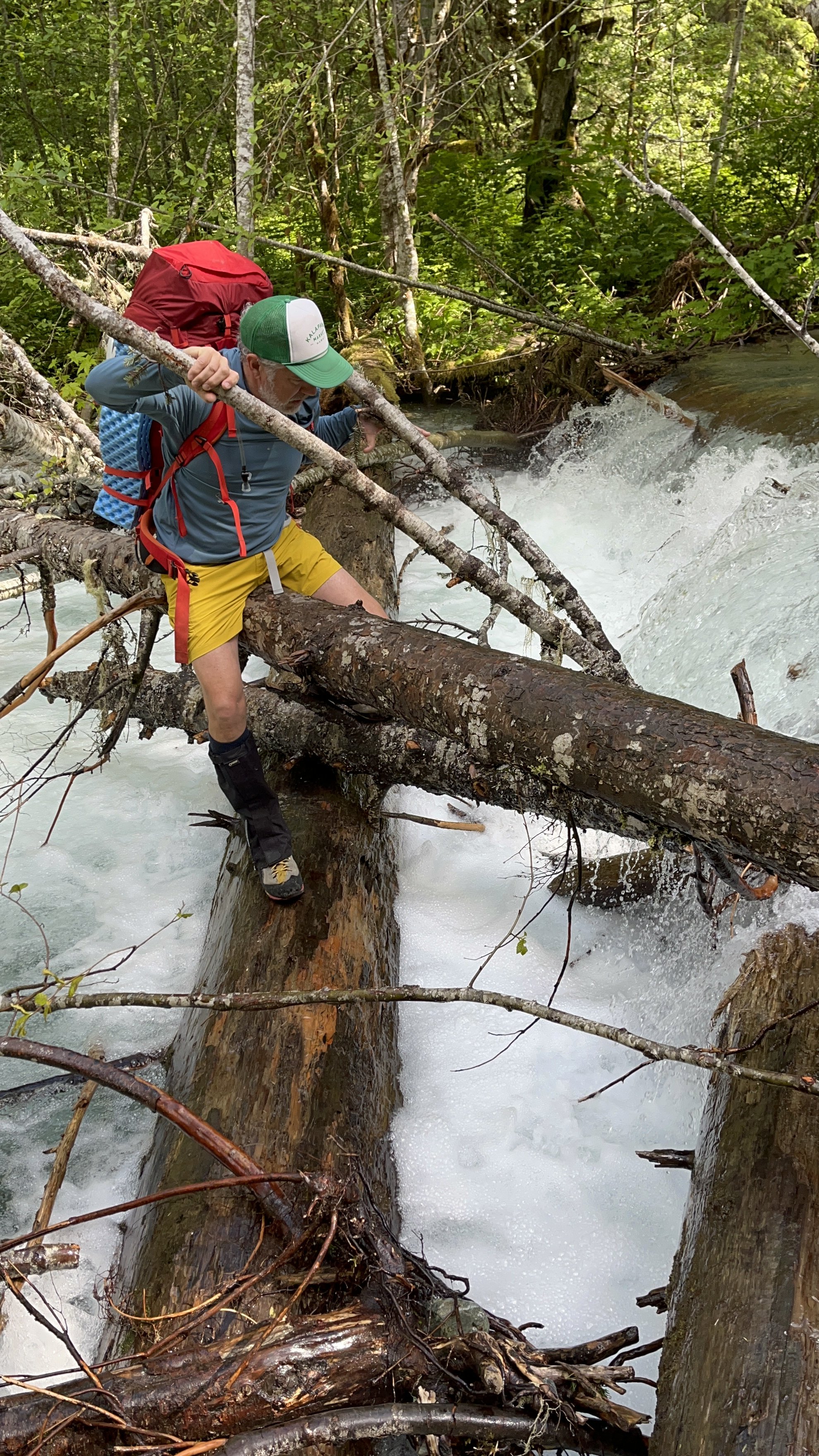
Trip: Dorado Needle - NW ridge Trip Date: 07/03/2022 Trip Report: The old Cascade River crossing by the parking lot at Eldorado is gone. Newer river crossing is available ~100' downstream from the parking lot with two logs that intersect from the road side with another log leading to the island in the river. Flow was high and there are strainers downstream of the crossing so be careful. Another party mentioned finding a log crossing upstream from the parking lot ~200 feet, upstream from where Eldorado creek hits Cascade river and then crossing Eldorado creek back to the climber's trail. Multiple parties on Eldorado. One party skied off the summit! (DM me if that was you and I'll send video!) Dorado Needle snow ramp was in great condition. Good boot steps all the way to shoulder. No crampons needed for the entire trip. Eldorado, Inspiration, and McAllister glaciers all had soft snow. Multiple parties on Dorado Needle. Really cool route with fun blocky climbing and cool rock needles. Able to make two rappels back down the route from summit with one 40m rope. Everyone kept mentioning a "new forecast" with "bad thunderstorms" coming in. Didn't listen to them and camped on the McAllister glacier near the Marble/McAllister col and didn't sleep through the big boom / big flash show. Should have listened. One party didn't like the lightning either and ditched their gear scattered on the glacier. We recovered it the next morning. If you're looking for it, please DM me and let me know where you left it and what you left and I can get it back to you. A true cascades experience with hail and rain all day on the way out. As always, stay east on the boulder fields and suffer less. Snow begins at top of boulder fields. Eldorado stream crossing below basin and above boulder field still under snow currently, but not for long. Gulley to Eldorado glacier quickly becoming post-hole city. lower Eldorado glacier Eldorado Forbidden and Moraine lake Alpenglow Traffic on Eldorado summit ridge Klawatti Dorado Needle and McAllister glacier North Face Eldorado Cascade river stream crossing "Rock!" Gear Notes: pickets, gear to 2", 40m rope Approach Notes: cascade river stream crossing 100' downstream from parking lot
-
[TR] Mount Challenger - Eiley Wiley Ridge 08/17/2020
dadoufergy replied to dadoufergy's topic in North Cascades
Basabe, i wholeheartedly agree. Henry Custer was just the earliest documented. I also referenced the peak's Native American name, "Wilakin-Ghaist" (according to Beckey) which we uttered in awe. Thanks for the kind comments. It's nice to be able to give back to the community that continues to inform my climbs and paths. -
Trip: Mount Challenger - Eiley Wiley Ridge Trip Date: 08/17/2020 Trip Report: 3rd time's a charm.... After a failed attempt in July 2019 (Via whatcom glacier) and getting stuck in a whiteout on Whatcom peak with thunderstorms moving in.... ...and a cancelled attempt July 2020 with a forecast of non-stop rain and snow, we finally had a window to try Challenger via Eiley Wailey. We made a third attempt on “Wilakin-ghaist” almost 161 years (and a week) after it was first sighted by swiss born engineer Heinrich Custer (Reading “A Range of Glaciers: The Exploration and Survey of the Northern Cascade Range” by Beckey is a great way to get stoked for the climb!) For late season we opted for the Eiley Wiley approach and researched the stories of those who went before. Many thanks to those who posted before with their beta on the legendary Eiley Wiley schwack including Manacus, ncascademtns, gum, David_Zeps, Ian Lauder, and others. We found the following maps to be the most helpful and accurate for the traverse route of Eiley Wiley (forgive me, I didn’t keep track of who posted them, but thank you): Day 1 - Ross Lake boat ride to Big Beaver and on to Beaver Pass camp for a ~16 mile day. Chugged two liters of water between each campsite (39 mile, Luna, Beaver Pass) in the heat and listened to a tree fall at Beaver Pass and the distant rockfall up Access Creek and Luna Basin. 9 hours Big Beaver to Beaver Pass A glimpse of Challenger from the trail. Eiley Wiley ridge on right. Day 2 - The Eiley Schwack. Fearing yellow jackets, thorns and other horror stories we brought hearty bushwhack gloves and appreciated them. Having read several trip reports of this schwack, and now having done it two different ways, I can safely say there is an easy way to do this with minimal bushwhacking. Instead of telling you about another story of cliffing out, branch belays, new vocabulary, and slips and tumbles, I’ll describe what I think is the best route. If you look on the USGS map there are two clear drainages that shoot straight down the ridge east/west towards Beaver Pass. Most of the climb should take place on the spur between these two drainages. The USGS map shows the drainages you want to be between (but the shelter and campsite locations are incorrect and actually south of the start) IanLauder’s trip report was almost perfect with this one (thank you!) https://cascadeclimbers.com/forum/topic/103565-tr-mount-challenger-standard-route-07252020/?tab=comments#comment-1159784 Except that the climbers’ trail doesn’t cliff out, it was just hidden to the north This aerial imagery shows you the drainages and their position relative to Beaver Pass campsites. Ignore the side trips of exploratory bushwhacking. Directions uphill: From Beaver pass campsite, go north on the trail ~100-200 feet and then turn west towards the ridge and bushwhack downhill across the Beaver Pass drainages until you gain the Eiley-Wiley slope. Your goal is to get on the spur that rises between the two drainages. Once on the spur, the approach is nice open timber for ~700’ gain. The spur is ~100 yards wide and you can see the drainages on either side as you go up in the timber. Looking down the open timber At approximately ~4300’ you will hit a cliff. Go right (North) around the cliff and locate a climbers trail up and around it. Continue through open timber until ~4880’ where the spur cliffs out again. Look right (North) again for a boulder drainage ON THE SPUR. Not the main drainage further to the north. Work up the boulder drainage until ~4950’ where the boulder drainage pops out on a little clearing hillside on top of the cliffs. This is where the climber’s trail begins and goes until ~5180’ where you find your third cliff set Looking down the boulder drainage Here, go around the cliff left (south) and transition off the spur to the left (south), into the drainage where the climber’s trail continues up the drainage, and up left (south) onto the next spur until you reach the heather meadows at `5600 and end at a small campsite. Please enjoy this handy dandy map of the route UP: Once above the bushwhack. We enjoyed the alpine, heather meadows and stopped for lunch. 4 hours - Beaver Pass to 5600’ meadows. The climber’s trail leads to the eastern headwall of Eiley Wiley Ridge and puts you at the top of a large steep heather/grass gulley that begins the heather traverse. The general goal is to traverse a series of spurs on the south side of the main ridgeline around the 6400’ - 6200’ level. Along the way to Eiley Lake (~6126’) you’ll discover the most beautiful cascading pools trickling into a waterfall. This is the first water we found from Beaver Pass. I carried 4 liters to get here and was parched. These pools are some of the most amazing I’ve seen with a great view of Luna and the cirque. One pool even has its own drain like a bathtub into the next pool. End of Eiley/Wiley meadows at 5600’ meadows to pools - 5 hours. We made camp on two spots at Eiley Lake an hour later. Total travel time Beaver Pass to Eiley Lake ~10 hours. No water from Beaver pass until the pools. Day 3 - We opted for a 0300 wake up with a 345 departure from Eiley lake in pouring rain and navigated past the saddle to Wiley lake and up the eastern slopes of PT 7374. Crampons were needed on the exposed ice of the slopes. We found the notch recommended on the south side of PT 7374 and had no trouble getting through the notch. Once through, stay high and go north to the other side of the peak where heather benches await that drop down to Challenger saddle. Don’t drop all the way down the loose rock gulley. the notch at PT 7374 west side of the notch at PT 7374, go down ~40 feet and then traverse north on rocky ledges Whatcom Glacier and Whatcom Challenger Glacier from Challenger Arm Reached Challenger Arm by 0800 We pushed up in the rain, whiteout, and were able to ascend Challenger Arm and past the bergschrund without incident. I punched thigh deep through one crevasse. The snow arete/knife ridge to the summit block was very sharp, but we were able to walk it all the way to the end. A picket was essential here. The snow arete leading to the summit block We reached the summit block from Challenger arm in less than two hours and scrambled over to the base of the rock pitch. After clipping two pitons and placing a nut, my partner couldn’t find any foot purchase on the wet rainy rock at the crux. After a slip or two, we decided we had pushed our luck enough, climbing in the rain and whiteout clipped to a piton that was likely pounded in 40 years ago with little chance of rescue should things go south. “I climb to go home” is my motto, and just getting to this point was truly an incredible experience. We called it a summit and safely descended. the weather improved slightly and for a brief moment I saw the summit from afar. It was also at that moment that my partner had to self arrest near PT 7374 and I set loose a very large loose boulder behind me. It was becoming apparent we were not welcome. Wiley lake seemed welcoming enough…. ...for a dip However on the way out, traversing the outflow of Wiley Lake, I heard a large cracking sound and immediately jumped off the snow area I was on only to find it collapse into the lake. I now know what a collapsing snow structure sounds like We made our way back to Eiley Lake camp to call it a 12.5 hour day camp to camp and crashed. Day 4 - Return traverse along Eiely/Wiley ridge. Crossing the steep heather in howling wind and rain with heavy packs was the hairiest part of the trip. Routefinding was difficult and there are many places where a slip would lead to an unpleasant tumble. a rainbow awaited us at the end of the ridge. The Eiley schwack back downhill was vastly different than going up, as everything was wet. If you can do this bushwhack dry, it is highly recommended. I know it sounds obvious, but it was such a vastly difference experience. A roaring fire at Beaver Pass dried us out just in time for more rain and simultaneous air mattress failures. Day 5 - the long walk out back to Big Beaver for the boat ride home. 9 hours out. We encountered four parties headed in to Luna on our way out. FYI, National Park trail crews were out working the Big Beaver trail as we were out there. They have done a fantastic job clearing brush all the way to Beaver Pass. They haven’t touched Little Beaver yet, and didn’t last year either when we were there, so it’s likely still an overgrown mess. Many thanks to their hard work. A true cascade experience in BIG mountains. Gear Notes: 5 nuts, runners, pickets, glacier gear Approach Notes: Early season - Whatcom Glacier Late season - Eiley Wiley
-
Trip: Ingalls Peak - South Ridge Trip Date: 05/05/2018 Trip Report: Slog is a four letter word. With rain and thunderstorms in the forecast my buddy and I headed up to Ingalls peak this weekend for an attempt at the South Ridge. The road is still snow covered 2.5 miles from the trailhead with downed trees and some minor washouts to boot. It will be a while before that trailhead is drivable. We debated crampons or snowshoes at the trailhead, and opted for snowshoes. Boy, was that a good idea. We booted up towards Longs Pass before strapping on the snowshoes and traversing towards Ingalls pass around 5600'. Fresh light slides were visible everywhere and the traverse was a slow going at ~one mile an hour. We reached the pass after five hours and didn't see any other tracks. Running water at falls right before the pass. Ingalls and Stuart were magnificent and Ingalls lake is still snowbound. We setup camp in the basin just west of the pass and soon hail and rain drove us into tent and bivy for the next ~12 hours. In keeping with the true Cascade experience my air mattress deflated and I learned the value of twin ropes and a pack as insulation. One party came past us following in our tracks without snowshoes and headed down towards Ingalls creek. I have great respect for the frustrating knee plunges it took for them to get there. The next morning, expecting worse weather we awoke to mixed weather. Having come all this way, but expecting more rain, we opted to go check out the route "just to see." In what I will hereafter refer to as "hem-haw point" in the basin below Ingalls, we assessed the dark clouds in the distance, the soft slides all around, and discussed our options. We decided to just get a little closer just to see what we could see. After some careful traversing and avoidance of slides we were suddenly at Dogtooth with sunshine and no clouds moving in. Fortunately we brought our climbing gear. The "first" pitch of the route is all snow covered with maybe 6-8 feet of snow that was very soft and won't last much longer. We took snowshoes and ice axe up it, hugging the left side. We then scrambled to the base of what most people consider the 2nd pitch (ledge belay) and roped up. After a brief attempt, the 5.6 crack was not happening with wet numb toes in mountaineering boots on that slick serpentine. The 5.4 crack on the left was fantastic as my buddy lead it in sunshine. He belayed me up to the bolts and then lead the last pitch to the top. Old piton! The scramble to the summit was the spiciest bit of the climb, with shallow snow on slick serpentine on the left, cornices on the right, and a small bit of dry rock in between. We opted to skip the slab on the summit as it was snow covered. I'm going to venture we were the first ones up this season.....at least that's what I'm telling my friends. Twin ropes brought us to the two bolts for the first rap. I backed up the perlon that was already slung through the bolts with some cordellette. I didn't like the way the perlon creaked when weighted and didn't know if it sat there all winter. A second rappel with twins brought us all the way to the top of the snow ramp (or first pitch) where we slung a boulder for a final rappel on the snow ramp to the dogtooth. The thunder politely waited until we slogged back to the car. ~3 hours up and down for the climb from dogtooth. ~4.5 hours from base to camp to car A fantastic alpine climb! Gear Notes: snowshoes, rack, ice axe, no crampons Approach Notes: Teanaway Road snow covered 2.5 miles from Ingalls trailhead. Multiple downed trees and minor washouts.
-
Trip: Black Peak - NE Ridge Date: 6/13/2015 Trip Report: Awesome rock ridge with sustained exposure. One camp spot was melted out at Wing Lake, water available through the ice of the lake nearby. Mountain goats in the area are nosy and brazen, best to shoo them away. Left Wing lake after a late start at 1000. Made the col in two hours, didn't need the crampons we brought. Small summit packs for each of us. Start of the climb is small five foot scramble, then walk along ridge and around left side of the first gendarme. Roped up here and moved through loose exposed 4th class on east side of ridge until a gully presented a direct way to the top of the ridge. Being a novice myself we pitched out most of the route from there, staying on top of the ridge. Excellent climbing with multiple variations. At the one "headwall" on the ridge or "5.6" section, the route goes straight up the middle pleasantly. Simulclimbed from the top of this to the summit. Fantastic alpine feel of a ridge. The passing rainstorms hitting liberty bell group and other mountains nearby, and snow pellets hitting us added to the ambience....and urgency. Scrambled down standard route following cairns. Recommended beer pairing for this climb: Uinta Baba Black Lager Gear Notes: Most reports cite smaller rack. Wouldn't have minded a few large cams here and there. Lots of double runners (a triple runner wouldn't hurt). No crampons needed to the col (we left camp at 10am, were able to kick steps.) If you go earlier, crampons recommended as the snow slopes to the col are steep. Approach Notes: Headed up to Wing Lake at noon from the parking lot. Took our time and made the lake around six or seven. Snow all the way from Heather Pass. Lewis Lake melted out. Bypassing Lewis Lake on the east side is much faster if the snow is good. 2 hours from Wing to the col, 6 hours of climbing from the col to summit, and 2 hours from summit down scramble on SE ridge back to Wing.
-
Trip: Shuksan SE Rib - Sulphide / SE Rib Date: 7/5/2013 Trip Report: Fantastic climb in great weather. Highly recommend this variation instead of the rockfall and crowds on the standard route. An airy route with great views and easy low fifth climbing with occasional 5.6 moves. Easy to protect with small nuts and many many horns. Note: My camera disappeared on the descent. If anyone comes/came across a 10 .1 Megapixel Olympus Stylus (Green) with photos of our climb I would greatly appreciate it's return. A reward in beer or Starbucks would be forthcoming should it return to me. Gear Notes: Slings and a small set of nuts. 60 m rope Approach Notes: Standard Sulphide approach. At base of summit pyramid look for obvious notch on righthand skyline. Start of climb is just to the left in a small corner. Look for crampon scratched rocks. Climb can be done in ~4 long pitches but rope drag can become an issue. Stay on top of the ridge line for best climbing with bypasses available on the left. Rappel standard route.

