Trip: Argonaut Peak - NW Arete Trip Date: 06/18/2022 Trip Report:
Approach
There is a good amount of beta on the approach, including the bush wack/climbers trail. We stayed on the climbers trail until we hit the bottom of the boulder field/slide alder. We could have gone further right to avoid the alder, but we went through a few (literally) trees to skip the traverse. They're certainly unpleasant, but fine in that quantity.
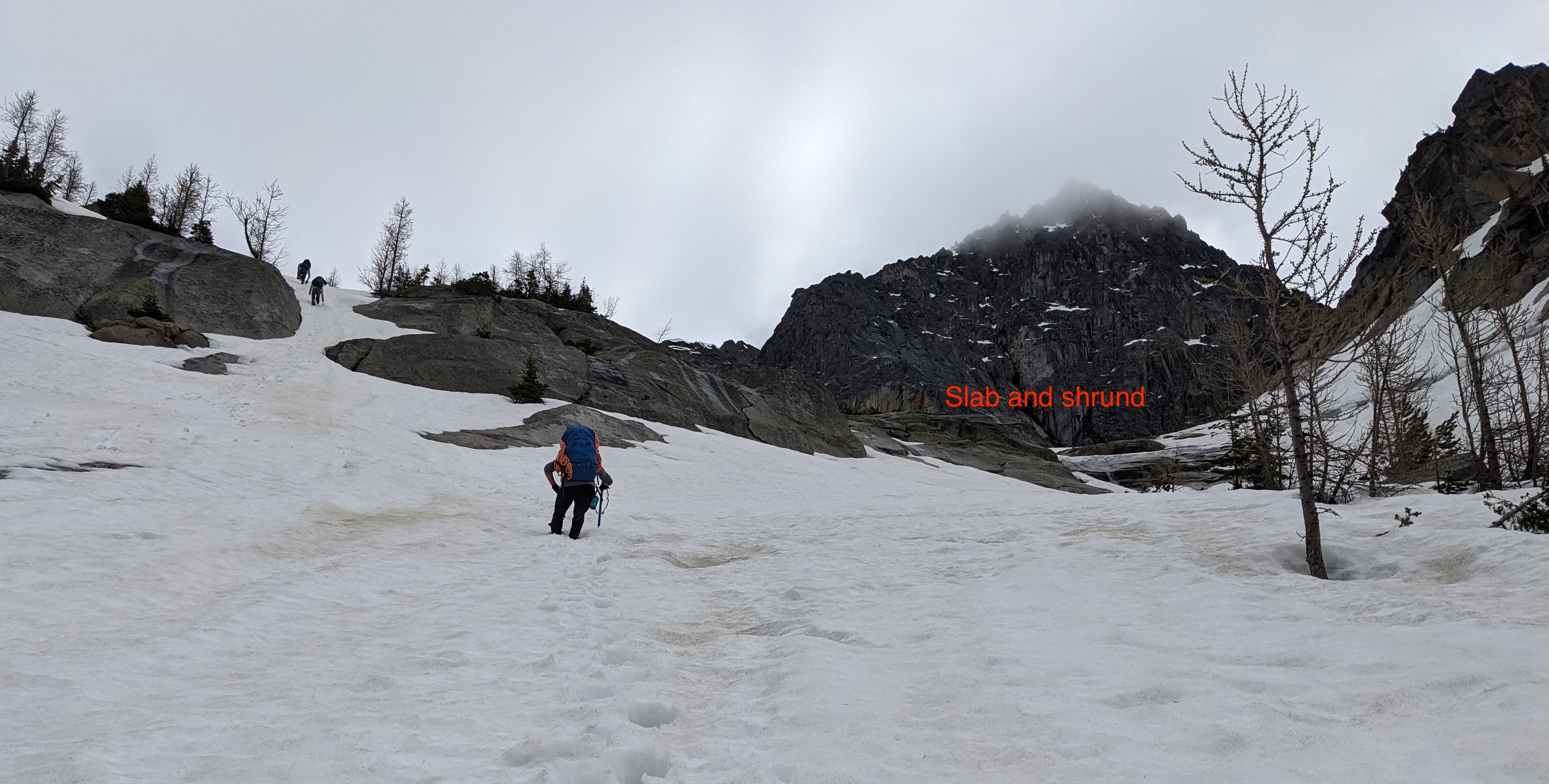
We filled up on water on at the edge of the snowfield, and were able to skip the slab rocks entirely via snow on the left.
The finger reading to the notch was in good shape, sluffing a few predictable and small loose wets from the first in our party (4) total. The finger had no notable features, entirely snow. We did make the mistake of veering right near the top rather than left and paid for it with some exposed scrambling to get over to the notch.
Climb
Pitches are as advertised. Some of the better resources are: tumtum, jamie curtis 2015, jamie curtis 2017, and carl p 2017 which includes an awesome hand drawn route topo sheet!
We took Jamie's advice and pushed P1 through the right facing corner to shorten P2. This ended up not quite necessary, we stayed fairly in line with the belayer over the face and the belay was in line (not really any rope drag). I believe our belay was further to climbers L than described, but it lined up great for rope drag and fed into P3 with ease.
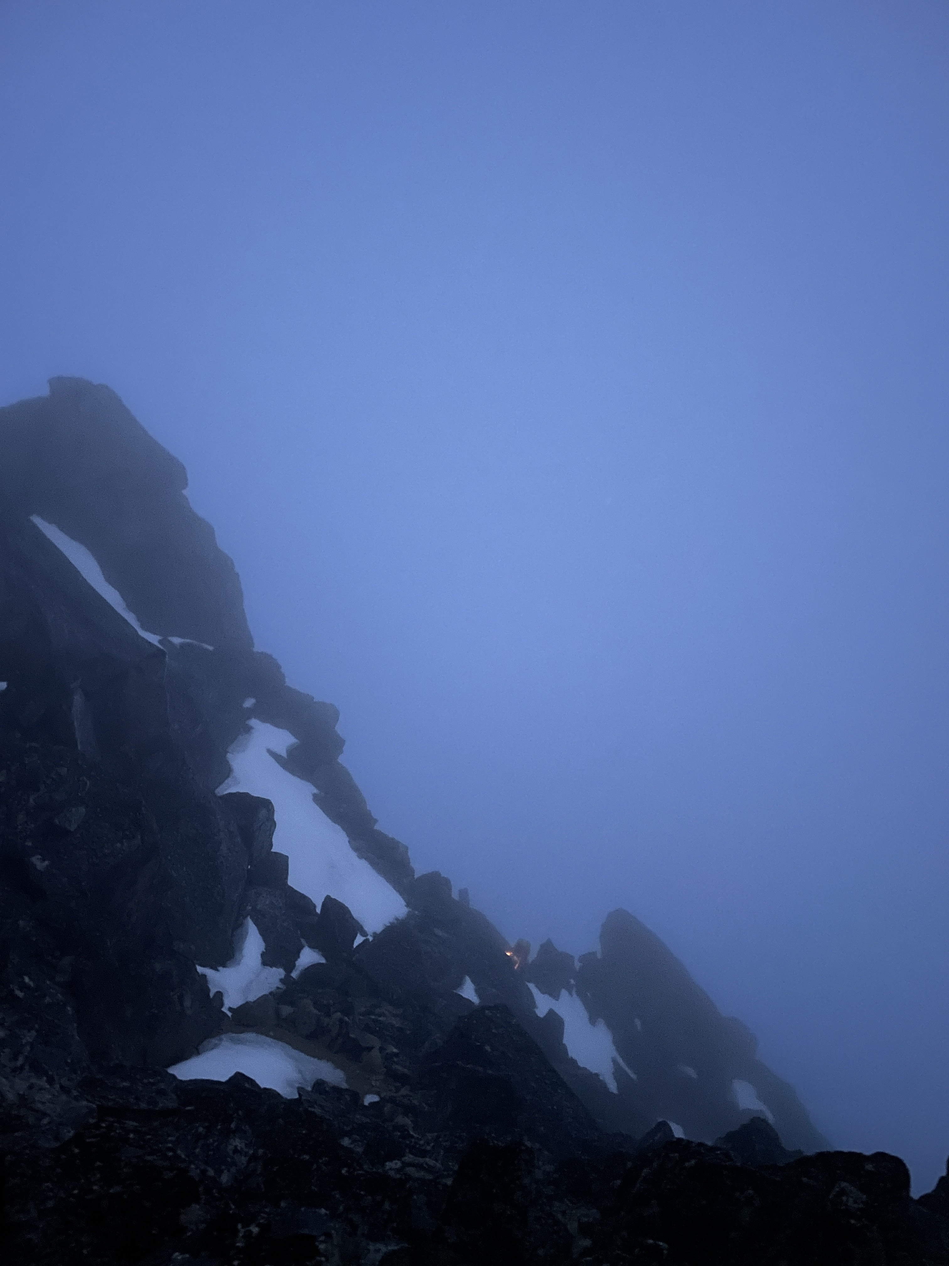
Unfortunately, I led the last pitch by headlight, so I don't recall too much of what happened on it, but I topped out the gully to an easy natural anchor. 2 in our party cleaned up the bivy sites (chipped ice away) and we went promptly to sleep.
Summit
The scramble to the summit is straightforward.
Descent
From the summit, go through the tunnel. Down climb to a notch, then scramble up the other side to the start of the snow field. It was a little steep (about 40deg) for the first few steps and we all put on aluminum crampons since the snow was hard in sections. Take a long, descending traverse down and to the right. From Jamie Curtis, the rap station is at: Lat=47.470342; Long=-120.858916
Rap 1: We did a double rope rappel to solid ground below the rings.
Rap 2: We rapped from the tree down the overhanging face. We stopped at the first set of nuts (single rope rap distance) and had to replace the sling. This took some time and a climber above me on the rappel moved (to lookers right) around causing rock fall directly onto the anchor. Watch out for this- I'm fine but I did take a rock to the head. Big thanks to my helmet! Note if you do a double rope rappel, go past this first set of nuts to the second- it's better.
Rap 3: Double rope rap down to the snow! (again, doable with single rope rappel, there's a well-placed station for you)
The snow is trivial from here to colchuck glacier and down to the lake. Then it's trail to the car!
Timeline
Planned
Actual
Diff at step
Trailhead
8:00am (0hr)
9:00am (0hr)
+1hr
Leave trail
9:30am (1.5hr)
10:30pm (1.5hr)
0hr
Snow
12:00pm (2.5hr)
1:30pm (3hr)
+0.5hr
Notch
5:00pm (5hr)
3:30pm (2hr)
-3hr
Start Climb
5:00am SUN
5:00pm (1.5hr)
time spent deciding to go for it
n/a
End Climb
–
10:30pm (5.5hr)
n/a
Summit
12:00pm (7hr)
9:00am
-1.5
for climb
Start Rappels
1:00pm (1hr)
11:00am (2hr)
+1.hr
End Rappels
3:00pm (2hr)
12:45pm (1.75hr)
-0.25hr
Colchuck Col
4:30pm (1.5hr)
2:30pm (1.75hr)
+0.25hr
Colchuck Lake
5:15pm (.75hr)
3:15pm (.75hr)
0hr
Parking Lot
7:45pm (2.5hr)
8:45pm (5.5hr)
+3hr
RESCUE
Note: below colchuck lake we came across a hiker with a broken ankle and joined some others in carrying her out to the cars, adding a few hours to the descent.
Gear Notes:
Slings: 8 doubles, 6 singles +anchors Pro: full nut set, single cams 0.3-3 + doubles of 0.5, 0.75. If you can stand the weight, another #1 would have been great for use in anchors. Shoes: I used 3 season mountaineering boots, light crampons, and rock shoes.
Pictures
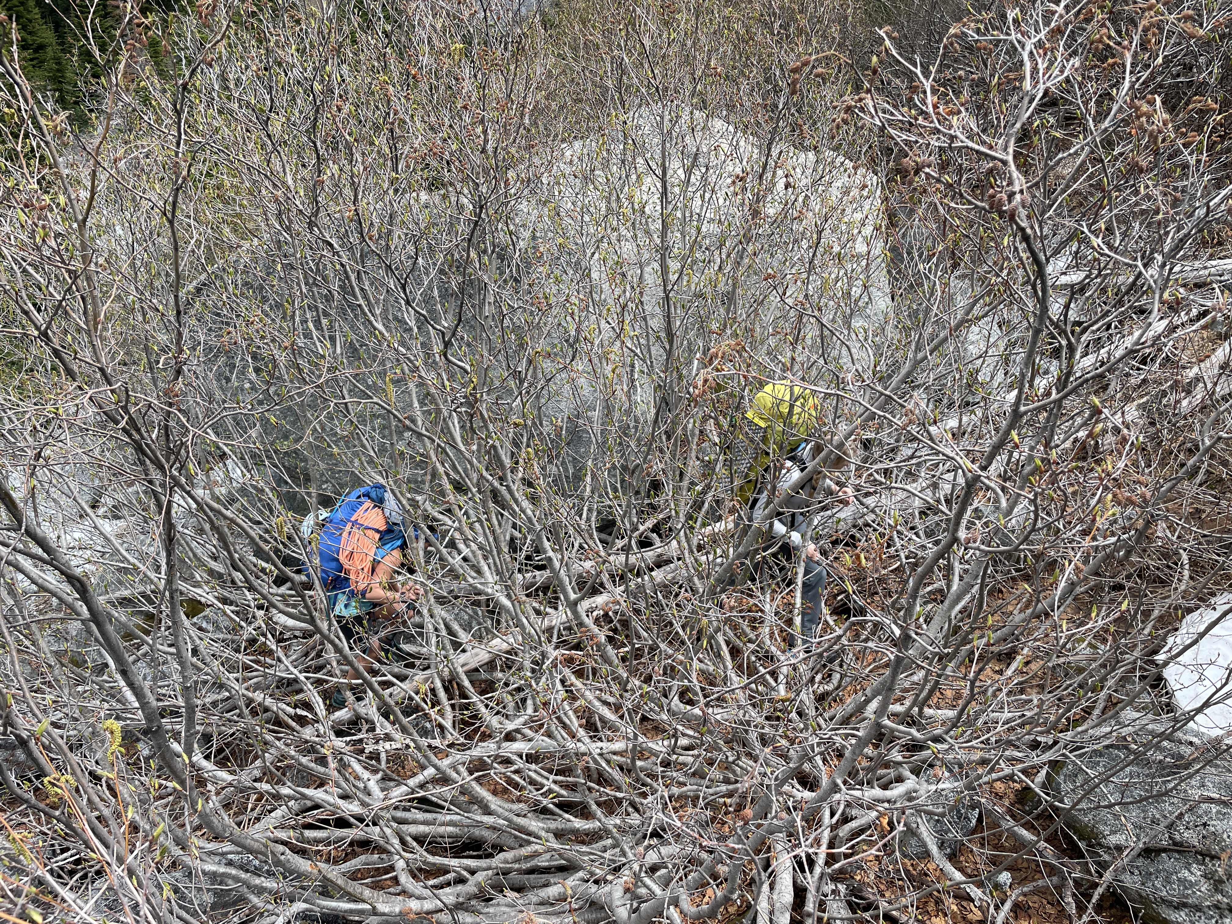
Slide Alder- in case you aren't familiar:
Our bypass of slab rock:
Snow finger:
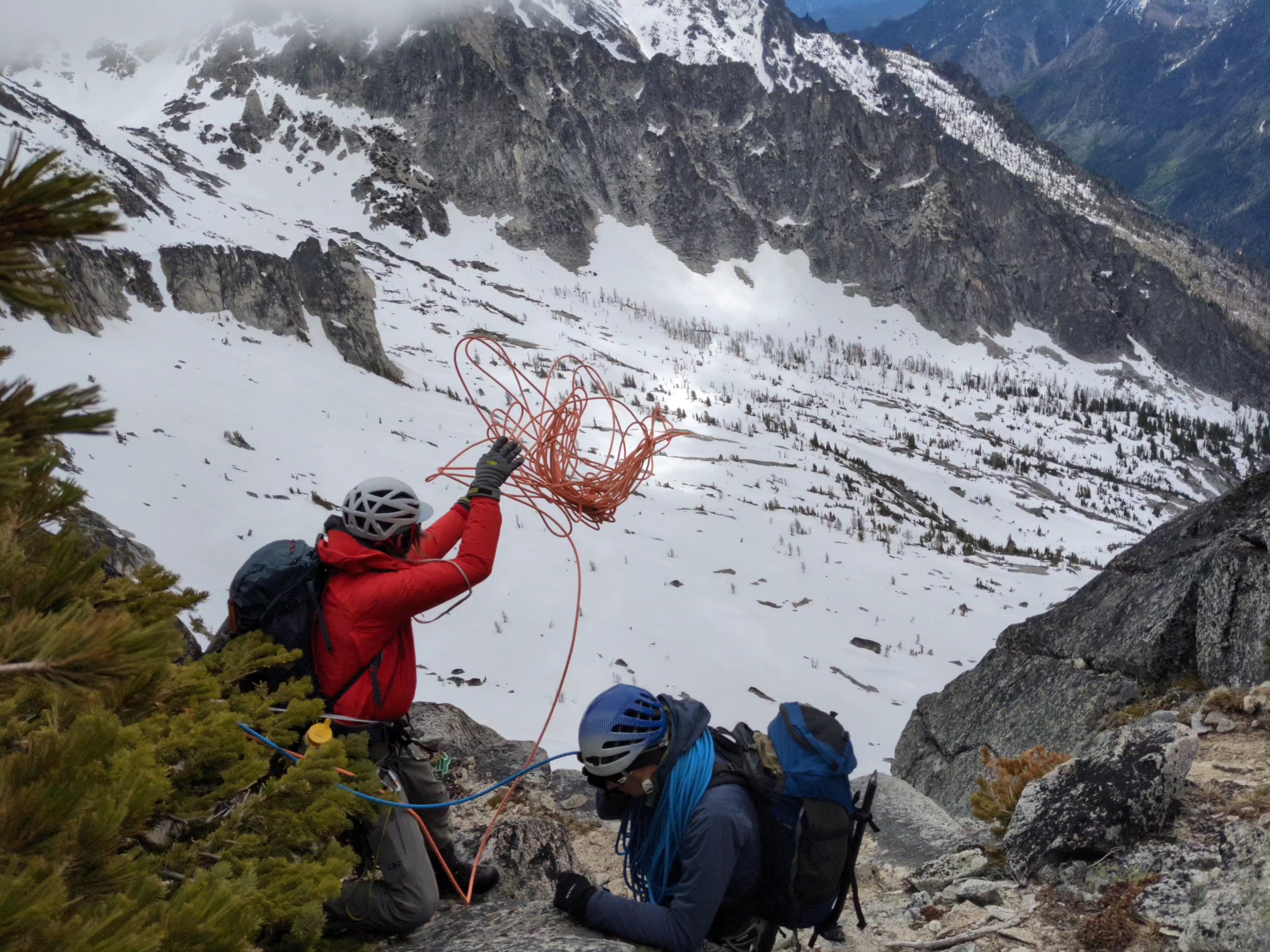
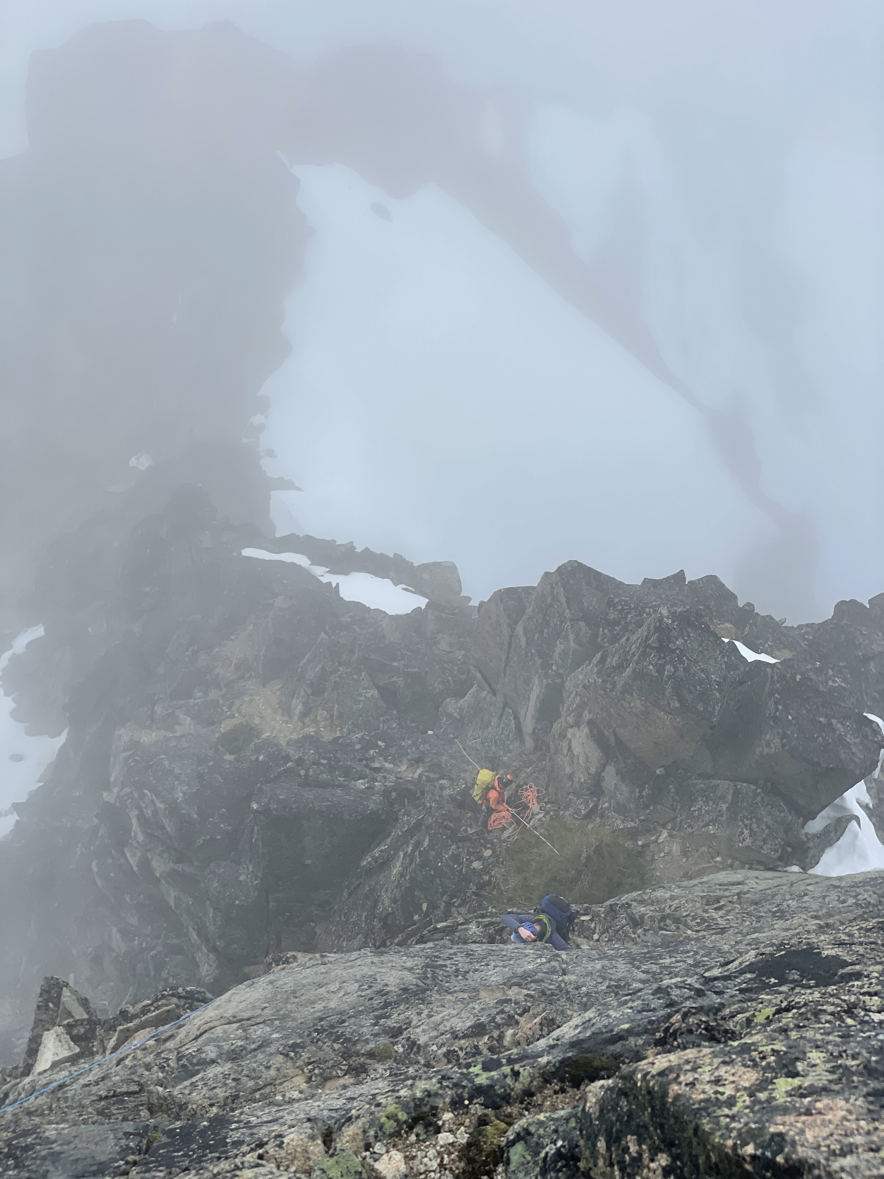
Photo from our P2 top:
Where I topped out the route:
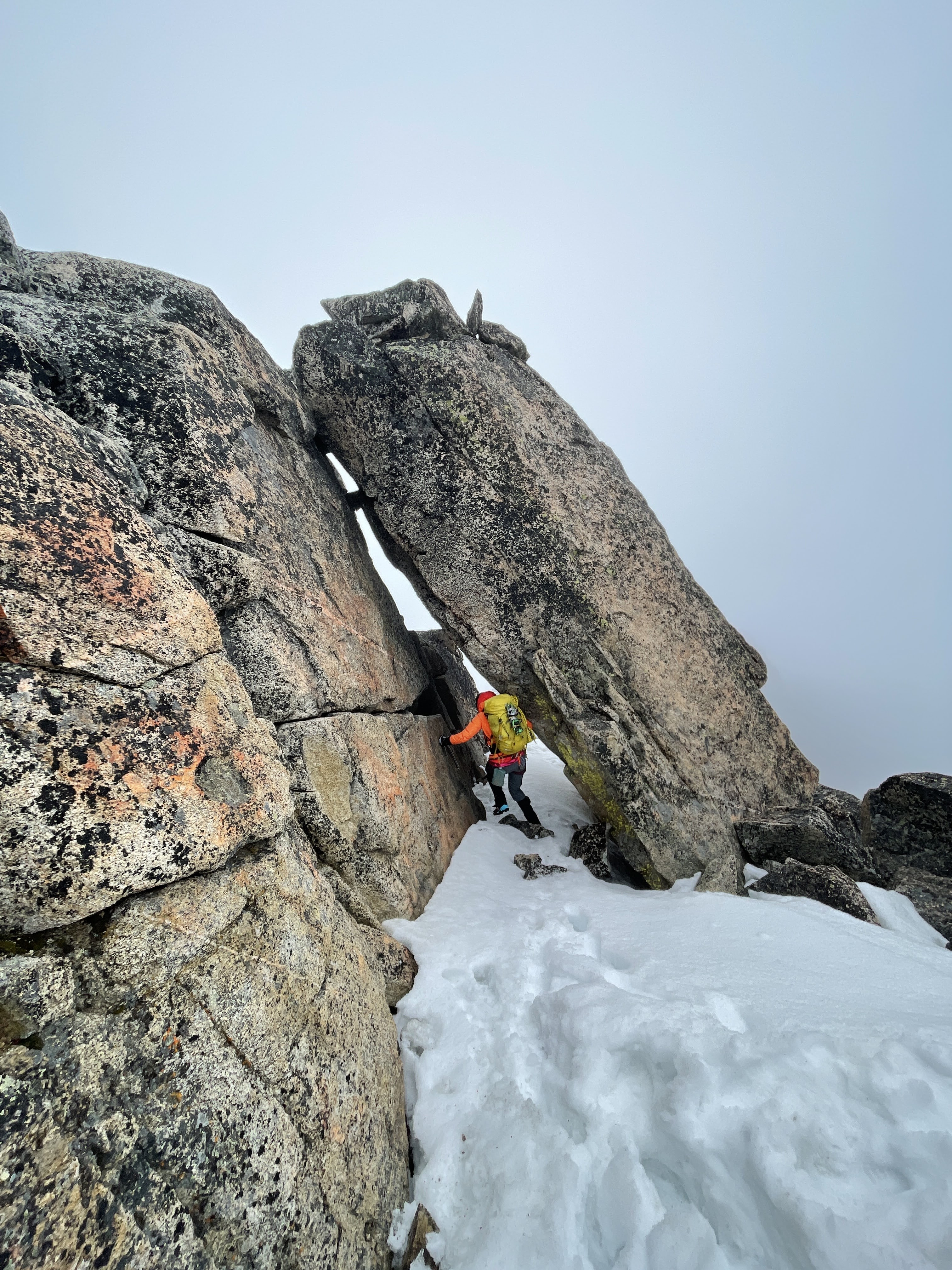
Summit tunnel:
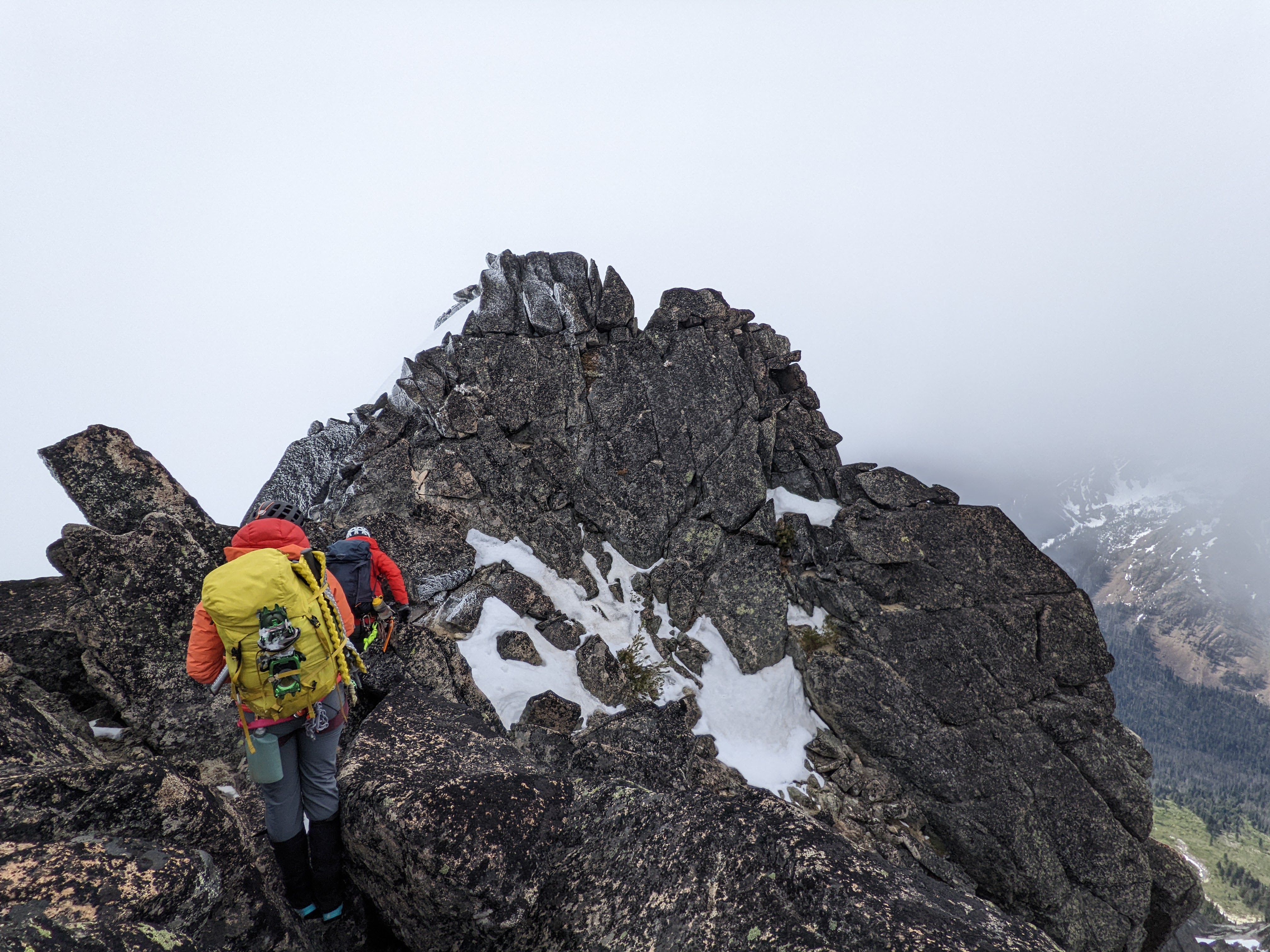
Scrambling down after summit:
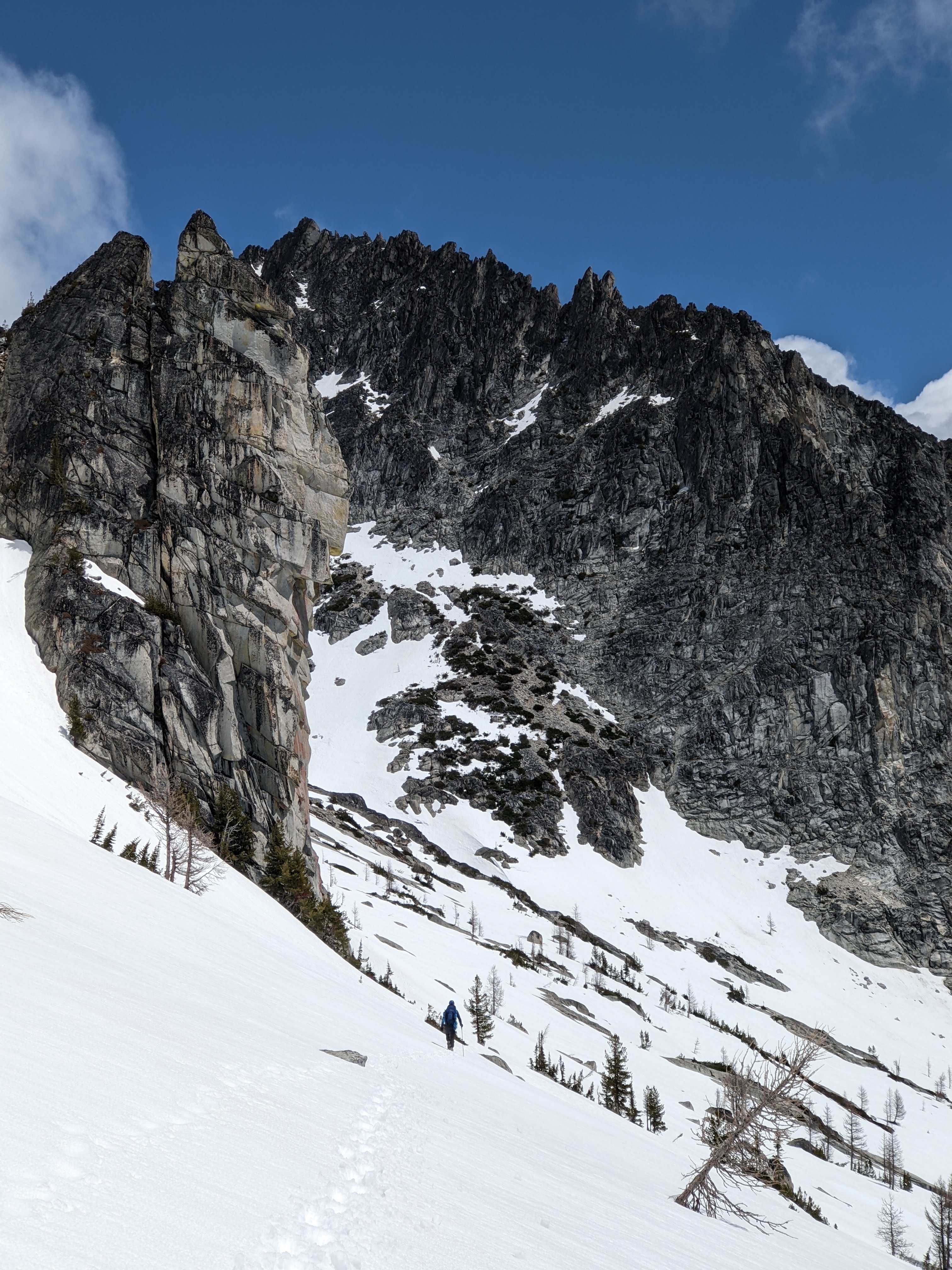
Notch where we went up to gain the snowfield (just a couple steep steps then mellower):
Descending the snow:
Top of Rap#2
Walking out the snowfield after rappels:
GPX
Argonaut-2022-06-19.gpx
Argonaut-2022-06-18.gpx


.jpg.30dcd07849f15b428bb95a2eacf6bfc7.jpg)