


PaulO
-
Posts
134 -
Joined
-
Last visited
Content Type
Profiles
Forums
Events
Posts posted by PaulO
-
-
I would call or email the Detroit Ranger Station. I was interested in Marion Lk TH a couple weeks ago (listed no access) but when I emailed was told it was clear to TH. Things change fast and they update website slowly.
-
fixed...or not?
-
Where did you start from?
-
Officially:
http://www.fs.fed.us./gpnf/04mshnvm/trails/index.shtml
Trails in the Restricted Area (yes the mountain IS in this area)

A restricted area has been established in the heart of the National Volcanic Monument to protect opportunities for scientific research and allow for the recovery of plant and animal life. The following rules apply in the restricted area:
Stay on the trail; off-trail travel prohibited. ($100.00 minimum fine).
No camping is allowed in the restricted area.
Disturbing research plots or removal of any natural feature is strictly prohibited.
Access into the crater is strictly prohibited.
Fires are not allowed within the blast area. Stoves are allowed within the blast area.
Pets and bicycles are prohibited.
For more detailed information and maps, contact one of the Visitor Centers or a Forest Ranger District Office.
-
 1
1
-
-
Far as I know it is the same rule as the surrounding forest, dogs permitted on a leash. I will try to find it on the FS page.
-
Mickey refuses to be drug anywhere. He either leads or stays home
-
They used to be OK.
Course you need to teach your buddy to stay close. Avoid windy days - they are real hard on their eyes.
-
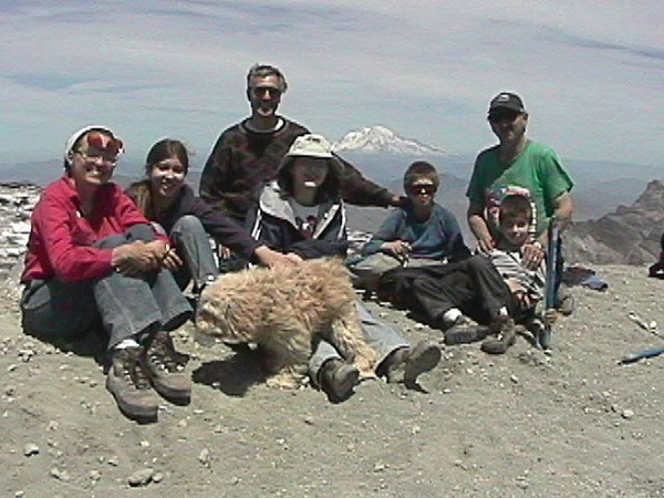
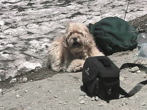
I learned the hard way a long time ago never take a dog climbing or hiking that is bigger than you can pack out. Anyways, not sure why they would take a dog up in these conditions but lots of dogs love to do it. My pooch, mostly cocker spaniel, when he was younger has been up Mt. St Helens twice, South Sister, Middle Sister 3 or 4 times and all but the very top of the North Sister as well as hiking hundreds of other wilderness miles. Probably the reason he still is around at 17 and up to 10+ miles.
GREAT NEWS on the group being found OK!
-
No more video on the net, how about on cable???
-
Plus cnn feed breaks up a lot as helicopter repositions.
Nothing right now.
-
Please keep it clean,
Live feed on cnn.com. 3 minutes for free or $2.95 a month internet quality video if you're like me and no cable.
Our prayers are with them, Get them out alive!
-
Choppers can ferry searchers in even though it is Wilderness as it is an emergency (I have seen it done). Trouble is it takes much calmer conditions than you are likely to see up there this time of year to safely get close enough to the ground to put someone down.
-
He was WALKING

-
I like that link
-
Ditto that.
Bundled up and took the wife, kids and a friend up yesterday to walk a couple miles of the trail from the Lodge north in the 'snow'. Downright nasty. Icy, gusty wind, just a few inches of windblown snow and these tiny ice pellets sandblasting your face. We didn't get far cause our friend was fearful of sliding off the trail where the wind depostied snow was deeper.

Decided to check out the fireplace in the old lodge instead

Saw a guy slowly slide down the hill in the wind on the ice in the parking lot quite a ways little by little until a lodge employee came over and grabbed him.

-
-
I have quite a few pics from a couple trips I will see if I can post some this weekend. Not sure what you want but have general tourist takes pictures kind of things...
-
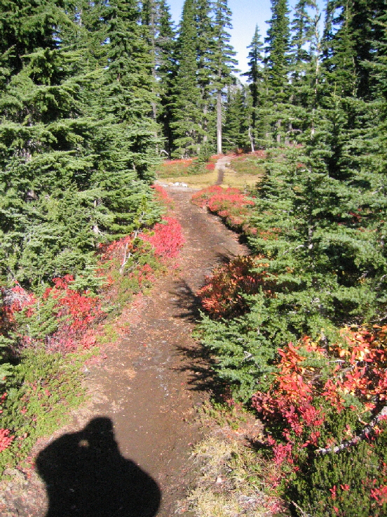
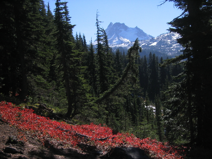
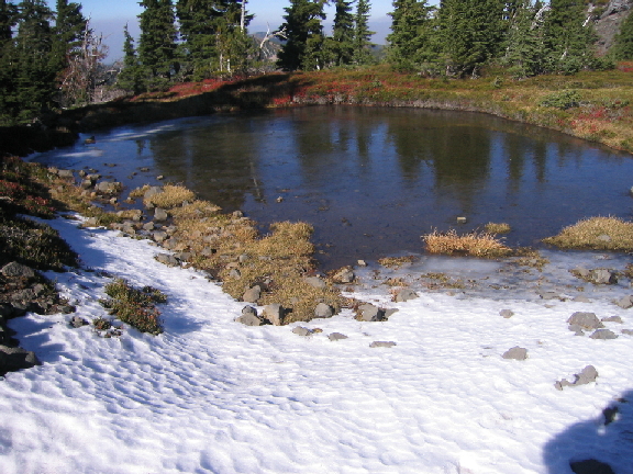
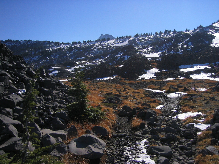
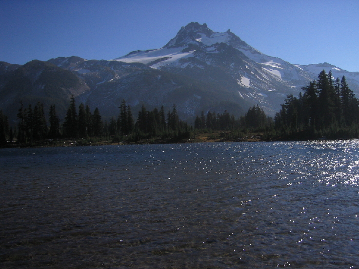
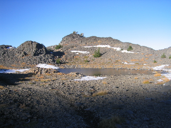
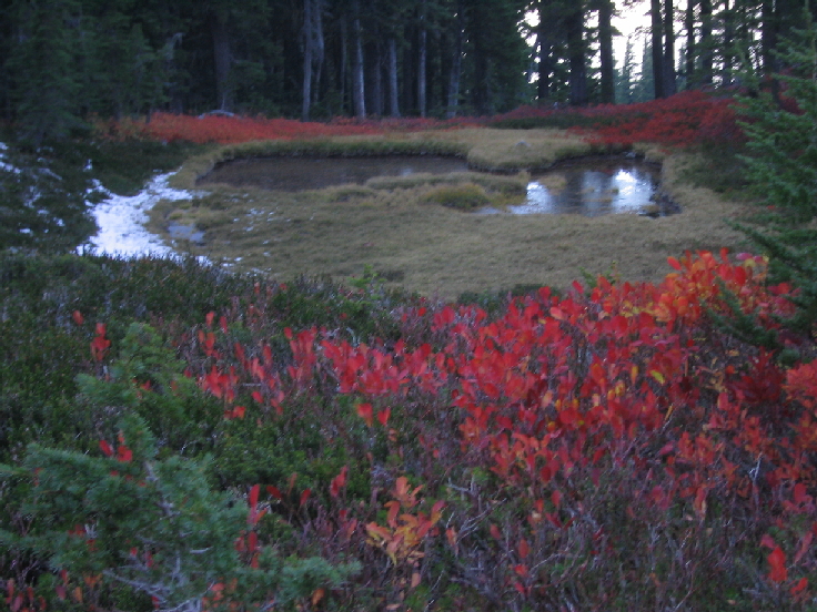
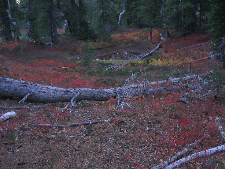
It is a pretty place any time of year but especially fall.
The only people I saw were a couple heading over the top of the ridge to do the same thing (camp) that asked directions. It looks like this weekend would be a repeat, doubt enough snow fell yesterday to cause any problem.

-
I have used Windows Movie maker for a long time too.
It gets the job done and it is FREE

-
Made pictures BIGGER!
-
Did you ever get any responses?
-
Climbing Season - November 01-March 31
A permit is required.
A permit fee is not charged.
Climbing use is unrestricted.
On-line registration is not required.
You must register and pick up your permit at Jacks.
I still have three blank permits and parking passes Jack's gave me...
http://www.cascadeclimbers.com/threadz/showflat.php/Cat/0/Number/596281/an/0/page/0#596281
-
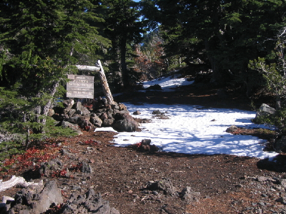
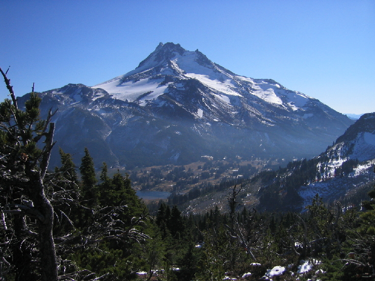
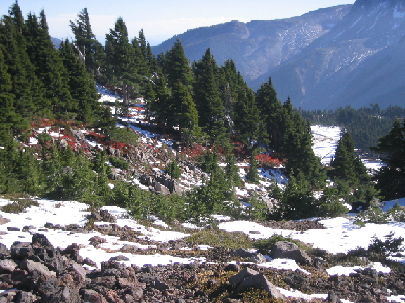
Climb: Just a walk-PCT BB Lake to Jeff Park
Date of Climb: 10/21/2006
Trip Report:
Quite possibly the best late season hike in Oregon!?!
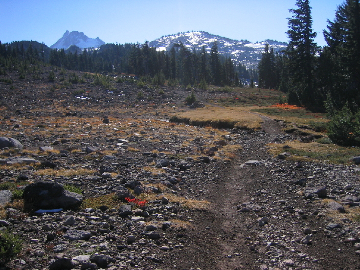
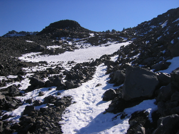
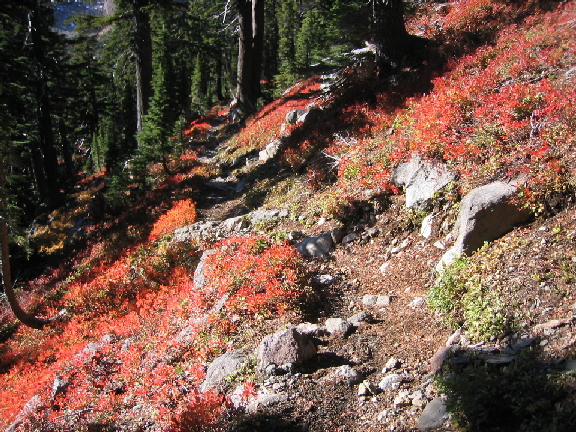
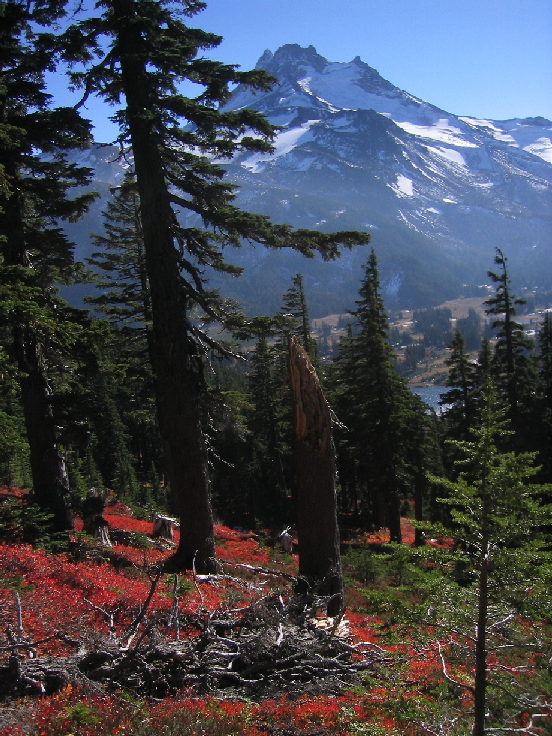
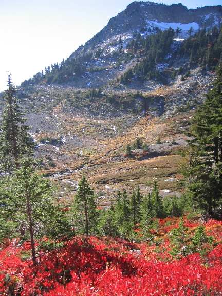
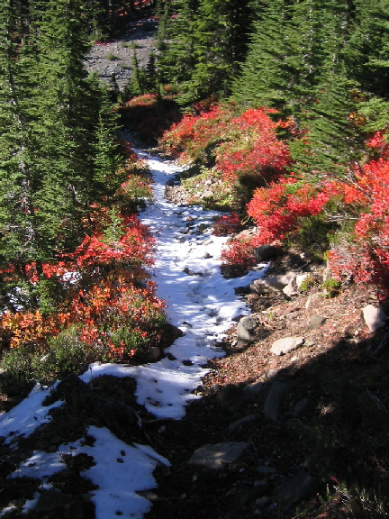
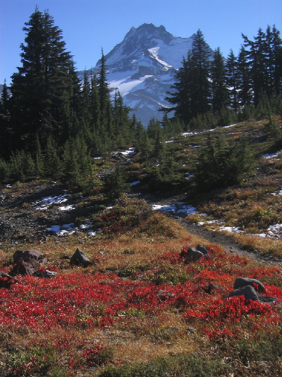
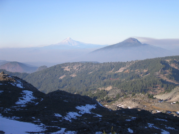
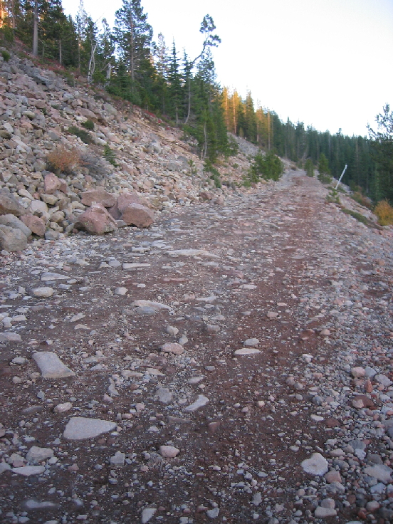
The Highway in is as good of a road as ever!
But my '91 Nissan w/ low hanging pipes made it fine!
Approach Notes:
Just enough snow to smooth the rocks up high...
-
Way to get it done! Great report.
North Sister Question
in Oregon Cascades
Posted
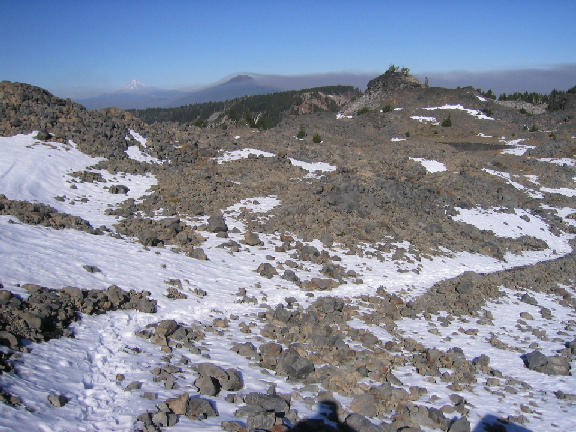
Lousy enlargement of picture from last fall taken from above meadow looking up at face of traverse.
Bowling alley IS where red circle is, actual traverse on snow is likely higher up than blue circle. Summit is left side.