

Otto
-
Posts
489 -
Joined
-
Last visited
-
Days Won
16
Content Type
Profiles
Forums
Events
Posts posted by Otto
-
-
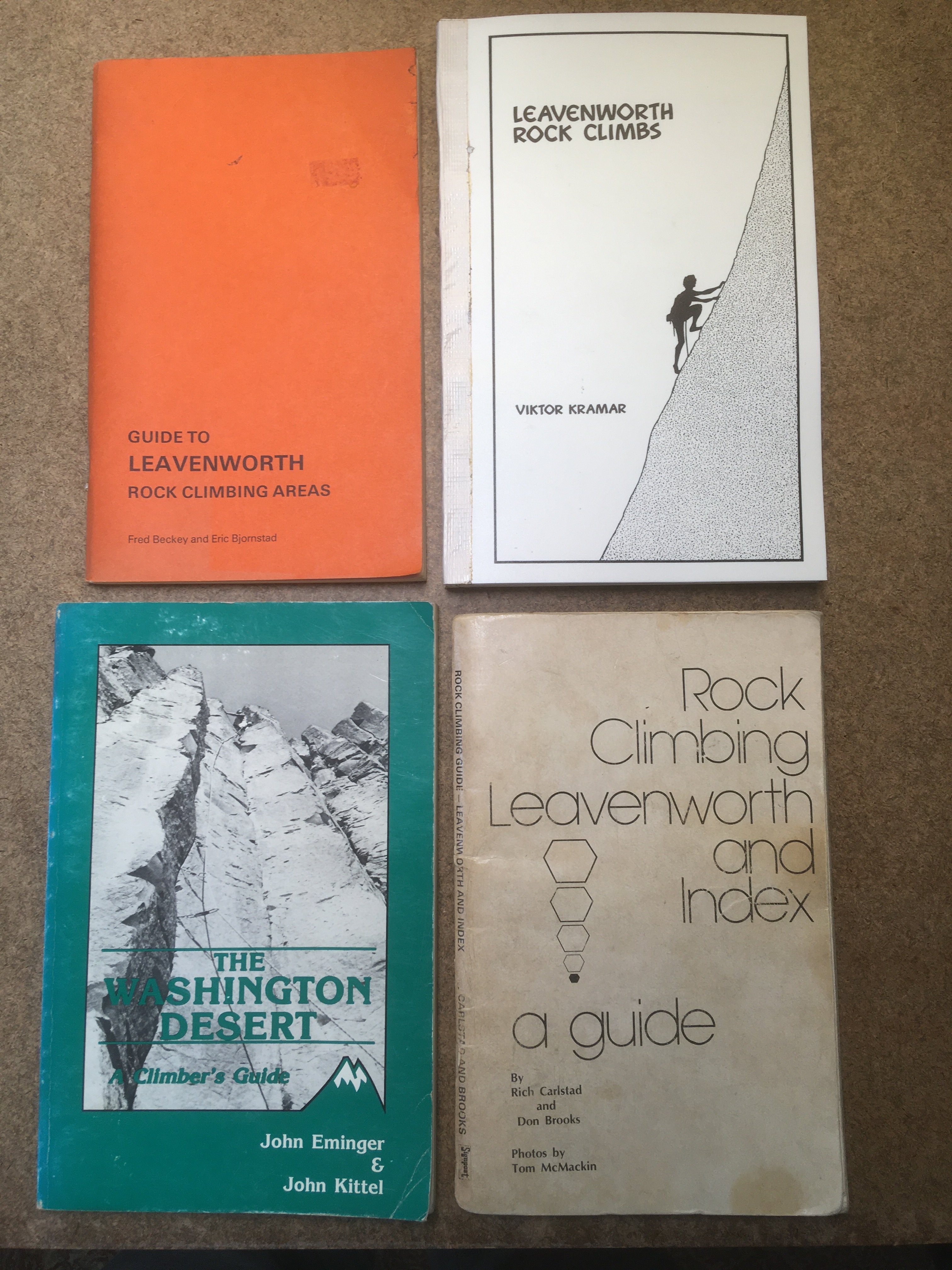
Oly, my copy of the Beckey/Bjornstad guide to Leavenworth is first edition, fourth printing.
-
Here are four from my old guidebook box. The Rich Carlstad/Don Brooks book was the one I followed around when I first started climbing in the late 1970s. I've met both those guys, but never climbed with them.
-
 1
1
-
-
Of course I will provide a couple of stills to gain interest. Here's what it looks like when walking upstream:
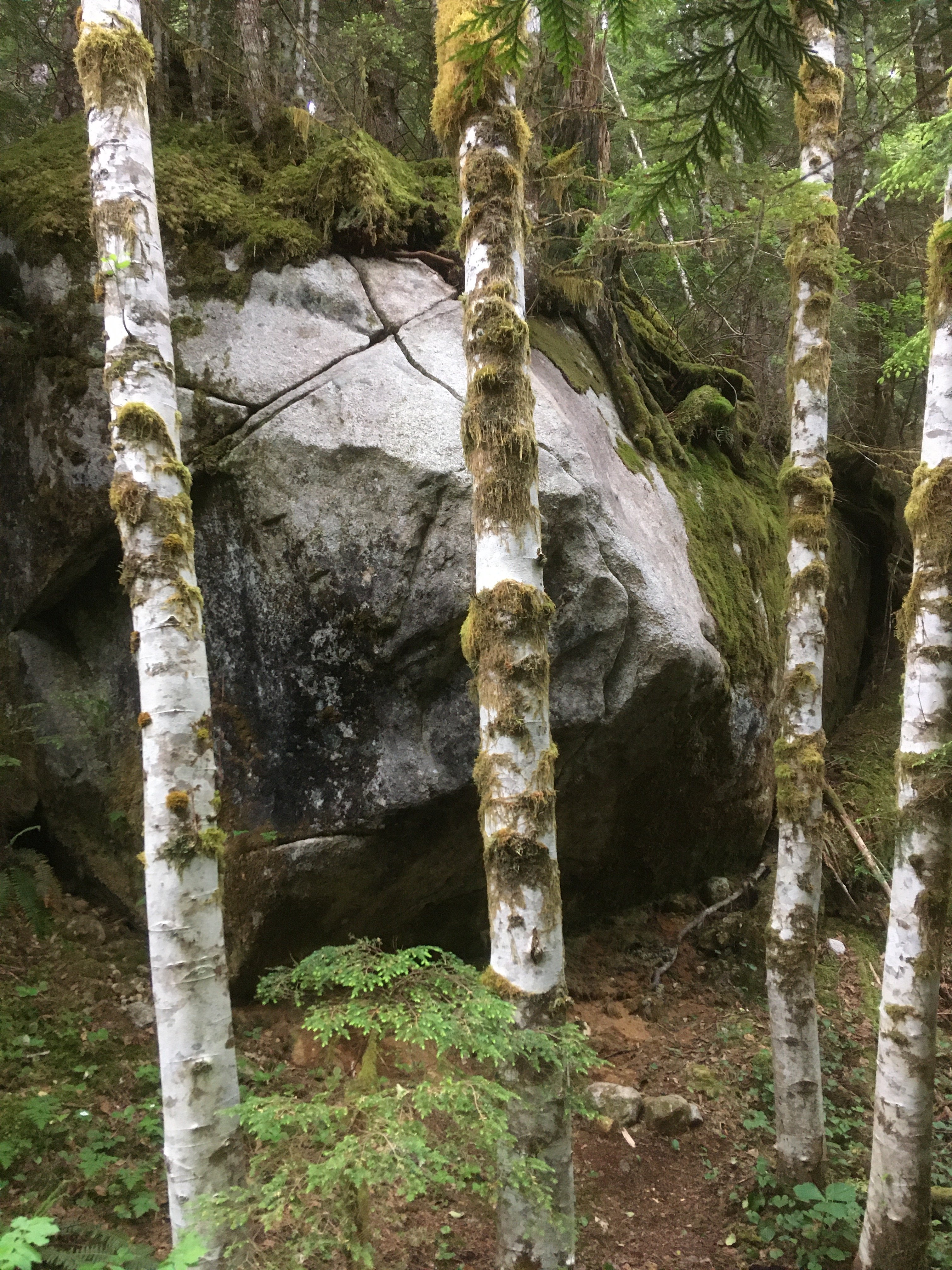
Here's what it looks like at the bottom:
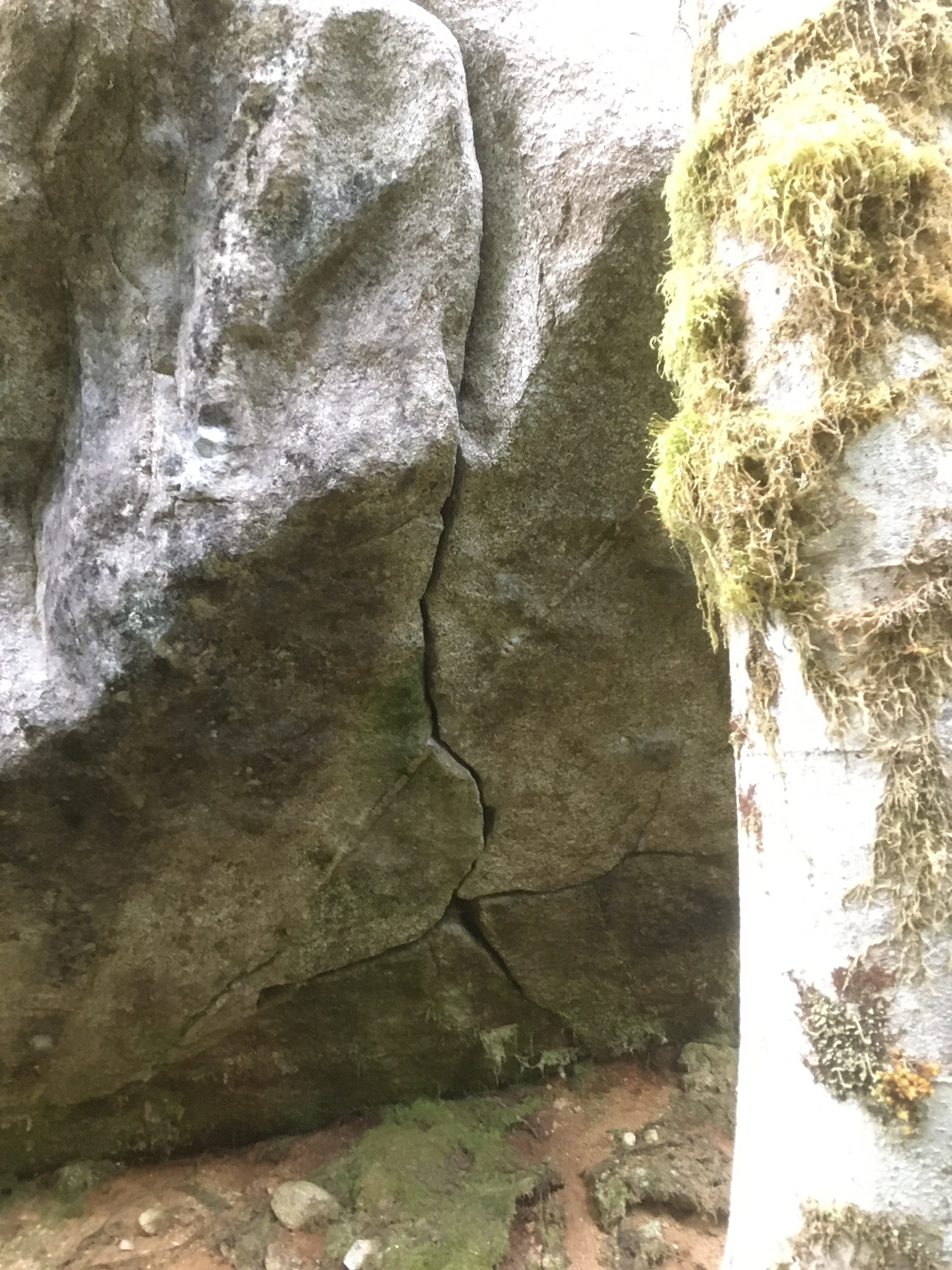
This may be a tall persons' climb; I could not get established in the crack without using my highest possible pinch, and I'm 6'1". I hope others will be able to get a fingerlock to work lower down...
-
Does any one of the Darrington old timers out there know of any other attempts on this rock formation? Could this have been a testpiece of the past, left to be grown over and forgotten?
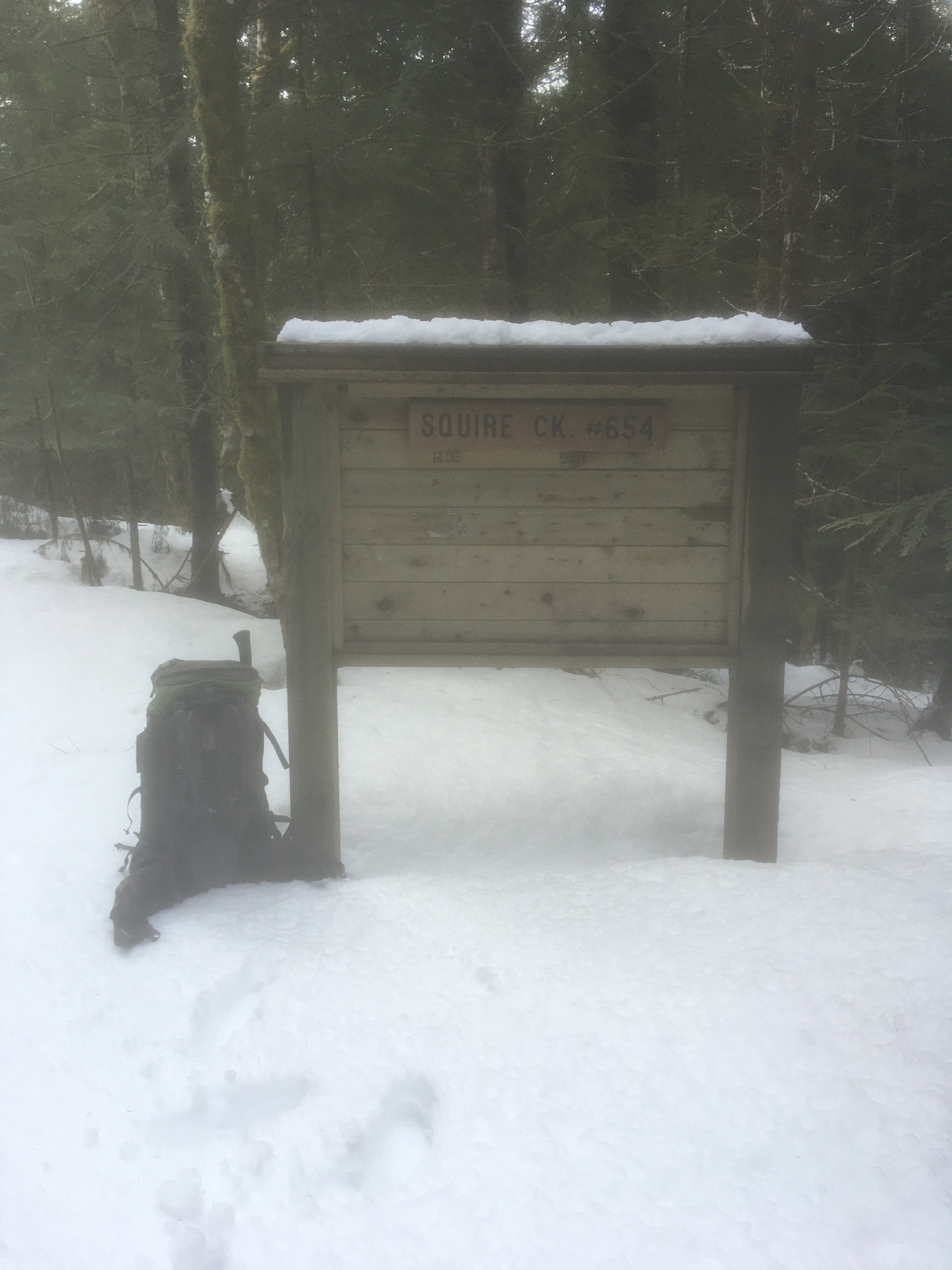
This is about four miles up the Squire Creek logging road, just a few steps off the single track. It is now obvious from the road now that it has been cleaned. I'm calling it Loggers' Crack. Please see this Mountain Project forum note:
-
Thanks for a very interesting trip report! Like the leisurely style.
-
1
-
-
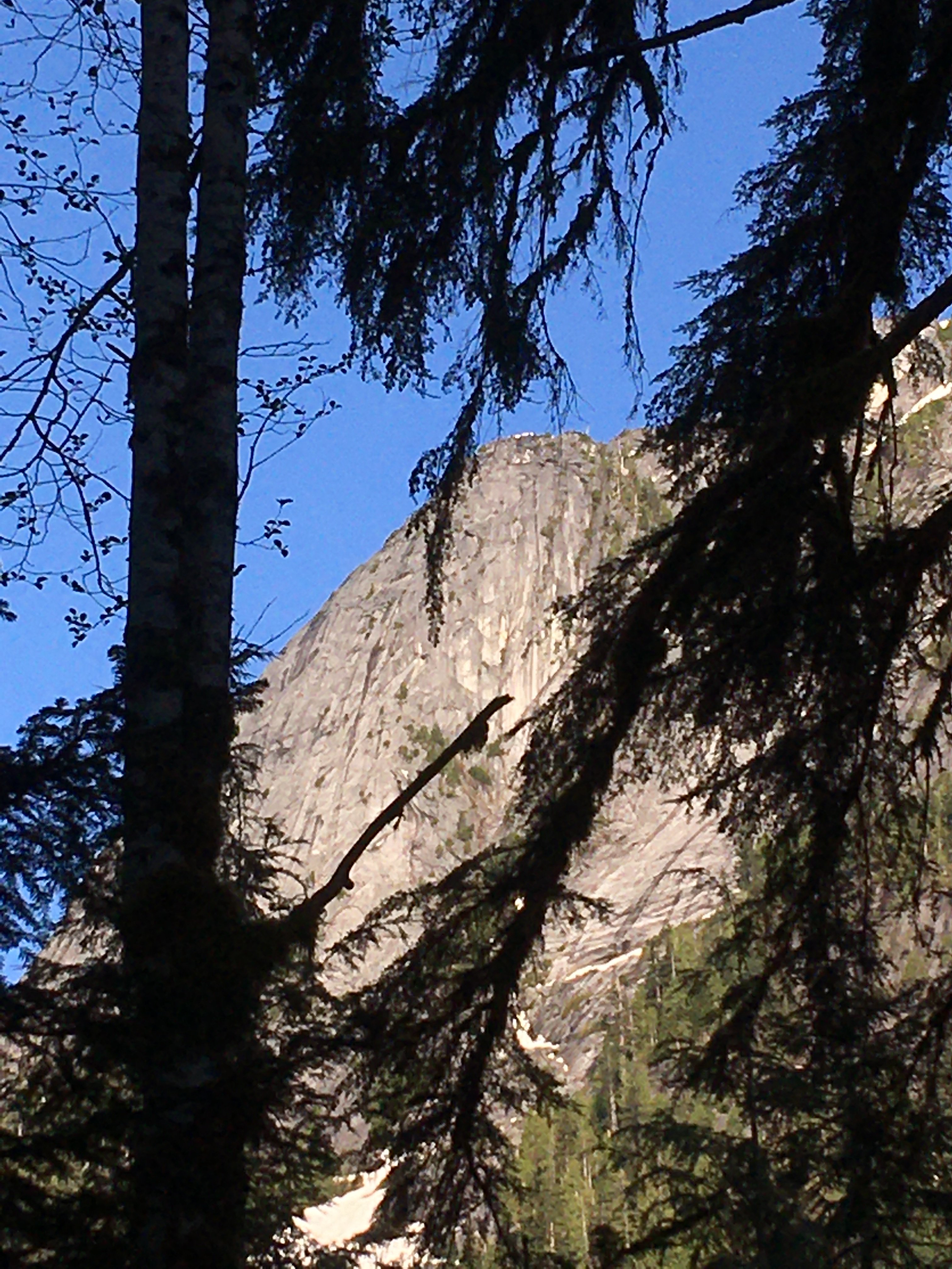
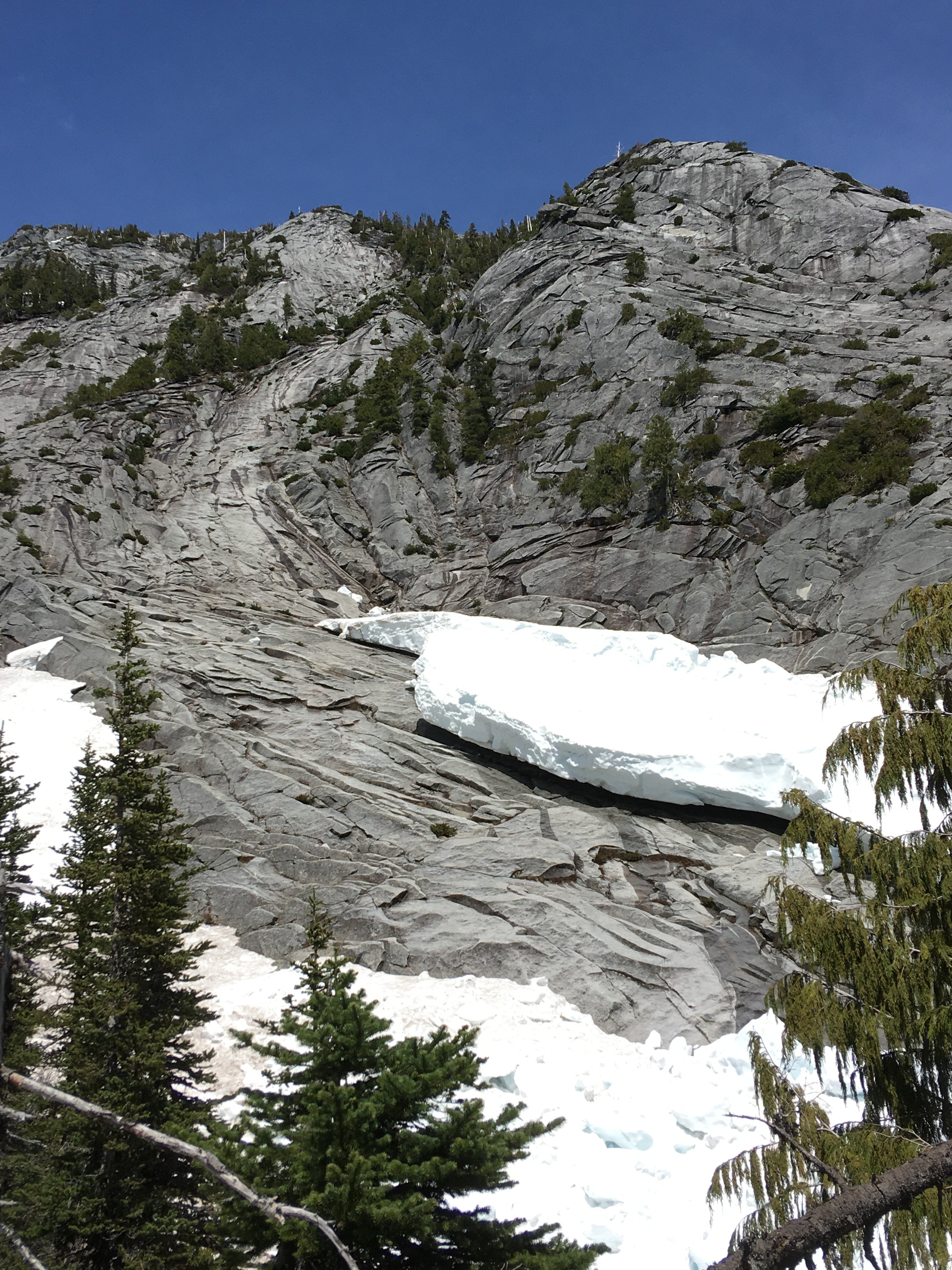
Trip: Squire Creek Wall, South side - Hike up a boot track
Trip Date: 05/11/2023
Trip Report:On Thursday I took a bike ride up the Squire Creek valley out of Darrington, and then a hike across the creek and up the other side. After parking at the newly graded lot below the new boulders in the road, I found the logging road to be perfectly clear of the winter's debris. The boot track beyond the creek is also free of any new devastation.
I always like to catch Slab Daddy and Oso Rodeo in the morning light:
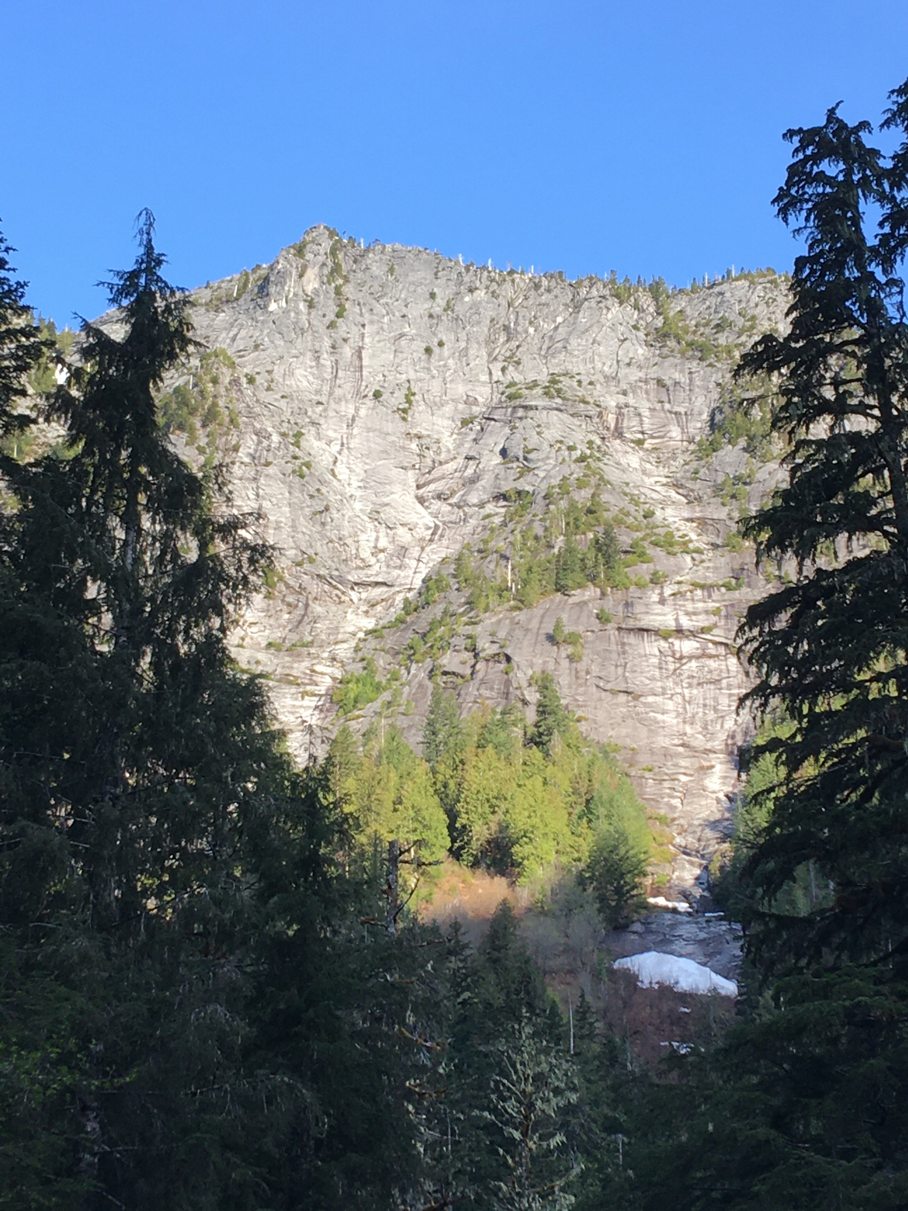
There is a good peekaboo view of Illusion Wall along the way, before the alders leaf out:
There is still plenty of snow perched on the slab at the start of Concerto in C for Drill and Hammer:
Jet Tower on high:
Gear Notes: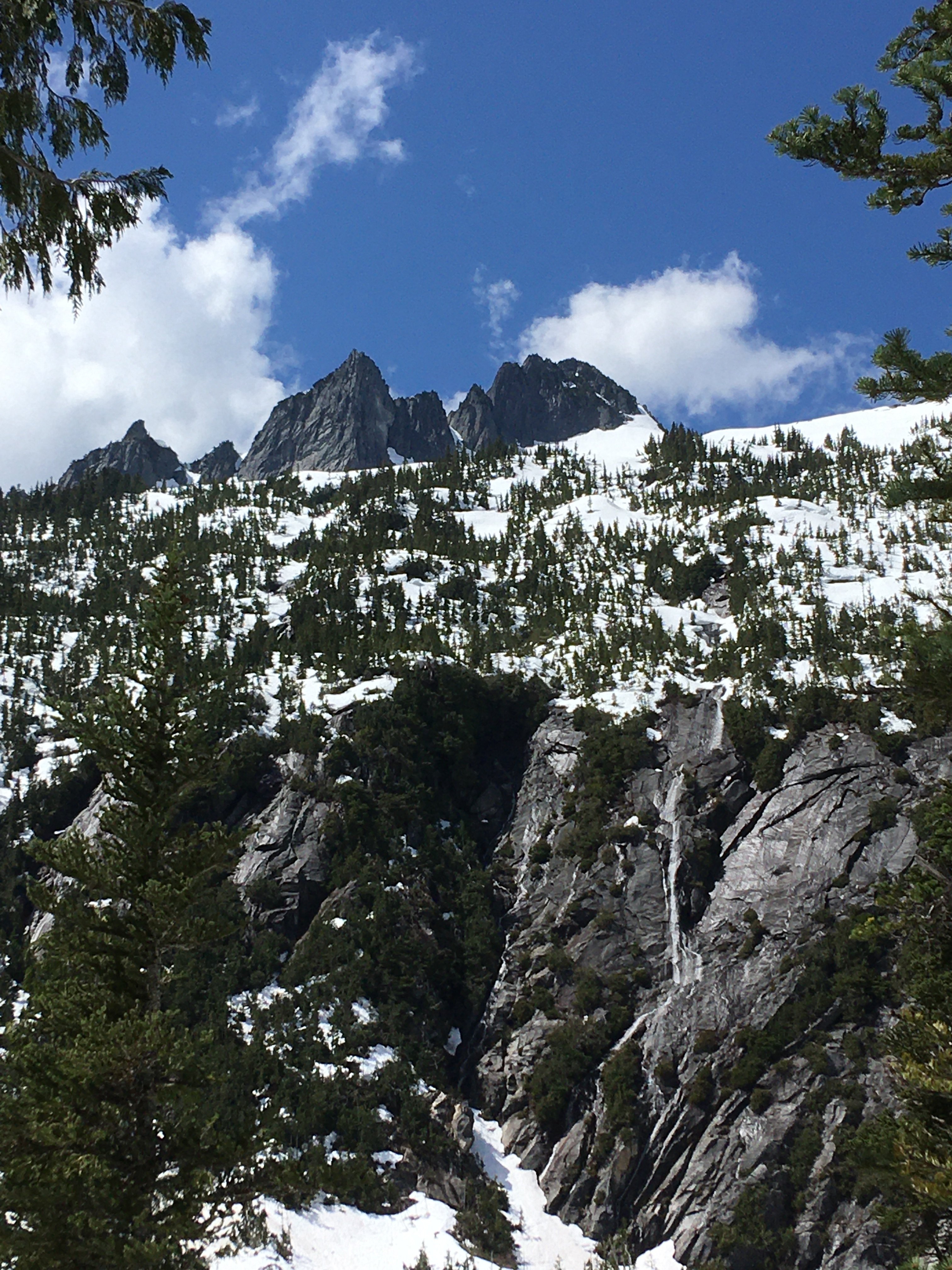
Crampons for the two snow gullies.
Approach Notes:
Approach is in very good shape.-
1
-
-
I need to be in town that day, so I might as well join the club. Will be watching for the venue. Thanks for doing this, Oly.
-
Went up the road this past Tuesday, 5/2/2023, and dragged that last of the branches and small logs off the road. All the snow is now gone, and there is nothing unusual which would cause a bicyclist to dismount.
-
Just visited, on 4/5/2023, the Squire Creek road with an axe. Chopped out six alders and two firs that had come across the road. One of them was still covered with snow, so I cut both ends and left it to roll off the road, later. Other than that, there are no new obstructions that would require a bike rider to dismount.
I walked up to the South Face turnoff point, about four miles up. There was about two feet of snow there.
-
 1
1
-
 1
1
-
 1
1
-
-
I will join if it's up in Lake City. Will check for a poll here later today, thanks for doing this, oly.
-
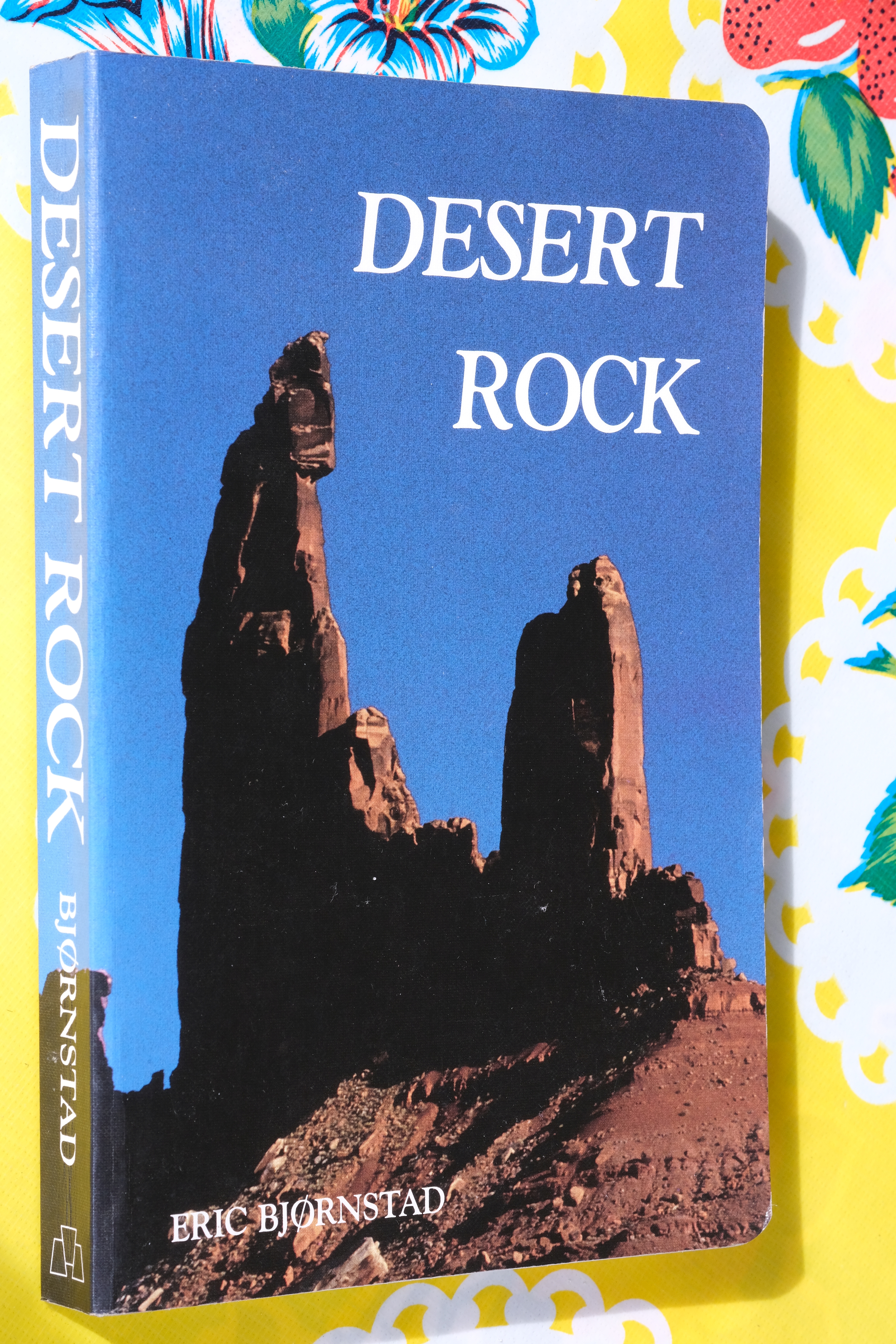
I never met the man but I bought this book in 1989, which was published the year before. As a Cascades climber, I had some desert dreams but was too scared of sandstone to do the adventure trips following the book would require. Too foreign, too strange. I admired his courage and persistence. May he rest in peace.
-
I just can't understand being this organized and well documented while teaching two people who had never climbed a mountain before. Who has time to take photos like that? Amazing trip report.
-
Trip: The Tooth - Indentured Servant
Trip Date: 09/04/2022
Trip Report:
It was another pleasant day out on the jawline of Snoqualmie Pass, another run up the new sport route on The Tooth. On the trail down, Yale and I chatted with a couple of guys from Poland who climbed the route after us, both named Bartek! It was the first time I'd spoken with a party who had done the route, so I was intrigued to know what they thought of it. They said they enjoyed it greatly, with pitches 4 and 5 particularly good. When I asked if they thought it had any loose rock, they just laughed and said I should climb in Europe for some loose rock. Yale and I didn't find anything loose this day, either. Some lichen, perhaps, but that should rub off with time!
Bartek on p1, belayed by Bartek.
Gear Notes:
12 qd
Approach Notes:
Denny Creek trail to a turnoff point among the switchbacks before Hemlock Pass.-
1
-
1
-
1
-
-
Great photos! I was there a long time ago, good to see the area again. Thanks for the trip report.
-
1
-
-
You guys were having fun, no doubt about it. Glad you are making the most of August!
-
I would be up for this if it were at a place with outdoor seating. I haven't had so much as a cold in over two years, and don't want to get one now.
-
Thanks for the fine trip report. The full-on description of your approach will be helpful to me soon, I hope.
-
This is a fun-to-read, well-themed trip report. I read it all, it was entertaining; don't thank us, we thank you!
-
1
-
-
Thanks for the excellent TR. Good writing and informative photos are appreciated.
-
1
-
-
Wow, I want to do that trip. Thank you for the good photos.
-
Thanks for the link to an entertaining article. I would not have seen this otherwise.
-
Nice work, nice photos. What camera are you using? And yes, we are growing all the time, on the good trips anyway. I enjoyed the photos and reading of your 'freeing experience', well said.
-
Trip: Crystal Lake Tower - SW Rib
Trip Date: 07/03/2022
Trip Report:
We two Seattle climbers made a pleasant 3-day outing to Crystal Lake Tower. Having climbed Whitehorse Mtn. with Kellie McBee the previous week, I imagined we'd be in shape for this. After gleaning details of the route from trip reports here, and, of course, Fred's Cascade Alpine Guide, we carried out the trip without any trouble. A leisurely hike up Ingalls Creek for 7.7 miles brought us to Crystal Creek. A ribbon on a log marks a spot to turn uphill. Blowdowns made the boot-track hard to follow at first, but we soon picked it up. It goes into big boulders on the way into the tarn basin, where I somehow had my camera out for this shot:
Camp was found in some trees near the tarn, where we could see the objective of tomorrow's climb:


Under clear dawn skies we made our way around the left side of the tarn to the left side of the route's toe. I have long been enchanted by the Nightmare Needles, having climbed Little Snowpatch with Mark Landreville in 1989, so I took some shots along the way:

Easy simul-climbing starts the route, and here is Kellie coming up:

Little Annapurna is just across the creek:

We knew to aim for a large-looking white headwall and pass it on its left side. My partner expertly scoped it out:

Wonderful, improbable ramps curve around the final block of stone to the summit. The obligatory summits shots were made:

The Enchantment Lakes were still snowy in a mellow late-season way. Crystal Lake is bottom left:

I once climbed McClellan Peak while trying for Argonaut in a whiteout, by myself, so I enjoyed the view of where I once stood:

It was with relief I walked the easy descent along goat tracks to the area of Enchantment Pass. The snow was soft and giving, with no need for crampons, though we had brought axes for balance in case of ice. I had stashed my big pack at the base of the route, so I had to hike back up for retrieval while Kellie waited. Exhausted, camping was a relief until it began to rain. I had just finished boiling water for dinner and dashed into the tent with it while Kellie cooked hers. Lightning flashed and thunder rolled in the night, rain came and went in alternation with perfectly clear, starry sky.
Next morning we abolished breakfast time and got out of there fast. It rained hard for a bit, we soaked up the water in the bush, slipped on lichened rock, tumbled over logs, slipped on roots and ferns, fell backward and forward, and
Gear Notes:
hit the Ingalls Creek trail with gratitude. An easy seven miles to the car, hooray!
Single rack to 3", one 60m rope, ice axes
Approach Notes:
Legendary-
3
-
1
-
3
-
-
Trip: Whitehorse Mountain - Northwest Shoulder
Trip Date: 06/25/2022
Trip Report:
Four of us climbed this standard route on a sunny day in late June. After many years of passing by the mountain on the way to Darrington slabs, wondering when I'd get on it, it was a relief to stand on the summit. Mark and I started the hike at 6:30am, Kellie and Russ a little later, and returned to the cars at midnight. The snow was firm enough for good footing, and the moat was unexpectedly easy to cross. Our 30m rope was just enough to cover the summit rock climb. My thanks go to Mark, Kellie, and Russ for their competence and conviviality.
Traversing to the High Pass

The short rappel into the moat

The spacious confines of the moat

Looking back down the glacier to High Pass

Out on the planet
Gear Notes:
Two 30m ropes, a medium nut and a green Camalot
Approach Notes:
Straight forward, nothing much to add.-
2
-
1
-
1
-
Drones in the Wilderness - Poll
in Climber's Board
Posted
Oly, thanks for pointing out that motors are simply not allowed to run in Wilderness Areas. That should have been one of the choices on this silly poll.