Leaderboard


Popular Content
Showing content with the highest reputation on 07/27/20 in all areas
-
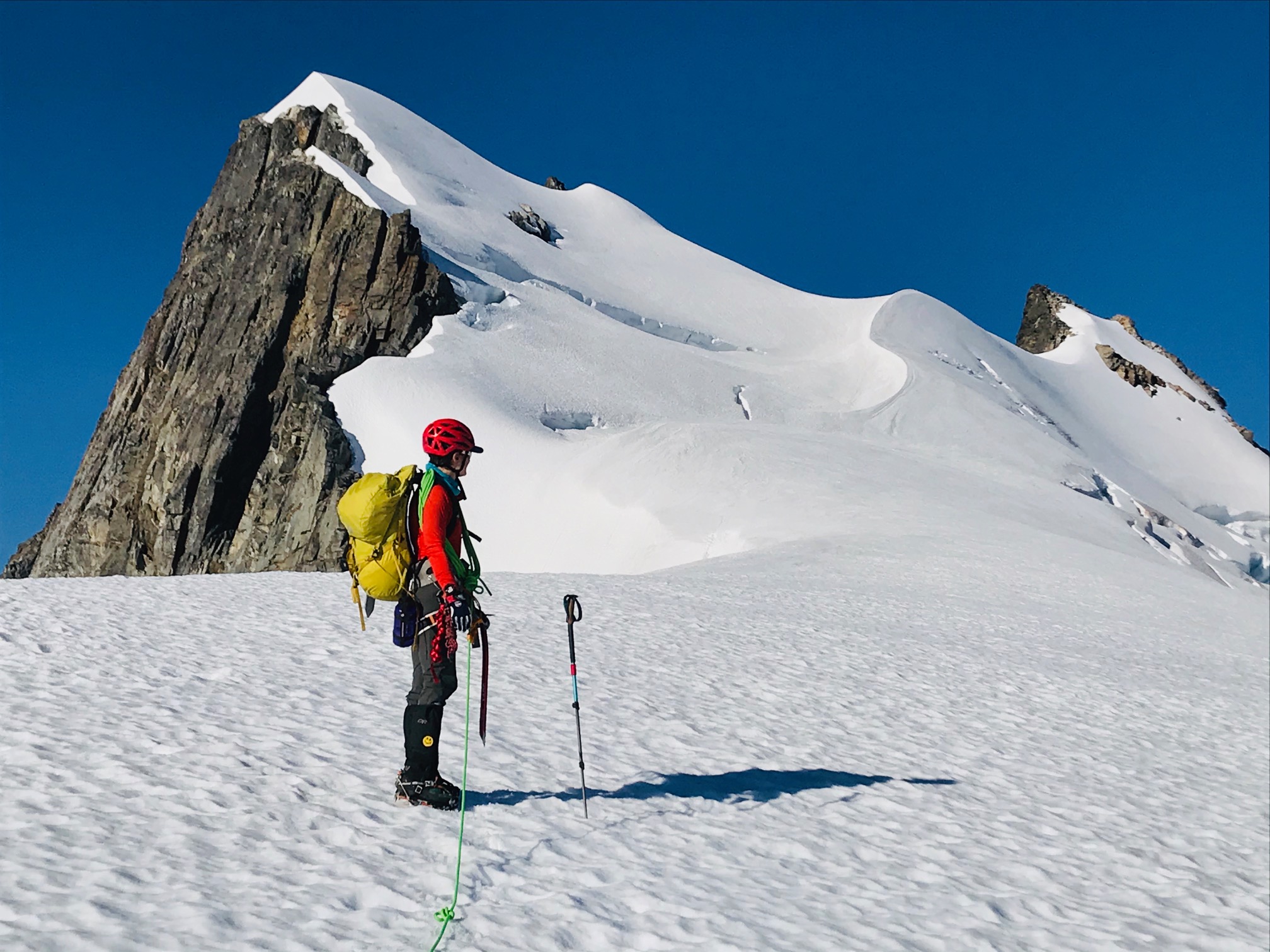
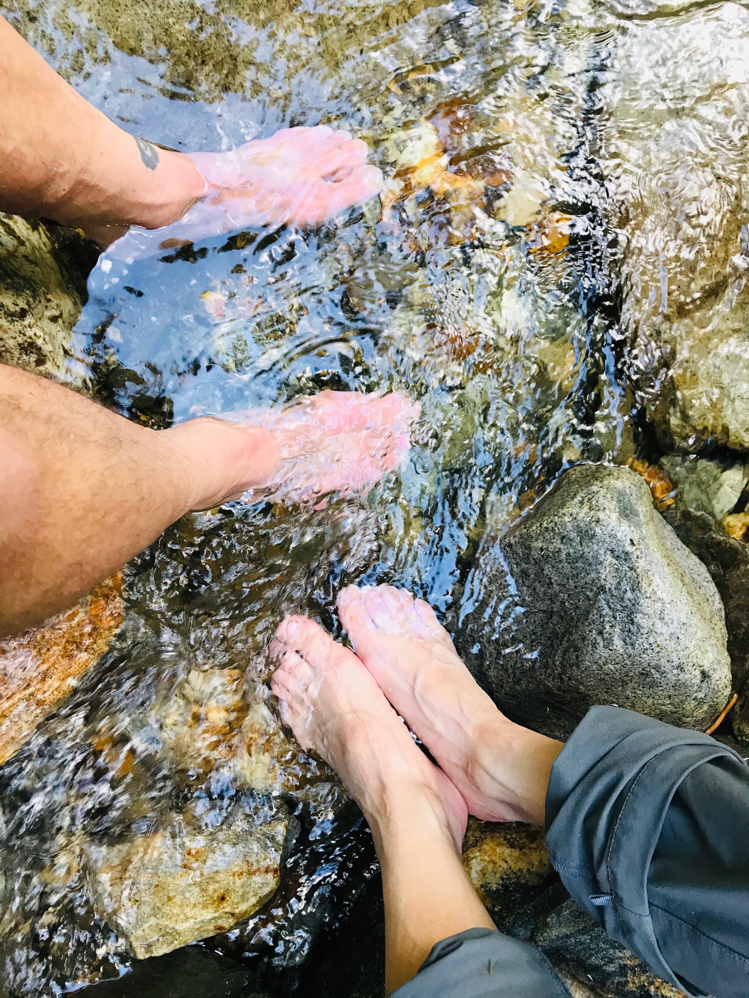
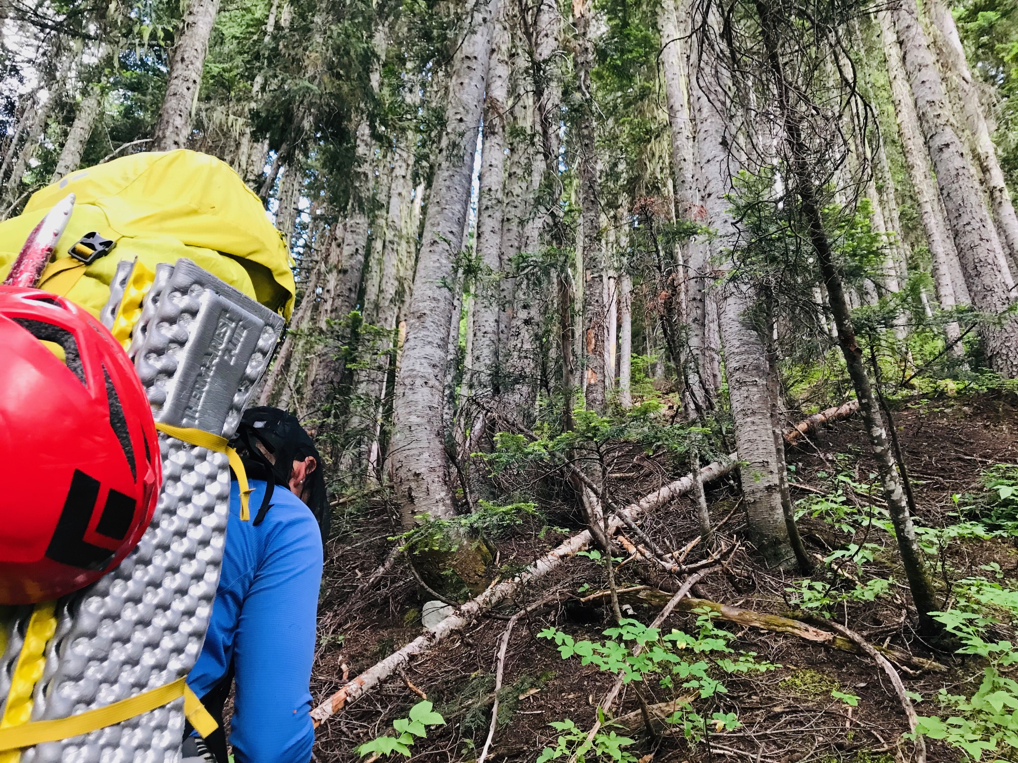
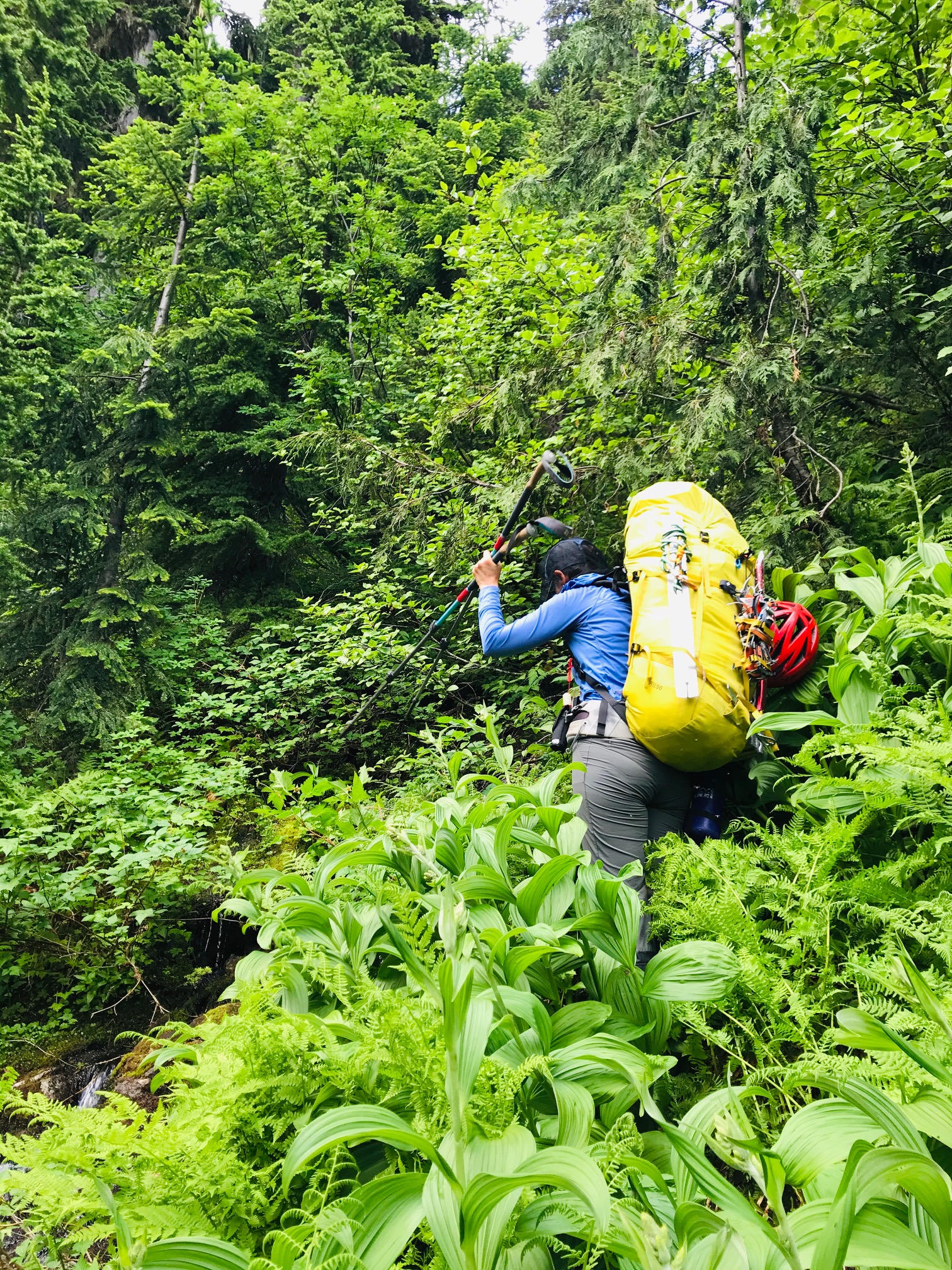
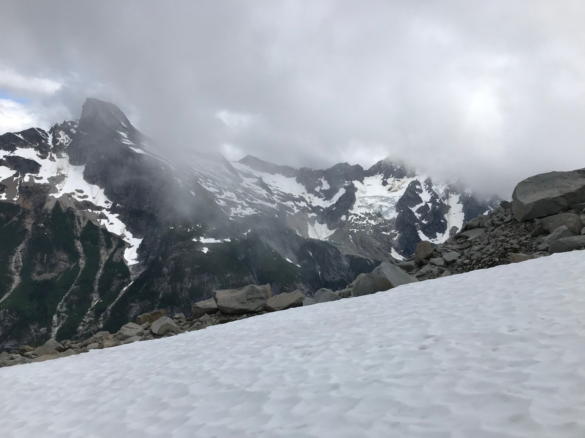
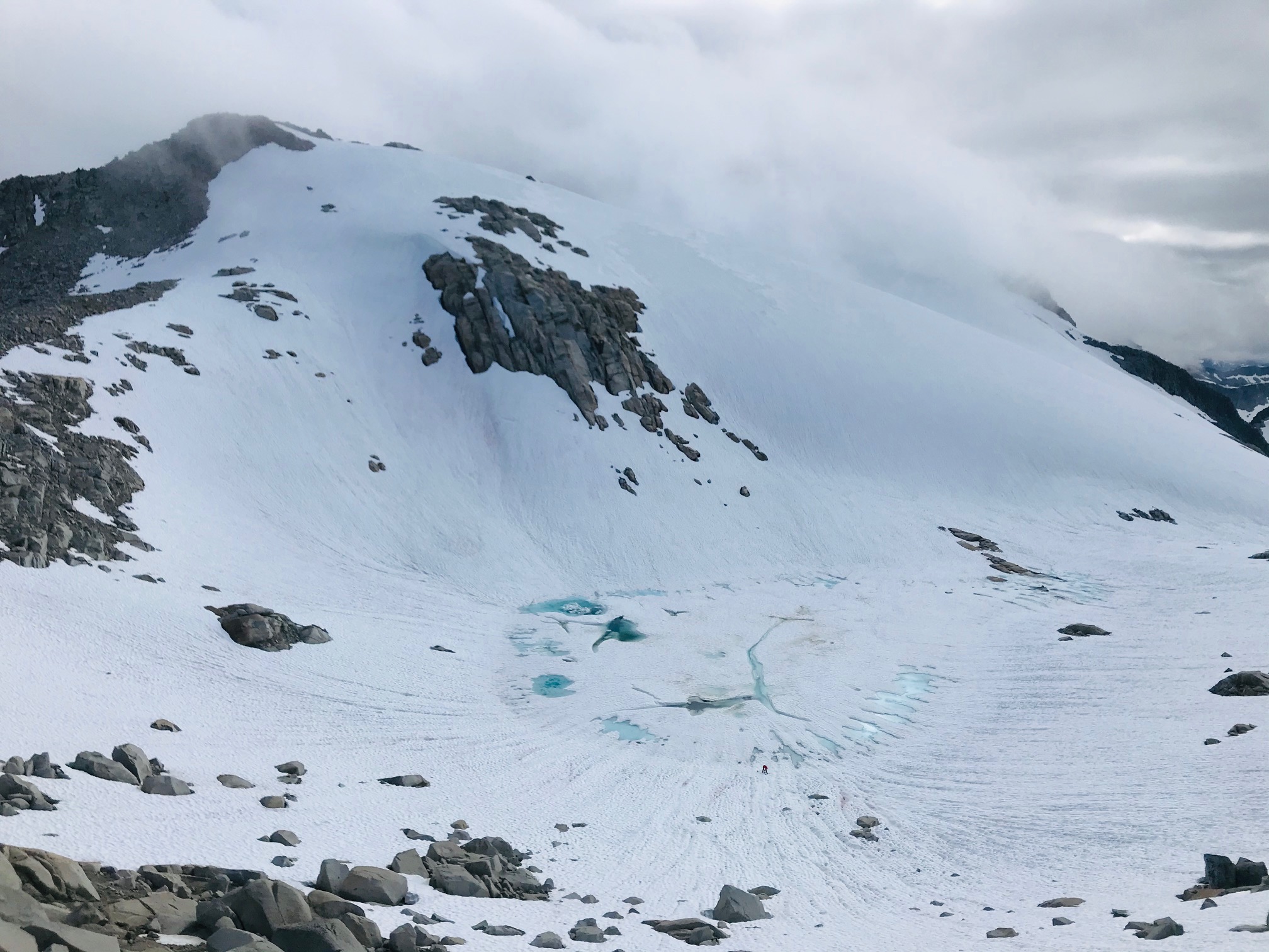
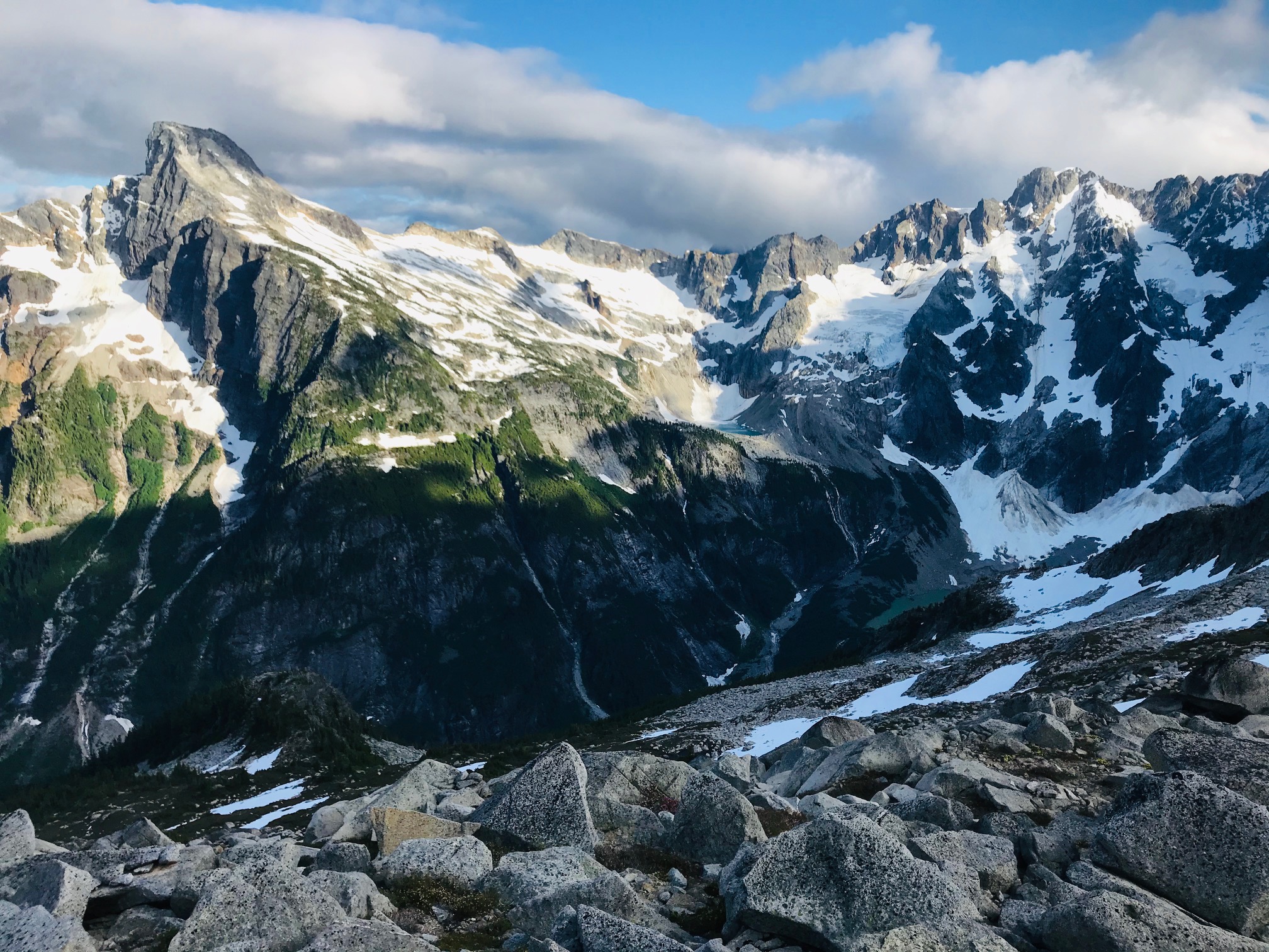
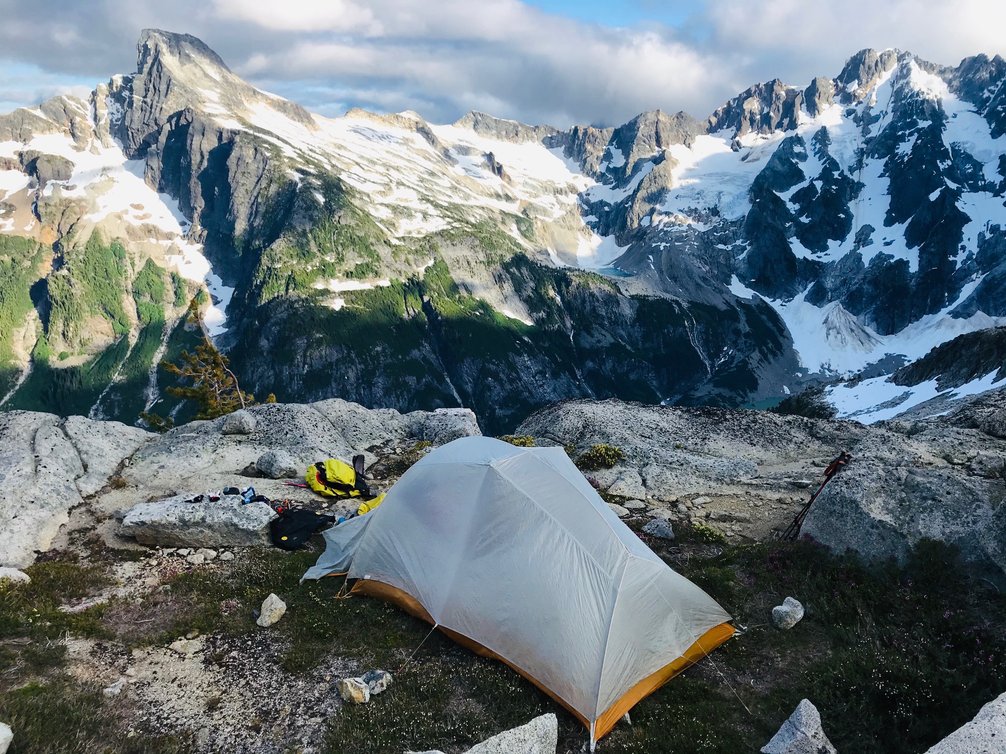
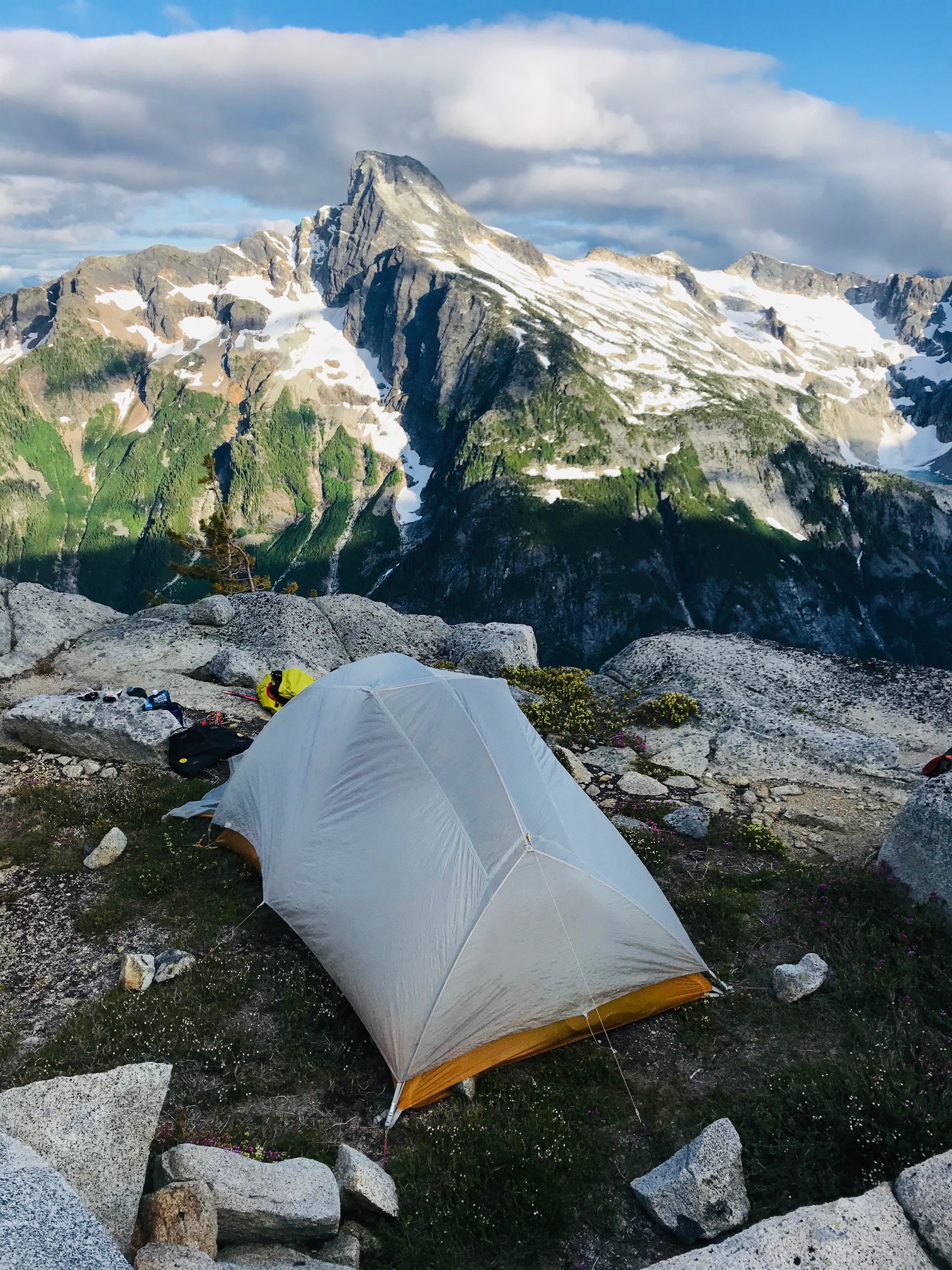
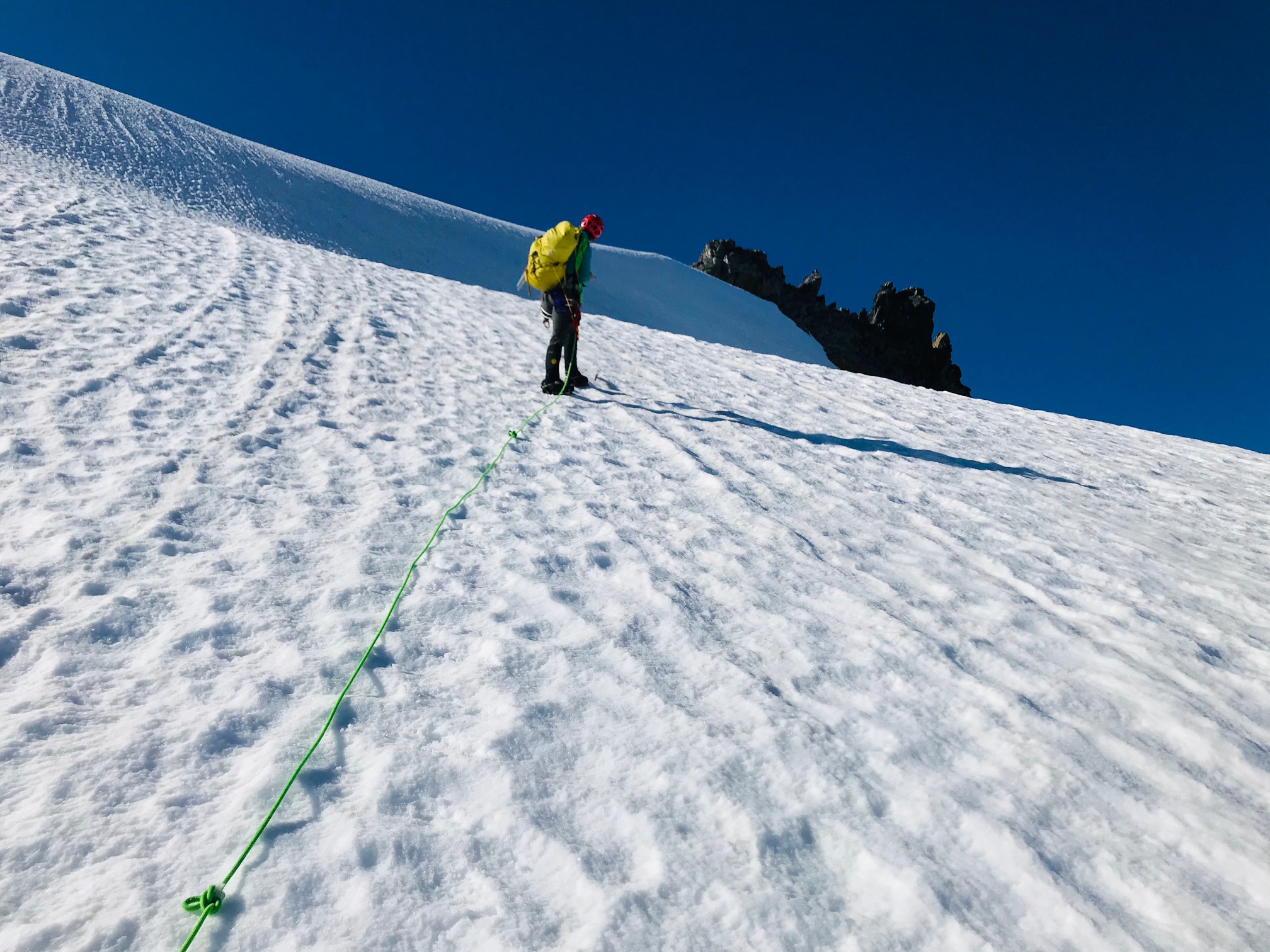
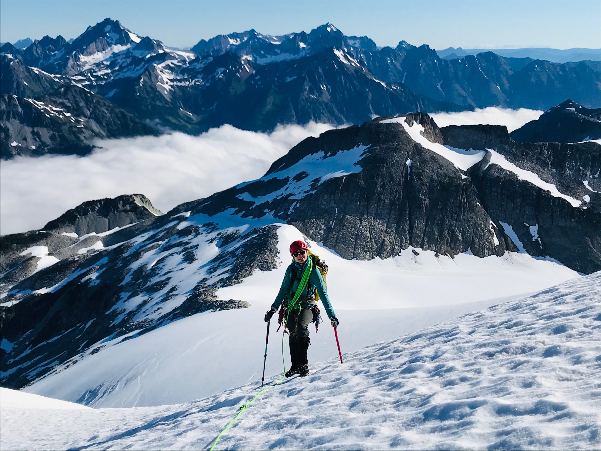
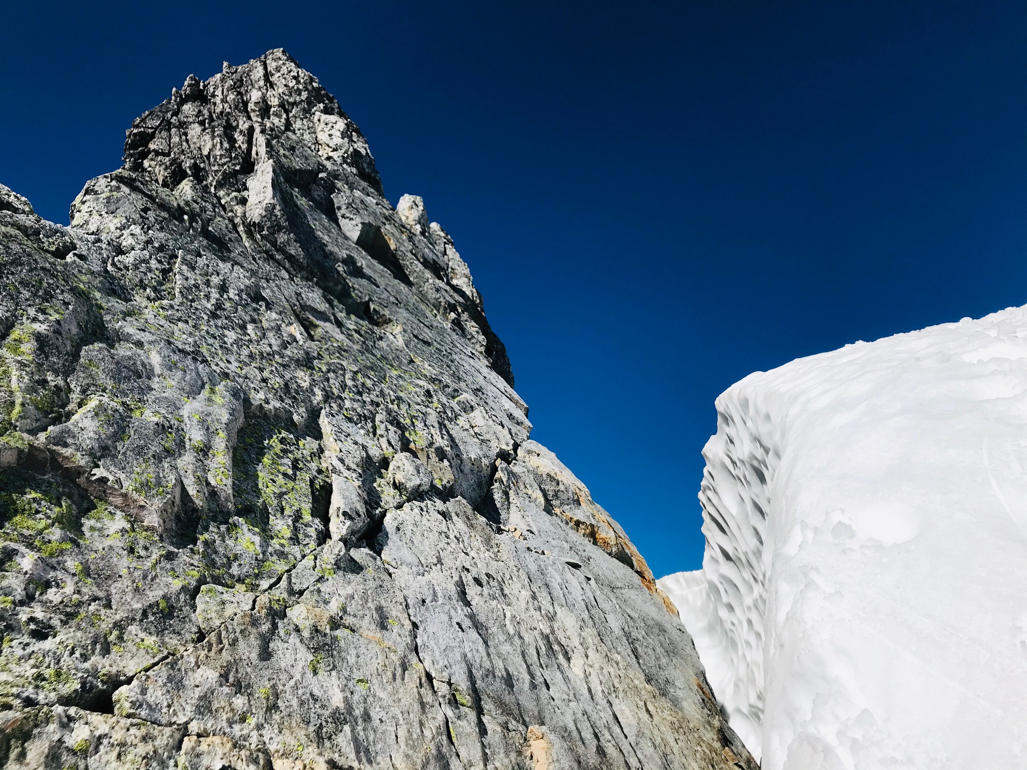
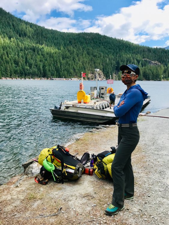
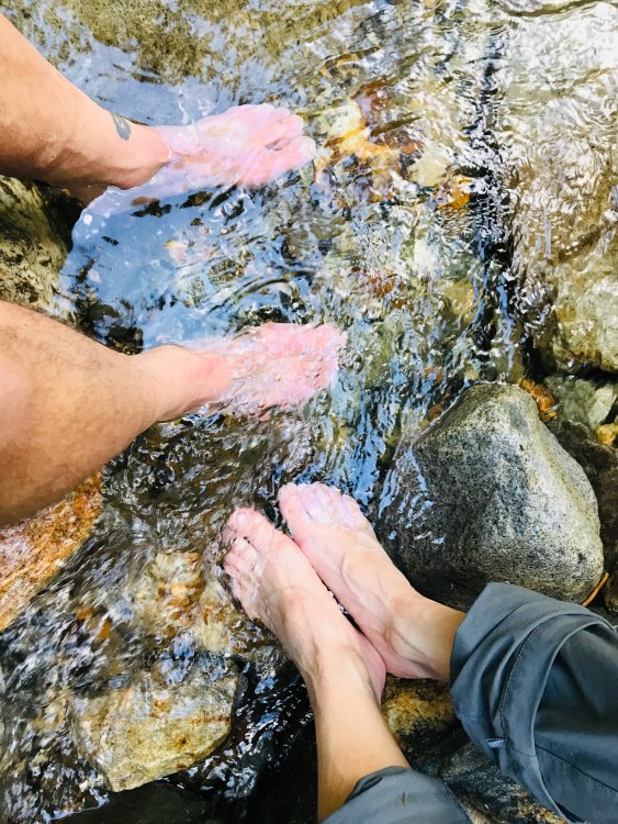
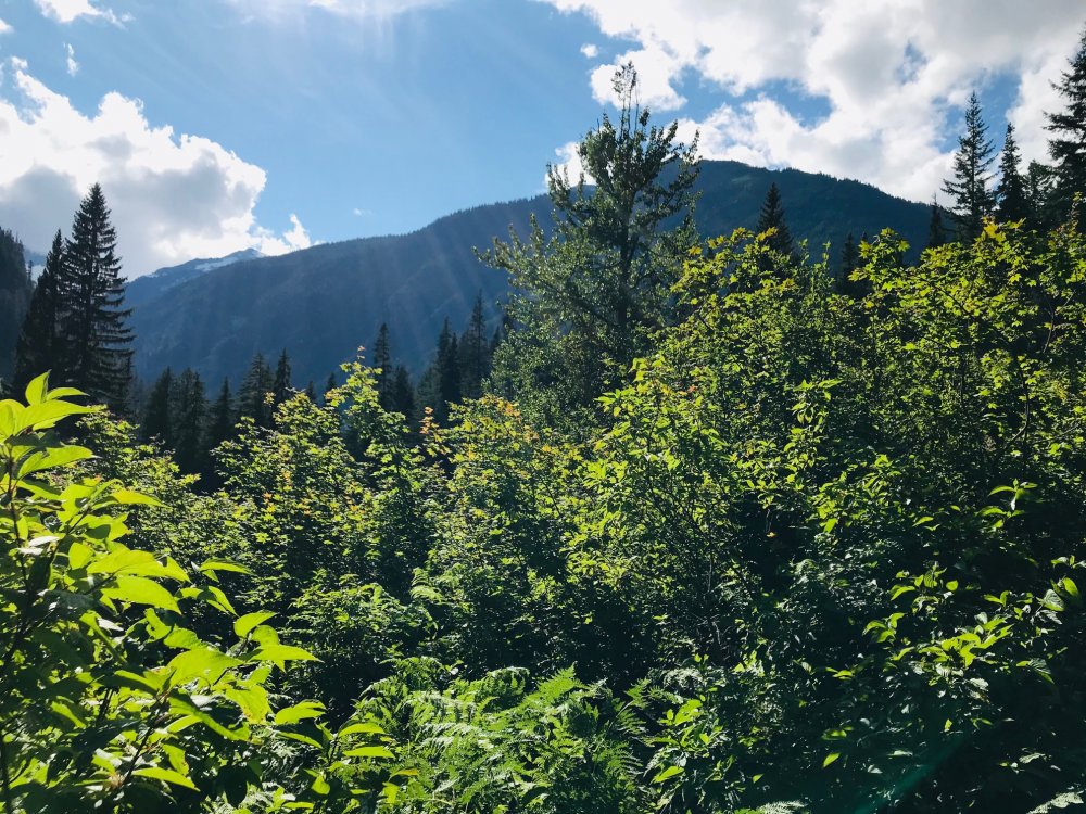
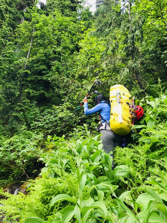
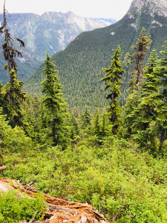
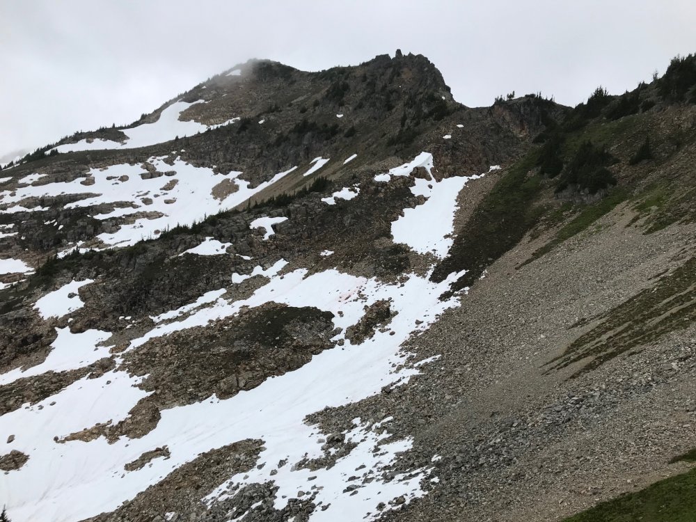
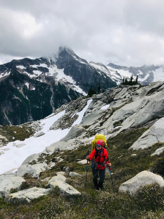
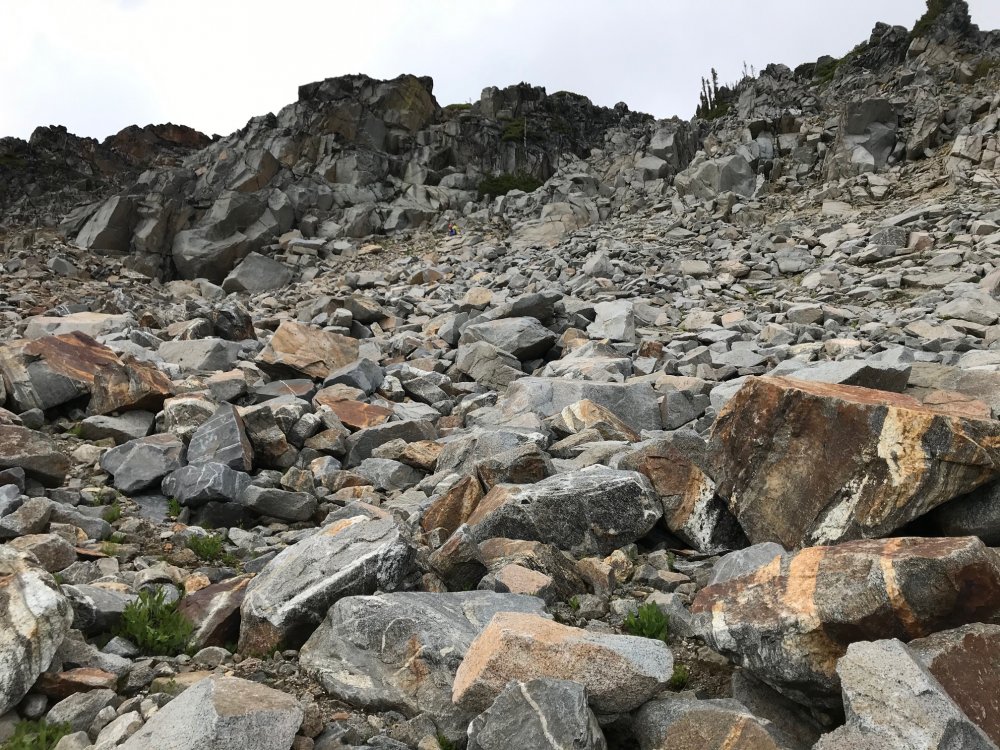
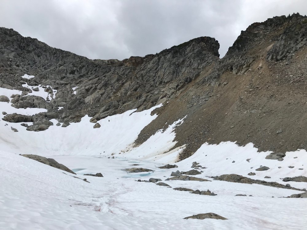
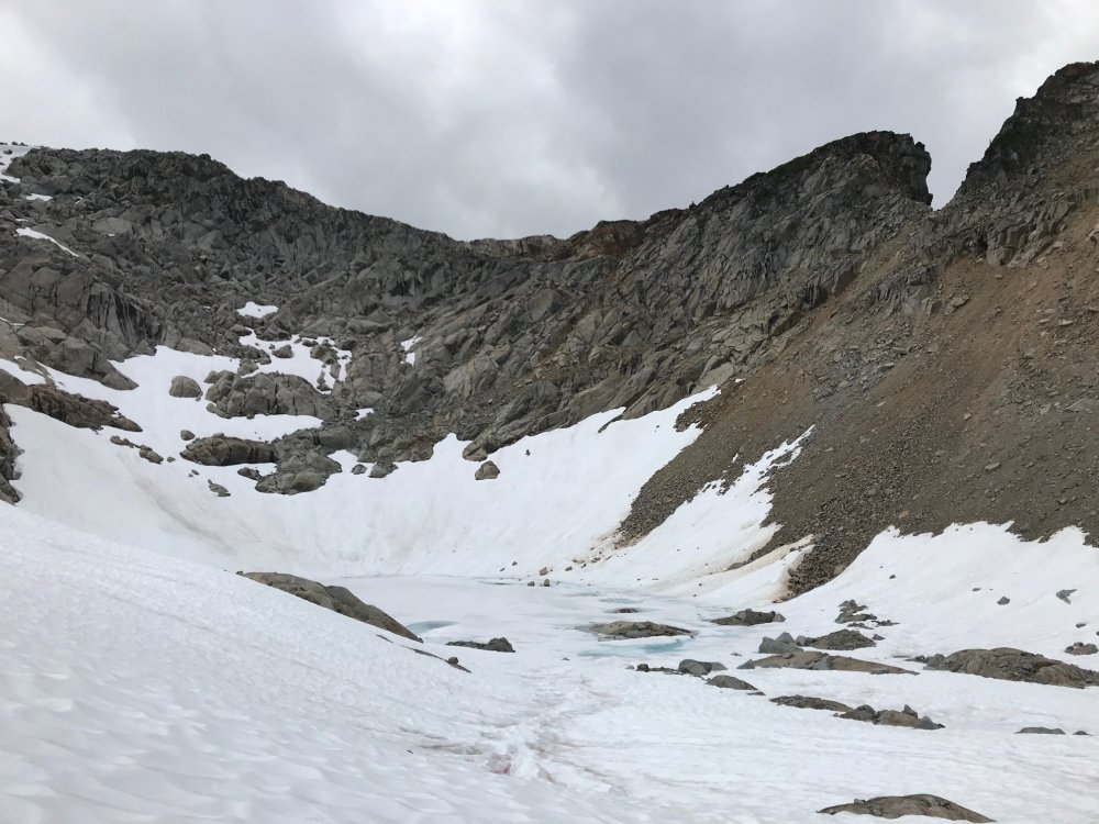
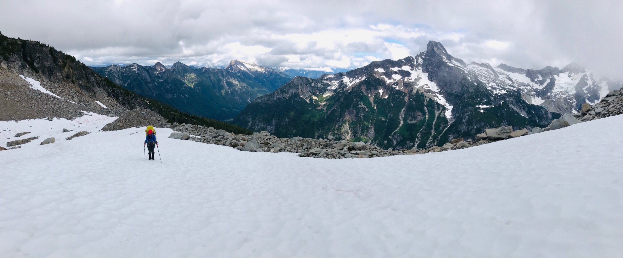
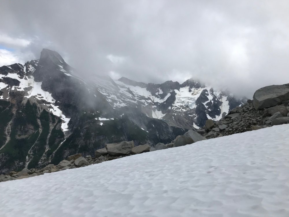
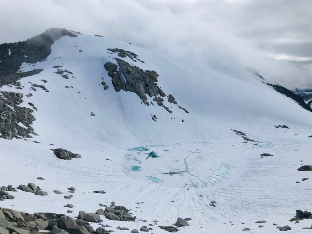
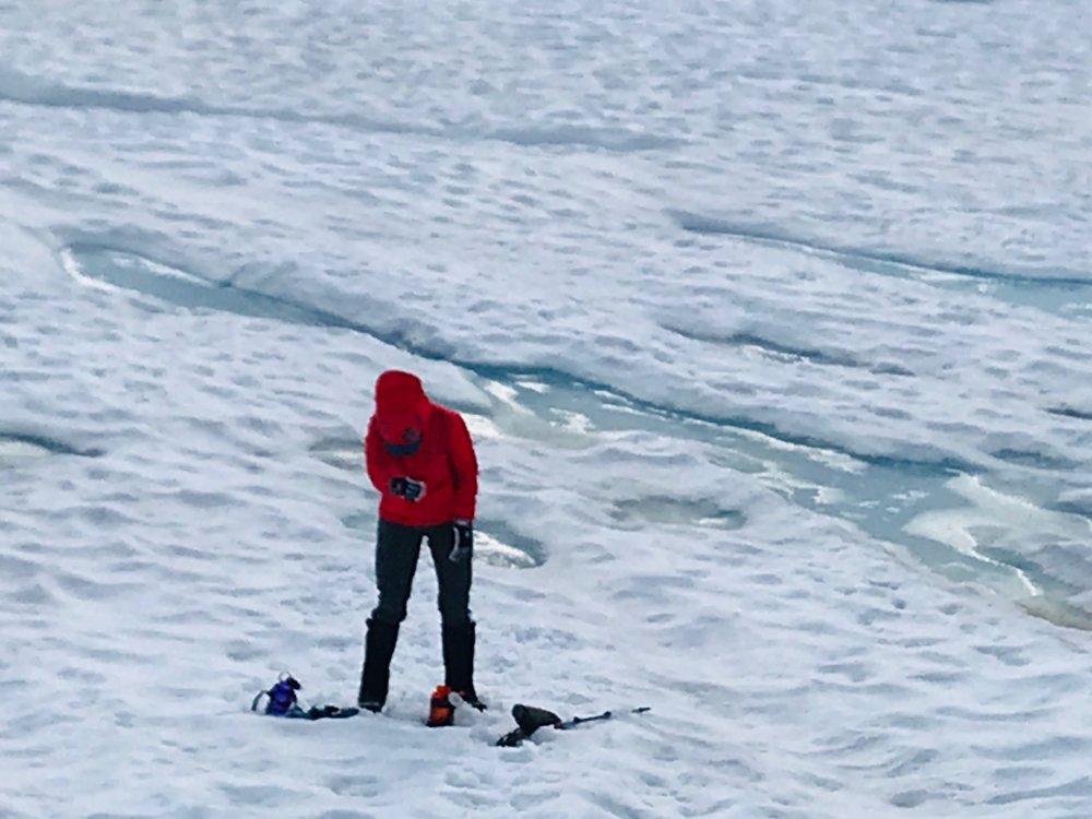
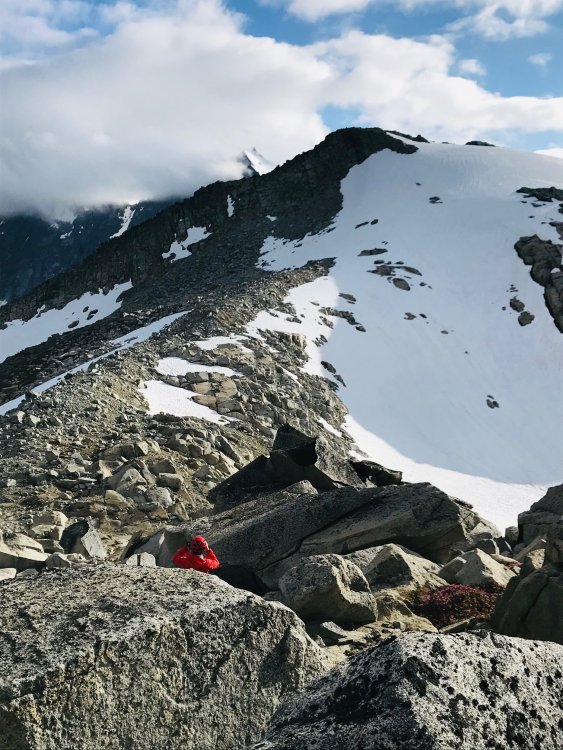
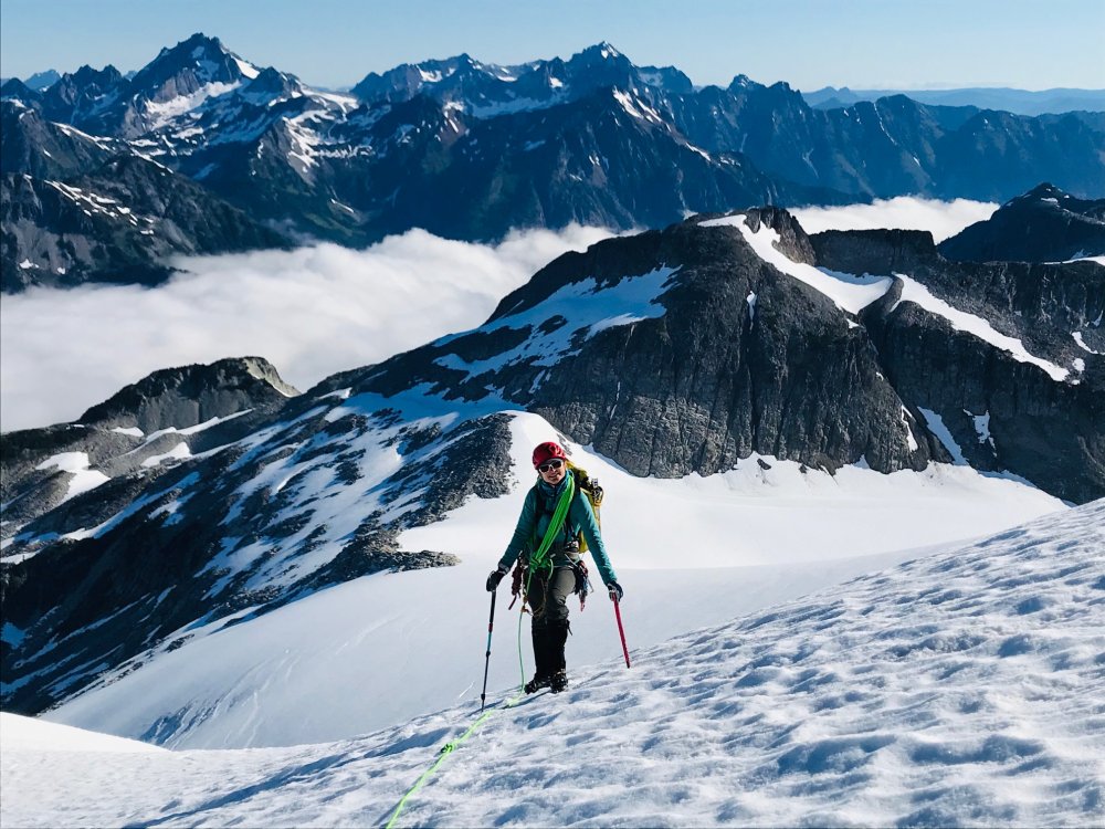
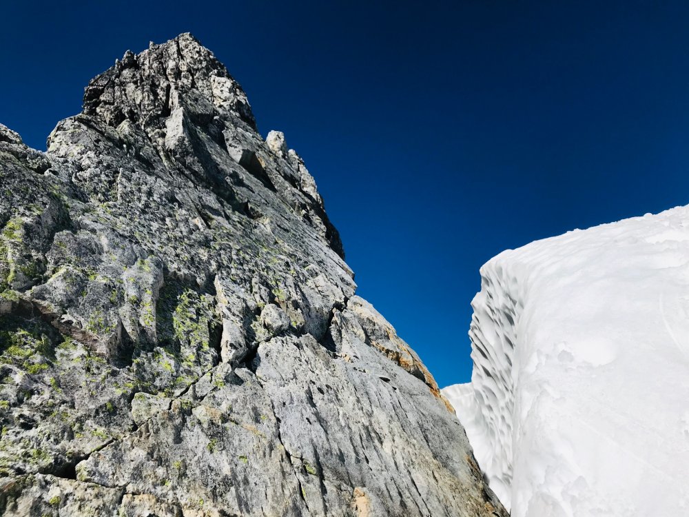
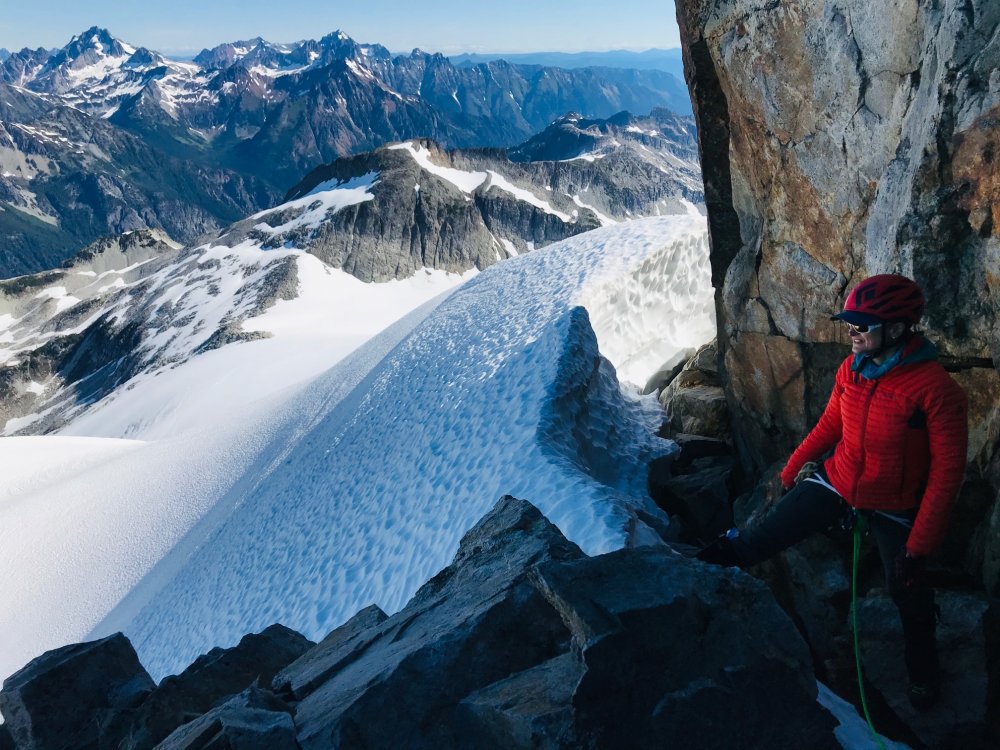
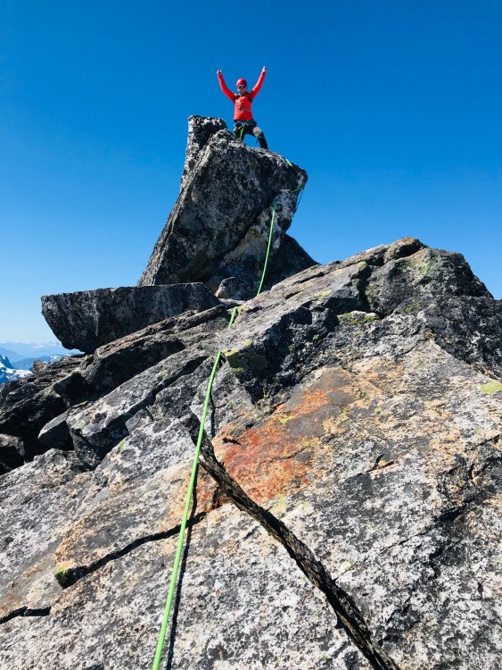
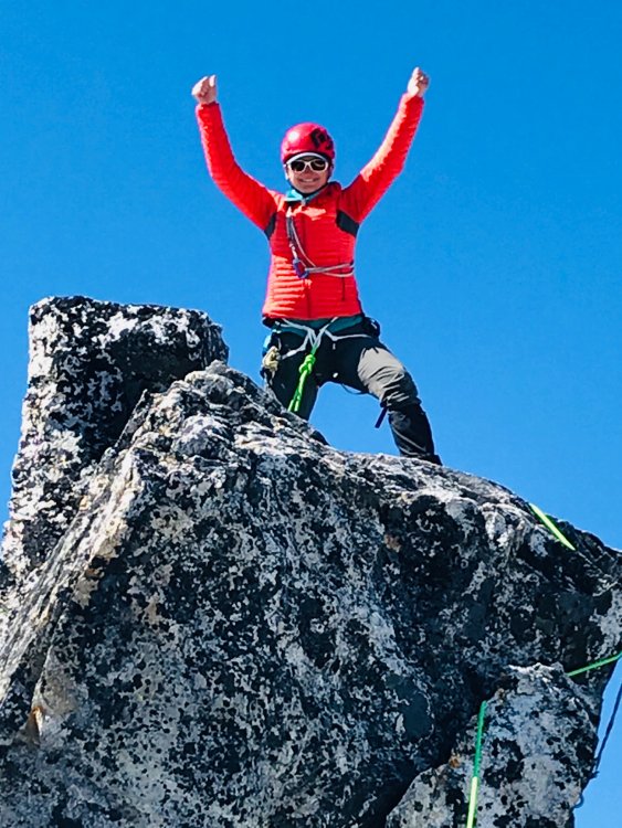
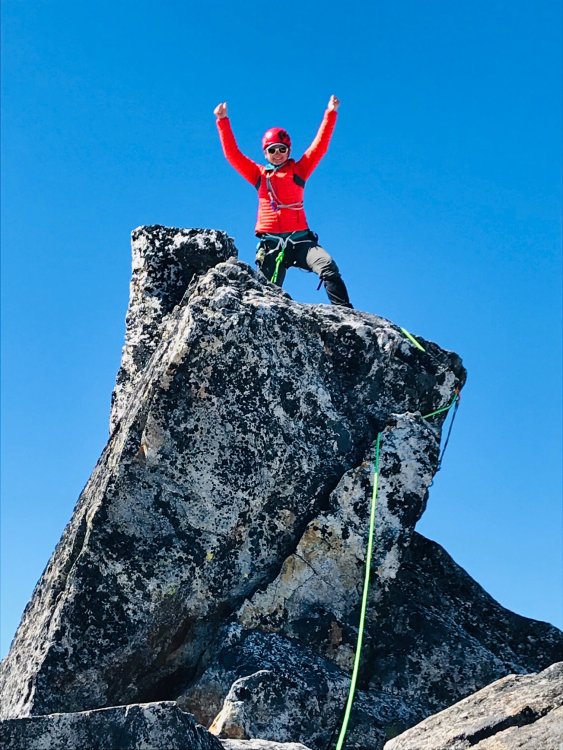
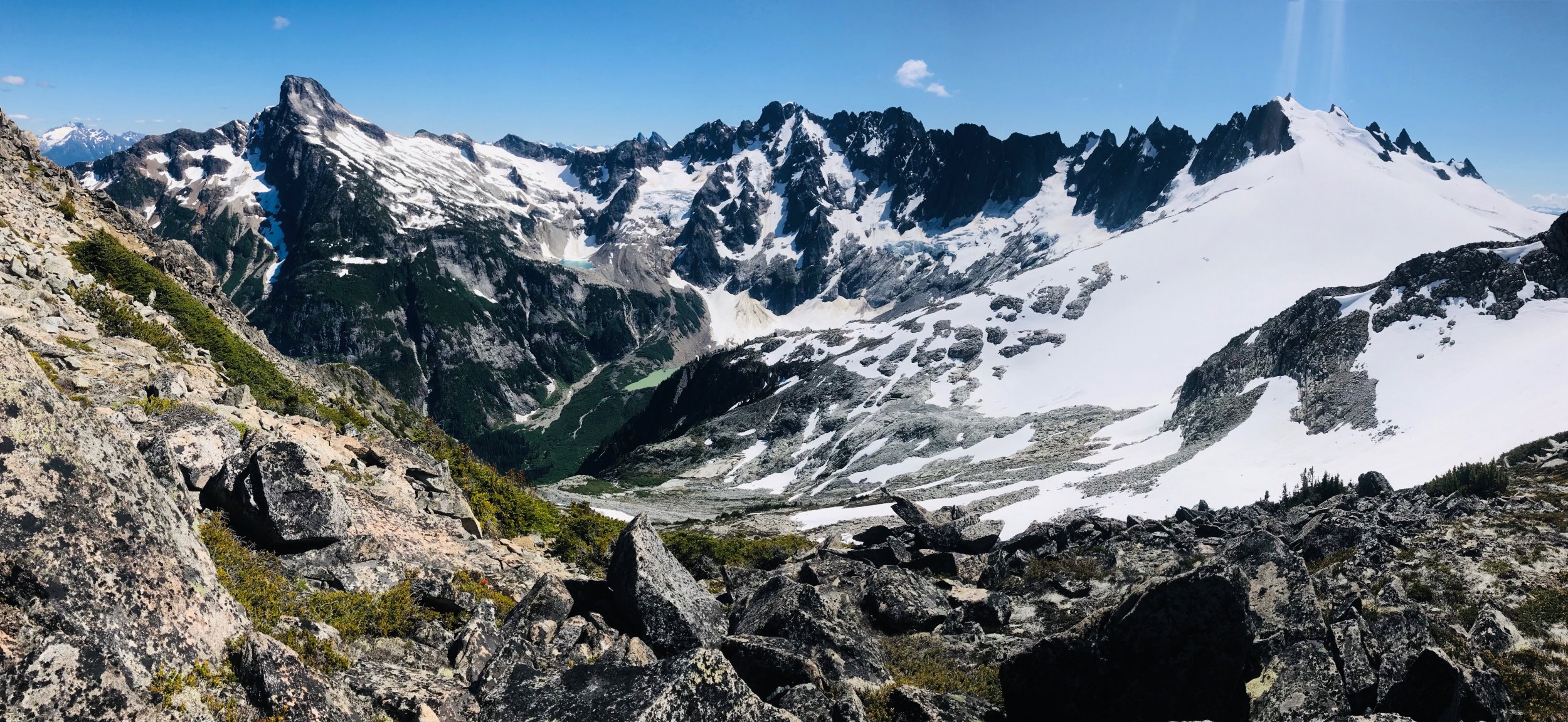
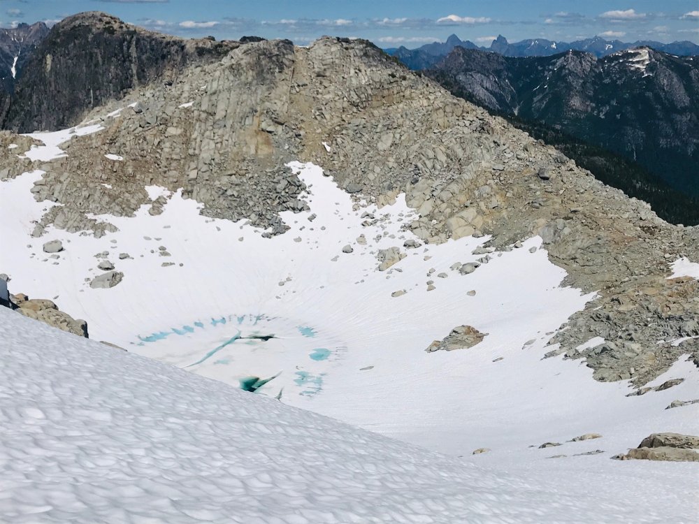
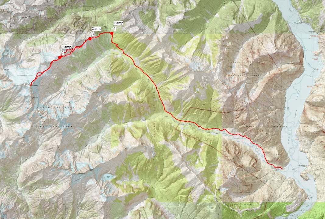
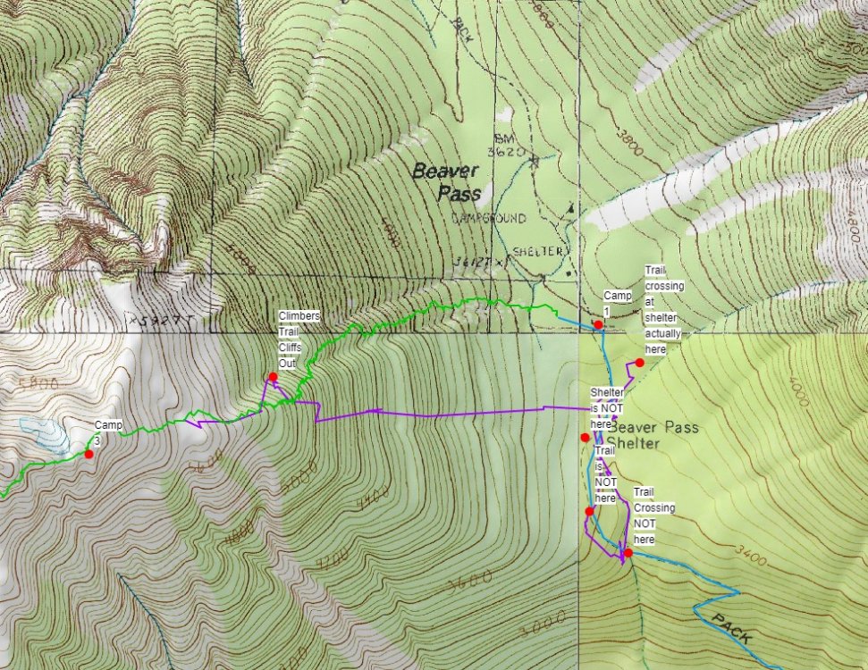
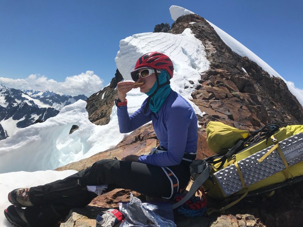
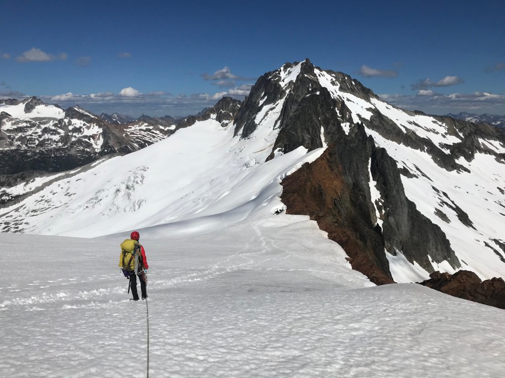
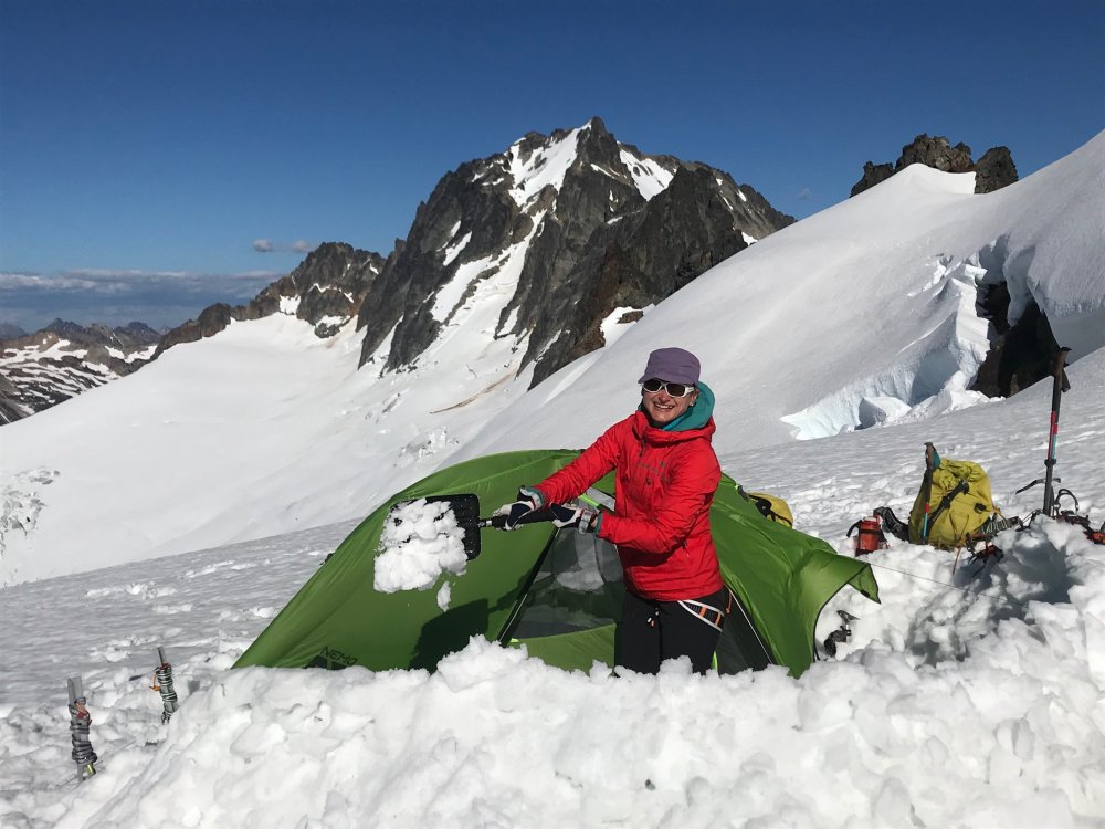
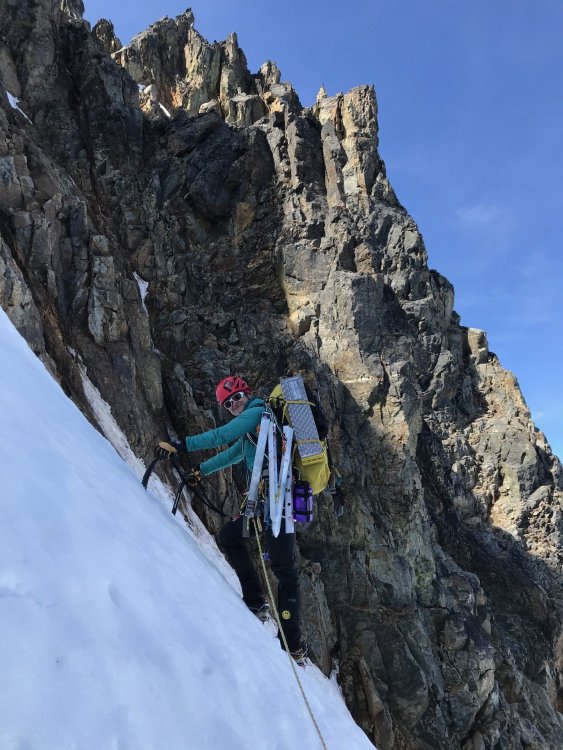
Trip: Mount Challenger - via Eiley Wiley Ridge Trip Date: 07/25/2020 Trip Report: YouTube Video (so the video does have a couple clips out of sequence in the rock climb section and it ended abruptly due to all the GoPro batteries and chargers having run dry at the last clip). Hot off the NF of Buckner and barely recovered we had a weather window for Mount Challenger but only for a 4-day trip. Our full Pickets traverse we have had planned the last couple seasons keeps either getting weathered out or life gets in the way. So, to do it in 4 days we planned on doing it from the Big Beaver trailhead with a boat shuttle then via the Eiley Wiley Ridge knowing that this was also going to be the harder approach option. Day 1 - Thursday Got to the Marblemount ranger station at 6:30am to get permits which was good timing, the crowds showed up shortly after. Picked up the boat shuttle which dropped us off at the Big Beaver trailhead saving an extra 7-mile walk from the Ross Lake parking lot. From there an uneventful 13 mile and 3000ft gain hike to the Big Beaver campground. In bed around 8pm for an early start. Day 2 – Friday This was going to be the hard day. Up around 3:30am and a leisurely 5am start. We knew from beta to expect some awful bushwhacking to gain the ridge. While we did pickup the odd climbers trail in key places throughout the trip where anyone who goes through the ridge seems to funnel through the same few spots there always peter out shortly and you are left to your own navigation for 95% of the ridge. So, we started out full-on dense brush bushwhacking from camp and I think we picked more or less a fairly good line. But as you get higher there seems to be no way around hand over fist veggie belay climbing and bushwhacking through about 500ft worth of the 2000ft gain. Its all steep and virtually no sign of any climbers’ trails till you hit the very top. That took about 2+ hours and our clothes were full of pine needles inside and out. From there we spent another 6 hours getting across to the end of the ridge which was about 3 more miles after the 2 miles of bushwhacking. Mainly because we kept a middle line across the ridge until getting close to Eiley Lake. From there it looked like you could gain the ridge and do a high traverse over a large wide ridge. The topo map showed a relatively flat and wide ridge as well with only a single contour line and large bump. So, we gained that ridge only to find it ended in about 200ft cliff and wide chasm that was more than a few contour lines deep that did not show on the topo map. But from there looking back could spot what looked like a gulley down to the lake. That gulley was very steep, loose dirt/scree/boulders but it got us down to Eiley Lake. We blew a couple extra hours here. Had to exit that basin then took a line around another slope heading towards Wiley Lake. Once we popped over the boulder field looking down at Wiley Lake and across to the last half-mile of where we wanted to be it was getting late and very windy and the rest of the approach to our planned camp was in a whiteout so we found a small sheltered ledge in the boulder field with a great view of Luna Peak and setup camp. The weather was supposed to be clearing by late evening but had gotten worse. By the time we had camp setup and ready to turn in the clouds started lifting enough we could get some views of Mount Challenger in the distance. Day 3 – Saturday Another 3:30am wakeup call to calm weather and blue skies just as forecast. We figured we had a shot at it if the route was in. Dropped down the boulder field and up the knoll on the other side of Wiley Lake and started to decide our options for getting around Big Beaver Peak. The right-hand side was supposed to be a horrible traverse, so we ruled that out. The topo showed that a notch just to the left of the peak may be doable, but we did not want to get suckered into another cliff. Poking around the top of the knoll we spotted a heather gulley that looked like a wider and longer version of the descent gulley getting to Eldorado so we headed down that which was about 1000ft loss taking us down a large snow field and around the buttress to the base of the Challenger Arm. The route looked like a straightforward walkup, but the summit block and bergschrund are hidden from view, so we roped up and headed up. No issues all the way and the bergschrund had not started to open. Once we got close to the summit rocks there was a steep snow slope with a large moat. We had beta that showed you could scramble the first set of rocks or go around them. So, we split the difference and scrambled up a bit to clear the first part of the moat and then dropped back down into the moat and traversed around and found the base of the rock climb. The 5.7 rock climb was straight forward. We’ve read reports pegging this move at between 5.5 and 5.7. After doing it I think the rating depends on how long your arms are. Only 50ft long and 4 rusty pitons. And brought a .5 cam to backup the crux move. Past that the rap slings are a couple easy moves up and another 30-foot scramble to the summit block which we belayed and set a handline. The 40m rope was long enough for the rappel with just a few feet to spare. Easy scramble and walk back down from there then the 1000ft slog back up the gulley and back to camp. We wanted to get back down to the Big Beaver camp before dark so we took a more straight forward line back which still was a lot of mini-navigation stops and a lot of little meandering through the terrain and a bit of solid bushwhacking through the trees in a couple places. Camp is about halfway up the right side of the boulder field in the pic above of Wiley Lake. Tucked into a little ledge looking out at Luna Peak. We did not hit the ledges at the far end of the ridge till about 9pm and there was no way we wanted to navigate the descent in the dark. So, we pitched camp on a snow patch at the ledges. Day 4 – Sunday Another early start and picked up the bit of climbers trail at the very top of the Eiley Wiley Ridge. There were climbers trails heading both left and right here so we went right and that trail stopped in about 40 feet. We then checked the left trail and figured we had found something that we missed on the way up. It probably descended a couple hundred feet as it got fainter and fainter till it stopped at a cliff. And then began the hand over fist veggie belay bushwhacking and tree climbing again. Having to move back left, up 100ft over a rock band, more bushwhacking and side hilling for maybe a tenth of a mile. Eventually we were able to start moving back down and found lines that keep us more or less moving straight back towards the Big Beaver camp doing our best to navigate around fields of devils club. Still took just as long to descend as it did to go up. Once down took some navigation and finally realizing that the GPS was not matching up with what was on the topo map. Turns out the GPS was putting us accurately on the map but the trail and shelter locations on the topo maps are not correct. Our GPS was showing us on one side of the trail then the other in multiple places we checked where we took long hikes in both directions crisscrossing where the trail was on the map. We finally gave up trying to pinpoint the trail by GPS and topo and found the large stream we knew intersected the trail and passed by the Big Beaver camp and followed the stream back uphill. Turned out the GPS and topo had us going in the opposite direction. So, word of caution, have your navigation skills through dense brush where you cannot see any reference points down and you can only see 50 feet in any direction. The 2nd topo screenshot below shows where we were looking for the trail and stream crossing and where they are actually located. Once we got back to the Big Beaver Camp, we had to calculate how fast we had to move to make the boat pickup. So, for 13 miles out with short water/snack breaks we had to do about a 3mph pace with the heat going up to at least 80 to make the boat. At one-point Rodica thought she was hallucinating seeing things jumping all over the trail. I looked down and at first glance though we were standing in a swarm of spiders. Looking closer the trail for about 100ft was full of tiny frogs jumping all over the place. We made it at 3pm on the dot in 5 hours. Thankfully, the boat was about a half hour late so we could soak in the lake for a while. With all the camera and phone batteries dead by Day 4 didn't have any more pics or video. It was just a mad dash to the finish line. Overall, some of the most rugged, remote, and scenic wilderness we have been though. Awesome trip at times brutal and almost demoralizing gaining and descending the Eiley Wiley Ridge (and we had a high bar already for horrid bushwhacking). Even with a lot of preplanning, gathering beta on the ridge and getting some tracks from others it was a lot of navigation work and on-the-fly decision making doing the ridge approach. ~11,000ft gain and 46 miles over 4 days. Gear Notes: 4 alpine draws, .5 cam, 40m rope, basic glacier gear Approach Notes: The climb itself was easy. The bulk of the work and trip report are on the Eiley Wiley Ridge approach.


 3 points
 -
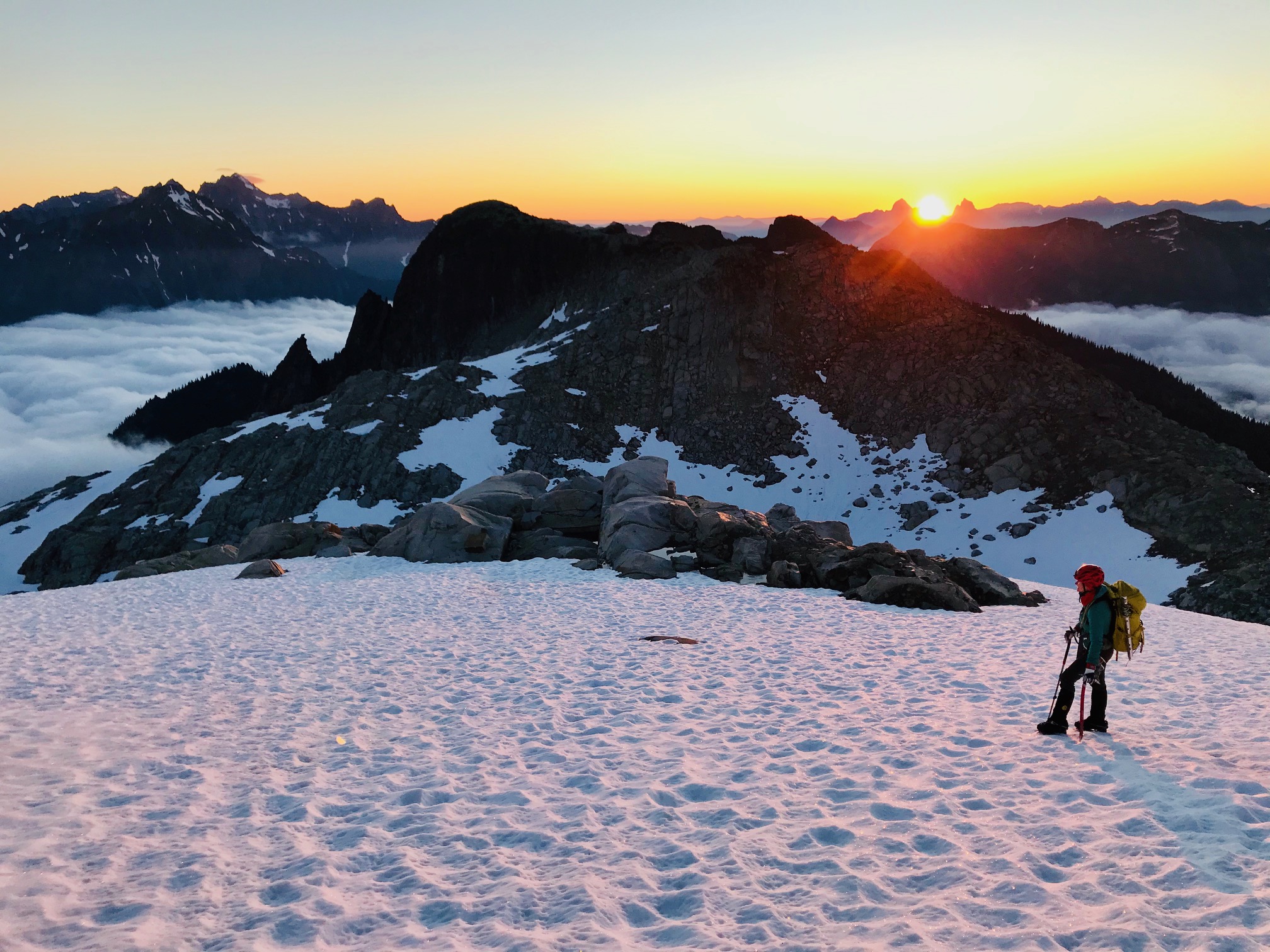
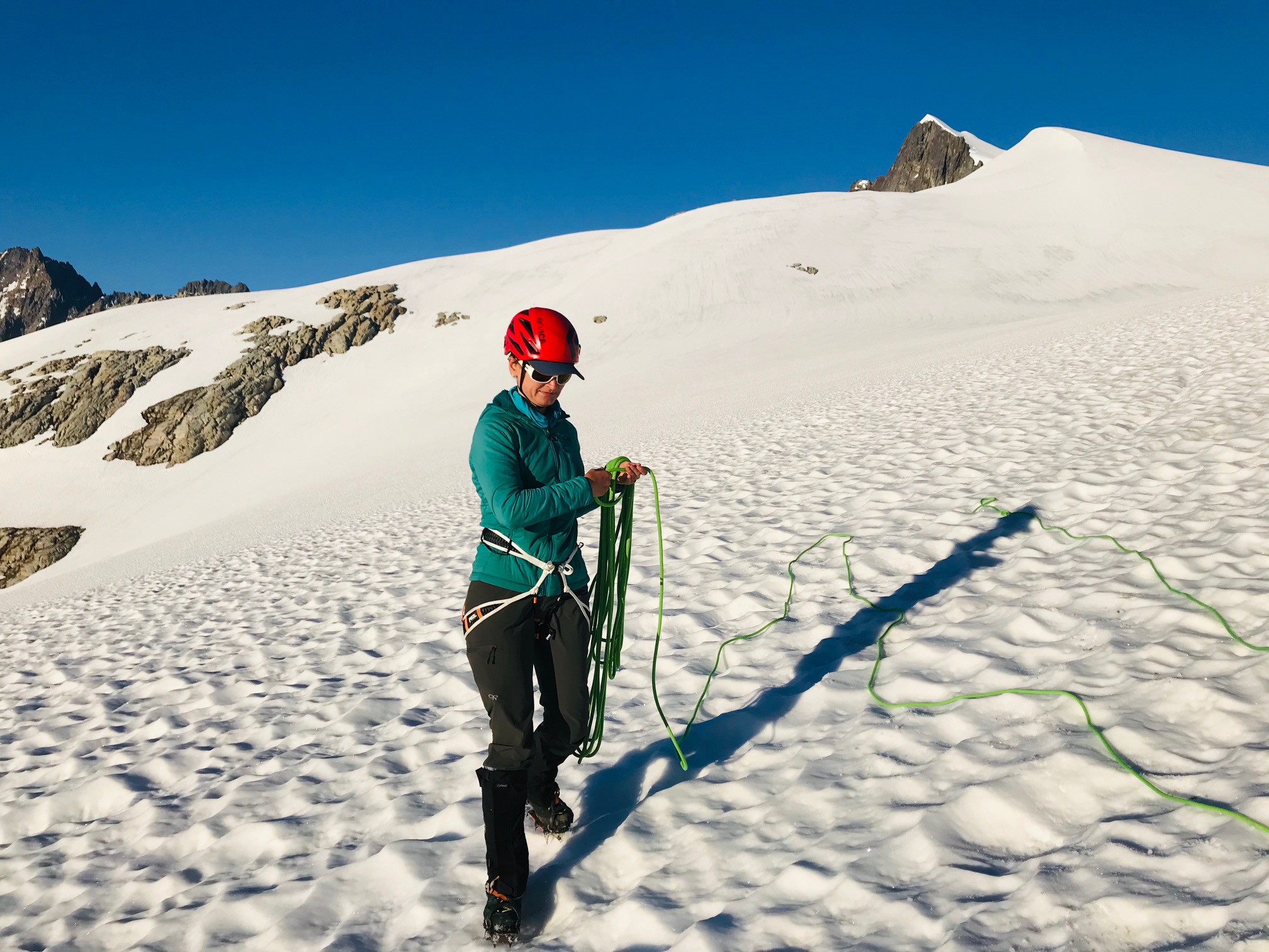
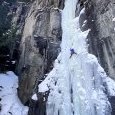
Trip: Mt Baker - North Ridge Trip Date: 07/18/2020 Trip Report: From a week ago. TR with nice formatting lives here (still figuring out how to get copy-paste to play nice without reuploading all the photos): https://www.natexploring.com/tripreports/north-ridge-baker-tr Longest approach for a single pitch of ice I’ve done in a while Bare Bones Route: WI3- Ice, Snow, Alpine, 3000 ft, Grade III* Ascent via North Ridge. Ski down the Coleman-Deming Length: Two days with an overnight at Black Buttes to catch that alpenglow and sleep Dates: July 18-19, 2020 Climbing Gear Here’s my regular PSA that just because someone on the internet used a certain rack (or lack thereof) does not mean it’s the right rack for you. Grivel G20 Plus Crampons monopoints (cause I’m too lazy to switch em out) 2x Carbon Tech Machine 5x screws ranging from 13-17cm (with 1 token stubby) 5 draws; 2x double-lengths Beal Joker 9.1mm 60m dry-treated rope 1 picket (not used, classic) The Details We took a leisurely time approaching from Heliotrope trailhead and heading up to Black Buttes Camp. It was my first time on Baker since I did a mountaineering course when I was 15 (shout-out to Lakeside School for putting on the best outdoor trips). So instead of a typical c2c, I wanted some extra time to get acquainted with the mountain, routes, crevasse fields, and savor the sunset alpenglow of course. Small humans, big packs We made high camp with plenty of time to spare to do a few crevasse rescue refreshers, drink tea, eat ramen and relax. We brought two tents and a bivy bag for the 3 of us (guess who had the bivy bag and was envious of the other two…). Views were incredible and weather window was ideal. We had no wind, sun and just slightly below temps overnight to firm the snow up. We went to bed around 9pm with a planned 3am wake-up. I like my sleep and if there’s no reason for a super early alpine start, I’d rather let my body rest and reconstruct itself. Layers upon layers. Classic PNW Bivy bag life I lost my blow-up sleeping pad somewhere, so for this bivy I used a foam z-rest, a Mountain Hardwear Phantom Alpine 30F sleeping bag and my down belay puffy. Stayed warm all night and even slept through a couple of the groups making noise at midnight and 1am for the Coleman-Deming ascent. 3am came. We boiled water. Downed some oatmeal and suited up for glacier travel to the tune of Rise Up (highly recommend for a morning pick-me-up) A note about route-finding: I don’t recommend camping where we did. It’s ideal for the CD route, but not for the North Ridge. We ended up descending about 900', crossing some very large crevasses to gain the route-proper. Would’ve been faster to camp lower down. Blurry alpenglow morning shots as we descended and then navigated onto the route (how I usually feel at 4am). Some pretty large crevasses to get over across the main drag Hitting the morning sun rays after some tricky crevasse meandering. Soon we were on the approach to the crux of the route (the part I was most excited for): the ice headwall. Kinda Games of Thrones-looking. We caught up to 4 other parties at this point that presumably got less sleep and were more ambitious in their alpine-starting. The easiest way up is on the left through a lower-angle section of ice, and is where the other parties were clustered in a bit of a climber traffic-jam. Not wanting to get cold and also because I was excited to get a real pitch of ice in, I took a line up to the right (to stay out of the way of the other climbers and not hit anyone with delaminating dinnerplates). It had an overhanging ice bulge that was fun to climb with skis on the back. Got my hips as far in as possible to keep my skis and pack from pulling me off. Went up and over the overhang without a hitch and the climbing was stellar. Gotta love glacier ice. Worth the thousands of feet of elevation gain and crevasse slogging. Note to self: when climbing an overhang with skis on your back, figure out a way to do a diagonal carry, because the tips kept hitting the ice anytime I so much as thought about looking down to find good feet. Live and learn. From here it was cruiser ice. I soloed another 2 pitches of low-angle ice and set anchors to keep my partners safe. Pro was meh up here, and I cursed at the picket and ended up using my tools and an ice screw for anchors where I could find solid enough ice. It’s not like this is a bad anchor, but it’s not like this snice is very good either. It held and was solid when my partners weighted the rope, I’m just used to my pure blue waterfall ice. Bringing my partners up the last two technical pitches. I was envious of Randy’s diagonal carry which would’ve made the ice climbing easier. Some more crevasse and snow slope navigation was required from the technical crux to reach the summit. Definitely a no-fall zone One of my dreams is to climb in Antarctica. This frozen tidal wave of pure power is what I anticipate that landscape to look like: minimalism at its best. Mountaineering is a lot of walking. We reached the summit uneventfully, snacked, lounged, summit selfied and FINALLY took those skis off our backs. A note about my skiing. I’m a climber who skis, not the other way around. The skiing was by far the crux of the day for me. I get tense, anxious and feel like I can’t control all the variables. But this is why you bring partners with complementary skillsets. Randy and Tyler were patient and coached me down the Roman Headwall and navigated us safely back to camp through the crevasse fields. “Can I take the bunny slope guys?” Some crazy seracs and yearly layers in the glacier pack that you can see top right. Back at camp. Quick break, pack up, ski to where the snow ends, throw the skis back on the packs and run down the trail to some beers and water. Why does the pack always feel and look bigger on the way down? It’s a mystery of the universe. Hiking back out through wildflower meadows. No mosquitoes this time around! Was that one pitch of ice worth it? Hell yeah it was. Was it worth carrying skis up and over? Yes. So much faster to get down that way. Good people, good climbing, good weather. This smile says it all Gear Notes: Grivel G20 Plus Crampons monopoints (cause I’m too lazy to switch em out) 2x Carbon Tech Machine 5x screws ranging from 13-17cm (with 1 token stubby) 5 draws; 2x double-lengths Beal Joker 9.1mm 60m dry-treated rope 1 picket (not used, classic Approach Notes: Don't do what we did and camp at high camp for the CD, cause you'll have to descend ~900' to gain the route proper across a crevassed section3 points
-
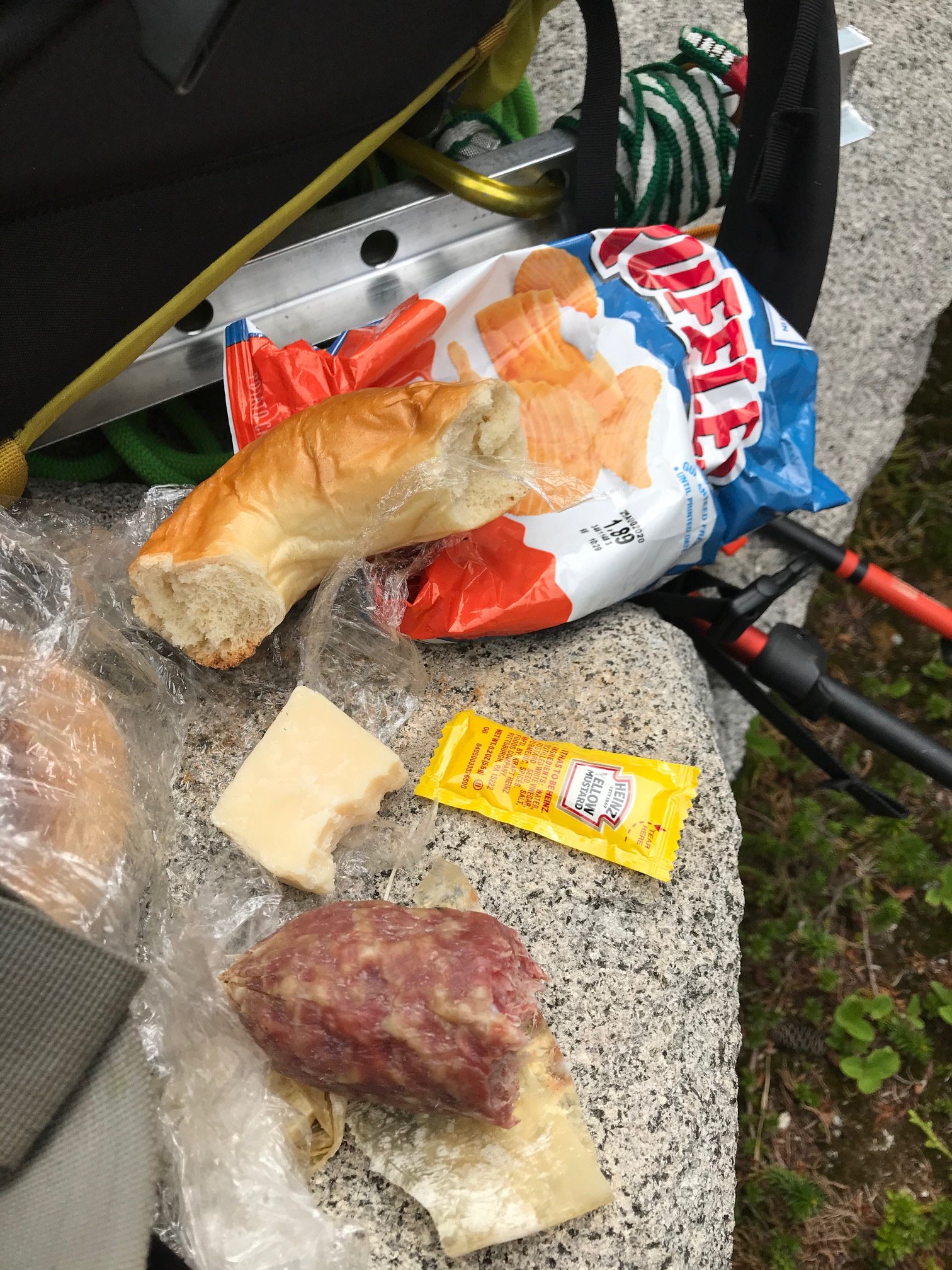
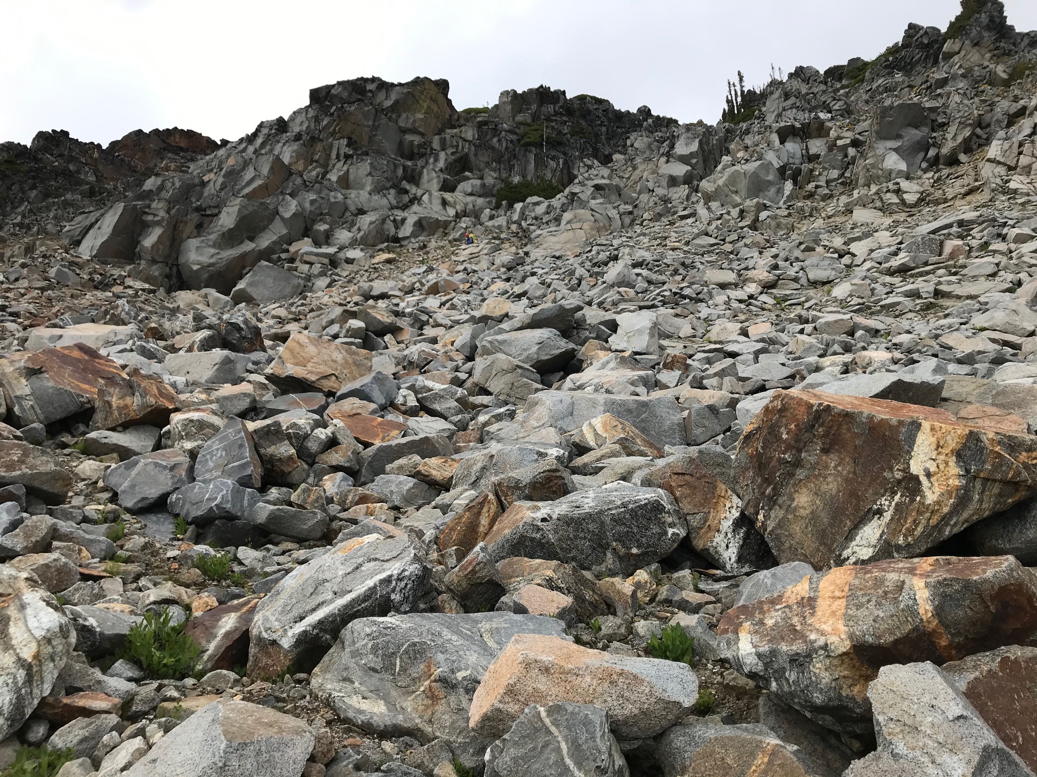
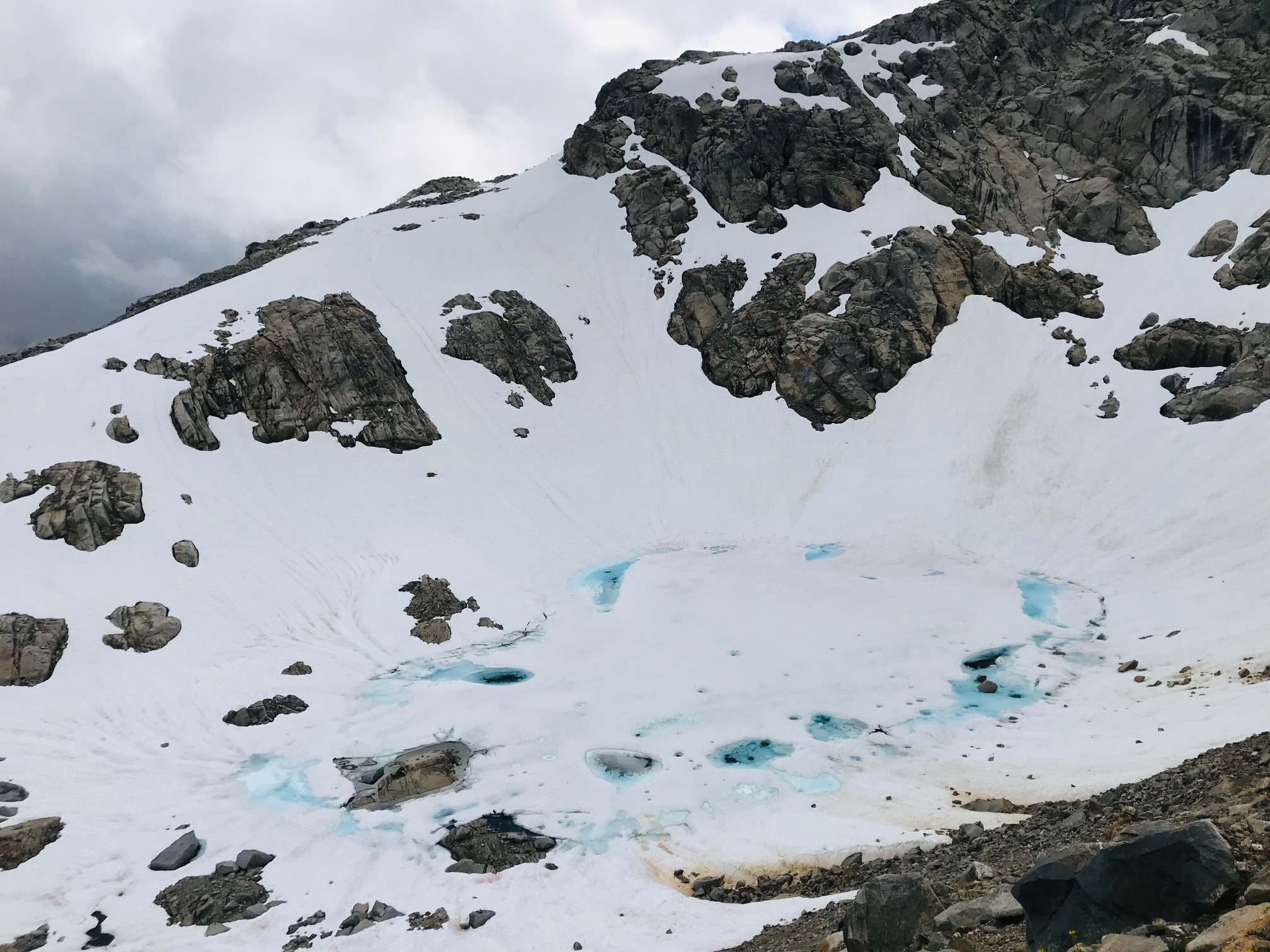
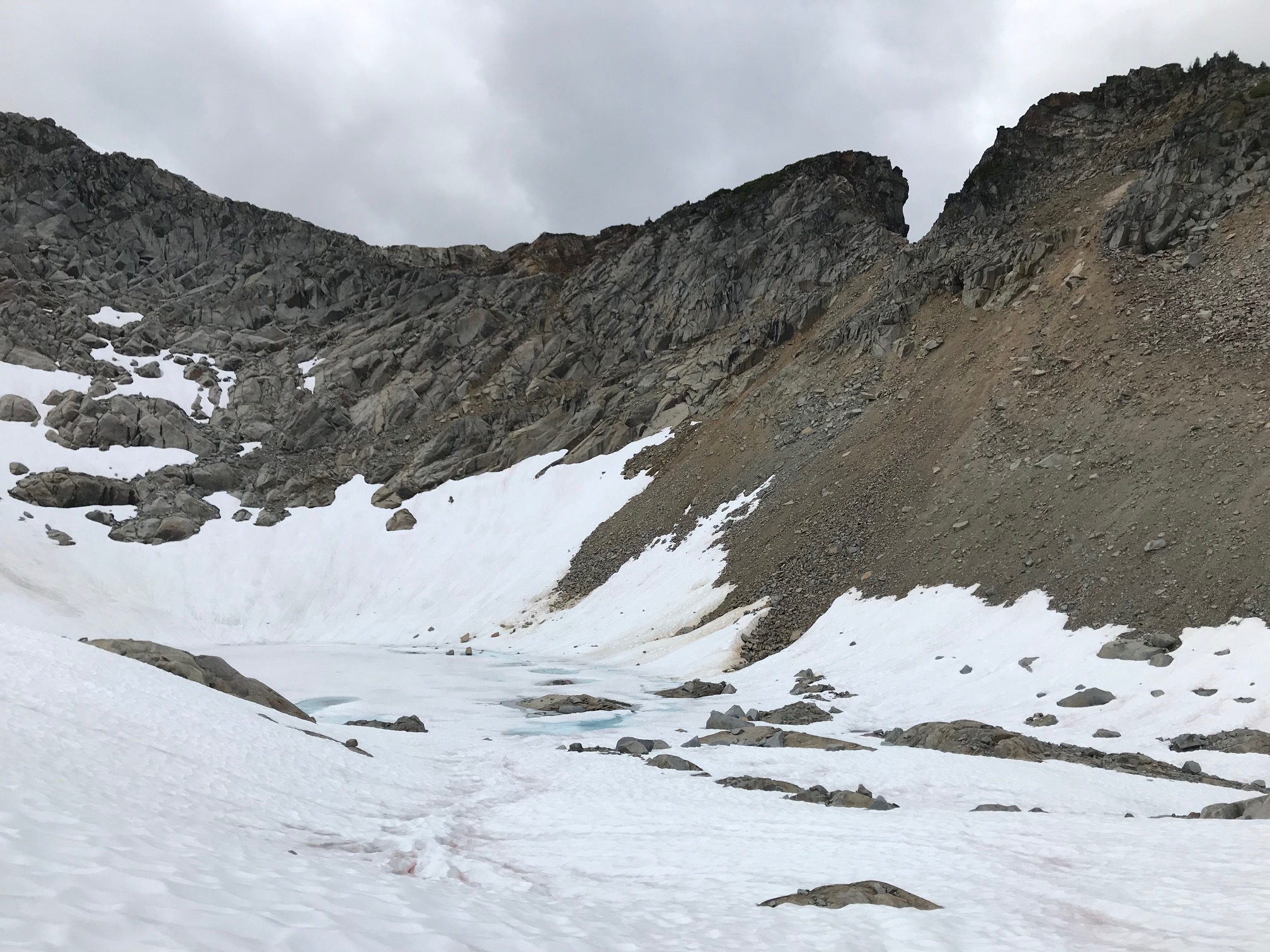
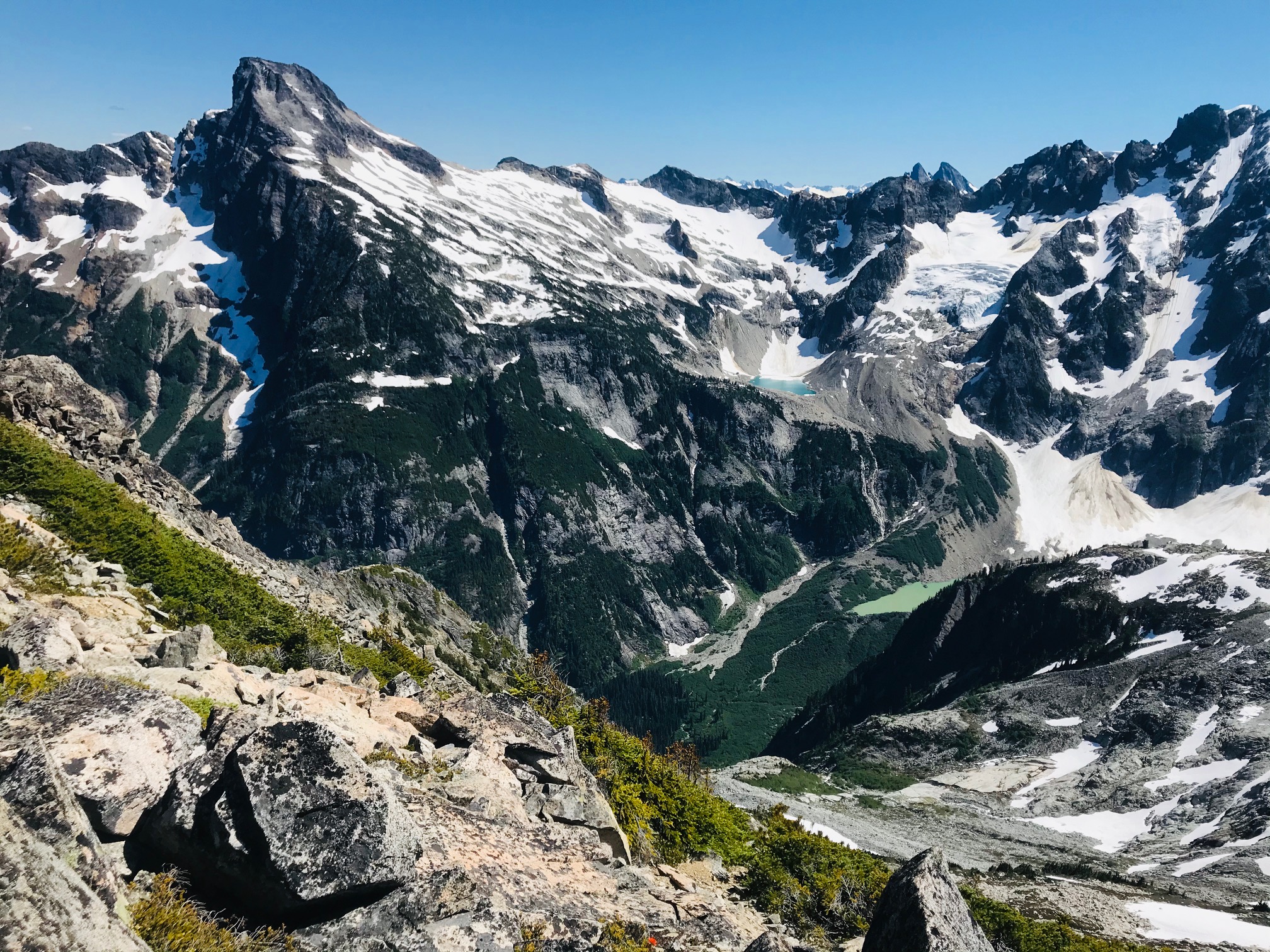
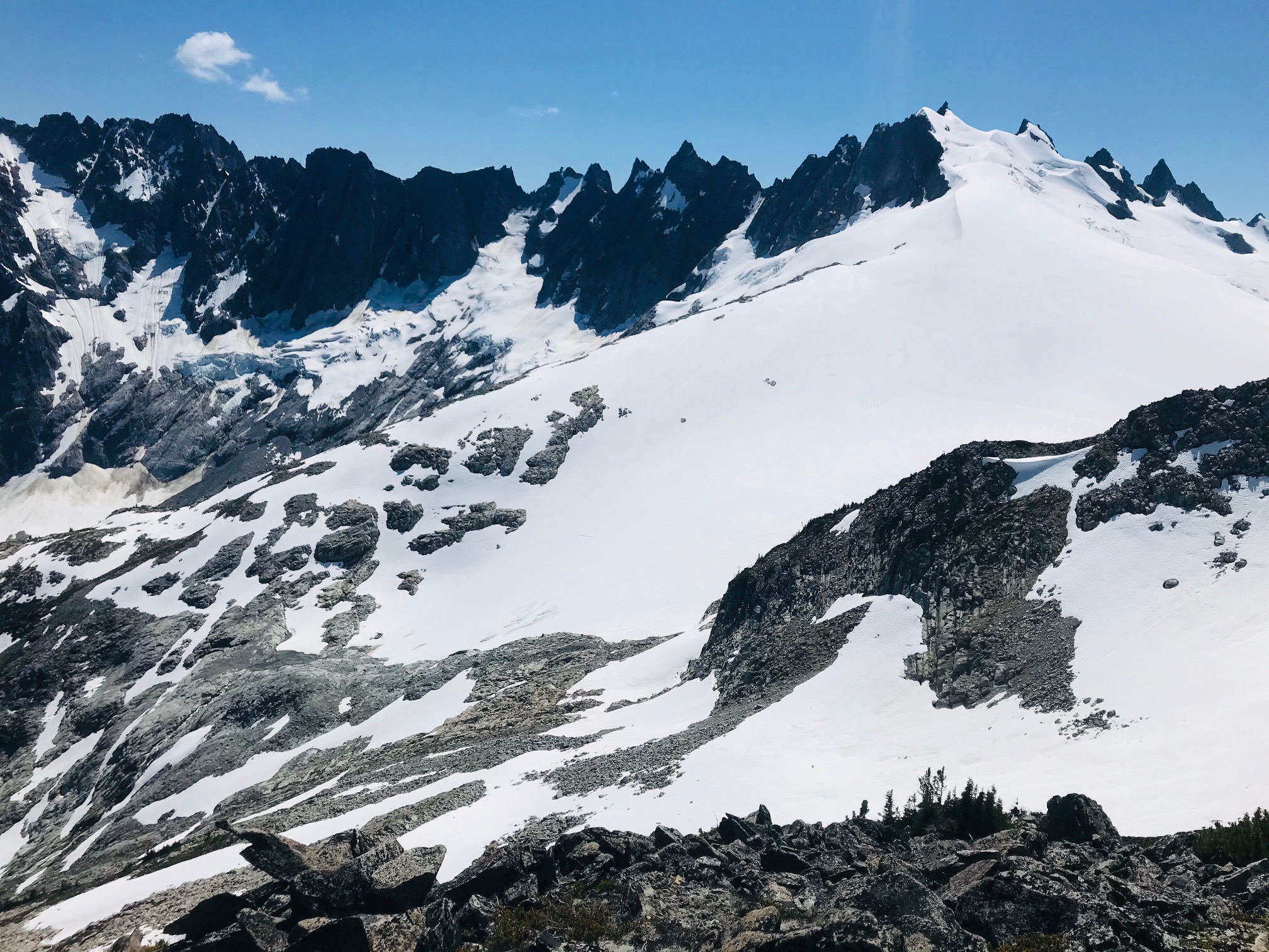
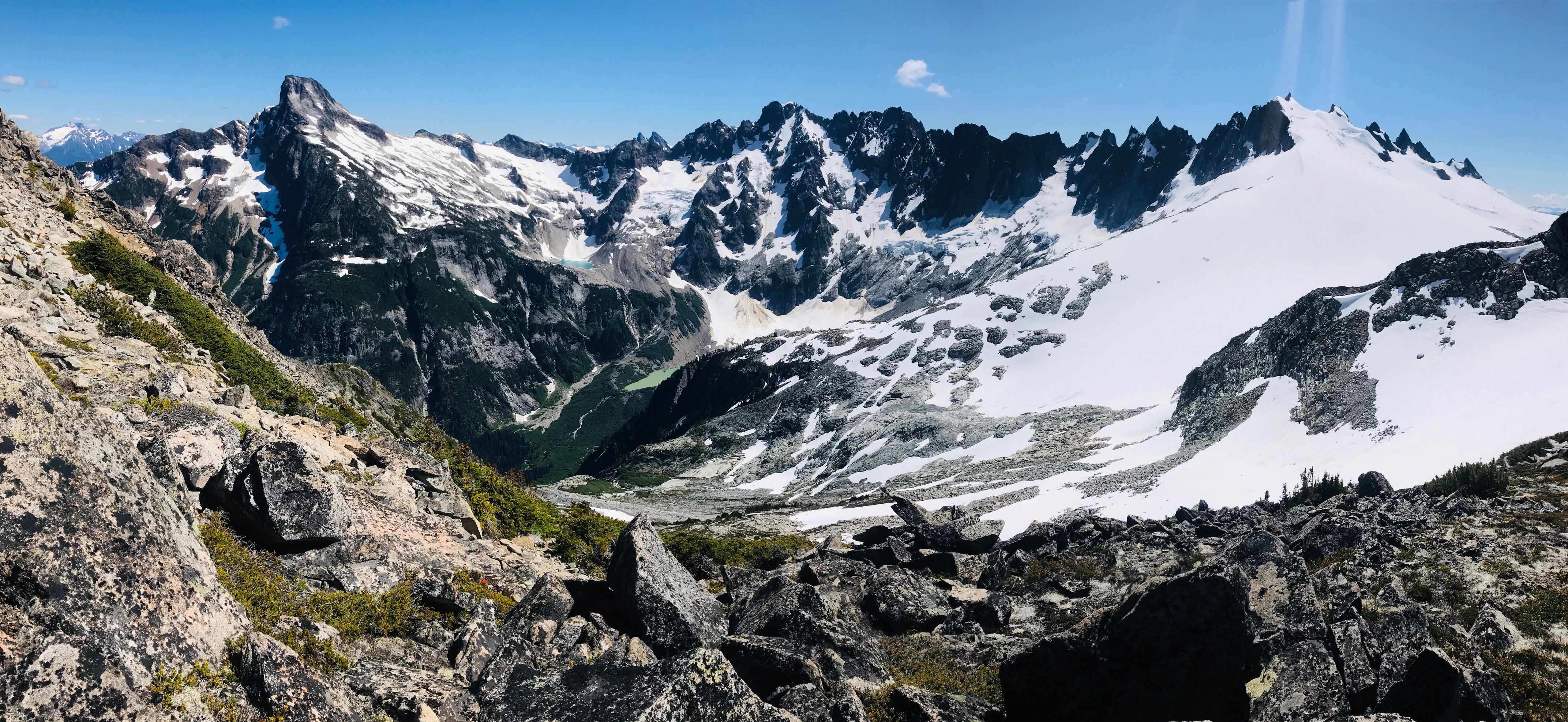
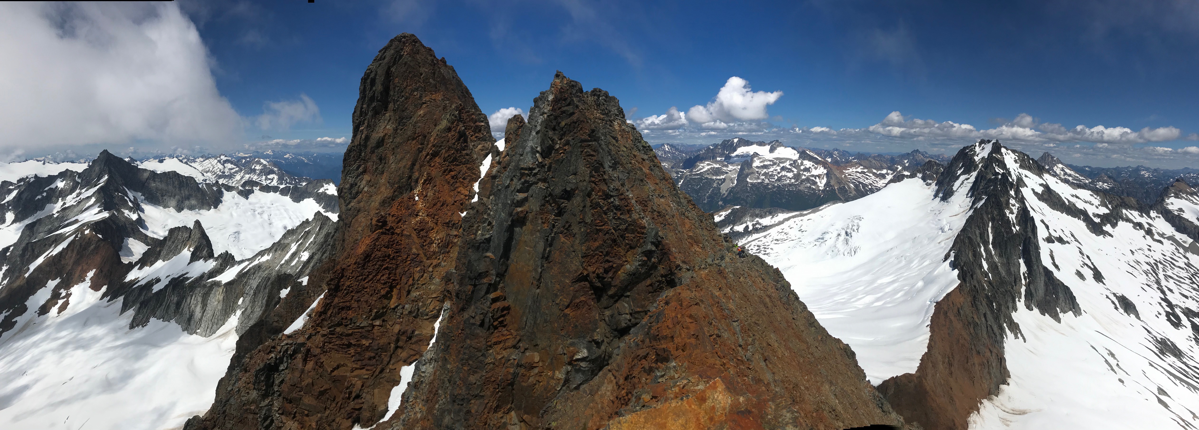
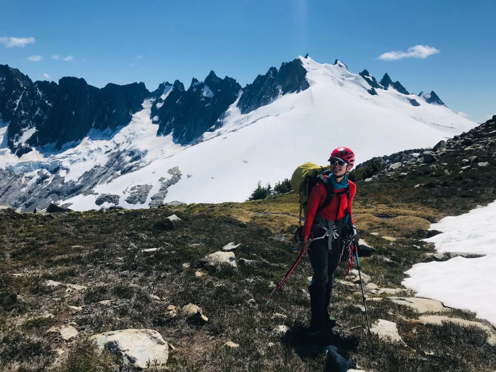
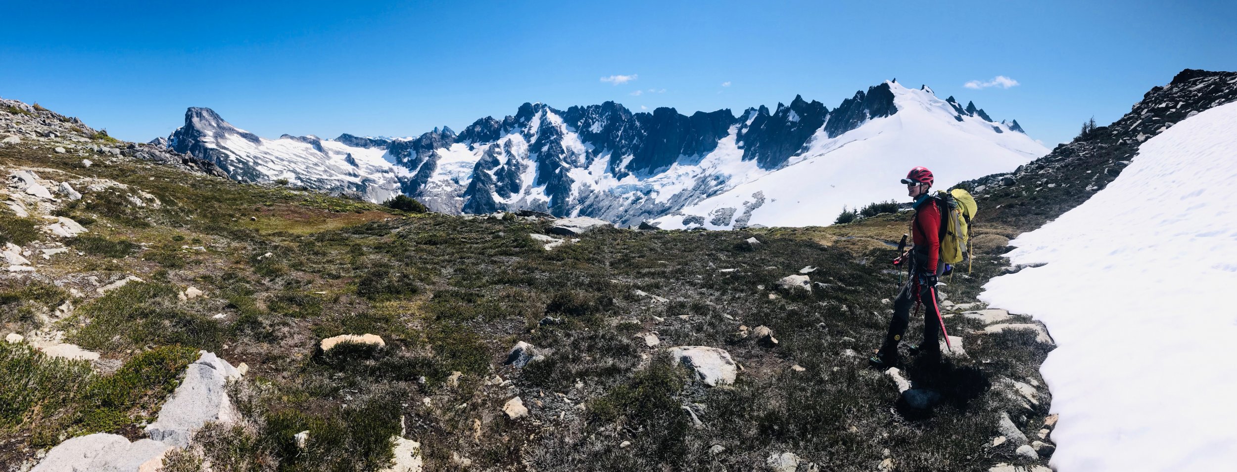
Trip: Primus and Tricouni Peaks - East and West Ridges Trip Date: 07/23/2020 Trip Report: While poking around Google Earth last winter, I came across the Borealis Glacier and its little lake and my eyes got very large. I had to at least go there to spend a night! Further investigation revealed easy routes up the two peaks that cradled this basin, Primus and Tricouni. And so I somehow convinced Aaron to join me, and we went on a fine Cascadian outing Wednesday to Friday. We went in with little research and the adventure was complete with logjam navigation and dirt clod/root ball problem, steep schwacking, faint climber's trail, amazing camp spot, easy glacier travel, lots of wildflowers, and some class 2/3 travel on average rock and two summits! Wednesday morning we had a backpack weigh-off, and I was the smug winner. 26 pounds with a liter of water, two nights' food, tent, stove/pot, fuel, glacier gear, and tiny alpine rack! I haven't weighed my backpack in many years, and I was happy with the number. We left Seattle and stopped by Marblemount for permits, then got out to Colonial Creek Campground. Even the first bit of easy trail along Thunder Arm was beautiful. We continued along the mostly flat Thunder Creek trail for about six miles, past the washed-out bridge and then began scouting for logs across or possible not-certain-death fording opportunities or cairns for help. A bit over a quarter-mile past the old bridge, Aaron spotted some bootprints down the mossy duff off the trail, and we followed. Unfortunately, our "this looks trail-ish" senses were not fully engaged at this point, and we spent longer than necessary battling brush to get to the river. When we did, we saw that we needed to go upstream to access the logjam extravaganza and shallow water to the key log and root ball to get onto the western shore of Thunder Creek. That all went fine and then we readied ourselves for the steep AF ridge climber's trail (about 4,000' in less than 2.2 miles). Decision time: schwack up steep hillside that didn't look too thick and intersect the climber's trail (direct route) or schwack-traverse around to the climber's trail and take it from there? I have a tendency to always want to go direct.... which I often realize is not the best way, yet I have a hard time learning this lesson! Although we think the time spent would have been about equal between, the steep bushwhack was certainly much more mentally taxing. We intersected the trail and followed it up and up.... in places it was obvious, other places very faint, and in some places absolutely nonexistent. Not bad overall, though! We got up to the heather slopes and the mosquitos got really bad -- oof. About 7 hours from leaving the trailhead, we got up to the camp spot. Super mega primo! The 360 views are incredible.... north to the Hozomeens and Jack, across McAllister Creek to Snowfield, up Fisher Creek to Kimtah and Mesahchie, and then the framed and majestic LOGAN massif! The glacial lake actually isn't visible from the spot, but the giant banded gneiss cliffs and remnants of Borealis Glacier are! Dinner for me was an alpine burrito complete with avocado, a lot of cheese, rehydrated refried beans, and sriracha. MUCH better than ramen and tuna.... The sunset was outstanding, and later that night, the bare sliver of moon made the Milky Way pop. We woke up to sustained winds and a mostly-cloudy sky with solid clouds to the north and west, including some dark ominous ones. Primus was almost completely socked in. D'oh! We had brought a 60m half/twin and tiny alpine rack with the plan of ascending Primus via the N Ridge (low 5th), descending down the east side, then going up the west slope of Tricouni. Alas, our stoke was not there for the technical route and so we left the gear at camp. We made our way around the basin up to the snow and roped up for the simple glacier travel across toward Lucky Pass, and made our way up the slopes of Primus. This turned out to basically be a talus walk up to the broad, flat top. Unfortunately the views weren't very open when we were up there, but the weather was improving... What is this flower called?! I love it... Tricouni was much more fun, some options for solid 3rd and 4th class scrambling with easy walking, and the views opened up for Austera, North Klawatti Glacier, Klawatti Lake, Eldorado, Forbidden and Forbidden Glacier, Buckner and Boston Glacier.... WOW. And Goode! And Logan! Made our way back to camp (about 9.5 hours round trip)... and about twenty minutes later, four climbers come (dare I say staggering) up the climber's trail! I was floored to see anyone else up there, especially on a weekday. We chatted for a bit, but they really just needed to find a spot to camp....I hope the rest of their Inspiration Traverse went well! (I asked, and two said that they were consistent lurkers of CC... so I hope you guys see this and let us know how your trip went!). Views of Logan in the afternoon were fantastic: The exit was straightforward and we got to downclimb the fourth class dirt and trees. We took the climber's trail all the way down the ridge as far as possible, ran into a family of ptarmigans, then Aaron spotted a lizard creature. We followed a faint but easy half-schwack back to the creek crossing (on the approach, stay right after you climb over the root ball, and stay along the creek below the cliffy section!). From there it was an easy time back up to the trail, and then lots of huckleberries and blueberries were eaten and we picked about 3/4 liter to take home! In the parking lot, we met Arthur and Annie, a very sweet older couple with fun stories and their new Winnebago van. Oh, and we saw a fat ground squirrel. A lovely trip! I'm already excited about the Isolation Traverse and exploring this area earlier in the season, and on skis! Gear Notes: Glacier things, light axe. I used aluminum crampons on approach shoes and it worked for me in the fairly soft conditions we found. Approach Notes: See above.1 point
-
Trip: Mt. Baker - North Ridge Trip Date: 07/19/2020 Trip Report: I just wrote a nice TR but then hit the back button on my phone, d'oh.... Gist was: getting to ice step was pretty straightforward, it's an interesting route, AJ was my ice rope gun (thank you), we found a half pitch of AI3, the rest of route was very mellow, which was a little disappointing. There were 14 people on/at the ice step when we were there and I bet at least 30 people climbed the NR yesterday...nuts. Walking down was not cool and I vow to only ski down volcanoes from this day forward. On the summit I met @Juan Sharp and his partner (I'm not confident I remember his CC handle, sorry!) who had come up the Boulder. Pics without captions, feeling lazy: Gear Notes: We brought 7 screws of varying lengths, did not need the shortest ones. We brought 3 pickets but didn't use any of them. Approach Notes: Long traverse around 6600'...1 point
-
Alisse, it was nice running into you and Aaron at your camp on Thursday. We were staggering, yes, and possibly not completely coherent. By that point of the approach we were pretty spent and tired of the mosquito swarms. The rest of our trip went great. We climbed Tricouni, Primus, and Austera on Friday, Klawatti on Saturday, Dorado Needle on Sunday, and then staggered out to the Eldorado trailhead. Stephen1 point
-
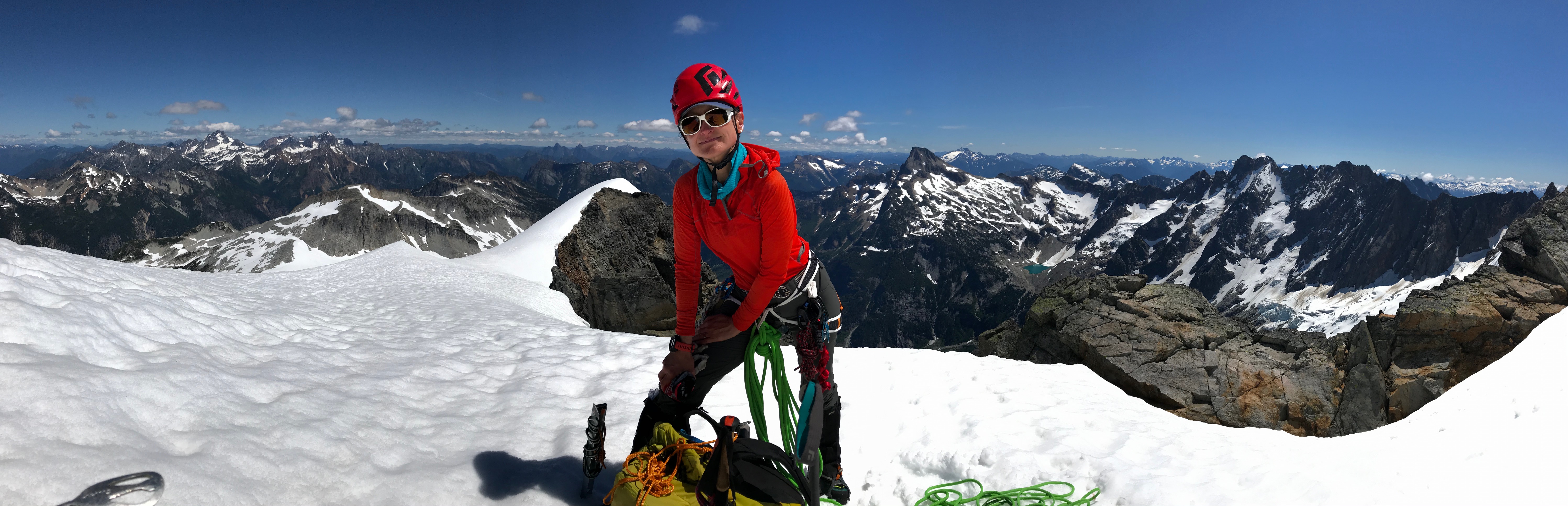
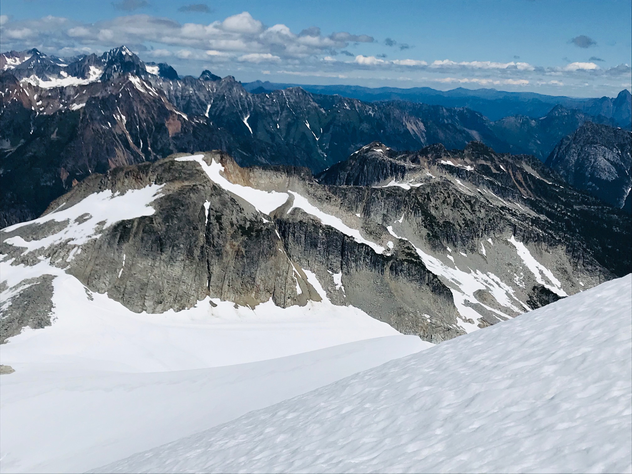
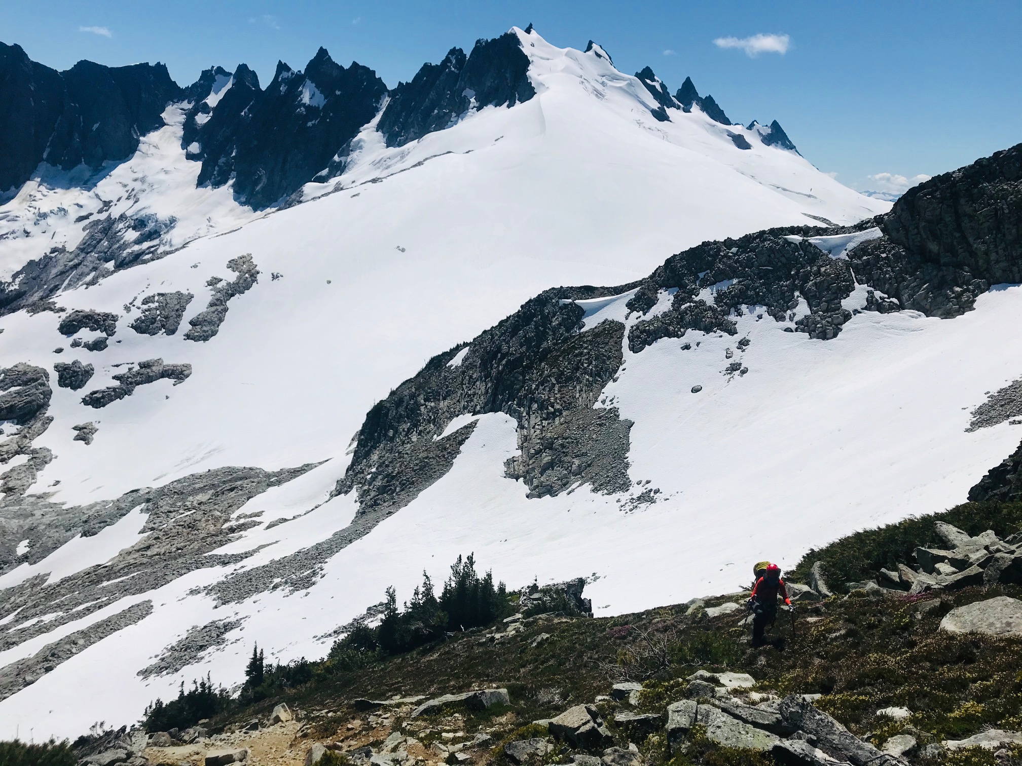
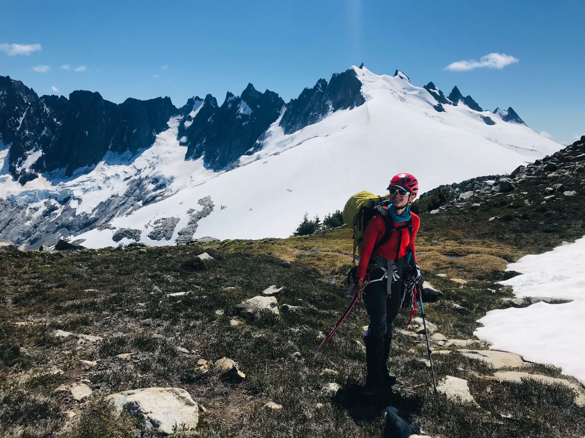
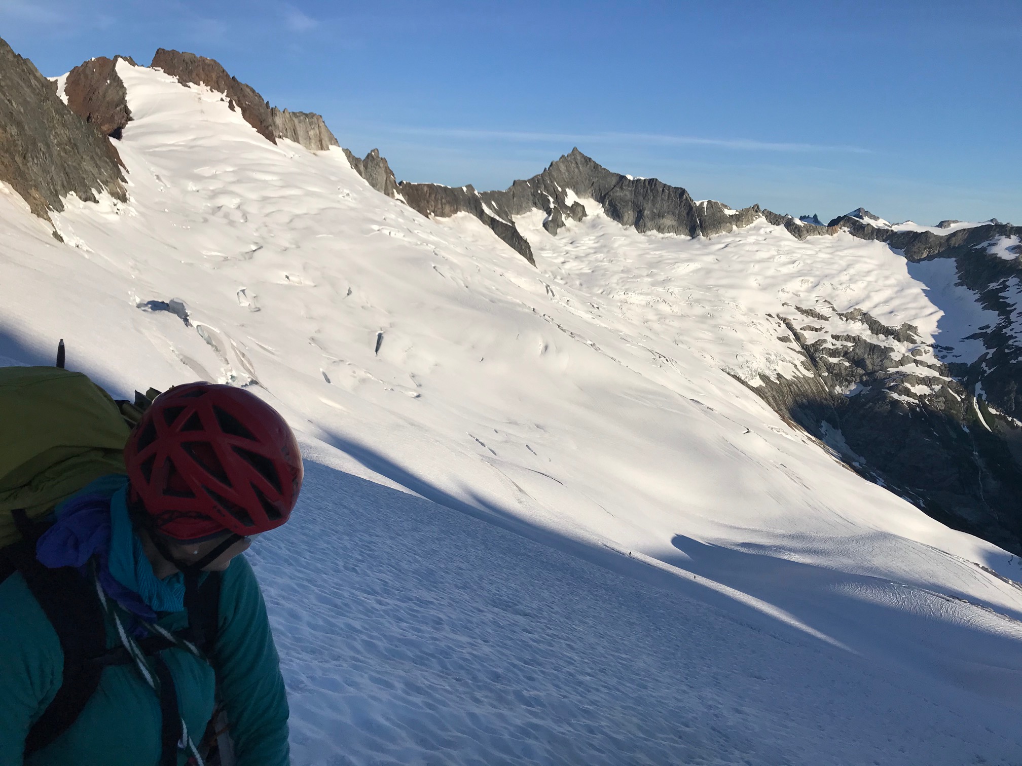
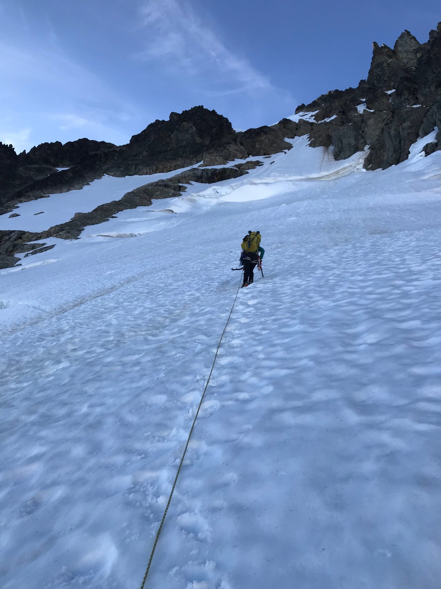
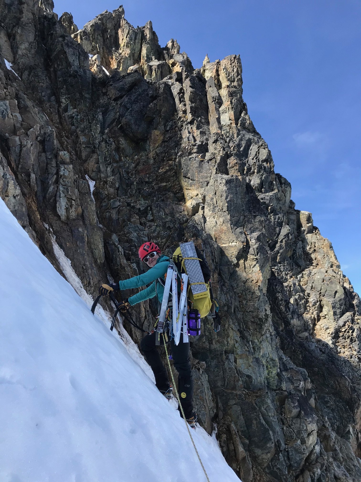
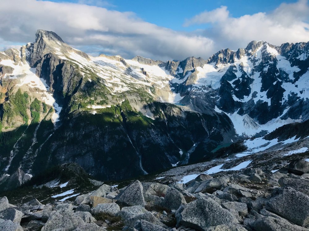
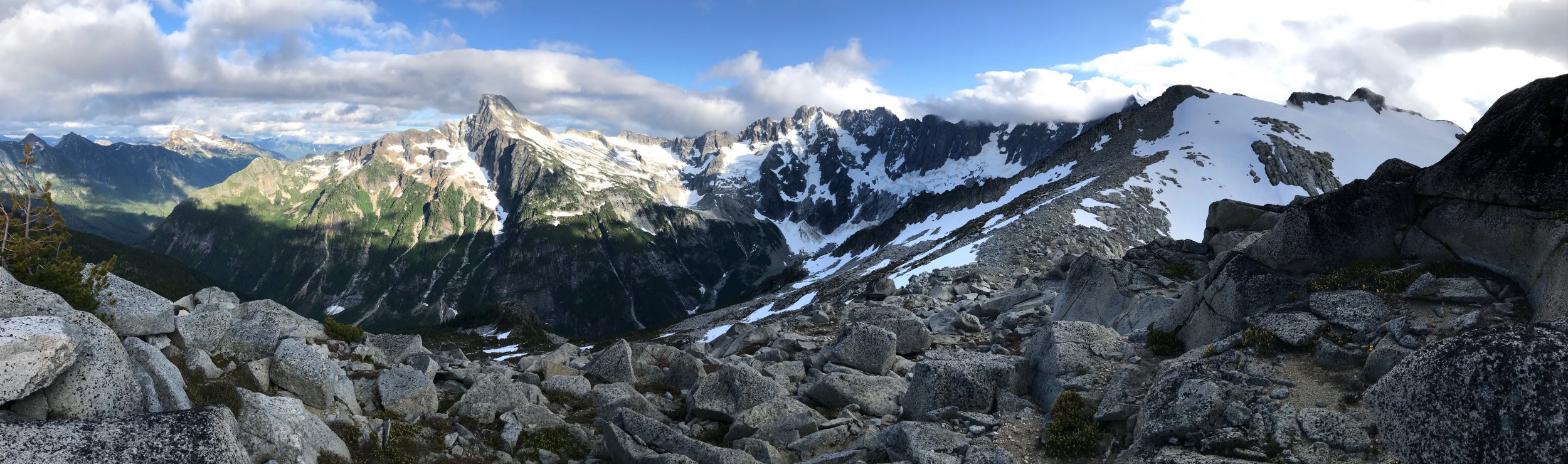
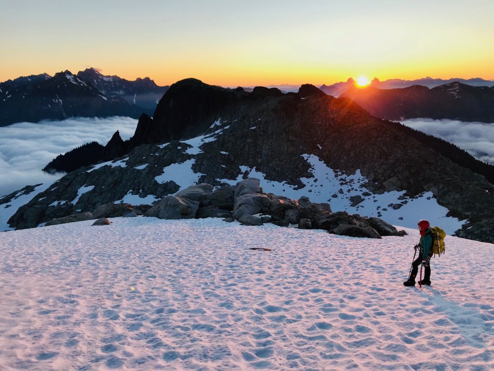
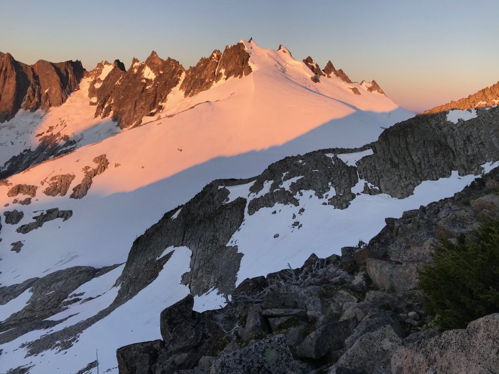
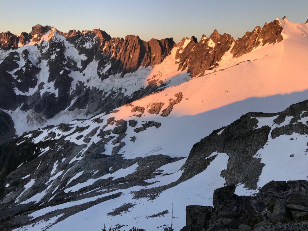
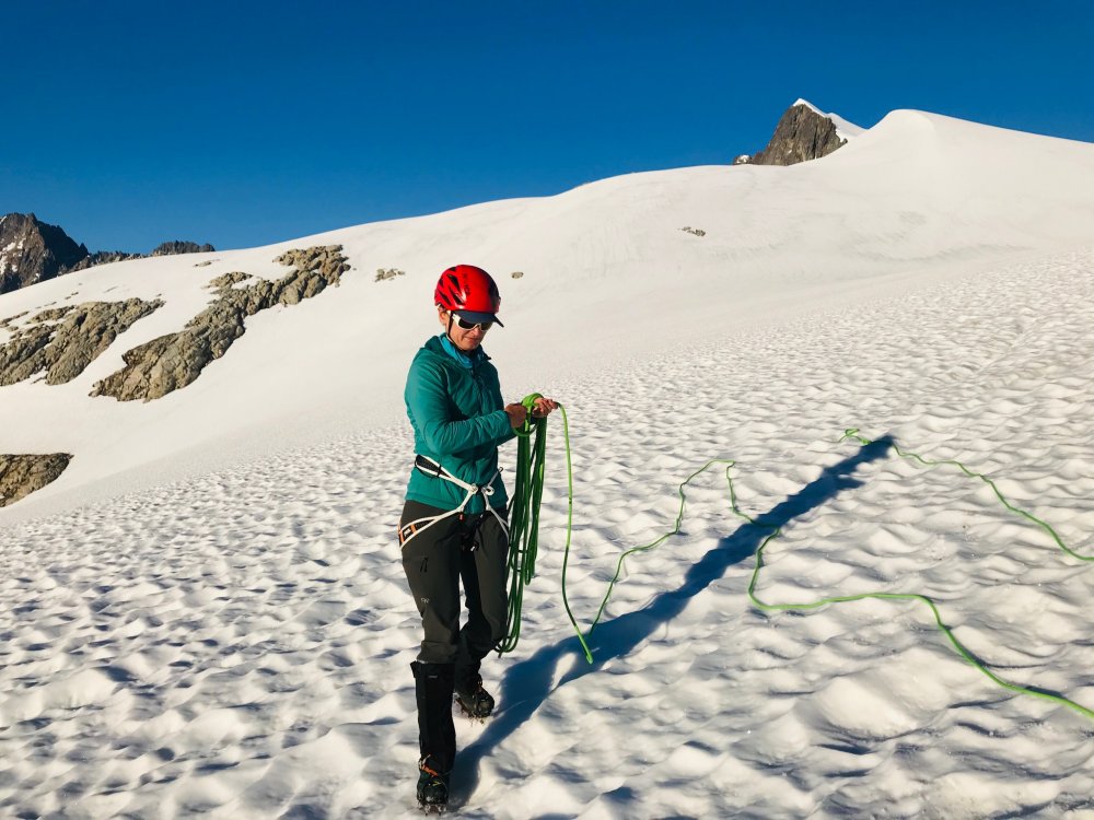
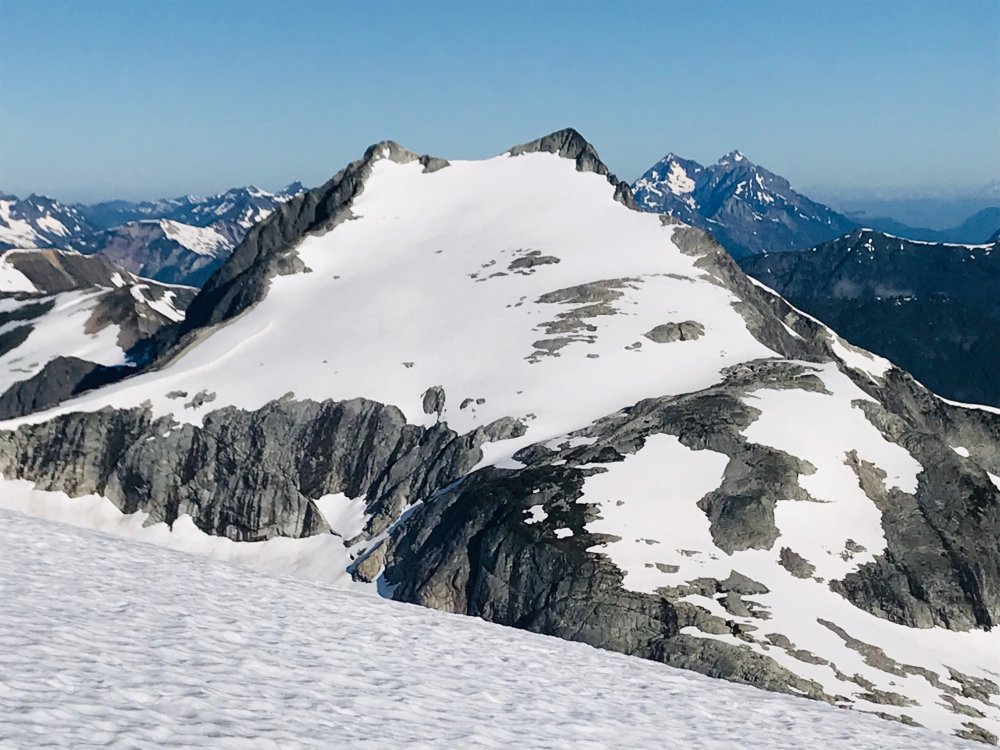
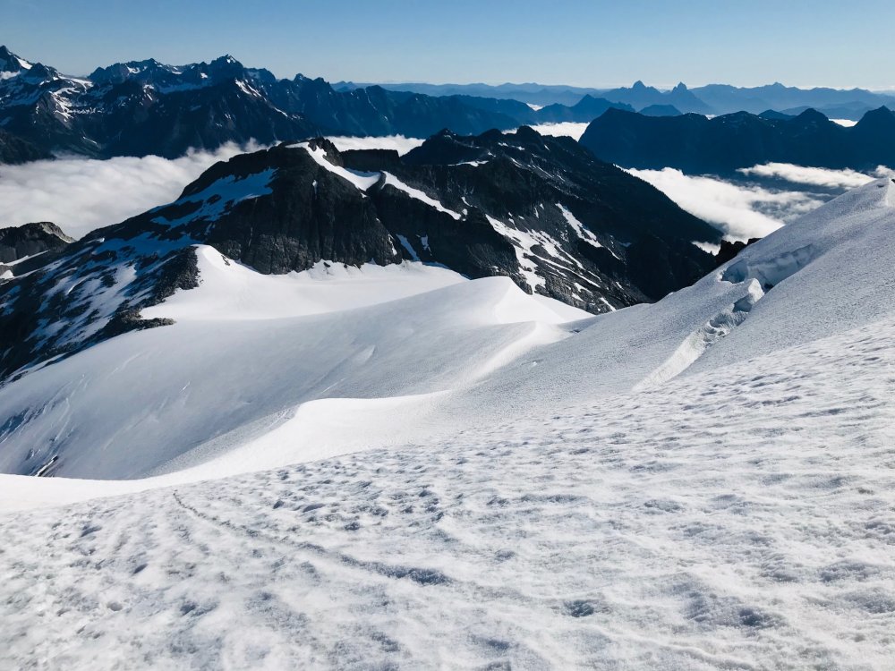
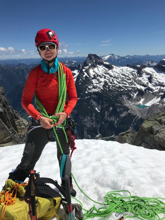
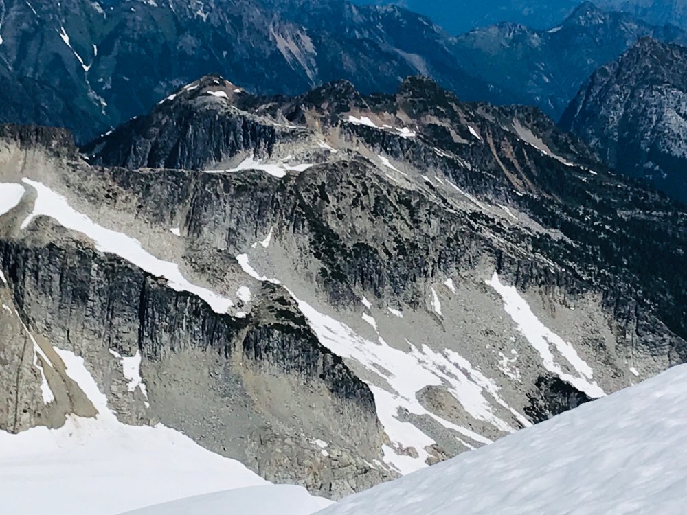
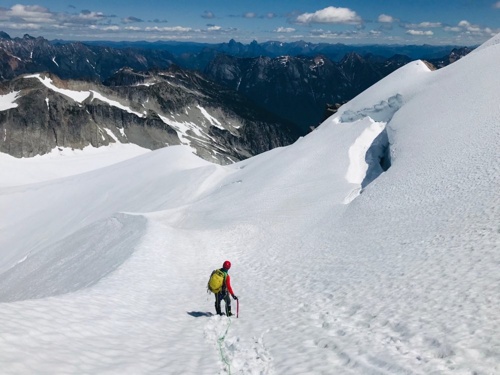
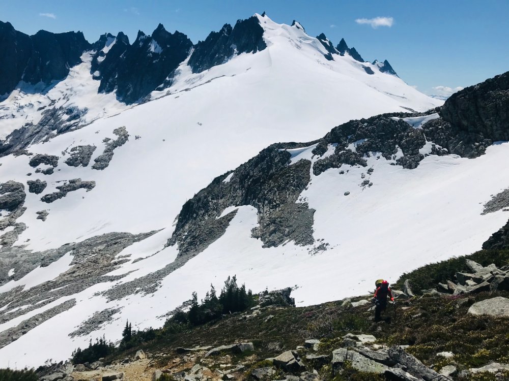
Trip: Mount Buckner - North Face Trip Date: 07/19/2020 Trip Report: The North Face of Buckner has eluded us the last couple seasons getting weathered out every time we planned it. Last year hunkering down in a whiteout at the Boston/Sahale Col overnight hoping for a break in the weather that didn’t happen. YouTube Video This weekend everything came together with a clear weather, not too high of temps and the route conditions appeared promising. Although we didn’t know what the route itself was going to be like we had seen a photo of the Boston Glacier from the summit of Bucker from the weekend before which made the transition to the glacier look easy (from a distance). I drove up to Marblemount on Friday to pickup a Boston Glacier permit not wanting to wait in a long line on Sat morning which worked out. Still arriving at 2:30pm there were 9 parties waiting for the 1 ranger helping with permits and the first 2 parties took at least 20 minutes each apparently doing their vacation planning at the permit window. Around 3:30 with about 6 parties ahead of me a ranger came out to announce they were closing in 30 minutes and they wouldn’t get to everyone and some would have to come back in the morning. No way I’m driving 6 hours on Friday for nothing. Then a ranger came out and gave a guy on the side his permit who was behind me. Then they had a couple extra rangers come out last minute to expedite things and got our Boston Glacier permit just before they closed. Back home and finished packing and a 3:30am wakeup Sat morning for the drive back to the Boston Basin trailhead and was able to get one of the last parking spots and were on the trail by 7:15am. About 5.5 hours up to the Boston/Sahale Col and met up with another party of two doing the same route. Lunch break on the col which is the furthest we had ever been on either of the Buckner routes. Scrambled over to the base of Boston Peak which is a very exposed thin ridge with steep drops on both sides and a lot of loose rock. Found a nice flat rock and took a long nap looking at the route and views for a while. Once we got around the corner saw that the Boston Glacier snow came all the way up and it was as expected, an easy walk onto the glacier and down to where we would setup camp. No sketchy downclimb transition. The other party kept going and dropped further down towards the rocks closer to the base of the climb. All of us had gotten up around 3:30am and took our time getting ready. By 5am we had camp packed. For us was more of a 1 mile walk staying high and closer to the ridge navigating around some big crevasses while the other party had about a 1000ft gain up to the base from below and we all converged about the same time. Rodica lead off doing the lower portion of the route. We stuck close to the rocks on the right-hand side and weaved around some bergschrunds at the start and had to step over one starting to form. Once we approached the middle of the climb the other party took the lead and I took our lead through the middle sections. It was mostly steep snow from that point placing 1 picket between us until it constricted to the point, we had to transition right over some rocks which was loose, wet, muddy, kitty litter but not terribly hard. Not much in the way of rock pro but I did find a spot for one cam before moving into the rocks. Above the rocks it was a snow traverse back left where I brought Rodica up and I was able to make a marginal rock anchor. North Face route has a lot of bergshrunds opening up but were able to zigzag around them at the start and step across one starting to open up. Left side variation may be the way to go within a week. There is no continuous snow from bottom to top. It narrows to a constriction near the top and requires a transition across some rock. Loose, wet, muddy, kitty litter rock with little to no pro. Possible variation to the left but not sure how easy that rock scramble would be that would put you onto the upper slope a bit further down. Once above the constriction move left over the edge and its the last 300ft of steep snow straight to the summit. From here it was maybe another 300ft to the summit and Rodica took lead following the other pair and it was just a long steep snow slope up to the summit. It took about 4.5 hours for the climb itself which put us there around 10:30 and we took a long break on the summit. On the way down we had considered doing Horseshoe but we took too long a break and with the other party doing it ahead of us figured that would put us home past midnight so we opted to head back which was around noon by then. By 2:30 we were partway up the route back to Sahale camp and at the rock scramble portion of the way back up. Since we had never been here before we got a little off track where the obvious footpath stops. We had looked right and just saw a steep cliff with a narrow couple foot path but that didn’t look traveled (it turned out the route is a rock scramble straight up from that point and the patch gets lost in the rocks). We saw a lot of boot prints and well-traveled trail going left so we followed that well around the corner the other way which also petered out at rocks. So, we figured it was a rock scramble up. But where we went up started turning into 4th/5th class rock climbing and we wound up stuck at someone else’s bailout slings. So instead of exploring with full packs and hot and exhausted we decided to rappel down and backtrack to that first cliff and ledge. After some poking around we found the rock scramble up and on the path. That pretty much blew the couple hours we saved by not doing Horseshoe peak. In hindsight now looking at our gps tracks where we blew our time doing the 4th/low 5th climbing and bailing back down at the bailing slings if we had continued up climbing another 40 to 60 feet would have reconnected with the route. After that it was just a long straight forward slog back to the Sahale camp, down Sahale Arm to Cascade Pass back to the parking lot then down the road to the car by 9pm. Of course, everything was closed on the way out, so it was dinner at Taco Bell pushing midnight on the way home in Marysville. Gear Notes: 4 pickets, 2 screws (didn't use), light alpine rack (4 cams, 6 nuts) - only used a small cam a couple times. Approach Notes: Transition onto Boston Glacier is in great shape, easy walk onto the glacier from the ledge leading to the base of the Boston Peak summit block. Kept a high line from camp as near to the ridge line as possible skirting the large crevasses nearing the route.


 1 point
 -
Trip: Mt. Goode - NE Buttress Trip Date: 07/18/2020 Trip Report: Climbed the NE Buttress with Steve July 18-20. The trail from Highway 20 was largely brush free until Grizzly Creek, which we crossed easily on a log. From there, it was a brushy caterpillar orgy. The direct approach, climbing just right of the leftmost waterfall, was easy and fast. Glacier navigation was simple, although we did cross some blue ice and bridges. We were able to gain the buttress just below the red ledges via a collapsed snow moat. Climb was great! Plenty of snow patches on the route to fill our bottles with. From the summit we scrambled NW to the next notch and found a huge patch of snow which we melted for abundant water. Descent was a long day but not too bad. Once down at the 7400 ft heather benches, keep traversing skier's right until reaching the burned ridge that divides the drainages between Storm King and Goode, take that down to the Park Creek Trail. https://climberkyle.com/2020/07/18/mt-goode-ne-buttress-5-5/ On a side note, it appears from the summit logs that quite a few parties have climbed Megalodon Ridge. Most mentioned that they never found the 5.10 pitches, so perhaps it is easier than 5.10 or these difficulties are simple to circumvent. Goode Glacier and NE Buttress. On lower route. Le Conte and Sloan. Forbidden, Eldo, and the Twin Sisters. Sahale and the sound. Silver Star. Douglas Glacier on Logan. Rapping down. Gear Notes: Trail runners, aluminum crampons, and ice ax for the approach. Climbing/approach shoes on route. 60 m 8mm rope. Cams .4-2, 9 slings, tricams, nuts. Oh, and 10 lbs of camera gear (including a full sized tripod) for Steve. Approach Notes: When you reach the open valley beneath Goode, ford the river, ascend up easy boulders/snow. Climb the 4th class slabs just right of the leftmost waterfall. Continue upwards through the magical alder tunnel. Eventually you'll emerge into wildflower meadows and then the camps atop the lateral moraines.1 point
-
Forgot to add that I was happy to see @JasonG in the Tricouni register!1 point
-
Awesome, I love seeing activity up there! I dreamed about climbing that once but a hike to the base changed my mind. That is a mountaineering peak for sure but looks great from a distance. If you need some partners for better rock big walls in BC let me know! Not that many aid climbers up there anymore. TFPU here!1 point