Leaderboard


Popular Content
Showing content with the highest reputation on 07/21/20 in all areas
-
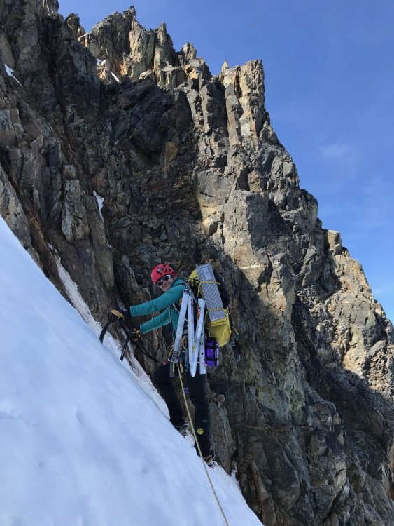
Trip: Mt. Baker - North Ridge Trip Date: 07/19/2020 Trip Report: I just wrote a nice TR but then hit the back button on my phone, d'oh.... Gist was: getting to ice step was pretty straightforward, it's an interesting route, AJ was my ice rope gun (thank you), we found a half pitch of AI3, the rest of route was very mellow, which was a little disappointing. There were 14 people on/at the ice step when we were there and I bet at least 30 people climbed the NR yesterday...nuts. Walking down was not cool and I vow to only ski down volcanoes from this day forward. On the summit I met @Juan Sharp and his partner (I'm not confident I remember his CC handle, sorry!) who had come up the Boulder. Pics without captions, feeling lazy: Gear Notes: We brought 7 screws of varying lengths, did not need the shortest ones. We brought 3 pickets but didn't use any of them. Approach Notes: Long traverse around 6600'...1 point
-
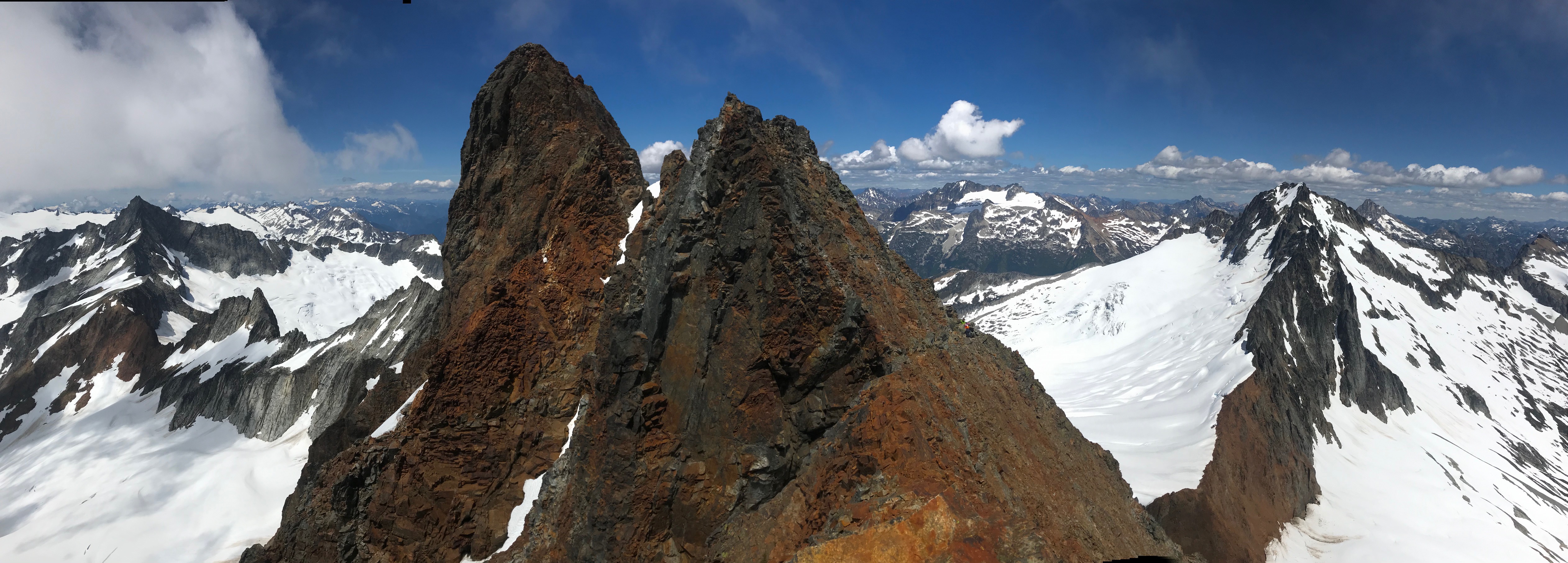
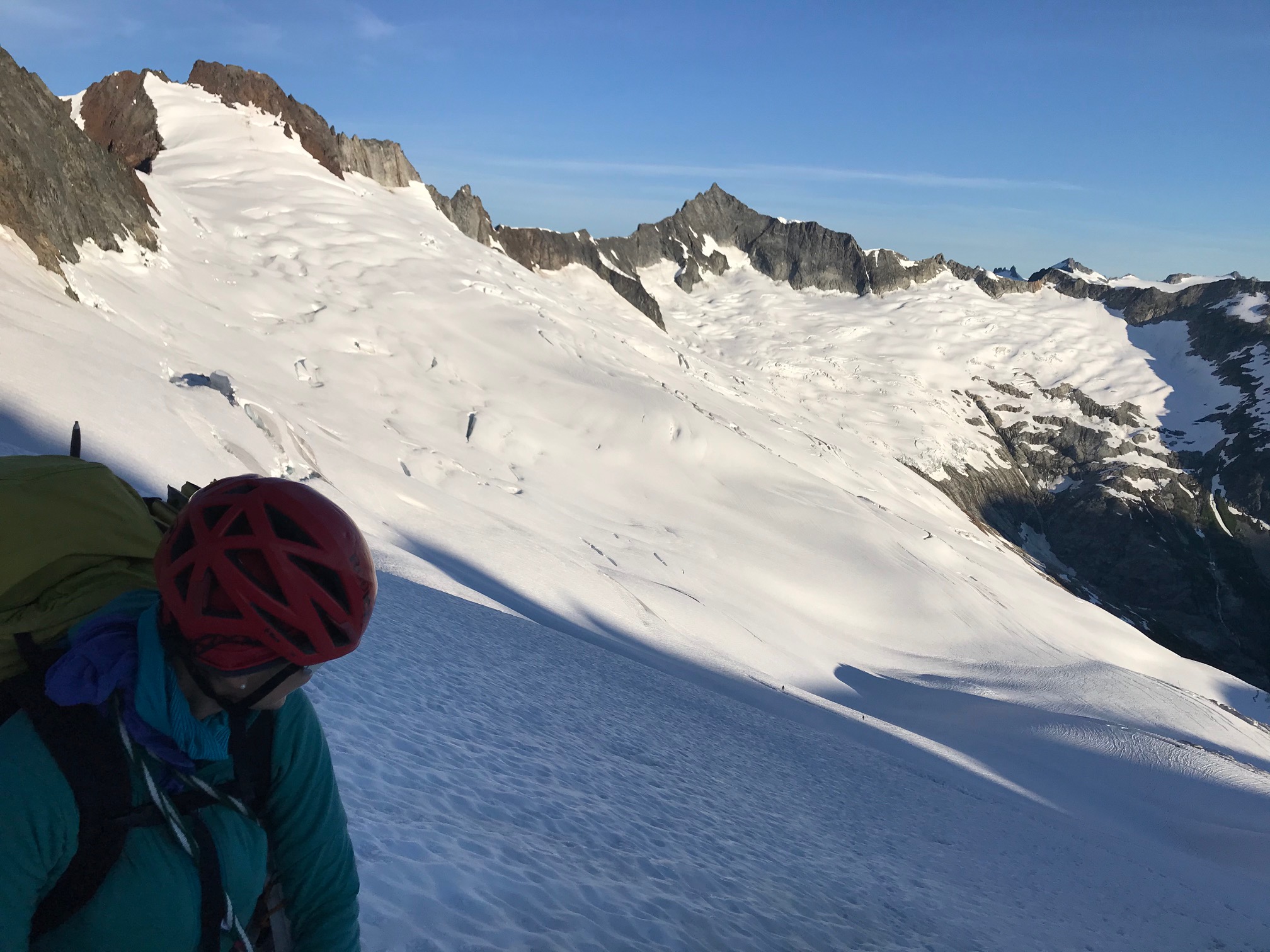
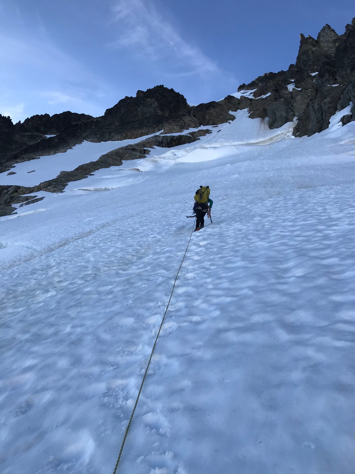
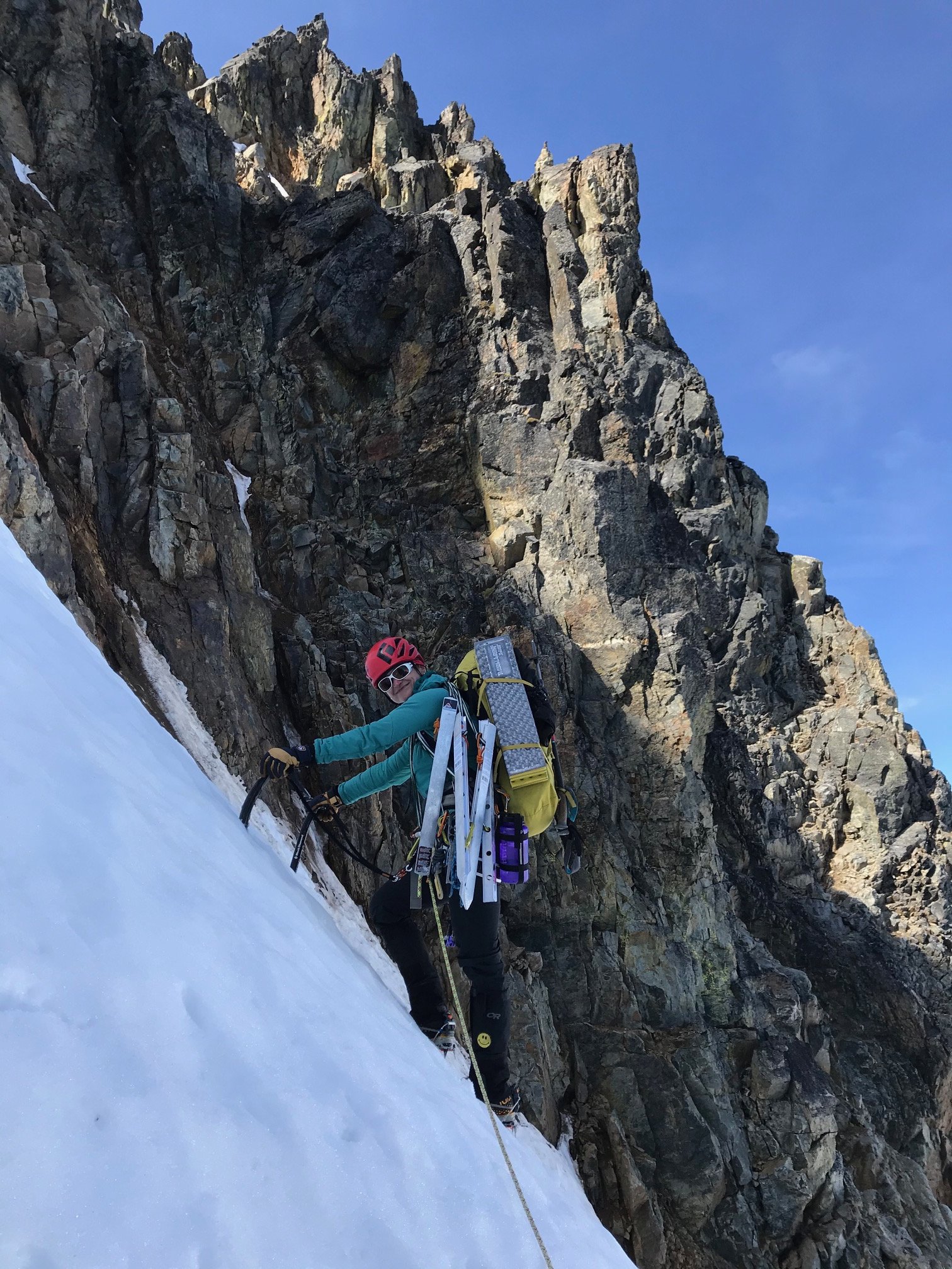
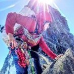
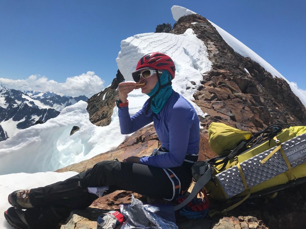
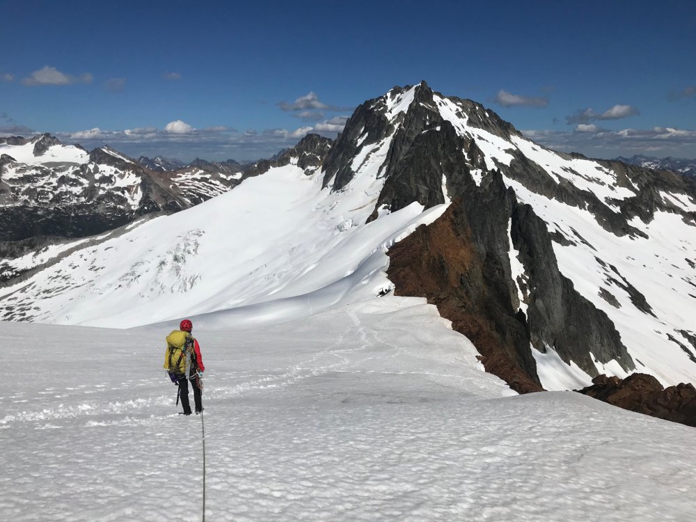
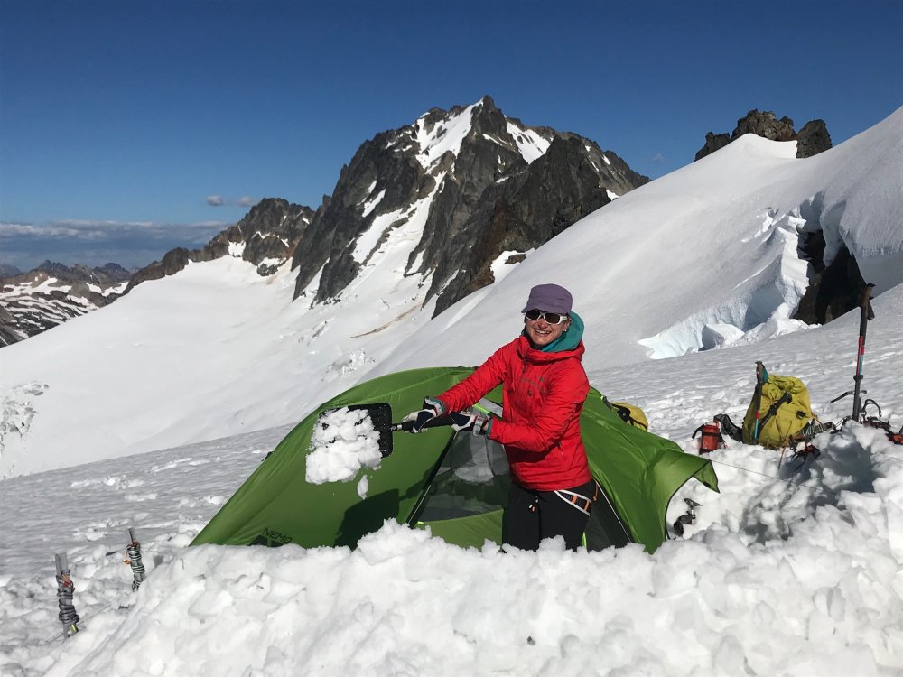
Trip: Mount Buckner - North Face Trip Date: 07/19/2020 Trip Report: The North Face of Buckner has eluded us the last couple seasons getting weathered out every time we planned it. Last year hunkering down in a whiteout at the Boston/Sahale Col overnight hoping for a break in the weather that didn’t happen. YouTube Video This weekend everything came together with a clear weather, not too high of temps and the route conditions appeared promising. Although we didn’t know what the route itself was going to be like we had seen a photo of the Boston Glacier from the summit of Bucker from the weekend before which made the transition to the glacier look easy (from a distance). I drove up to Marblemount on Friday to pickup a Boston Glacier permit not wanting to wait in a long line on Sat morning which worked out. Still arriving at 2:30pm there were 9 parties waiting for the 1 ranger helping with permits and the first 2 parties took at least 20 minutes each apparently doing their vacation planning at the permit window. Around 3:30 with about 6 parties ahead of me a ranger came out to announce they were closing in 30 minutes and they wouldn’t get to everyone and some would have to come back in the morning. No way I’m driving 6 hours on Friday for nothing. Then a ranger came out and gave a guy on the side his permit who was behind me. Then they had a couple extra rangers come out last minute to expedite things and got our Boston Glacier permit just before they closed. Back home and finished packing and a 3:30am wakeup Sat morning for the drive back to the Boston Basin trailhead and was able to get one of the last parking spots and were on the trail by 7:15am. About 5.5 hours up to the Boston/Sahale Col and met up with another party of two doing the same route. Lunch break on the col which is the furthest we had ever been on either of the Buckner routes. Scrambled over to the base of Boston Peak which is a very exposed thin ridge with steep drops on both sides and a lot of loose rock. Found a nice flat rock and took a long nap looking at the route and views for a while. Once we got around the corner saw that the Boston Glacier snow came all the way up and it was as expected, an easy walk onto the glacier and down to where we would setup camp. No sketchy downclimb transition. The other party kept going and dropped further down towards the rocks closer to the base of the climb. All of us had gotten up around 3:30am and took our time getting ready. By 5am we had camp packed. For us was more of a 1 mile walk staying high and closer to the ridge navigating around some big crevasses while the other party had about a 1000ft gain up to the base from below and we all converged about the same time. Rodica lead off doing the lower portion of the route. We stuck close to the rocks on the right-hand side and weaved around some bergschrunds at the start and had to step over one starting to form. Once we approached the middle of the climb the other party took the lead and I took our lead through the middle sections. It was mostly steep snow from that point placing 1 picket between us until it constricted to the point, we had to transition right over some rocks which was loose, wet, muddy, kitty litter but not terribly hard. Not much in the way of rock pro but I did find a spot for one cam before moving into the rocks. Above the rocks it was a snow traverse back left where I brought Rodica up and I was able to make a marginal rock anchor. North Face route has a lot of bergshrunds opening up but were able to zigzag around them at the start and step across one starting to open up. Left side variation may be the way to go within a week. There is no continuous snow from bottom to top. It narrows to a constriction near the top and requires a transition across some rock. Loose, wet, muddy, kitty litter rock with little to no pro. Possible variation to the left but not sure how easy that rock scramble would be that would put you onto the upper slope a bit further down. Once above the constriction move left over the edge and its the last 300ft of steep snow straight to the summit. From here it was maybe another 300ft to the summit and Rodica took lead following the other pair and it was just a long steep snow slope up to the summit. It took about 4.5 hours for the climb itself which put us there around 10:30 and we took a long break on the summit. On the way down we had considered doing Horseshoe but we took too long a break and with the other party doing it ahead of us figured that would put us home past midnight so we opted to head back which was around noon by then. By 2:30 we were partway up the route back to Sahale camp and at the rock scramble portion of the way back up. Since we had never been here before we got a little off track where the obvious footpath stops. We had looked right and just saw a steep cliff with a narrow couple foot path but that didn’t look traveled (it turned out the route is a rock scramble straight up from that point and the patch gets lost in the rocks). We saw a lot of boot prints and well-traveled trail going left so we followed that well around the corner the other way which also petered out at rocks. So, we figured it was a rock scramble up. But where we went up started turning into 4th/5th class rock climbing and we wound up stuck at someone else’s bailout slings. So instead of exploring with full packs and hot and exhausted we decided to rappel down and backtrack to that first cliff and ledge. After some poking around we found the rock scramble up and on the path. That pretty much blew the couple hours we saved by not doing Horseshoe peak. In hindsight now looking at our gps tracks where we blew our time doing the 4th/low 5th climbing and bailing back down at the bailing slings if we had continued up climbing another 40 to 60 feet would have reconnected with the route. After that it was just a long straight forward slog back to the Sahale camp, down Sahale Arm to Cascade Pass back to the parking lot then down the road to the car by 9pm. Of course, everything was closed on the way out, so it was dinner at Taco Bell pushing midnight on the way home in Marysville. Gear Notes: 4 pickets, 2 screws (didn't use), light alpine rack (4 cams, 6 nuts) - only used a small cam a couple times. Approach Notes: Transition onto Boston Glacier is in great shape, easy walk onto the glacier from the ledge leading to the base of the Boston Peak summit block. Kept a high line from camp as near to the ridge line as possible skirting the large crevasses nearing the route.


 1 point
 -
@Alisse great job getting after it this year!1 point