Leaderboard


Popular Content
Showing content with the highest reputation on 06/28/19 in all areas
-
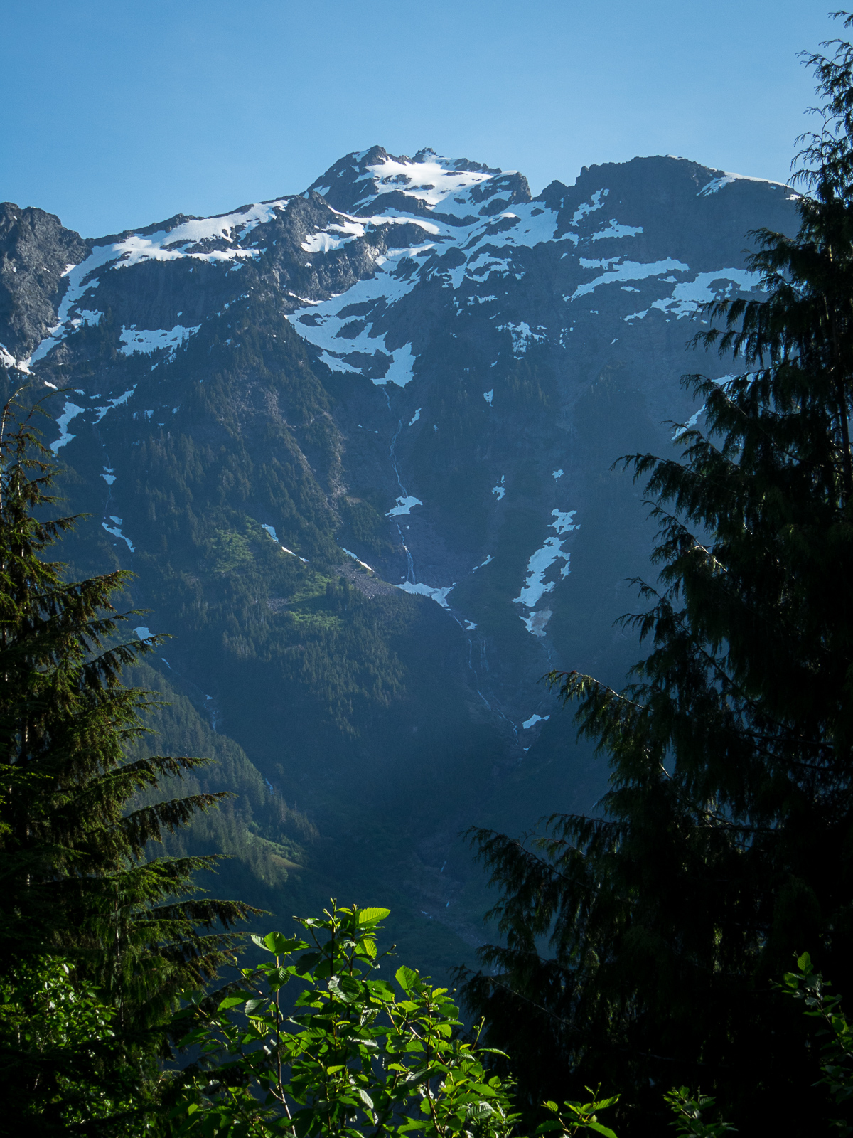
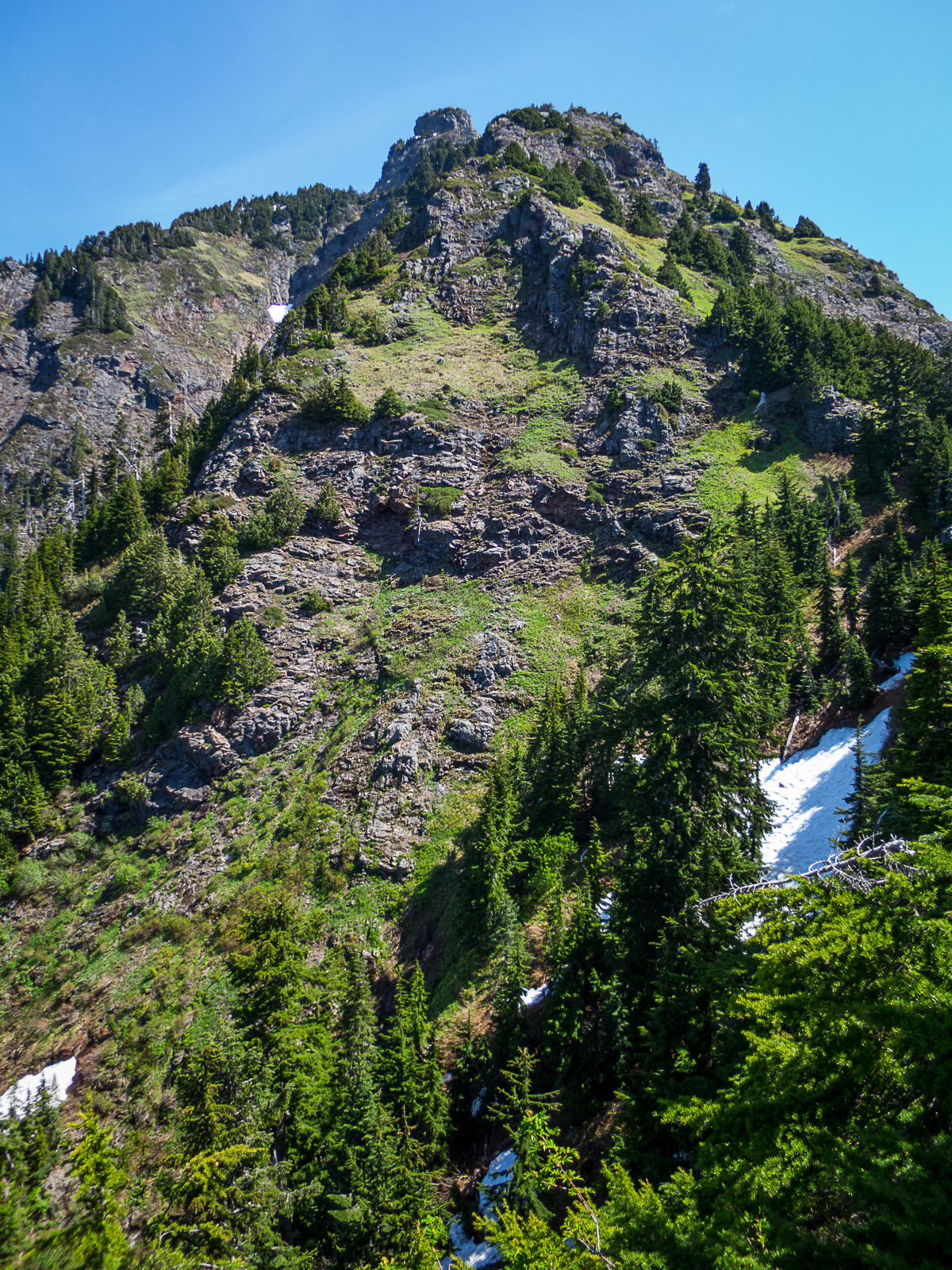
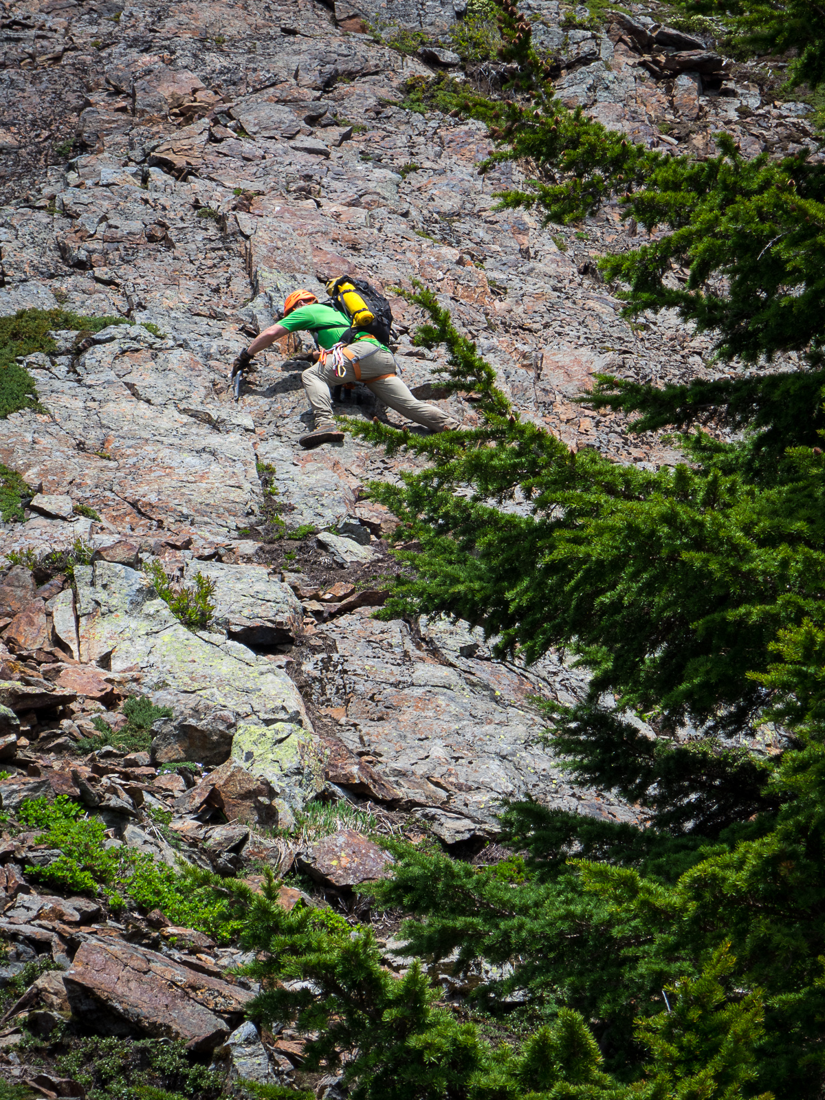
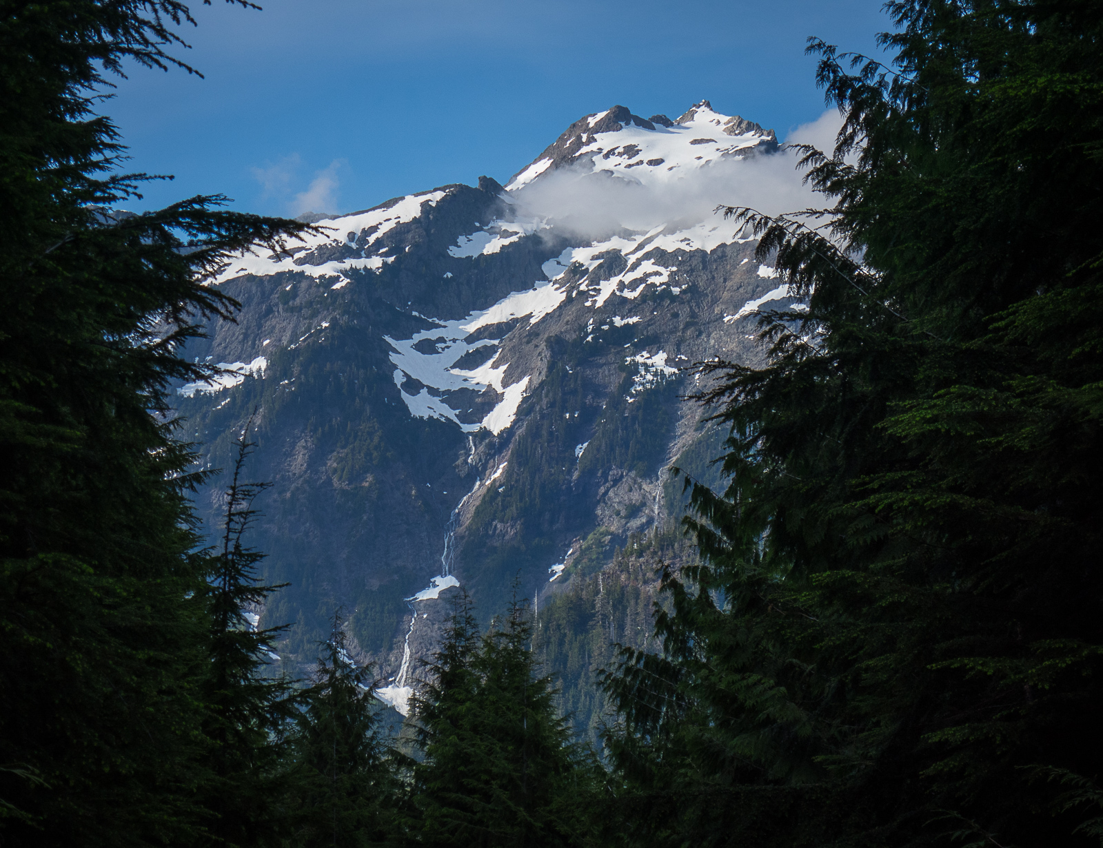
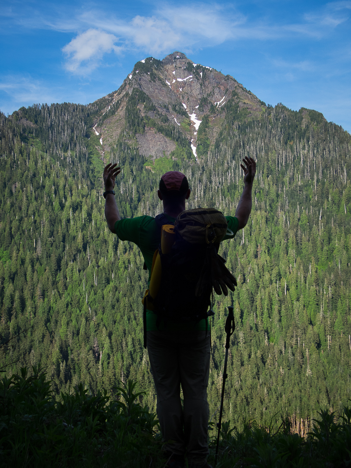
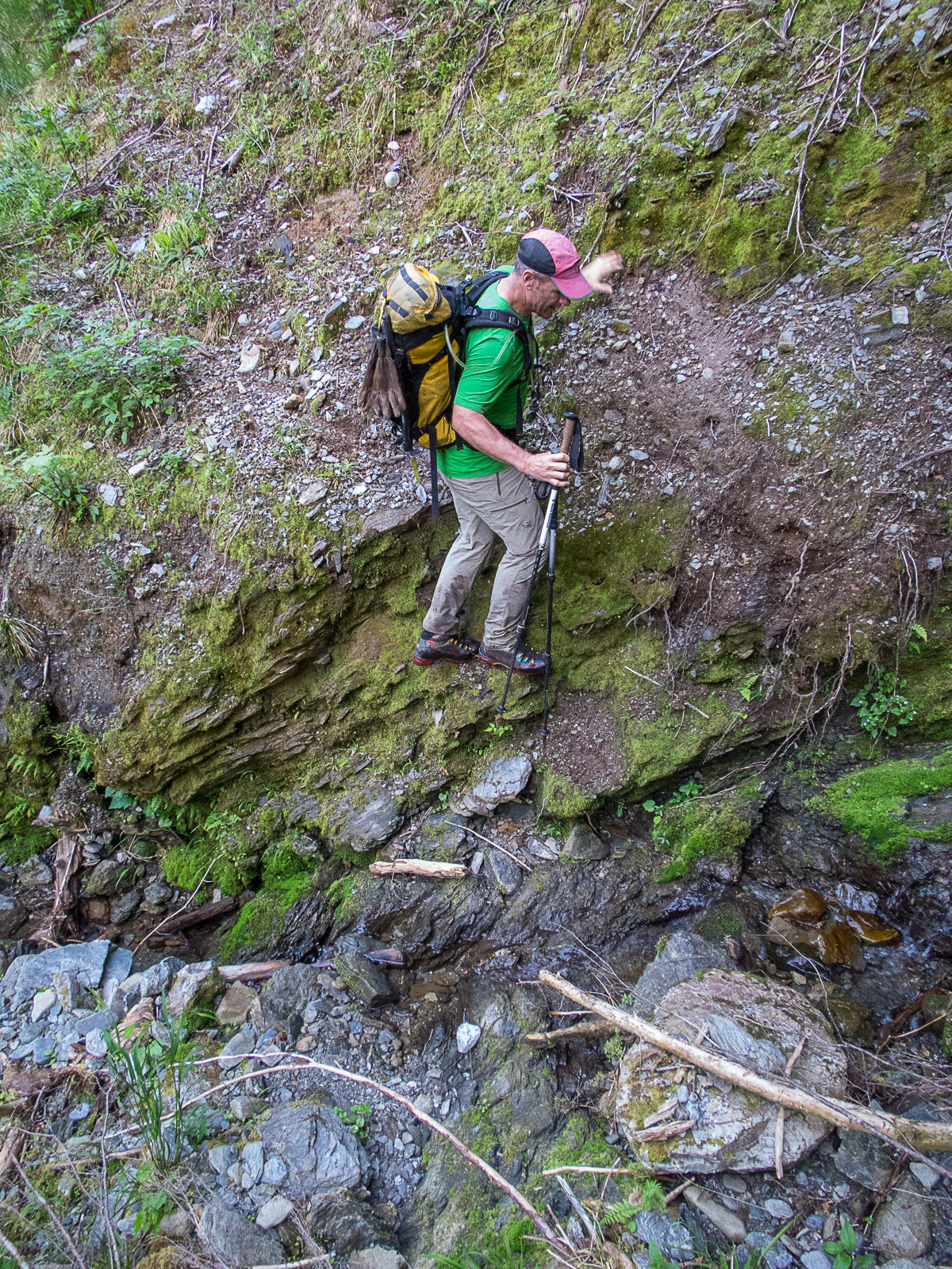
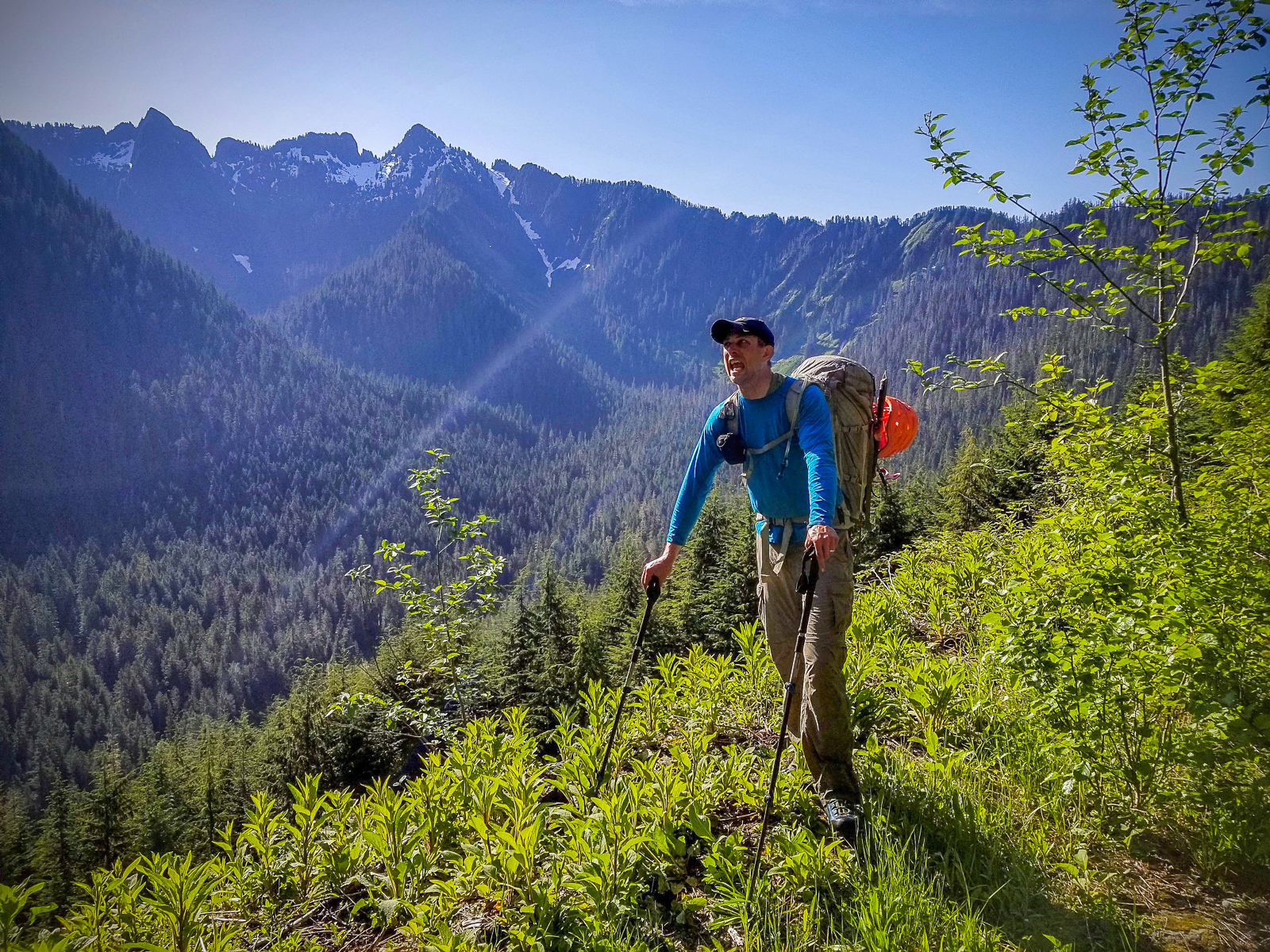
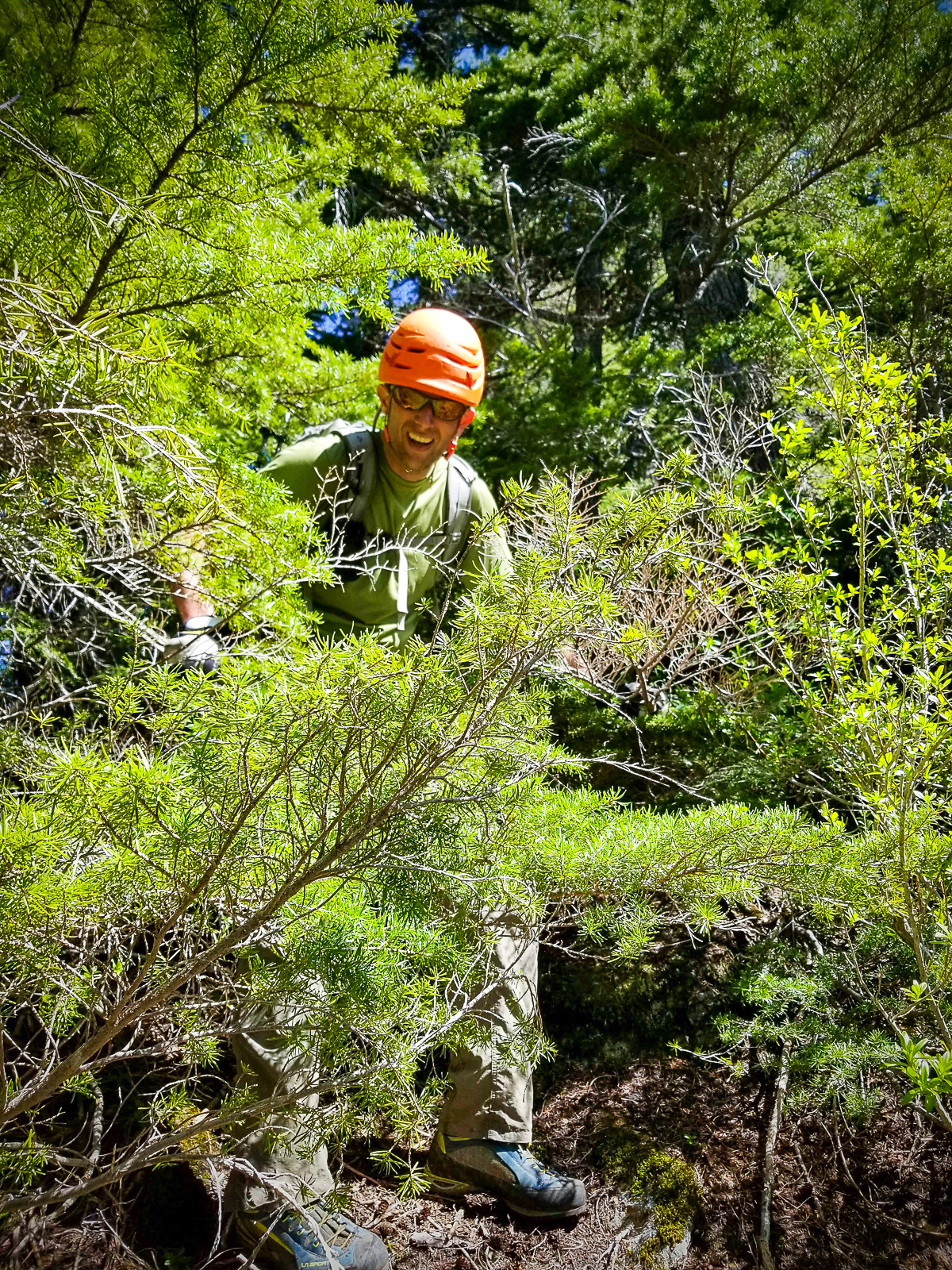
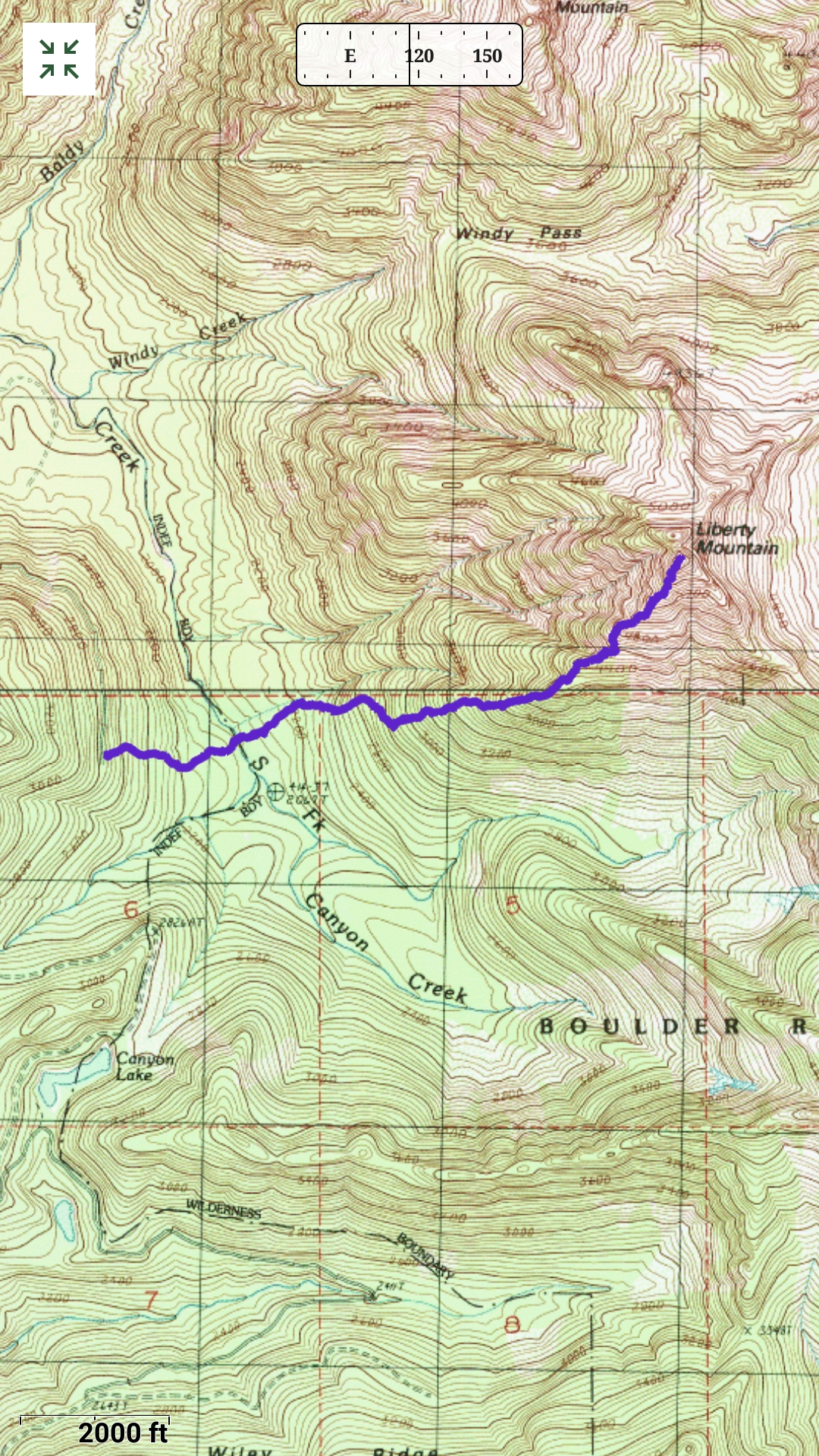
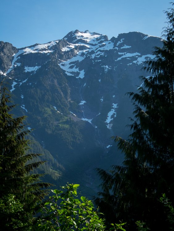
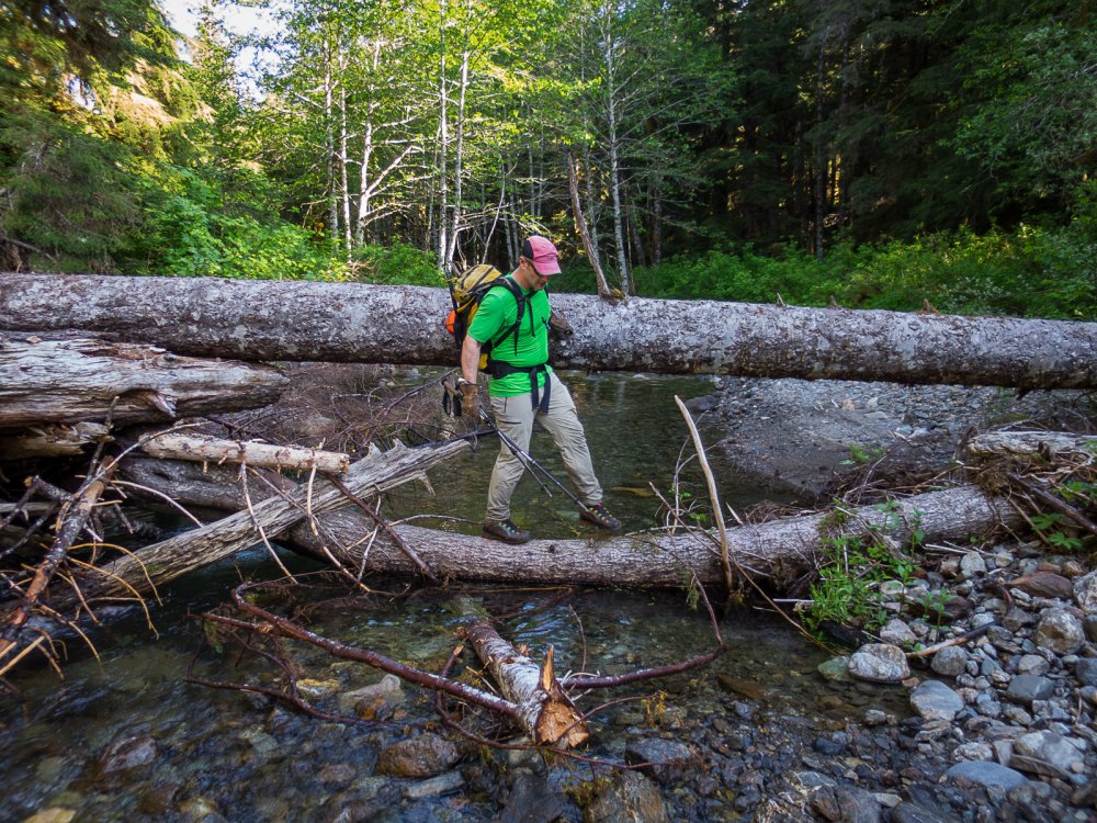
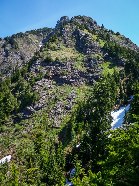
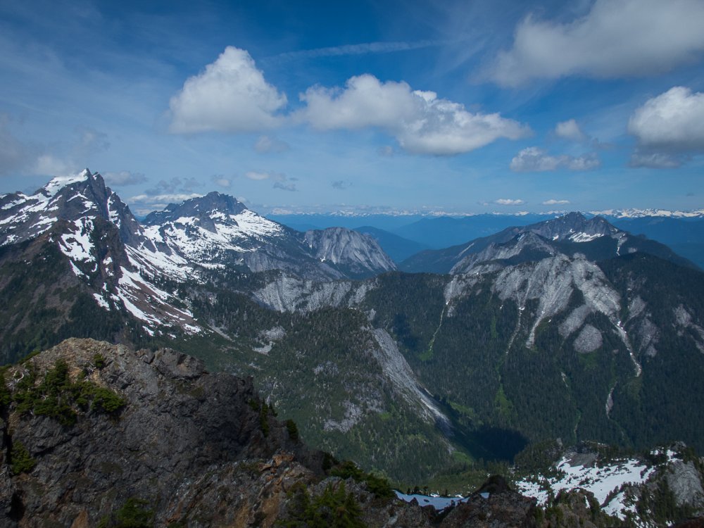
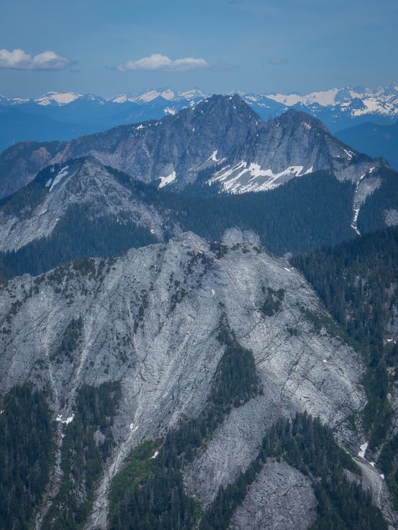
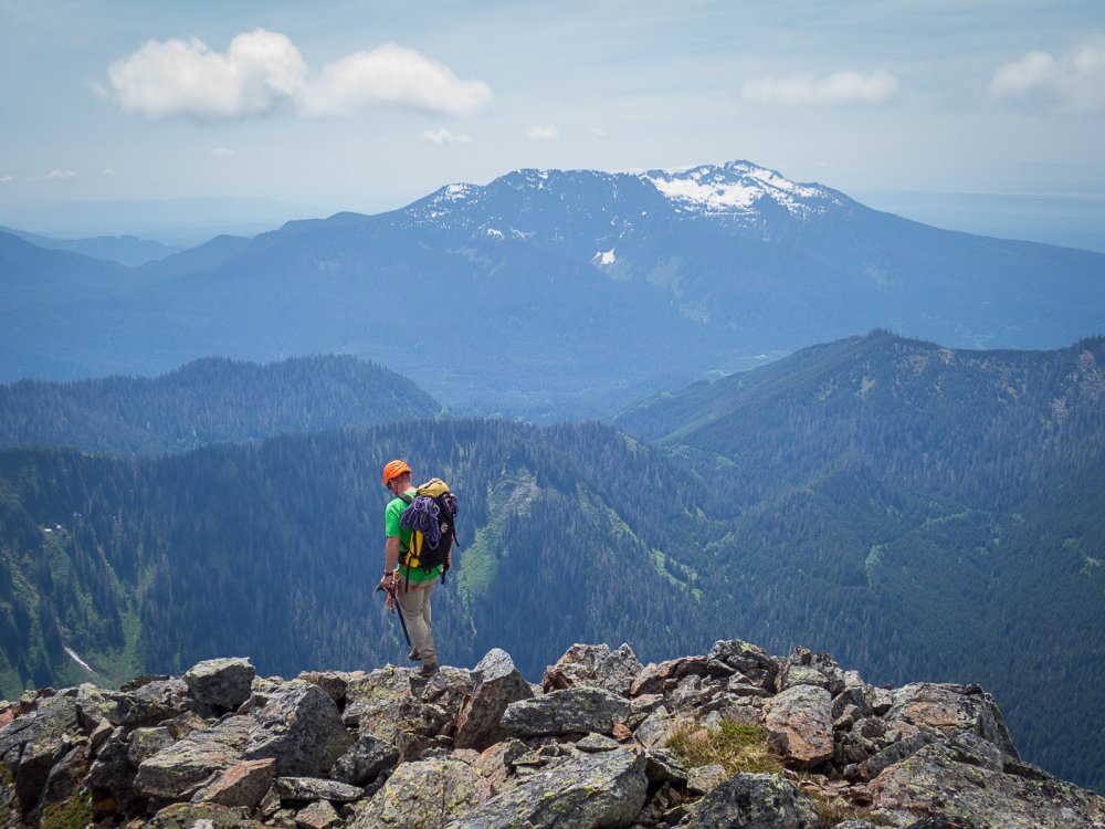
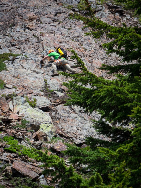
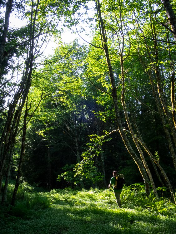
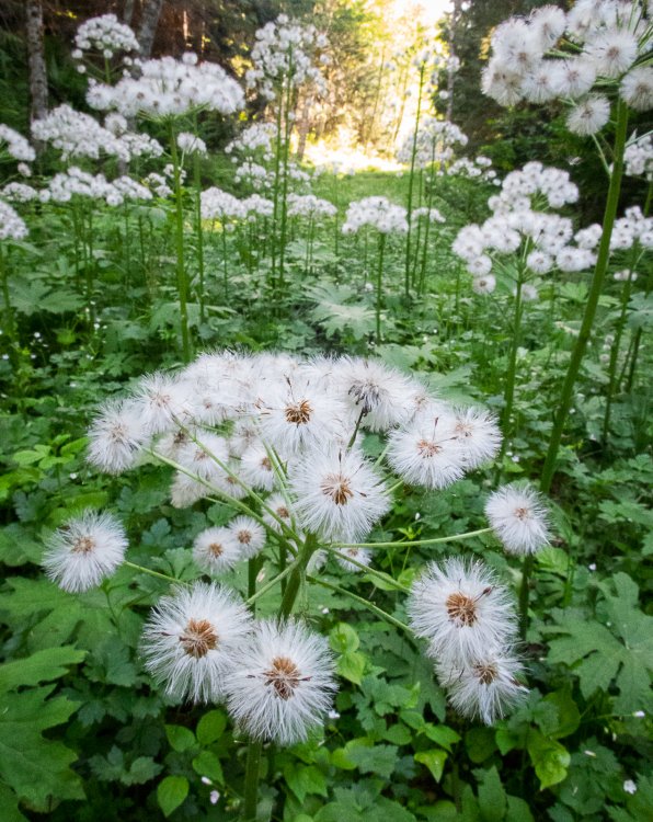
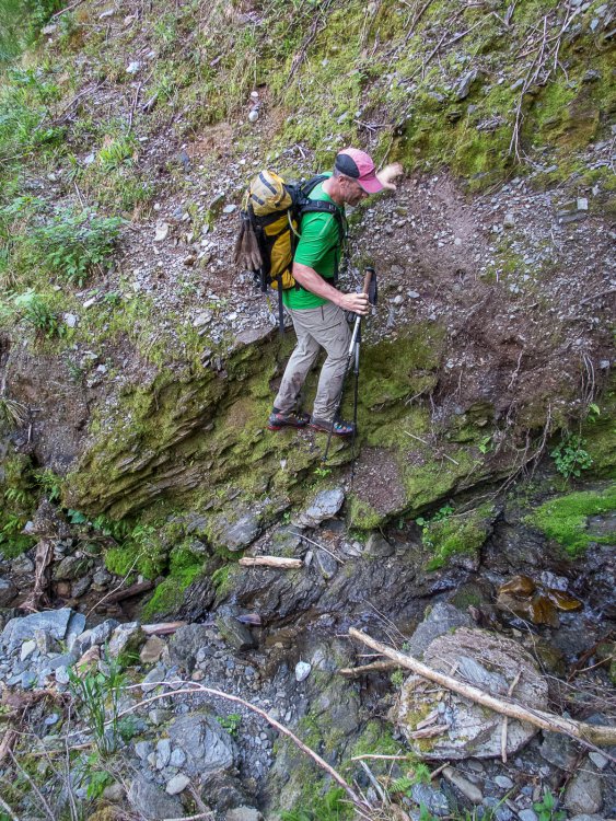
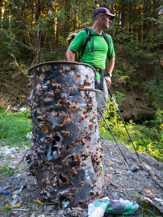
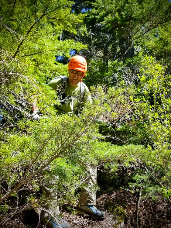
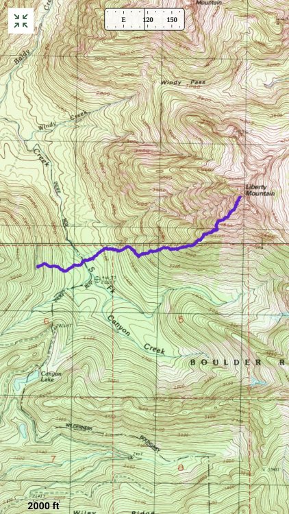
Trip: LIBERTY - The path of freedom Trip Date: 06/01/2019 Trip Report: Sometimes you see a mountain enough that it must be climbed. Such was the case for @Kit and I and this mountain called Liberty. Both of us have been driving by it for more years that we care to think about. That, and who doesn't want to be free?? Despite the reports of horrendous brush, washed out roads, and failed attempts, we were smitten. What is wrong with us? Well, we don't have time to cover all that here. But, if Liberty is wrong, I don't want to be right! It helped that we happened to stumble upon an actual pleasant route up and down the peak, with minimal brush. Really! I even recorded a track for all you obsessive P2K baggers out there. So go get it before the brush reclaims the 4130 road once again..... The massive south face of Three Fingers: LIIIIIIIIIBBBBBBBBEEEEEEEERRRRRTTTTTYYYYYYY @Kit crossing the South Fork of Canyon Creek: Pretty reasonable actually: The upper part of Liberty: The view north into the Slabbage Patch: I remember some good trundling down this face in about 1994: We only used the rope for a short rap on the way down: Extreme! More South face of Three Fingers Who doesn't love LIBERTY??!! and lots of solitude? And blown out roads? And blown up stuff? Gear Notes: We brought a rope and used it in a couple places to rap on the way down, mainly because we had it. We didn't rope for the two 4th class bits on the way up. It is actually likely better after the snow is gone and the crossing of Canyon Creek low. Approach Notes: Walk 4130 for 4 miles or so until you intersect the GPX track I've posted. It will serve you well to the summit and back. A couple more years and the road will be totally brushed in and very annoying. Go now! LIBERTY!!!!! 6_1_19 8_30_51 AM.gpx


 1 point
 -
https://www.seattlemet.com/articles/2019/6/26/ballard-s-ascent-outdoors-is-back-from-the-dead?fbclid=IwAR3VWSnTSkJPA3mC5mq1uwPC6T_DdkAmRuNjqf4lMn_fB_r-SYBJing5fe41 point
-
yesterday i woke up...1 point
-
Trip: Colchuck Balanced Rock - West Face Trip Date: 06/23/2019 Trip Report: Some people use the solstice for really long days from sunrise to sunset, getting in as much adventure as possible. We used it to sleep in and still get in a full day of awesome climbing. Leaving the trailhead at 9am we made quick work of the hike up to the lake. From there it was uncharted terrain for the both of us. The climbers trail was way easier to follow than we expected, very well cairned and worn down. The wall looking very very good Two guys crushing Let it Burn. They looked very cool from our route. Such a cool looking route! The corner had one serious wet patch that thwarted my OS. Not bad at all though. I got very cold at the belay under the corner, making for some numb tips on the traverse. Sean about to onsight the freaking crux! Unfortunately I got no photos of the chimney. I thought it was fun. Sean did not. The descent to the base was pretty cruiser. About 50/50 kitty litter to snow. A fall on the snow could be pretty bad if you don't stop but definitely not worth bringing an axe on route, just be careful. There are currently no bugs at the base or on route. Overall the route is in great condition. Only one small wet patch up near the top of P4 and the only fixed gear is the nuts and pins at the top of P4. I cleaned a fixed nut out of the crux thinking my partner had placed it. It came out very easily. Our time came in around 11.5 hours C2C giving us enough time to go get some dinner in town. Gear Notes: Double rack .1-2 single 3&4. A bunch of slings and a single rack of nuts, mostly small. There is no longer a fixed piece at the crux. Sorry. Approach Notes: All snow free and in good condition.1 point
-
1 point
-
I didn’t realize those were in the Cascades. Stay on topic dammit!1 point